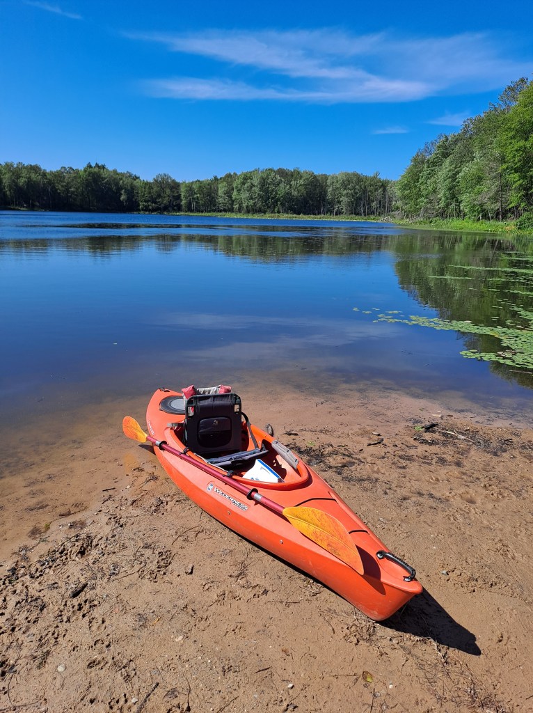
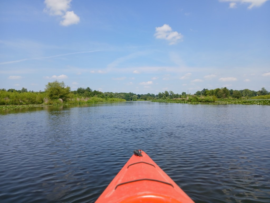
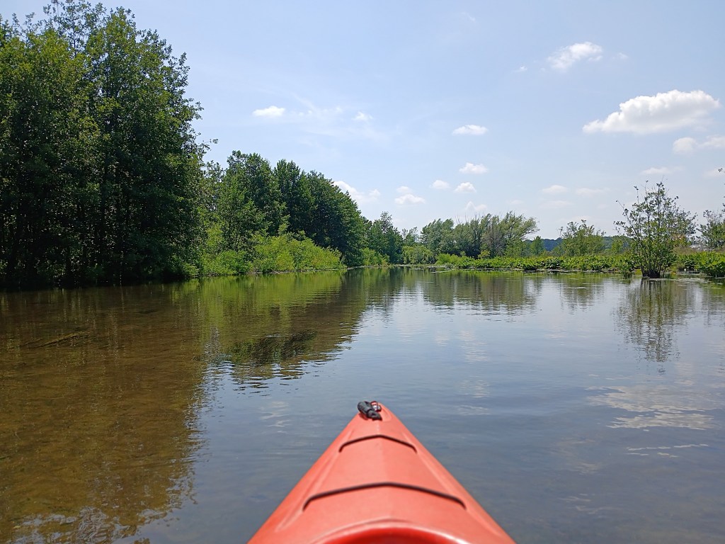
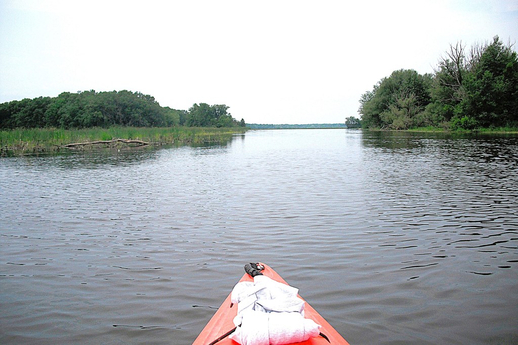
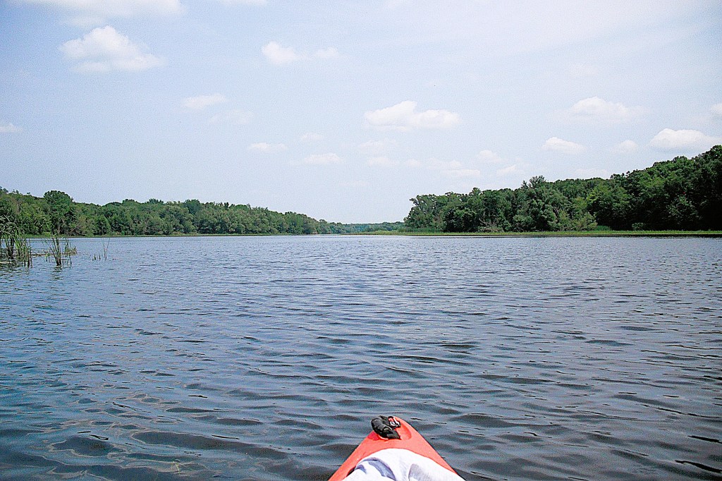
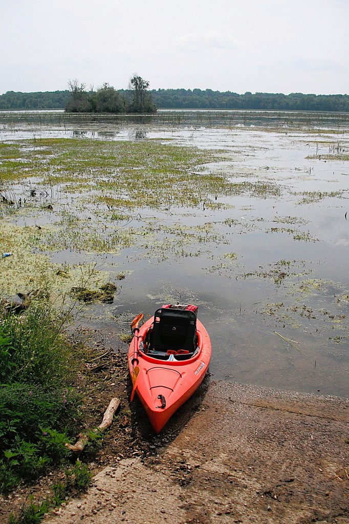
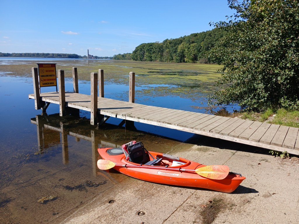
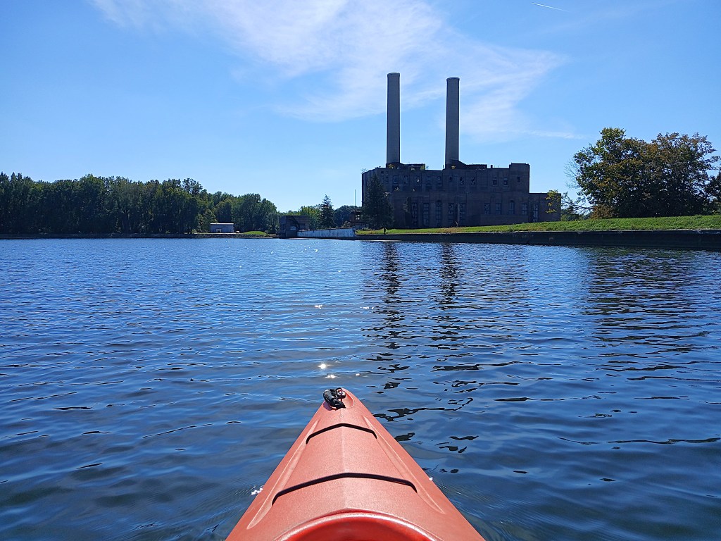
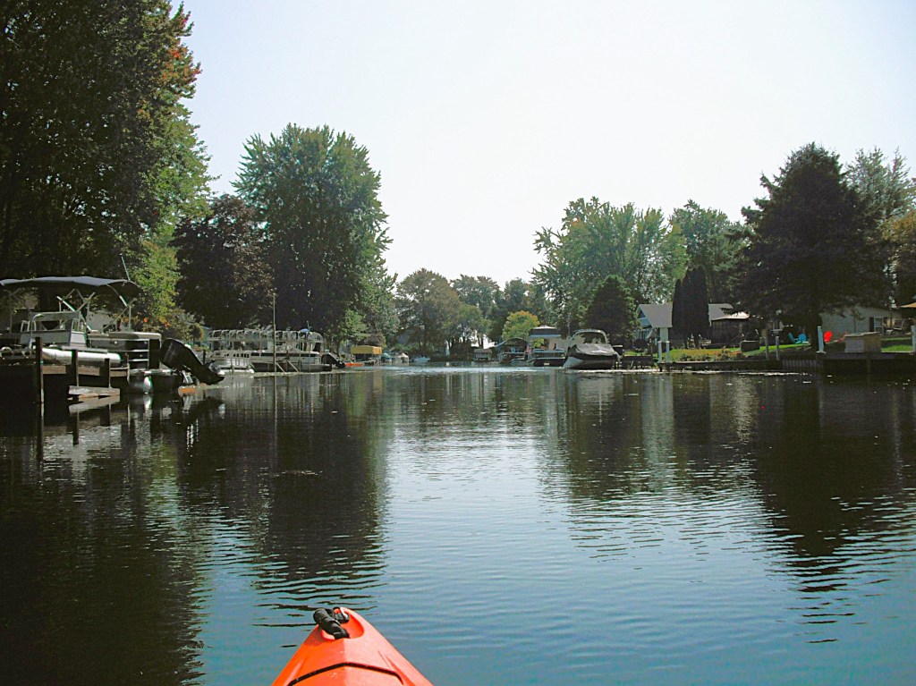
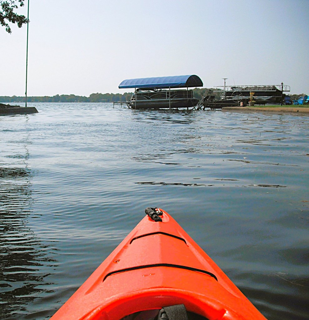
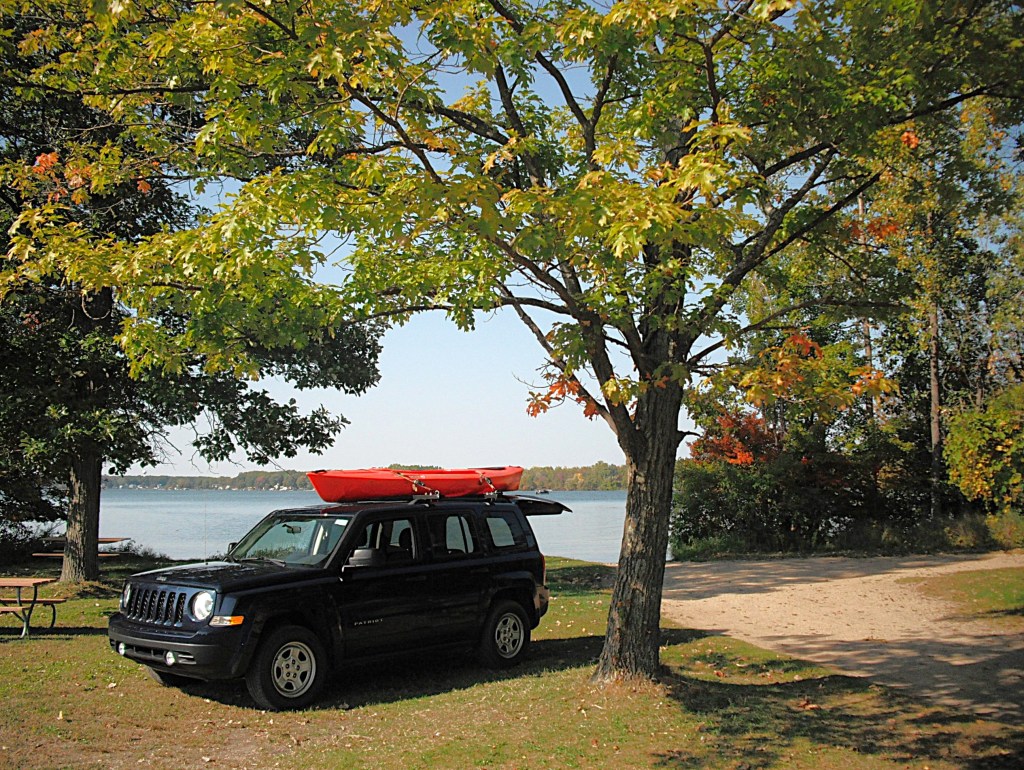
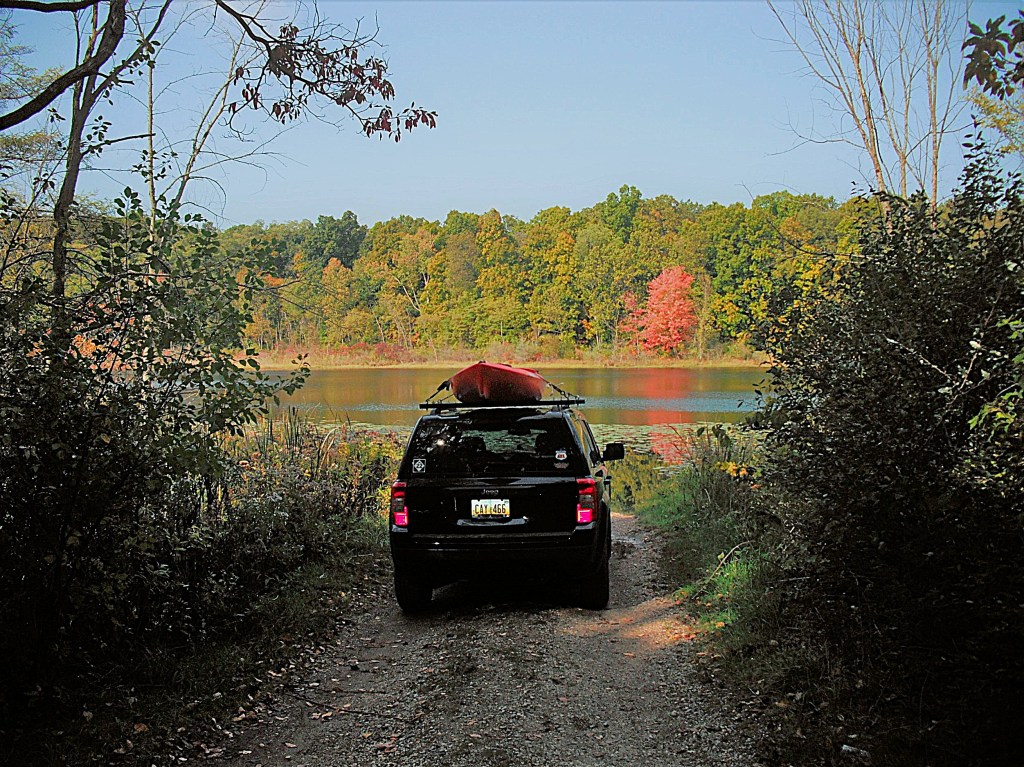
You can reach Dagget Lake from the west by heading east on Sager Road from McKibben Road.
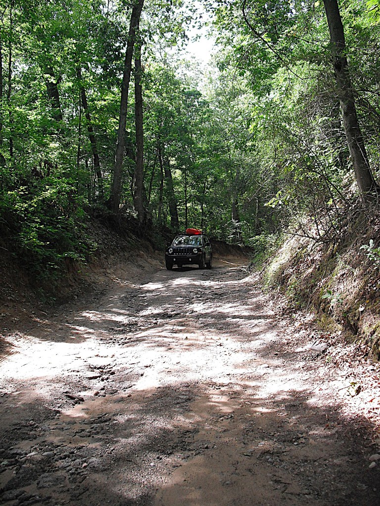
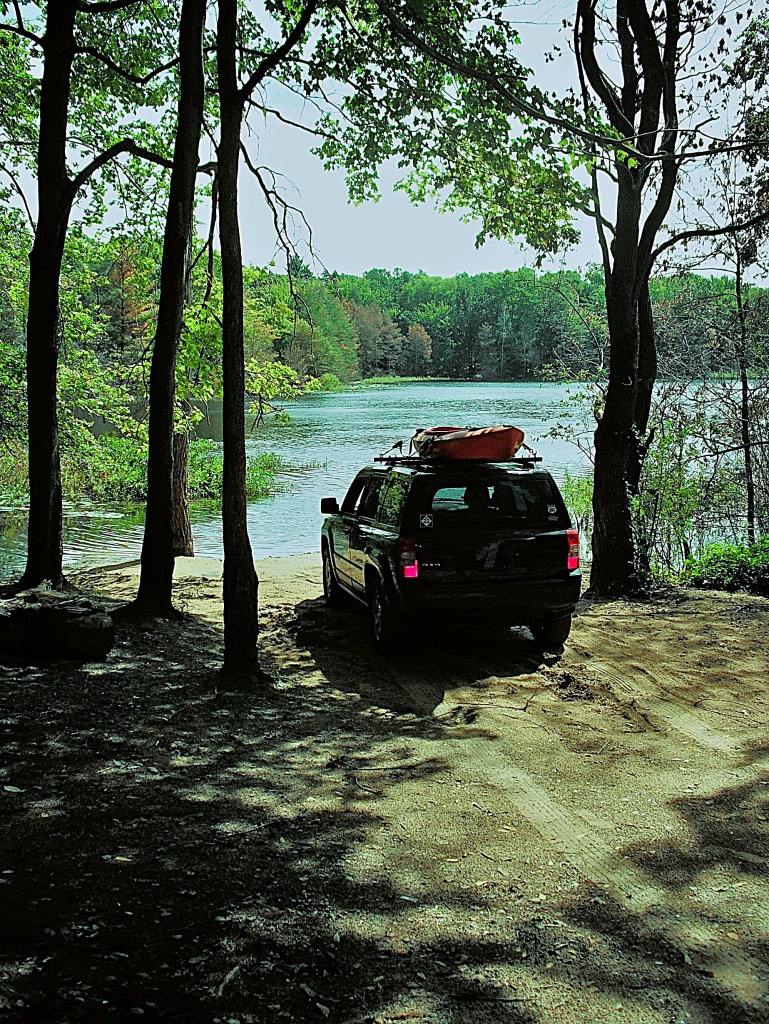
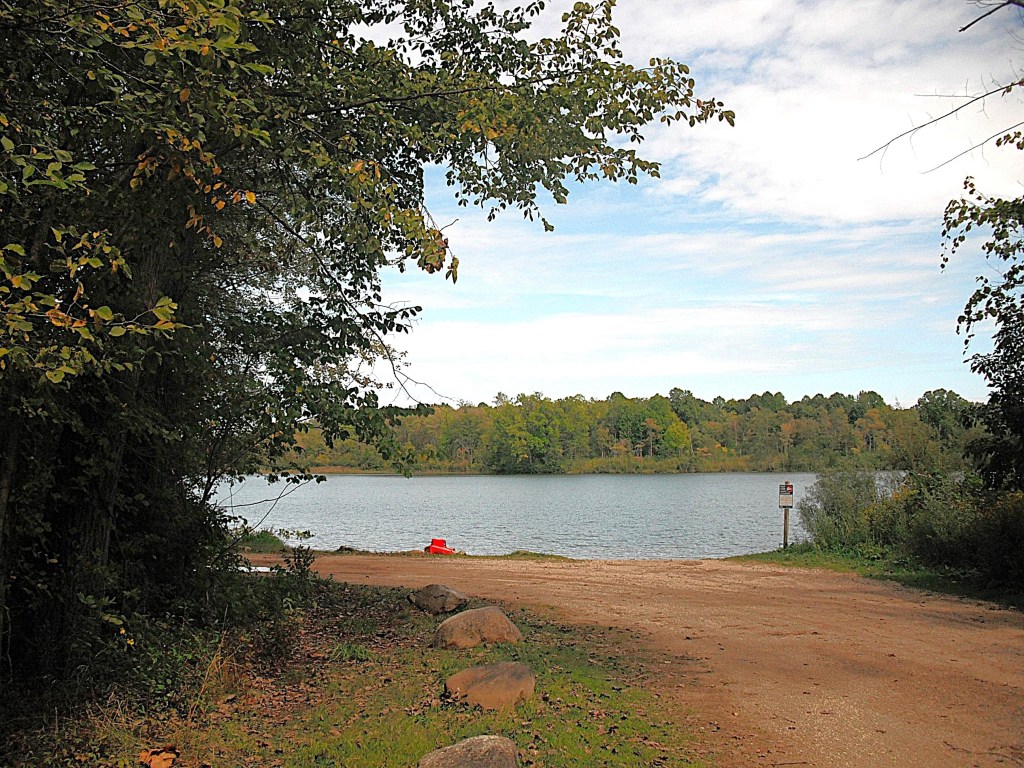
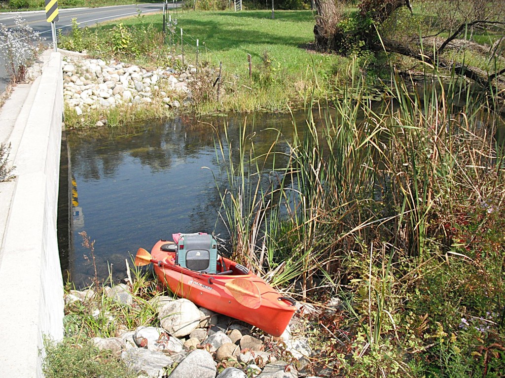
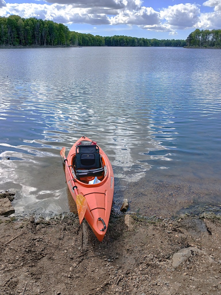
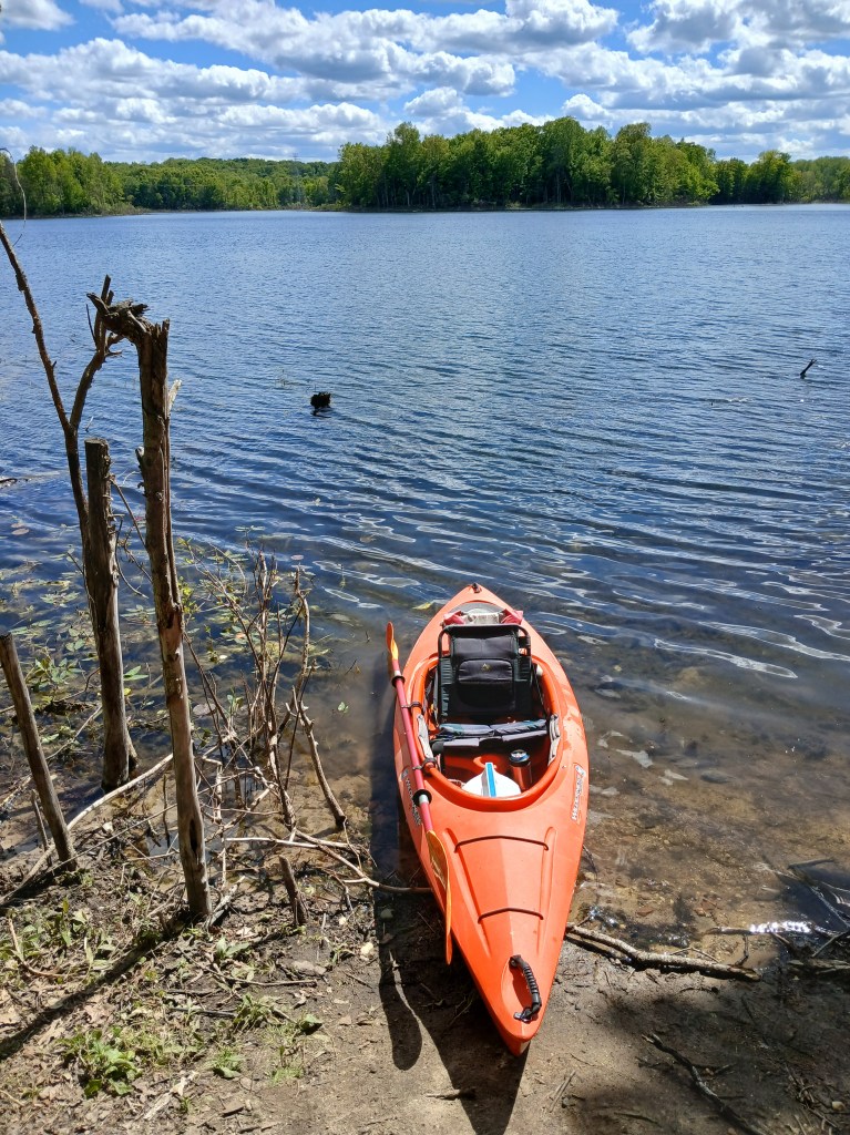
You can access the lake from the east by taking Sager Road west from Otis Lake Road. At times, Sager Road can be in bad shape. I recommend four wheel drive. Don’t get stuck in the middle of nowhere. The primitive access is on the south side of Sager Road, on the north end of the lake.
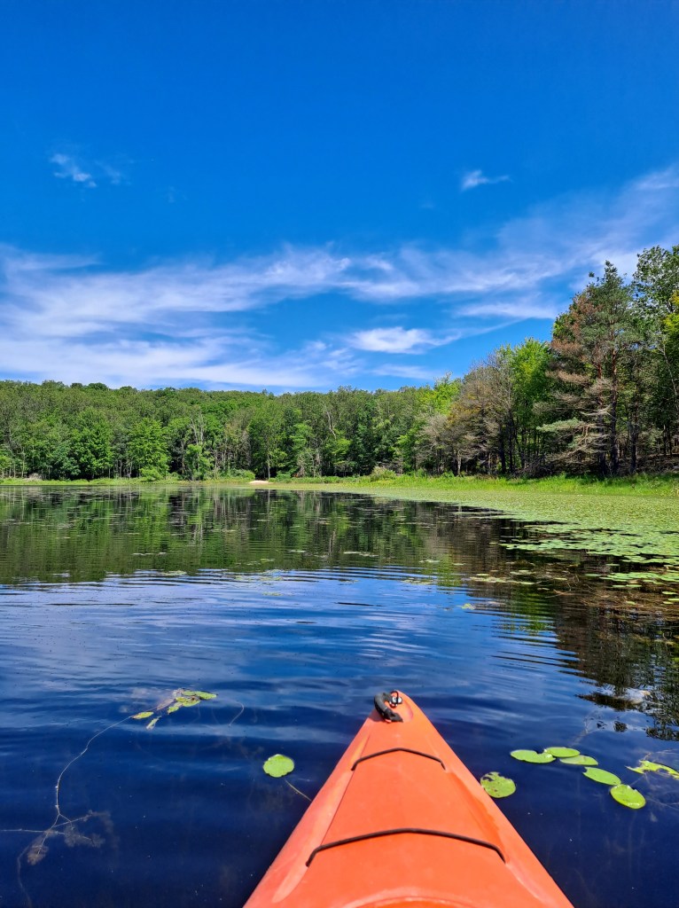
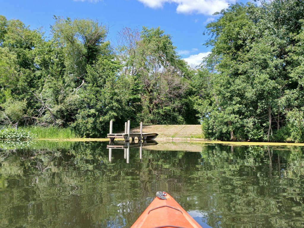
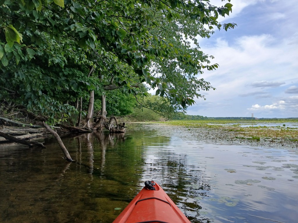
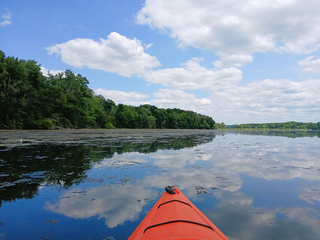
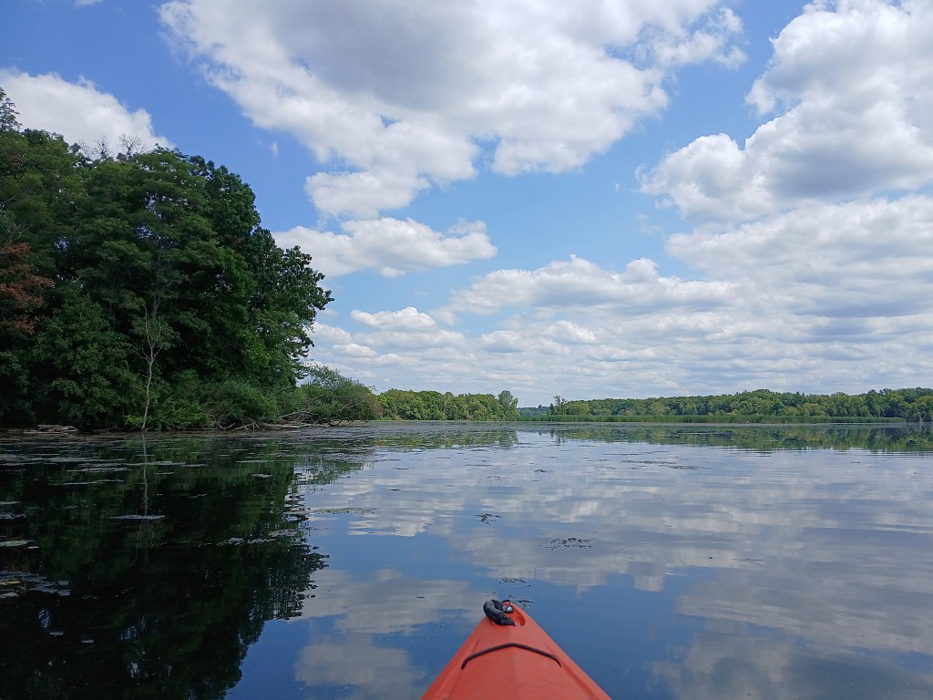
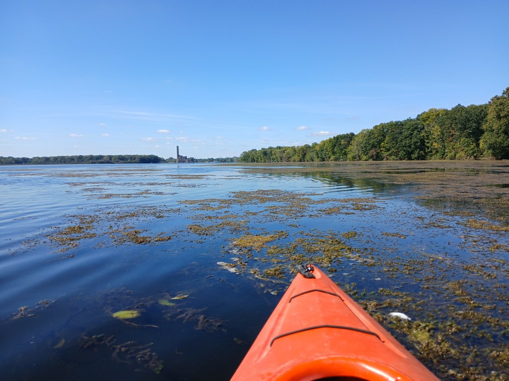
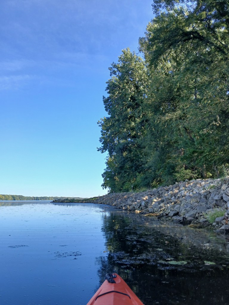
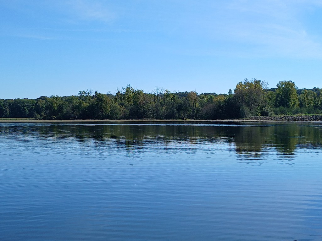
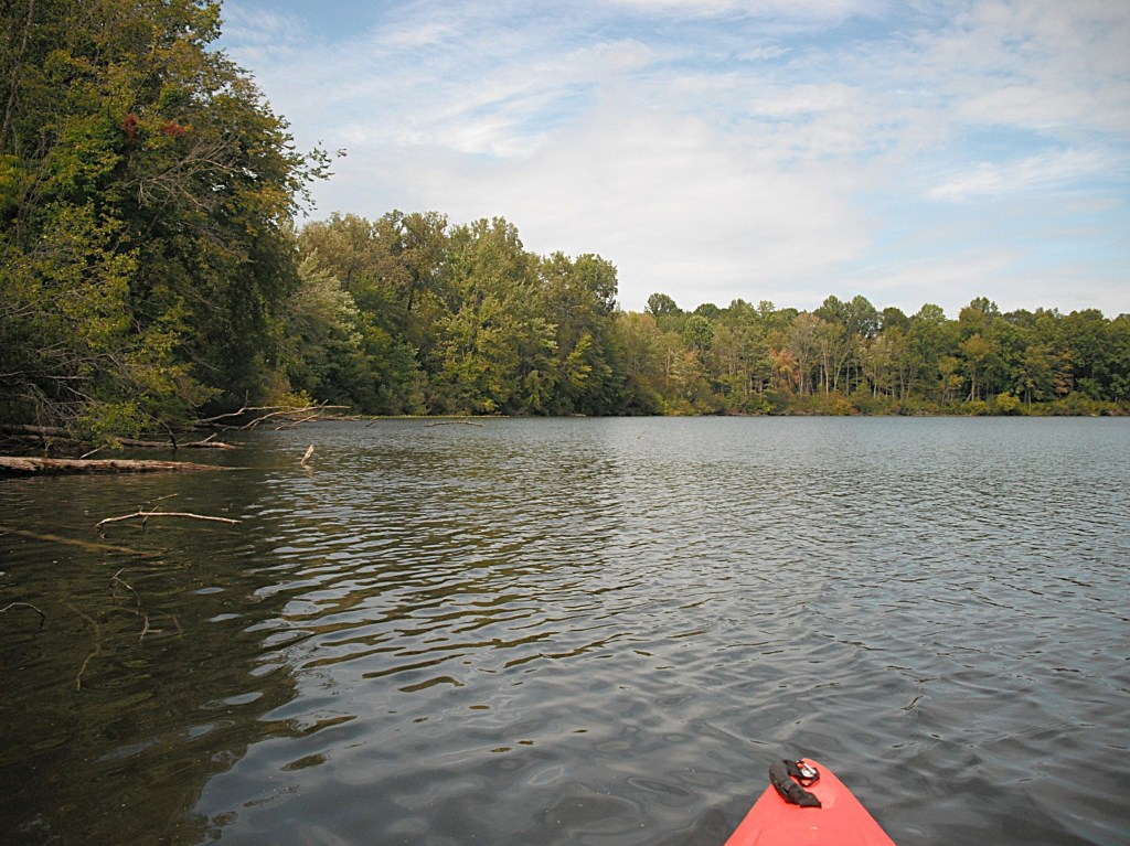
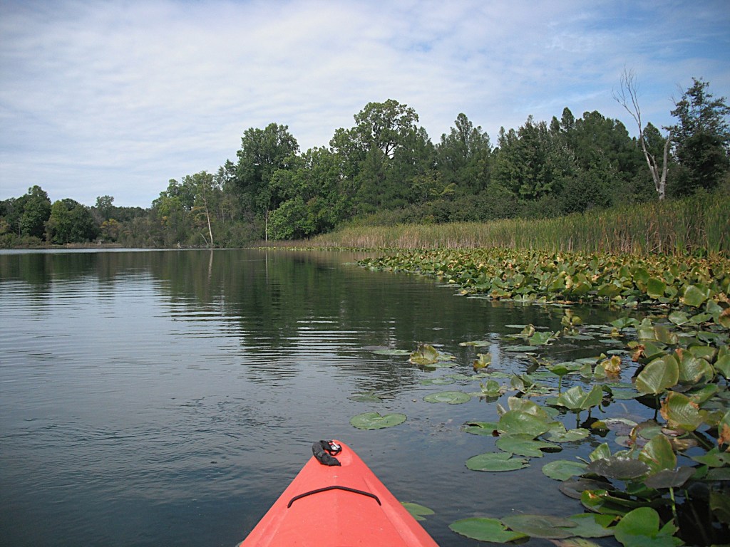
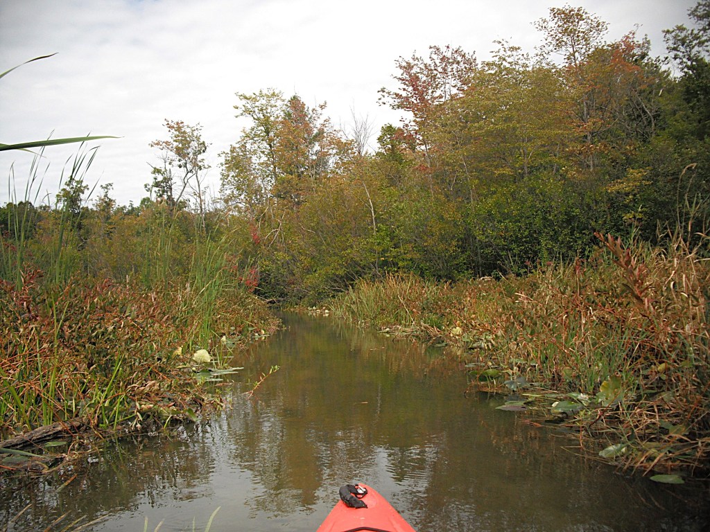
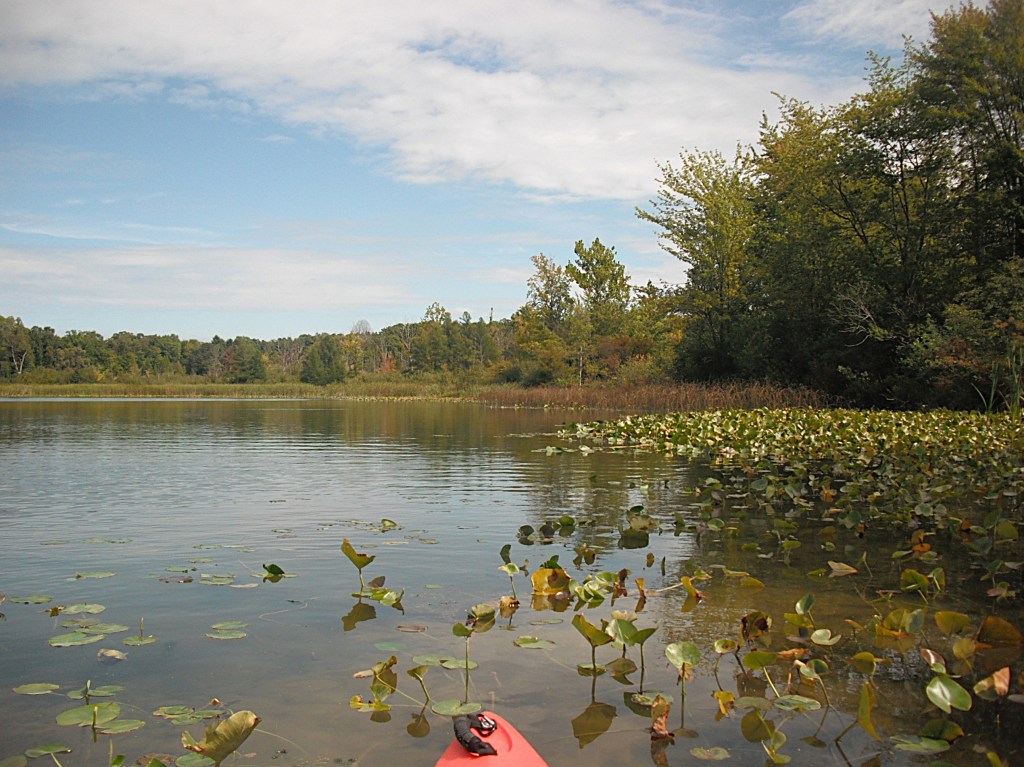
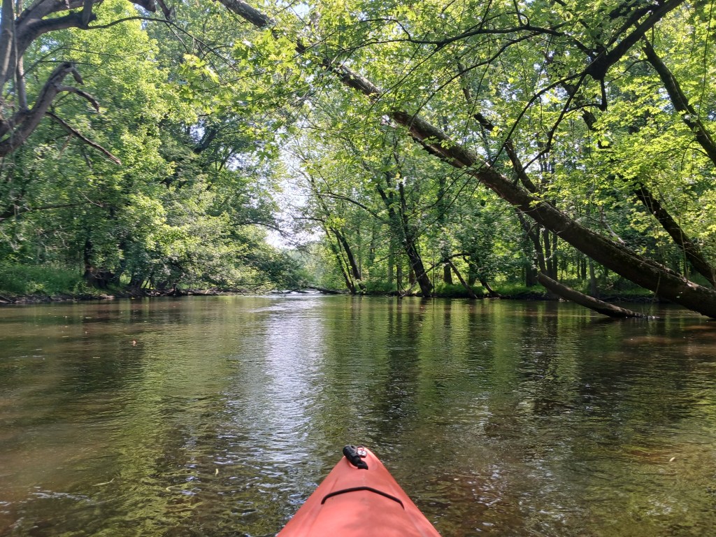
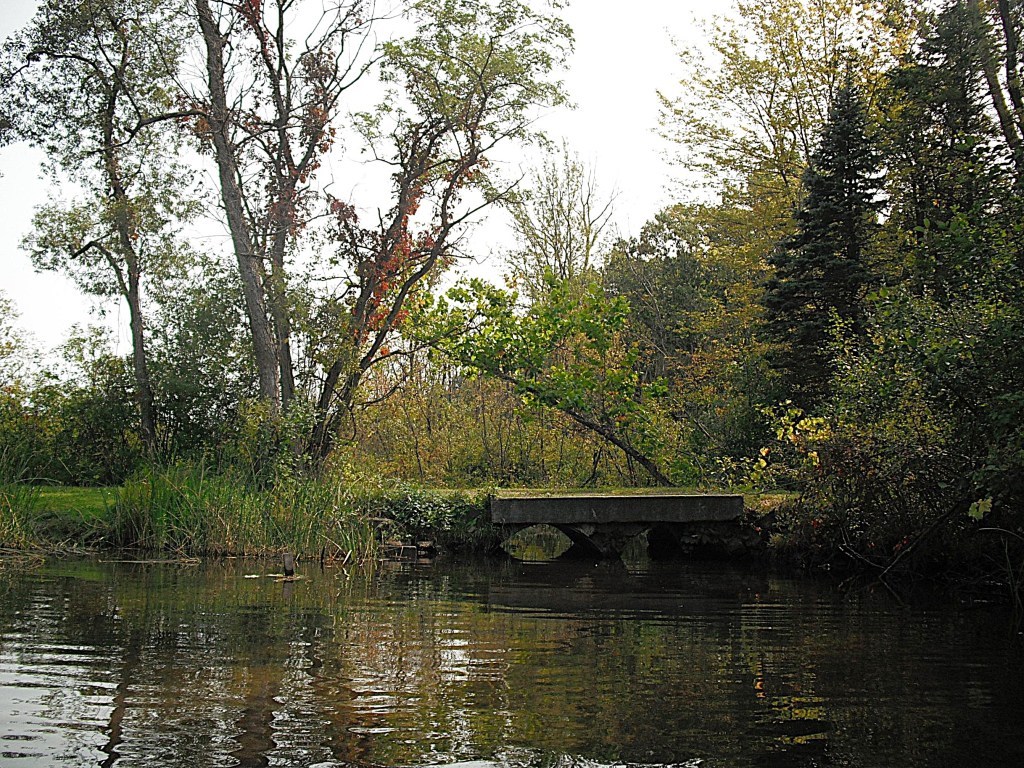
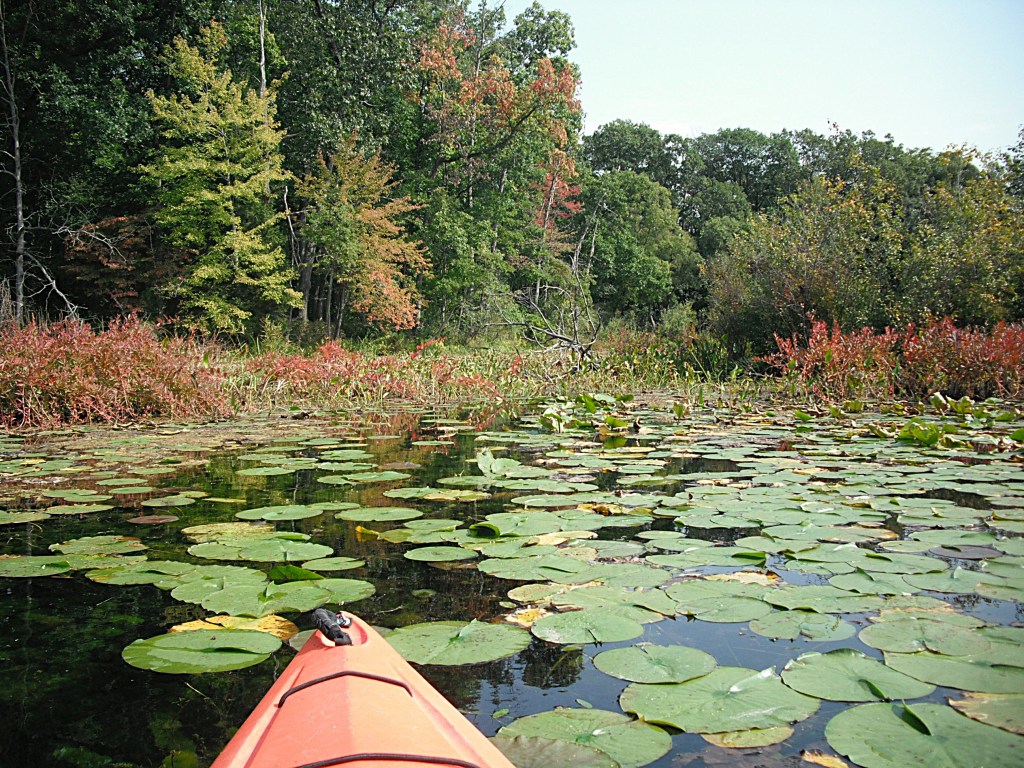
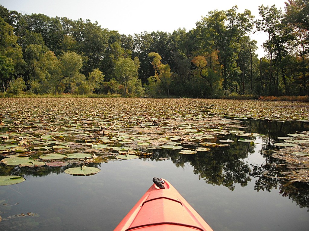
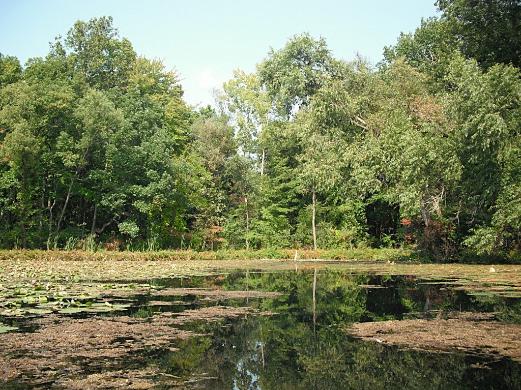
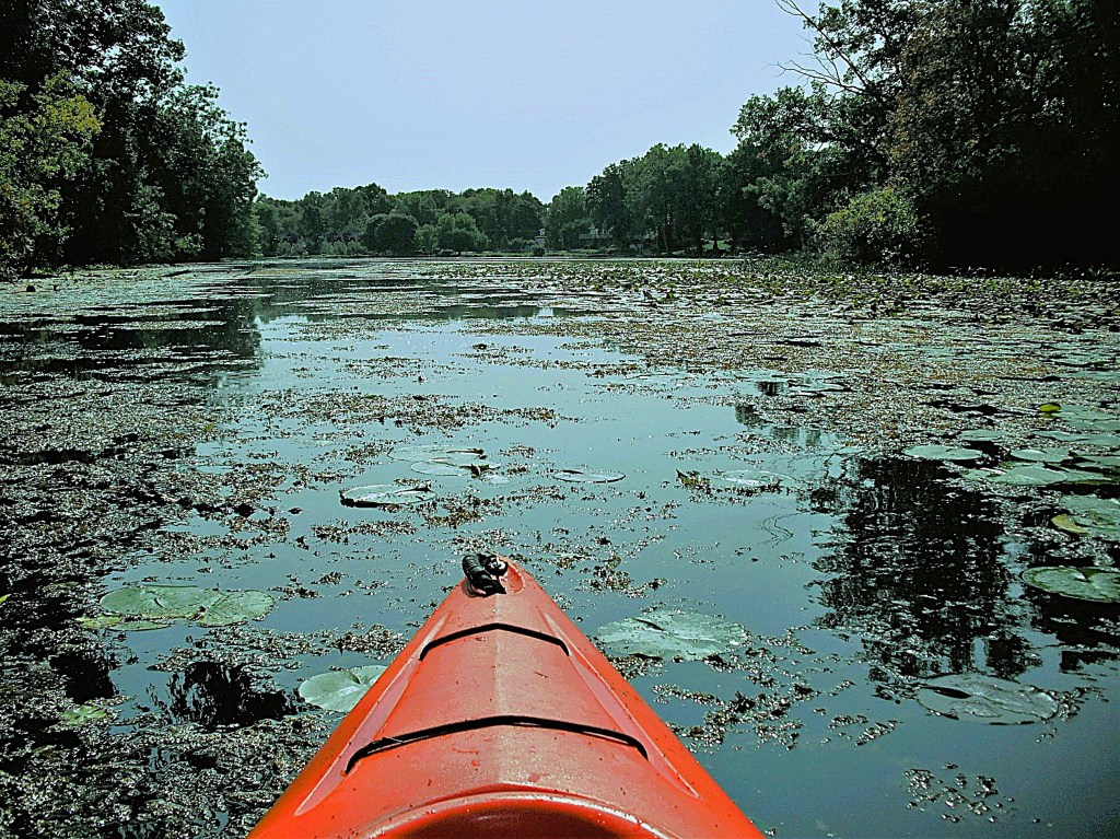
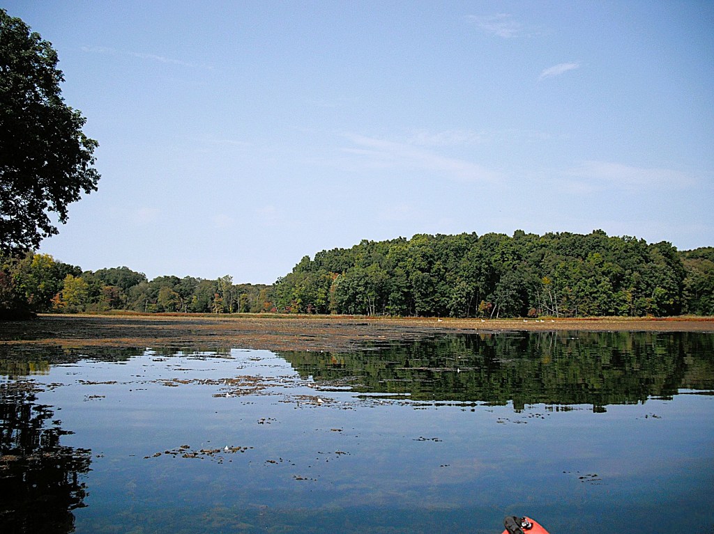
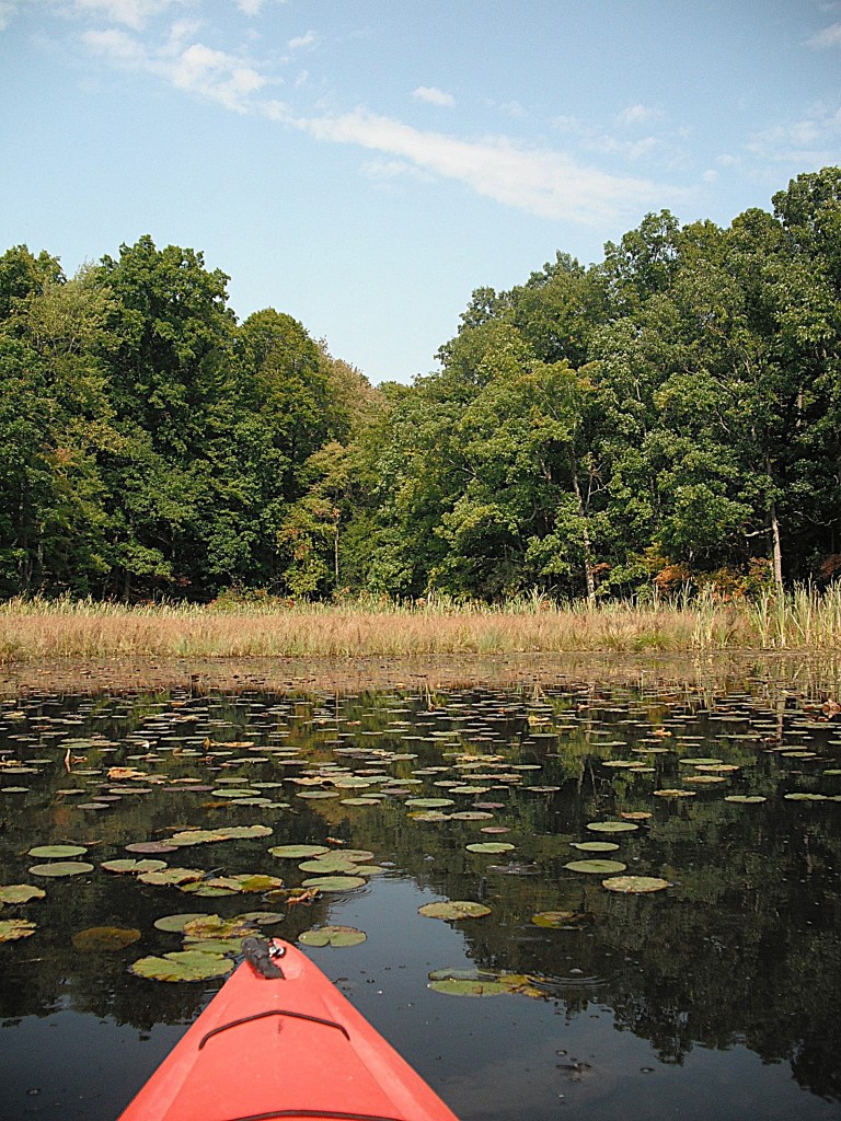
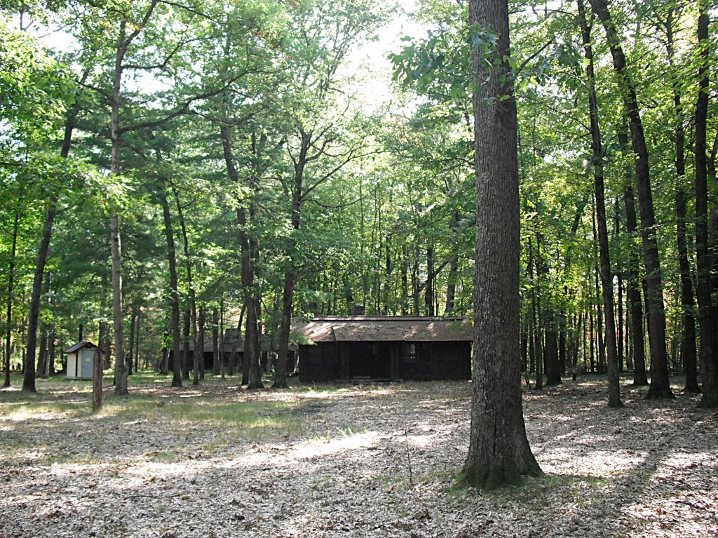
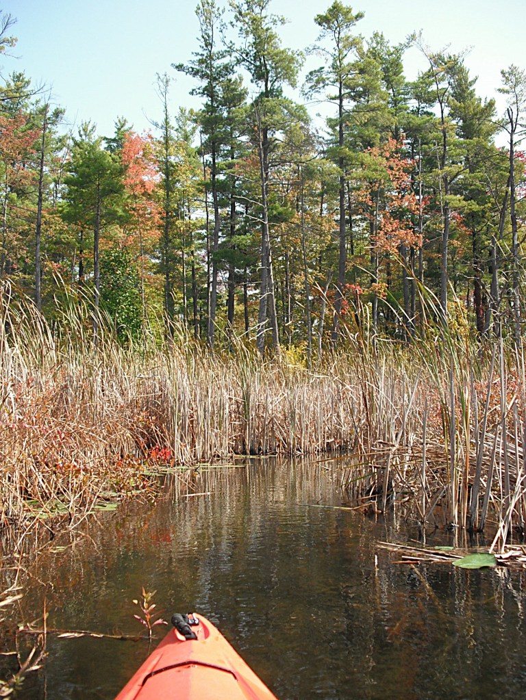
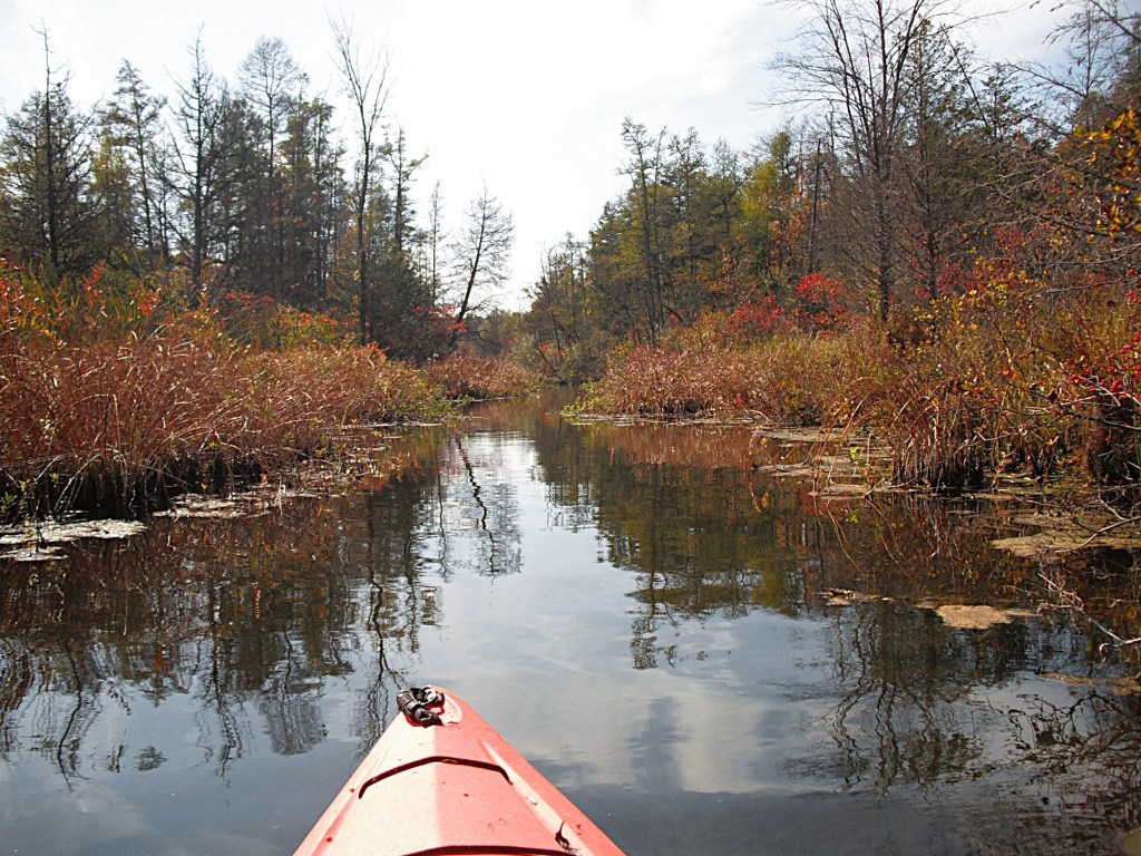
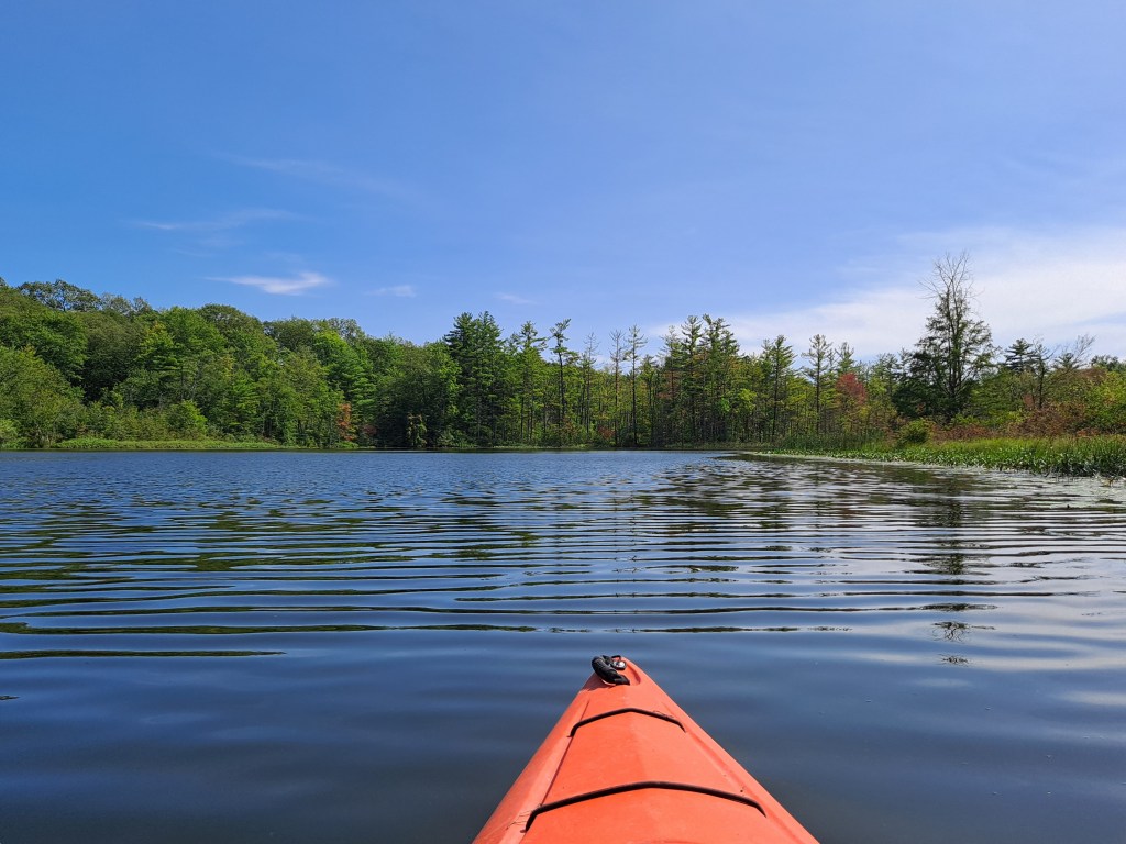
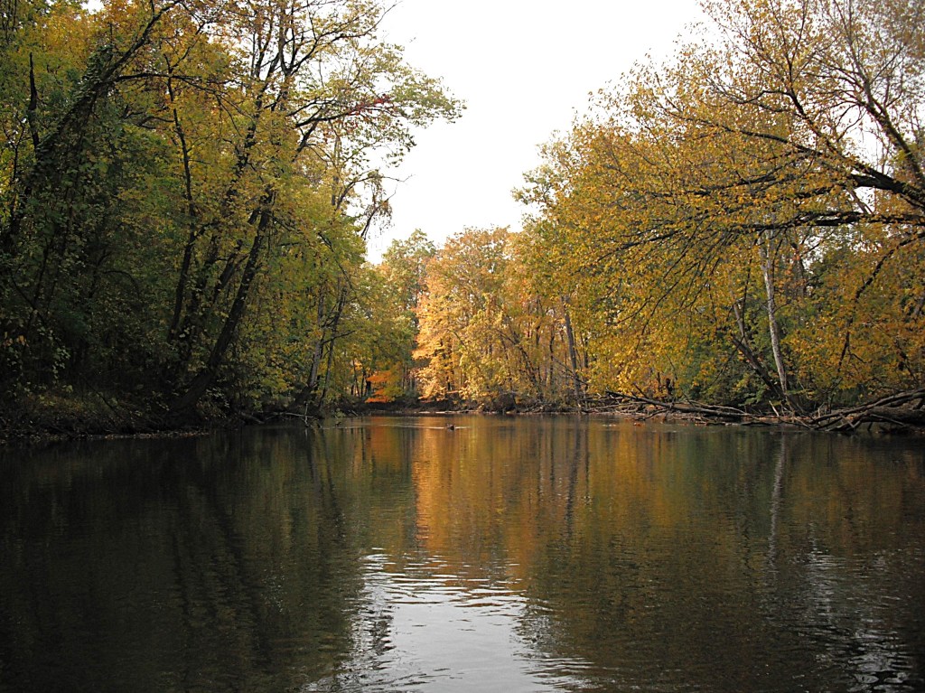
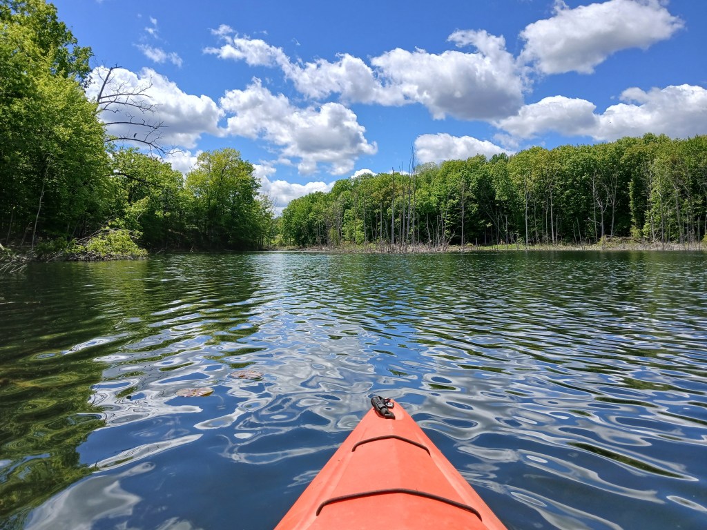
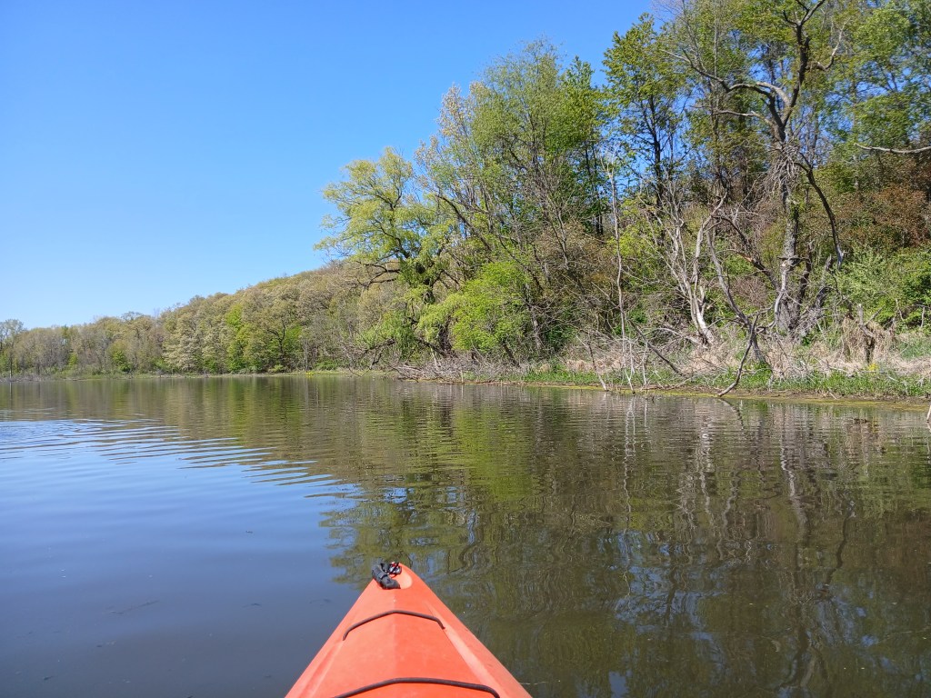
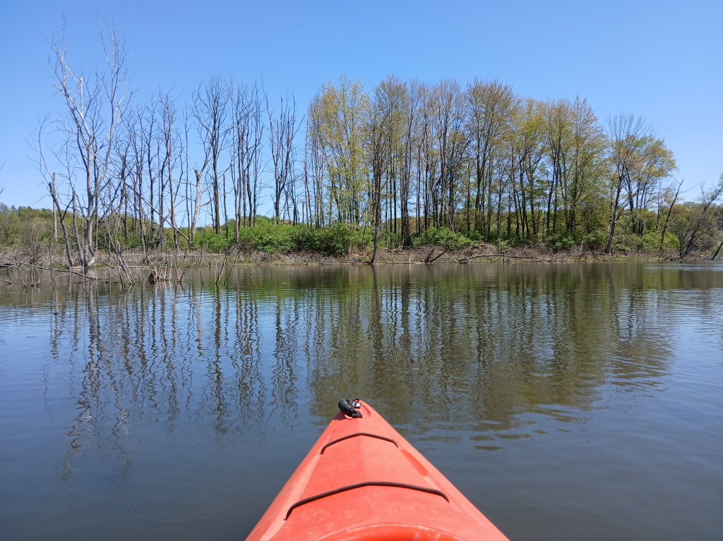
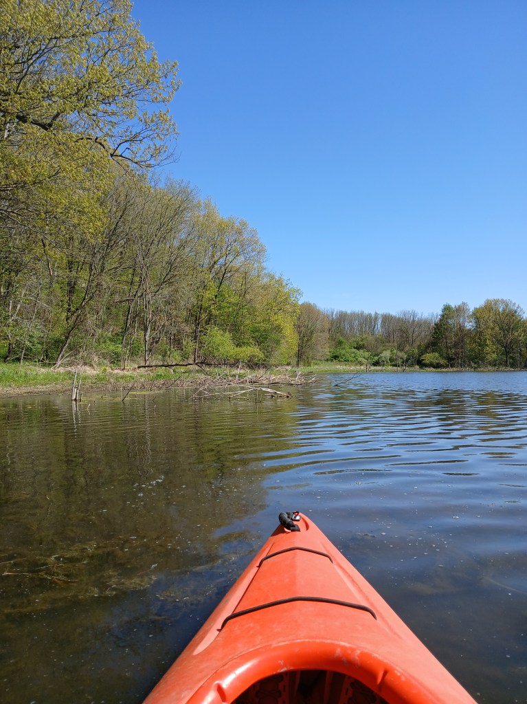
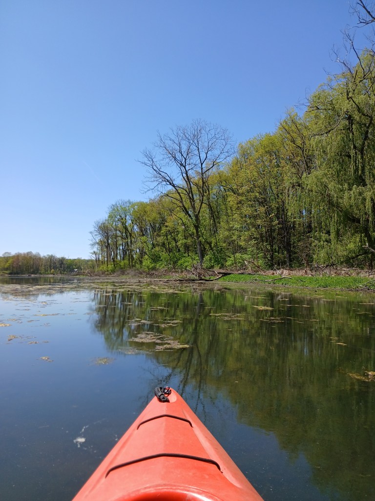
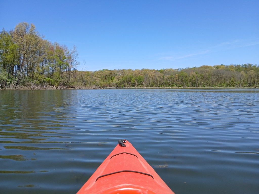
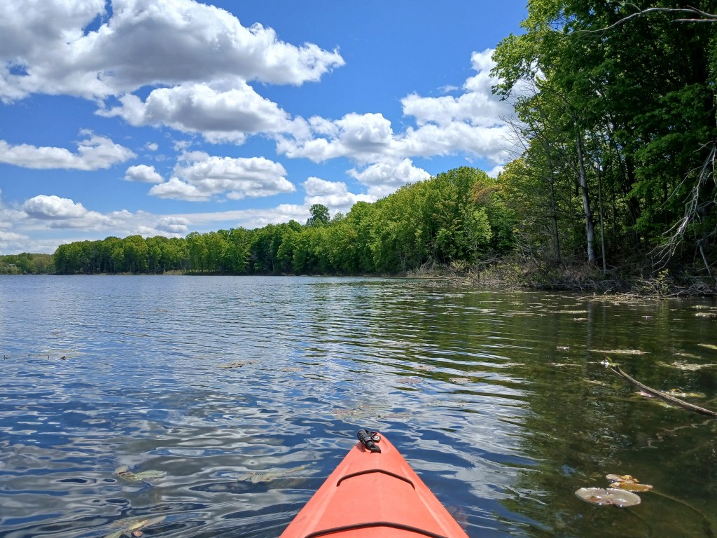
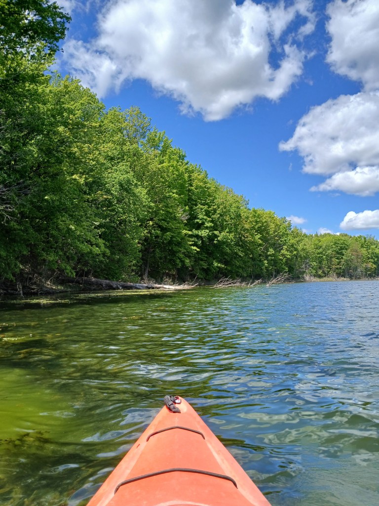
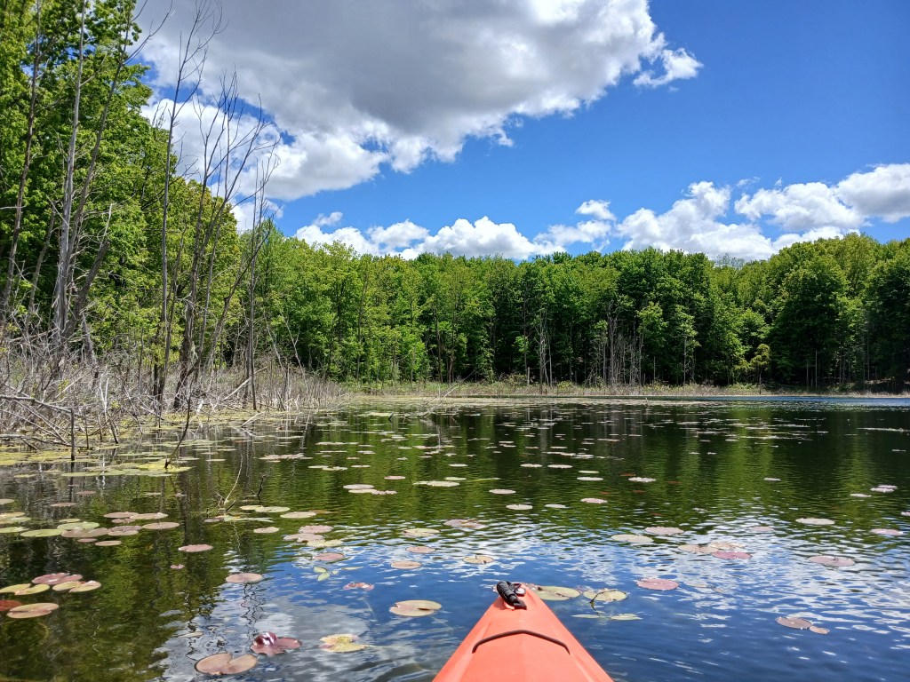
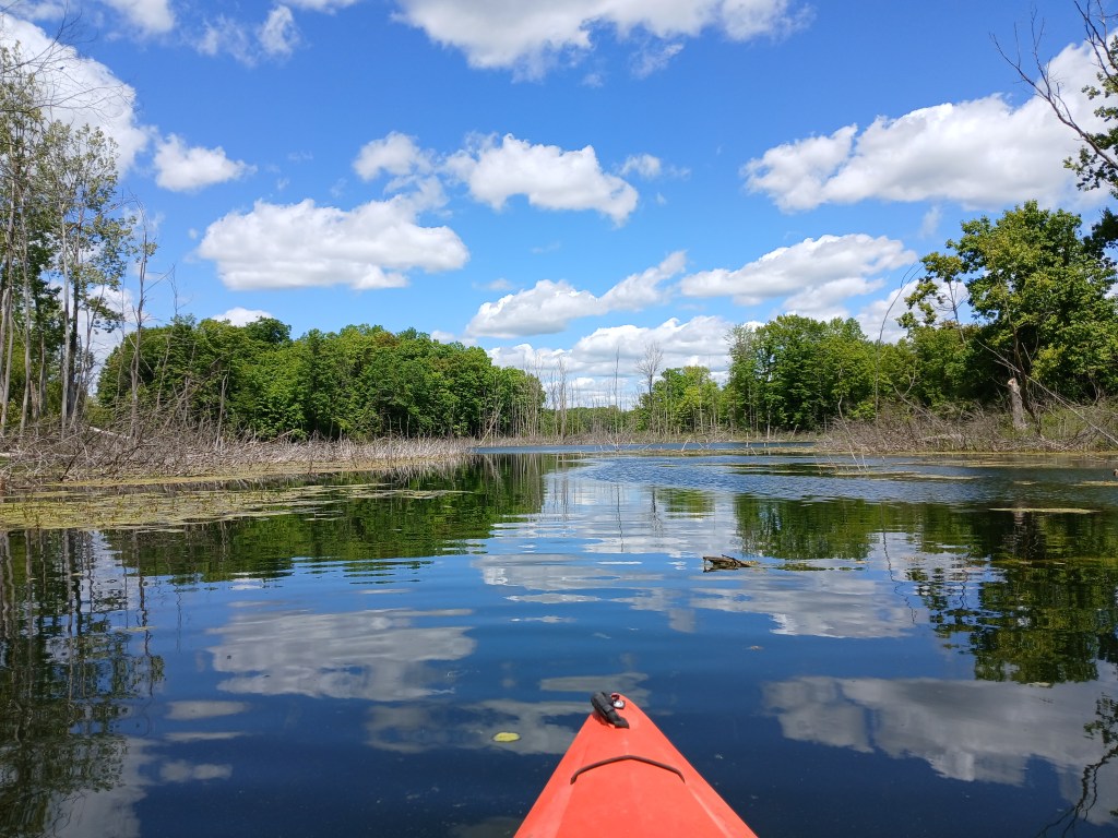
Barry State Game Area surrounds the lake. The hilly terrain around the lake is heavily wooded.
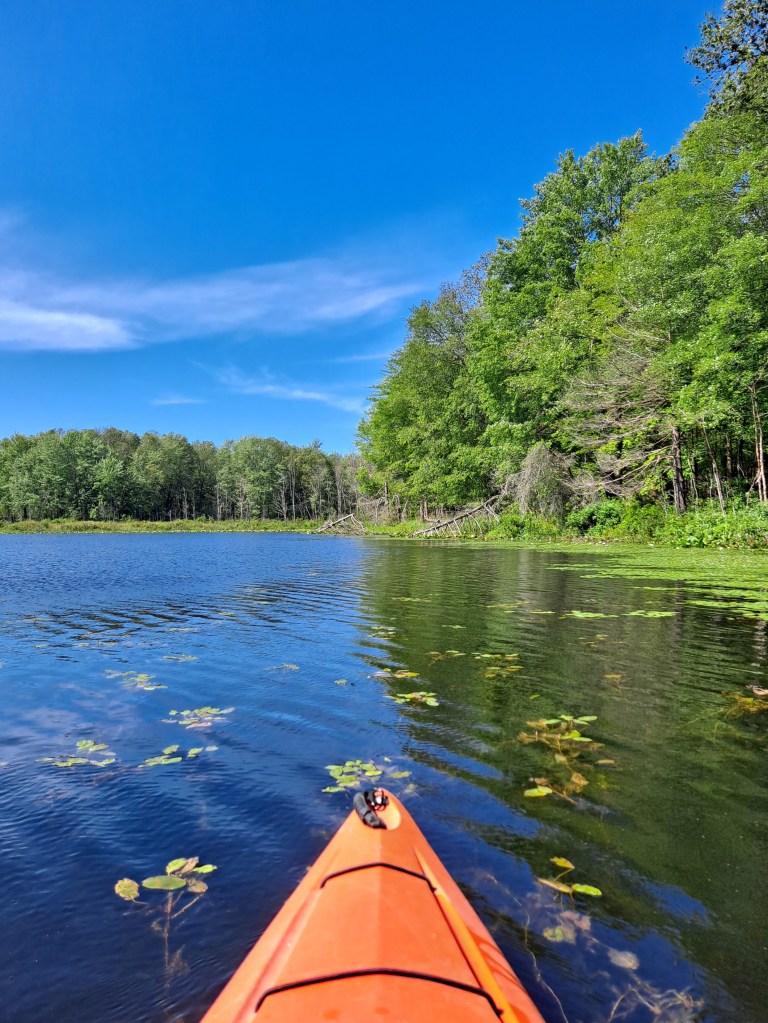
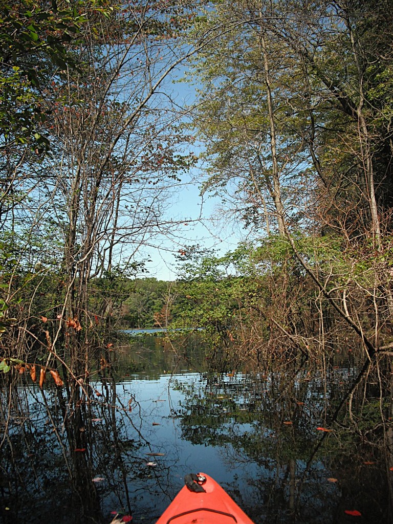
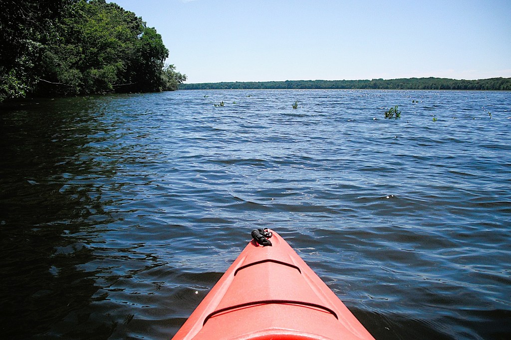
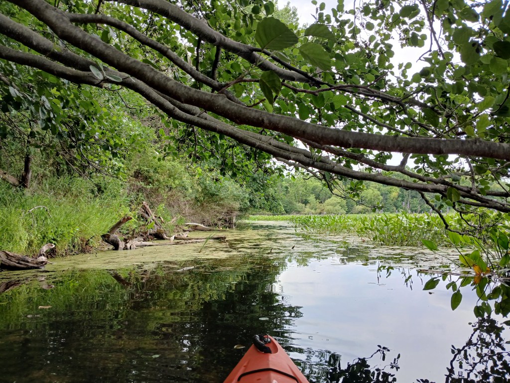
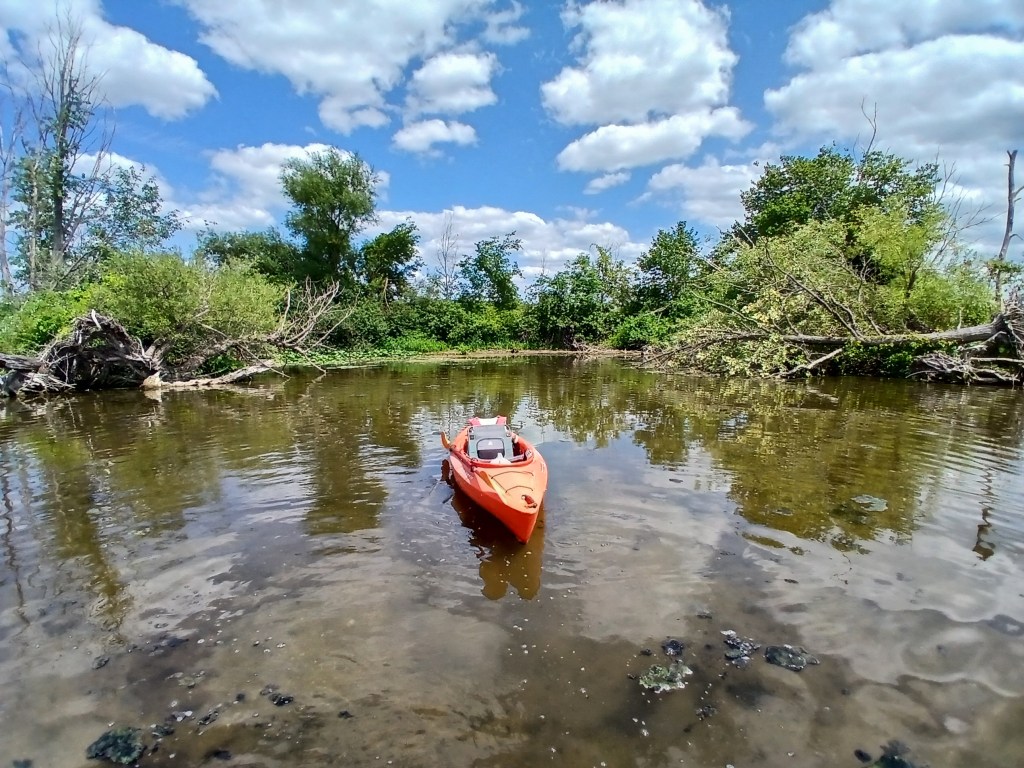
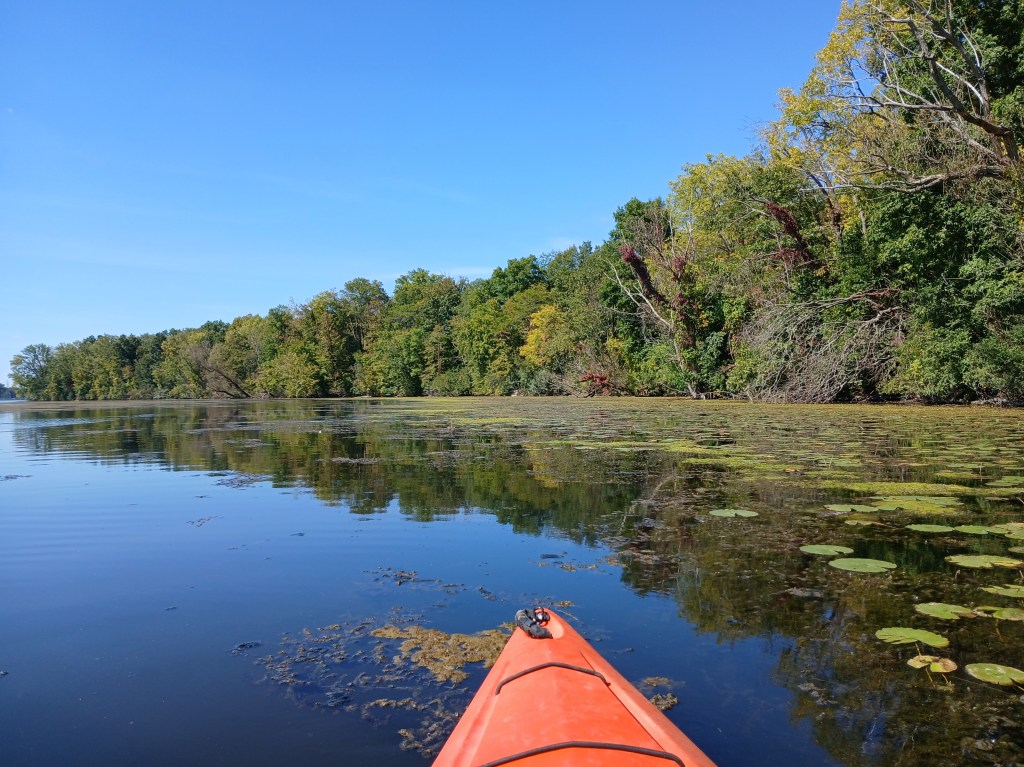
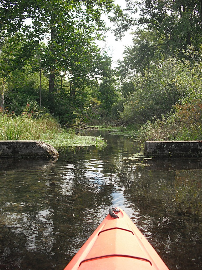
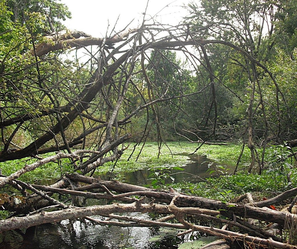
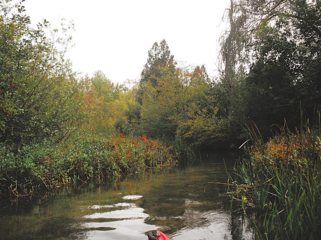
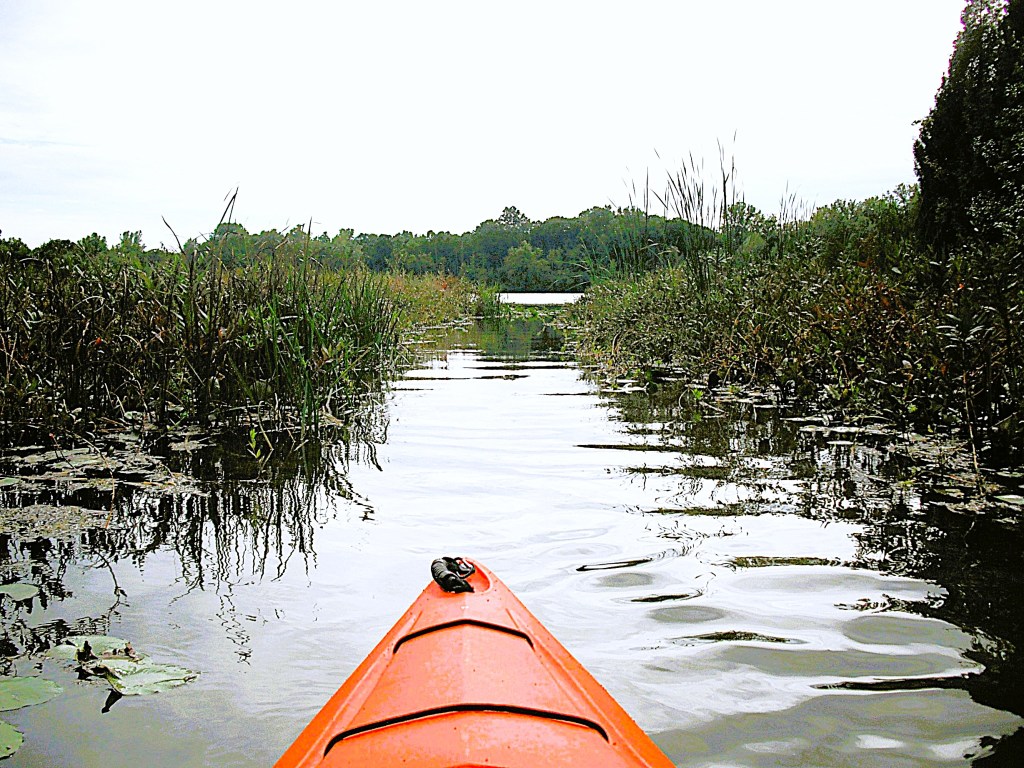
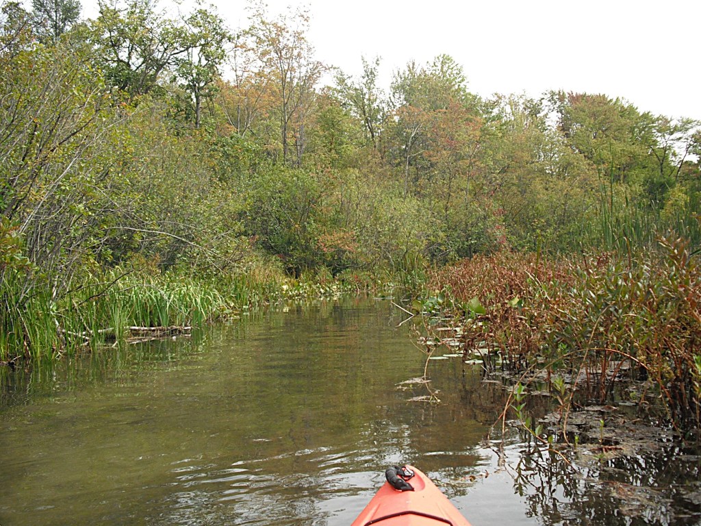
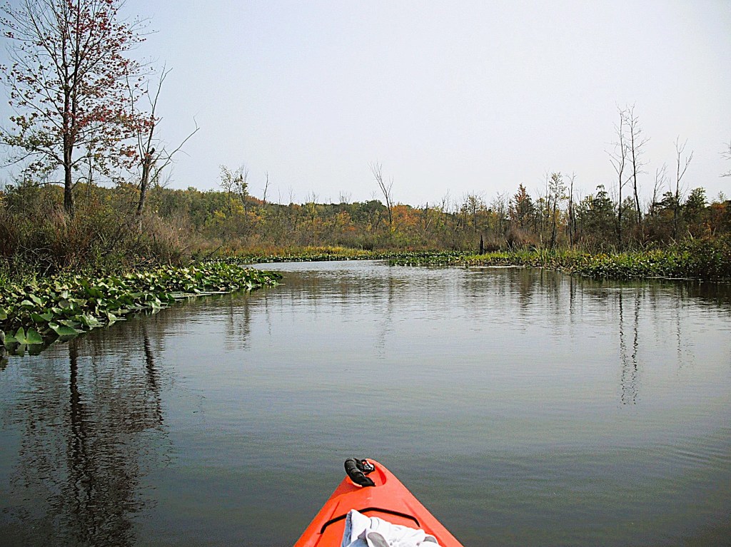
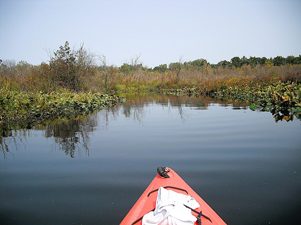
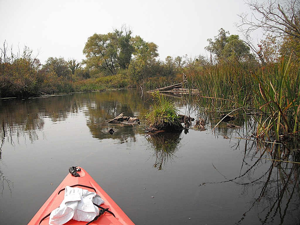
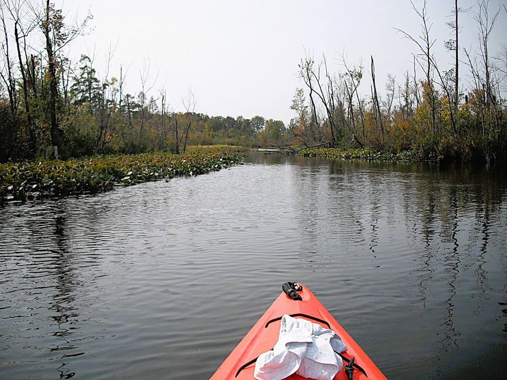
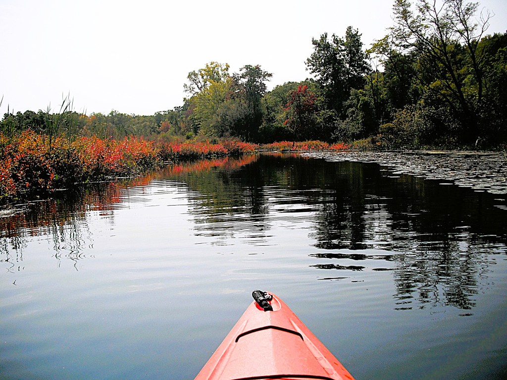
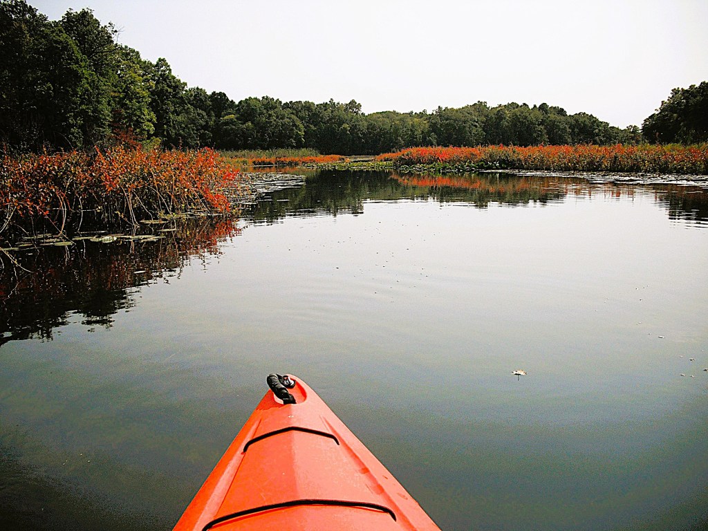
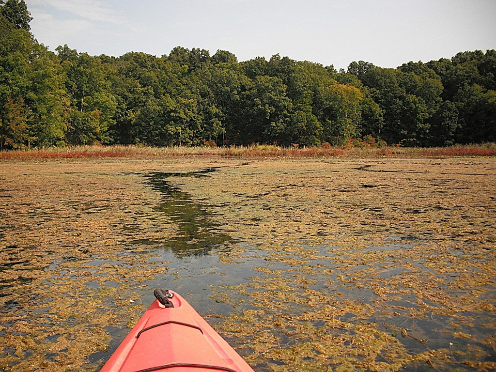
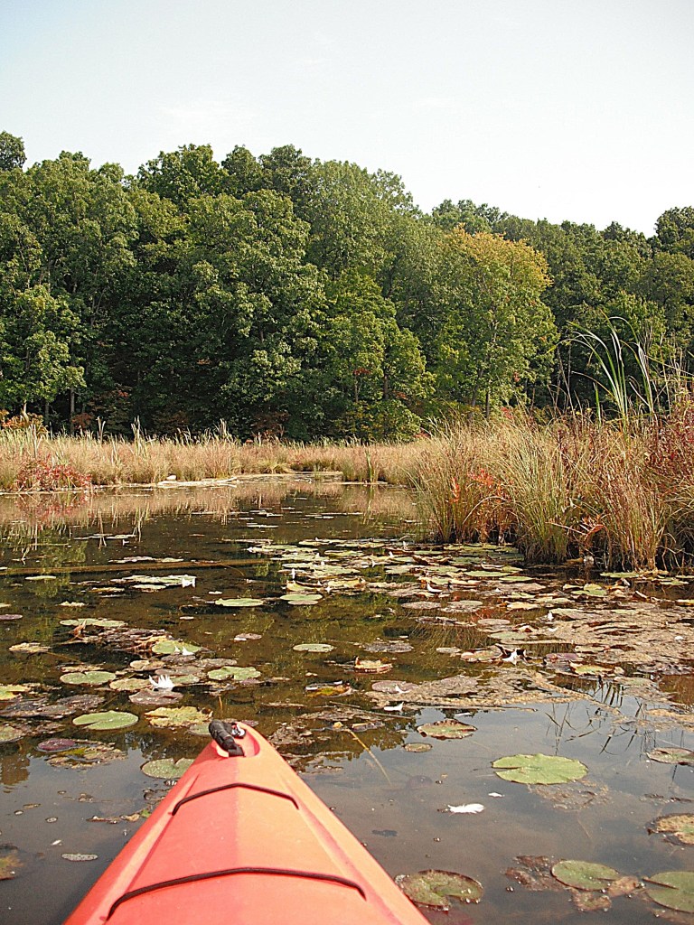
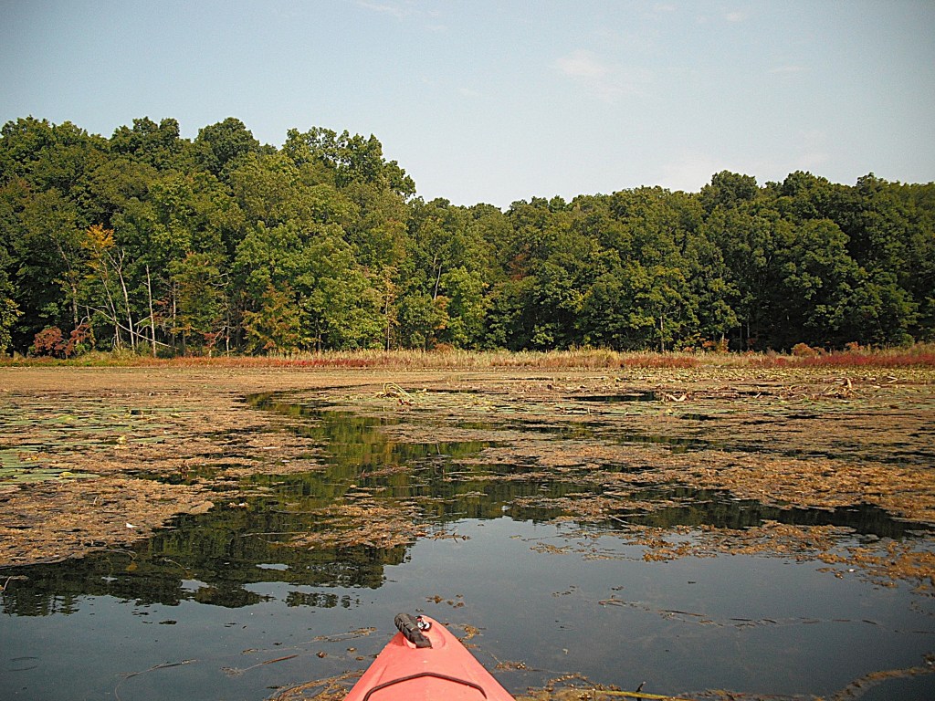
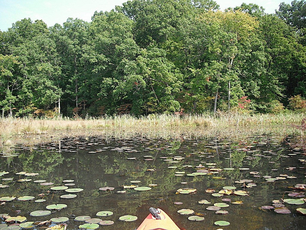
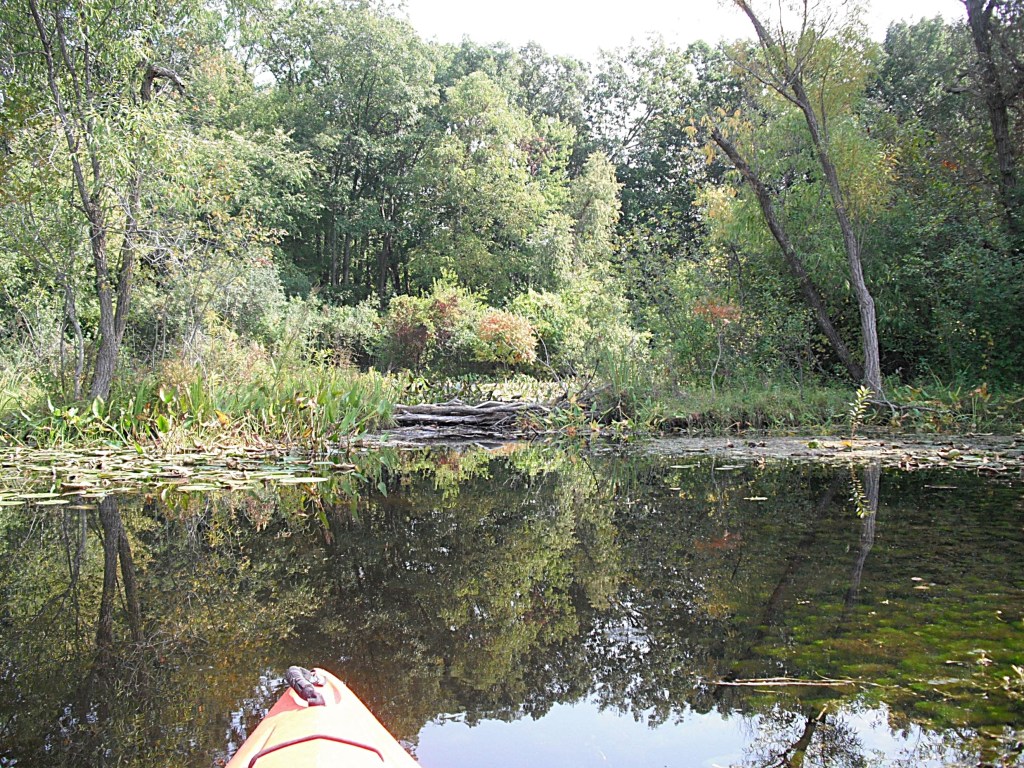
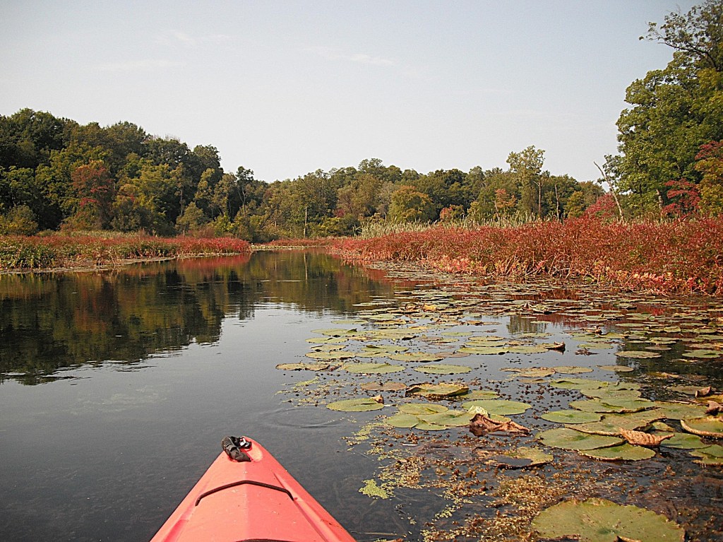
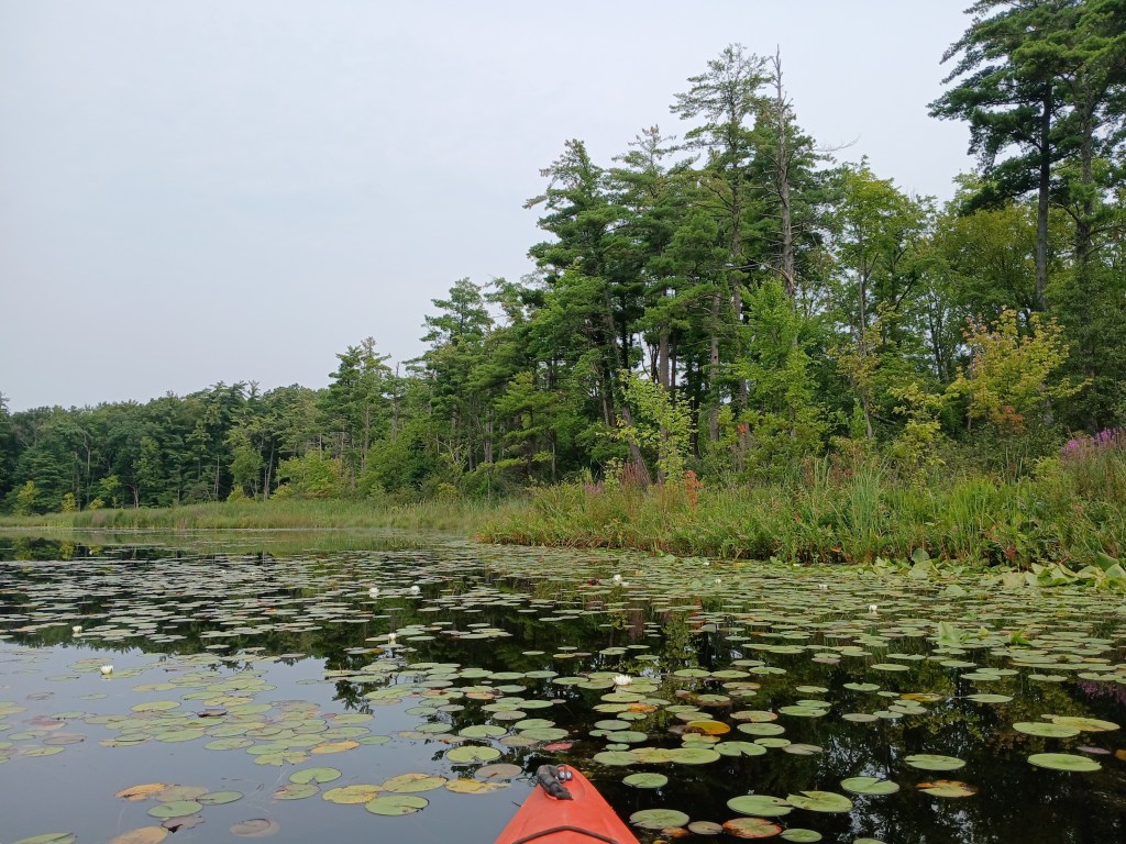
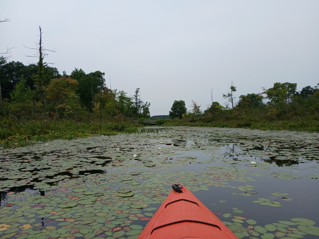
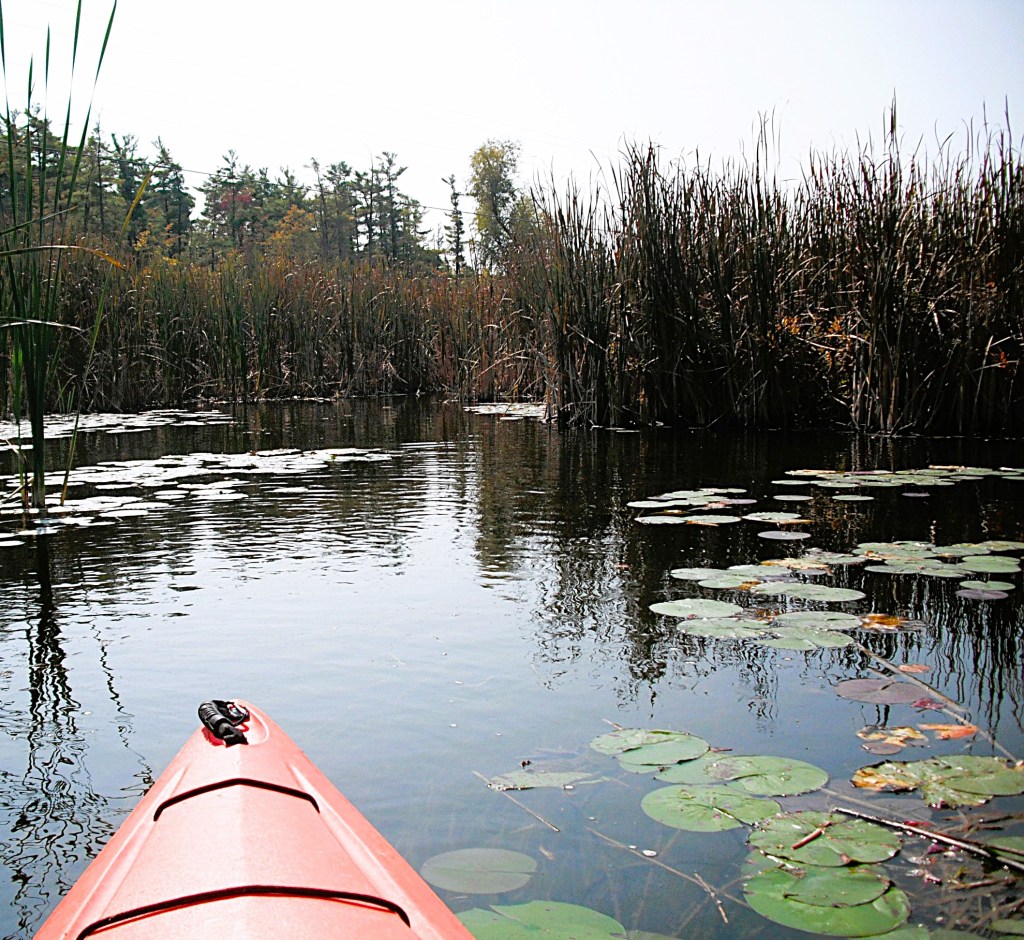
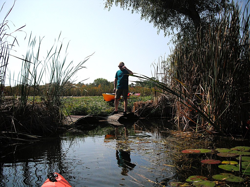
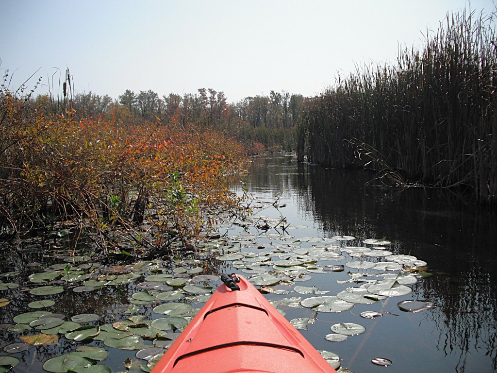
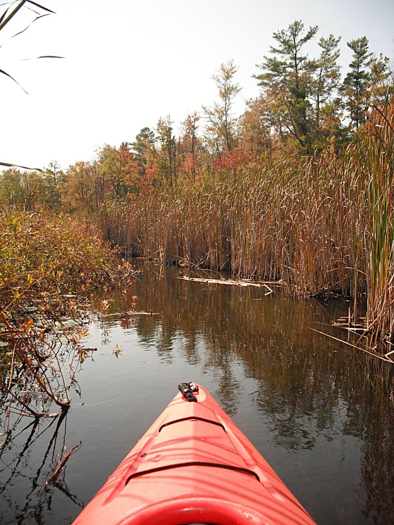
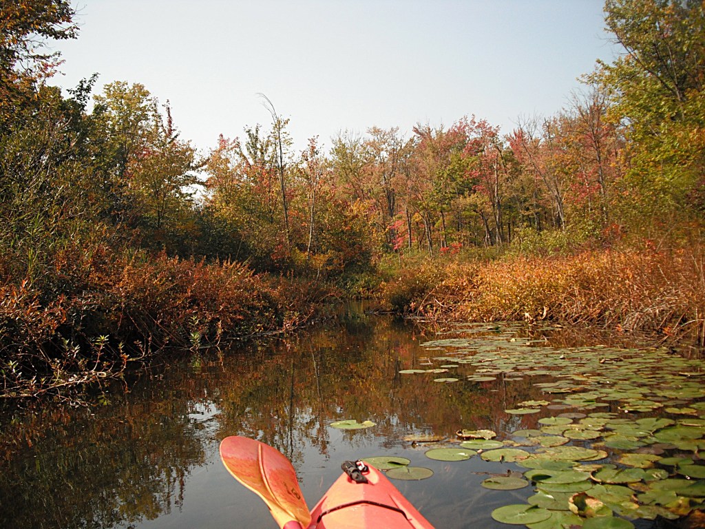
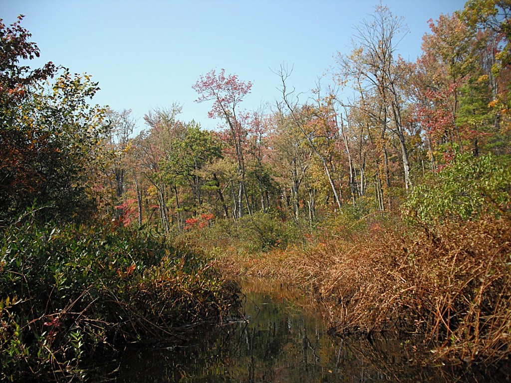
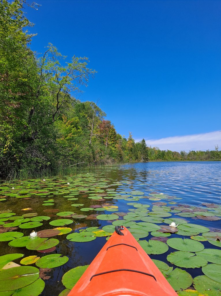
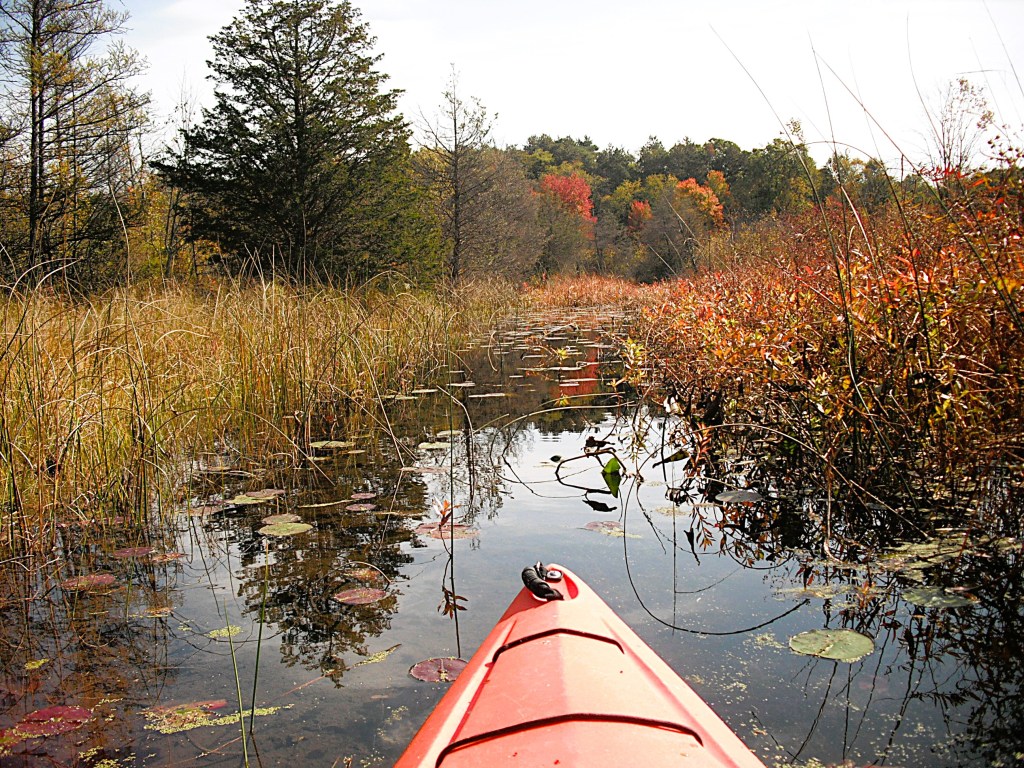
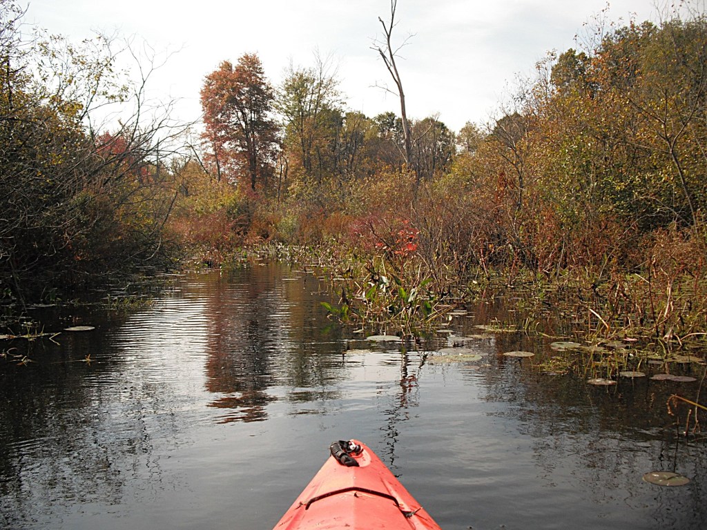
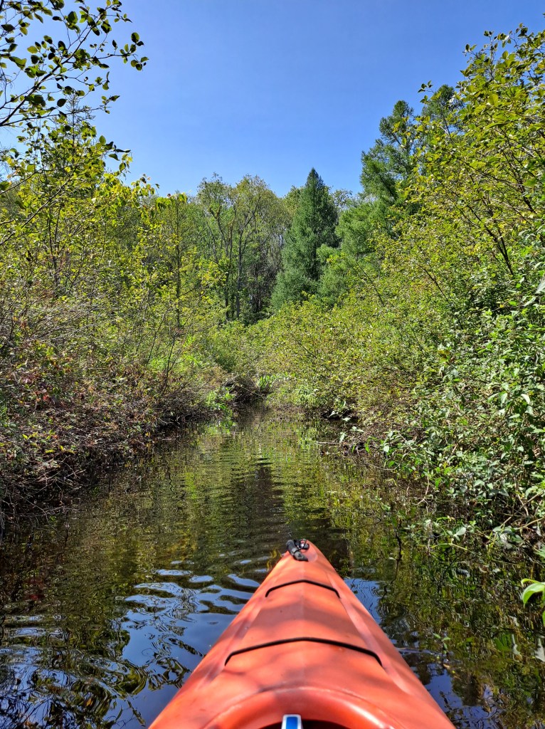
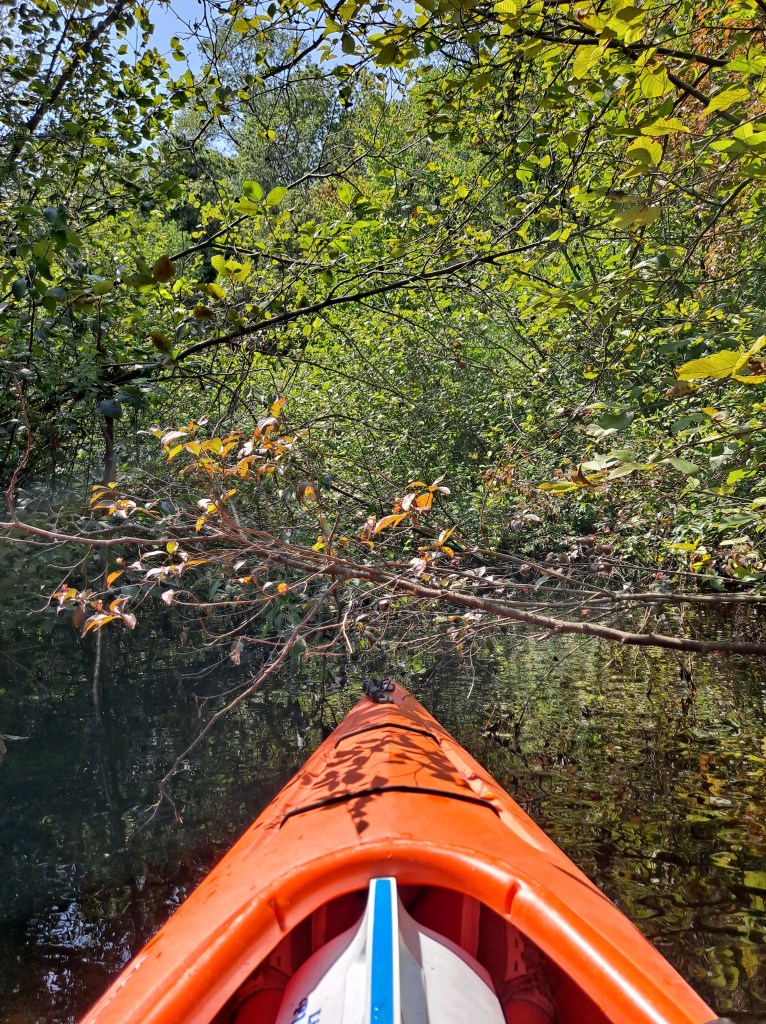
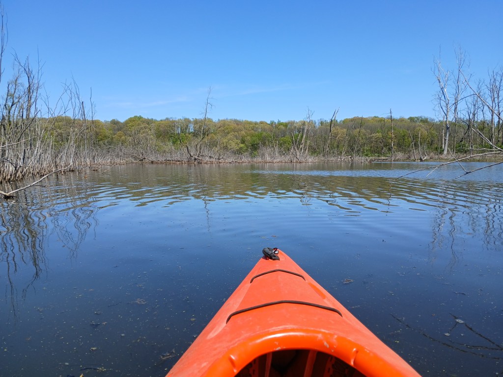
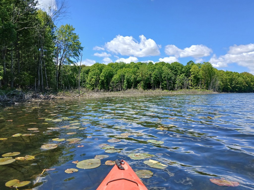
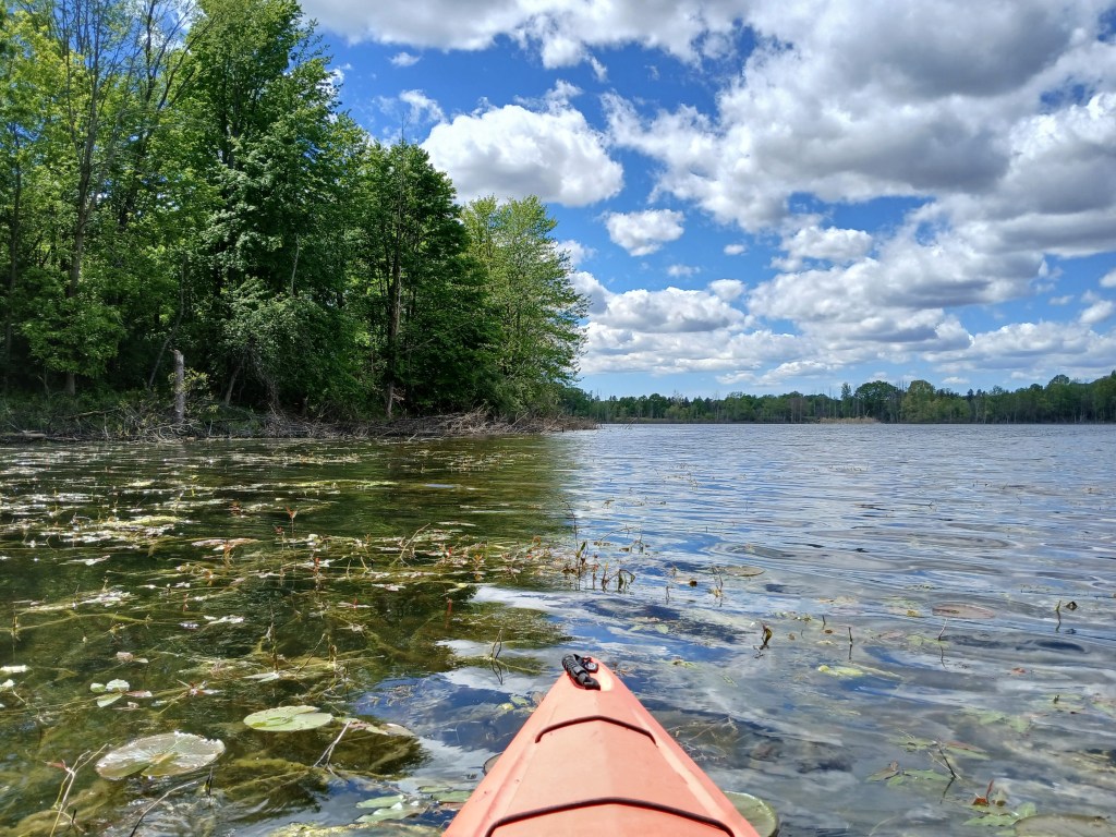
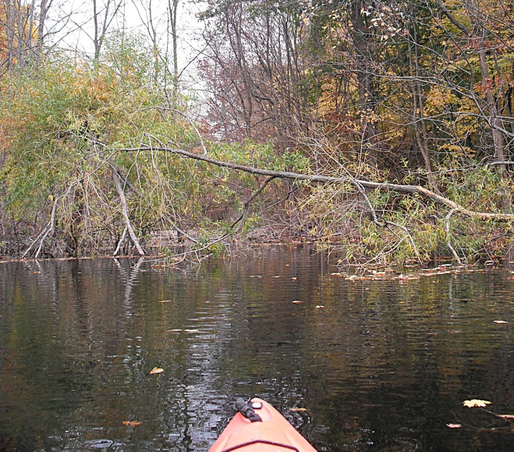
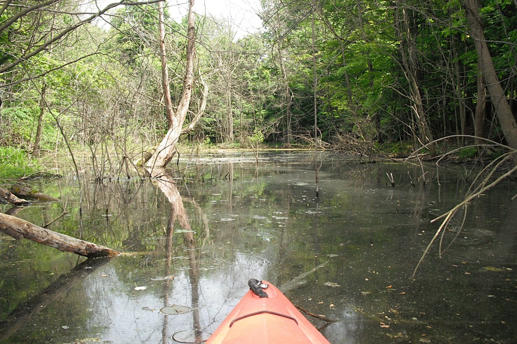
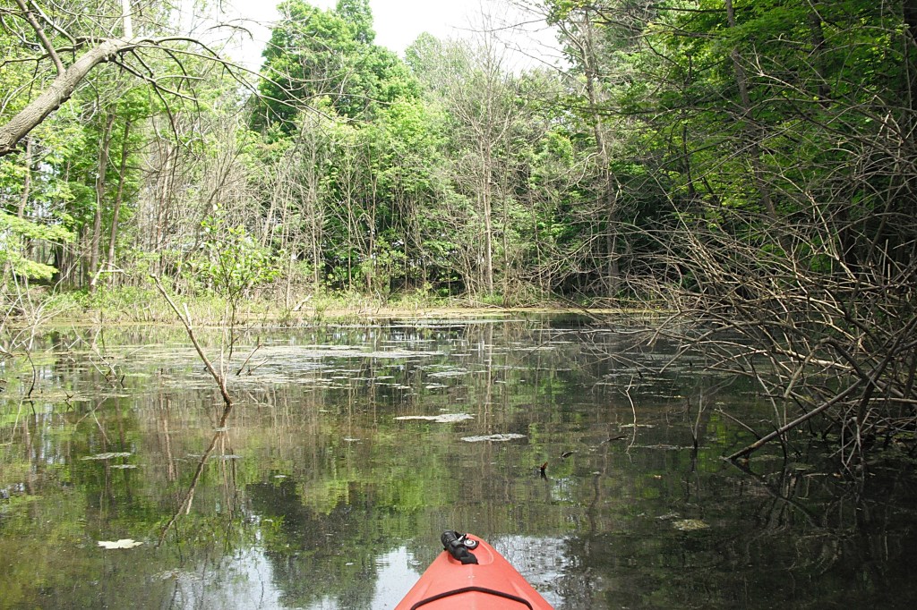
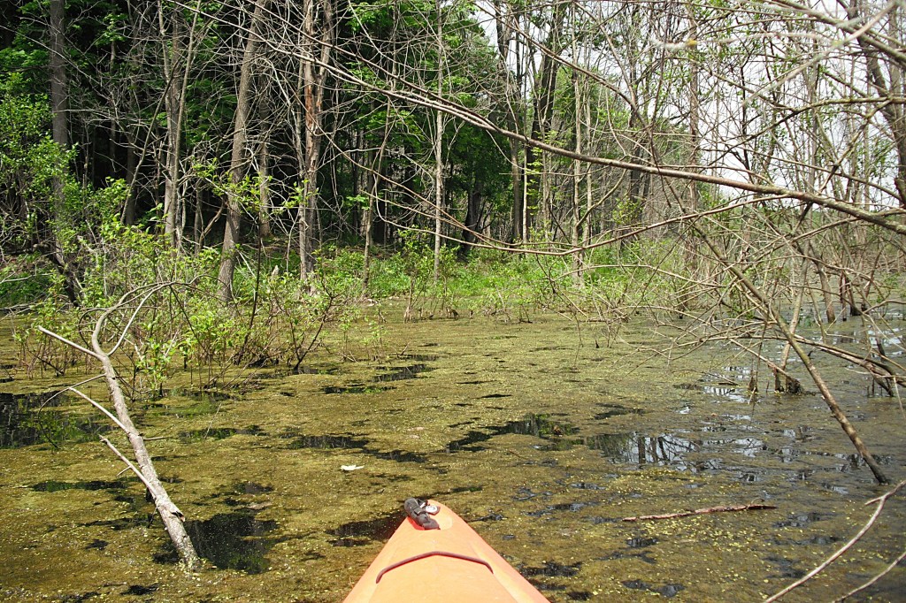
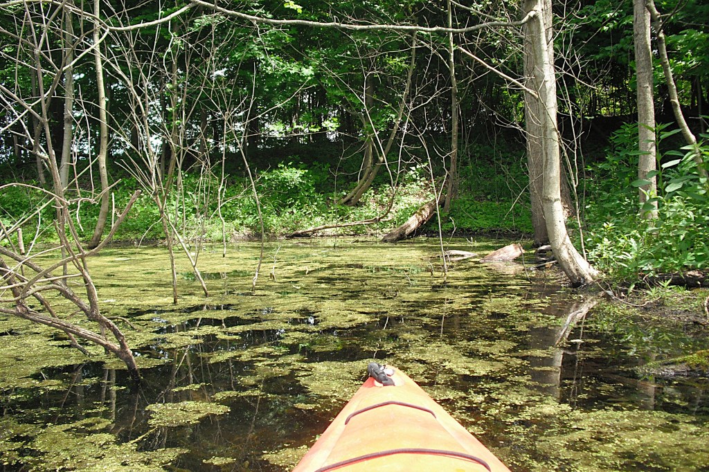
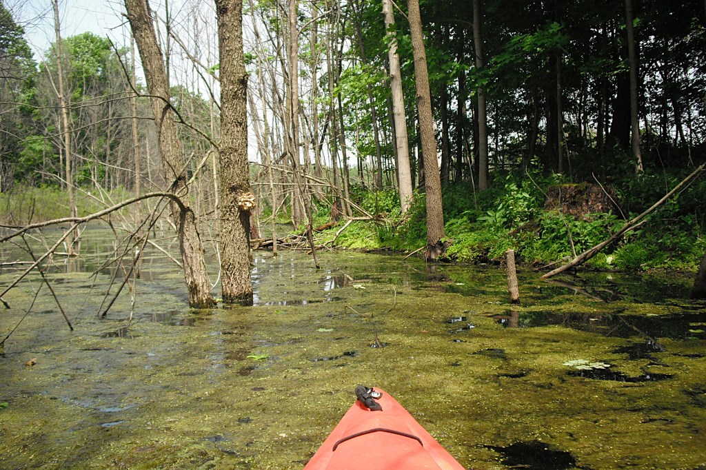
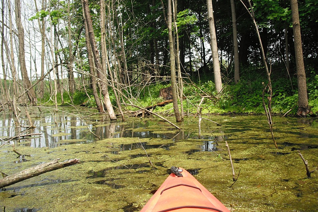
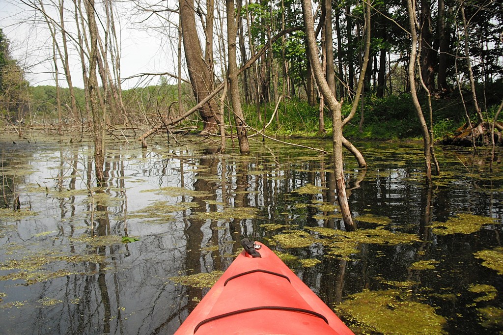
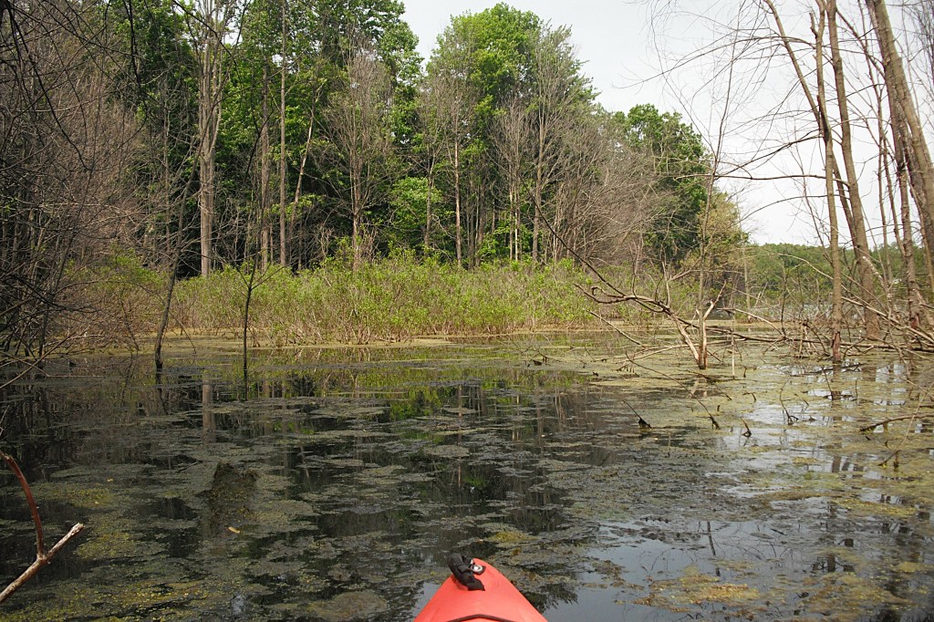
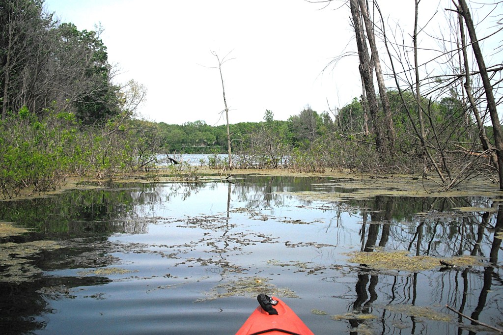
On the southeast corner, I paddled into a small flooded area of the forest. When water levels drop, this area is high and dry.
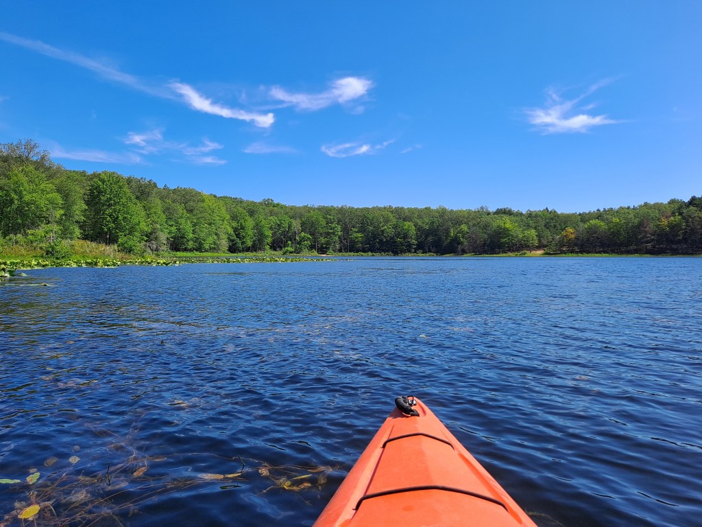
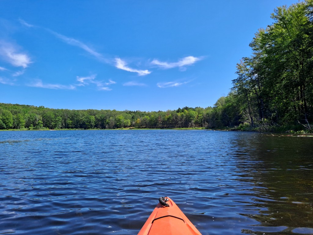
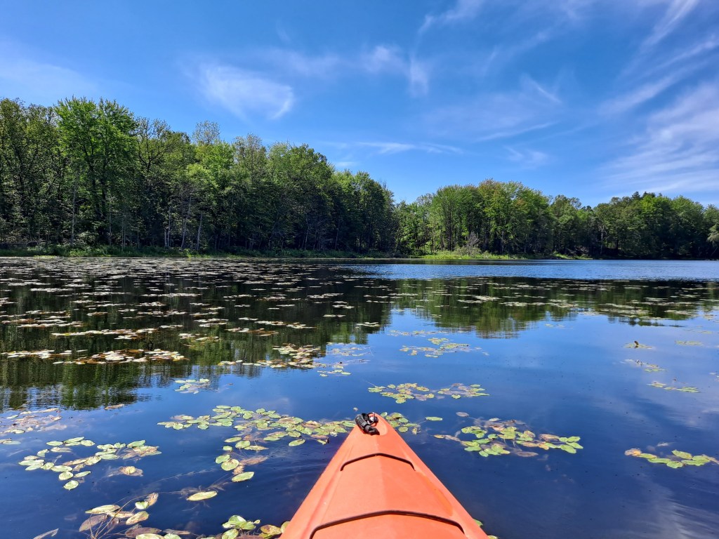
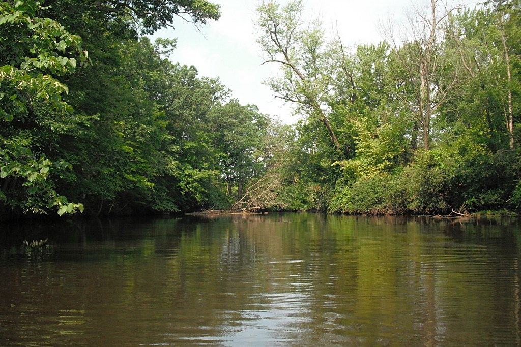
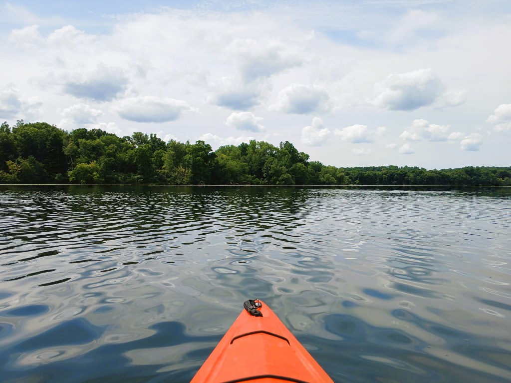
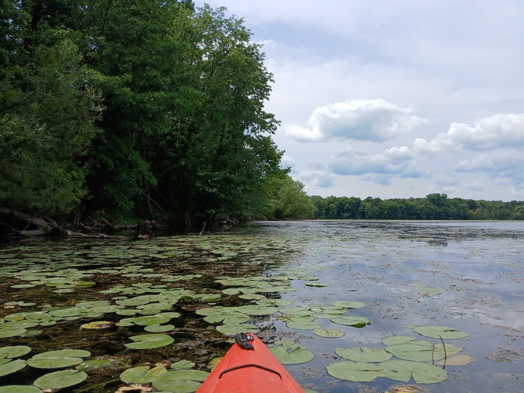
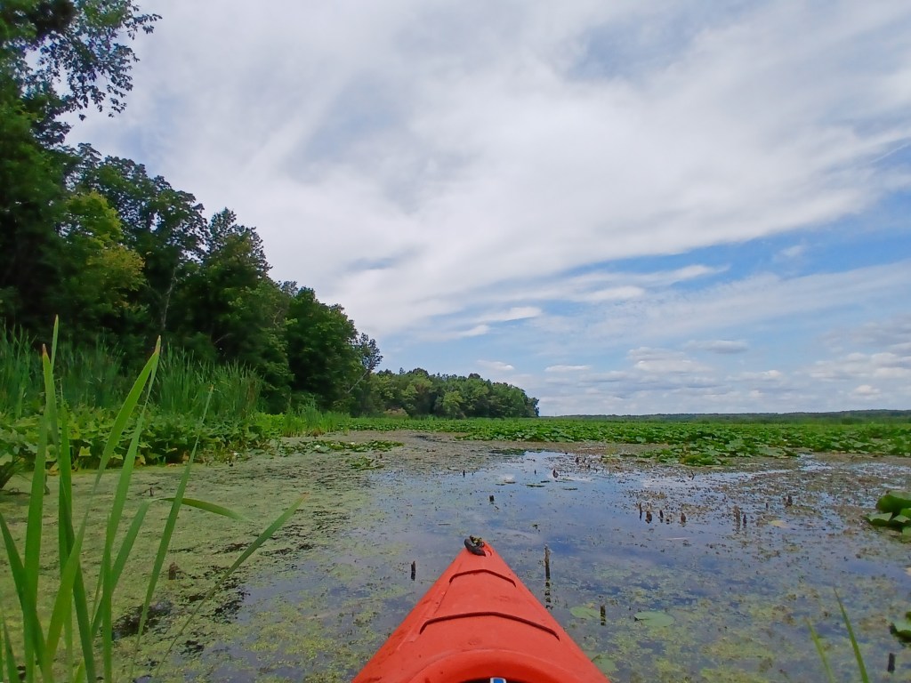
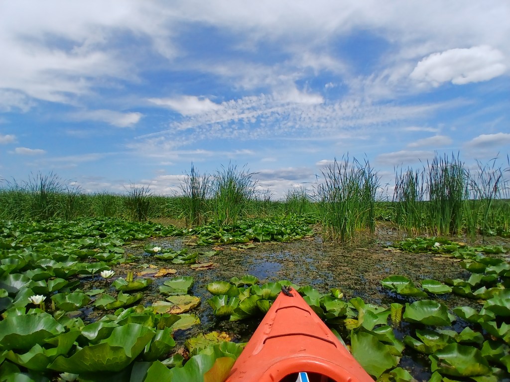
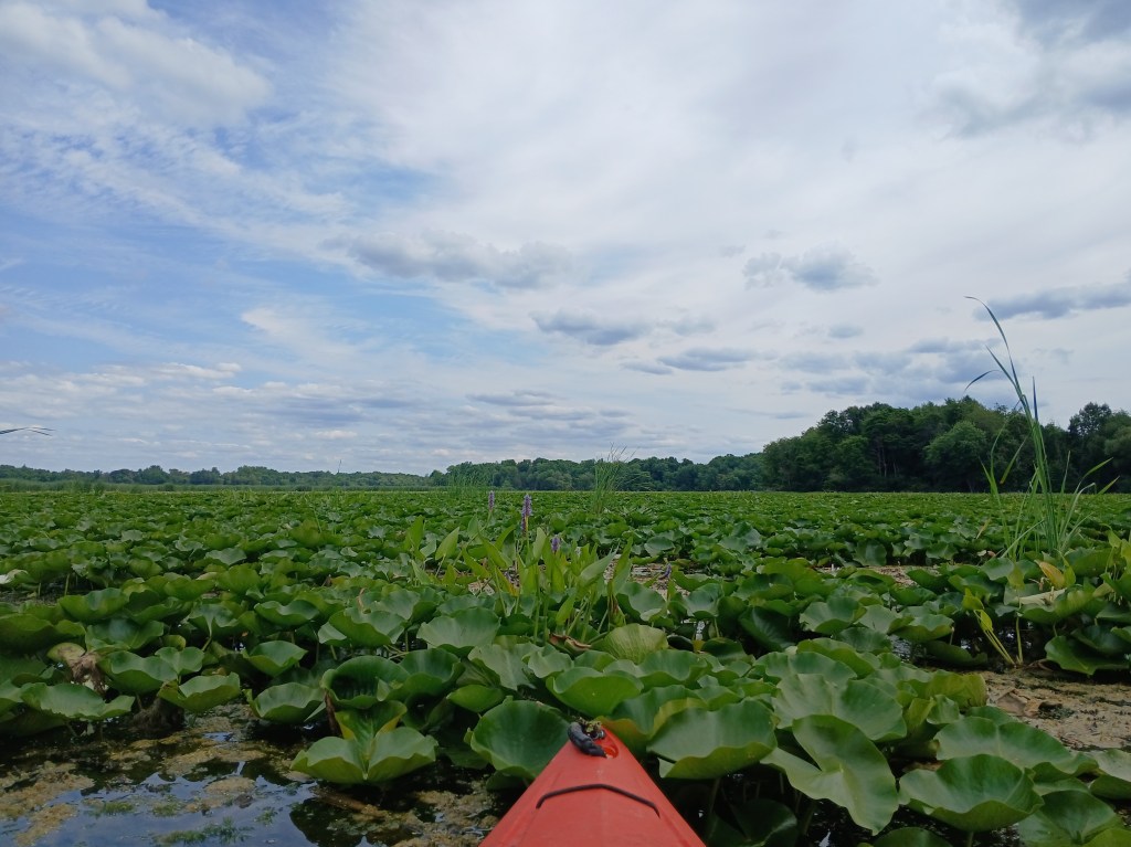
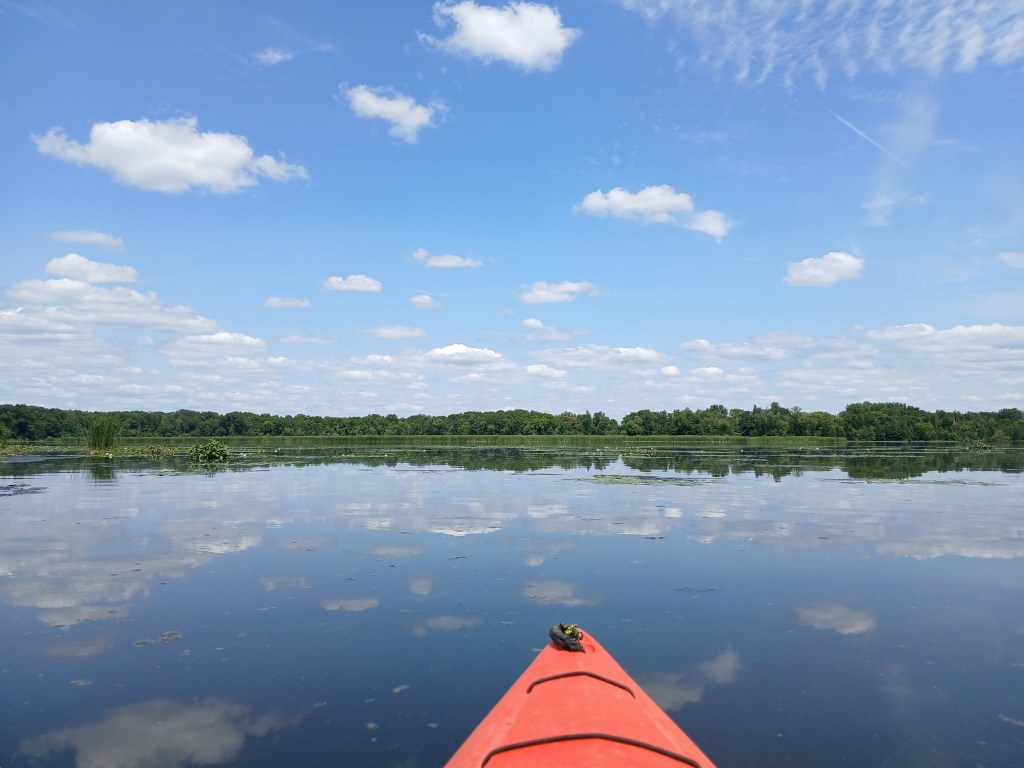
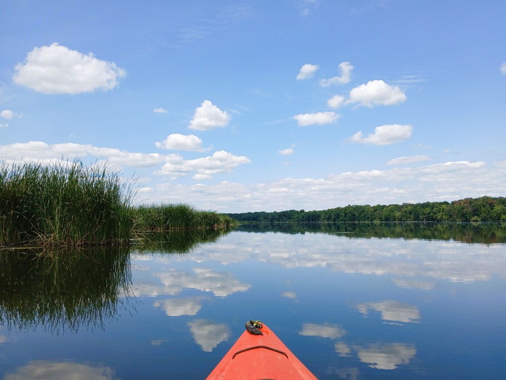
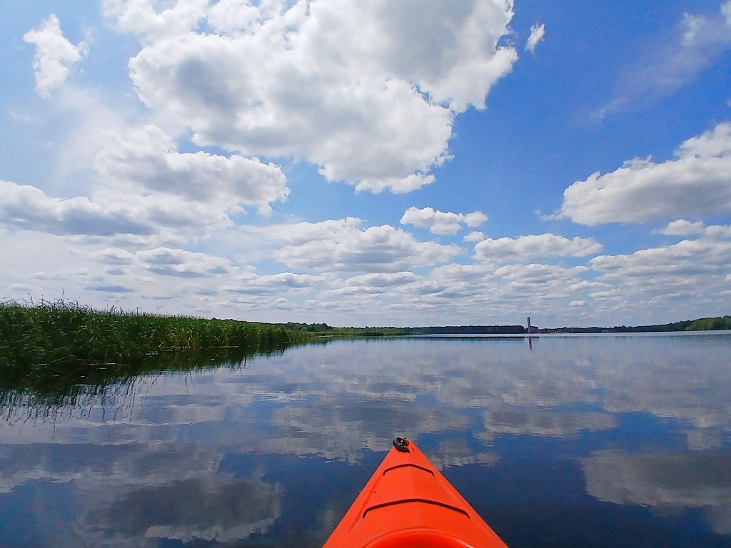
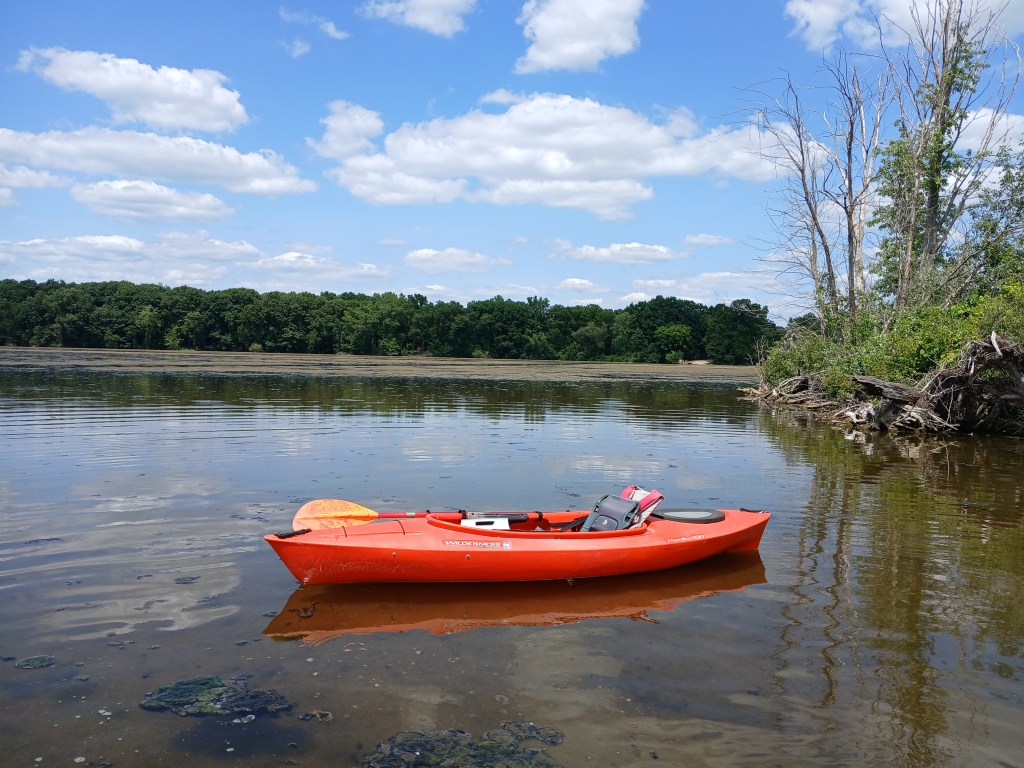
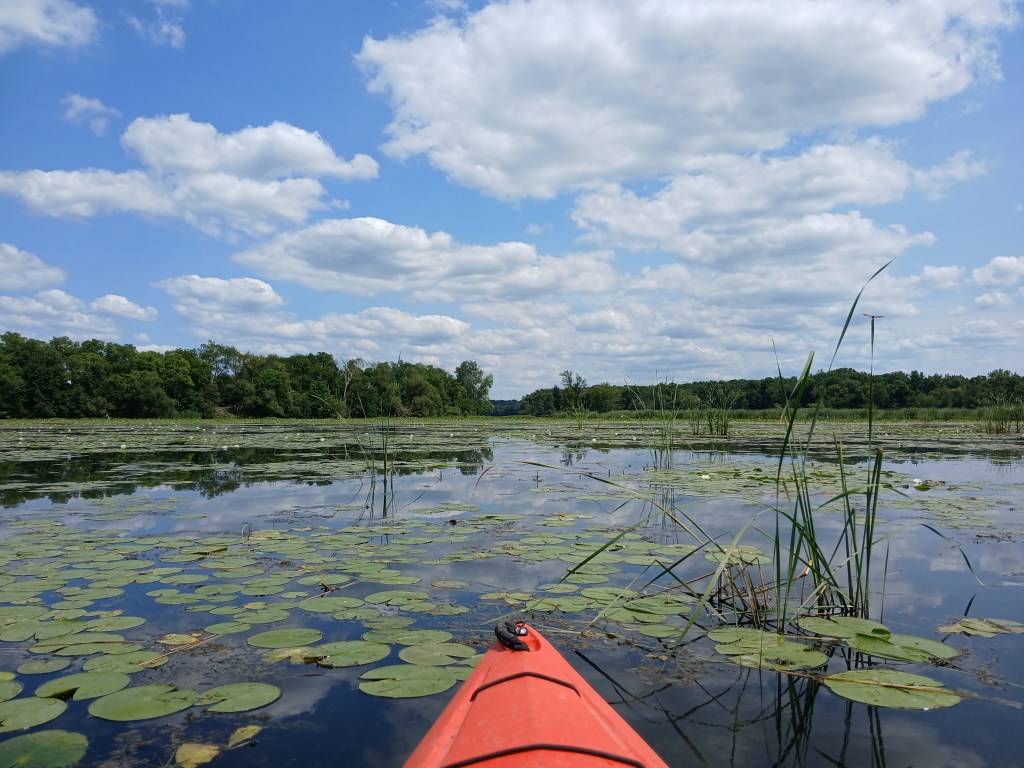
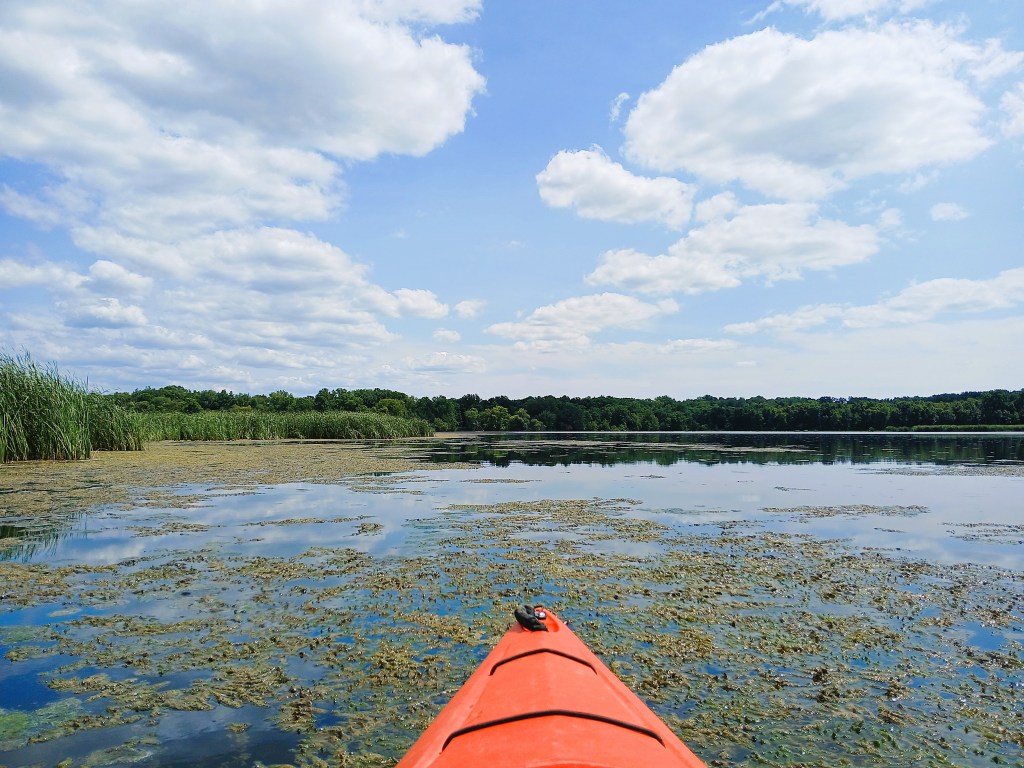
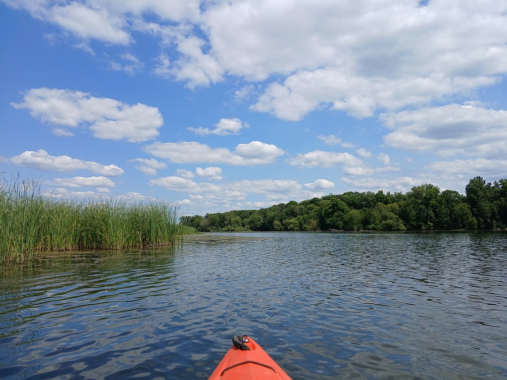
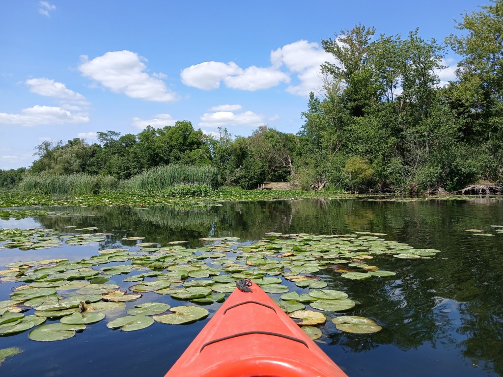
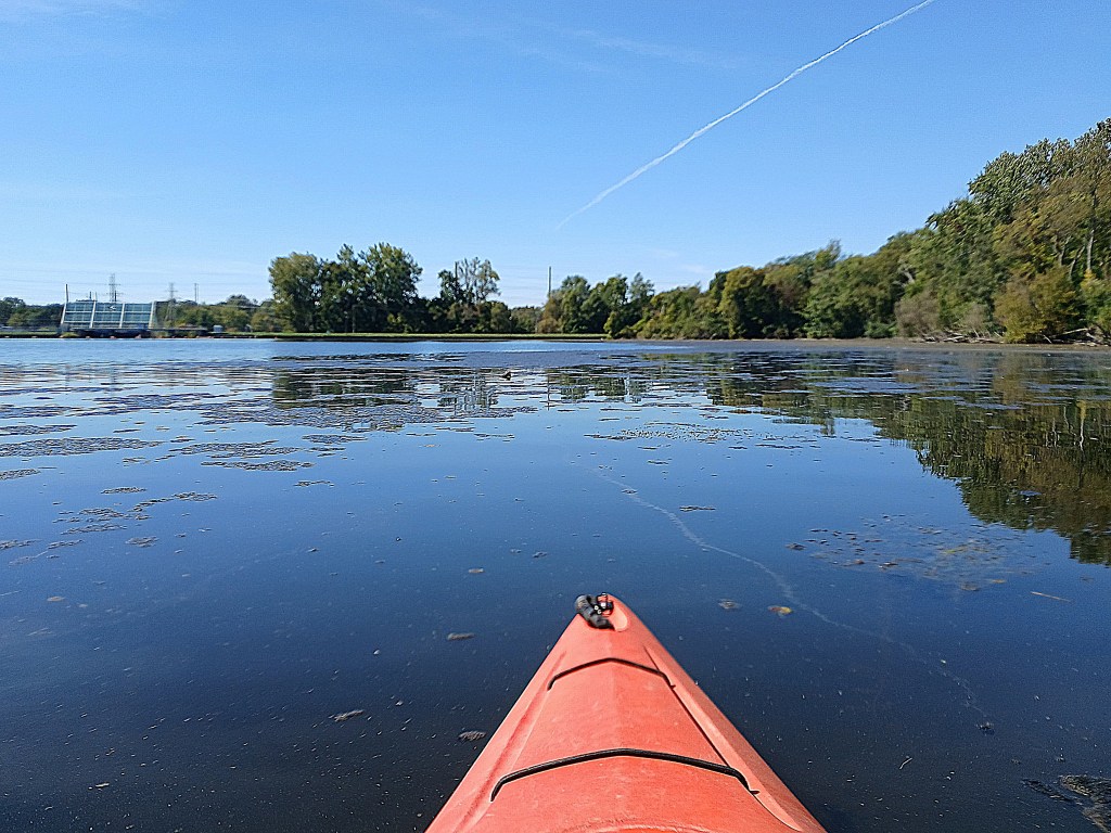
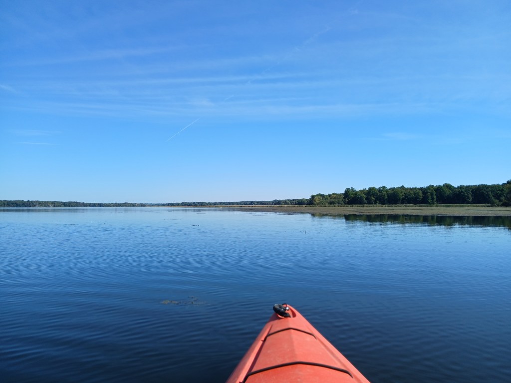
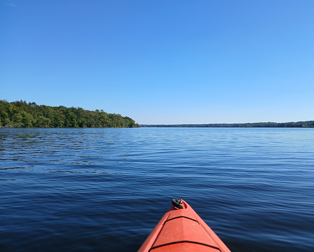
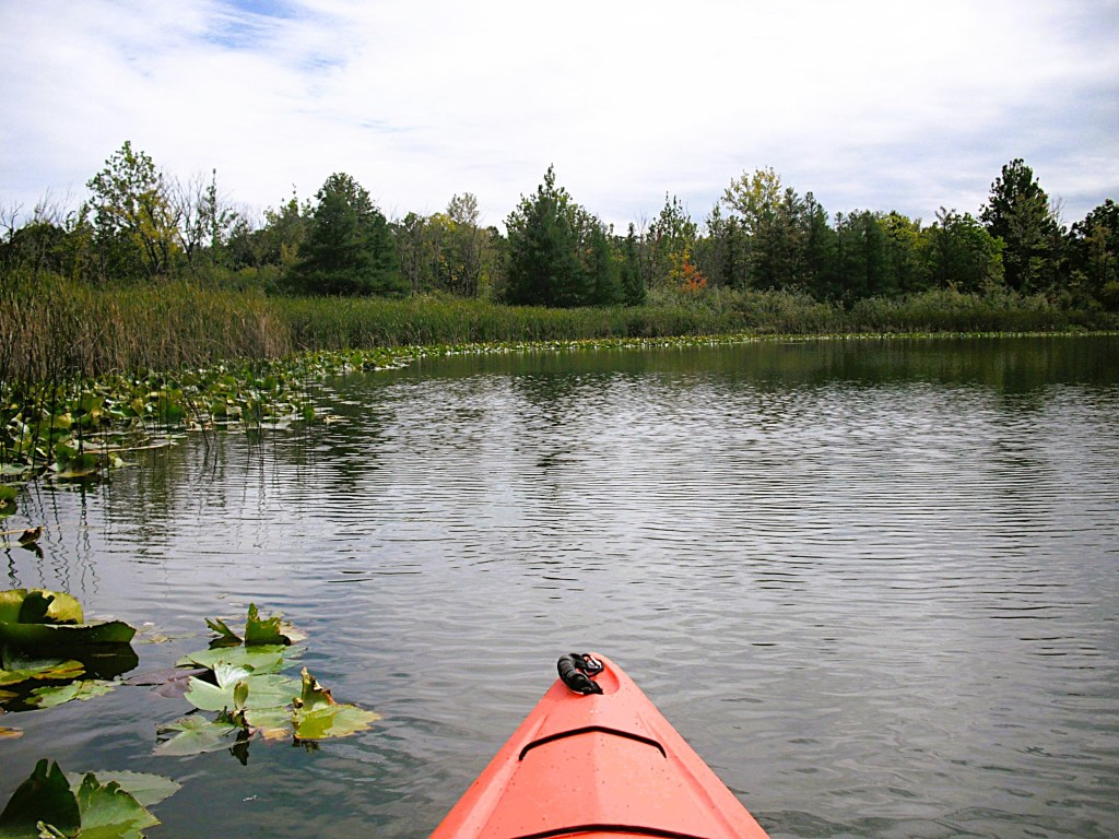
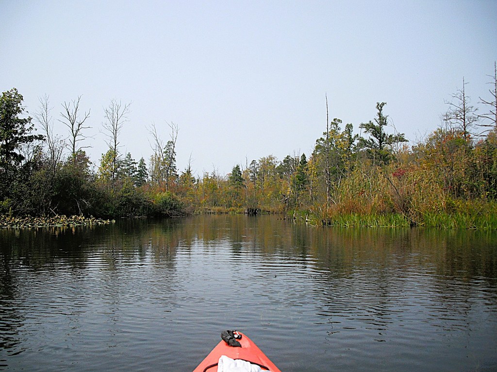
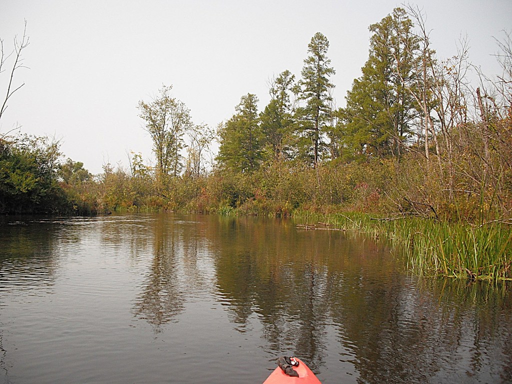
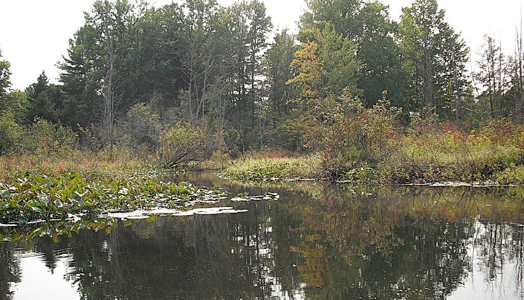
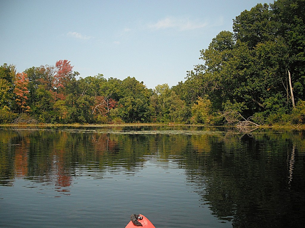
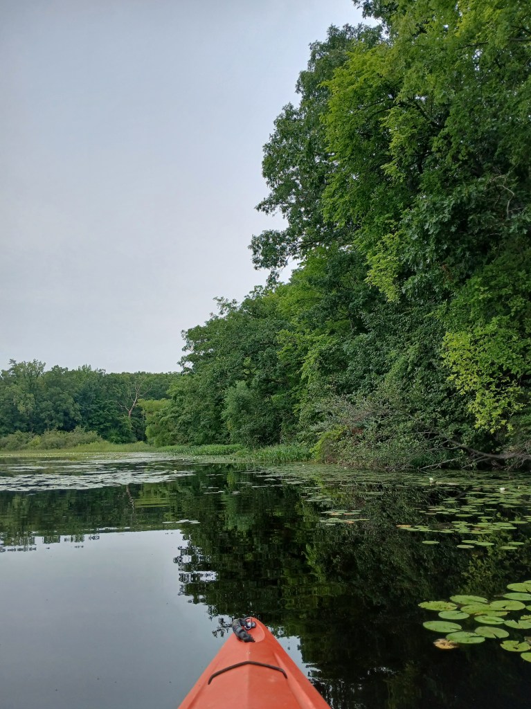
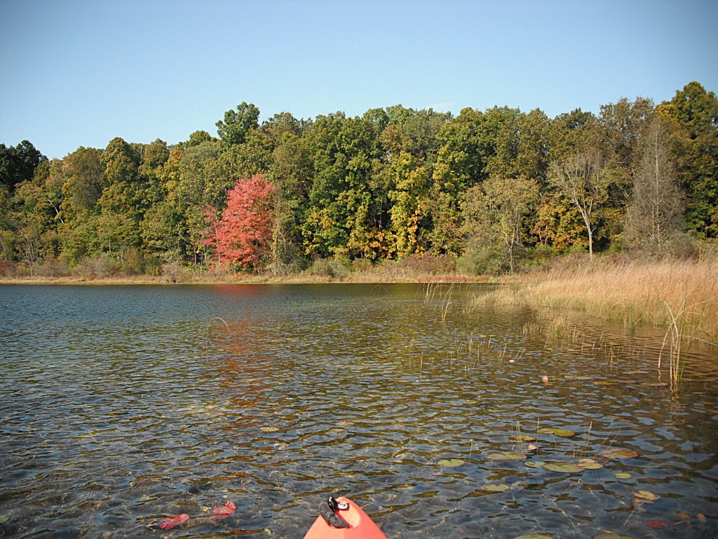
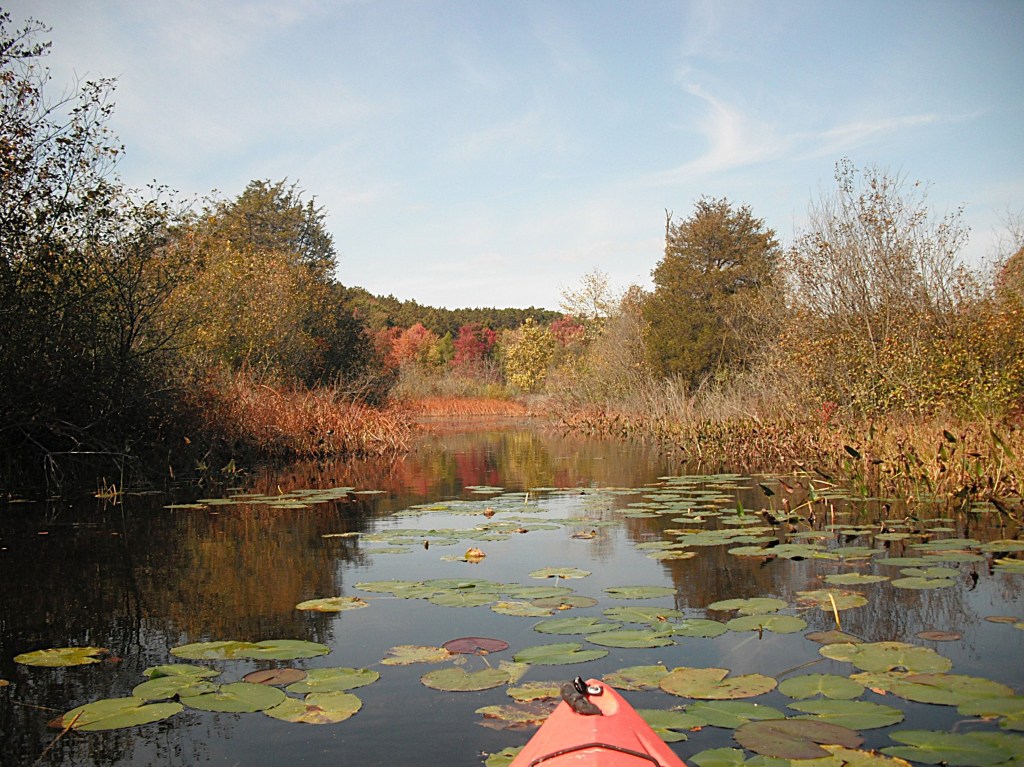
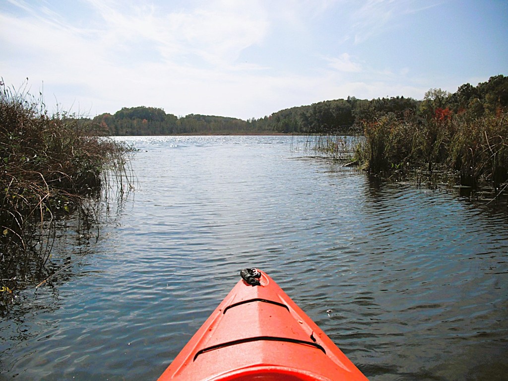
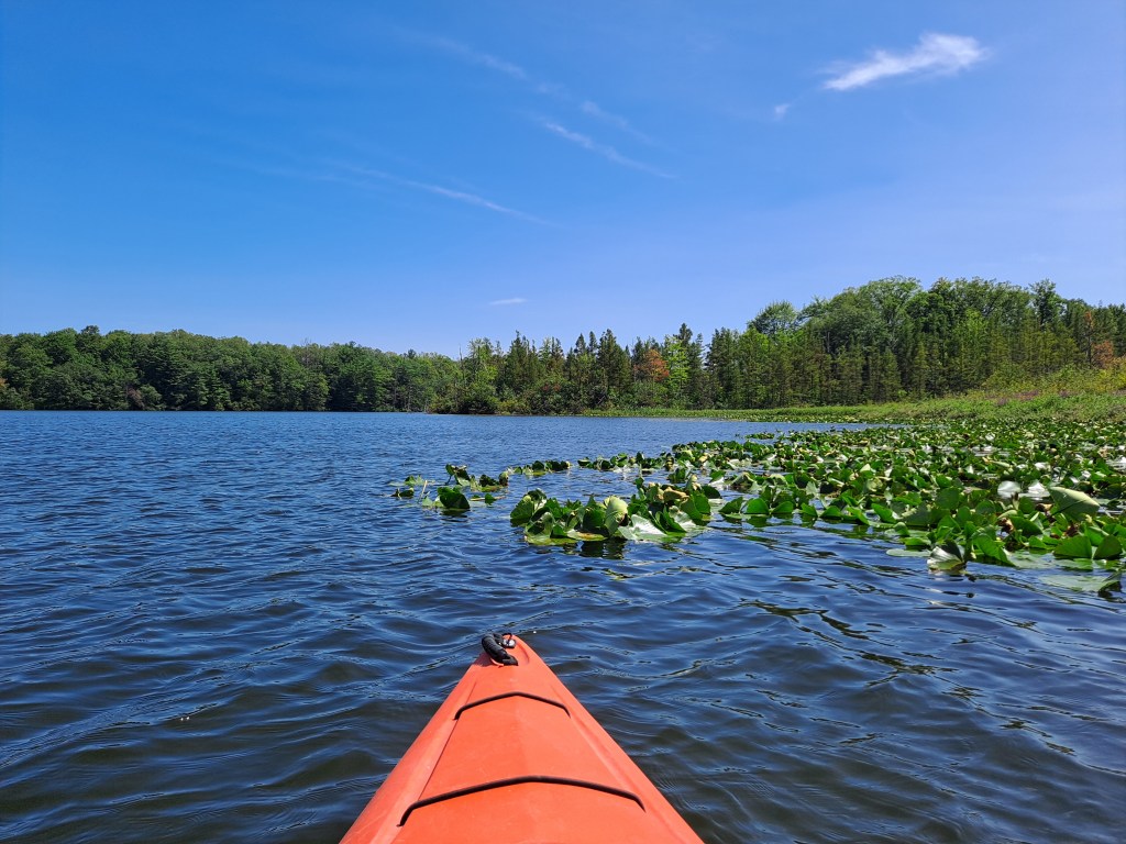
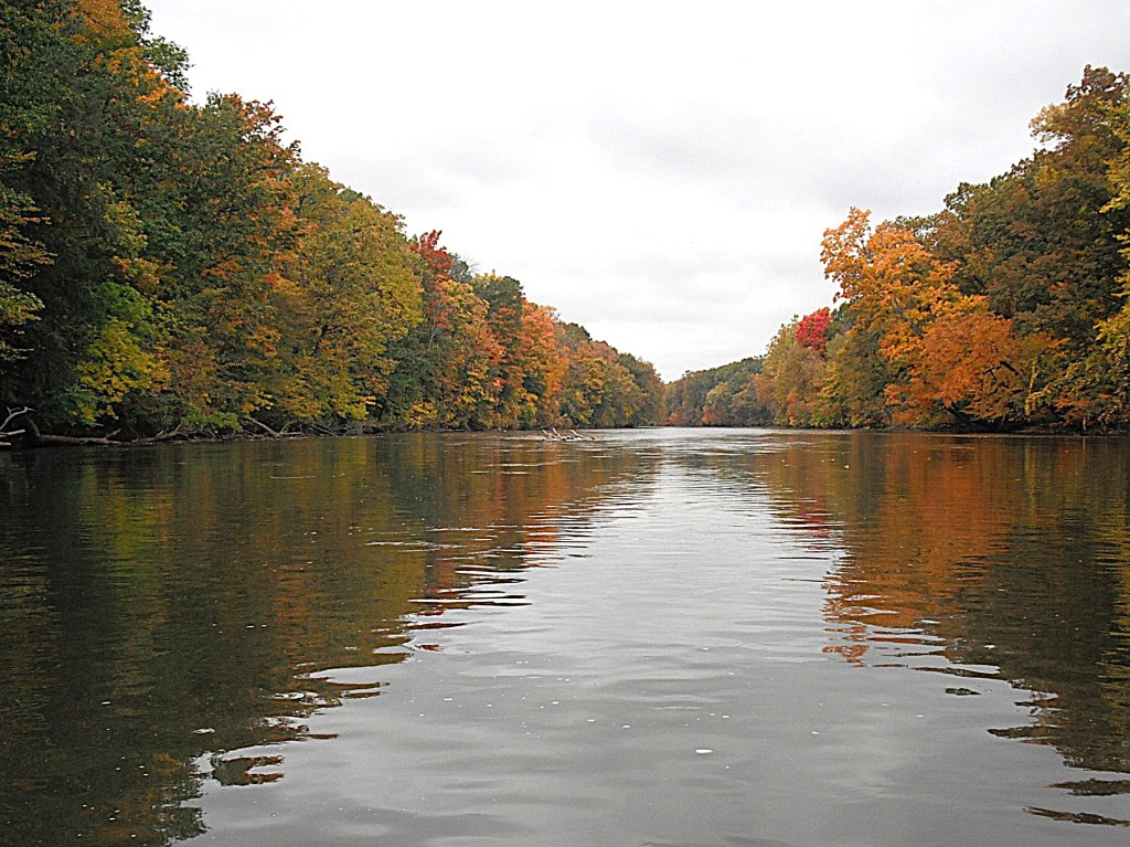
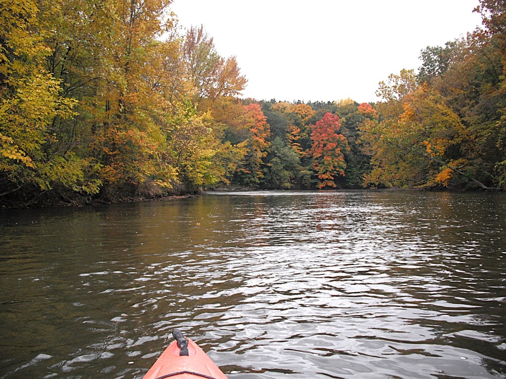
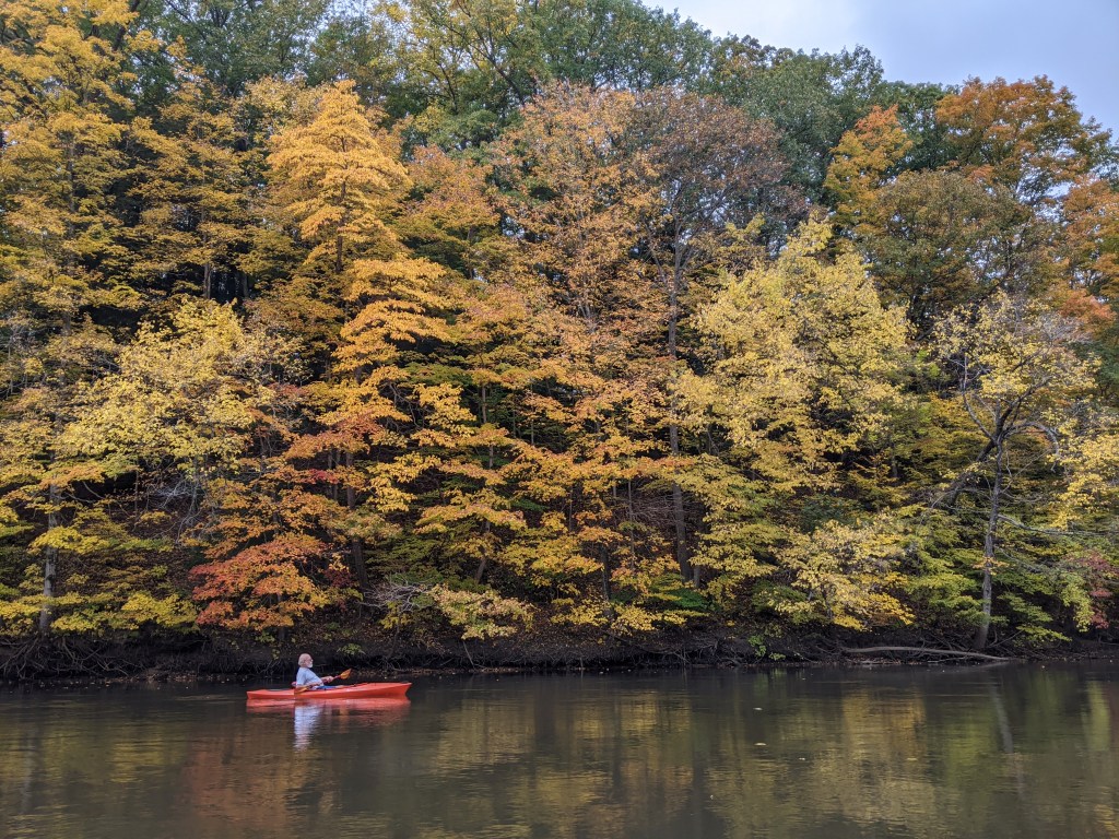
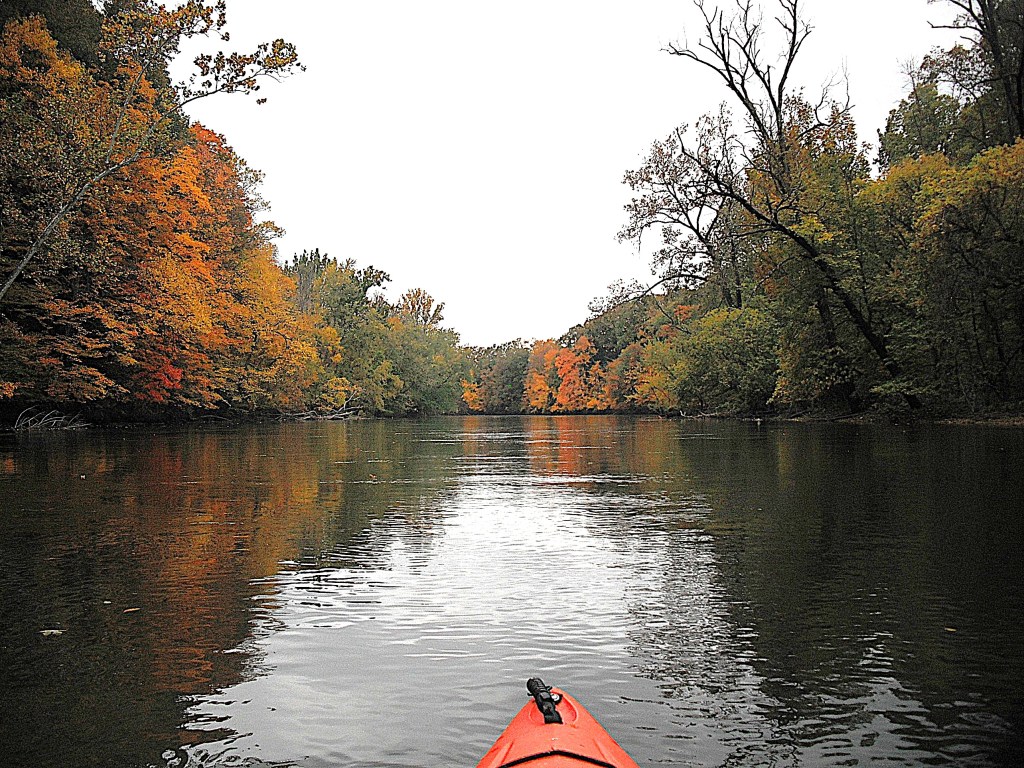
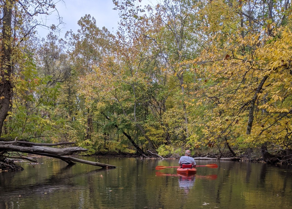
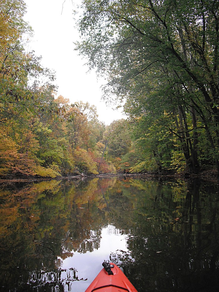
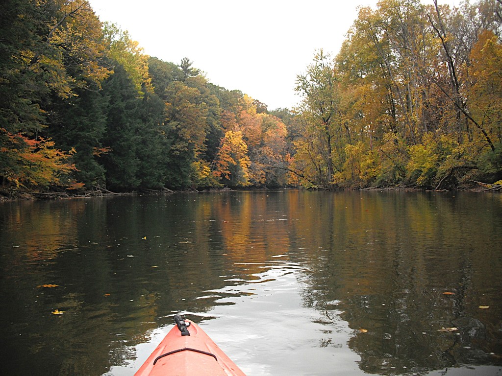
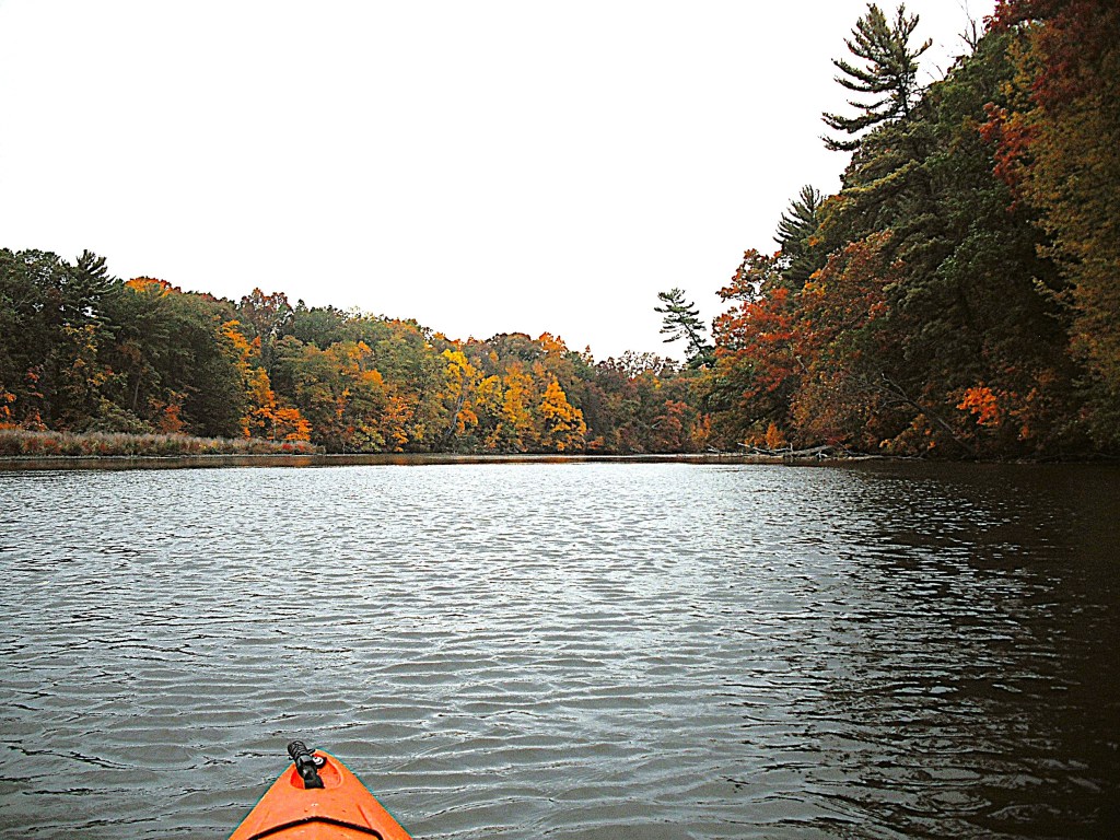
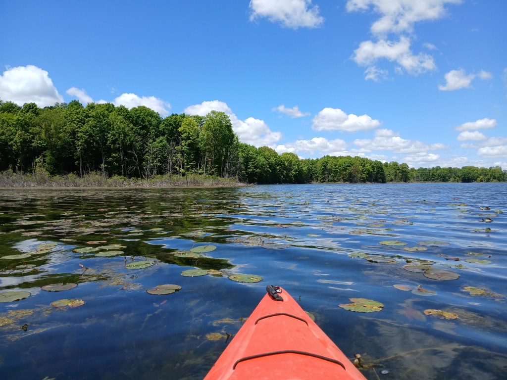
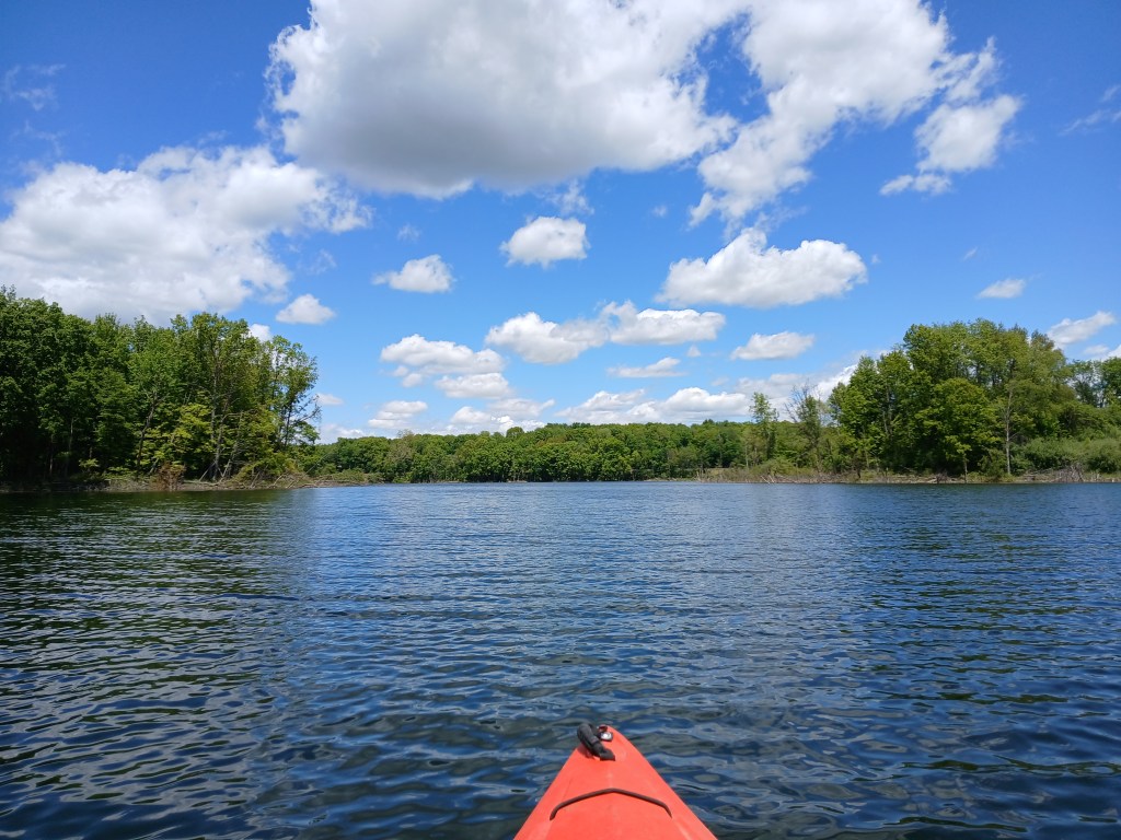
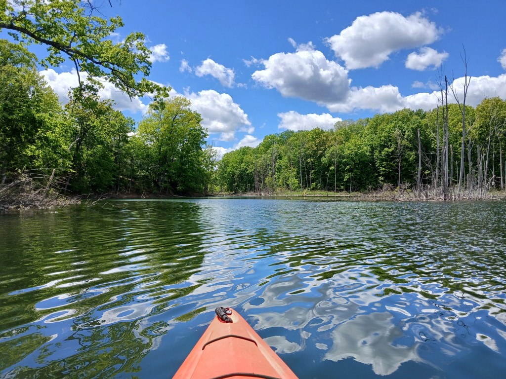
Dagget Lake may be small in size, but it is big on scenery.
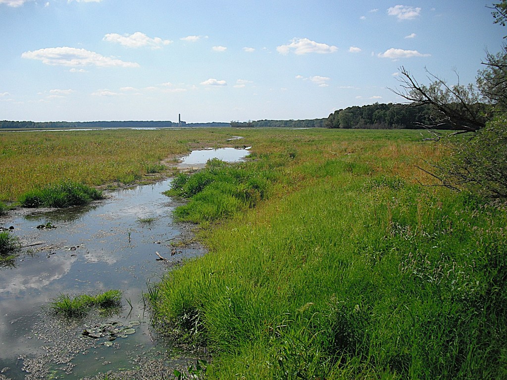
In November of 2019, Morrow Lake was drained for dam repair. The draw down was improperly done and tons of sediment were washed down the river, creating a environmental nightmare. The exposed lake bed was soon covered with vegetation.
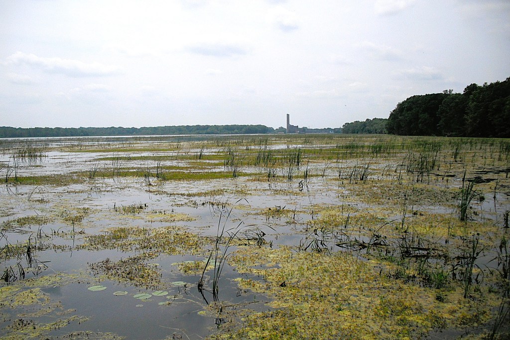
When the lake was filled in the spring of 2021, much of it was covered with aquatic vegetation.
By 2025, about half of the lake had recovered from the draw down. The other half of the lake is still choked with vegetation. The areas of the lake that are covered with vegetation were once open water.
This voyage begins by paddling the Kalamazoo River from Galesburg to Morrow Lake. Exploring Morrow Lake can be divided into two parts. The east end of the lake features many islands and channels. The west end of the lake is the main basin. In order to see everything that there is to see, I recommend making two separate trips. If you’re a fast paddler taking a direct route, then one trip will suffice. After reading this post, you’ll be able to formulate a plan that is best for you.
Let’s get to the start of the trip! Galesburg Community Park is located behind Galesburg City Hall on Michigan Avenue. The Kalamazoo River boat landing is at the south end of the park, at the end of a gravel road.
The river winds its way toward Morrow Lake at a moderate pace. The river corridor is wooded and there are only a few homes on the river bank.
There are two islands on this stretch of the Kalamazoo. The first one is so small that if you blink, you’ll miss it.
The second one is quite large and the river channels are navigable on both sides of the island.
The south channel around the island.
Past the islands, the river travels under the 35th Street bridge. Downstream from the bridge, the river enters the delta region of Morrow Lake. The main river channel runs west through the north side of the delta to the main basin of the lake.
The many islands of the delta area are south of the main channel. The delta is a little over a mile long and is about a quarter mile wide. When exploring the channels around the islands, be mindful of shallow water. I ran aground several times.
There are three small islands that mark the end of the delta and the beginning of the main basin. One island is next to the north shore at the River Oaks County Park boat ramp. The other two islands are next to each other and next to the south shore. The channel between the north island and the two south islands is about two hundred yards wide. The channels around the two south islands are covered with vegetation.
Approaching the channel between the north island and the two south islands.
I paddled around the two south islands. It looks like solid ground, but there was just enough water to float my kayak. These two photos were taken quite a few years ago. Now, this water trail may be too overgrown to paddle:
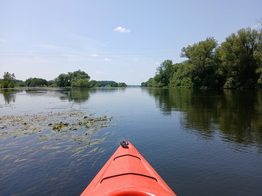
This view is looking east from the main basin toward the channel.
The trip ends at either of two boat landings. The River Oaks County Park lake access is on the north shore at the east end of the main basin. The boat ramp is hidden from view by a small island. This is the north island that was mentioned earlier.
The MDNR lake access is farther west, on the north shore. The boat ramp is straight north from Rowe Island, the only island on the main basin.
If you’re interested in a trip without vehicle spotting, launch your kayak at River Oaks, head east and explore the delta, and return to River Oaks. I have used this option a few times myself.
The entrance to River Oaks is on the south side of Highway M96, just west of Galesburg. Follow the park signs to the boat landing.
For the MDNR landing, head south on Rosemont Road from Highway M96, about halfway between Comstock and Galesburg. The boat ramp is at the end of the road, on Plaza Avenue.
MORROW LAKE MAIN BASIN
I’ve never paddled the shoreline of the main basin, so I revisited Morrow Lake in July of 2026 for further exploration. I recount my trip to give you an honest picture of what you can expect when you visit the main basin. Kayakers may not like paddling the lake during summer because of the vegetation. Early spring or late fall may be a better option. You may like a different itinerary than the one that I chose.
I used the River Oaks County Park boat landing. Modern restrooms and secure parking made it a good choice.
I began my voyage by paddling south to the opposite shore.
I followed the shoreline as it curved to the west.
On the south side of some lakes, shade along the shoreline prevents aquatic vegetation from growing. This leaves a narrow pathway for kayakers to follow. I was hoping that this would be the case on Morrow Lake and it was.
I wanted to follow the south shore all the way to the west end of the lake. However, after a while, the water trail gradually began to disappear.
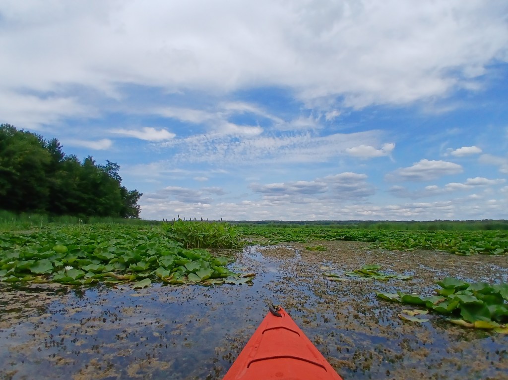
Eventually, my progress was stopped by a thick field of cattails, lily pads, and other vegetation. Exploring doesn’t always have the desired outcome.
I reluctantly turned around and retreated. I tried to take a shortcut across the mouth of a bay, but I was stopped short of my goal by thick vegetation. If you’ve never paddled through thick stuff like this, don’t try. It’s not worth it.
I returned to the shoreline and continued east, then northeast. Finally, I reached open water.
I paddled west along the north side of the cattails. The immense area of the cattail bed seemed to take up the south quarter of the main basin.
I reached a vantage point that enabled me to see far ahead. The cattail bed stretched all the way to the dam.
I had two choices: Option one – follow the edge of the cattail bed west to the dam and explore the west half of the main basin. Option two – head north to the opposite shore and finish exploring the east half of the main basin. I decided to save the west half of the basin for a later trip, so I turned north. I stopped on the west side of Rowe Island to get out of my kayak and take a break. The island isn’t exactly picturesque.
Looking north from the island reveals a small speck of gravel on the shoreline that is the MDNR Morrow Lake Access. Information for this landing was mentioned earlier in this post. This is a good alternative landing if you choose a different itinerary than the one that I chose.
From Rowe Island, you can head west along the wooded north shore or you can follow the north shore east toward River Oaks Park. Since I decided to take the west route on a later date, I went with the east route. I was tired of slogging through thick vegetation, so I stayed in relatively open water.
I spotted a large cattail bed way up ahead. It looked like there was a channel in between the north shore and the cattails.
The channel proved to be nonexistent. Thick vegetation turned me back once again.
I paddled all the way around the cattail bed.
I ended up back on the north shore at the River Oaks landing.
Now that you have a pretty good idea of what the east half of the main basin is like, it’s time to explore the west half of the main basin. I made another trip to Morrow Lake in late September of 2026. This time I used the MDNR access site on Rosemont Road that I mentioned earlier. The landing features a concrete boat ramp with a dock, a gravel parking lot, and a vault toilet.
I started out by heading west along the wooded north shore. I wanted to paddle next to the waters edge because it’s more fun, but thick vegetation forced me out away from shore.
The vegetation gradually thinned out as I headed west, so I was able to paddle closer to the shoreline.
It’s about a mile and a half paddle from the landing to Morrow Dam. The north end of the dam is on the northwest corner of the lake.
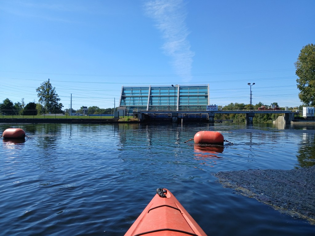
I paddled south along the dam.
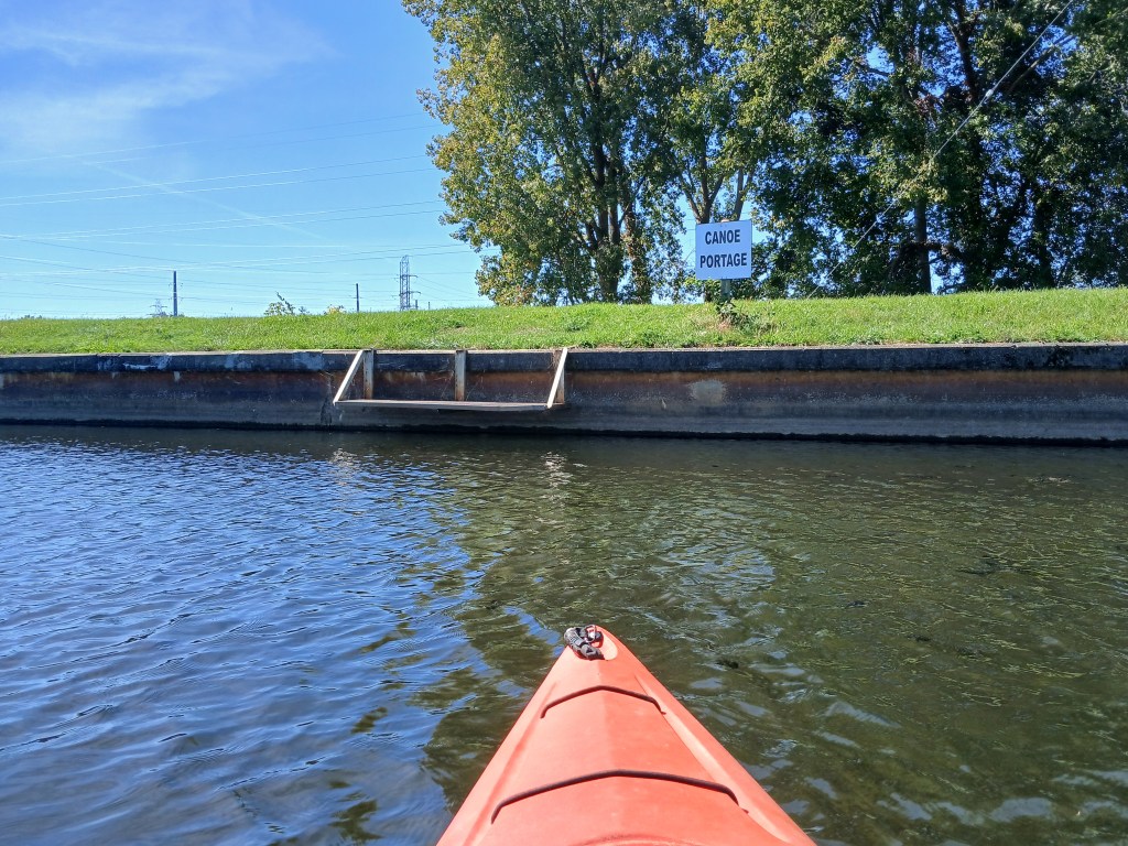
The Morrow Dam portage is part of another voyage that includes the portage and a trip down the Kalamazoo River to Merrill Park in Comstock. The post for that trip is titled “Morrow Lake and Kalamazoo River, Comstock Township, Kalamazoo County”.
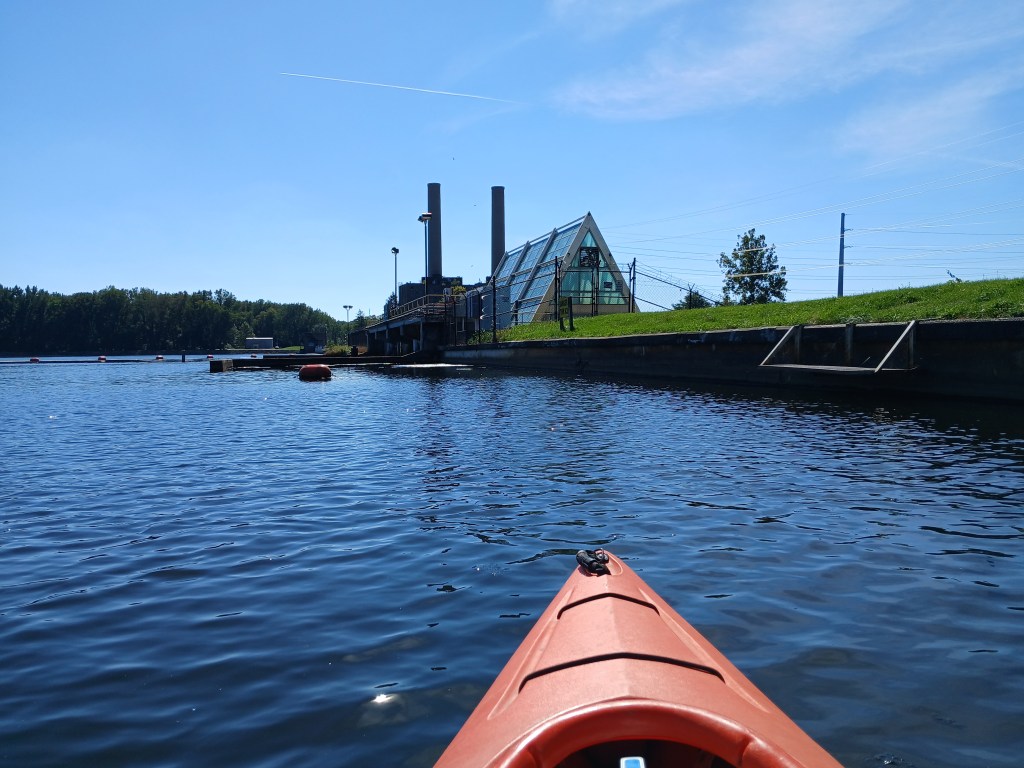
Heading south from the portage, a hydroelectric power plant occupies part of the dam.
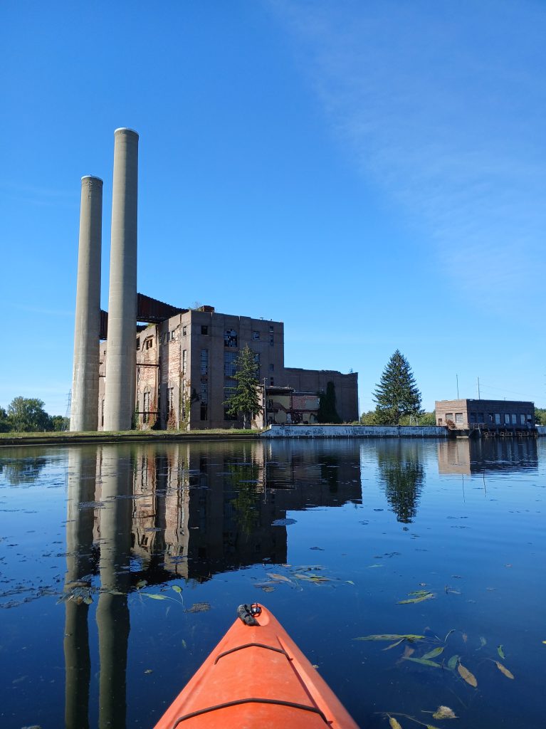
Farther south, a abandoned coal-fired power plant is part of the dam scenery.
The south end of the dam is on the southwest corner of the lake, next to the power plant.
I paddled east along the south shore of the lake. The waters edge is lined with rock rip-rap for erosion control.
At the east end of the rip-rap, a short stretch of wooded shoreline gives way to the huge cattail bed.
The cattail bed reaches all the way to the horizon on the east end of the main basin.
I had already paddled the edge of the cattails from east to west, halfway to the dam, on the previous voyage. On this trip, I was heading west to east, from the dam. Paddling along the cattails was getting rather monotonous. Eventually, I decided that I had enough of the cattails. I changed course to northeast toward the landing and the end of the trip.
I think that the main basin of Morrow Lake is not very interesting. Aquatic vegetation growth on parts of the main basin is far from attractive. The thick vegetation is also difficult to paddle through. However, the east part of the lake, with its islands and channels, is a great place to kayak. The main basin is kind of a dud. The portion of the lake that is part of the trip from the Morrow Lake Access to Merrill Park Comstock gives kayakers an adequate sample of the main basin scenery. This is my opinion of Morrow Lake. You may find that the main basin is enjoyable to kayak. That’s why I covered it in detail. Leave me a comment and let me know what you think. One last look at the Morrow Lake main basin, viewed from Morrow Dam.
The last time I was on Wolf Lake was fifty years ago on a fishing trip. I decided that I was overdue for a revisit. The lake is located west of Kalamazoo on highway M43, between Fish Hatchery Road and County Road 653. The entrance to the MDNR access site is on the north side of the highway.
Wolf Lake State Fish Hatchery is across the road, on the south side of the highway. I suggest a trip that combines a tour of the hatchery with kayaking the lake.
The shoreline of Wolf Lake is heavily wooded with a lot of brush.
A small stream enters the lake at the southeast corner.
I paddled up the stream for just a short distance and ran into a fallen tree.
Many years ago, this area was part of the hatchery and the stream flowed through concrete races filled with fish fingerlings. This spot is so overgrown with trees and brush that it’s hard to imagine that it was part of the fish hatchery.
There is a small marsh on the east side of the lake.
Wolf Lake is the source of the Paw Paw River, north branch. I paddled it for a short ways and I was stopped by a low bridge. This short section of the river turned out to be the highlight of the trip.
I returned to Wolf Lake and ended my trip at the landing.
Most people drive right by Wolf Lake without even slowing down. They don’t know what they’re missing!
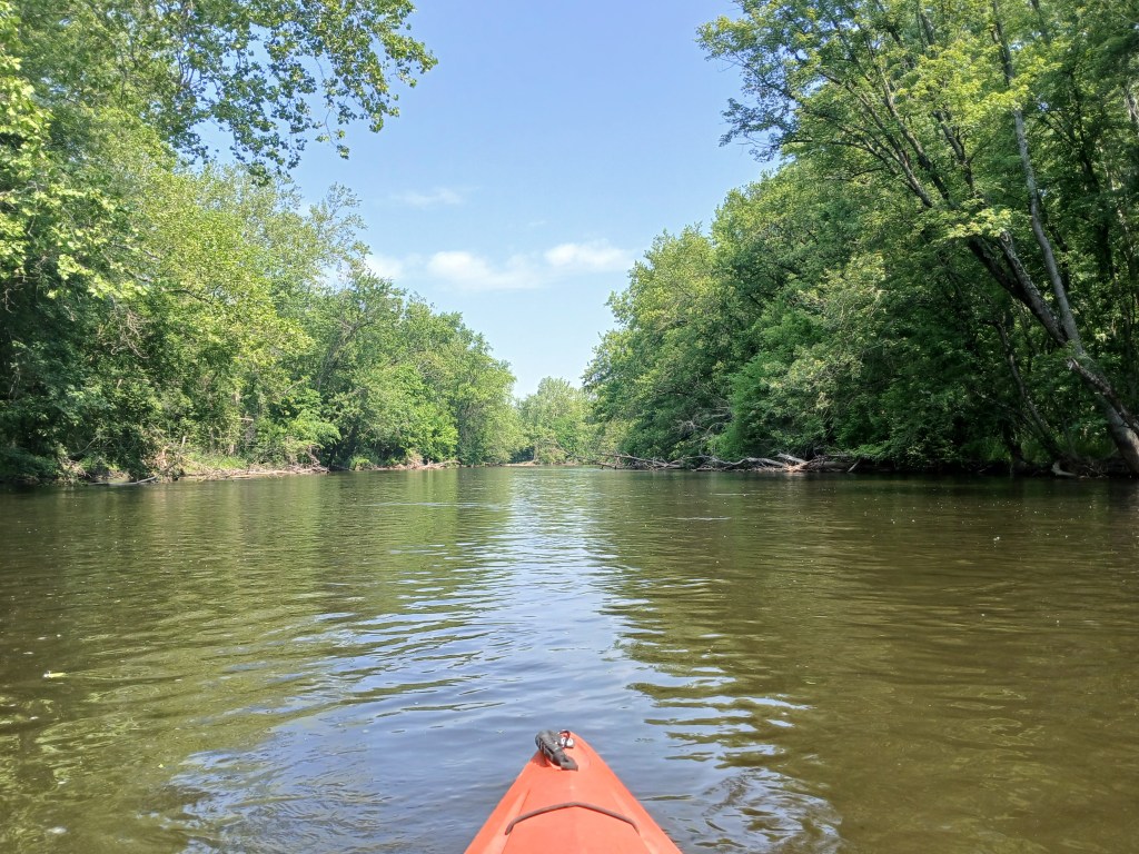
Over the years, I have kayaked the Kalamazoo River from Albion to Lake Michigan. This stretch of the Kalamazoo, from D Avenue to Plainwell, has always been my favorite. There are very few roads or houses that are close to the river, so it feels remote, like being “up north”.
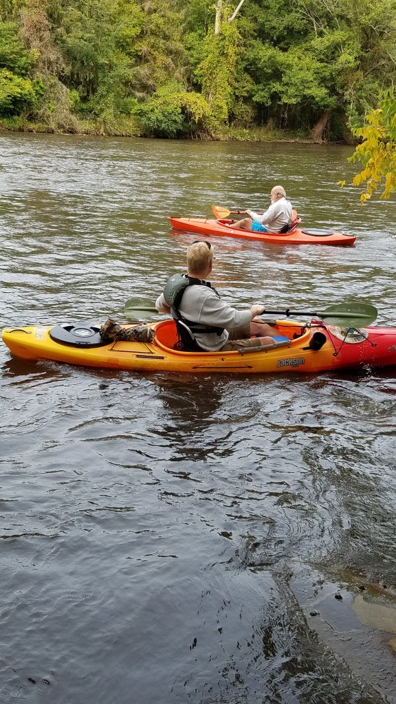
My friend Dan took a day off from work so he could join me on this river voyage. We launched our kayaks at the D Avenue bridge access site in Kalamazoo County. It is on the north side of the bridge, on the east side of the river. The site is privately owned and the fee is one dollar per boat and one dollar per vehicle. Fees subject to change.
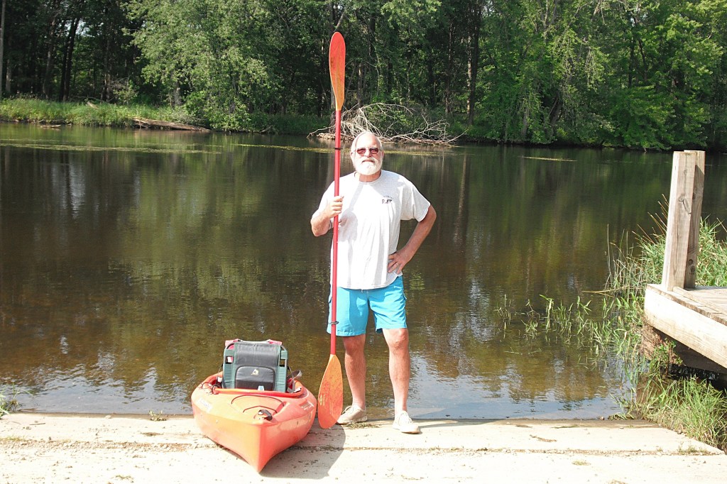
At the landing, getting ready to head downriver.
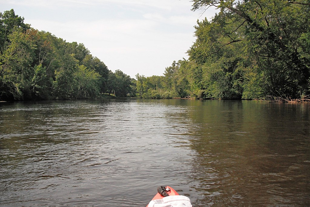
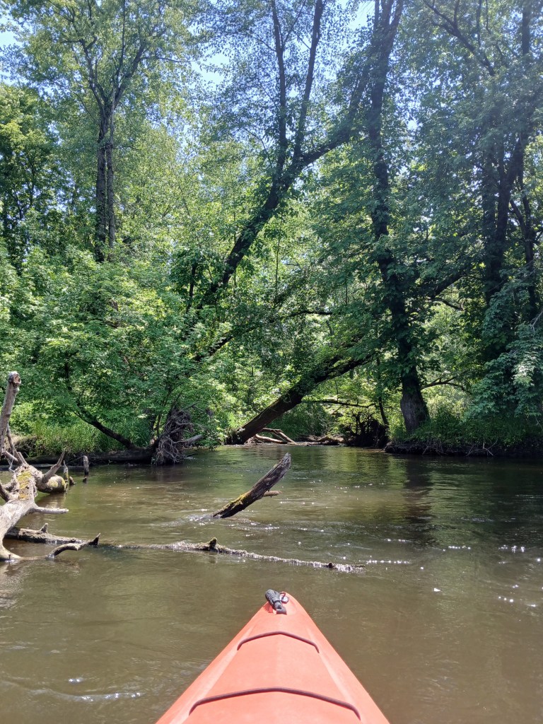
We kayaked the river in mid-September and the river was high and dirty. The current in this section varies between slow and moderate, but there are a few stretches of fast water. It is suitable for kayakers of all skill levels. Most of the shoreline is heavily wooded.
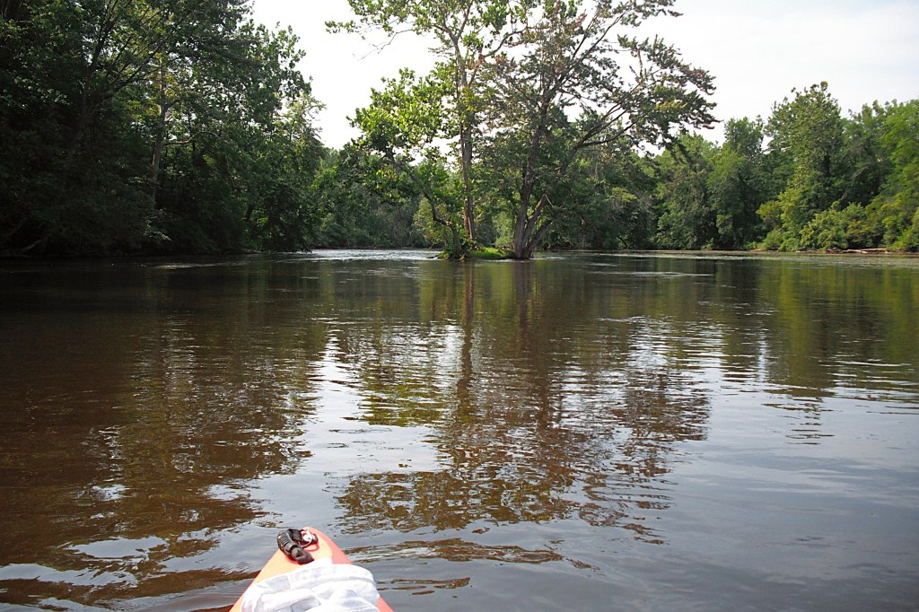
Exploring around the many islands is a enjoyable part of the excursion.
We were unable to paddle around many of the islands due to logjams and fallen trees, but we didn’t care. It’s all part of the fun!
Silver Creek enters the river from the northeast. Paddling up the creek is a nice little side trip. During low water levels, the creek can be too shallow to kayak.
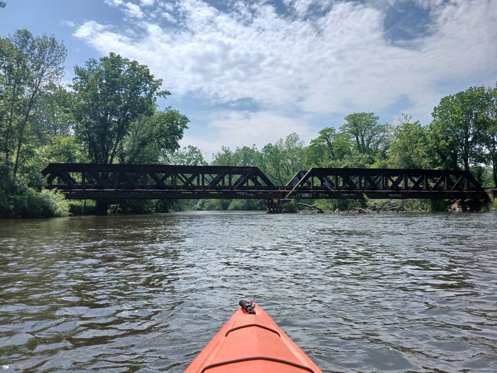
Farther downstream, a railroad bridge spans the river. The pony truss bridge was built in 1900 and is still in use.
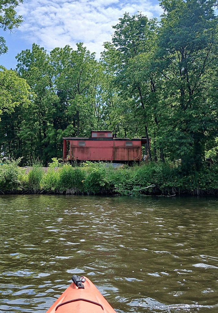
At the end of a straight stretch of the river, a railroad caboose is marooned on the left riverbank.
A short distance downstream, the river splits in two, around a large island.
Both channels around the island are navigable. After paddling around the island, the channels converge and there is a dam spanning the river. This dam diverts water to the millrace, which flows off to the left, above the dam. The river flows over the dam. The millrace rejoins the Kalamazoo River farther downstream, creating the island that the city of Plainwell is situated on. Hence the nickname, “The Island City”. There are three options when you approach the dam. Option one is paddling the millrace through town and taking out at Fannie Pell Park. The second option is paddling over the dam. This option can be dangerous for beginners and inexperienced kayakers. We decided to take option three, which is portaging the dam and continuing down the river. The portage is on the right side of the structure. There is a sign identifying the portage and a footpath that will take you downstream from the dam. Make your choice wisely. Always paddle within your limits and abilities. Be safe.
Once you get back in your kayak, Plainwell is only a short paddle away.
When you paddle into Plainwell, your take out site, Darrow Park, is on the west side of the river on Hicks Street. Heading north on Hicks Street will take you to Highway M89. You can also continue downstream and take out at Sheridan Park on Sheridan Avenue (not a good access site) or Fannie Pell Park on 10th Street/Main Street. Here’s one last look at the river.
This is a round trip, launch and take out are at the same spot. It’s not a lengthy trip. It’s ideal for the kayaker who has a couple of hours to spend. As the crow flies, a round trip is about a mile. With the twists and turns of the river, it’s about one and one half river miles.
The river access is west of Kalamazoo, on CR653, between highway M43 and 28th Avenue. There is no boat landing or parking lot. You launch your kayak at the bridge and park on the side of the road. I found that the best spot is on the south side of the river, on the east side of the road. The trip goes upstream from the access.
This stretch of the North Branch Paw Paw River flows through a vast lowland swamp.
Most large wetlands in southwest Michigan are covered with cattails and rushes. This swamp has none. That’s what attracted me to it. It’s different. There are trees and brush scattered throughout the wetland. There are no places to get out of your kayak to stretch and take a break.
The river is shallow, the bottom is mud, and the current is very slow. It’s a pretty easy paddle. The stream is lined with lily pads and water willow.
I approached a set of small culverts in the middle of nowhere.
There was a rustic cabin to the left of the culverts. The area looked well traveled and I could sense that there was a house nearby. I momentarily contemplated portaging the culverts. The thought of a irate landowner entered my mind and I turned my kayak around, heading downstream to the landing.
I enjoyed touring this scenic wetland and I hope you enjoy it too!
I bet most of you have never heard of this lake! Howlandsburg Mill Pond is an impoundment of Gull Creek. It’s in Ross Township, on the corner of East G Avenue and 37th Street. Howlandsburg, settled in 1834, was once a thriving village with a flour mill and a sawmill, both powered by Gull Creek. Today, all that remains of the once flourishing community is the mill pond and some homes.
I launched my kayak at the 37th Street bridge over Gull Creek. It is located at the corner of Greer Road and 37th Street, north of East G Avenue. The best spot seemed to be the south side of the creek, downstream from the bridge.
The site is less than ideal, a small hill lined with big rocks that move underfoot. Use caution. I investigated the upstream side, but there wasn’t enough clearance under the bridge. Parking is on the side of the road. The safest place to park is on Greer Road, a short walk away.
All the homes are congregated on the south end and the west side of the lake, so I spent most of my time exploring the north end and the east side of the mill pond. The water is crystal clear. Much of the lake is covered with lily pads and other floating vegetation. The creek channels offer clear paths through the vegetation. I easily paddled anywhere I wanted to go.
The trip begins by heading downstream on Gull Creek.
When I reached the mill pond, I encountered vast mats of floating vegetation on either side of the creek channel. I took a side trip east on a tiny channel through the veggies. I ended up in a small hidden pond, not visible from the main creek channel.
A little farther south, I took a similar channel to another hidden pond.
I continued south along the east side of the mill pond. I paddled a barely noticeable water trail through some dense brush.
I ended up in a small pond.
I paddled to the far end of the pond and found fallen trees blocking my way.
I portaged around the trees and found myself in a cove.
The other end of the cove opened up to the south end of the main basin of the lake!
If you explore every nook and cranny of a waterway, you’ll be surprised at what you may find!
The dam and spillway standpipe are located on the south side of the main basin. Downstream from the dam, Gull Creek continues on its journey to the Kalamazoo River.
I headed north along the west shore, checking out the lake homes as I paddled toward Gull Creek. A flock of six mute swans decided to paddle up the creek in front of me.
The creek became narrow as I got close to the swans. I didn’t want to get close to them, but I needed to get past them to get to the landing. They became very annoyed and frantically took off, their wings splashing the water and whipping the cattails. Too close for comfort! It took them forever to get airborne and I was glad to get rid of them. They made me a little nervous. I continued paddling upstream to the creek access.
I reached the access site at the bridge and managed to get my boat over the rocks and up to the road without falling down. Lucky me!
I enjoyed kayaking Howlandsburg Mill Pond and I put it on my “visit it again” list.
Being retired means that I have a lot of free time to think up cool kayaking adventures and then paddle them. If you go on this trip, you won’t be disappointed. It involves paddling from Chief Noonday Lake to Gun Lake via Payne Lake and Payne Creek. This voyage is suitable for kayakers of all skill levels. There is a highway that must be portaged. The dynamic duo of Ron and Dan hit the water on a sunny weekday in late September of 2020.
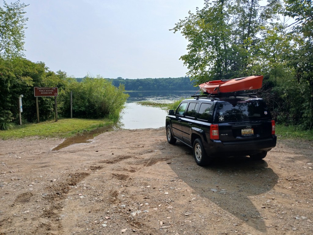
To get to Chief Noonday Lake, head north on Briggs Road from highway M179. The well-hidden entrance to the access site is on the east side of the road, at the beginning of a curve. It is marked by a tiny sign. It’s easy to drive right by without seeing it. The landing is on the west side of the lake.
The lake lies within Yankee Springs State Recreation Area. It is shallow and weedy. The south side of the lake features a large wetland with forest bordering each end.
Chief Noonday Outdoor Center is on the east side of the lake. The center was built in 1938-39 by the Civilian Conservation Corps and is listed on the National Register of Historic Places. It is similar to the nearby Long Lake Outdoor Center. We beached our kayaks next to a dock and took a short hike through the outdoor center. The original old cabins and buildings are scattered throughout the scenic forest.
We returned to our kayaks and enjoyed the wooded shores of the outdoor center.
We paddled west along the north shore.
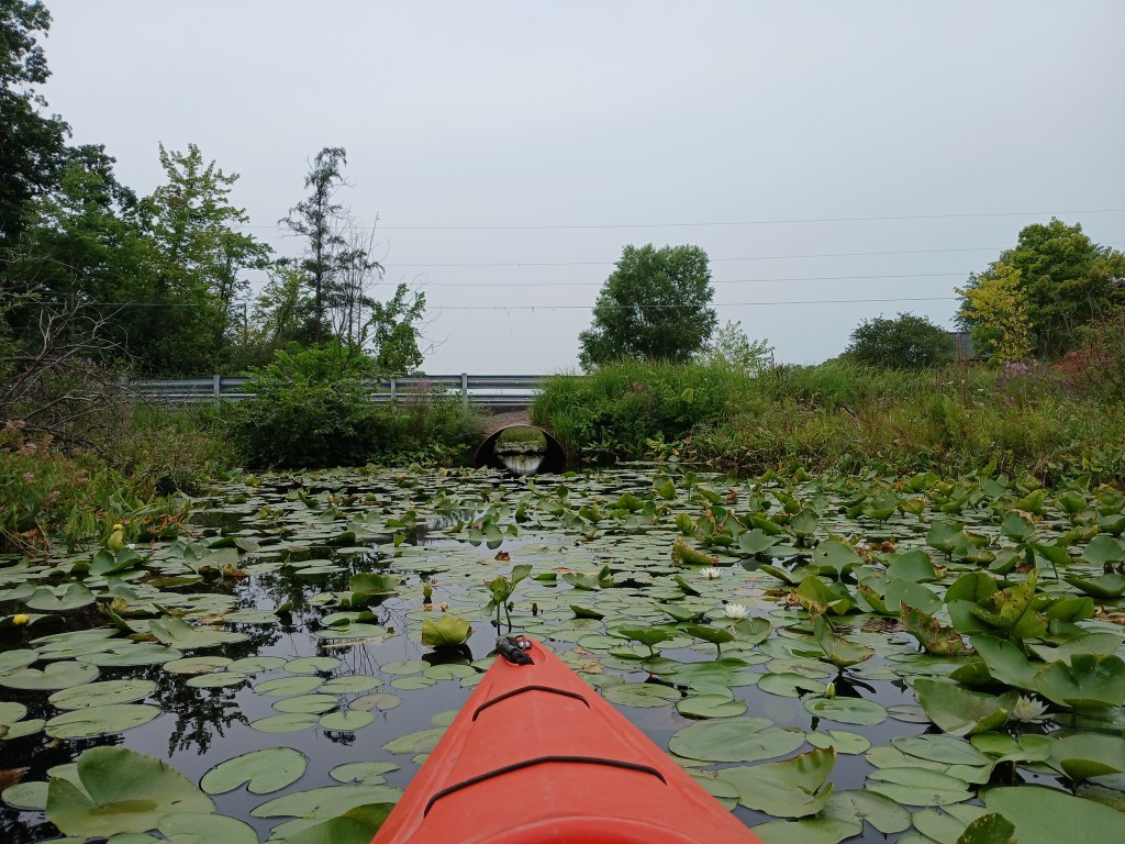
We followed a channel that goes through a culvert under Briggs Road.
The culvert is too narrow to paddle, so you must pull yourself through by hand. A thank you goes out to the paddlers who earlier cleared the spider webs from the culvert. The channel empties into the northeast corner of Payne Lake.
AUGUST 14, 2026 UPDATE:
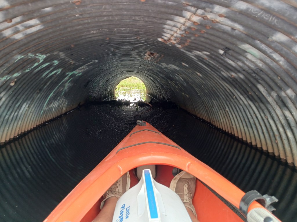
Beavers have built a dam in the middle of the culvert under Briggs Road, blocking passage. As you can see, there is no headroom inside the culvert. I had to slouch way down in my kayak just to get the photo. The extremely low clearance made going over the dam impossible.
The water is four feet deep at the mouth of the culvert. A portage over the road can be done, but it won’t be easy.
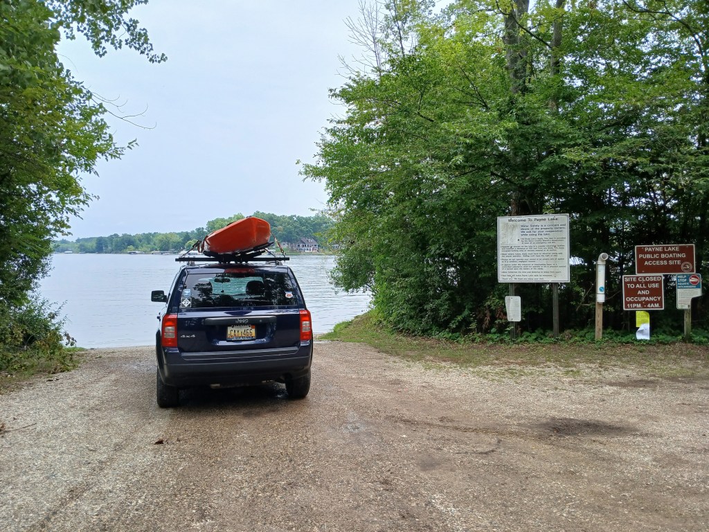
The trip can still be completed by using a different starting point. Kayakers have two options. Beginning the trip at the highway M179 culverts is not recommended because of safety concerns. The close proximity of speeding traffic is not conducive to unloading and launching. The best alternative would be starting the trip at the Payne Lake public access. By doing so, Chief Noonday lake would be eliminated from the water trail. Chief Noonday Lake can be a worthwhile destination for another trip. The Payne Lake boat landing:
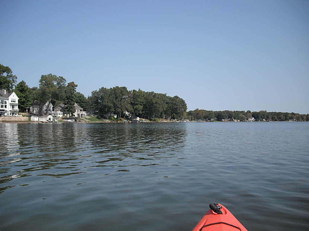
The shore of Payne Lake is lined with homes and cottages.
The land on the southwest side of the lake is a sizable parcel of the Yankee Springs State Recreation Area. We paddled the recreation area shoreline south to the outlet, Payne Creek. The outlet is hidden in a small area of cattail marsh. The short waterway through the cattails will take you to the portage over highway M179. The water is deep next to the culverts. M179 is a busy highway. Traffic moves at a high rate of speed. Portaging the road is stretching the limits of safety. Please be extra careful when portaging.
Dan is always ready to give me a hand!
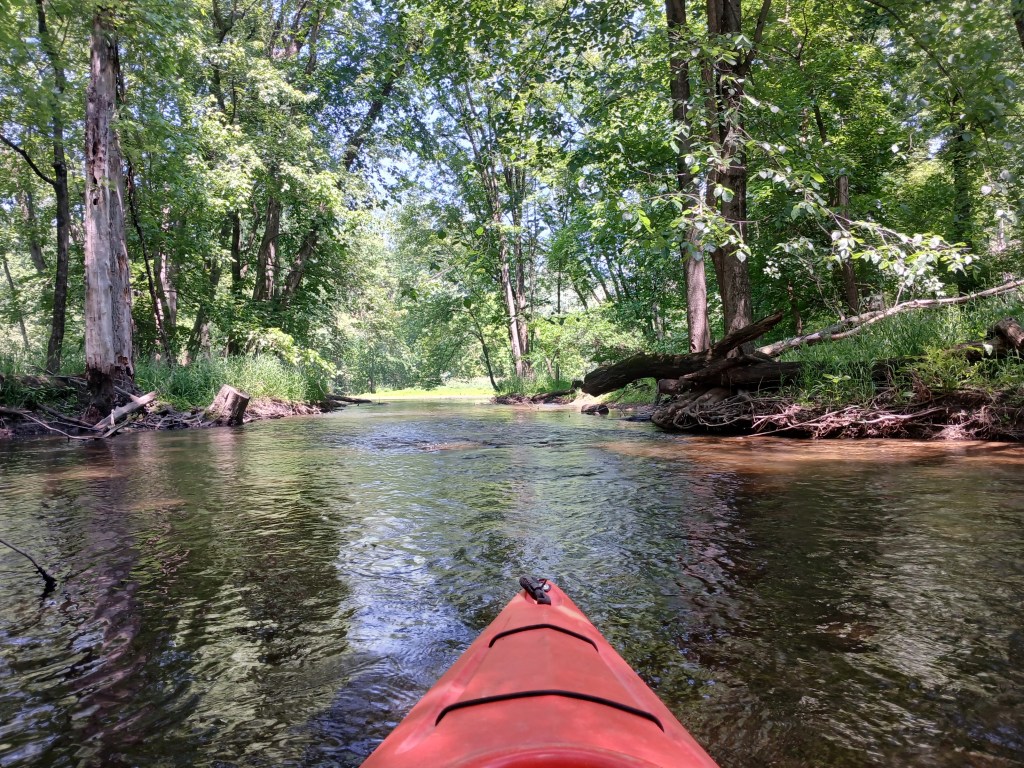
The first part of Payne Creek flows south through a cattail marsh bordered by woods. The east side of the creek is Yankee Springs State Recreation Area and the west side is undeveloped private property.
The creek twists and turns so much that it seemed like we were paddling in circles. The stream eventually flows through a wooded area and is lined with an abundance of water willows. The slender stem of the water willow bends over and the tip roots, forming a loop. If your kayak or paddle enters the loop, the root pulls out and smears you and your kayak with mud!
After passing under a dilapidated bridge, the scenic creek transitions to a channel lined with homes and empties into the north end of West Gun Lake.
We paddled east along the recreation area shoreline and took a break at the Gun Lake Unit Campground Beach. We continued following the coastline east past the campground and then south past another beach. We ended our trip at the Gun Lake Unit Canoe/Kayak/Small Craft Launch Site, just south of the second beach.
The park entrance is on the west side of Briggs Road, south of highway M179. Follow the park signs to the boat landing.
After paddling this water trail, you’ll have to agree that it is indeed a epic voyage!
This trip takes place in the north end of Barry State Game Area, in the Thornapple River watershed. It involves paddling from Shaw Lake to Basset Lake by way of Shaw Creek and Basset Creek. Kayakers have another option: begin at Basset Lake and finish at Shaw Lake. The two lakes are only a half mile apart as the crow flies, but in creek miles, it is easily double that distance. Paddlers can spot a vehicle or take a round trip.
I preferred to start my trip at Shaw Lake. The entrance to the primitive public access is on the south side of Shaw Lake Road, between Bender Road and Kiser Road. Shaw Lake Road curves around the north end of Shaw Lake and you can see the lake from the road. A improved trail will take you to the east shore of the small lake.
A shoreline cruise is a good way to start the trip.
Shaw Creek begins at the south end of Shaw lake.
Head downstream on Shaw Creek to Basset Creek.
Paddle upstream on Basset Creek to Basset Lake
Some waterfront homes and cottages are on the lake, but the game area shoreline is scenic.
Turner Creek flows into the west side of Basset Lake. I paddled up the creek until it became overgrown with brush.
I paddled back to the lake and ended my trip at the Basset Lake boat landing.
The vehicle entrance to the Basset Lake public access is on the east side of Norris Road, between Bowens Mill Road and Shaw Lake Road.
It’s early October and still warm enough to kayak! I hooked up with my friend Dan for a Saturday color tour of the Kalamazoo River.
Kayakers of all skill levels will enjoy this stretch of the Kalamazoo.
Our voyage began at the 26th Street bridge over the Kalamazoo River. To get to the bridge, head south on 26th Street from highway M89, between the cities of Otsego and Allegan. Trowbridge Dam is next to the bridge.
Early spring at Trowbridge Dam, viewed from the 26th Street bridge deck.
The access site that we used is on the south side of the river, on the west side of the bridge. Parking is on the side of the road and a narrow footpath leads down a hill to the river, next to the bridge. There is another access that is right next to the dam, on the south side of the river. This boat landing is temporarily closed. The dam is being removed. The riverbed and the riverbank behind the dam are in the process of remediation from pollution.
Looking downstream, just after shoving off from the landing.
The first part of the trip, from the access site to the Williams Road bridge, is remote.
There is no sign of civilization and the only sounds that you will hear are the river, the wind, and the woods.
There are islands to explore around. When trying to decide which side of an island to paddle, we always pick the channel that looks more difficult. We enjoy the challenge. We came upon a large island about halfway between 26th Street and Williams Road. The easy route is the north side of the island. We took the more difficult south channel. We had to get out of our kayaks several times to portage trees and log jams that blocked our progress. The extra work was worth it. The south channel was exceptionally scenic.
We continued on with our voyage and stopped for lunch at the mouth of a tiny stream, just upriver from the Williams Road bridge.
Downstream from the bridge, the current very gradually slows, almost to a stop.
The river gradually widens into a lake, the backwater of Allegan City Dam in Allegan.
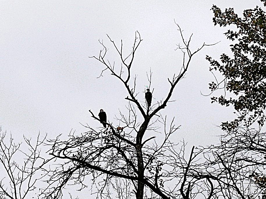
About halfway between Williams Road and Allegan, we encountered two Bald Eagles perched high up in a dead tree.
We quietly paddled toward them until we were only two hundred feet away. We didn’t want to disturb them by getting any closer. They squawked at each other for a little while. I think they were talking about us. We enjoyed their company, but it was time to head downstream.
The river remains scenic as you enter the outskirts of the city of Allegan.
The river makes a sharp turn north and enters a lowland delta, with islands and channels. We arbitrarily picked a channel that traveled the east side of the delta.
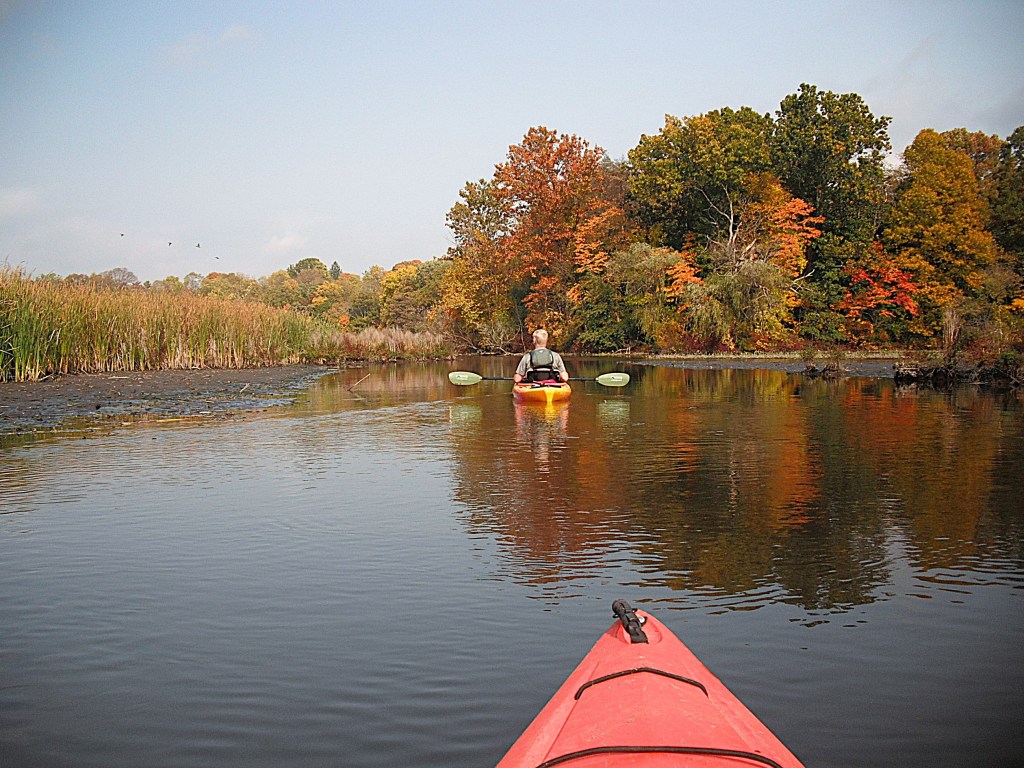
Dan leads the way through the delta.
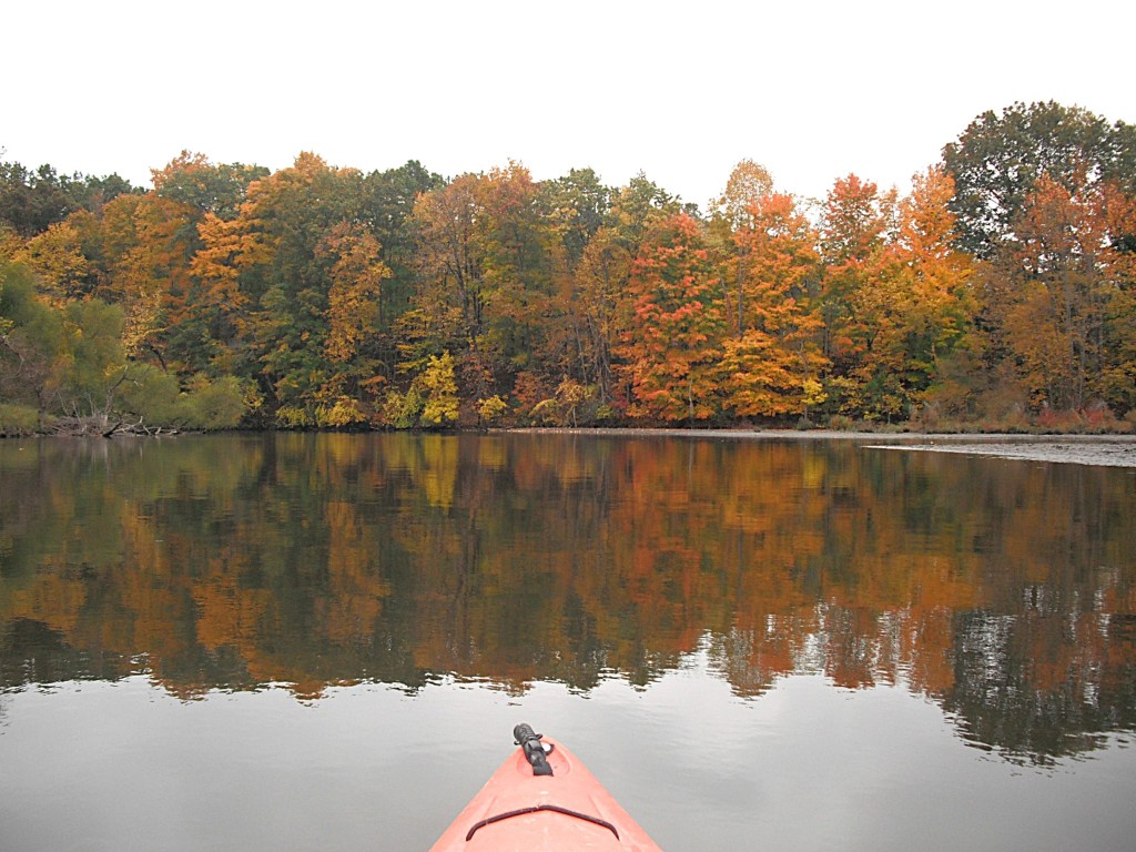
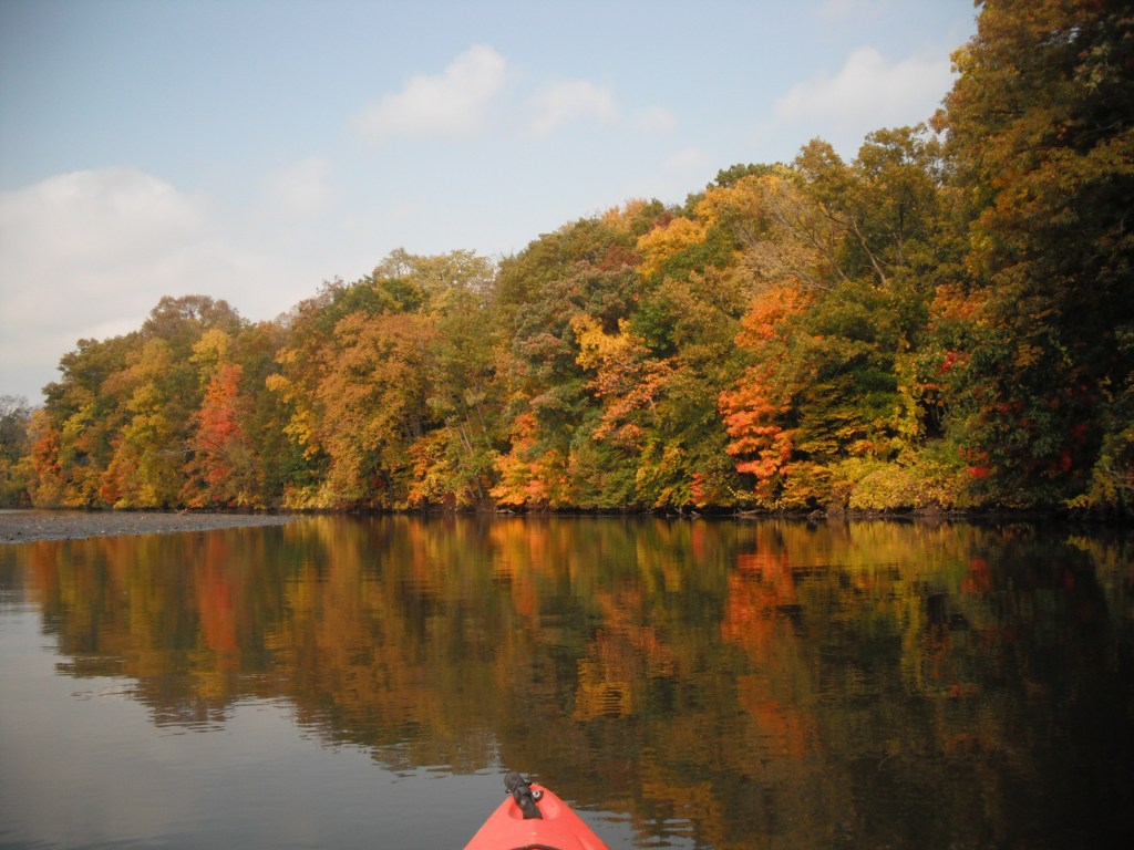
We were rewarded with terrific fall colors along the wooded shoreline.
The channels of the delta merge into a wide waterway just upstream from the M89 bridge. After passing under the bridge, turn left, northwest. Hanson Park and the boat landing are dead ahead. The park has a wide dock flanked on each side by attached boat slides with grab rails. It’s the nicest kayak landing I’ve ever seen. Thank you, Allegan!
Hanson Park is easy to get to by vehicle. Drive a hundred feet north of the M89 and M40 intersection. Turn east on Hubbard Street. The entrance to the park is on the south side of Hubbard Street, between the Griswold Auditorium and the Allegan District Library.
This stretch of the Kalamazoo River, from Trowbridge to Allegan, offers beautiful fall colors and is equally enjoyable during the rest of the kayaking season!
Twin Lakes are located on Ravine Road in Kalamazoo County and the road separates the two lakes. Twin Lakes are named collectively, but not separately. I will name them for their geographical position: Twin Lakes East and Twin Lakes West. Twin Lakes East lies on the border of Cooper and Kalamazoo Townships. Twin Lakes West is in Alamo Township. The access for the two lakes is a spot where they are closest together, on Ravine Road, between Winding Way and 12th Street. There is no formal boat landing. Launch and parking are at the side of the road. The speed and close proximity of the traffic can be rather unnerving when loading and unloading. Be mindful of the “no parking” signs. I always park on the shoulder, as far from the paved surface as possible. I’ve never been ticketed. Knock on wood!
TWIN LAKES EAST
Twin Lakes East is not very popular for boating or fishing because of excessive aquatic vegetation growth. During summer, much of the lake is covered by algae and other vegetation. I kayaked the lake in early May and the algae was limited to shoreline areas. I recommend kayaking the lake in early spring, before the vegetation blooms. Another option is late fall, after the seasonal vegetation die-off.
On my May trip, I observed hundreds of carp in the shoreline shallows. Many of them were in a foot of water or less with their backs out of the water. Several times, I drifted in to the shallows with my kayak parallel to the shoreline, cutting off the escape route of the carp. The carp panicked and went crazy. They jumped and thrashed about. Some of them rammed my kayak. The bluegills that were in the shallows with the carp went nuts too. One of them jumped into my kayak! I couldn’t stop laughing! It was quite an experience.
About a third of the shoreline is developed with homes, all on the south end of the lake. Most of the photos feature the undeveloped portions of the lake. A large farm is situated on the north corner of the lake. If the wind is from the north, kayakers can expect an unpleasant odor coming from the farm.
The boat landing area is on the northwest end of the lake.
Some parts of the lake are bordered by dead trees and dead brush.
An island is on the southwest end of the lake.
My favorite part of the lake was the undeveloped northeast shore.
Despite all of its negatives, I found Twin Lakes East to be an enjoyable lake to kayak, but not during summer.
TWIN LAKES WEST
Twin Lakes West is the more scenic of the two lakes.
There are a few homes on the east end of the lake. The homes are concentrated in two spots. The rest of the lake is undeveloped. Some kayakers may not like Twin Lakes West because of the road noise from highway US131. This is especially true on the far west end. Also, a power line interrupts the landscape on part of the lake.
In the summer, some parts of the lake are overgrown with aquatic vegetation. Most of the lake remains open and is easily paddled. There are a lot of dead trees and dead brush along the shoreline.
Twin Lakes West consists of a south basin and a north basin that are connected at the narrows. The boat launch area is on the east end of the south basin.
The west side of the south basin offers a scenic shoreline to paddle.
On the north corner of the south basin, the narrows provides access to the north basin.
As you enter the north basin, there is a cove to explore to the east. This photo looks west from the back of the cove. It may be coincidence, but I always seem to find something interesting in this cove. On my latest visit, I watched two huge snapping turtles fighting. I was only four feet away from them!
I recommend kayaking the shoreline of the north basin. Ravine Road travels along the north shore of the north basin, but it’s not all that noticeable.
In the northwest corner of the north basin, a small area on shore has been cleared of brush. It’s a good spot to get out of your kayak, stretch, and take a break. The narrows is straight across the lake.
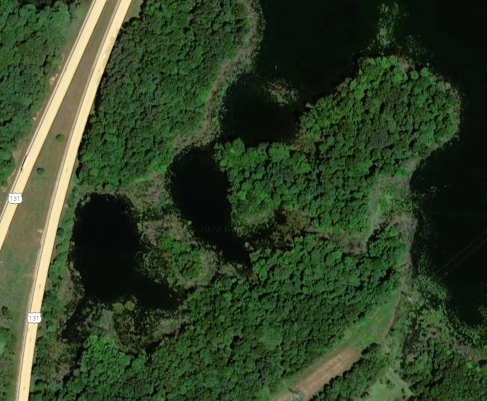
There are two ponds connected to the southwest corner of the north basin.
I think that the ponds are the highlight of the lake. The only drawback is their close proximity to US131 and the accompanying noise. The channel to the ponds is easy to find.
The ponds are a cool place to explore.
On one of the ponds, I blazed a water trail through the woods and ended up on the south basin. The following photos trace my route through the flooded brush and trees. During low water levels, the water trail may be impossible to paddle.
Open water ahead!
It’s unusual to find a lake that’s mostly undeveloped, yet close to a large urban area. Here’s one last look at Twin Lakes West.