YANKEE SPRINGS
Being retired means that I have a lot of free time to think up cool kayaking adventures and then paddle them. If you go on this trip, you won’t be disappointed. It involves paddling from Chief Noonday Lake to Gun Lake via Payne Lake and Payne Creek. This voyage is suitable for kayakers of all skill levels. There is a highway that must be portaged. The dynamic duo of Ron and Dan hit the water on a sunny weekday in late September of 2020.
To get to Chief Noonday Lake, head north on Briggs Road from highway M179. The well-hidden entrance to the access site is on the east side of the road, at the beginning of a curve. It is marked by a tiny sign. It’s easy to drive right by without seeing it. The landing is on the west side of the lake.
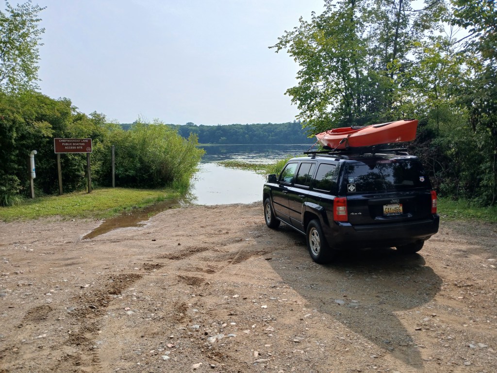
The lake lies within Yankee Springs State Recreation Area. It is shallow and weedy. The south side of the lake features a large wetland with forest bordering each end.
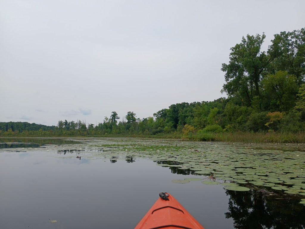
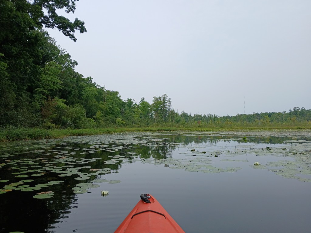
Chief Noonday Outdoor Center is on the east side of the lake. The center was built in 1938-39 by the Civilian Conservation Corps and is listed on the National Register of Historic Places. It is similar to the nearby Long Lake Outdoor Center. We beached our kayaks next to a dock and took a short hike through the outdoor center. The original old cabins and buildings are scattered throughout the scenic forest.
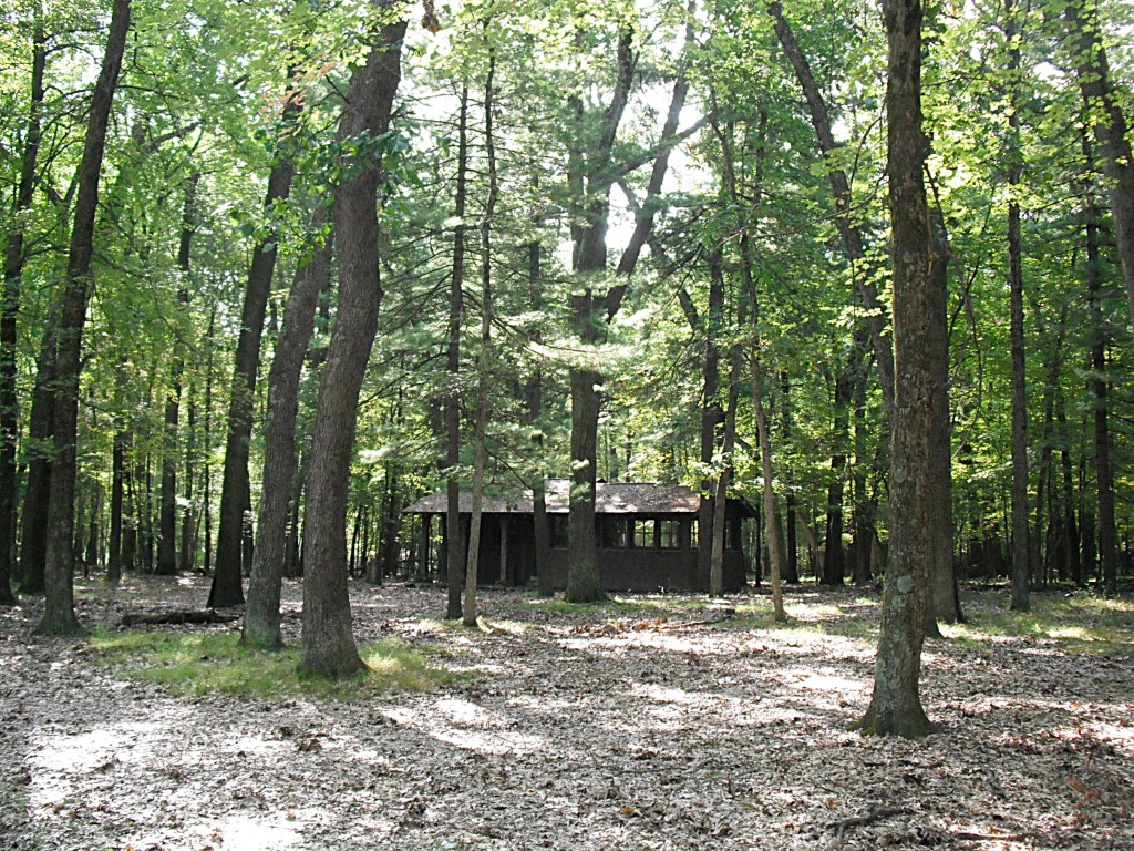
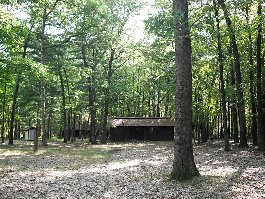

We returned to our kayaks and enjoyed the wooded shores of the outdoor center.
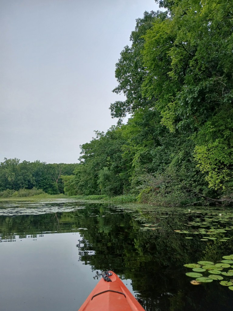
We paddled west along the north shore.
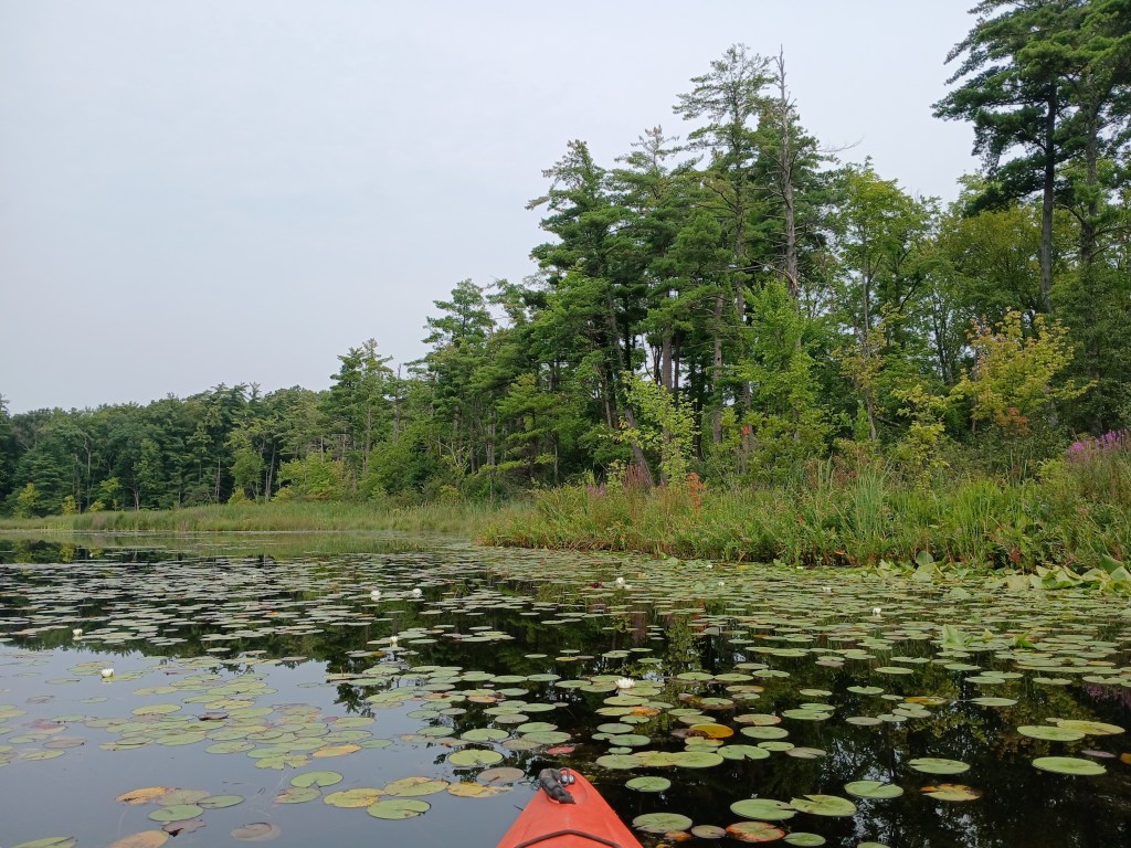
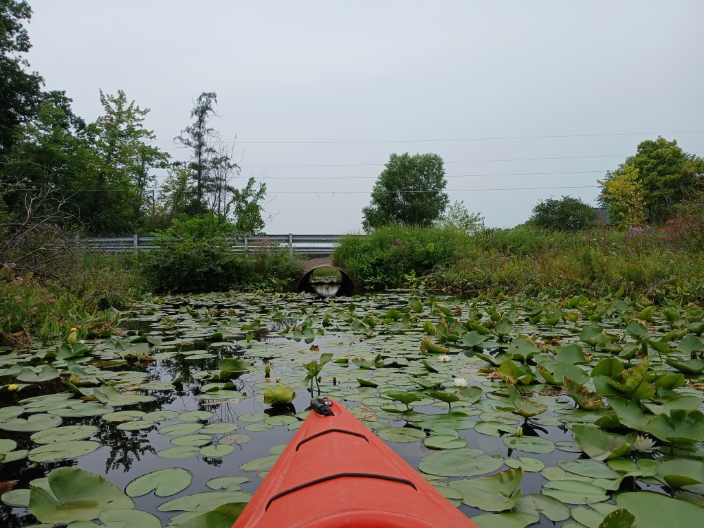
We followed a channel that goes through a culvert under Briggs Road.
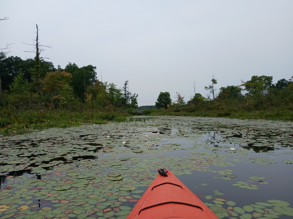
The culvert is too narrow to paddle, so you must pull yourself through by hand. A thank you goes out to the paddlers who earlier cleared the spider webs from the culvert. The channel empties into the northeast corner of Payne Lake.
AUGUST 14, 2026 UPDATE:
Beavers have built a dam in the middle of the culvert under Briggs Road, blocking passage. As you can see, there is no headroom inside the culvert. I had to slouch way down in my kayak just to get the photo. The extremely low clearance made going over the dam impossible.
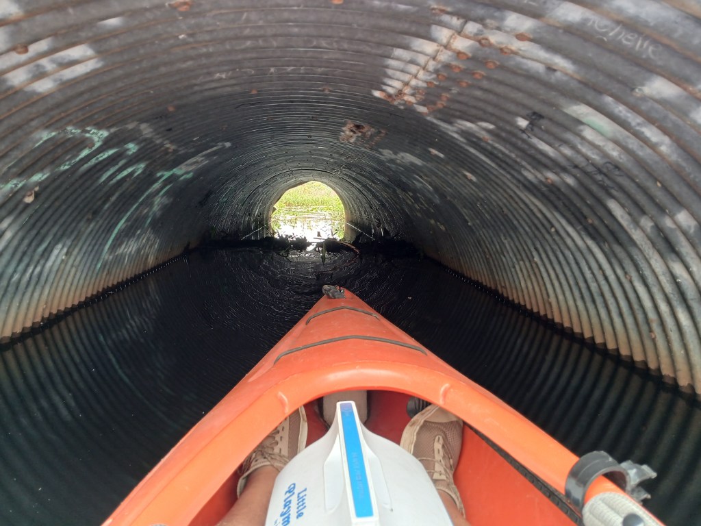
The water is four feet deep at the mouth of the culvert. A portage over the road can be done, but it won’t be easy.
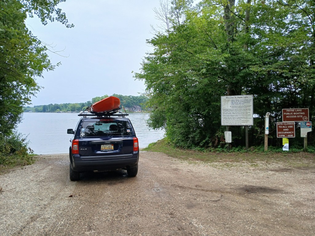
The trip can still be completed by using a different starting point. Kayakers have two options. Beginning the trip at the highway M179 culverts is not recommended because of safety concerns. The close proximity of speeding traffic is not conducive to unloading and launching. The best alternative would be starting the trip at the Payne Lake public access. By doing so, Chief Noonday lake would be eliminated from the water trail. Chief Noonday Lake can be a worthwhile destination for another trip. The Payne Lake boat landing:
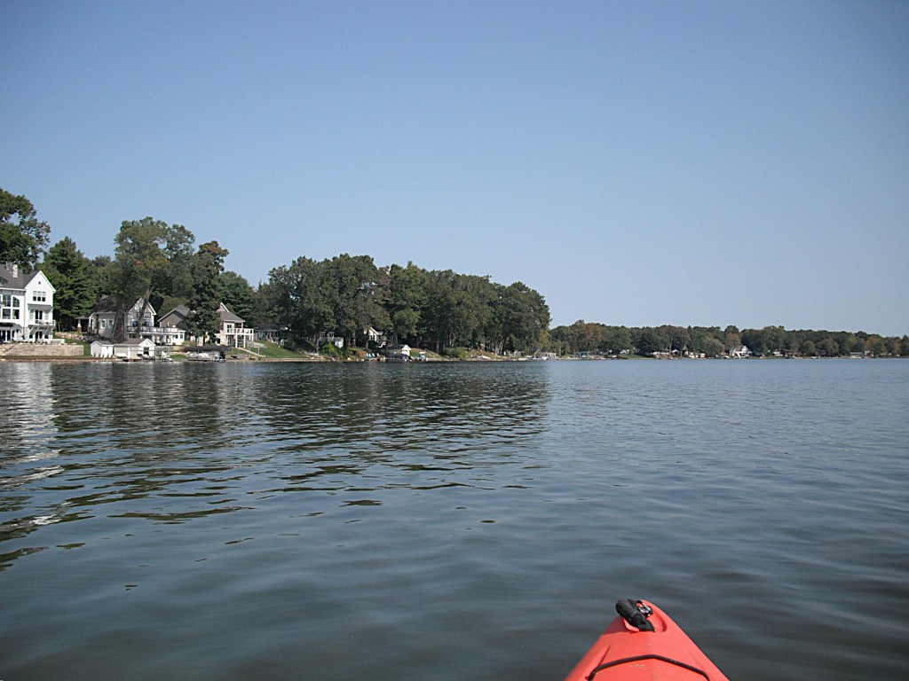
The shore of Payne Lake is lined with homes and cottages.
The land on the southwest side of the lake is a sizable parcel of the Yankee Springs State Recreation Area. We paddled the recreation area shoreline south to the outlet, Payne Creek. The outlet is hidden in a small area of cattail marsh. The short waterway through the cattails will take you to the portage over highway M179. The water is deep next to the culverts. M179 is a busy highway. Traffic moves at a high rate of speed. Portaging the road is stretching the limits of safety. Please be extra careful when portaging.
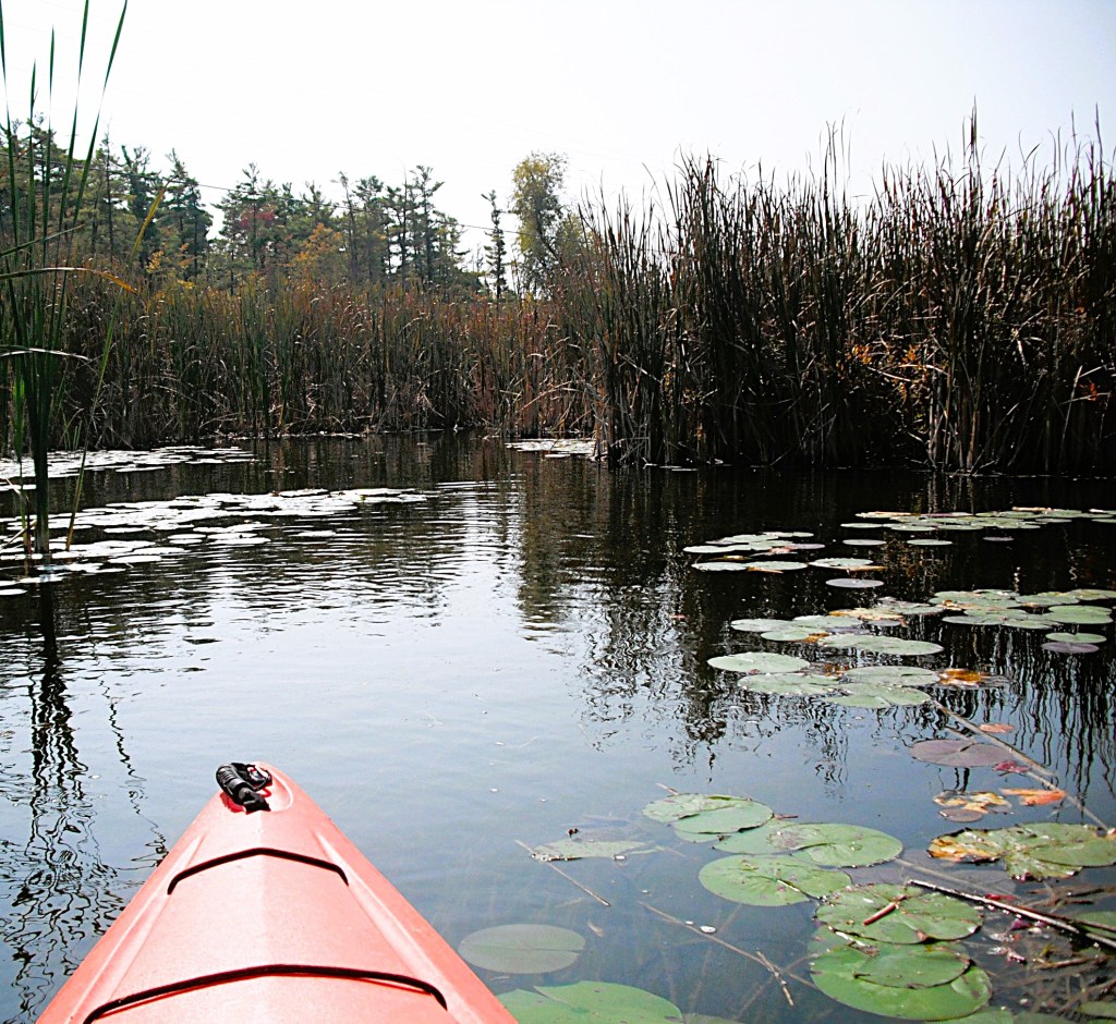
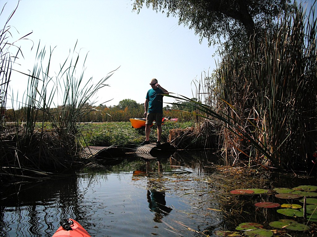
The first part of Payne Creek flows south through a cattail marsh bordered by woods. The east side of the creek is Yankee Springs State Recreation Area and the west side is undeveloped private property.
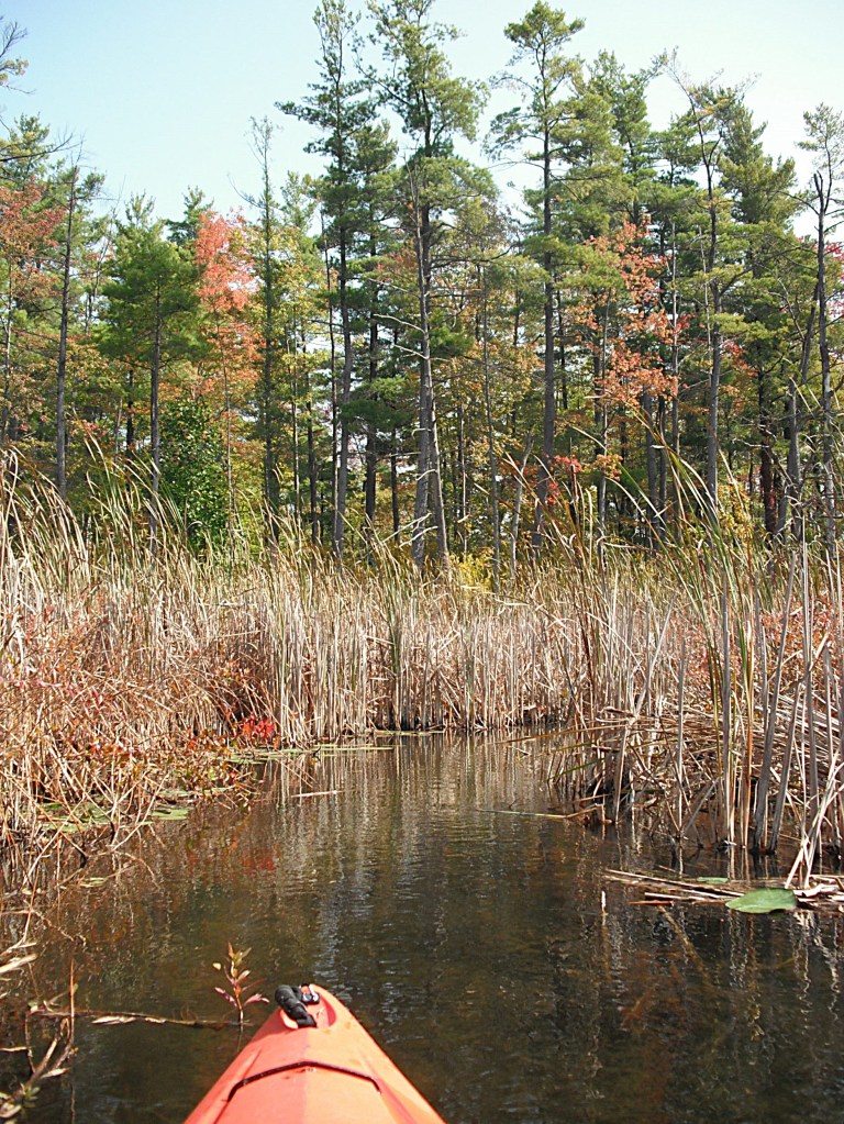
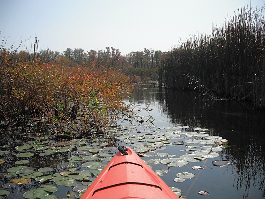
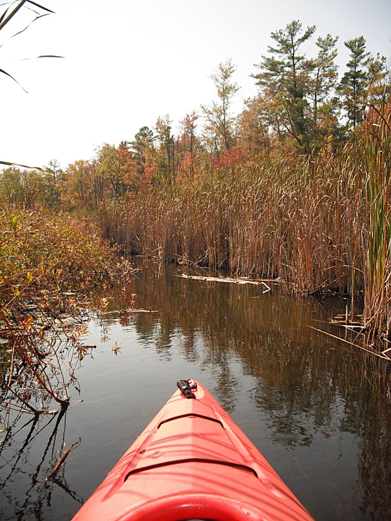
The creek twists and turns so much that it seemed like we were paddling in circles. The stream eventually flows through a wooded area and is lined with an abundance of water willows. The slender stem of the water willow bends over and the tip roots, forming a loop. If your kayak or paddle enters the loop, the root pulls out and smears you and your kayak with mud!
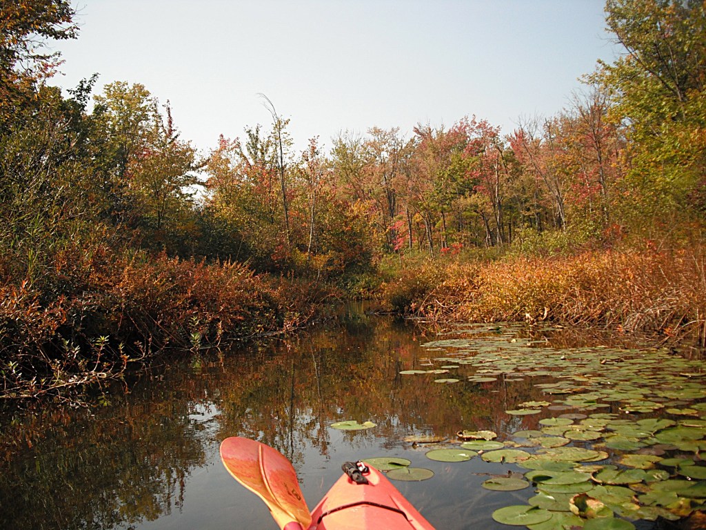
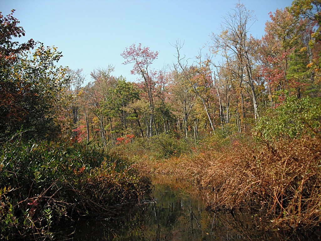
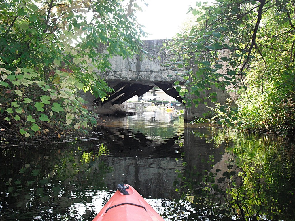
After passing under a dilapidated bridge, the scenic creek transitions to a channel lined with homes and empties into the north end of West Gun Lake.
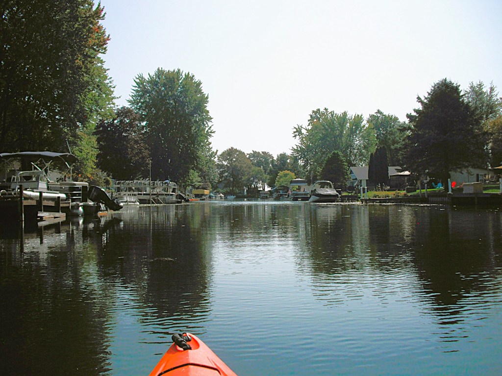
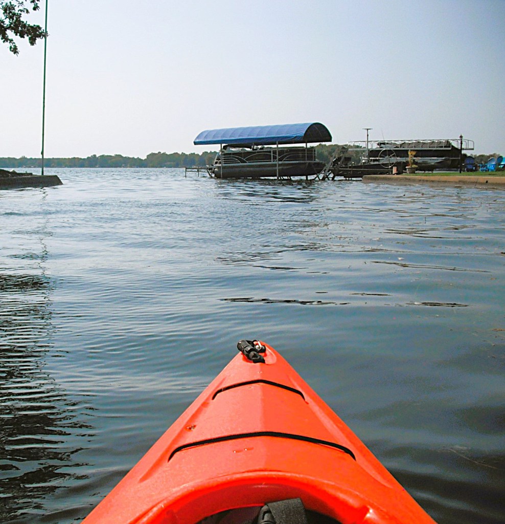
We paddled east along the recreation area shoreline and took a break at the Gun Lake Unit Campground Beach. We continued following the coastline east past the campground and then south past another beach. We ended our trip at the Gun Lake Unit Canoe/Kayak/Small Craft Launch Site, just south of the second beach.
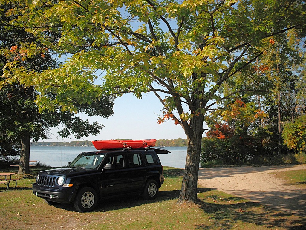
The park entrance is on the west side of Briggs Road, south of highway M179. Follow the park signs to the boat landing.
After paddling this water trail, you’ll have to agree that it is indeed a epic voyage!


