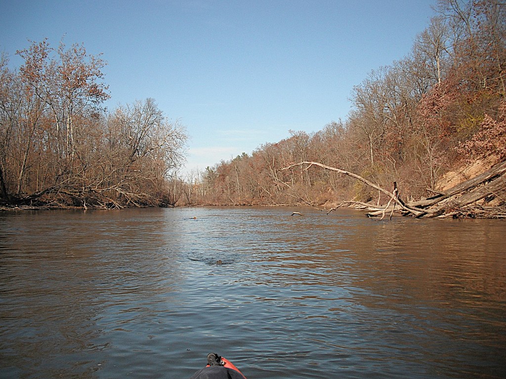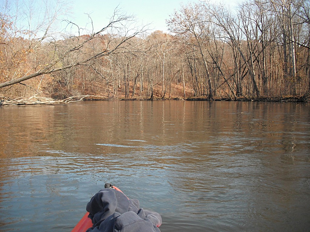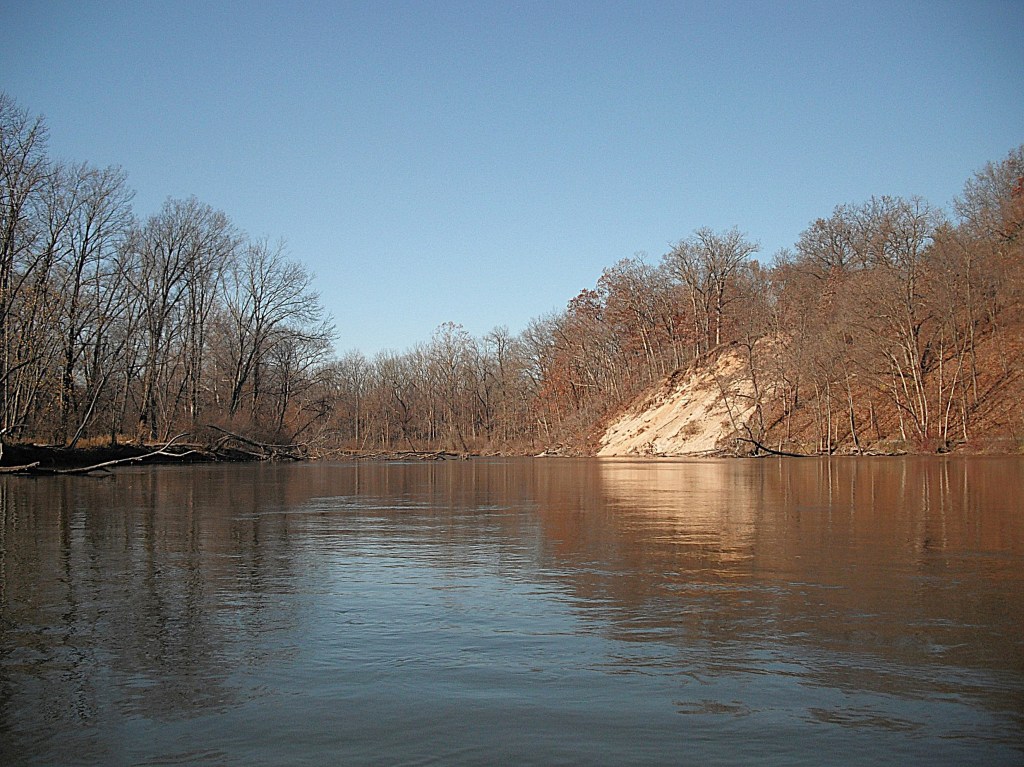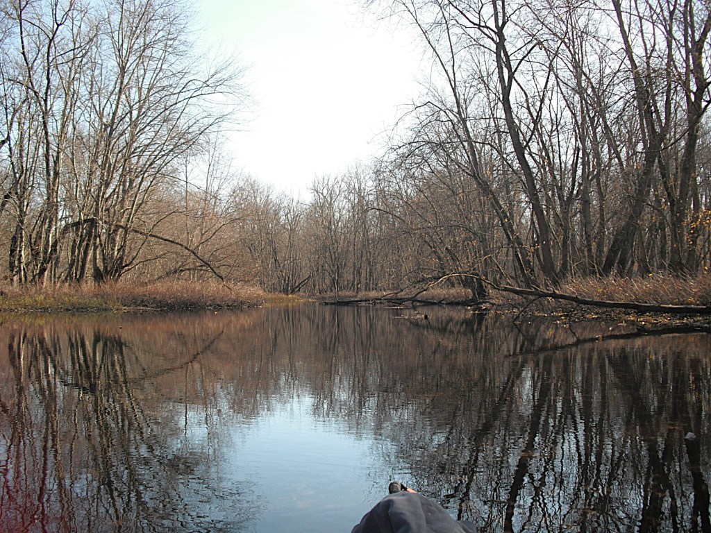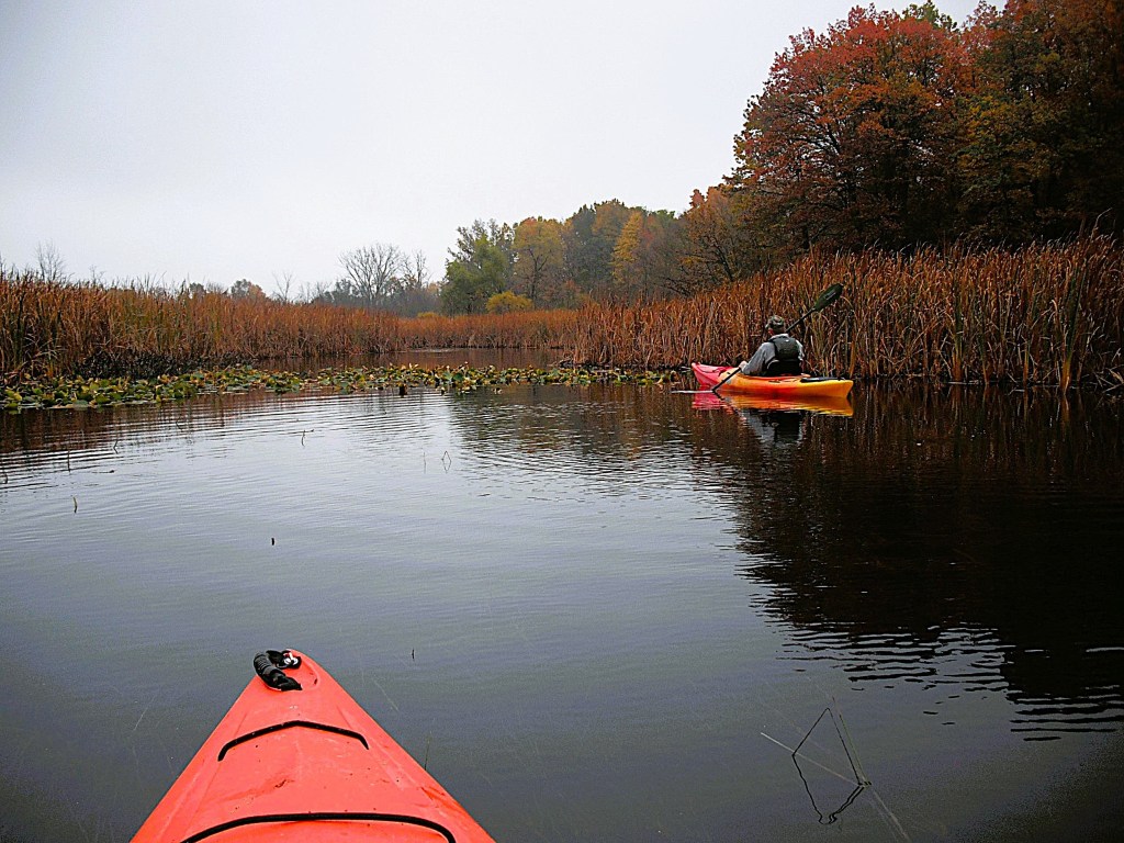
GOURDNECK CREEK, KALAMAZOO COUNTY, PORTAGE TO VICKSBURG

It was late October. It was raining while I was loading my kayak on top of my Jeep. The neighbors probably thought that I was a little nuts. I questioned my sanity, but the weatherman said it was going to be nice. I met up with my friend Dan at the Gourdneck State Game Area boat launch on Hogset Lake. The access site can be reached by heading north on a improved trail from U Avenue, between Oakland Drive and 18th Street. There is also a Hogset Lake access site at Prairieview County Park, also on U Avenue, between 18th Street and Portage Road. Dan’s son, Tyler, a budding outdoorsman, helped us with transportation in his Chevy Colorado 4X4. Thank you, Tyler!!

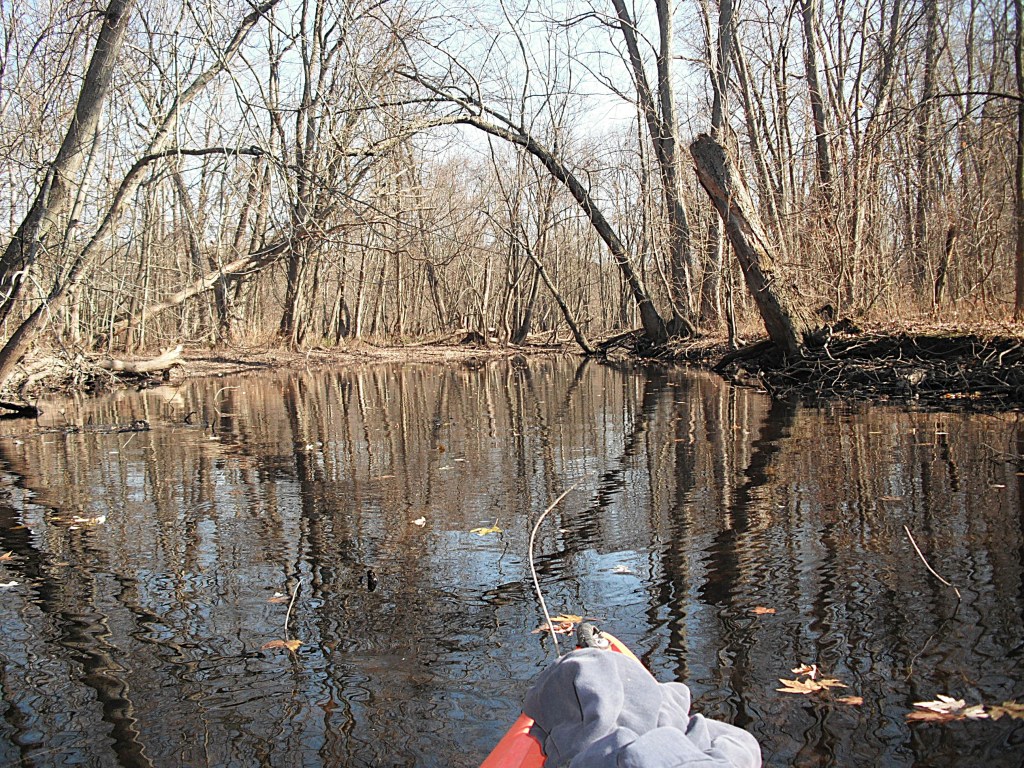
This voyage is for kayakers of all skill levels. However, there is a short stretch of the creek between Portage Road and 23rd Street that may deter paddlers from making this trip. Deep in a cattail marsh, the creek was blocked by a bunch of floating cattail islands. These islands broke away from the cattail bed and floated downstream, collecting in narrow spots. The cattail islands were packed tightly together and we could not force our way through. There were no openings in sight. Most sane people would turn around and go back, but not us. Quitting is for sissies.
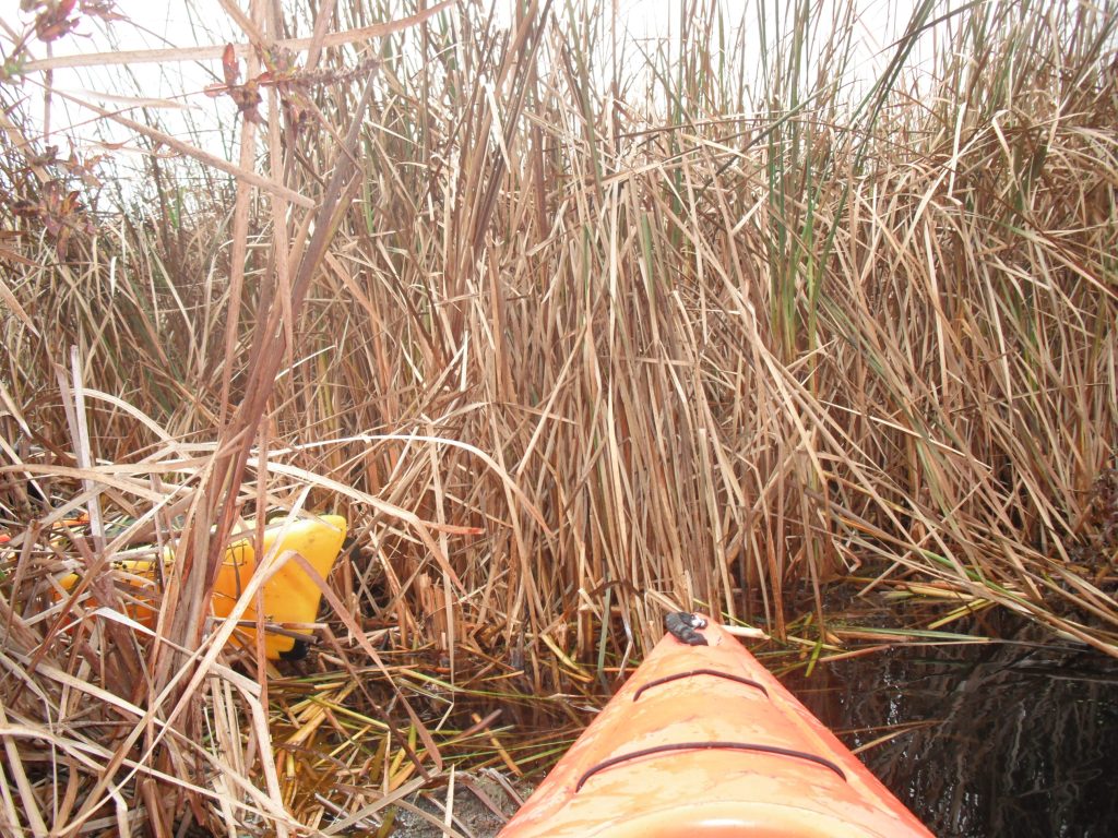
The only tactic that worked was to stay in our kayaks and go over the cattails by grabbing the cattail stalks on both sides of our kayaks, pulling our boats over them by hand. Dan is a youngster in his mid-fifties and is very agile. At one point, he got out of his kayak and stood on a slowly sinking cattail island and pulled his boat through! Once he got back in his kayak, he managed to reach over and pull my boat on top of the cattail clump, so I could pull myself through.
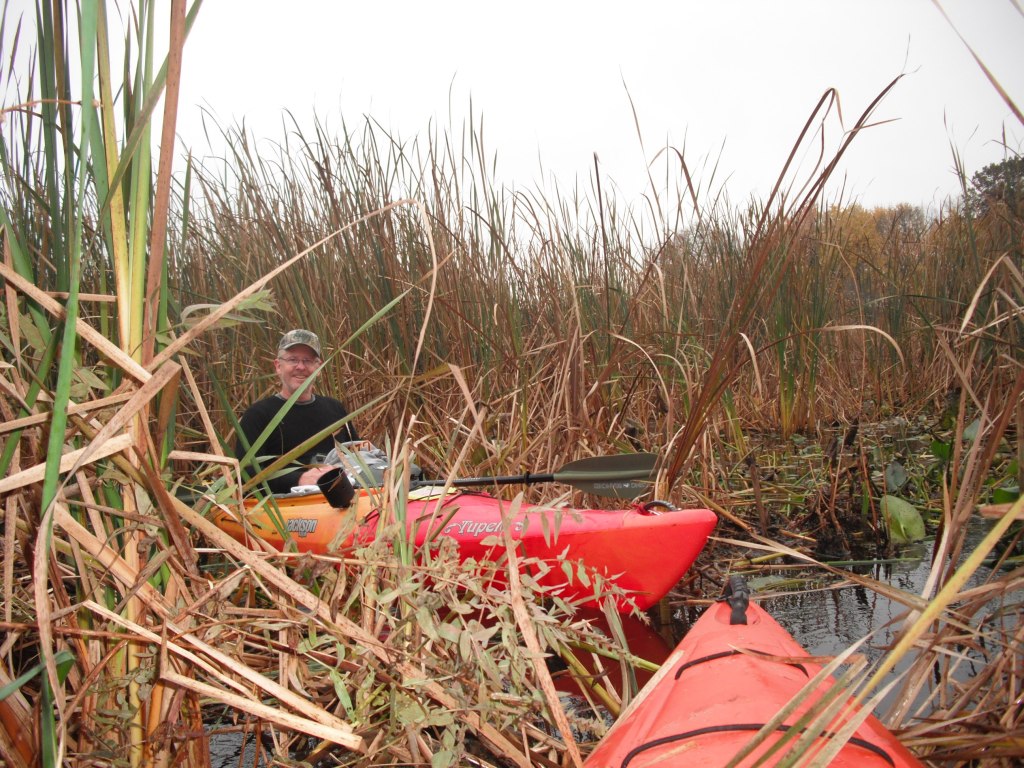
It was hard work and it took us a half hour to go forty feet. I want you to be aware of this creek blockage if you are planning to make this trip. These conditions may change over time. Maybe the creek will be open when you take this voyage.

Back to the start of the trip!
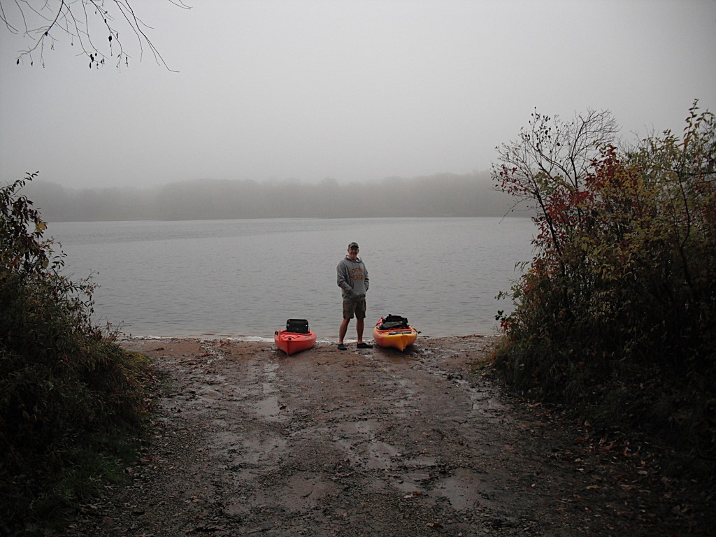
The temperature was a cool fifty degrees when we shoved off from the landing. The lake was shrouded in fog. The fog would gradually lift and the temperature would climb to a more comfortable seventy degrees by the end of our trip. We paddled Hogset Lake north to the channel that leads to Gourdneck Lake. Exiting the channel, we paddled east along the south shore of Gourdneck Lake to Gourdneck Creek.
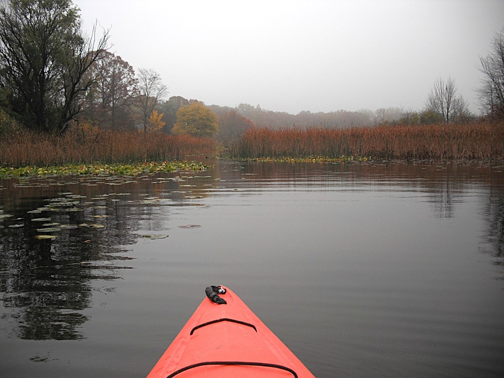
The north side of the creek, between Gourdneck Lake and Portage Road, is lined with homes. The south side is mostly undeveloped.

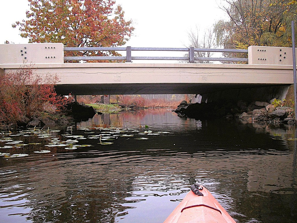
You can paddle under the Portage Road bridge with plenty of headroom.
Downstream from Portage Road, the creek flows through a cattail marsh.
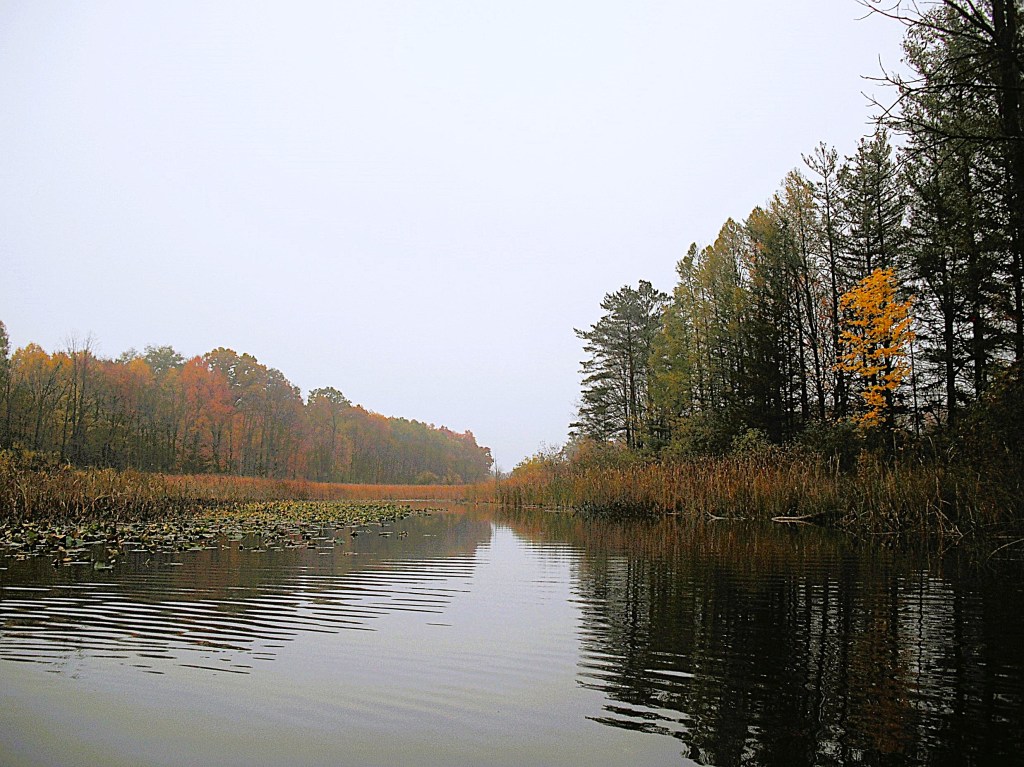
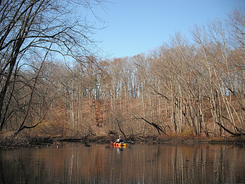
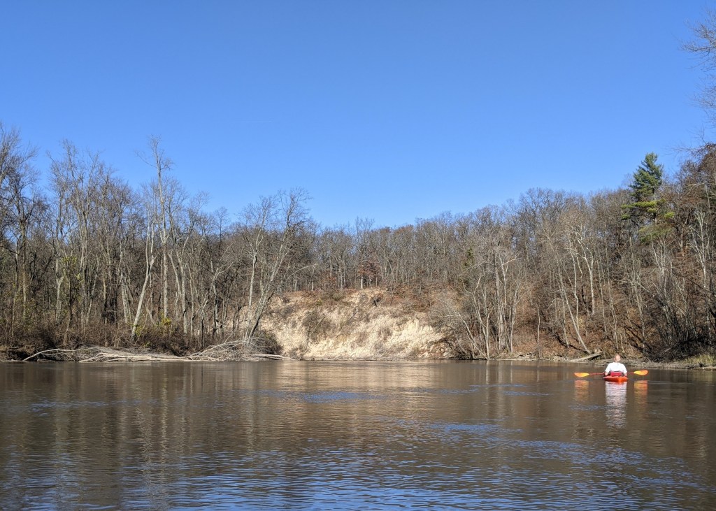
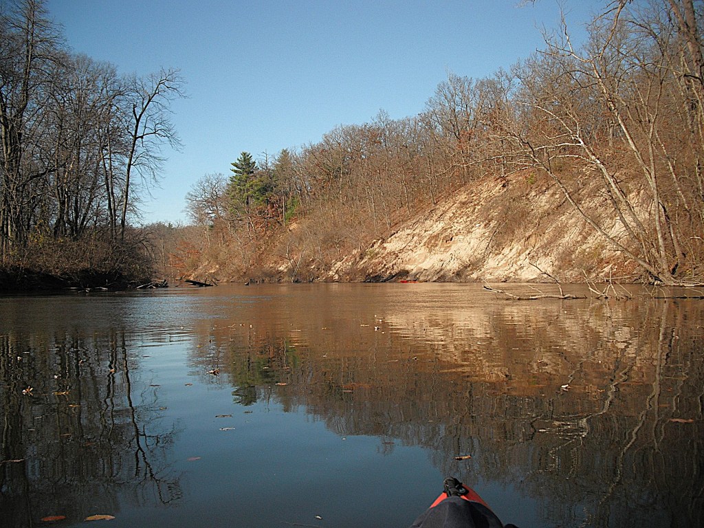
The marsh is bordered on each side by a wooded corridor.
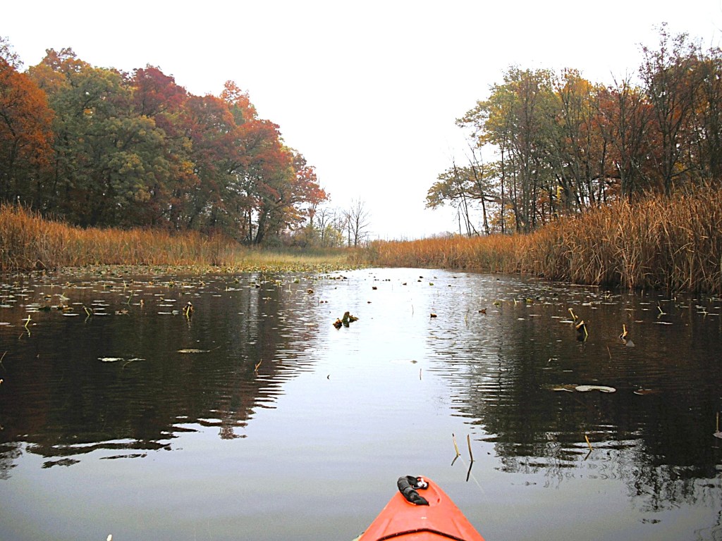
There is a drawbridge over the creek.
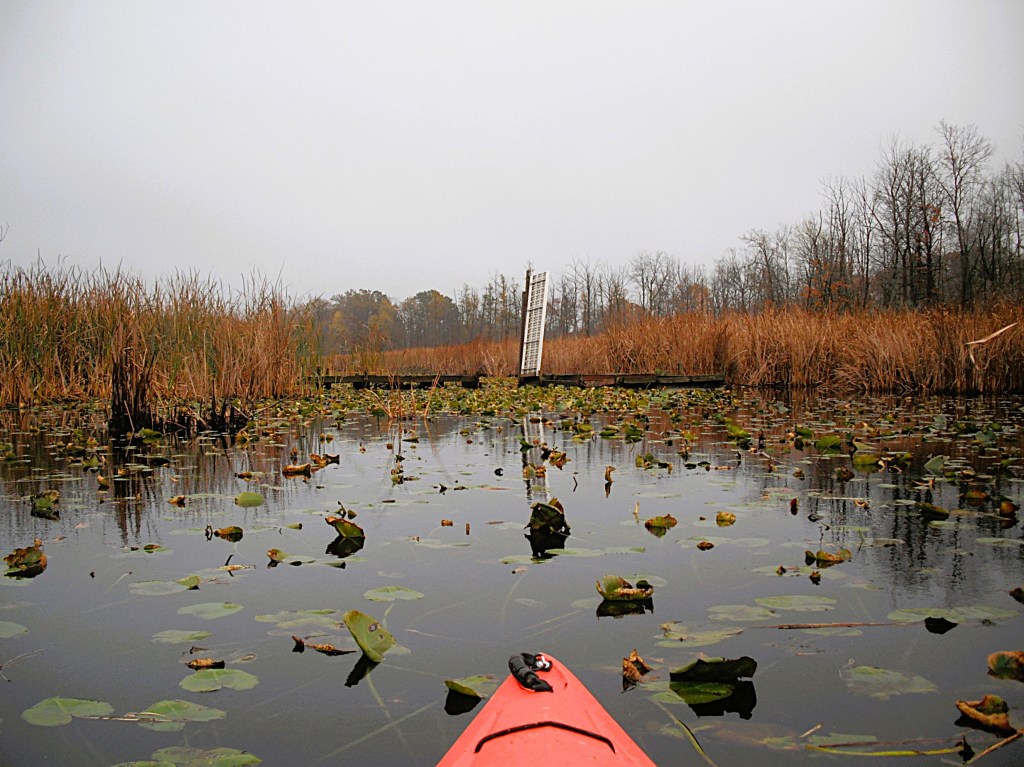
Parts of the creek are covered with lily pads. It was fall and the pads were disappearing. In summer, the creek is choked with pads, making the trip difficult.
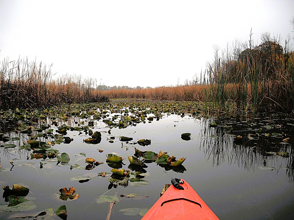
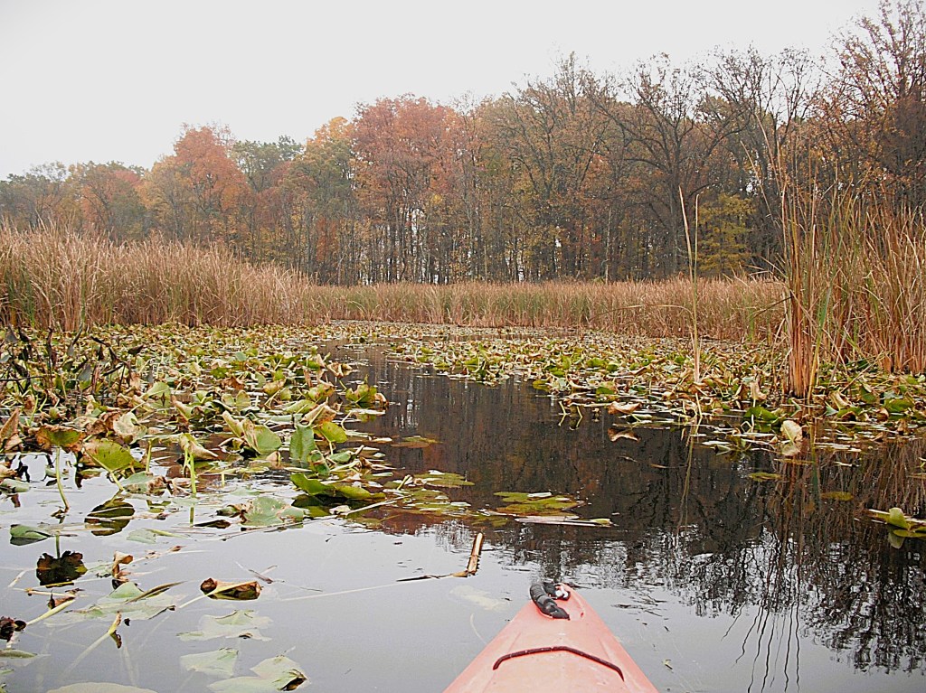
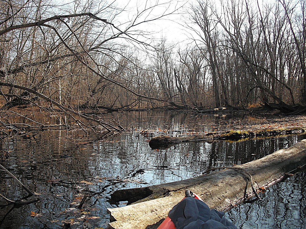
It was deep in this marsh that we encountered the channel that was blocked by floating cattail islands. After negotiating the blockage, we celebrated with a well deserved beer.

We continued through the marshland. The 23rd Street bridge was coming up.
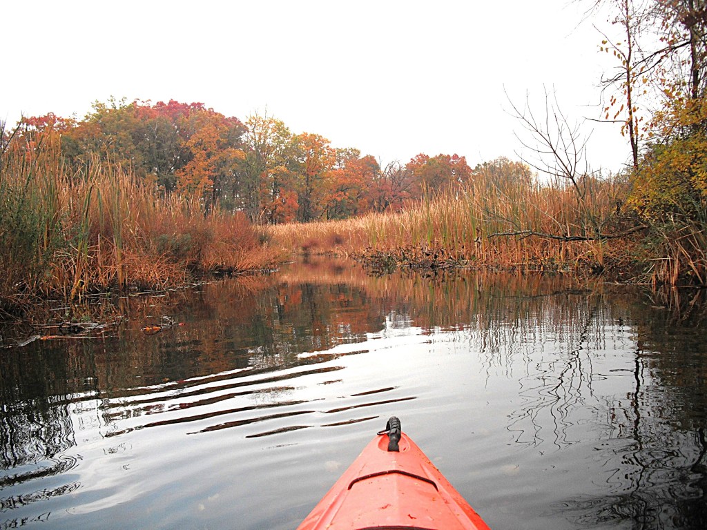
At the bridge, the banks on the side of the road are steep. The shoreline next to the bridge is covered with cattails and brush. Portaging was not an option.
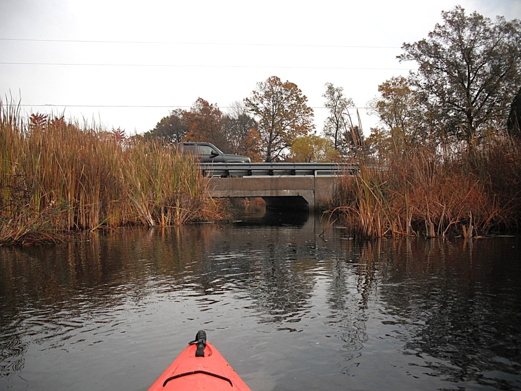
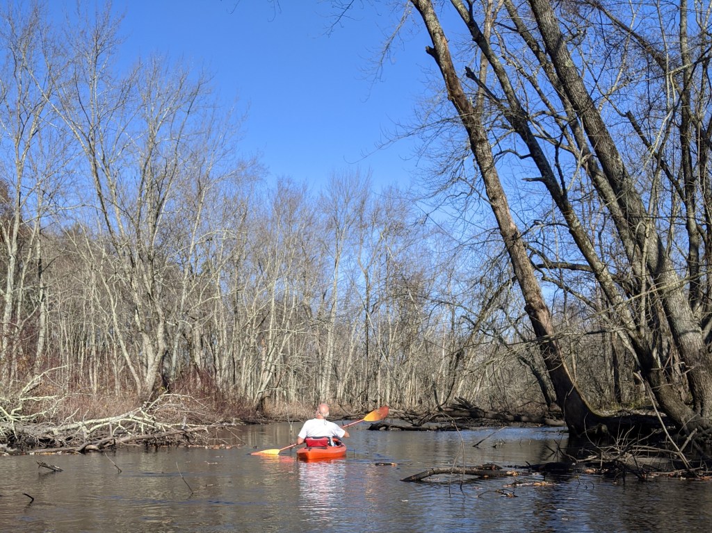
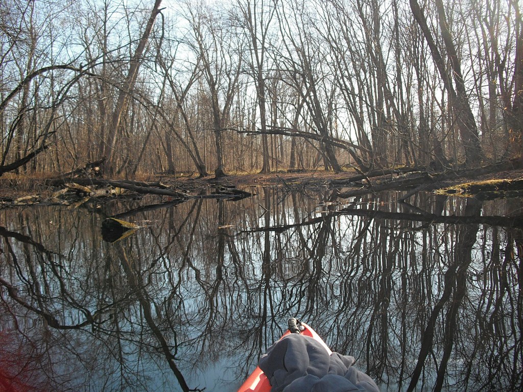
We slouched down in our kayaks and barely made it under the low bridge. During periods of high water levels, you may have to get out of your boat and wade it under the bridge. I did just that on a previous trip. Downstream from the bridge, we paddled by the backyards of a row of homes. Just past the homes, Austin Lake Drain joins Gourdneck Creek. Gourdneck Creek zig-zags between the wooded corridors on either side of the creek bottom.
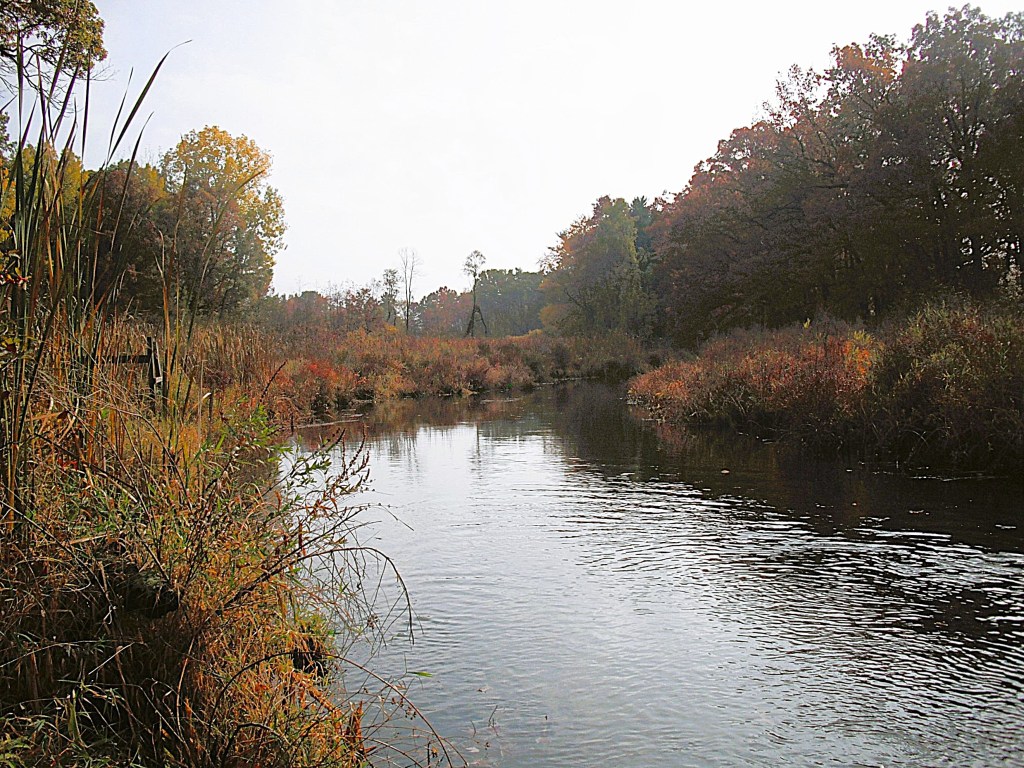
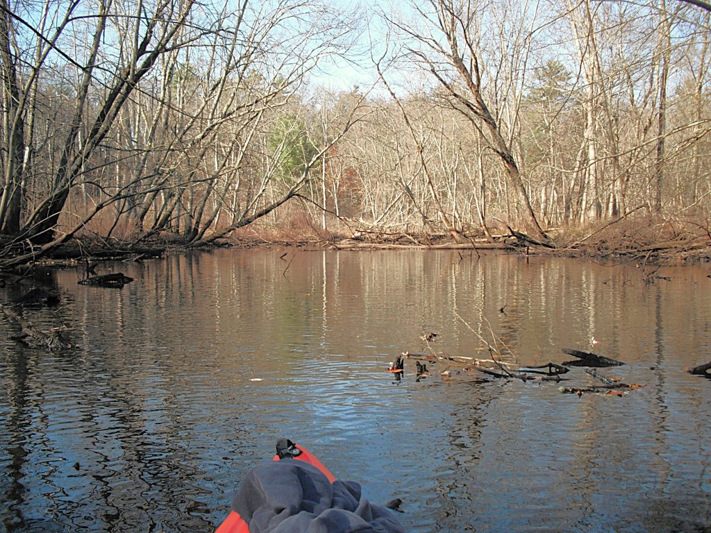
Next, the creek enters a huge cattail marsh.
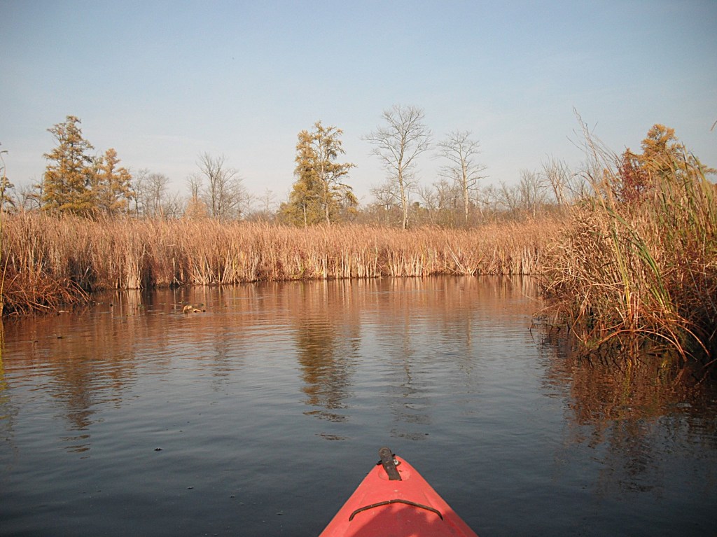
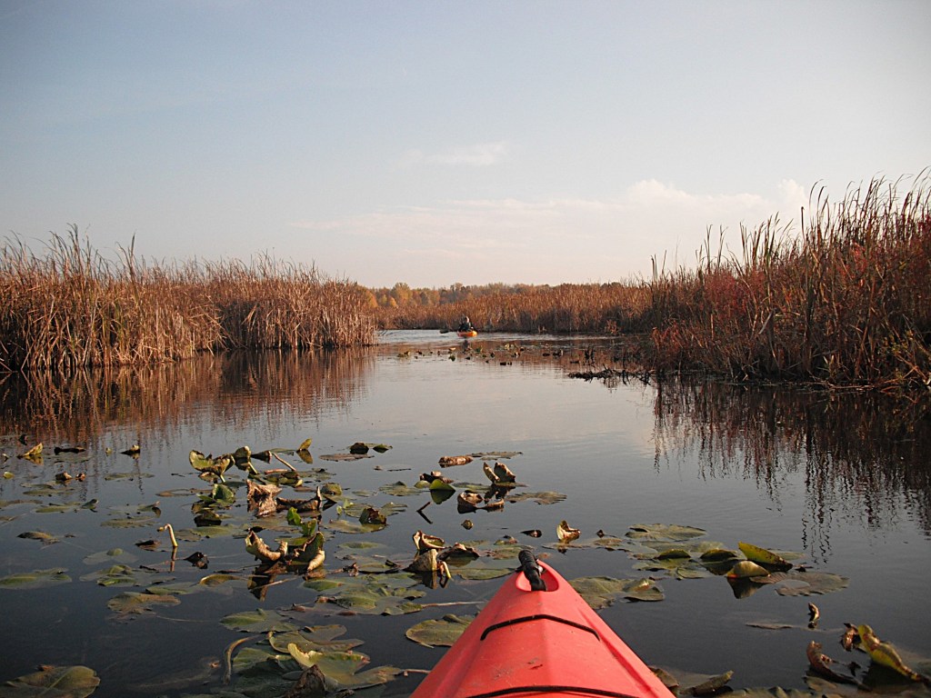
After a while, the current slowed to a stop and the creek widened as we entered the north end of Sunset Lake.
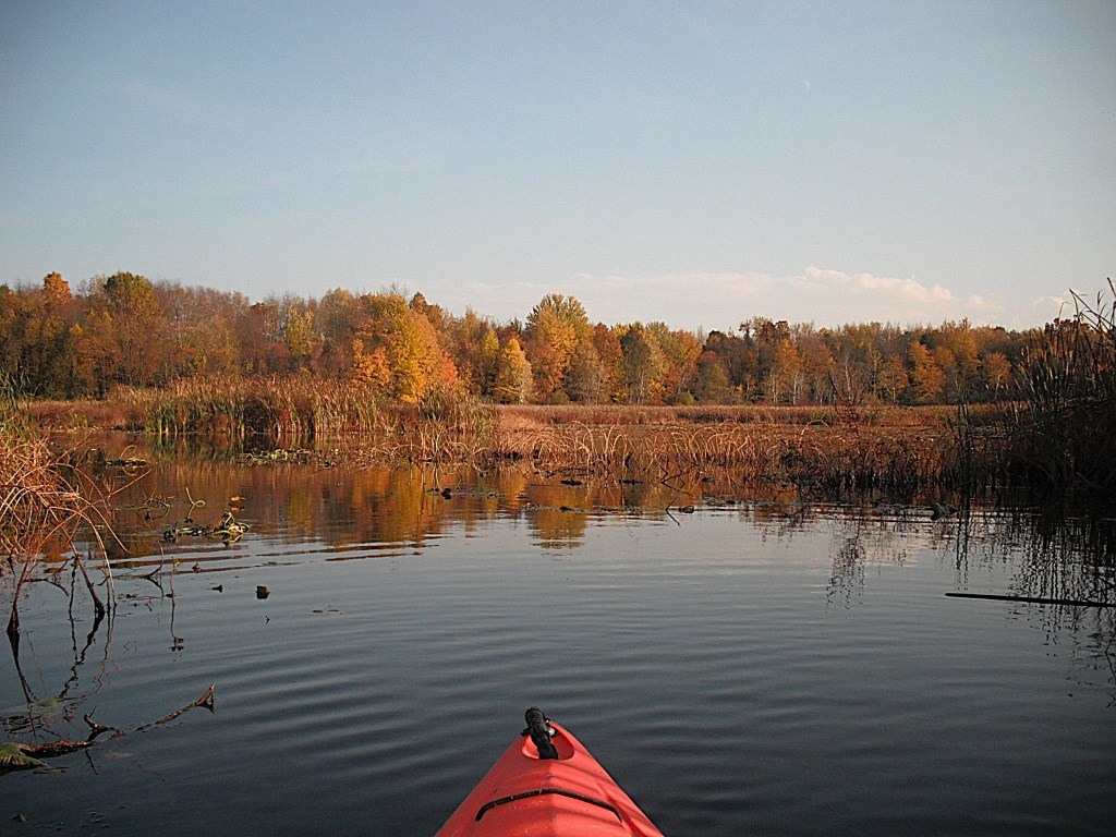
The long, narrow north end stretches for a mile and a quarter to the main basin of the lake.
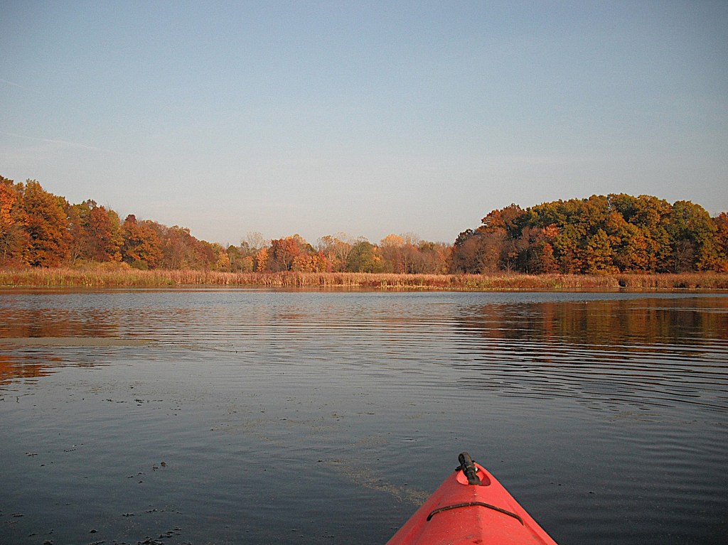
We paddled south along the west shore of the main basin to Sunset Lake Park, where we ended our trip.
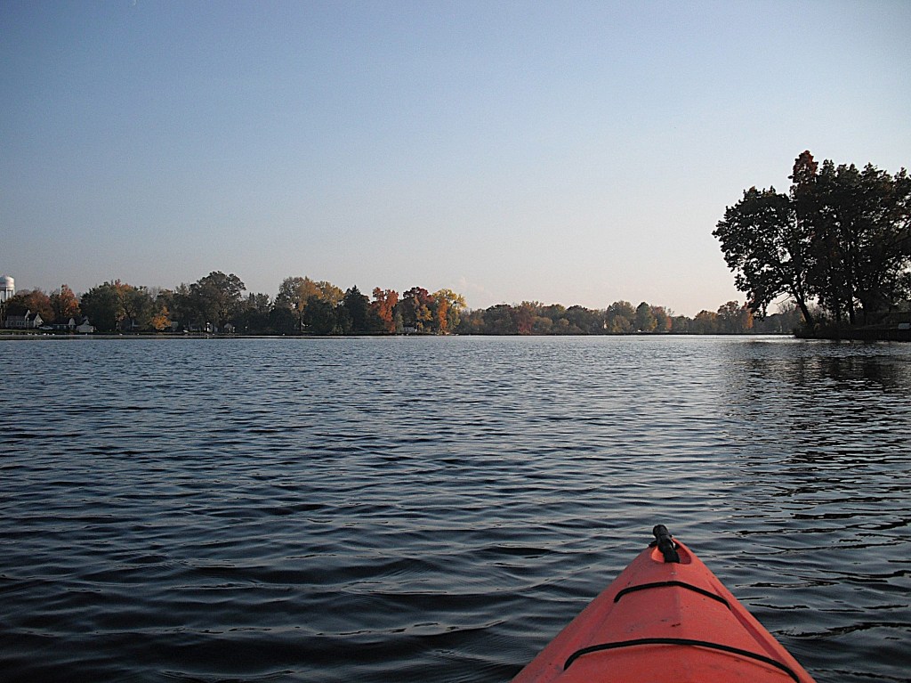
The blocked creek channel tested our kayaking skills and our determination got us through. We both agreed that this was one of our biggest challenges of the kayaking season. I could say that this trip is one of our favorites, but every trip is a favorite!
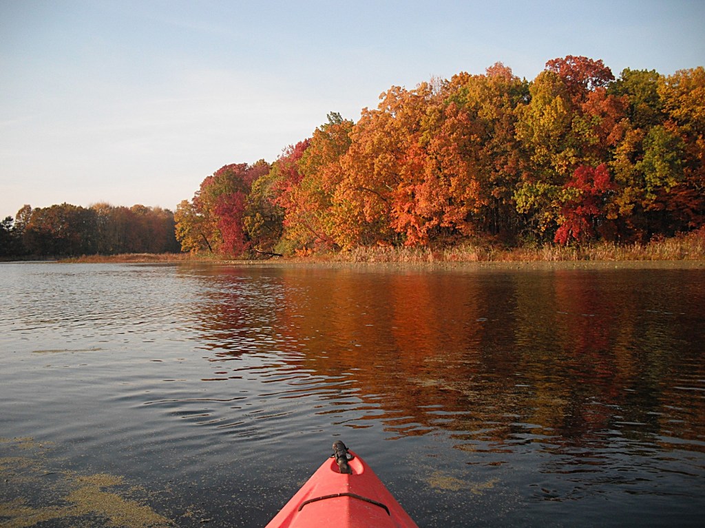
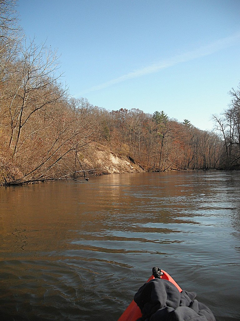
KALAMAZOO RIVER, ALLEGAN COUNTY, ALLEGAN DAM TO THE PIPELINE LANDING

It was early November and the forecast called for seventy degrees and sunny! My friend, Dan, is a enthusiastic paddler and he agreed that it was time for another river trip.

We decided on a stretch of the Kalamazoo River that flows through Allegan State Game Area, more commonly known as Allegan Forest. I think that you will enjoy this trip because of its remote location. There are only a few trails that penetrate the forest for river access. Even though the trees had lost their leaves, the scenery did not lose its beauty.

We started our voyage at Allegan Dam, also known as the Calkins Dam. The MDNR Access Site has a large parking lot, a vault toilet, and a boat ramp. Take Allegan Dam Road west from highway M89. That intersection is northwest of the city of Allegan. The dam is three miles from M89. The access site is on the east side of the river. The lake created by the dam is Lake Allegan.

The river is wide and flows basically northwest from the dam. The current is slow to moderate. This trip is suitable for all kayakers, regardless of skill level.

The first portion of this trip, between Allegan Dam and the M89 bridge, is bordered by large marshes on the west side of the river. M89 is also called 124th Avenue.

There is a wooded corridor between the marshes and the river along most of this stretch.

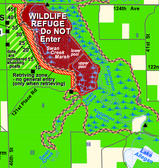
The first marsh downstream from the dam is the Koopman Marsh. Farther downriver, Swan Creek flows into the river from the southwest. Once you pass the creek mouth, you will notice a dike on the west side of the river that runs all the way to M89.

The dike was built to create the Swan Creek Marsh, better known as the Highbanks Marsh. A portion of Swan Creek is diverted to the marsh. Highway M89 serves as a dike on the north end of the marsh and is also the site of the marsh spillway. Steep hills mark the west side of the marsh. You will not be able to see the Highbanks Marsh from your kayak because of the height of the dike. The dike is posted: Wildlife Refuge, Do Not Enter. The MDNR keeps an eye on the dike and the marsh. On a previous trip, I was bold enough to get out of my boat, climb the dike, and view the marsh. It was a impressive sight, but I was in plain view and I was a little nervous about getting caught. We decided to stay in our kayaks.

The east side of this portion of the river, opposite the marshes, is wooded lowland. There are some scenic hills on the east side of the river as you get close to M89.

Sand Creek flows into the river from the north, just before the bridge.

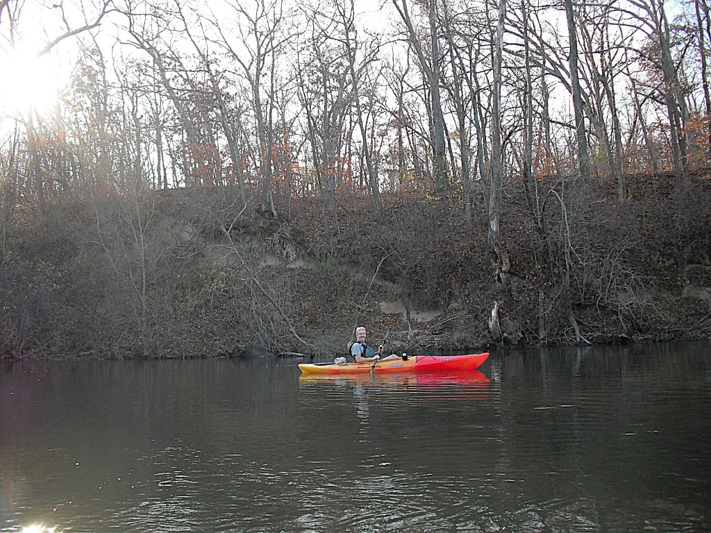
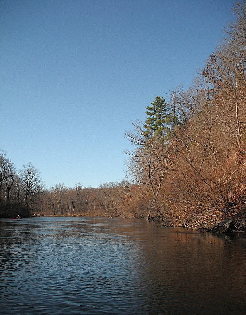
The next portion of the trip, from the M89 bridge to the Pipeline Landing, is wooded lowland punctuated by tall hills. After you pass under the M89 bridge, you will come to a tall, steep sand hill that rises up from the water’s edge.

Just before you get to the sand hill, on the same side of the river, there is a bayou to explore.

Downstream from the sand hill, on the south side of the river, is another bayou to explore. The Palmer Bayou flows north from the Highbanks Marsh dam to the Kalamazoo River. We paddled up the bayou almost all the way to the dam at M89. We were stopped by fallen trees.

We headed back down the bayou to the river.

Heading downriver, we encountered a second sand hill. It wasn’t as high as the first one, but it was longer and just as steep.

Just like the last sand hill, there was a bayou to explore.

After passing this second sand hill, Bear Creek flows into the river from the north.

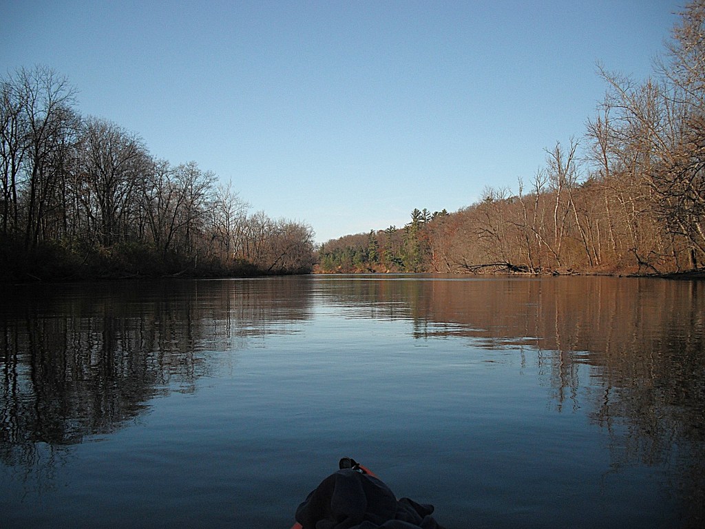
The river continues to meander through the forest. It was late afternoon and the shadows were getting long.

Soon, you will arrive at a petroleum pipeline that crosses under the river. The pipeline is marked by dilapidated signs on the shore. Past the pipeline and two river bends is the MDNR Pipeline Landing, on the south side of the river. The landing is at the beginning of a long straight stretch of the river. It marks the end of your trip.

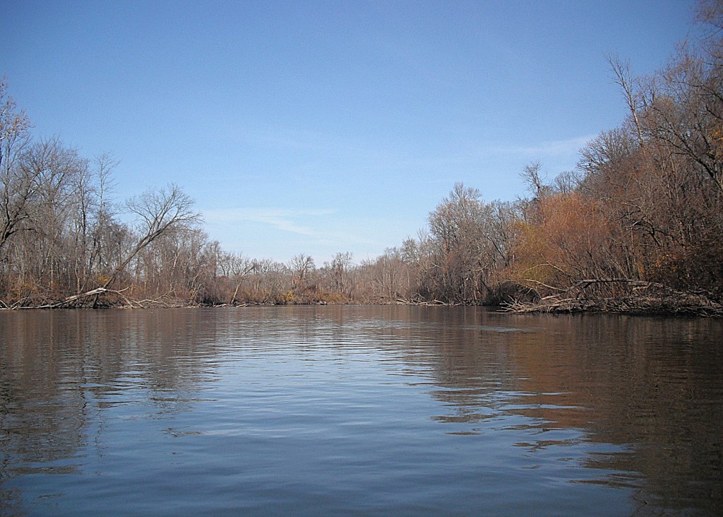
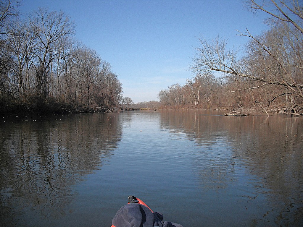
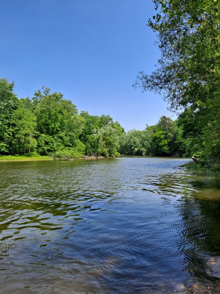
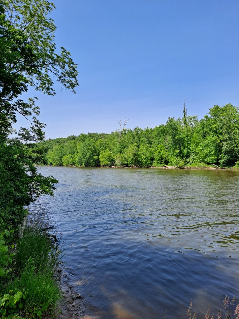
These are views from the landing during June.

The Pipeline Landing is easy to find by vehicle. Turn north on 46th Street from highway M89. That intersection is a half mile west of the M89 bridge over the Kalamazoo River and nine miles east of the village of Fennville. When you come to a petroleum pipeline, the road curves to the west and is called 126th Avenue. Two hundred yards west of the pipeline, there is a unimproved trail that heads north from 126th Avenue to the primitive landing. 46th Street and 126th Avenue are seasonal county roads.

This remote section of the Kalamazoo River and its bayous rewards kayakers with solitude and beautiful scenery.