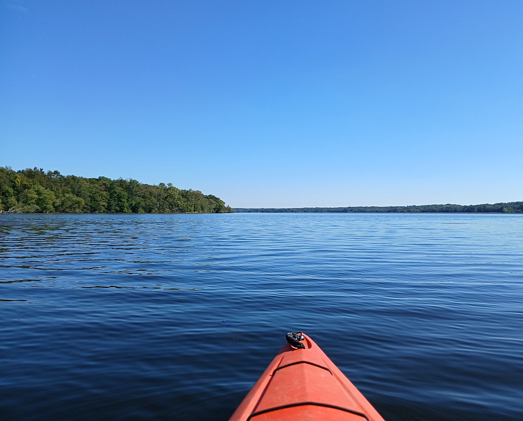
In November of 2019, Morrow Lake was drained for dam repair. The draw down was improperly done and tons of sediment were washed down the river, creating a environmental nightmare. The exposed lake bed was soon covered with vegetation.
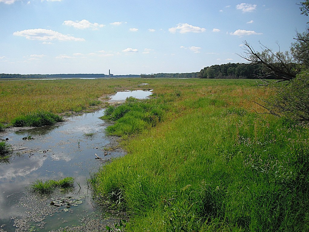
When the lake was filled in the spring of 2021, much of it was covered with aquatic vegetation.
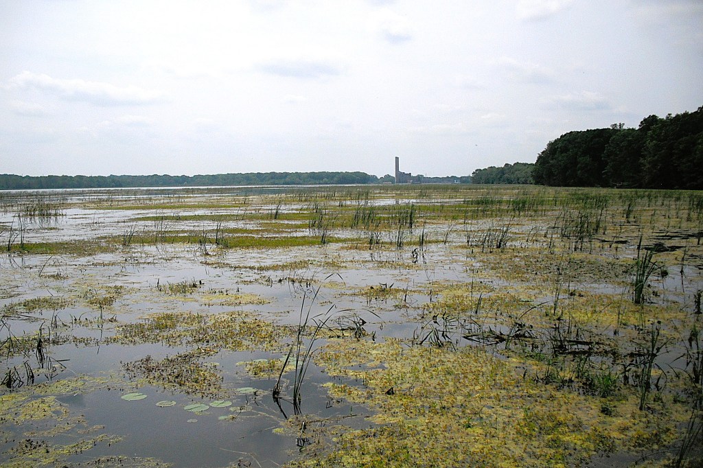
By 2025, about half of the lake had recovered from the draw down. The other half of the lake is still choked with vegetation. The areas of the lake that are covered with vegetation were once open water.
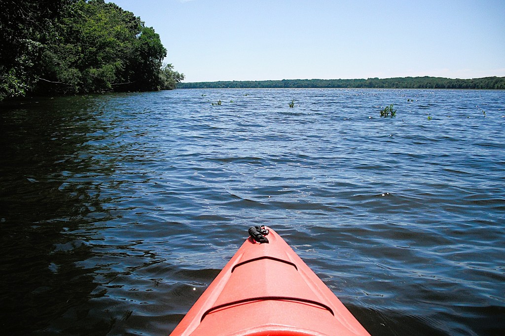
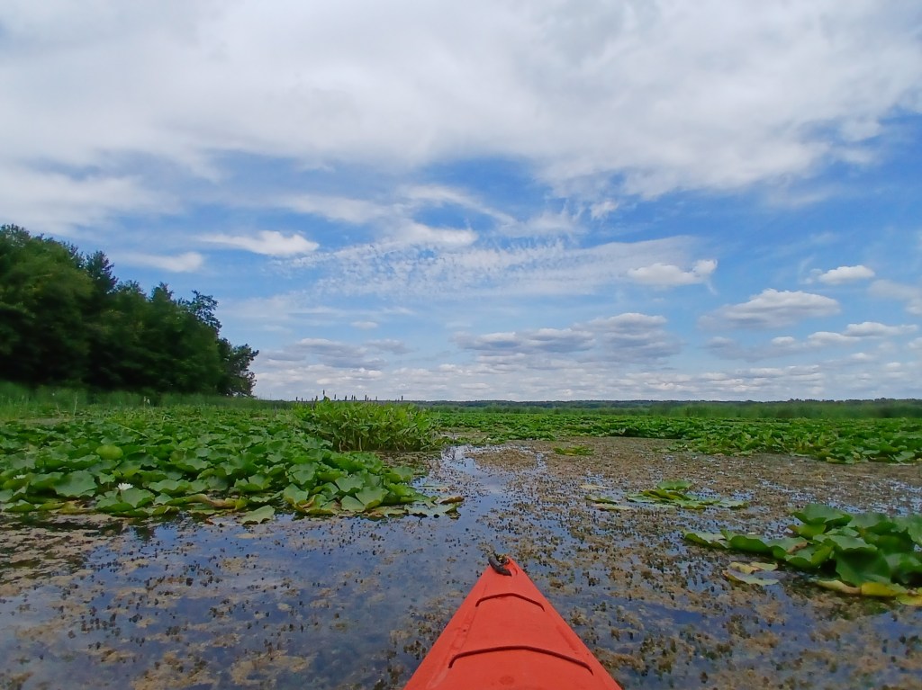
This voyage begins by paddling the Kalamazoo River from Galesburg to Morrow Lake. Exploring Morrow Lake can be divided into two parts. The east end of the lake features many islands and channels. The west end of the lake is the main basin. In order to see everything that there is to see, I recommend making two separate trips. If you’re a fast paddler taking a direct route, then one trip will suffice. After reading this post, you’ll be able to formulate a plan that is best for you.
Let’s get to the start of the trip! Galesburg Community Park is located behind Galesburg City Hall on Michigan Avenue. The Kalamazoo River boat landing is at the south end of the park, at the end of a gravel road.
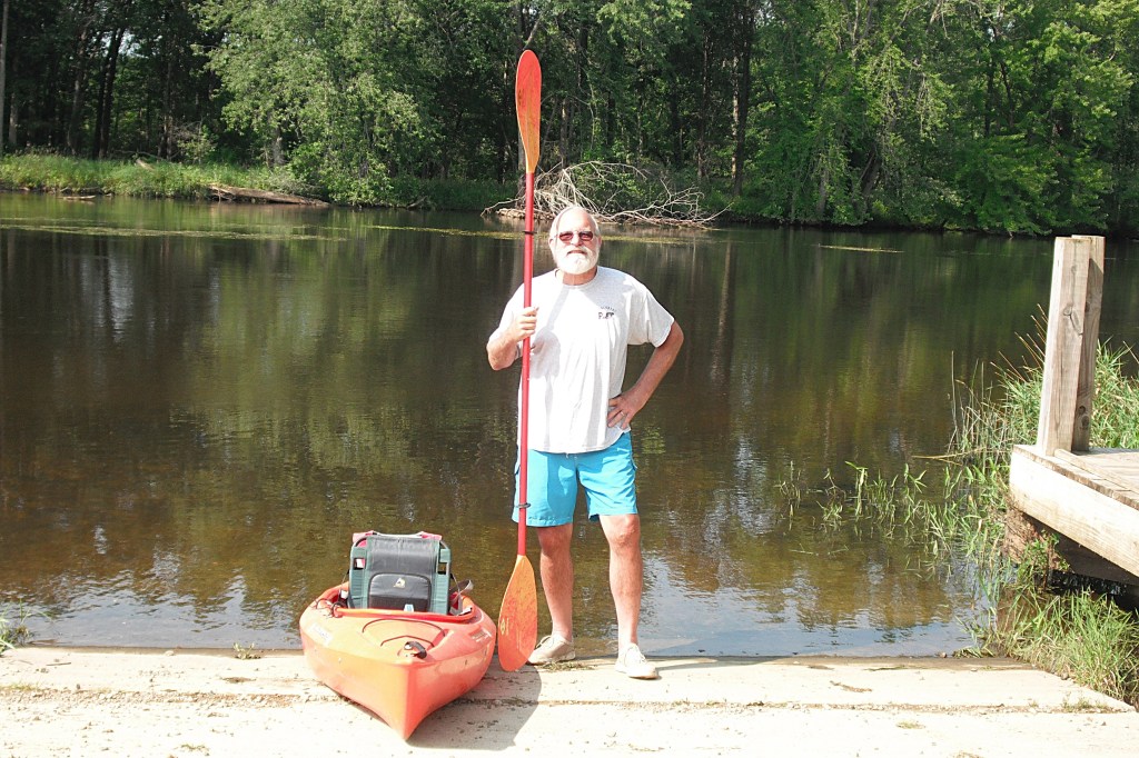
The river winds its way toward Morrow Lake at a moderate pace. The river corridor is wooded and there are only a few homes on the river bank.
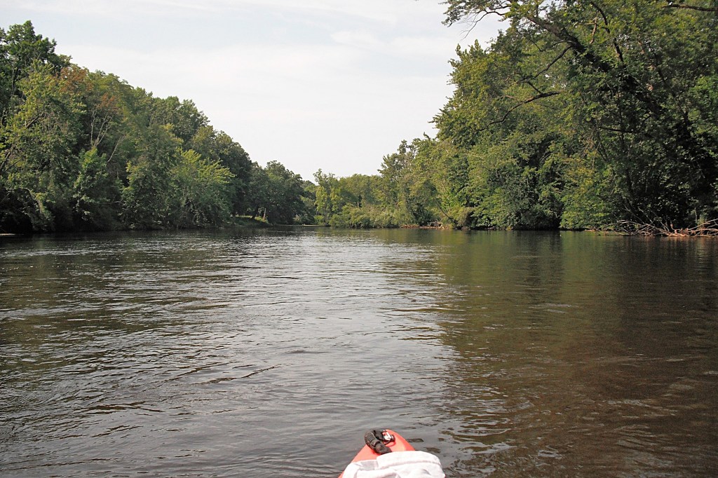
There are two islands on this stretch of the Kalamazoo. The first one is so small that if you blink, you’ll miss it.
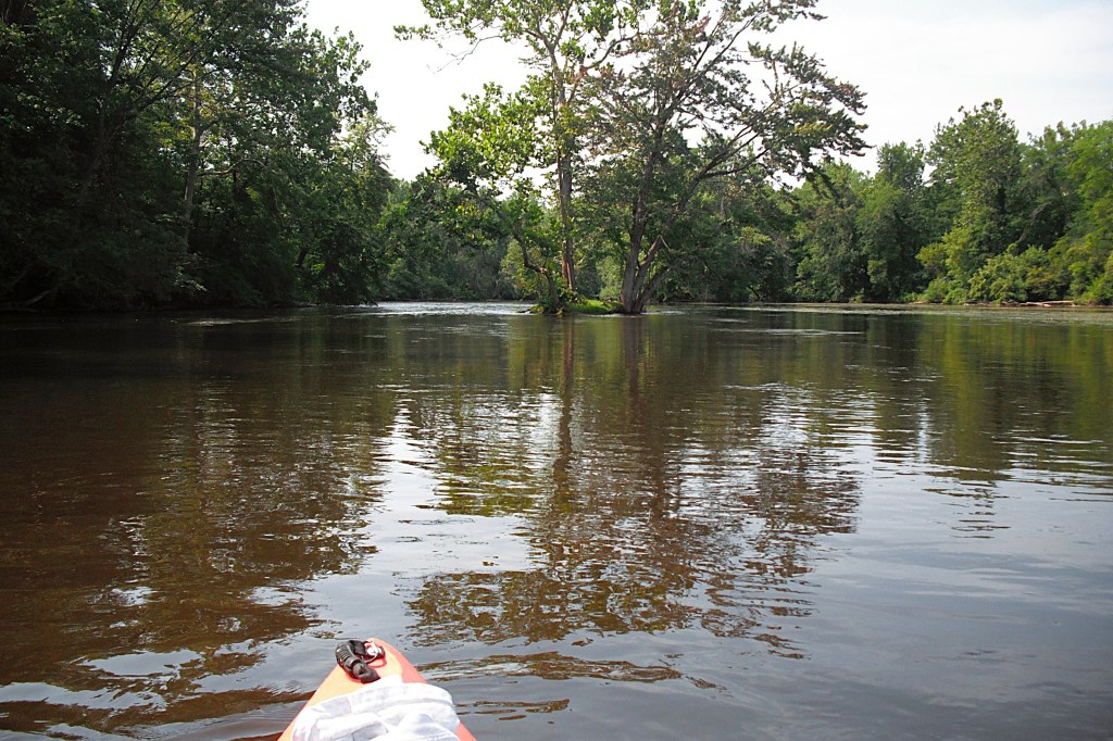
The second one is quite large and the river channels are navigable on both sides of the island.
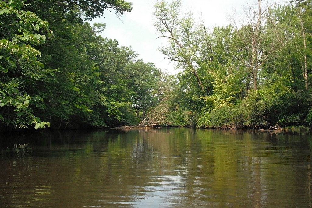
Past the islands, the river travels under the 35th Street bridge. Downstream from the bridge, the river enters the delta region of Morrow Lake. The main river channel runs west through the north side of the delta to the main basin of the lake.
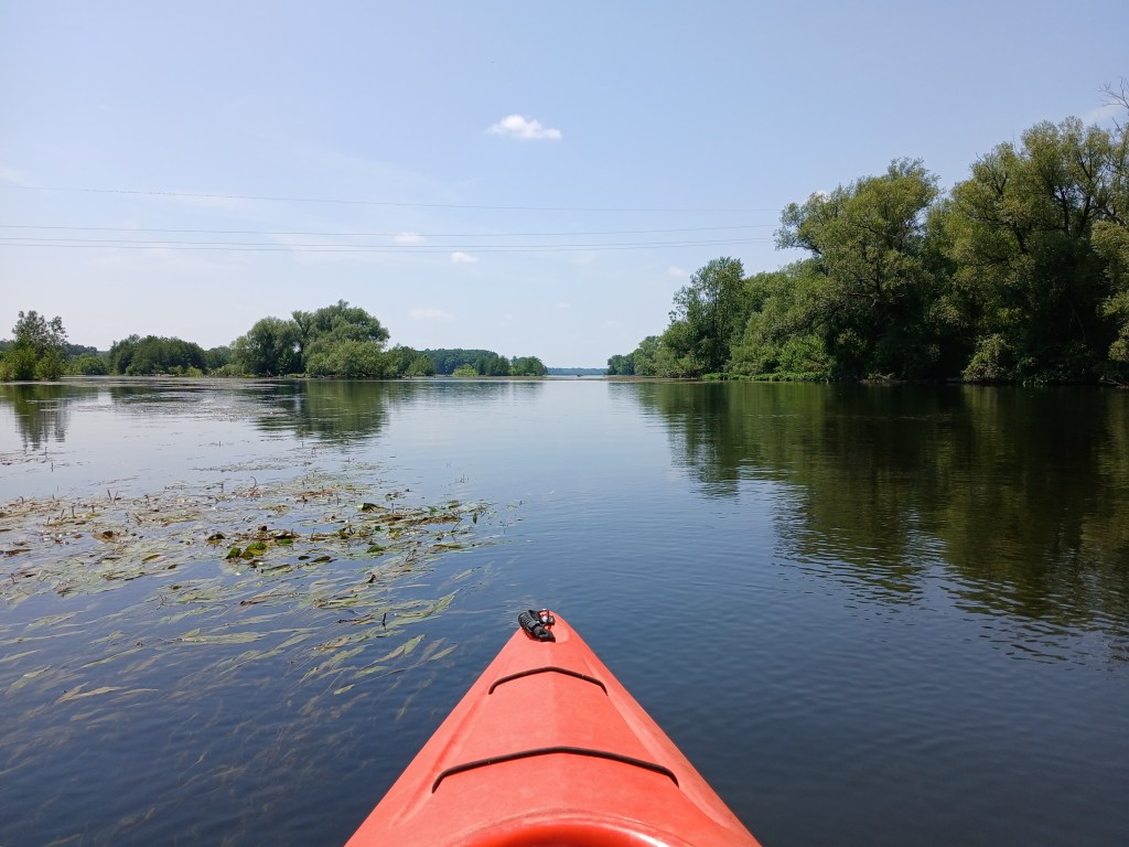
The many islands of the delta area are south of the main channel. The delta is a little over a mile long and is about a quarter mile wide. When exploring the channels around the islands, be mindful of shallow water. I ran aground several times.
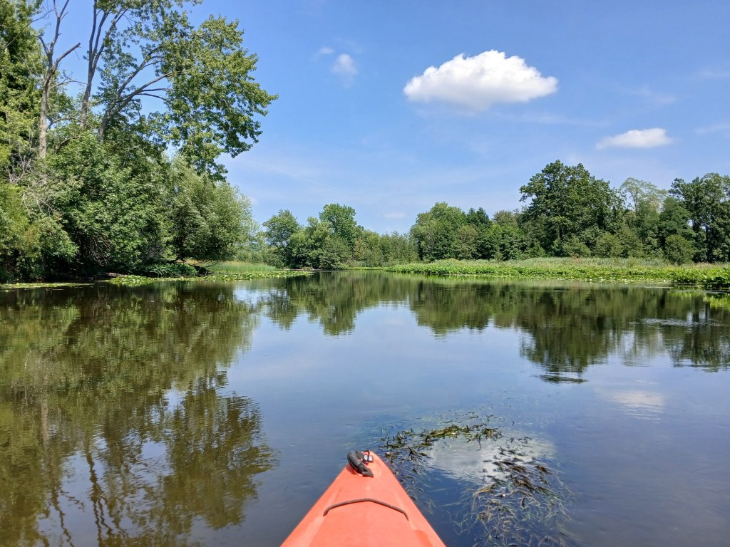
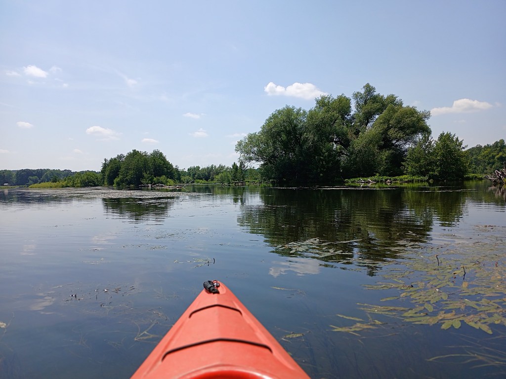
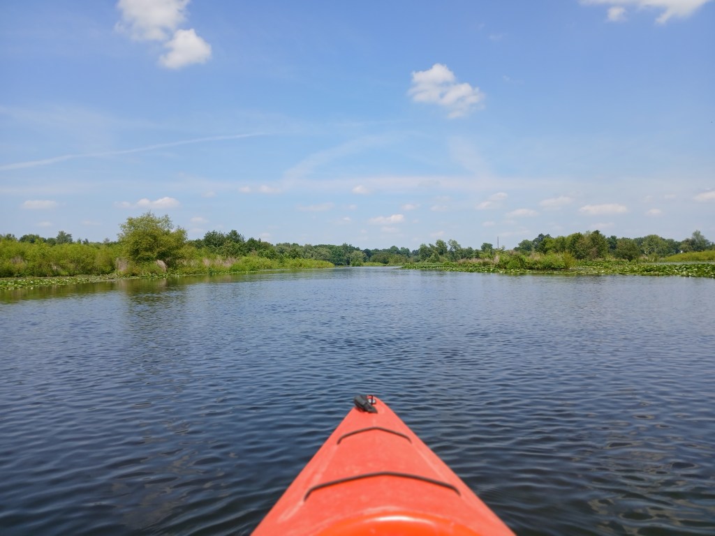
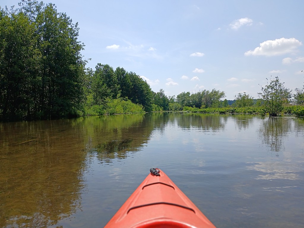
There are three small islands that mark the end of the delta and the beginning of the main basin. One island is next to the north shore at the River Oaks County Park boat ramp. The other two islands are next to each other and next to the south shore. The channel between the north island and the two south islands is about two hundred yards wide. The channels around the two south islands are covered with vegetation.
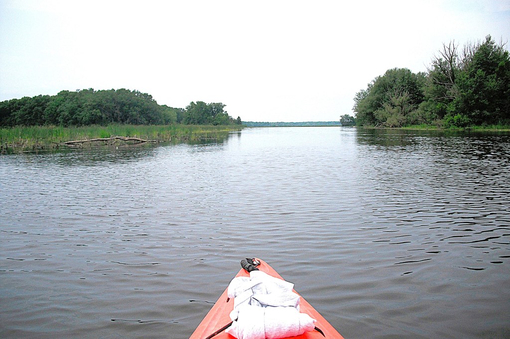
I paddled around the two south islands. It looks like solid ground, but there was just enough water to float my kayak. These two photos were taken quite a few years ago. Now, this water trail may be too overgrown to paddle:


This view is looking east from the main basin toward the channel.
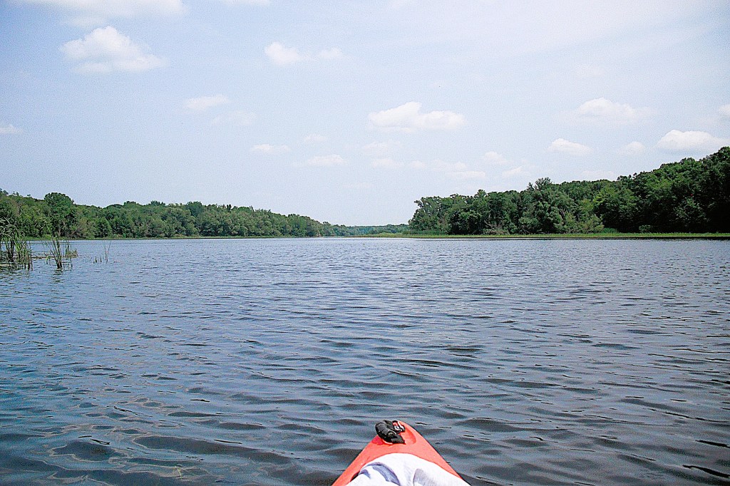
The trip ends at either of two boat landings. The River Oaks County Park lake access is on the north shore at the east end of the main basin. The boat ramp is hidden from view by a small island. This is the north island that was mentioned earlier.

The MDNR lake access is farther west, on the north shore. The boat ramp is straight north from Rowe Island, the only island on the main basin.
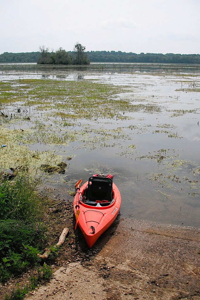
If you’re interested in a trip without vehicle spotting, launch your kayak at River Oaks, head east and explore the delta, and return to River Oaks. I have used this option a few times myself.
The entrance to River Oaks is on the south side of Highway M96, just west of Galesburg. Follow the park signs to the boat landing.
For the MDNR landing, head south on Rosemont Road from Highway M96, about halfway between Comstock and Galesburg. The boat ramp is at the end of the road, on Plaza Avenue.
MORROW LAKE MAIN BASIN
I’ve never paddled the shoreline of the main basin, so I revisited Morrow Lake in July of 2026 for further exploration. I recount my trip to give you an honest picture of what you can expect when you visit the main basin. Kayakers may not like paddling the lake during summer because of the vegetation. Early spring or late fall may be a better option. You may like a different itinerary than the one that I chose.
I used the River Oaks County Park boat landing. Modern restrooms and secure parking made it a good choice.
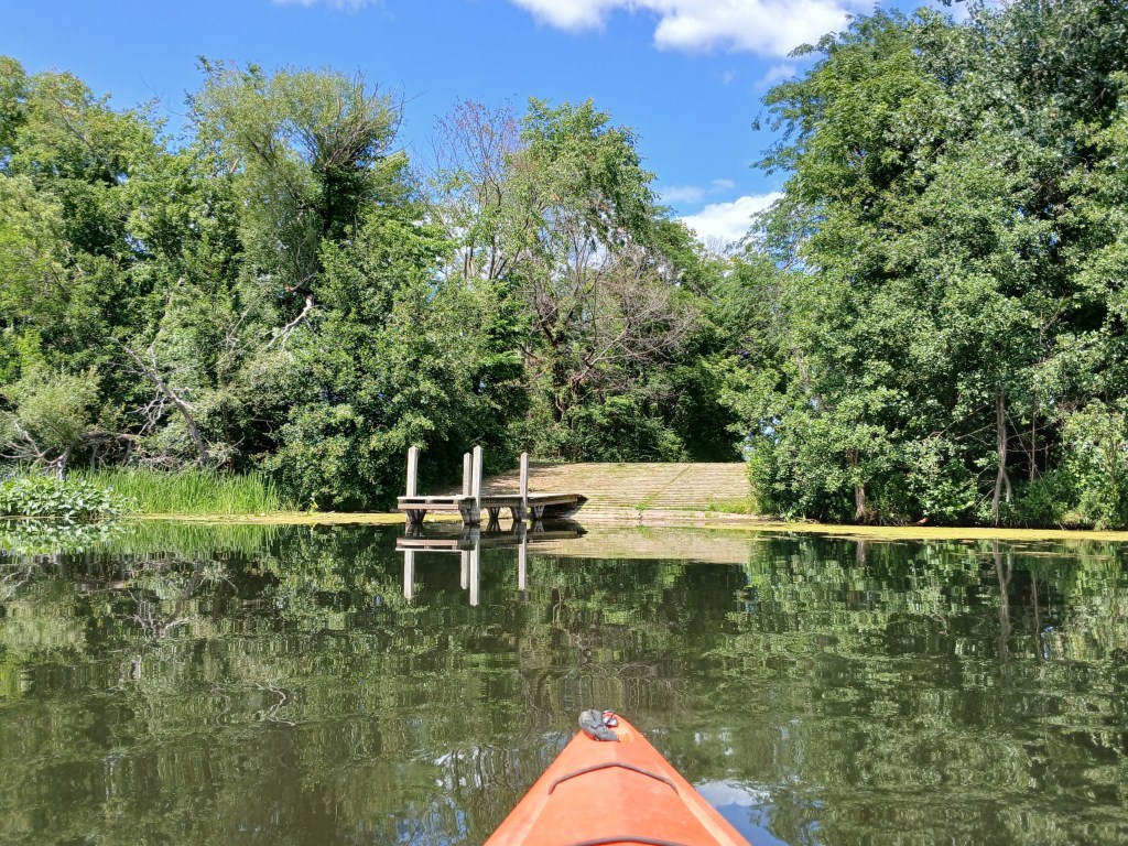
I began my voyage by paddling south to the opposite shore.
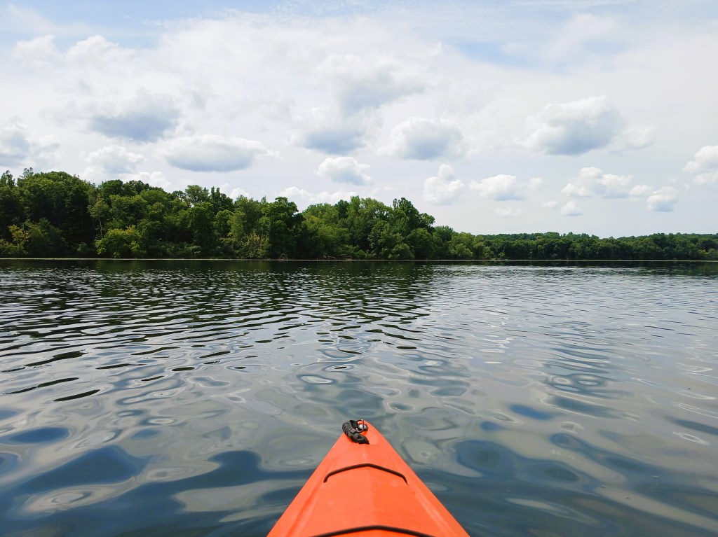
I followed the shoreline as it curved to the west.
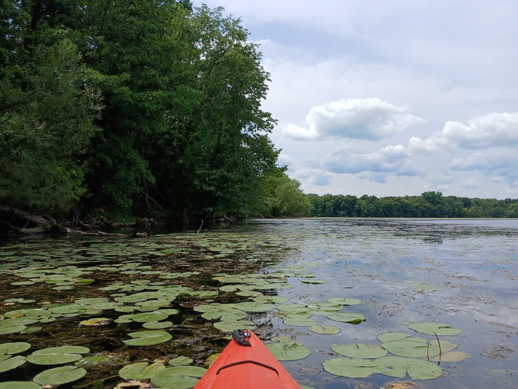
On the south side of some lakes, shade along the shoreline prevents aquatic vegetation from growing. This leaves a narrow pathway for kayakers to follow. I was hoping that this would be the case on Morrow Lake and it was.
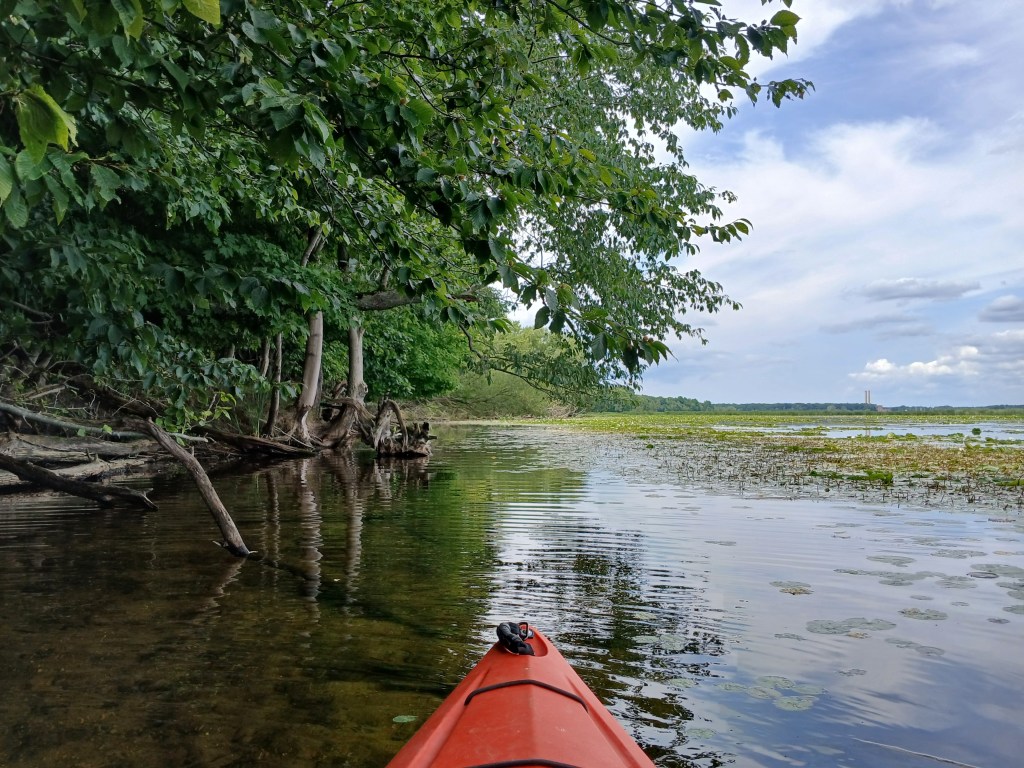
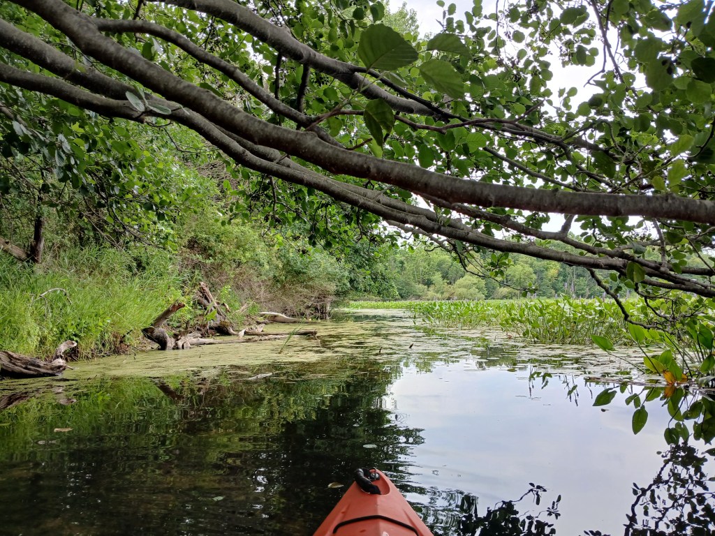
I wanted to follow the south shore all the way to the west end of the lake. However, after a while, the water trail gradually began to disappear.
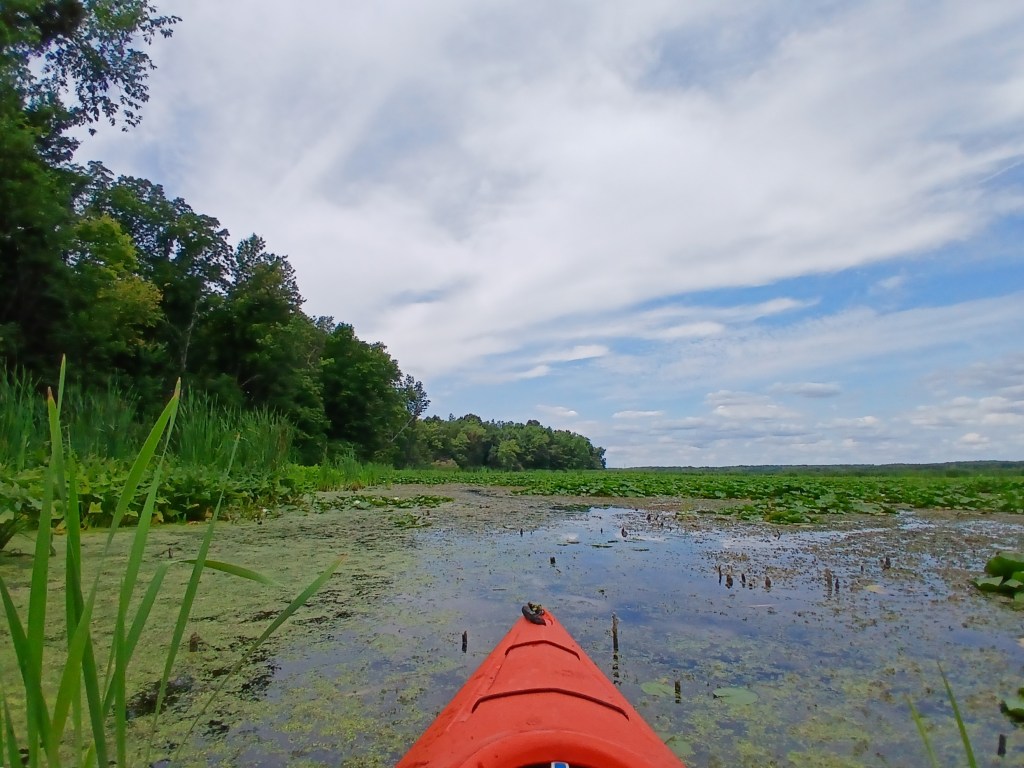
Eventually, my progress was stopped by a thick field of cattails, lily pads, and other vegetation. Exploring doesn’t always have the desired outcome.
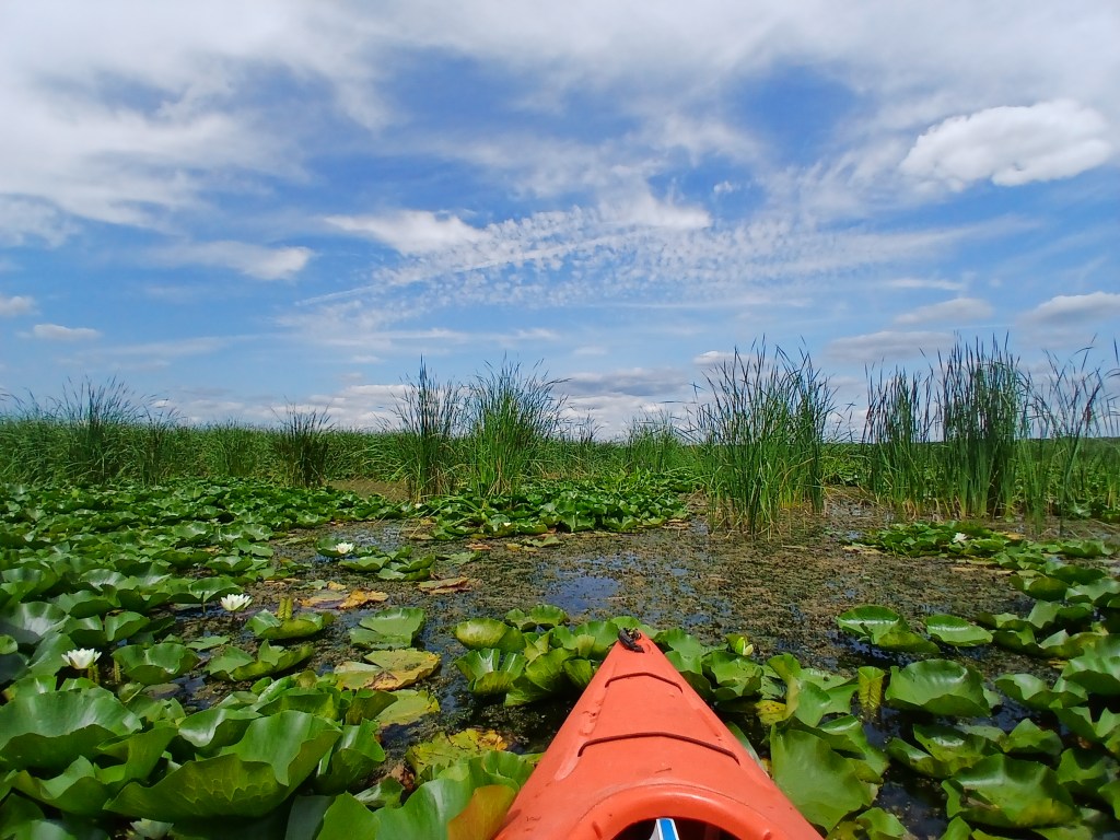
I reluctantly turned around and retreated. I tried to take a shortcut across the mouth of a bay, but I was stopped short of my goal by thick vegetation. If you’ve never paddled through thick stuff like this, don’t try. It’s not worth it.
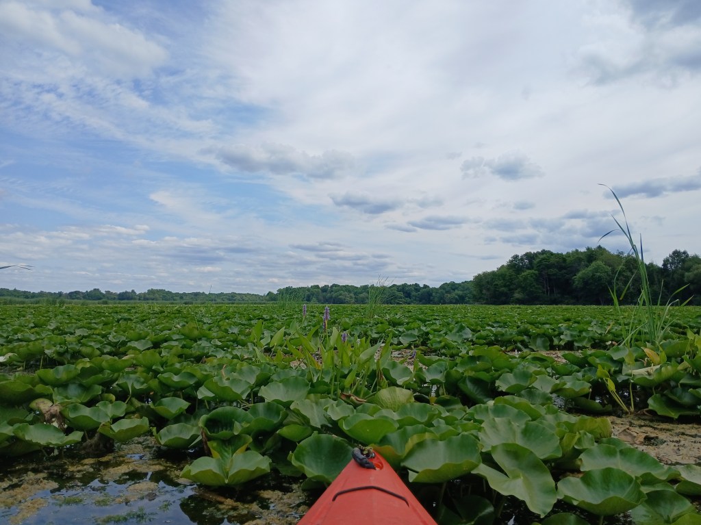
I returned to the shoreline and continued east, then northeast. Finally, I reached open water.
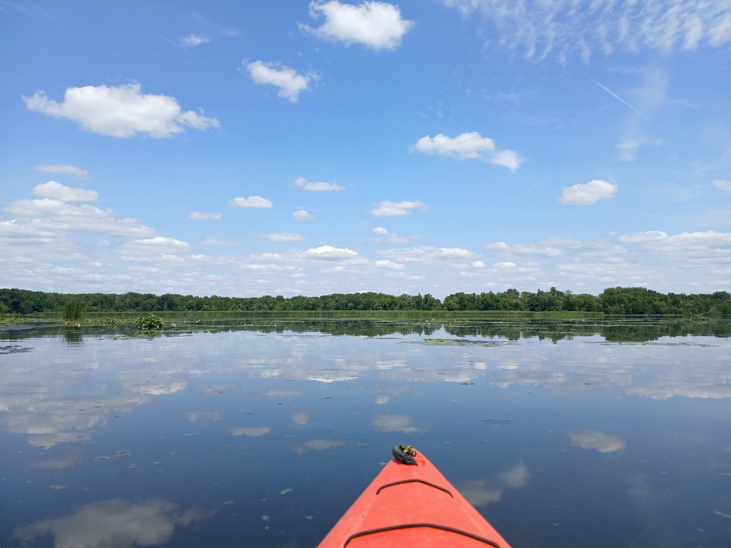
I paddled west along the north side of the cattails. The immense area of the cattail bed seemed to take up the south quarter of the main basin.
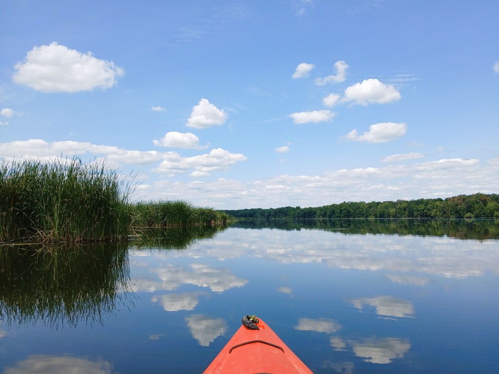
I reached a vantage point that enabled me to see far ahead. The cattail bed stretched all the way to the dam.
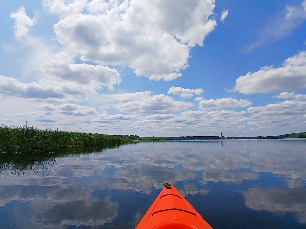
I had two choices: Option one – follow the edge of the cattail bed west to the dam and explore the west half of the main basin. Option two – head north to the opposite shore and finish exploring the east half of the main basin. I decided to save the west half of the basin for a later trip, so I turned north. I stopped on the west side of Rowe Island to get out of my kayak and take a break. The island isn’t exactly picturesque.
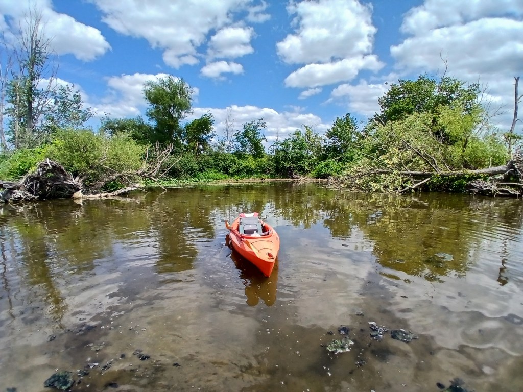
Looking north from the island reveals a small speck of gravel on the shoreline that is the MDNR Morrow Lake Access. Information for this landing was mentioned earlier in this post. This is a good alternative landing if you choose a different itinerary than the one that I chose.
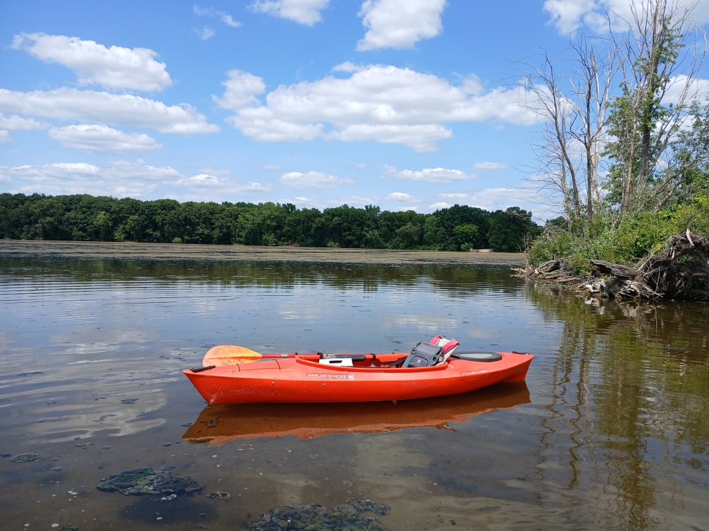
From Rowe Island, you can head west along the wooded north shore or you can follow the north shore east toward River Oaks Park. Since I decided to take the west route on a later date, I went with the east route. I was tired of slogging through thick vegetation, so I stayed in relatively open water.
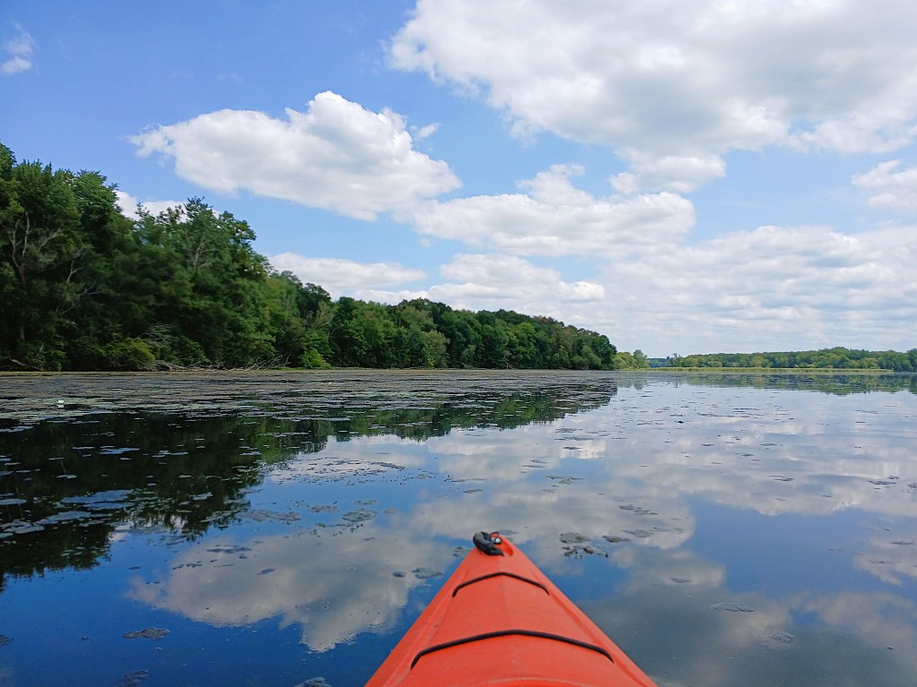
I spotted a large cattail bed way up ahead. It looked like there was a channel in between the north shore and the cattails.
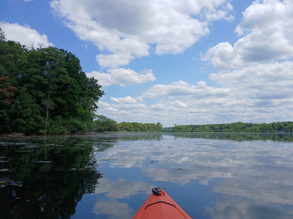
The channel proved to be nonexistent. Thick vegetation turned me back once again.
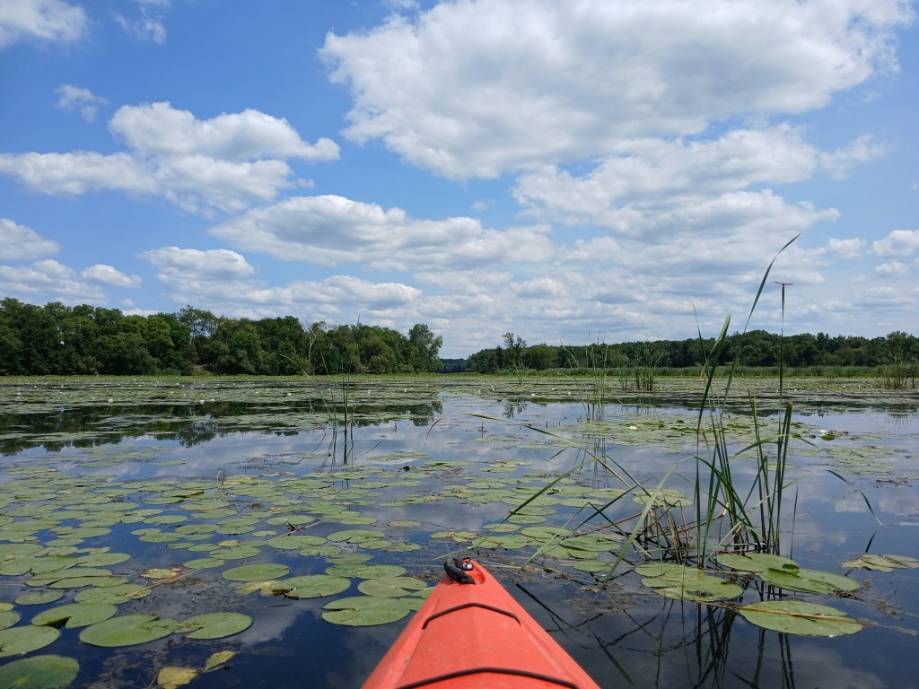
I paddled all the way around the cattail bed.
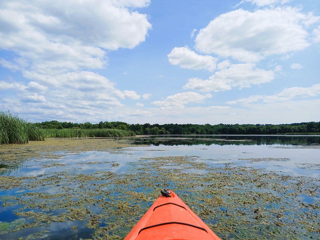
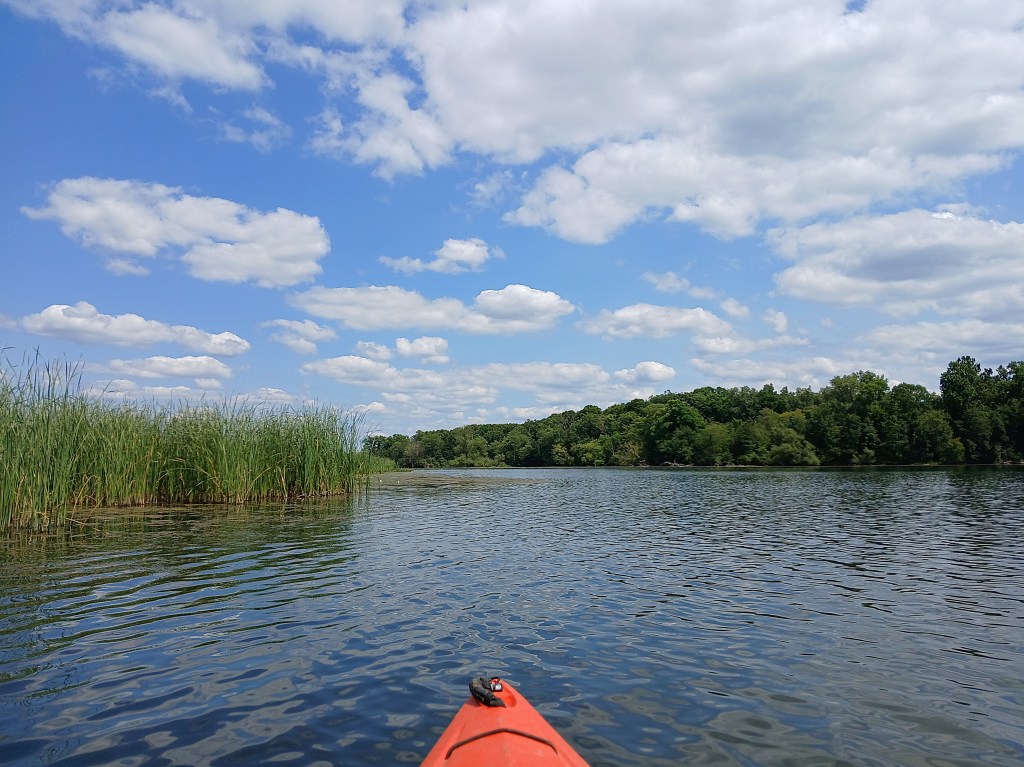
I ended up back on the north shore at the River Oaks landing.
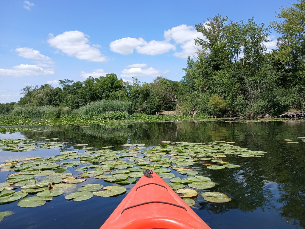
Now that you have a pretty good idea of what the east half of the main basin is like, it’s time to explore the west half of the main basin. I made another trip to Morrow Lake in late September of 2026. This time I used the MDNR access site on Rosemont Road that I mentioned earlier. The landing features a concrete boat ramp with a dock, a gravel parking lot, and a vault toilet.
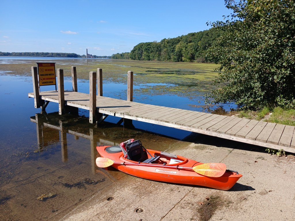
I started out by heading west along the wooded north shore. I wanted to paddle next to the waters edge because it’s more fun, but thick vegetation forced me out away from shore.

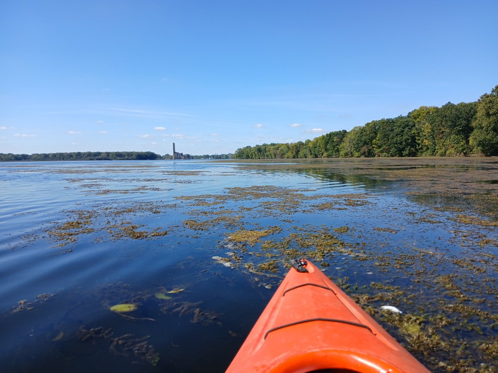
The vegetation gradually thinned out as I headed west, so I was able to paddle closer to the shoreline.
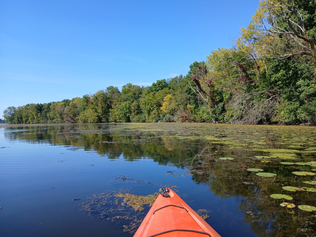
It’s about a mile and a half paddle from the landing to Morrow Dam. The north end of the dam is on the northwest corner of the lake.
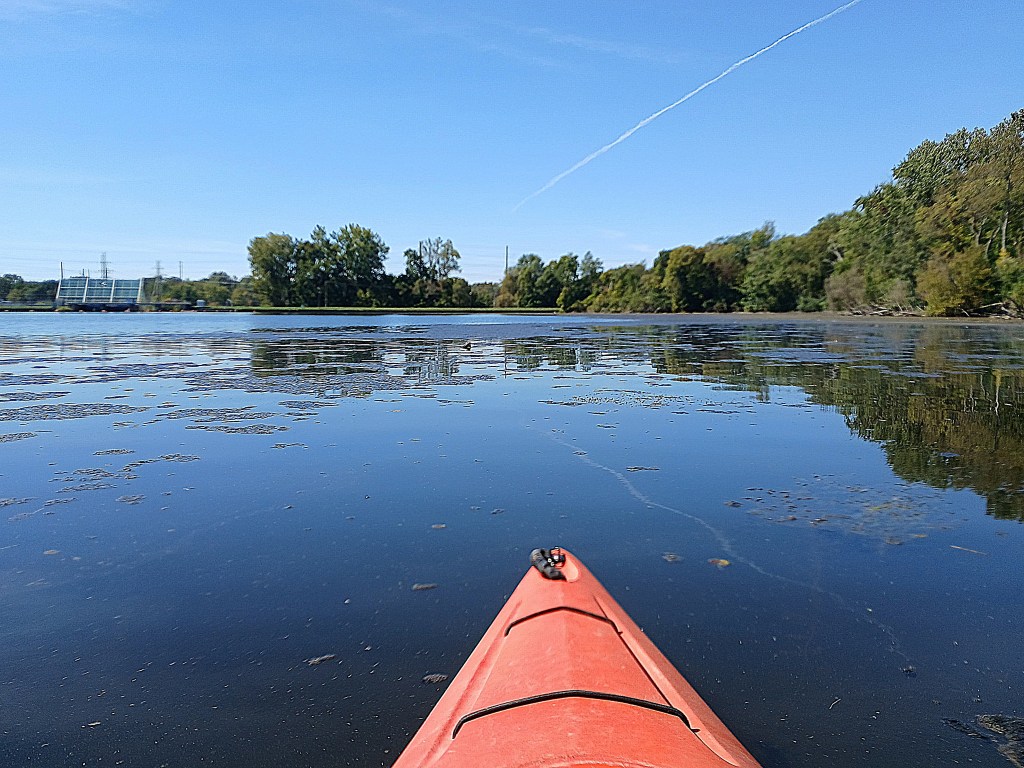
I paddled south along the dam.
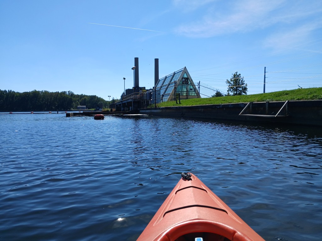
The Morrow Dam portage is part of another voyage that includes the portage and a trip down the Kalamazoo River to Merrill Park in Comstock. The post for that trip is titled “Morrow Lake and Kalamazoo River, Comstock Township, Kalamazoo County”.
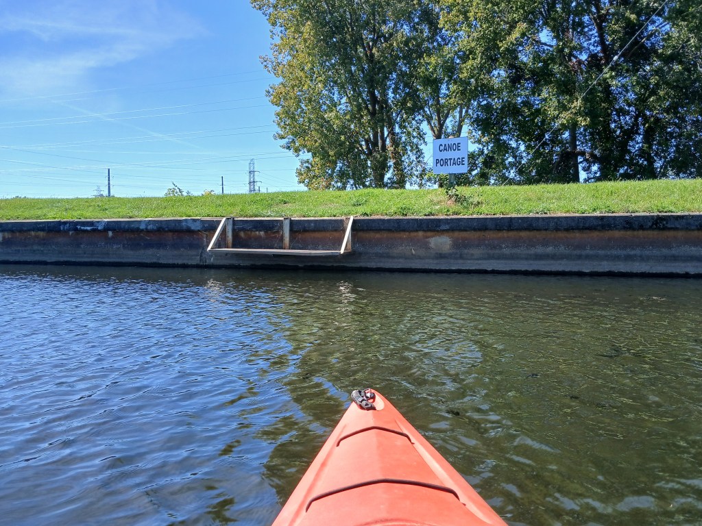
Heading south from the portage, a hydroelectric power plant occupies part of the dam.
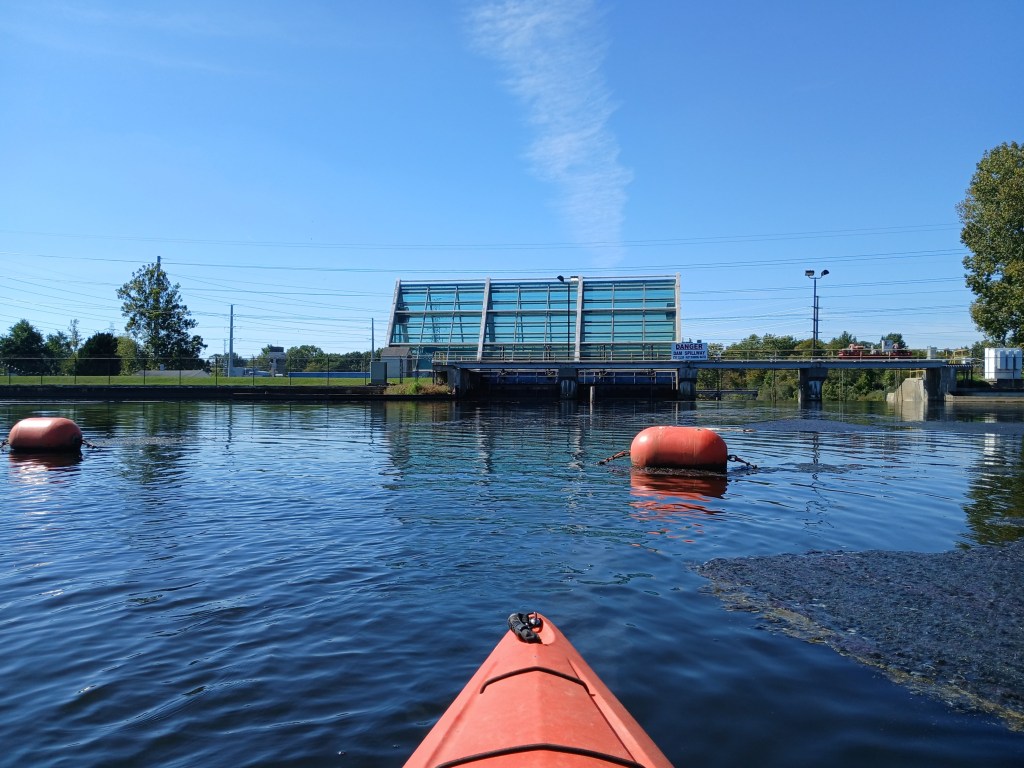
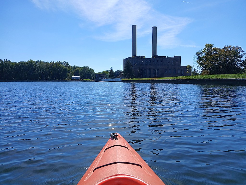
Farther south, a abandoned coal-fired power plant is part of the dam scenery.
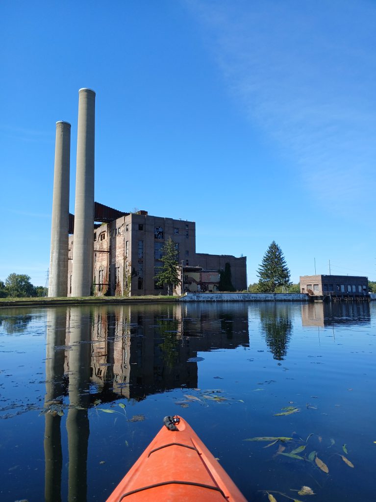
The south end of the dam is on the southwest corner of the lake, next to the power plant.
I paddled east along the south shore of the lake. The waters edge is lined with rock rip-rap for erosion control.
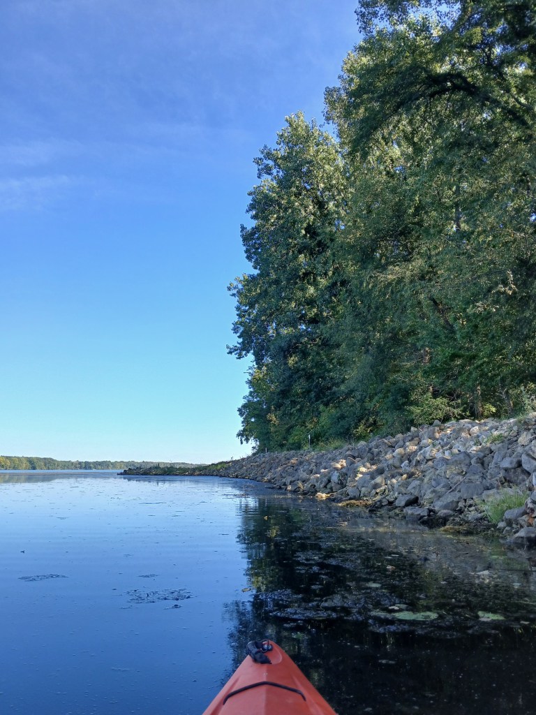
At the east end of the rip-rap, a short stretch of wooded shoreline gives way to the huge cattail bed.
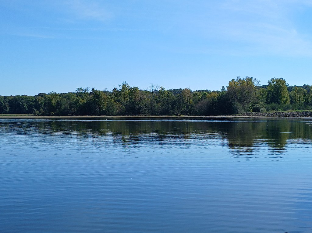
The cattail bed reaches all the way to the horizon on the east end of the main basin.
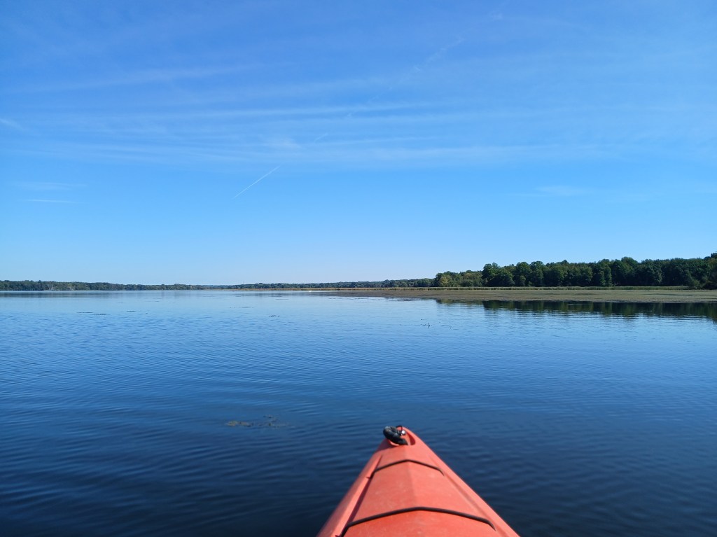
I had already paddled the edge of the cattails from east to west, halfway to the dam, on the previous voyage. On this trip, I was heading west to east, from the dam. Paddling along the cattails was getting rather monotonous. Eventually, I decided that I had enough of the cattails. I changed course to northeast toward the landing and the end of the trip.
I think that the main basin of Morrow Lake is not very interesting. Aquatic vegetation growth on parts of the main basin is far from attractive. The thick vegetation is also difficult to paddle through. However, the east part of the lake, with its islands and channels, is a great place to kayak. The main basin is kind of a dud. The portion of the lake that is part of the trip from the Morrow Lake Access to Merrill Park Comstock gives kayakers an adequate sample of the main basin scenery. This is my opinion of Morrow Lake. You may find that the main basin is enjoyable to kayak. That’s why I covered it in detail. Leave me a comment and let me know what you think. One last look at the Morrow Lake main basin, viewed from Morrow Dam.