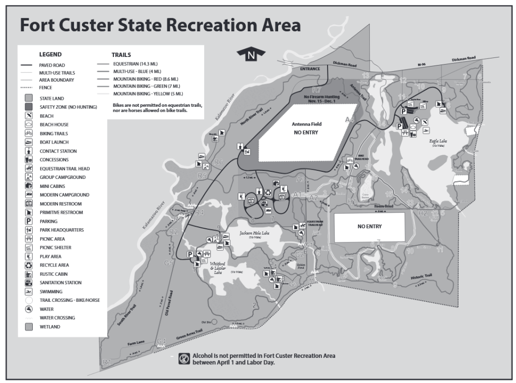
The entrance to Fort Custer State Recreation Area is on the north side of M96, east of the village of Augusta. The park is known for hiking, mountain biking, and horseback riding. The campground is modern, with restrooms and electricity. The Kalamazoo River flows through the park. The boat landing on the river is a good place to begin a trip to Galesburg or end a trip from Battle Creek. The recreation area is also popular for its four lakes. The lakes drain into the Kalamazoo River. Eagle Lake has a excellent boat ramp, picnic shelters, and a swimming beach. The other three lakes share a common access area. Whitford and Lawler Lakes are on the south side of the access. Jackson Hole Lake is on the north side. Park signs will direct boaters to each lake.
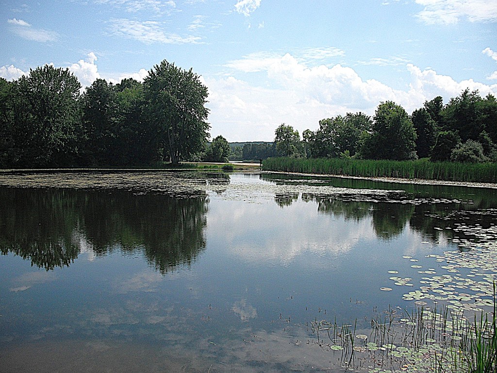
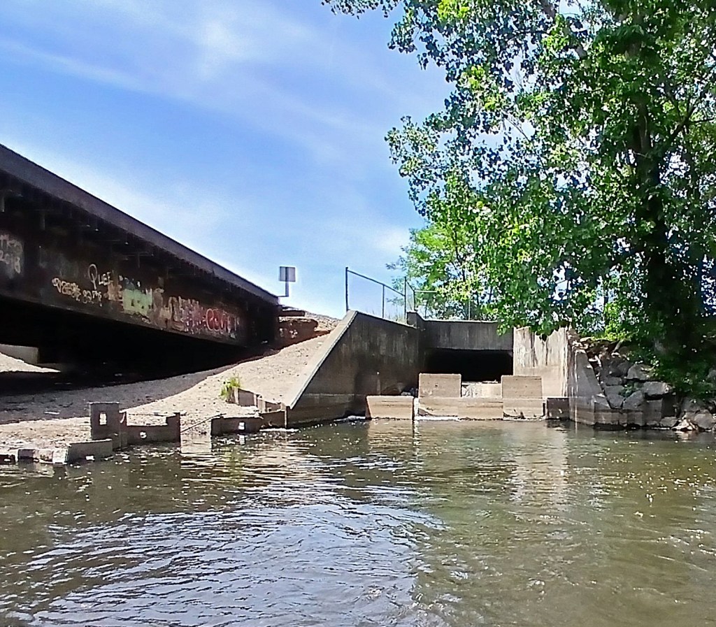
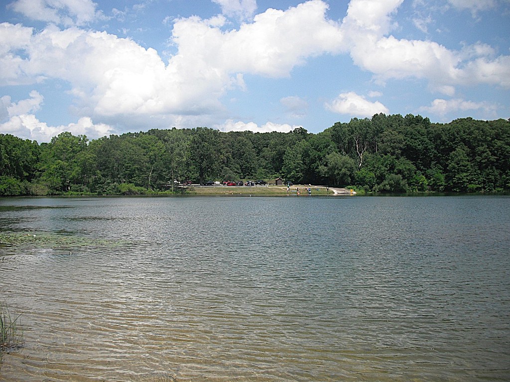
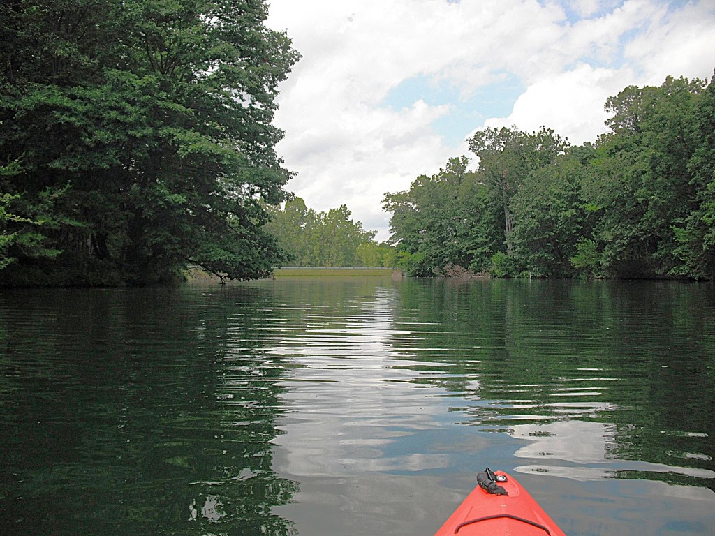
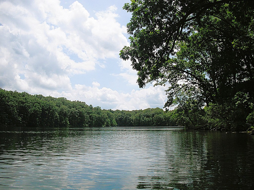
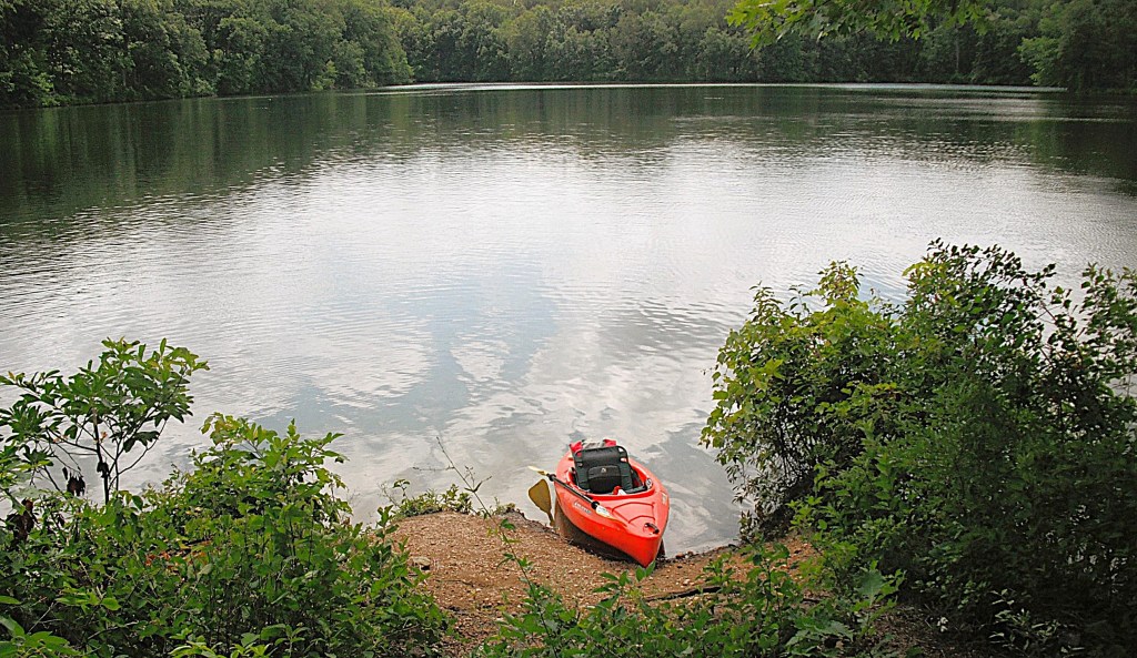
Whitford, Lawler, and Jackson Hole Lakes Access site, viewed from the Jackson Hole Lake dam.
Some parts of these four lakes are not easily accessible in summer because of excessive aquatic vegetation growth. There is a post with photos and info for each of the four lakes.
The entrance to Fort Custer Recreation Area is on highway M96, just east of the village of Augusta. Follow the park signs to the access site. Whitford Lake is on the south side of the landing. The landing is shared by Whitford, Lawler, and Jackson Hole Lakes. Lawler is accessed from Whitford.
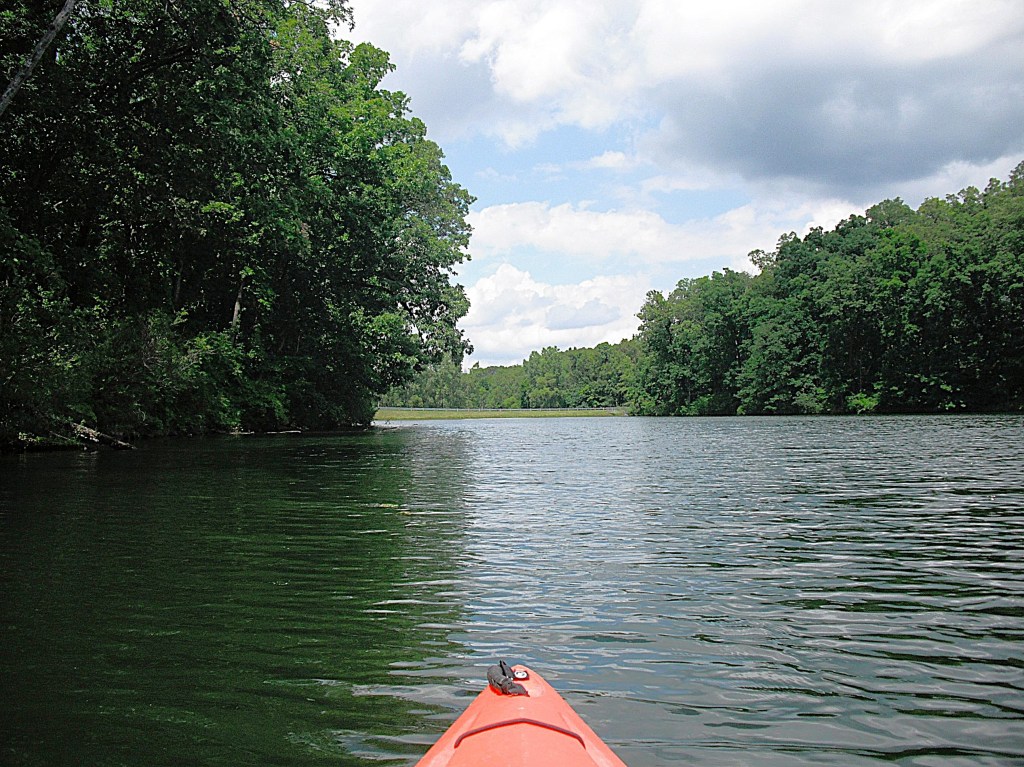
The dam that creates Whitford Lake is at the end of a cove on the west end.
There is also a fishing pier and a picnic shelter on the west end. There is a large, shallow cove on the south side.
You can venture into this cove by paddling areas of sparse pad and weed growth.
A couple years ago, during springtime, this cove was loaded with carp. I paddled in and sat still. I was surrounded. At times, the carp bumped into my boat. One large carp nestled tight against the side of my kayak with its back out of the water, so I petted him. Judging from his reaction, he didn’t like it.
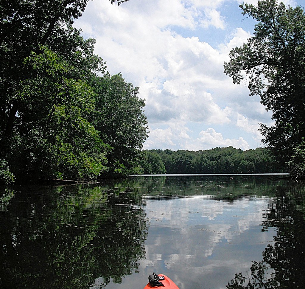
Looking north, from the south end of carp cove.
After touring Whitford, you can continue on to Lawler or head back to the landing.
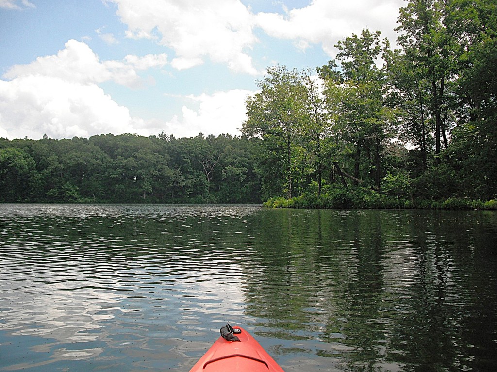
The entrance to Fort Custer State Recreation Area is on the north side of M96, just east of the village of Augusta. Follow the park signs to the Whitford Lake access site. Whitford, Lawler, and Jackson Hole Lakes share the same boat launch area. The Whitford and Lawler landing is on the south side of the site. Whitford Lake and Lawler Lake look like one single body of water. It’s hard to tell where one ends and the other begins. Paddle east across Whitford Lake to Lawler Lake.
On Whitford, approaching Lawler.Viewing Lawler from the west.
There is a large shallow area on the east end of Lawler.
The shallow water continues to the southeast corner of the lake. Some areas are too shallow to float a kayak. There is a deeper channel through the southeast shallows. It is not always bordered by aquatic vegetation.
The channel leads to a creek mouth.
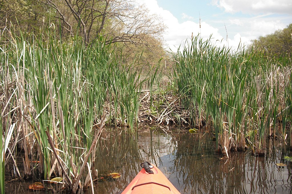
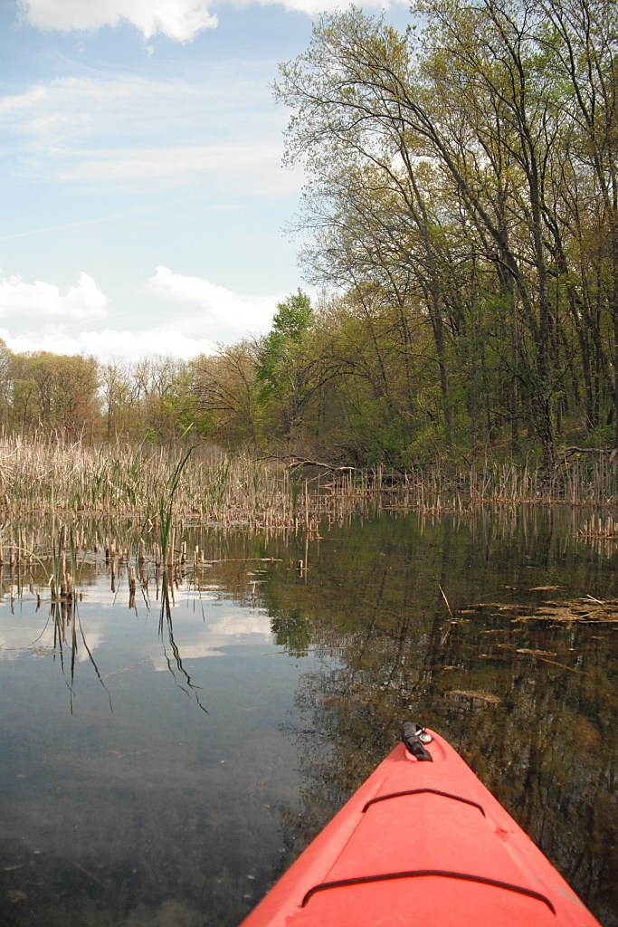
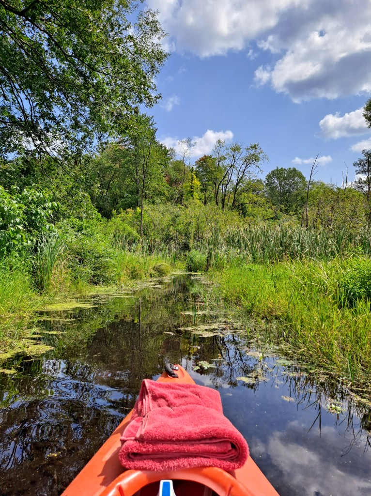
Follow the small creek to a beaver dam.
To portage the dam, I paddled the bow of my kayak to the base of the dam. While seated, I put a leg over each side of my boat and slid forward to the tip of the bow. I carefully and gingerly stood up on the dam, stepped up to the top of it, and pulled my kayak over. I did all this without falling into the marsh! It wasn’t easy.
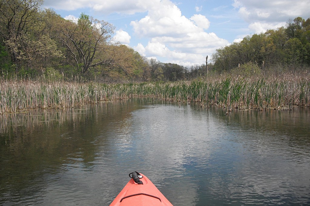
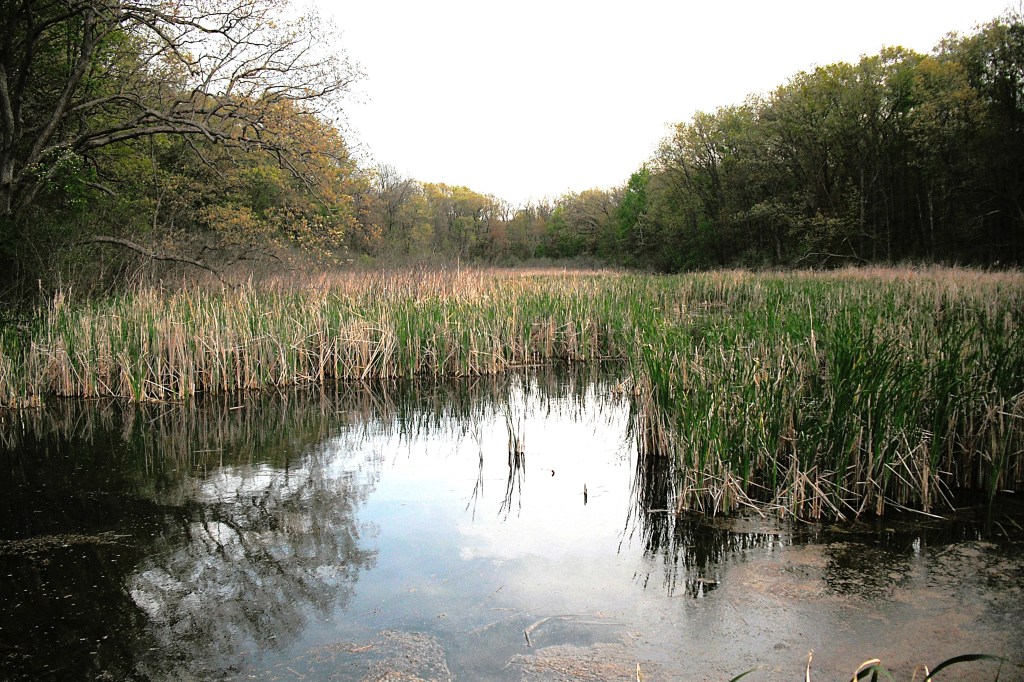
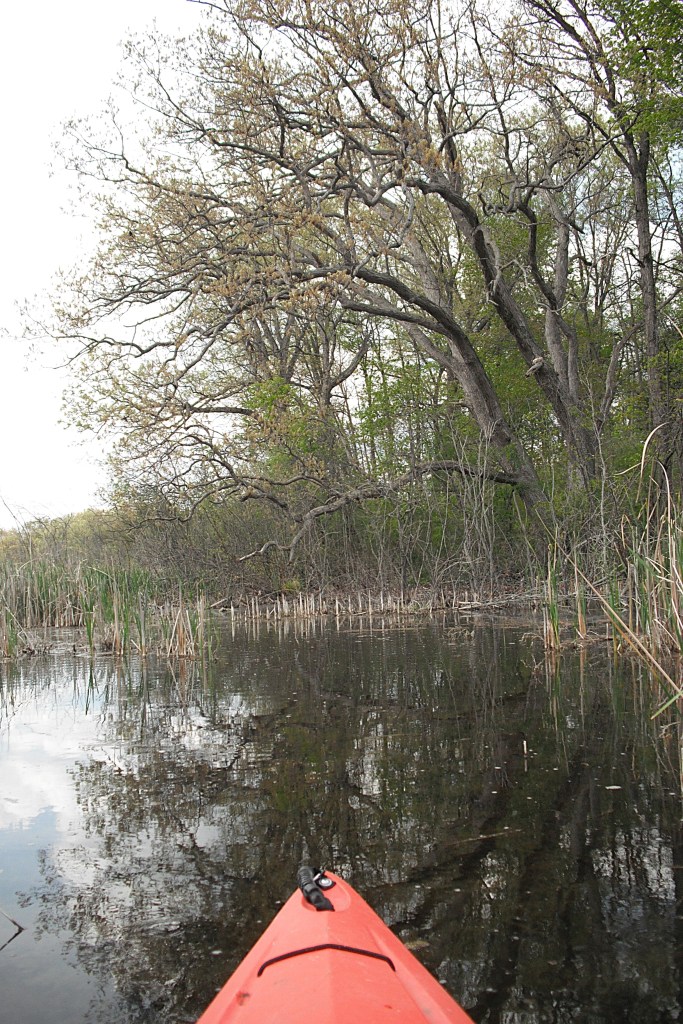
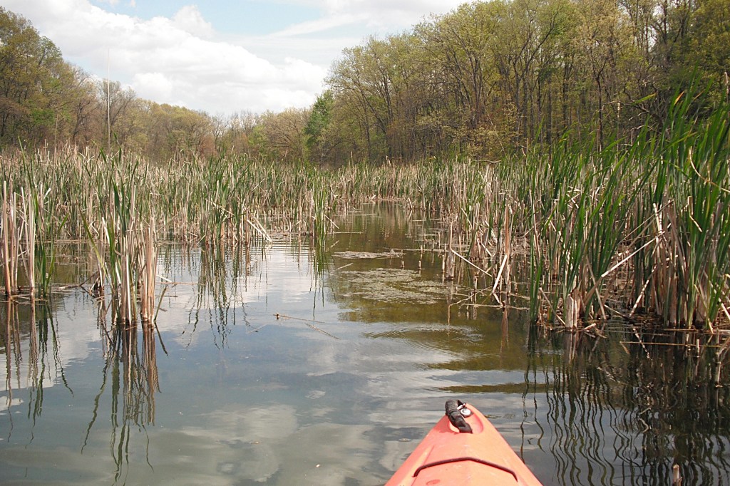
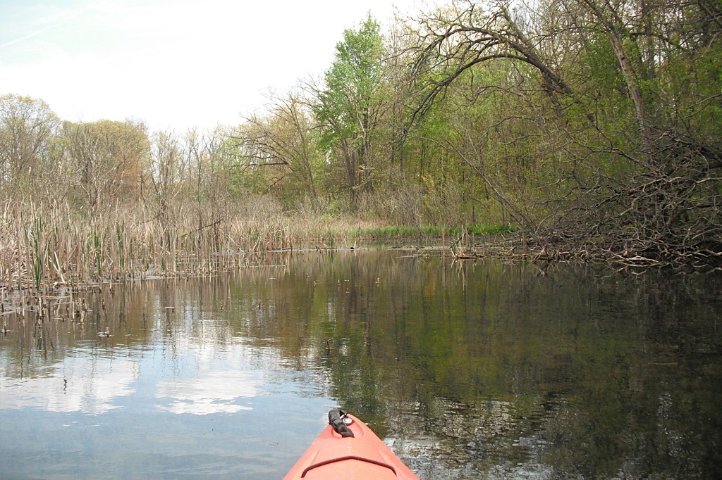
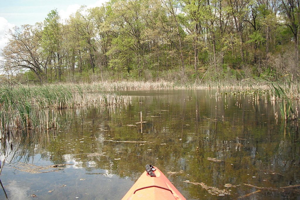
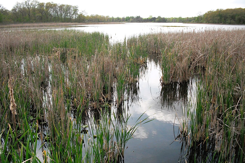
The backwaters of the beaver dam do not fit the stereotype of the typical beaver pond. The backwaters consist of many different size ponds connected by channels, all within a cattail marsh surrounded by forest.
The backwaters, viewed from the top of the dam. The beaver’s waterways extend all the way to the back of the marsh.
I thoroughly explored the backwater area.
I didn’t want to leave until I saw everything that there was to see.
Exploring the beaver pond is as good as it gets.
I finally satisfied my curiosity and returned to the dam.
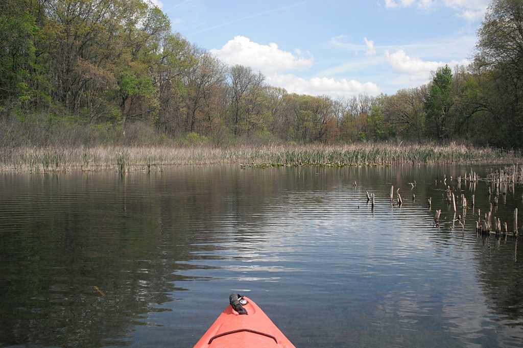
Lawler Lake, viewed from the top of the dam.
On the way back, I used a different technique to portage the beaver dam. I paddled as fast as I could and slid about half way over it. I stayed in my kayak and used “scooting” to get the rest of the way over the dam. It’s like sitting in a chair and “scooting” it up to the dinner table. It sounds odd, but it works! I returned to Lawler Lake and on to Whitford Lake and the landing. The pristine beauty of the beaver dam backwater is hard to beat. It’s definitely the highlight of Lawler Lake.
The entrance to Fort Custer Recreation Area is on highway M96, just east of the village of Augusta.
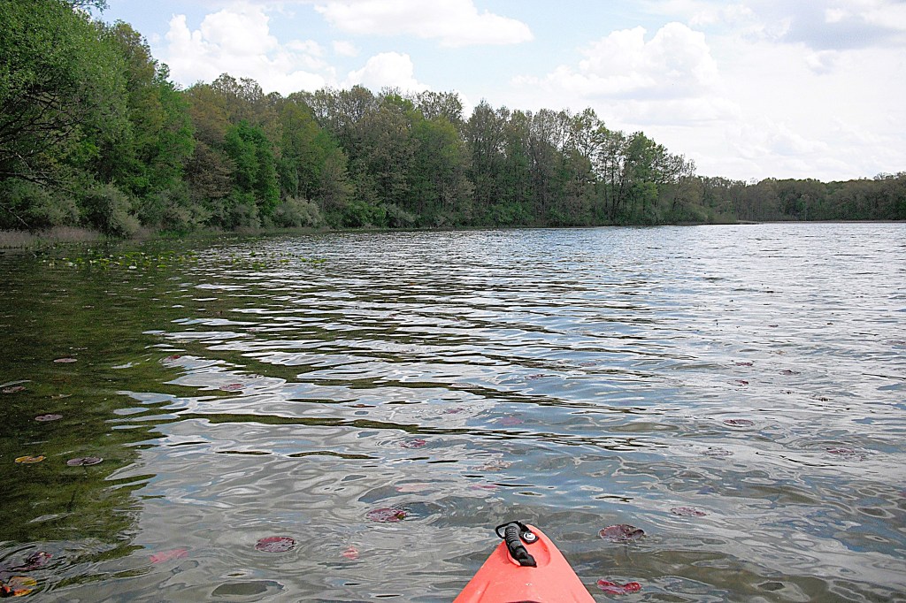
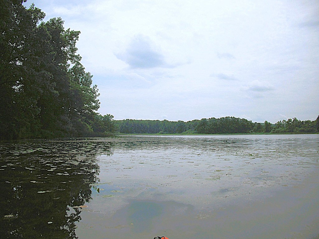
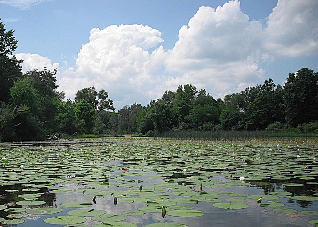
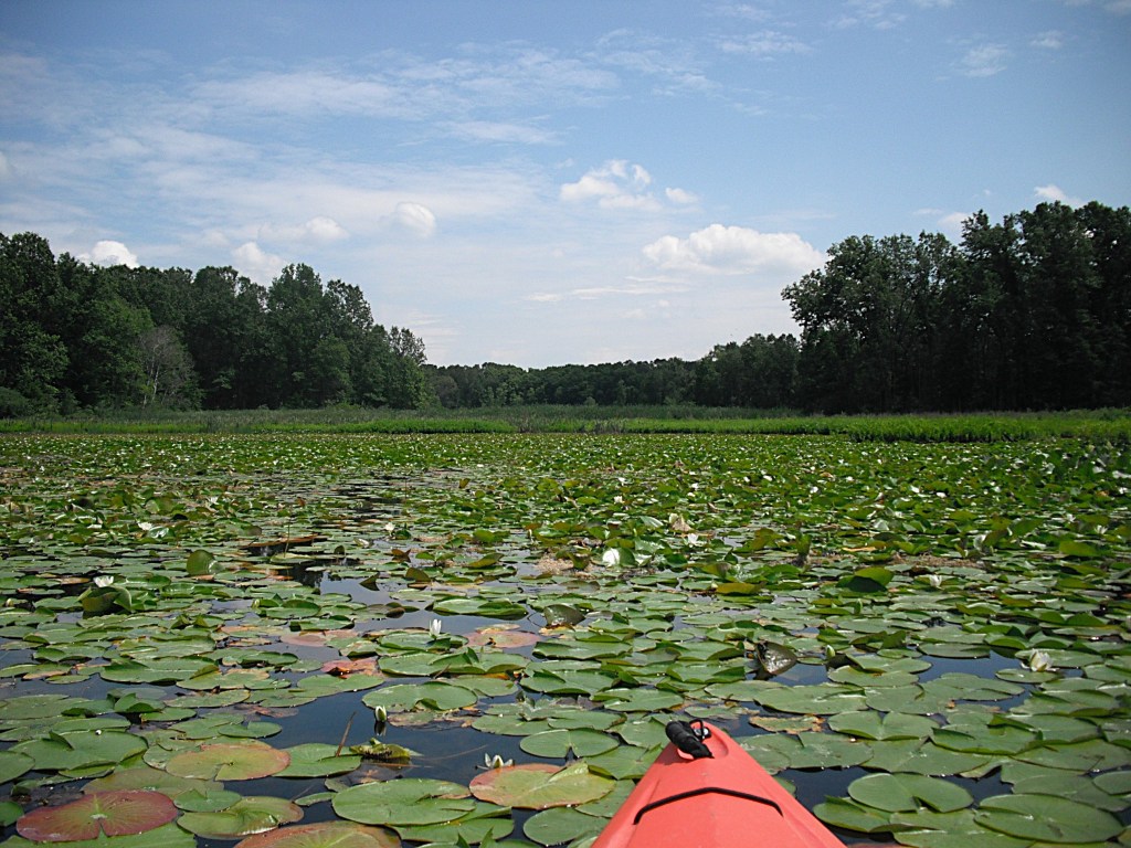
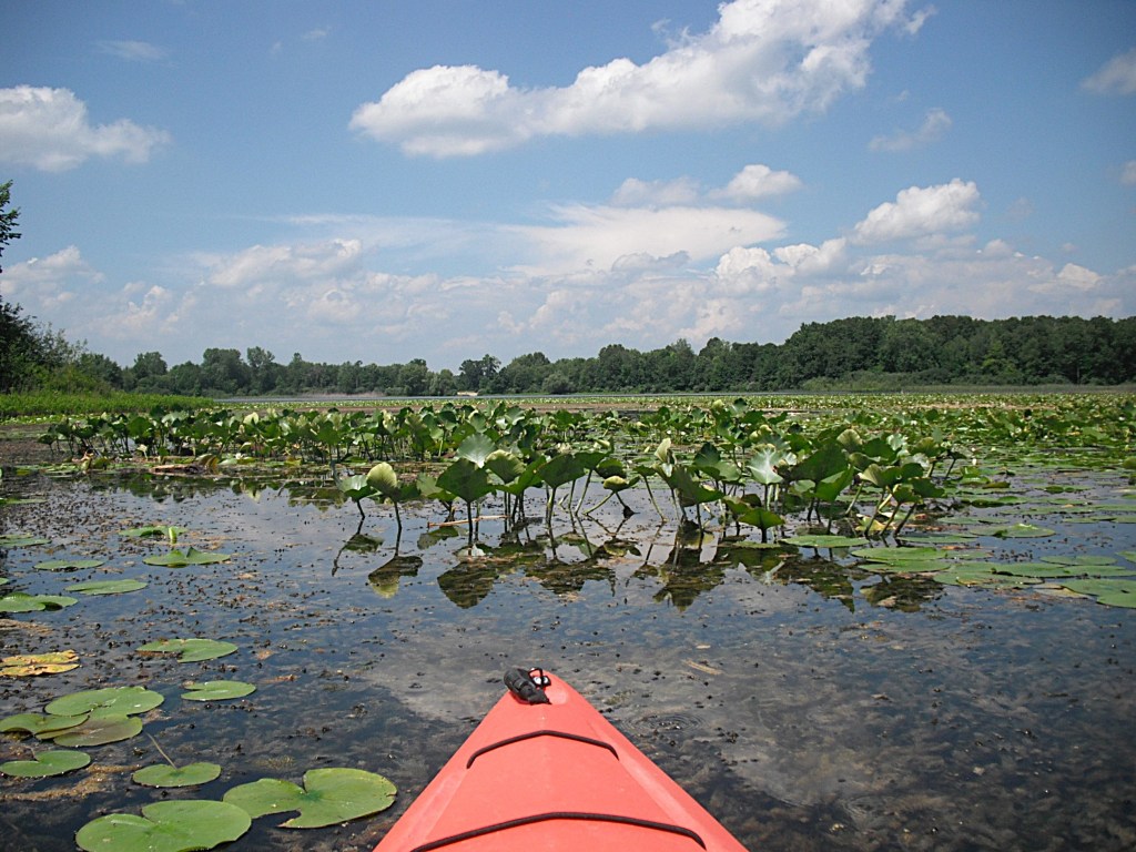
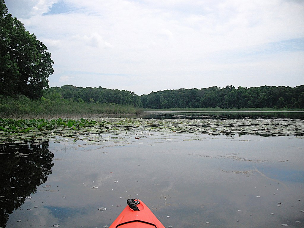
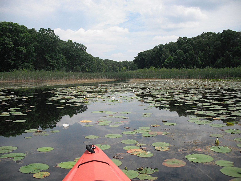
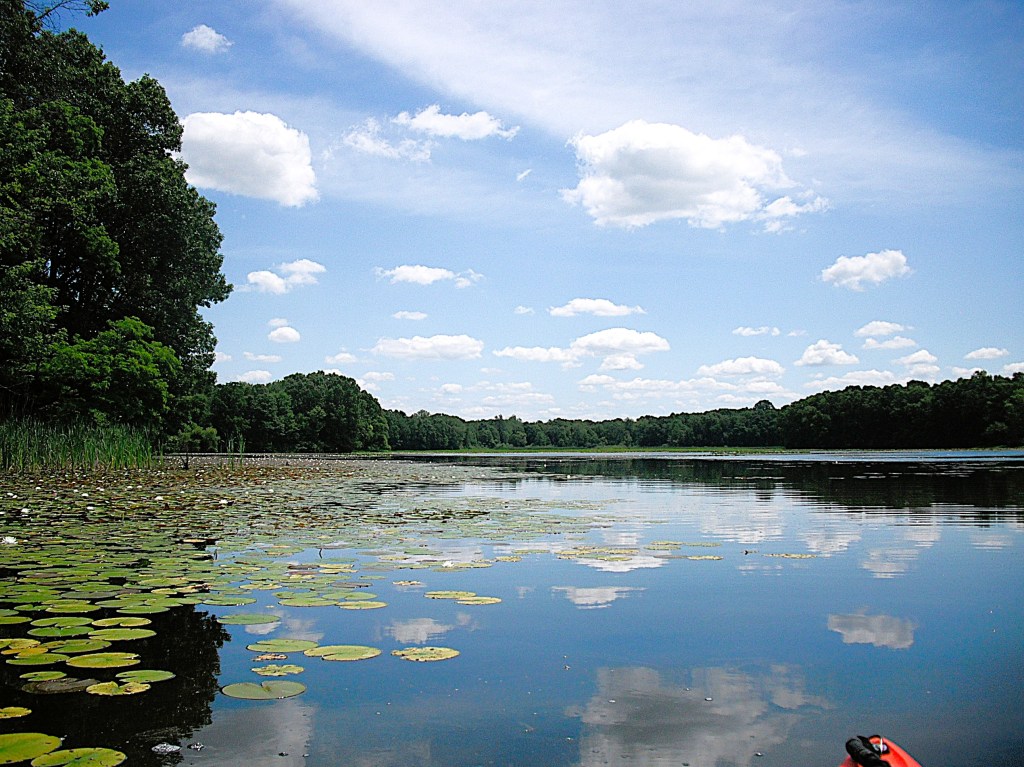
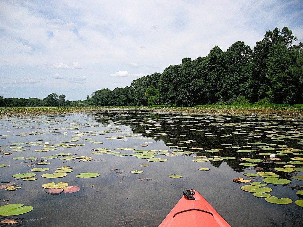
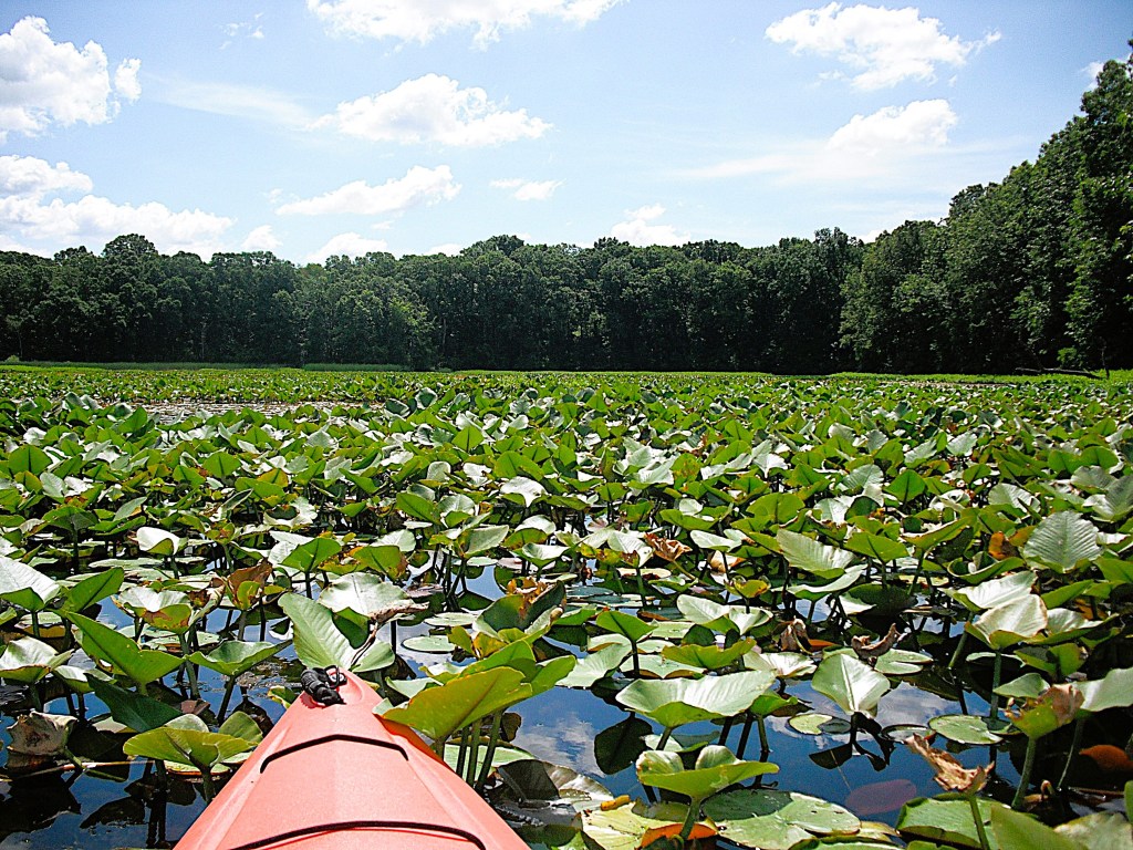
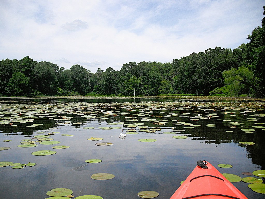
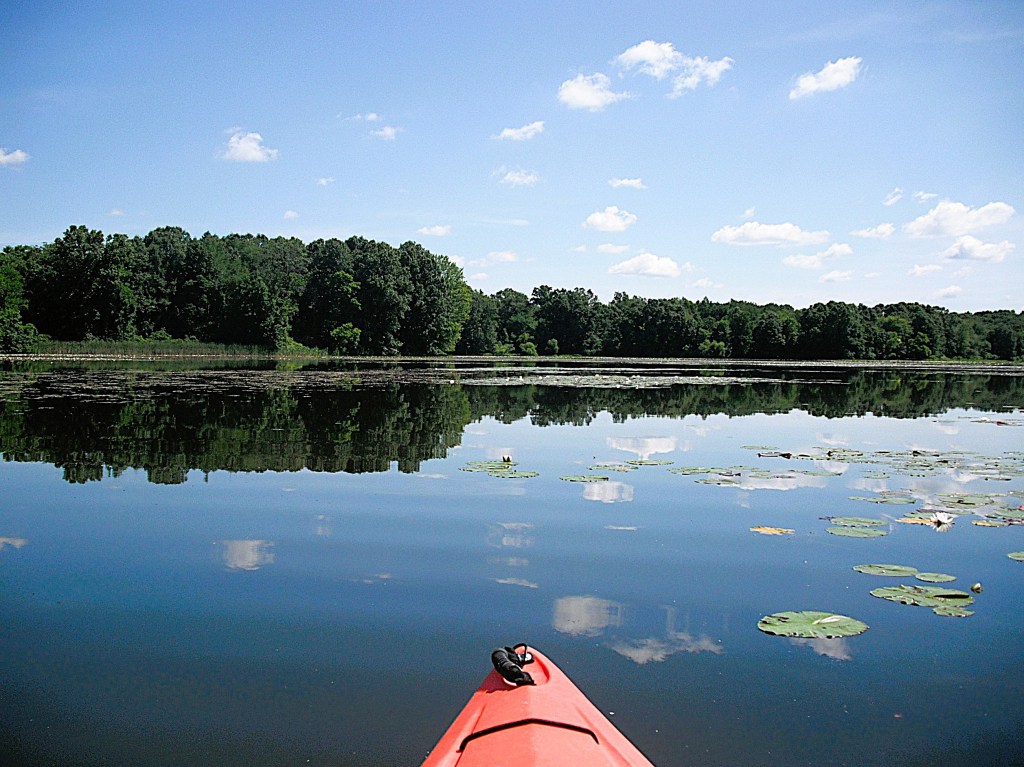
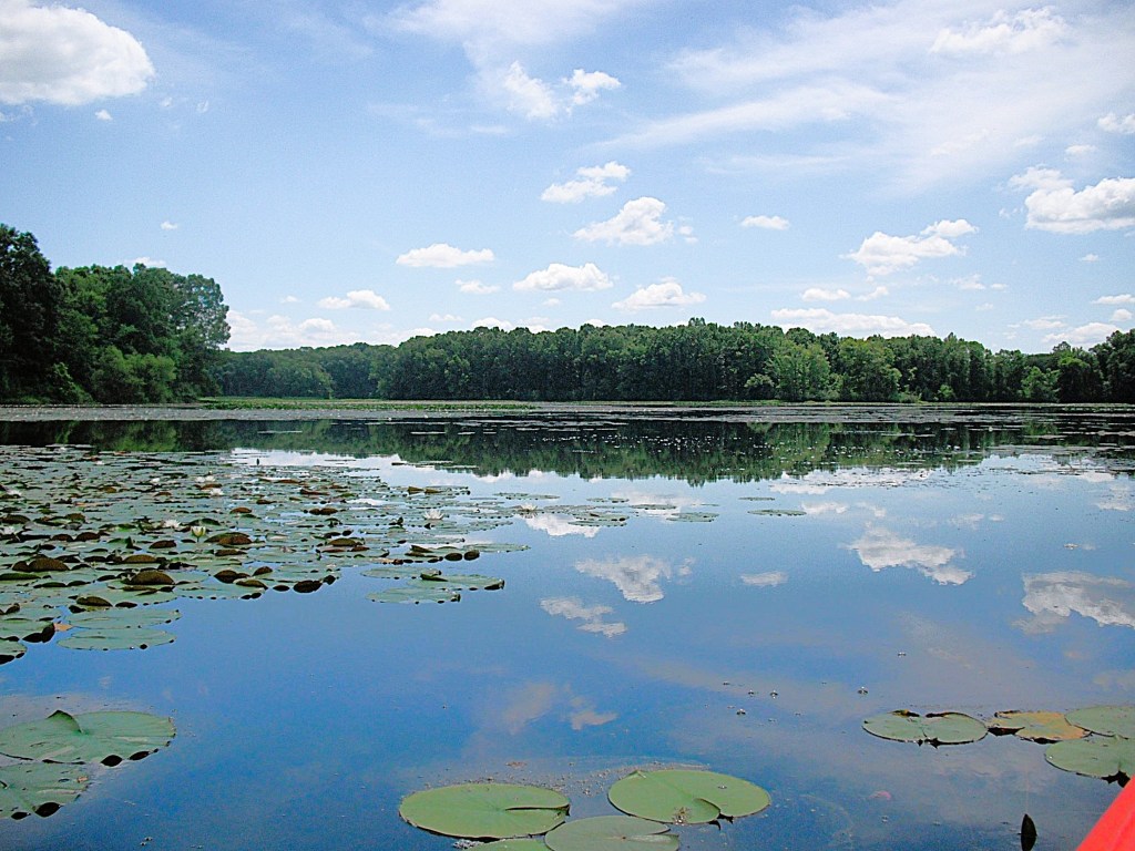
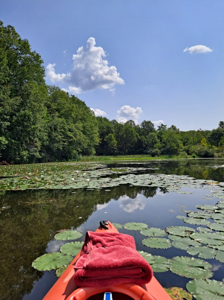
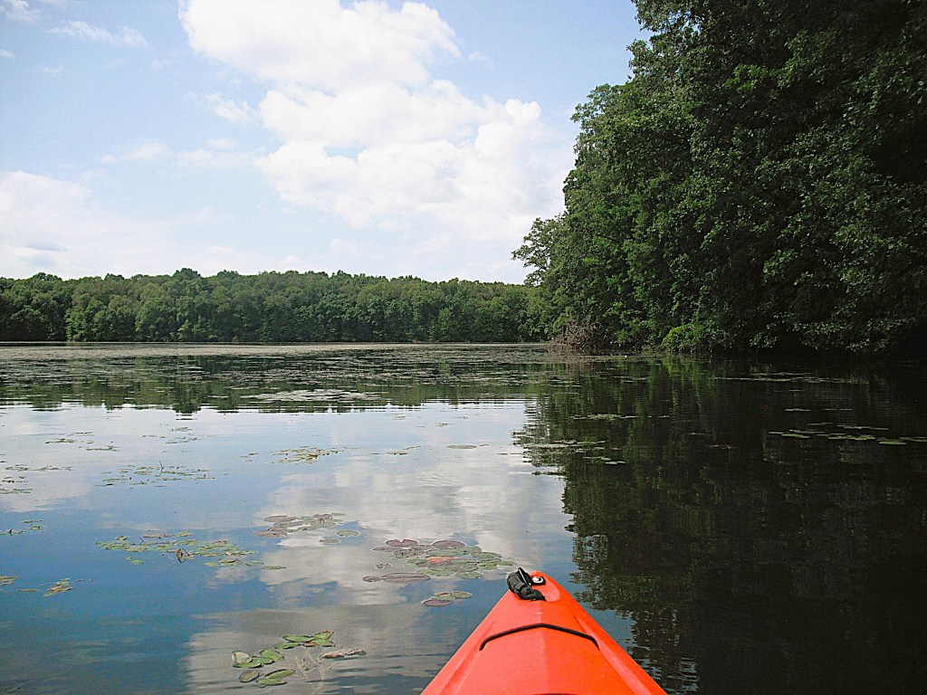
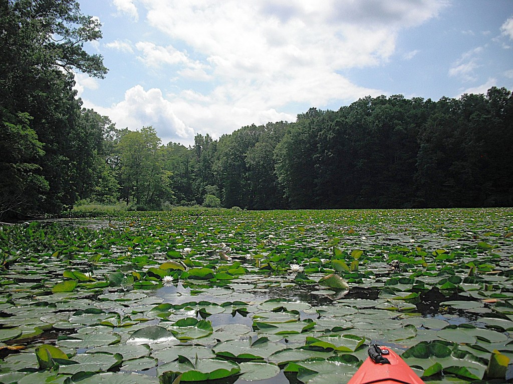
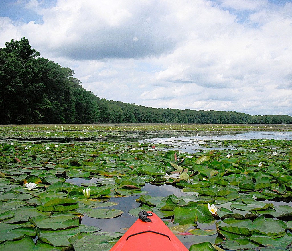
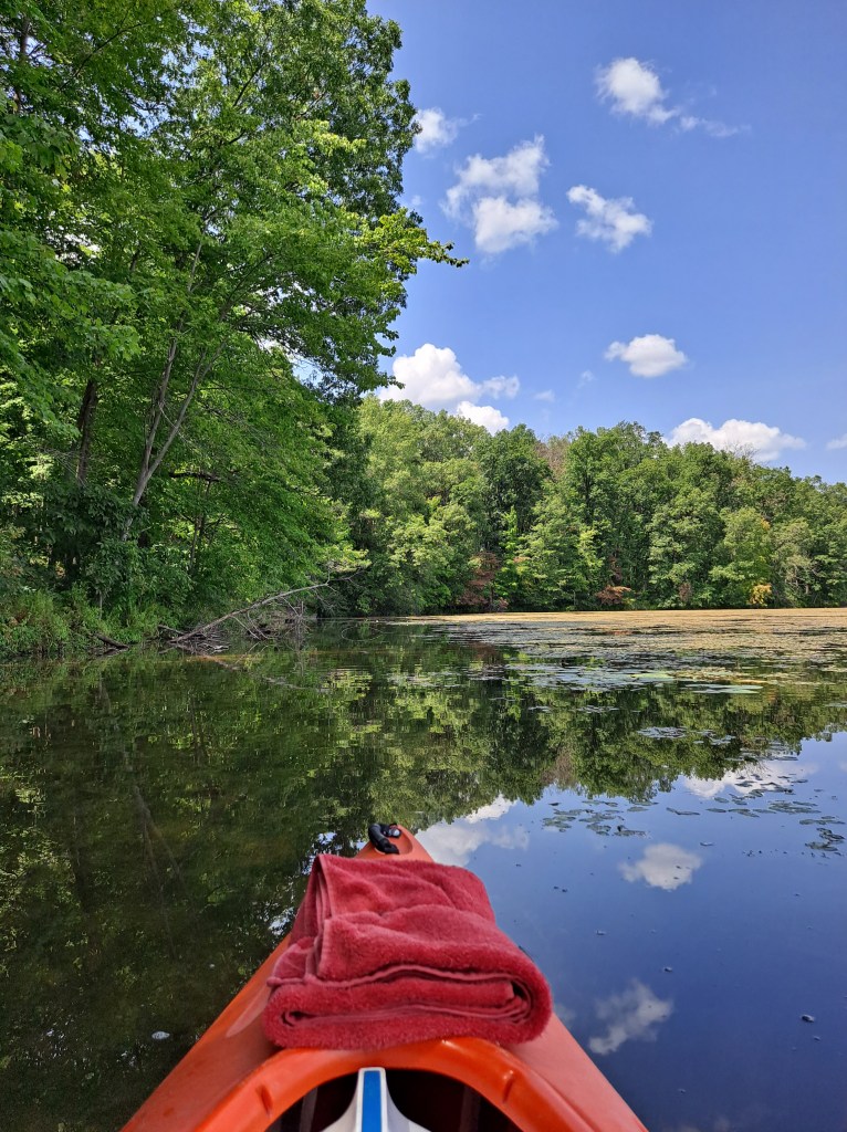
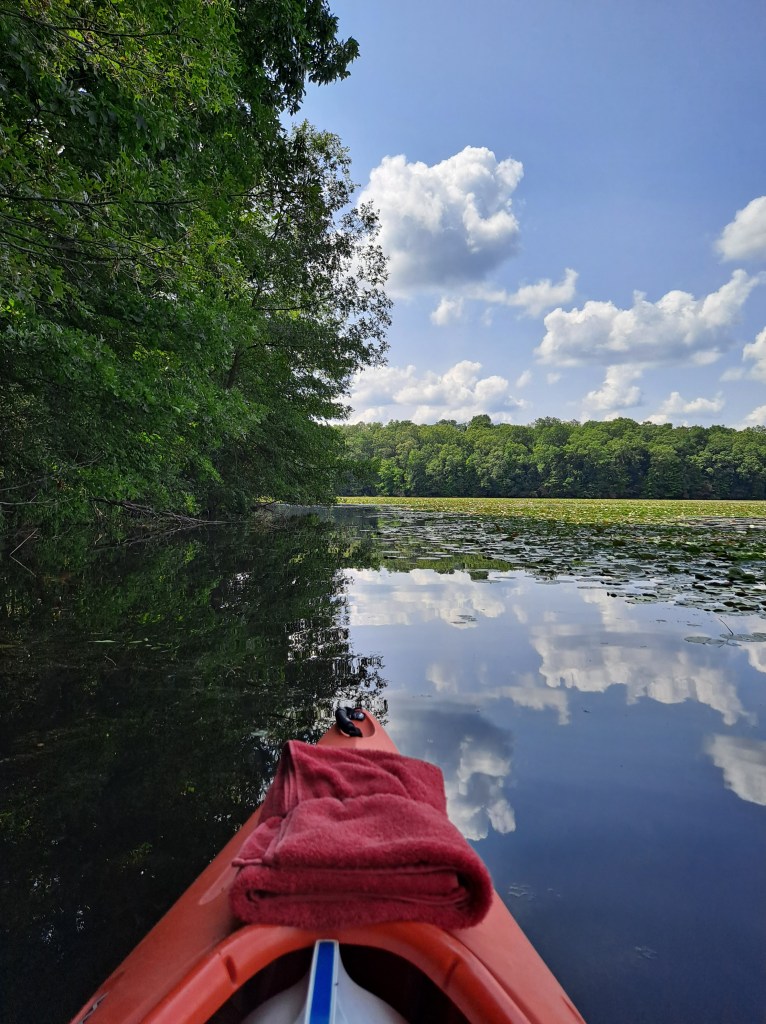
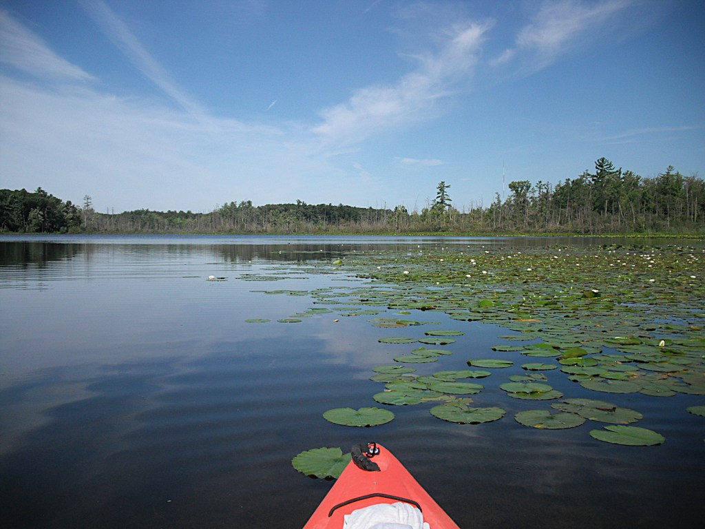
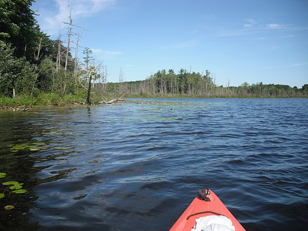
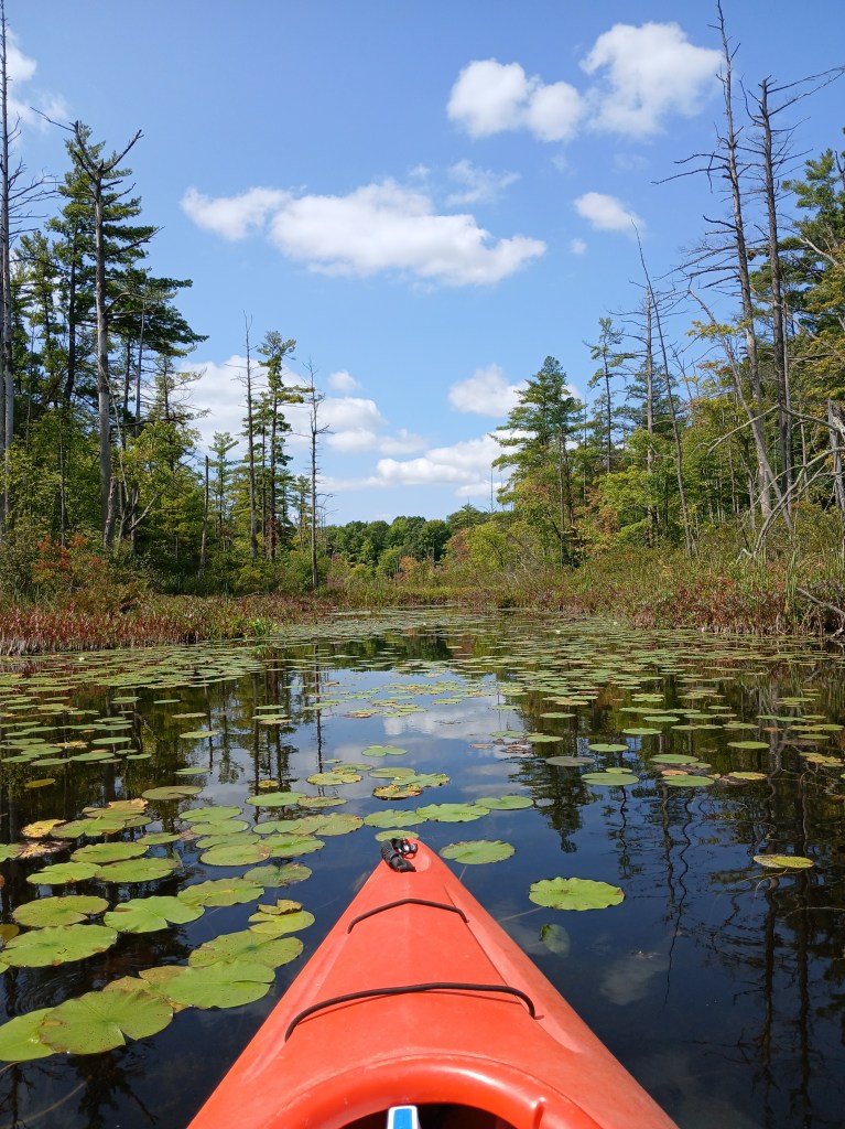
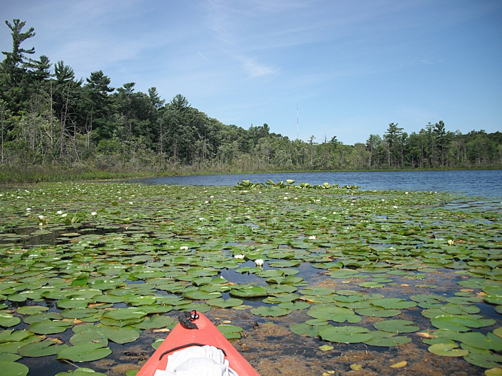
Jackson Hole Lake is the shallowest of the four lakes within the recreation area. Some parts of the lake are not easily accessible in the summer due to thick fields of lily pads and other aquatic vegetation. Early spring and late fall are the best times to explore the lake. The lake is still fun to paddle in the summer, so I ventured out in July 2020.
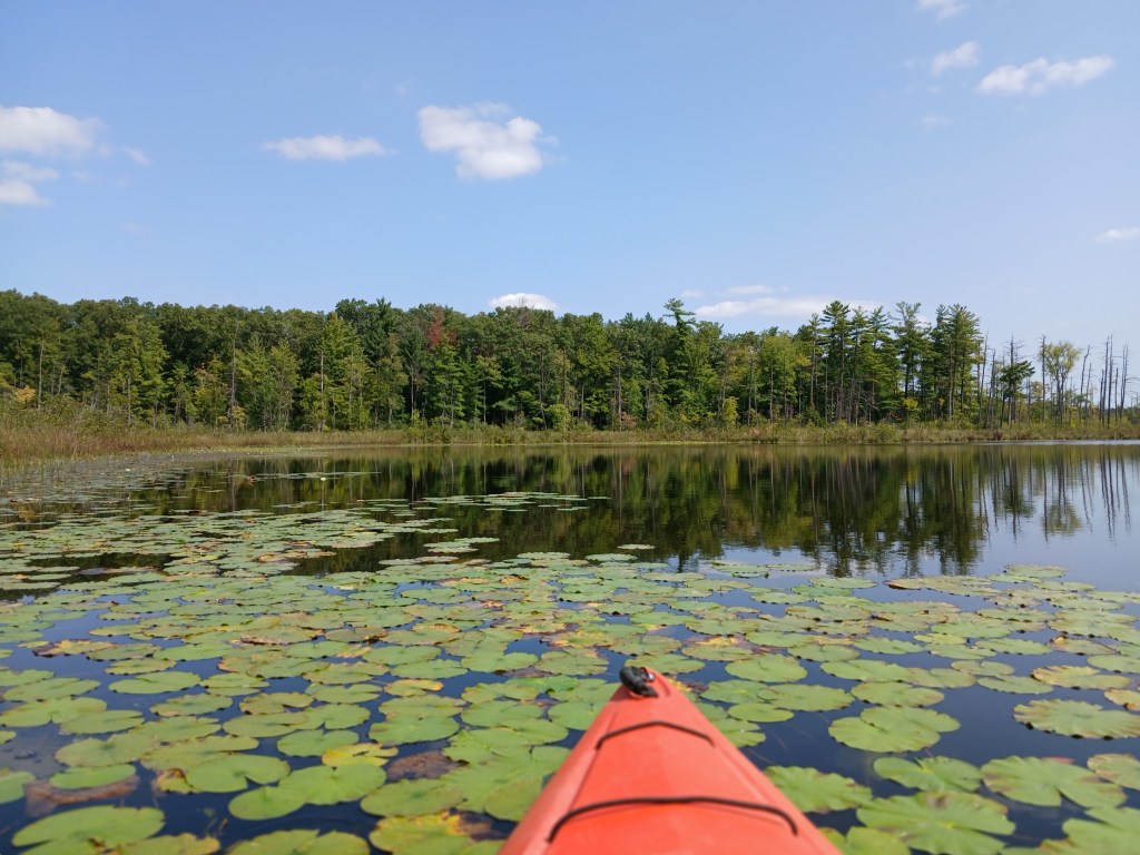
Follow the park signs to the access site. The Jackson Hole Lake landing is on the north side of the site. The dam is on the northwest corner of the lake. At first glance, the lake looks completely covered with vegetation.
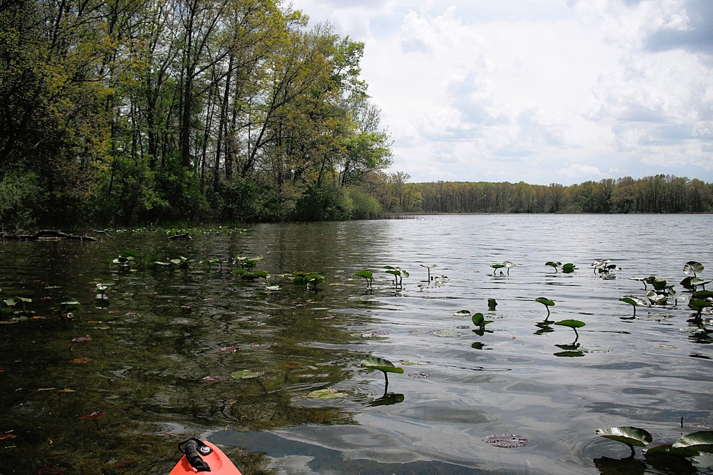
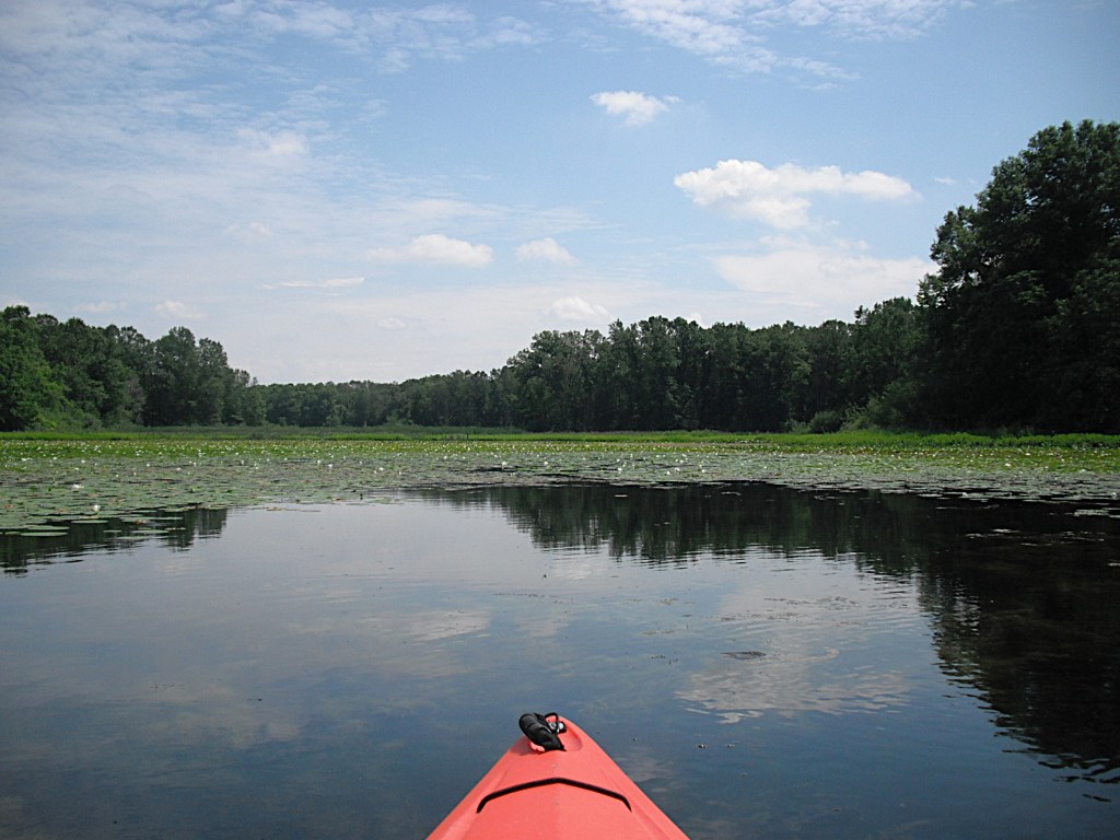
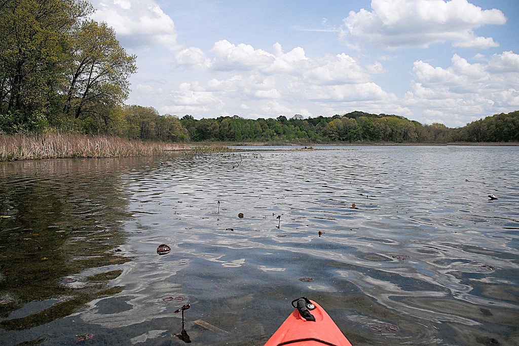
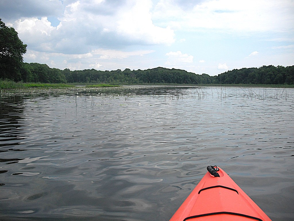
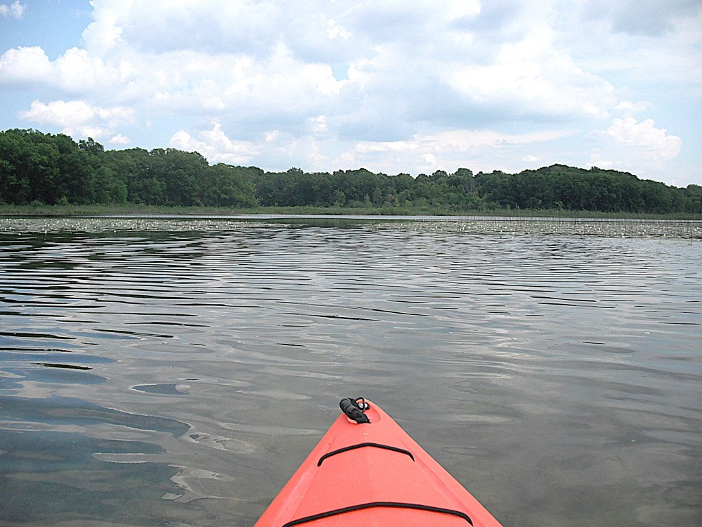
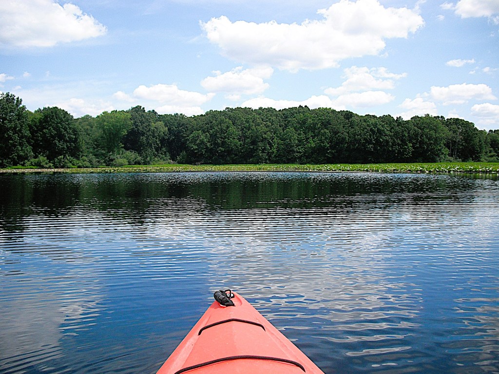
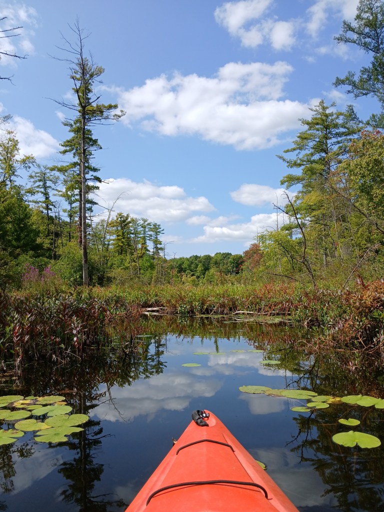
That first look can be deceiving. You will discover that most of the lake is accessible by paddling areas of sparse pad growth. The largest spot of open water is in the middle of the east end. The far east end is covered with lily pads.
There is a large cove on the southeast corner of the lake that is not visible from the landing. The cove is easily paddled, but not in summer.
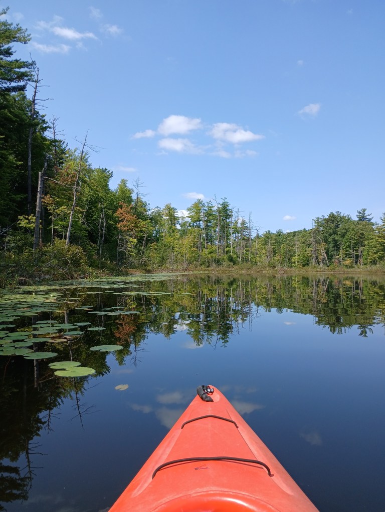
There is a cove on the northeast corner of the lake that deserves a look.
No matter what season, Jackson Hole Lake is a scenic destination for paddlers.
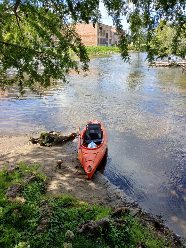
River Front Park is a small linear park between the Kalamazoo River and Commerce Lane in Parchment. On the north end of the park, steps and a boat slide lead down a small hill to the river’s edge. A deck overlooks the river next to the boat landing. Parking is on the side of the road. No restrooms.
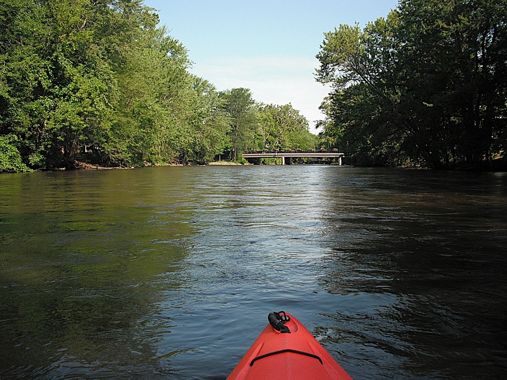
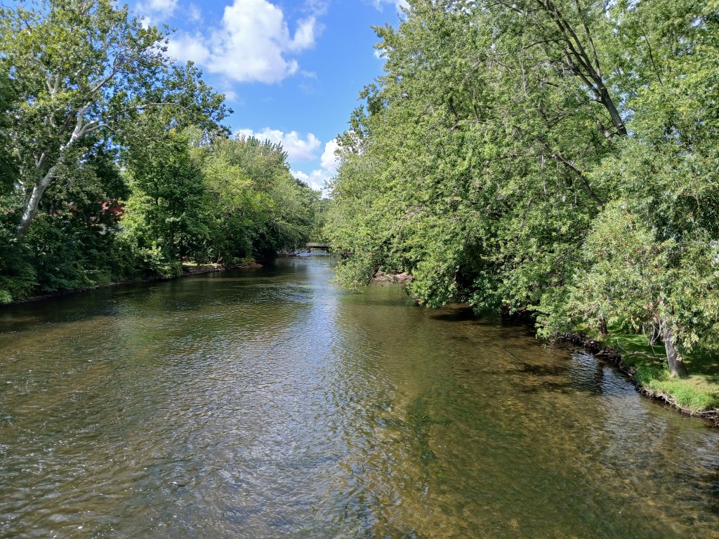
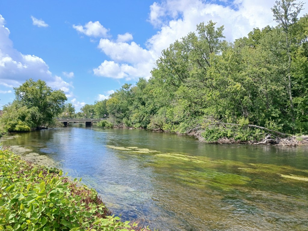
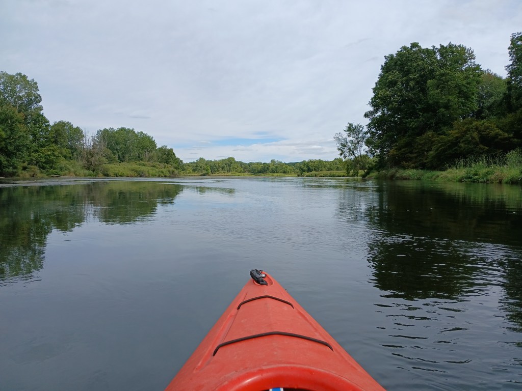
This trip is suitable for all skill levels. The river is wide with a sand and gravel bottom. The current varies between slow and moderate. The depth ranges from a foot deep to over six feet deep. The last time I kayaked this stretch of the Kalamazoo River was in late September of 2025. Water levels were extremely low.
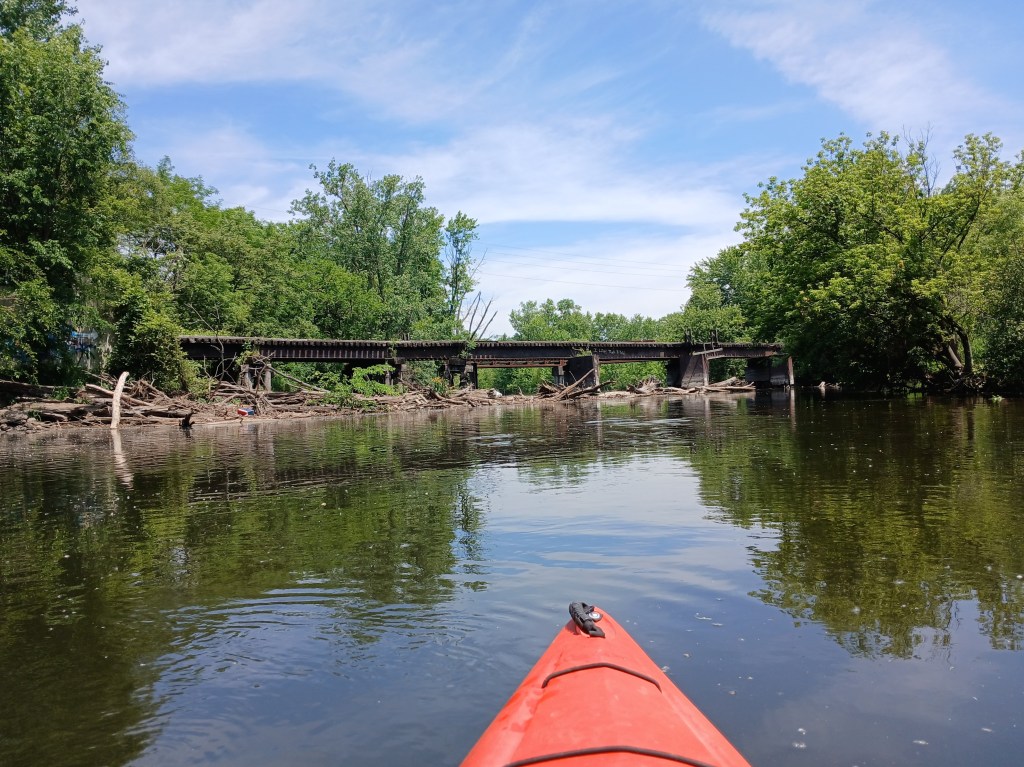
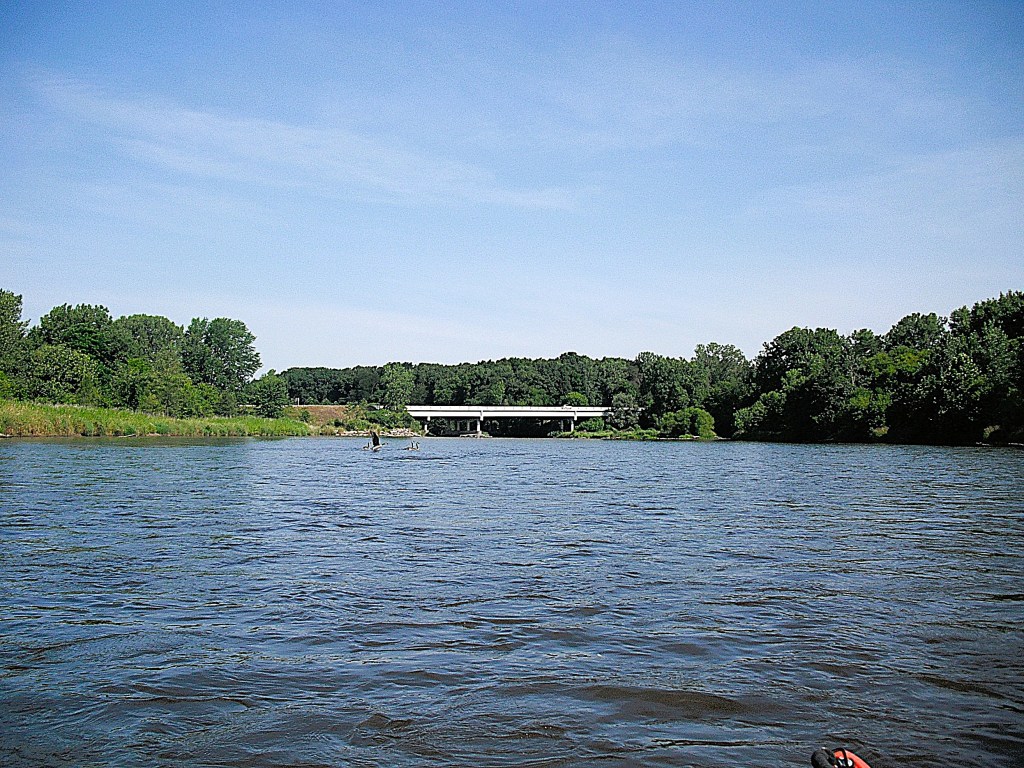
Downstream from the landing, around a couple of bends, the old Hercules plant is on the right riverbank. Just past the factory, a railroad bridge spans the river.
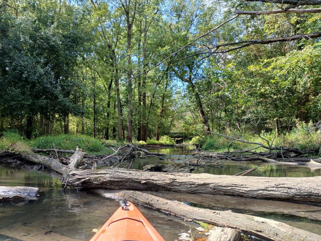
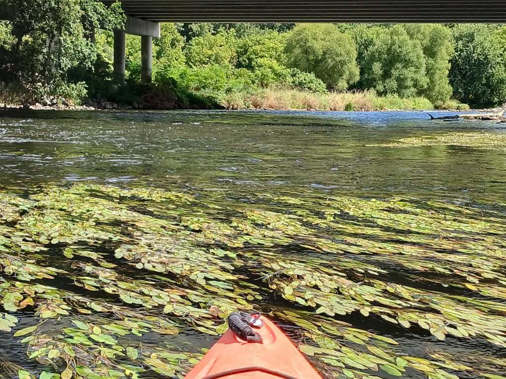
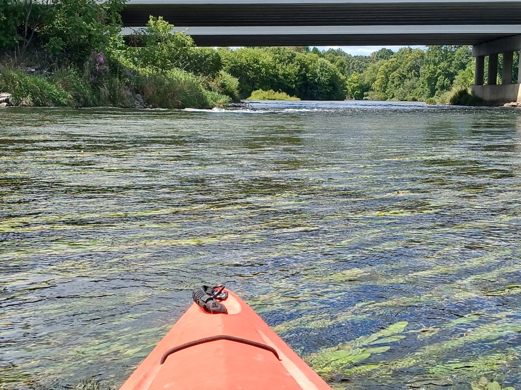
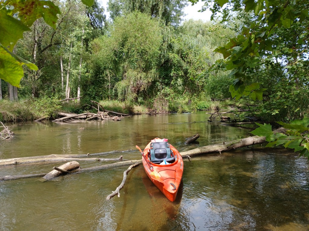
The current pushes trees and tree limbs against the bridge supports, forming logjams. I found two open passages under the bridge. The rest were blocked. Maybe more will be open when you make your trip. It’s quite possible that you might have to portage.
After a long straight stretch, the river splits in two around the 0.4 mile long Glenn Allen Island, a nature preserve.
Both channels around the island are navigable.
I arbitrarily chose the west channel.
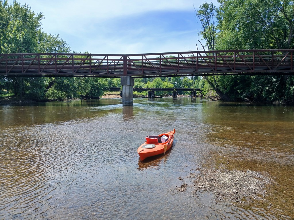
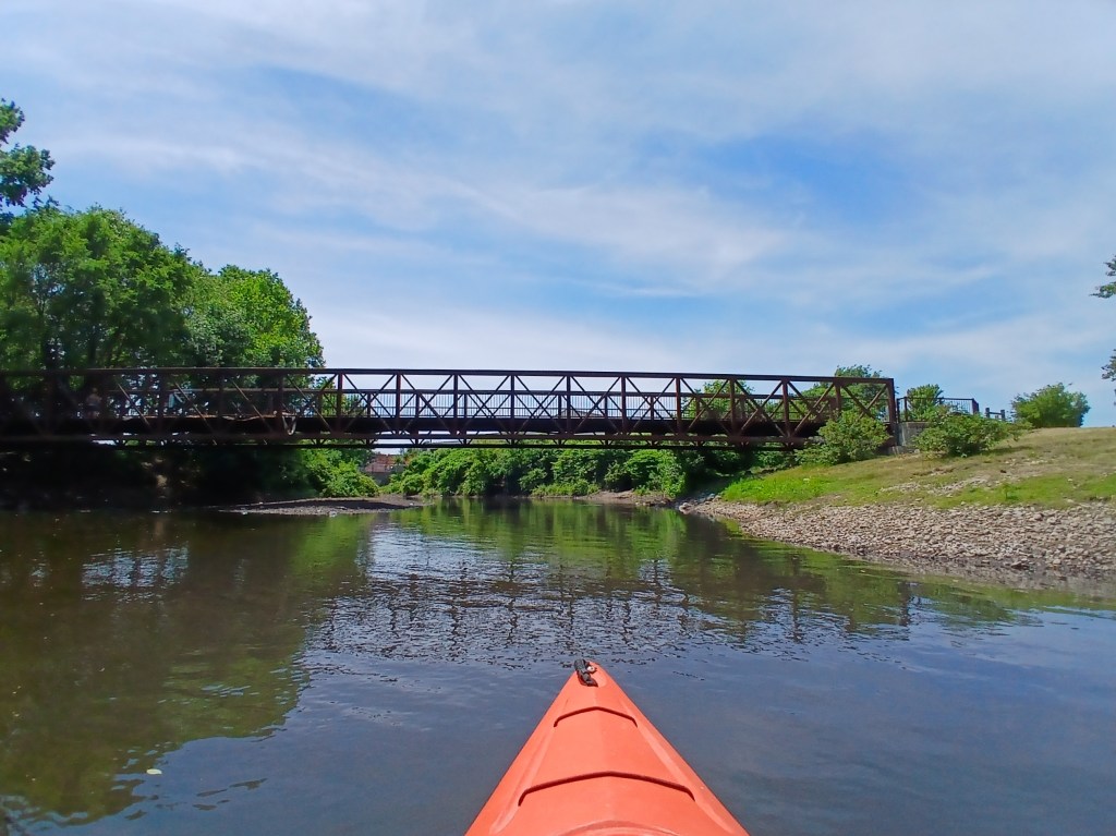
The West Street Drain flows into the west channel. Back in the day, the drain was home for brook trout. The bridge in the center of the photo is for the Kalamazoo River Valley Trail.
A look upstream at the north end of Glenn Allen Island:
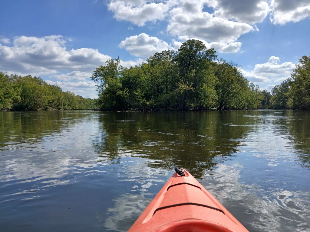
Islands are always fun to paddle around and explore.
A shell bar alongside an island provided a nice spot for a break. Shoals made of small mussel shells are quite common on some parts of the Kalamazoo River.
Passage around some of the islands was impossible.
Spring Brook (trout stream) flows into the river from the east.
The Kalamazoo Nature Center features 1100 acres with plenty of hiking trails and a deck overlooking the river.
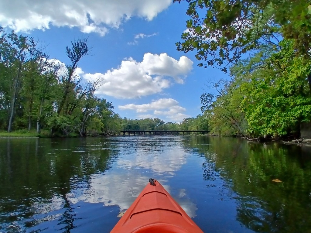
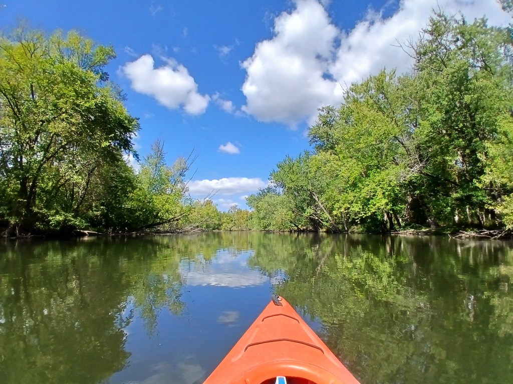
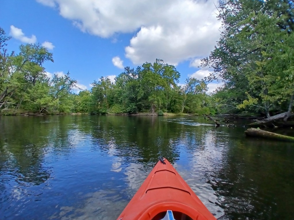
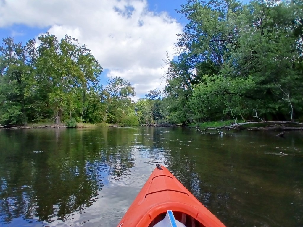
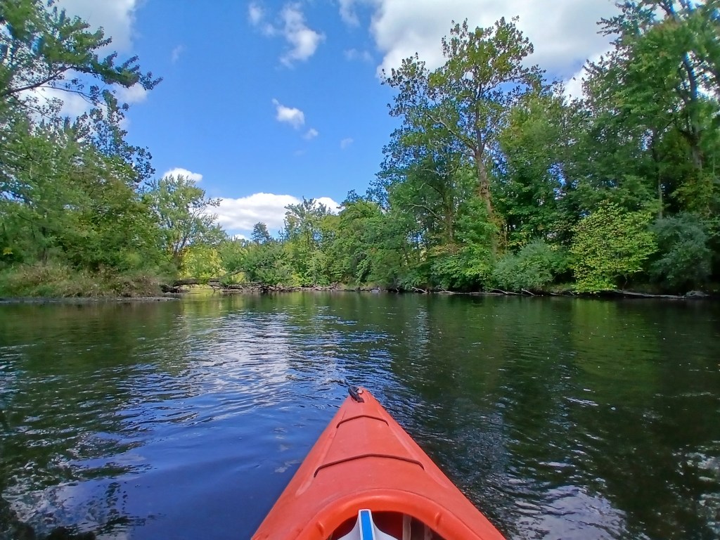
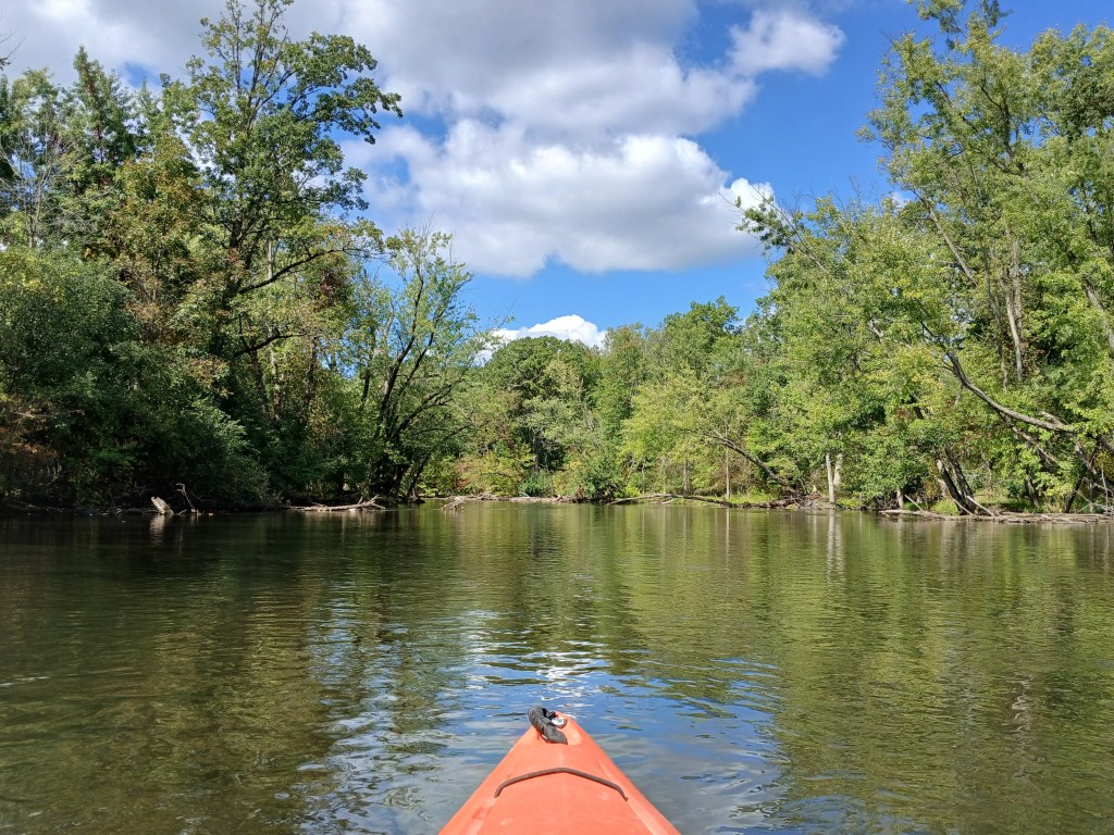
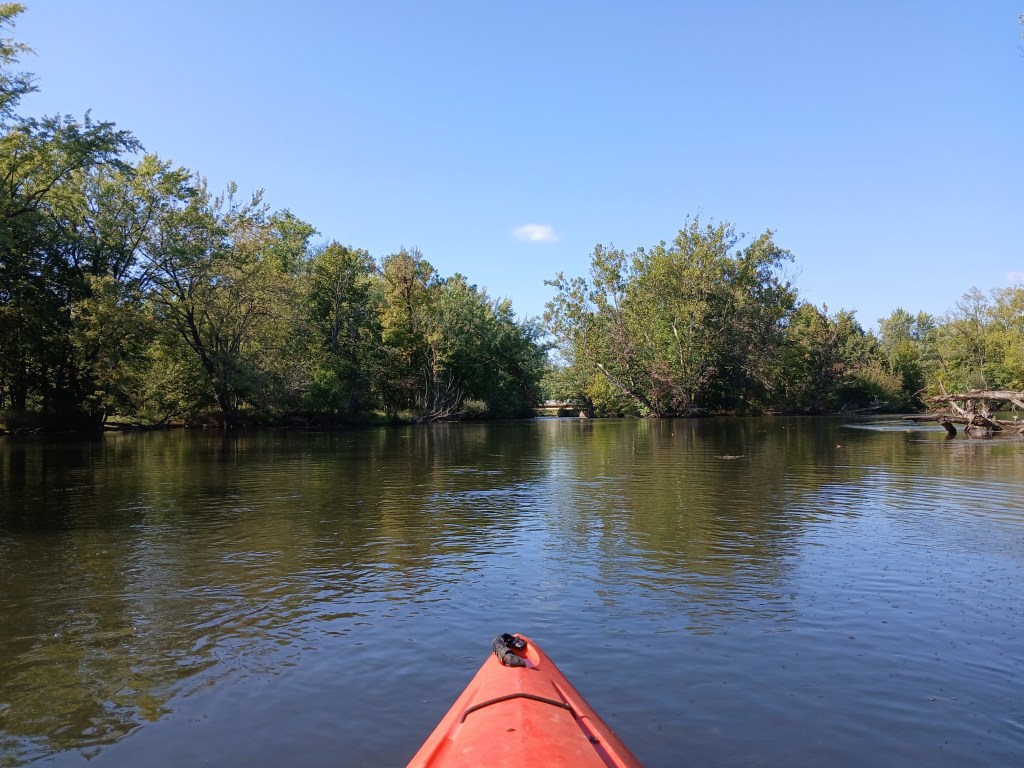
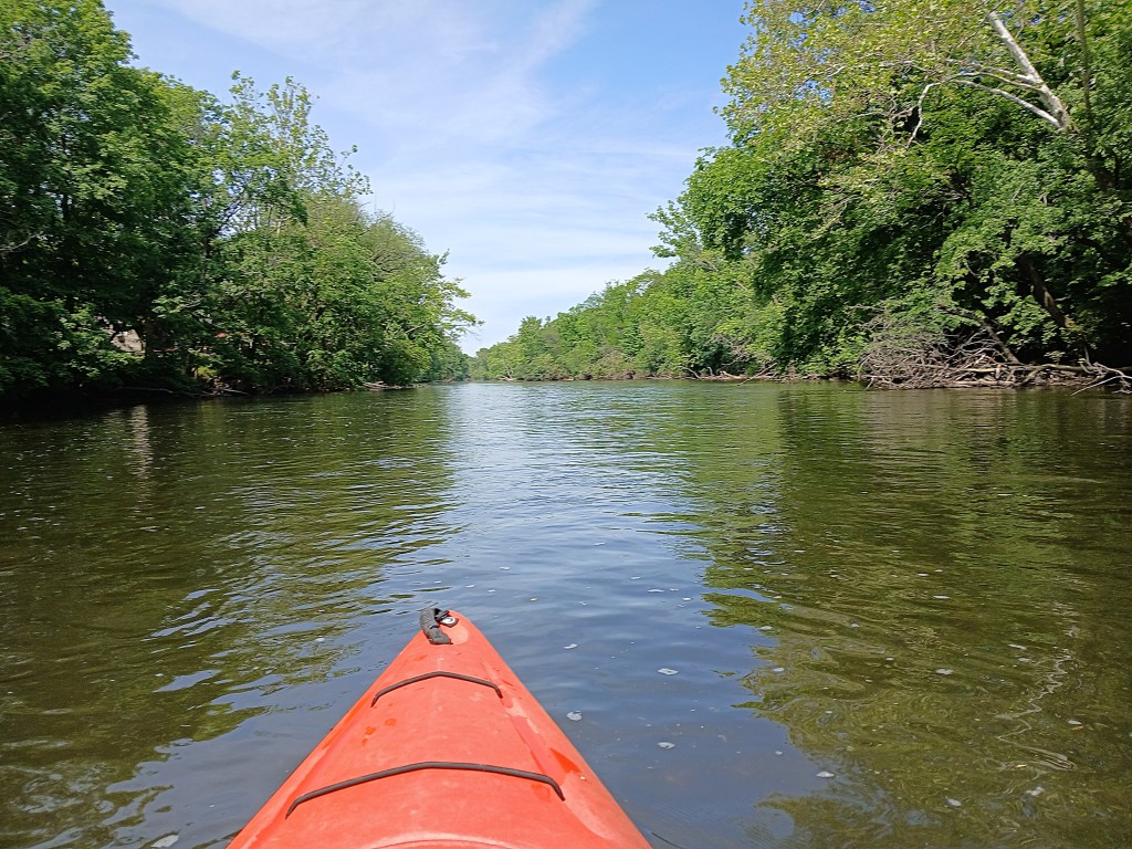
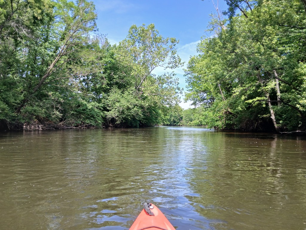
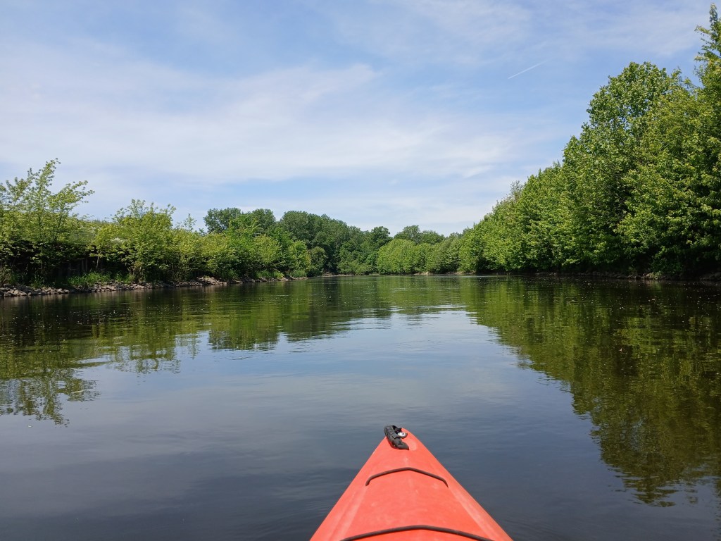
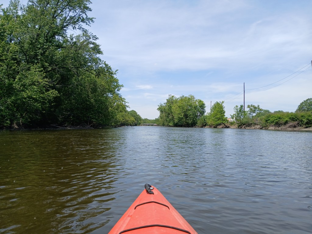
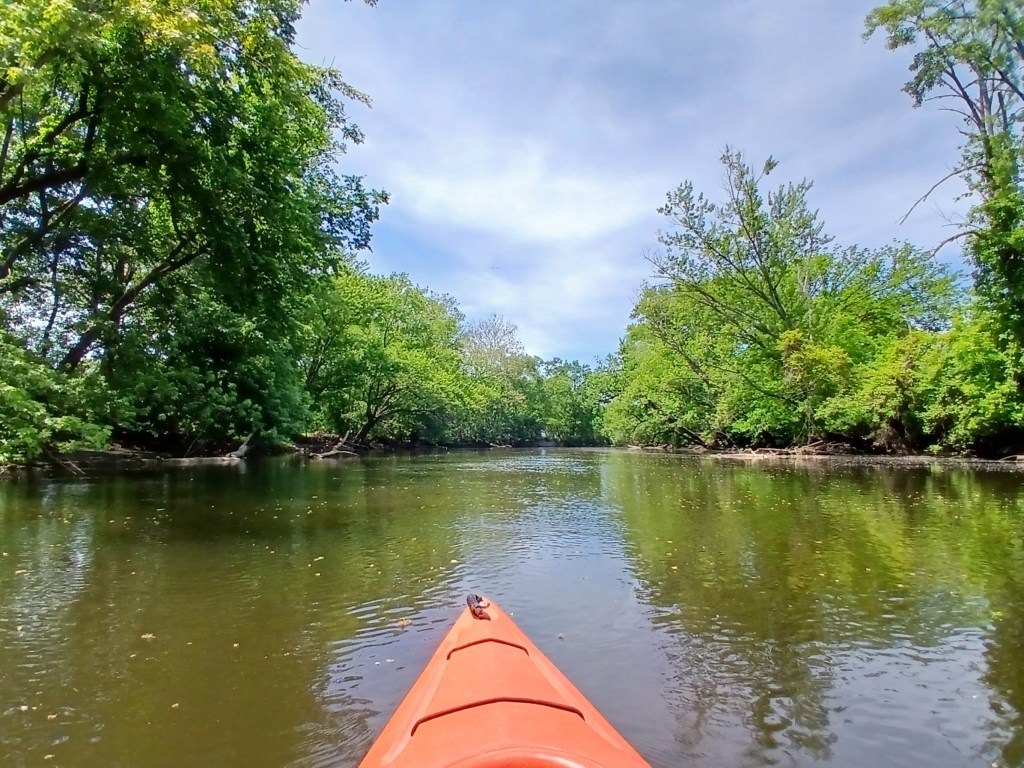
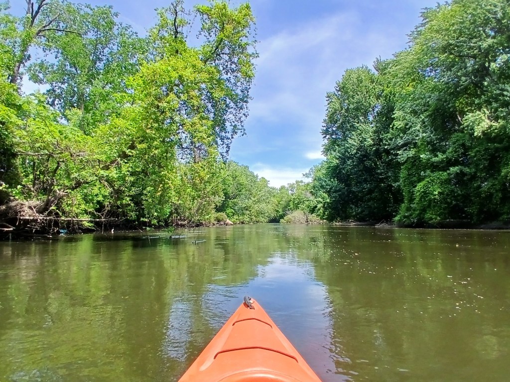
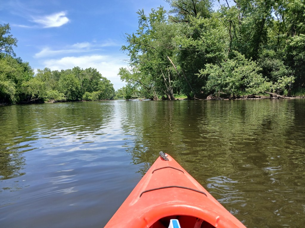
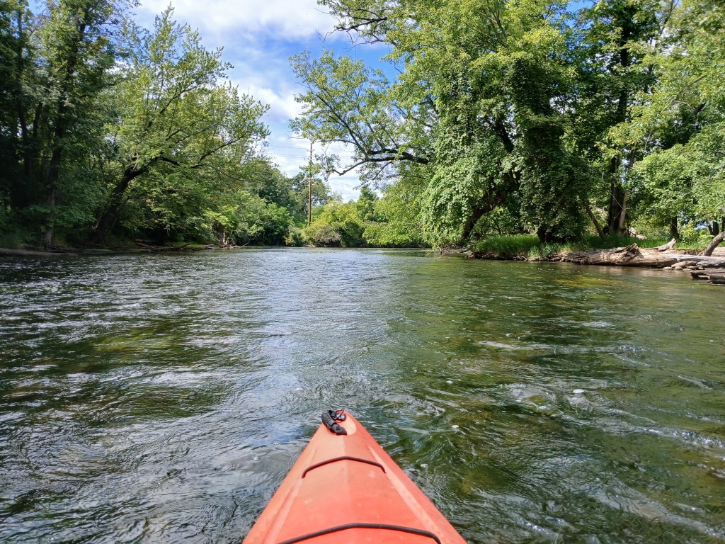
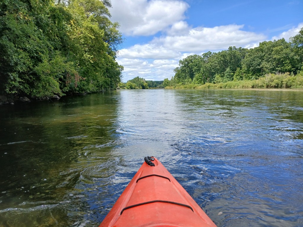
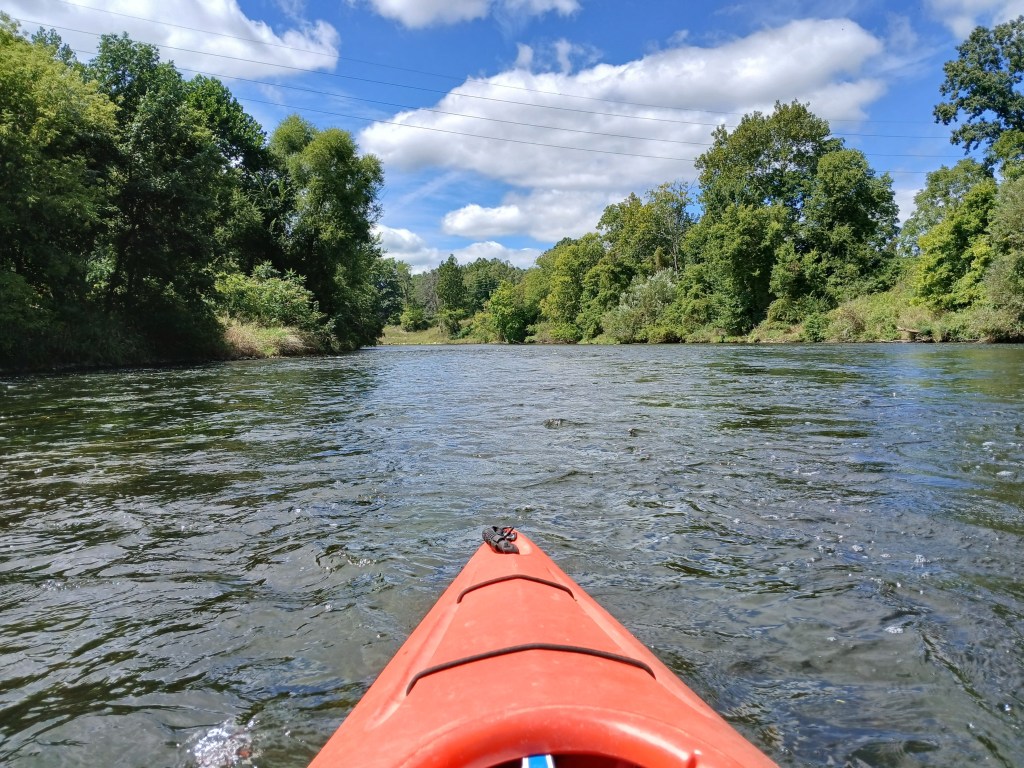
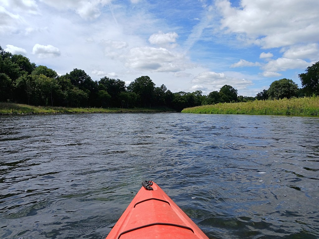
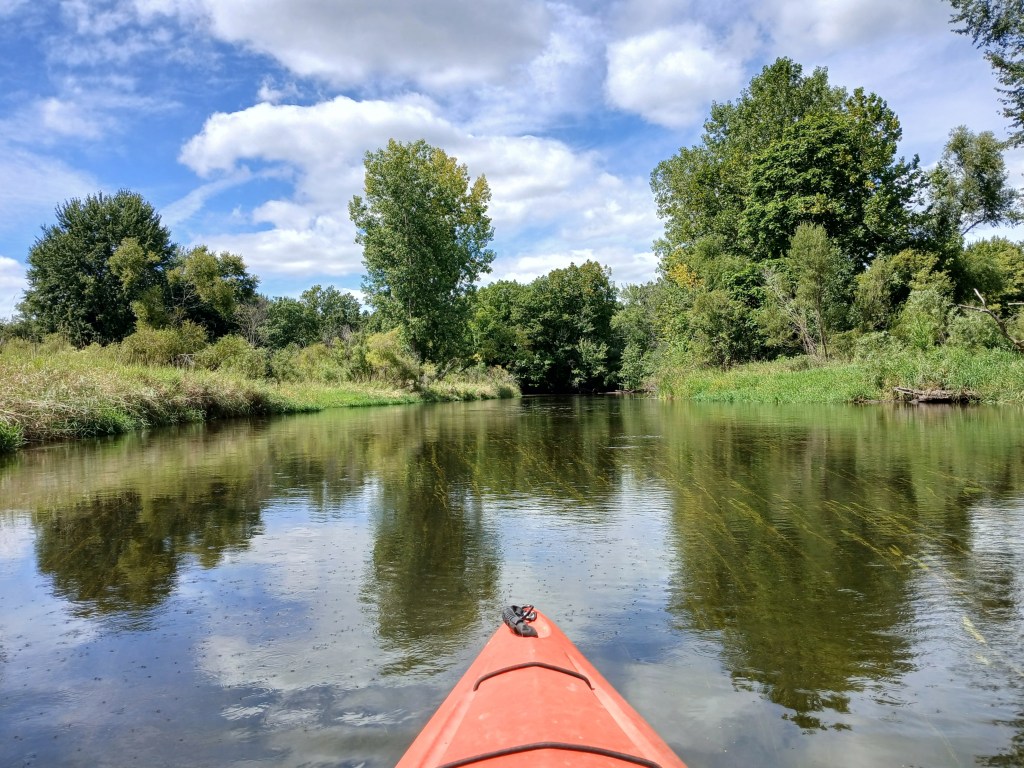
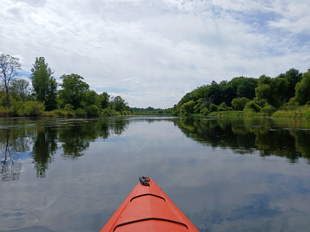
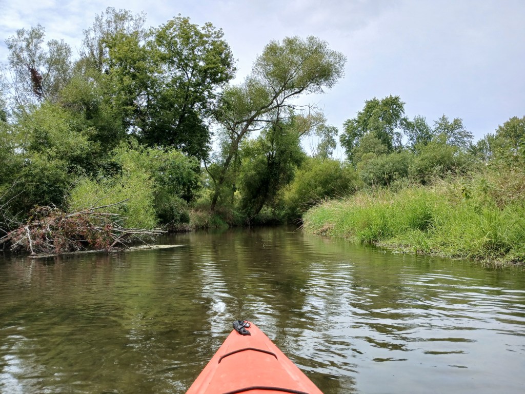
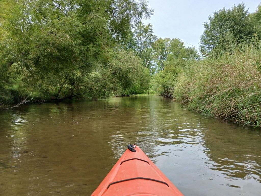
The river flows through the wooded countryside with long straightaways in between gentle curves.
At the end of the trip, two islands that appear as one island are immediately upstream from the D Avenue bridge.
I recommend taking the east (right) channel around the islands. The current is a bit faster around the islands and down river to the landing.
The boat landing is on the east side of the river, 300 feet downstream from the bridge. No restrooms.
This access is on private property. The property owners have been allowing access to the river for many years. Their kindness and generosity toward boaters and anglers allows everyone to enjoy this scenic river. Please respect their property. Fees are one dollar per boat and one dollar per vehicle. There is a collection box on a small deck at the rear of the home, by the garage. Fees are subject to change.
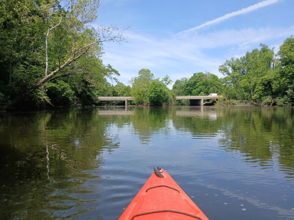
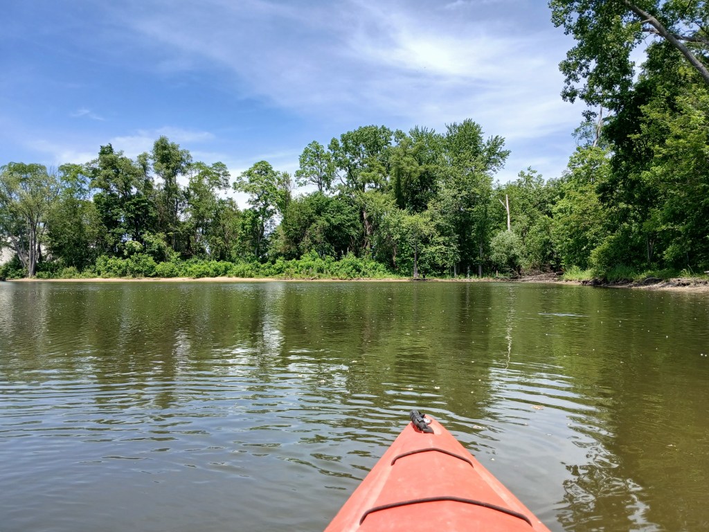
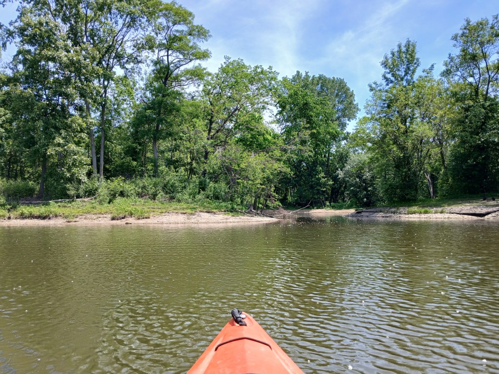
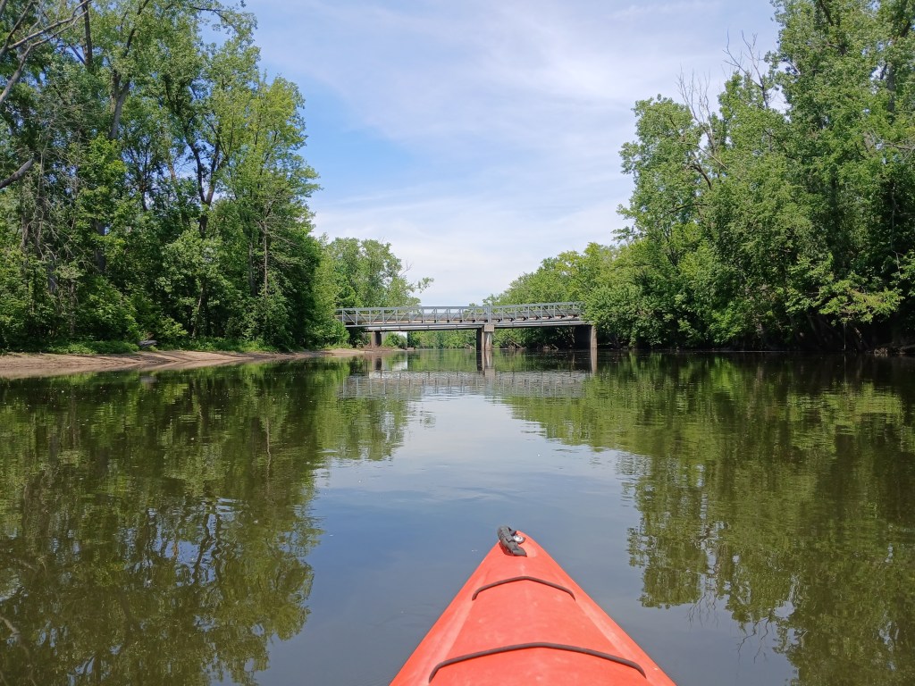
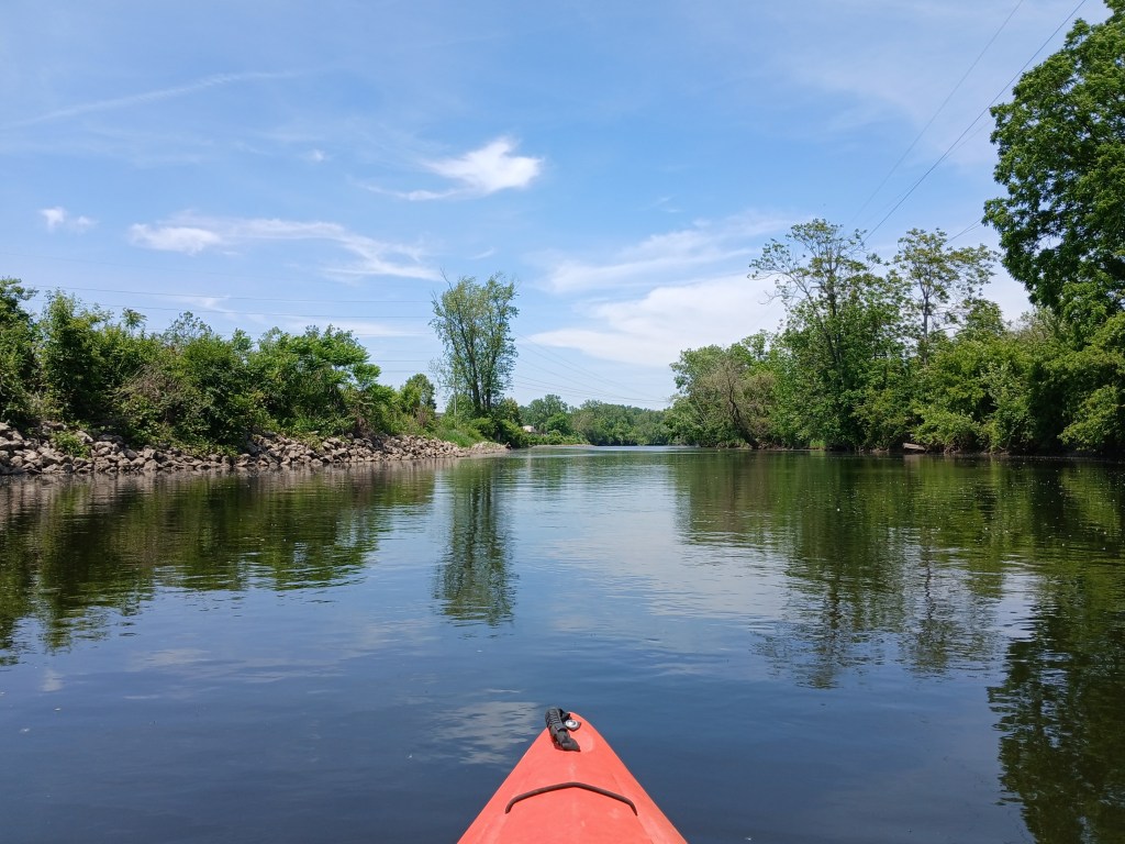
The Kalamazoo River flows through downtown Kalamazoo on its way from Comstock to Parchment. Before you recoil in horror at the mere thought of a urban kayak trip, let me assure you that you are in for a pleasant surprise. The river corridor is lined with trees that block out most of the city scenery. There is some traffic noise and industrial noise. Two locations on the river were very loud and annoying: a metal shredder at a recycle plant and a wastewater treatment plant. The Kalamazoo River Valley Trail (KRVT) parallels the river and crosses it three times. The river is wide and the current varies between slow and moderate. It is suitable for paddlers of all skill levels.
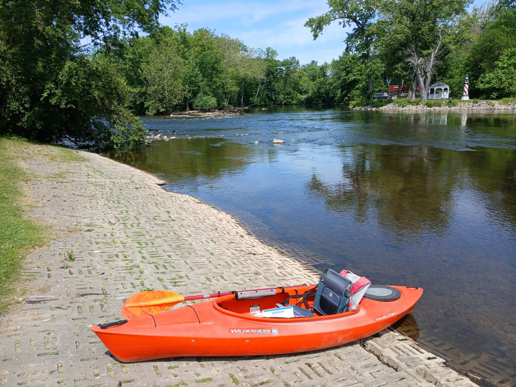
The trip begins at Merrill Park in Comstock. The park is on the corner of Comstock Avenue and River Street. Restrooms, a picnic shelter, and parking are all on site. I revisited this stretch of the river on a weekday in early June of 2026 and I saw no other boats on the water. The water level was low and the river was clear. After launching, take the channel on the left.
There is a short stretch of fast water beginning right at the boat ramp. The river shortly returns to a more tranquil speed. The river heads due east.
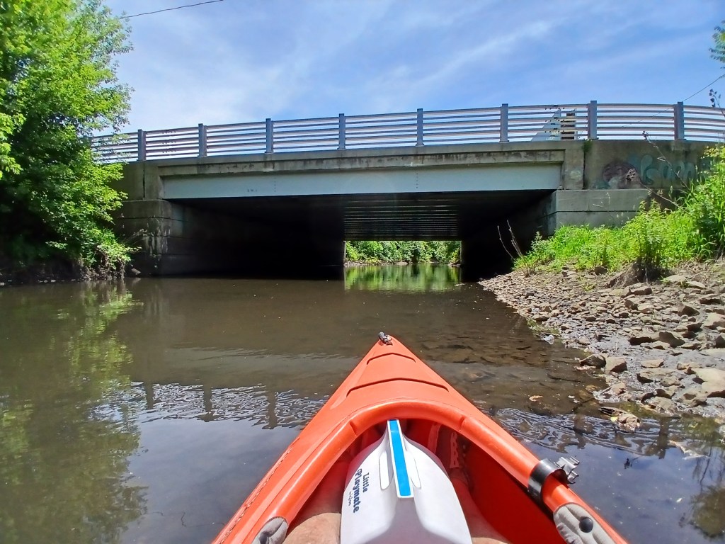
The Sprinkle Road bridge crosses the river and an island.
Both channels around the island are navigable. I chose the south channel.
Continuing downstream, Davis Creek flows into the river from the south.
Paddling up Davis Creek is a interesting little side trip.
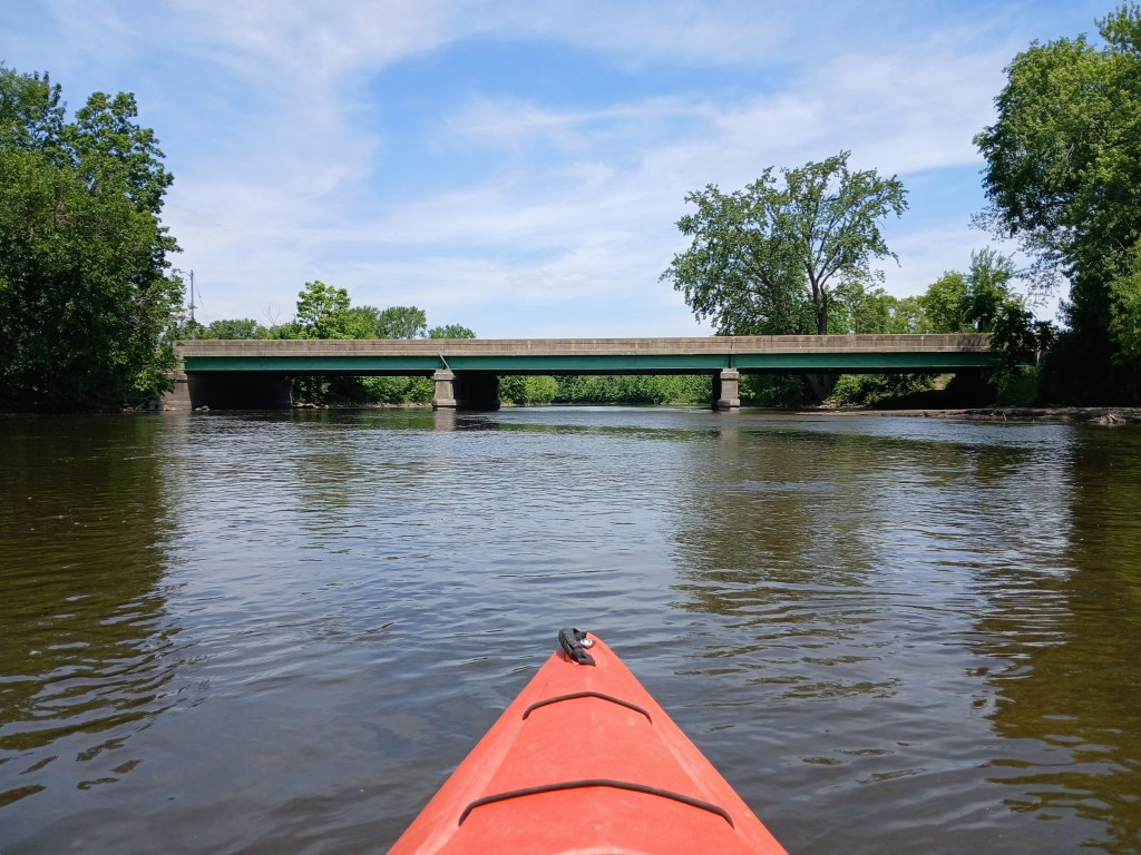
Next up is the M96 Kings Highway bridge followed by a partially wooded shoreline.
At a abandoned railroad bridge, a monster logjam appears to block progress down the river. However, safe passage can be found on the far right end of the bridge. Many thanks go out to the volunteers who cleared the way through the logjam. Their hard work is appreciated.
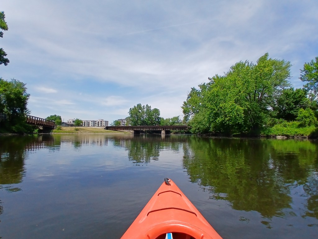
A gravel shoal made a nice spot for a break with a view upstream of a KRVT bridge and the railroad bridge
Heading downstream, the river is bordered by a Grand Elk Railroad switchyard on the right and Mayors Riverfront Park on the left. The park is home for the Kalamazoo Growlers baseball team and it also has a boat landing. The Mills Street bridge is way off in the distance.
Between the Mills Street bridge and the Michigan Avenue bridge, the river curves to the north for the rest of the trip. The Red Arrow Golf Course is on the left.
Downstream from the Michigan Avenue bridge, the Amtrak railroad bridge spans the river. Portage Creek flows into the river on the left. Another KRVT bridge crosses the creek.
Upstream from the river, Portage Creek flows under a Michigan Avenue bridge. The creek is a nice side trip, but it’s not particularly scenic.
Next to the Amtrak bridge, Arcadia Creek dumps into the Kalamazoo River.
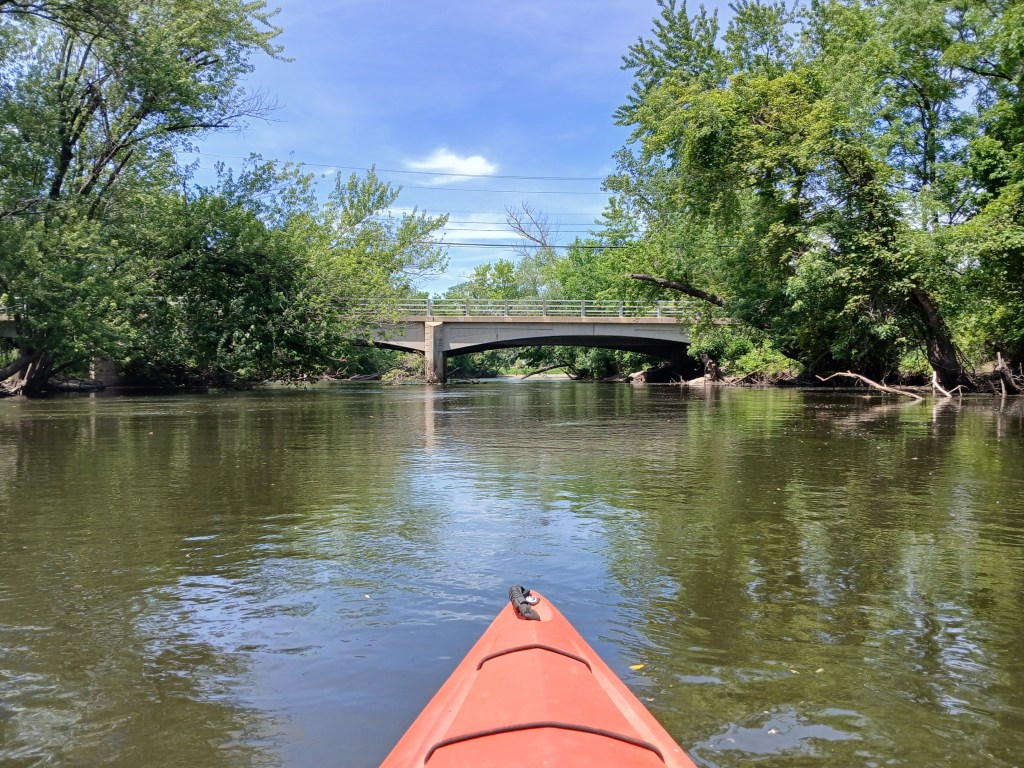
The river continues its northerly flow and passes under the Gull Road bridge.
Downstream from the Gull Road bridge, a short narrow channel on the left leads to a small lake in Verburg Park. The park has a boat landing on the lake that is vehicle accessible from Patterson Street. Verburg park is not very scenic, but it’s still worth a brief look.
Approaching the channel from the lake to the river:
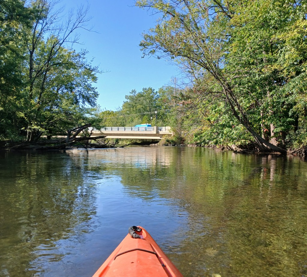
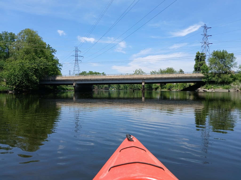
Next up is the Patterson Street bridge.
Between the Patterson Street bridge and the Mosel Road bridge, the river is bordered by the Kalamazoo Wastewater Treatment Plant on the left and a ugly power line on the right. I photographed the better looking parts of this section of the river and ignored the rest.
The last bridge before the end of this epic voyage is Mosel Road.
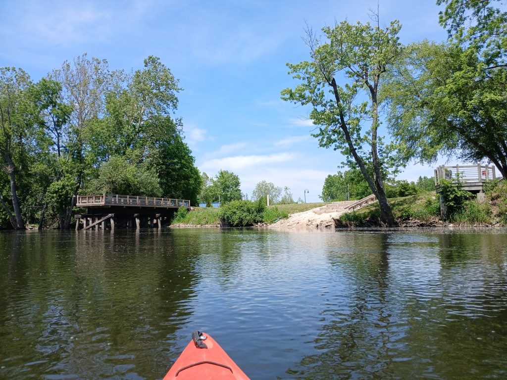
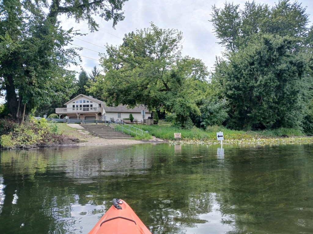
North of the bridge, River Front Park is on the east bank of the river. The trip ends at the boat landing on the north end of the park. The linear park is located on Commerce Lane in Parchment.
I didn’t like the boat landing. The steps were too far away from the water’s edge. The uneven surface below the steps made it difficult to pull a kayak up to the boat slide. I found it almost impossible to use the boat slide by myself. In retrospect, I should’ve used the old landing, which is about fifty feet upstream. It wasn’t a very good way to end a great trip. Overall, it was a beautiful afternoon on the river!
Update: After my trip, I contacted the City of Parchment. Improvements to the landing are in the planning stages.
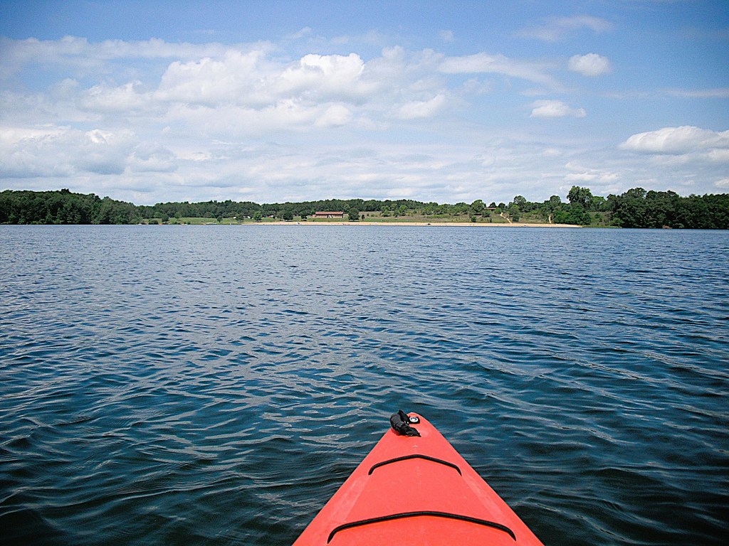
The entrance to Fort Custer State Recreation Area is on highway M96, just east of the village of Augusta. Eagle Lake is the largest of the four lakes within the recreation area. The lake features two basins connected by the narrows. The dam and its spillway tower are on the narrows. The east basin has a large island. The east and west basins are separated by a long peninsula. A hill runs the length of the peninsula. The east basin is home to a long, sandy beach with modern restrooms. A swimming area compliments the beach. Picnic shelters are behind the beach on top of a hill.
The boat launch area is on the northeast corner of the east basin. Follow the park signs to the landing.
With the exception of the dam, the beach, and the picnic area, the shoreline is all wooded.
If you are a stealthy paddler, expect to see lots of fish in the shoreline shallows. Most of the fish are carp, but bass and bluegills are also present.
Just south of the boat landing, on the east side of the east basin, is a good sized cove with a small stream flowing into it.
A little farther down the shoreline is another smaller cove.
A small unnamed creek flows into the cove.
Continuing south along the east side of the east basin, a wide channel separates the egg-shaped island from the mainland.
The island doesn’t see much foot traffic. A steep hill drops down to the water’s edge on the north side of the island.
On the south side of the island, the hill gently slopes down to the shoreline.
On the southeast corner of the east basin, there is a large, lily pad covered cove with a stream running into it.
I have tried paddling this cove several times, but I kept running into water that was too shallow to float my boat.
The south end of the east basin, especially south of the island, looks completely covered by lily pads and other aquatic vegetation.
On this part of the lake, shoreline shade prevents vegetation from growing, leaving a water trail for kayakers to follow.
In order to get from the east basin of Eagle Lake to the west basin, paddle through the narrows, located on the northwest corner of the east basin.
As you head into the west basin, there is a point on the right.
The tip of the point is a great spot to stop and take a break. This is also my favorite swimming hole.
The west basin is a great body of water to explore. A cove on the southeast corner offers a nice view of the lake.
There is a scenic point on the south shore.
On the northwest corner, a small cove offers a splendid view.
The narrows will take you back to the east basin of the lake and the boat landing.
Approaching the narrows from the west basin.Approaching the east basin from the narrows.
Plainwell has two city parks with boat landings on the Kalamazoo River. I have used both landings on different occasions. Either one is a good choice. Darrow Park is on the west side of the river on Hicks Street, south of M89.
The next three photos follow the Kalamazoo River through Plainwell from Darrow Park to the 10th Street/Main Street bridge.
Two islands are immediately downstream from the 1oth Street bridge. Fannie Pell Park is south of the first island. I started my trip at the Pell Park boat landing.
The friendly folks at Plainwell Kayak Company spotted my car at the landing in Otsego for a reasonable fee. They also rent kayaks.
The Plainwell Mill Race flows into the Kalamazoo River next to Pell Park
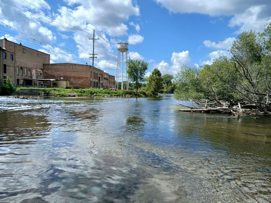
Downstream from Pell Park, the old paper mill dominates the scenery.
Just past the mill, the river splits into four channels around three islands.
The south (left) two channels are recommended for safe passage.
Continuing downstream, the river flows straight west to the US131 bridge.
Under the bridge, light rapids are waiting for kayakers. Choose between two channels, one on either side of the center bridge support. The left photo is the north channel viewed from downstream. The right photo is the south channel viewed from upstream. Both channels are rocky and shallow.
The former site of the Plainwell Dam is about a mile downstream from the US131 bridge. The dam was removed and the river was restored to its original course. When the backwater of the dam was drained, the contaminates of the exposed lake bed and riverbank were removed. The result of all this is a mile of river with swift current and some light rapids.
Downstream from the old dam site, the river slows and divides into many channels, creating a bunch of islands. “Spreads” is a common term for this feature. I recommend exploring around the islands of this partially wooded lowland. There’s always a chance that some of the channels might be blocked by fallen trees, so be prepared to turn around and seek another channel.
Eventually, all the channels of the spreads combine to form one channel.
After the spreads, I explored a small channel that branched off to the north.
The Gun River flows into this channel, but it wasn’t navigable. I continued down the channel.
After an easy portage, the channel rejoined the river.
This side trip was cool!
When the USG Mill (formerly Otsego Paper Mill) comes into view, you will be close to the end of your trip. The Jewel Street boat landing is on the south side of the river, 500 feet upstream from the Otsego City Dam. If you go over the dam, then you missed the landing.
On this trip, the Kalamazoo River was right next to the busy Plainwell-Otsego commercial corridor. The scenery on the river made me forget about the hustle and bustle that’s just a short distance away.
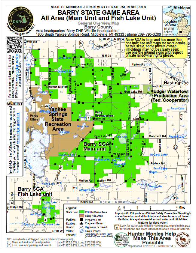
These two areas are conveniently located about halfway between the two cities of Grand Rapids and Kalamazoo. Yankee Springs State Recreation Area is 5200 acres in size. The adjacent Barry State Game Area consists of 16,784 acres. There is plenty of room to roam. It’s big enough to get lost in. I have been turned around in the area more than once. That’s a fancy way of saying that I got lost, but I somehow always managed to find my way. Most people, myself included, refer to the two areas as one, Yankee Springs. The area is mostly forested with a mixture of hardwoods and softwoods. Yankee Springs is laced with unmaintained county roads and unimproved trails that are fun to drive. Hiking trails and mountain biking trails are plentiful. The centerpiece of the area is the beautiful Gun Lake. With the exception of the recreation area, the lakeshore is fully developed. Boat traffic can be heavy at times. The Gun Lake shoreline, including islands and channels, is 24.4 miles in length and provides kayakers with endless hours of enjoyment. There are two campgrounds in the recreation area: the Gun Lake Unit and the Deep Lake Unit. The list of lakes to kayak is long.
Deep Lake
If you are driving a considerable distance to get to Yankee Springs, you may want to paddle more than one lake in a day trip. Due to the small size of most of the lakes, you can easily kayak several lakes in a day while still maintaining a leisurely pace. I never like to hurry when kayaking. As I revisit the many lakes and some small streams, I will post photos and text about each location. I hope these posts will compel you to kayak this area. I think you will enjoy Yankee Springs as much as I do.
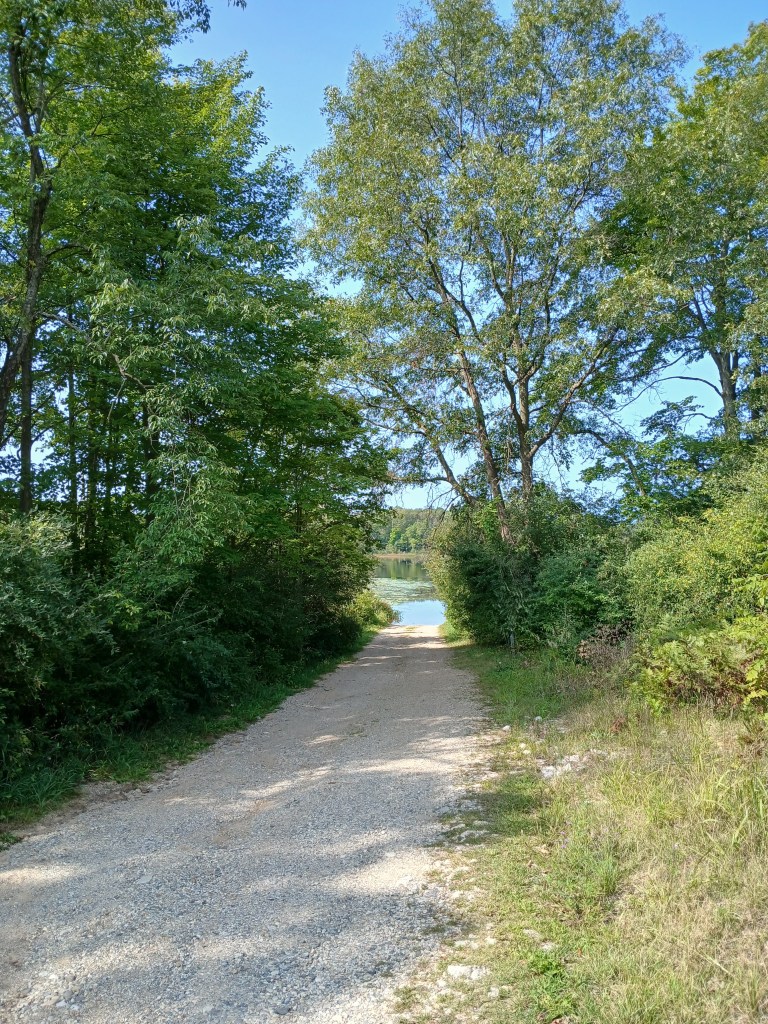
This lake is easy to get to. Take Norris Road north from M179 for about a mile. The boat launch is on the west side of the road. The MDNR access site is primitive.
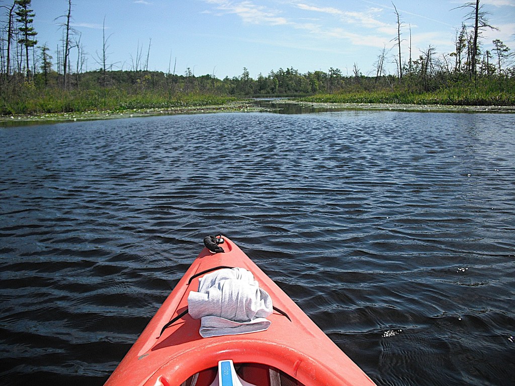
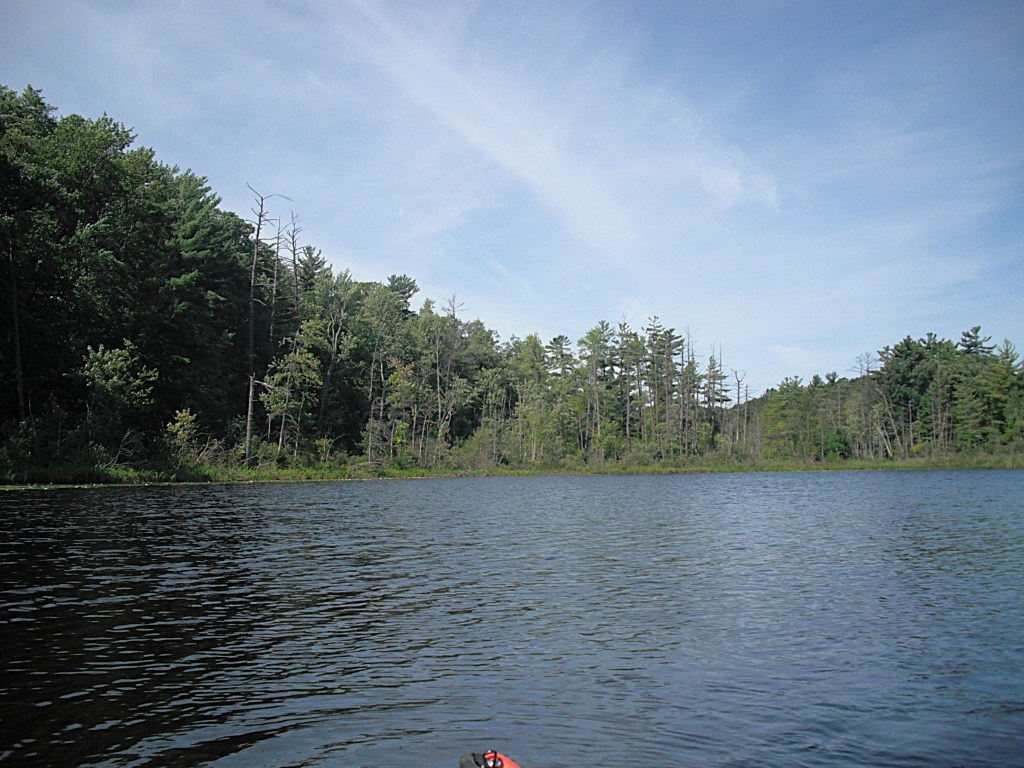
The Baker Lake shoreline is mostly marsh backed by woods. Most of the lake is bounded by public land and there is one home on the lake.
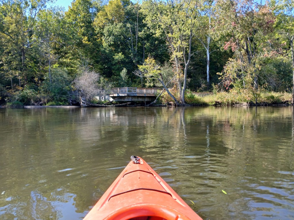
I paddled a short channel to Mud Lake.
Once there, I paddled a creek that goes to Chief Noonday Lake.
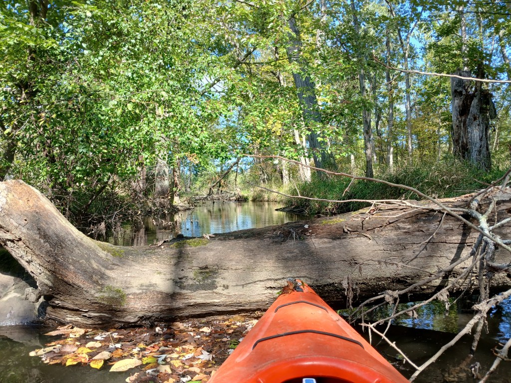
I was stopped by a beaver dam and thick brush. I turned around and headed back to Mud Lake.
After touring the rest of the Mud Lake shoreline, I paddled the channel back to Baker Lake.
On Mud L., Approaching the channel.
I finished by cruising the rest of the Baker Lake shoreline back to the boat launch.