The Kalamazoo River flows through downtown Kalamazoo on its way from Comstock to Parchment. Before you recoil in horror at the mere thought of a urban kayak trip, let me assure you that you are in for a pleasant surprise. The river corridor is lined with trees that block out most of the city scenery. There is some traffic noise and industrial noise. Two locations on the river were very loud and annoying: a metal shredder at a recycle plant and a wastewater treatment plant. The Kalamazoo River Valley Trail (KRVT) parallels the river and crosses it three times. The river is wide and the current varies between slow and moderate. It is suitable for paddlers of all skill levels.
The trip begins at Merrill Park in Comstock. The park is on the corner of Comstock Avenue and River Street. Restrooms, a picnic shelter, and parking are all on site. I revisited this stretch of the river on a weekday in early June of 2026 and I saw no other boats on the water. The water level was low and the river was clear. After launching, take the channel on the left.
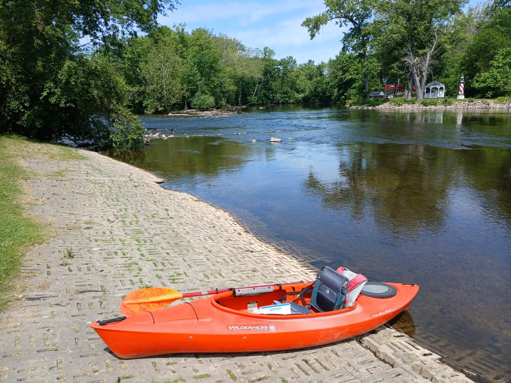
There is a short stretch of fast water beginning right at the boat ramp. The river shortly returns to a more tranquil speed. The river heads due east.
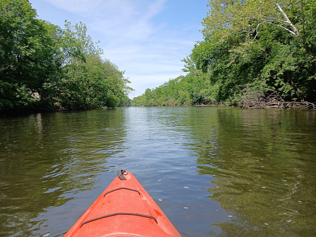
The Sprinkle Road bridge crosses the river and an island.
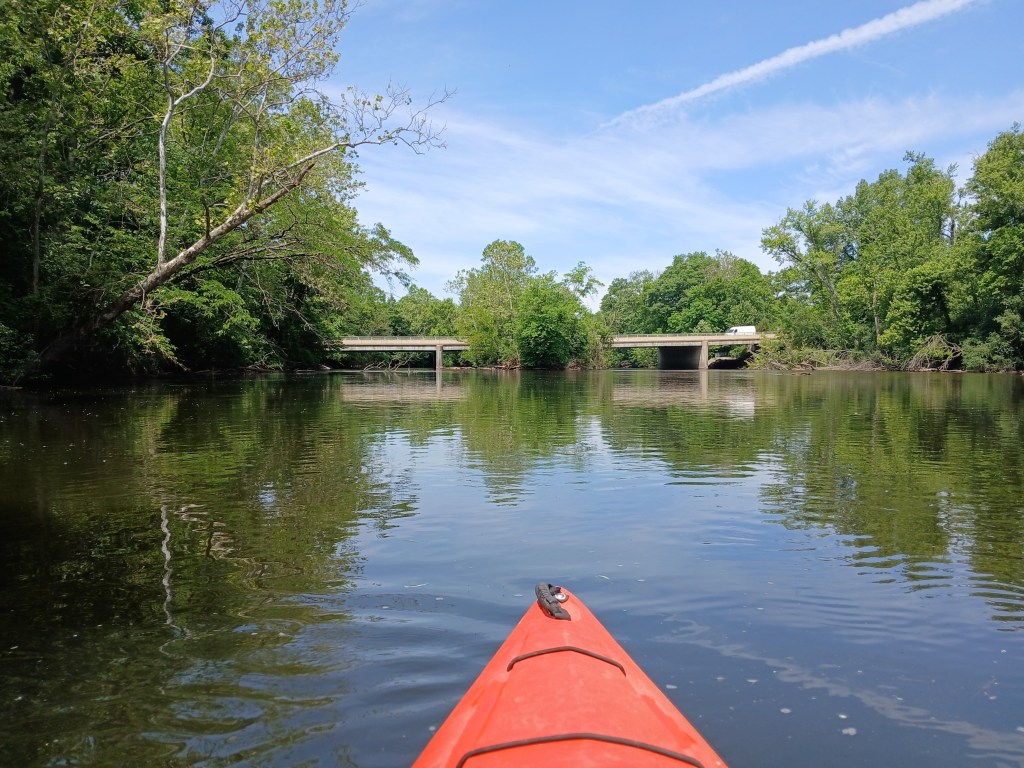
Both channels around the island are navigable. I chose the south channel.
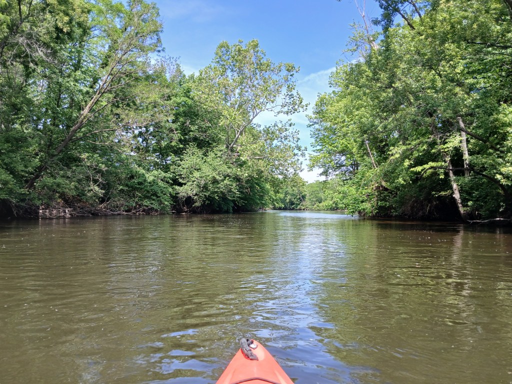
Continuing downstream, Davis Creek flows into the river from the south.
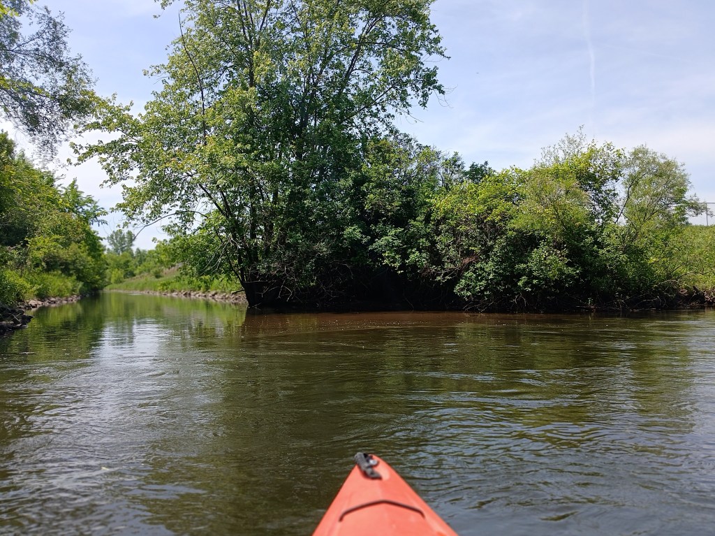
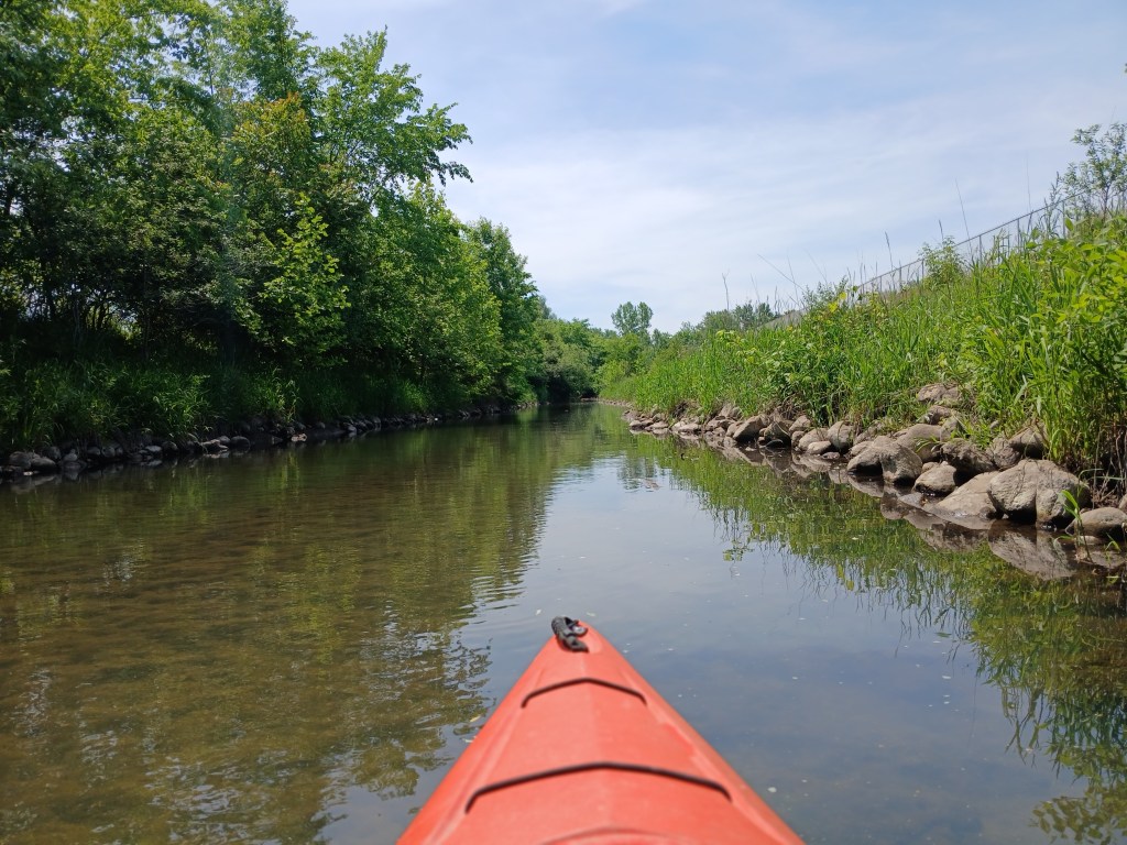
Paddling up Davis Creek is a interesting little side trip.
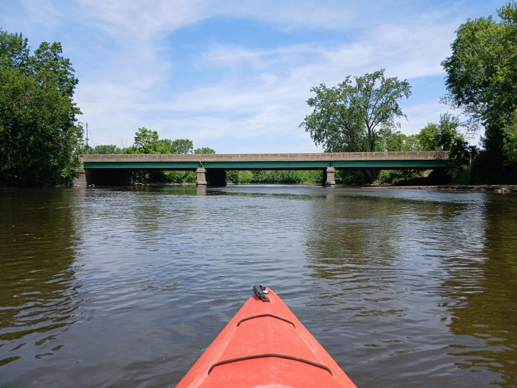
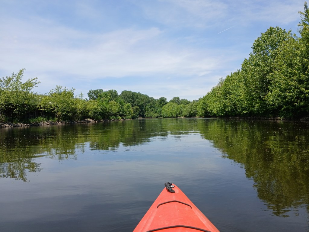
Next up is the M96 Kings Highway bridge followed by a partially wooded shoreline.
At a abandoned railroad bridge, a monster logjam appears to block progress down the river. However, safe passage can be found on the far right end of the bridge. Many thanks go out to the volunteers who cleared the way through the logjam. Their hard work is appreciated.
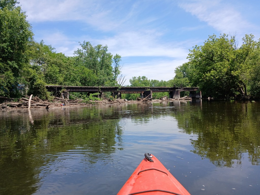
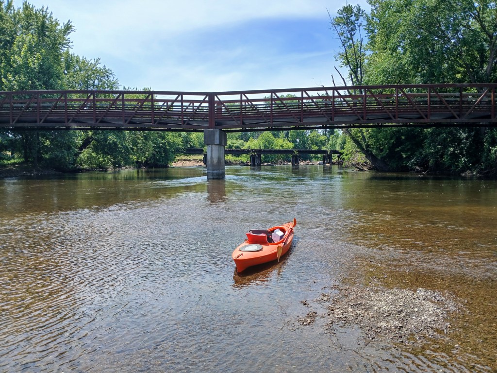
A gravel shoal made a nice spot for a break with a view upstream of a KRVT bridge and the railroad bridge
Heading downstream, the river is bordered by a Grand Elk Railroad switchyard on the right and Mayors Riverfront Park on the left. The park is home for the Kalamazoo Growlers baseball team and it also has a boat landing. The Mills Street bridge is way off in the distance.
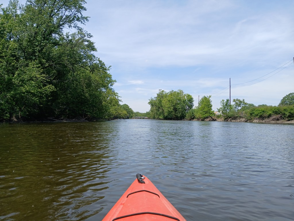
Between the Mills Street bridge and the Michigan Avenue bridge, the river curves to the north for the rest of the trip. The Red Arrow Golf Course is on the left.
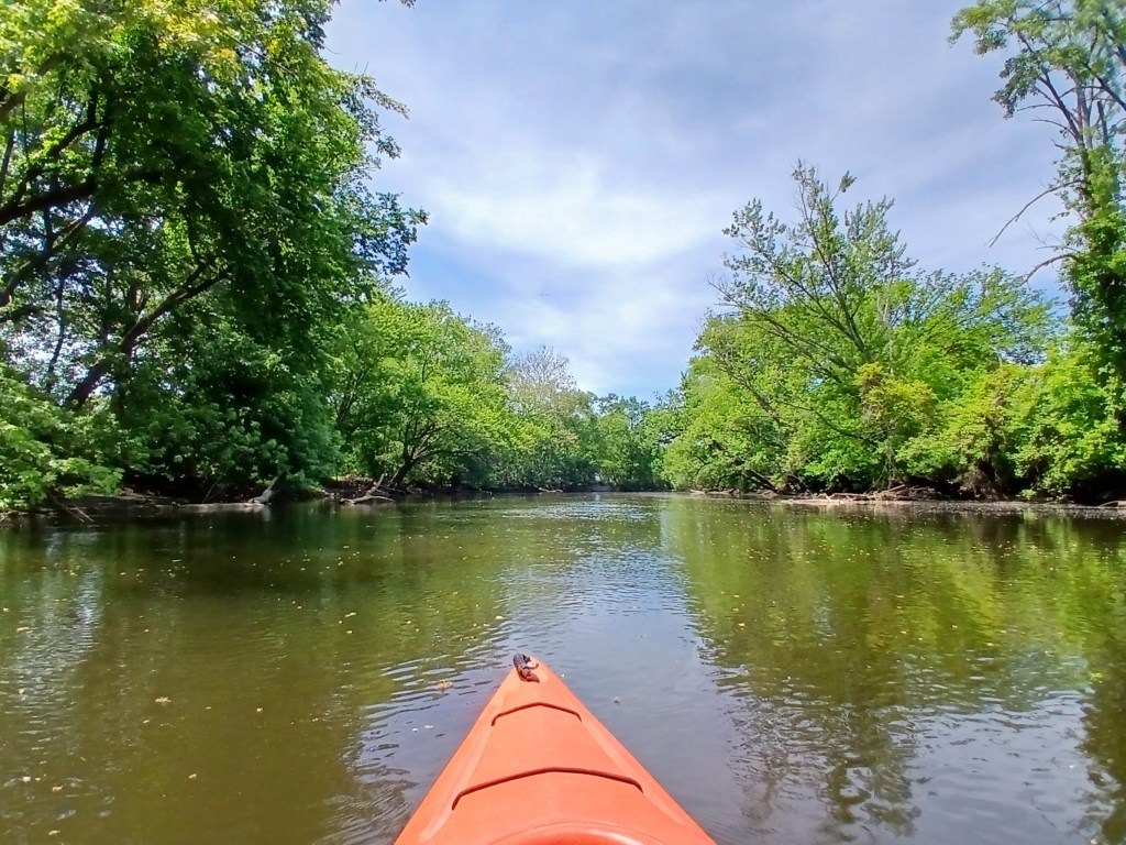
Downstream from the Michigan Avenue bridge, the Amtrak railroad bridge spans the river. Portage Creek flows into the river on the left. Another KRVT bridge crosses the creek.
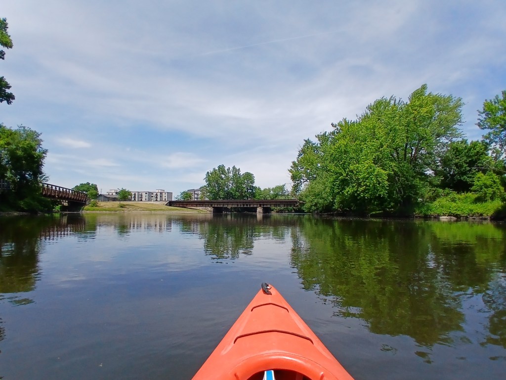
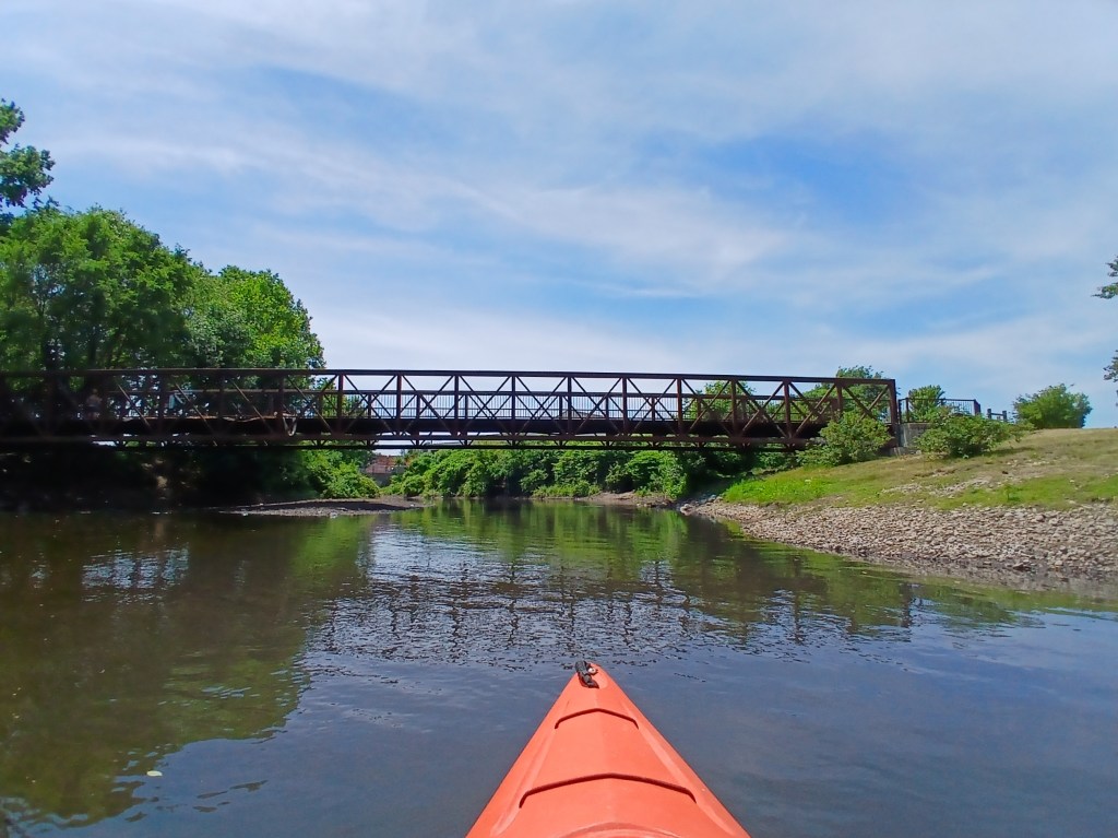
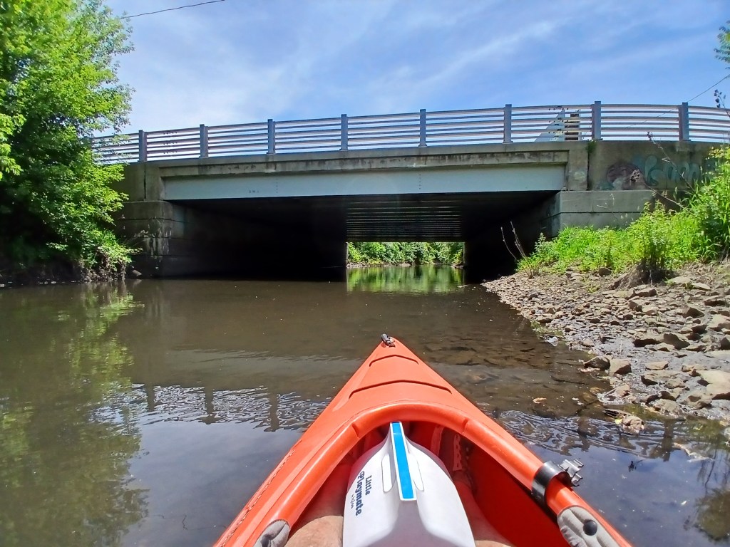
Upstream from the river, Portage Creek flows under a Michigan Avenue bridge. The creek is a nice side trip, but it’s not particularly scenic.
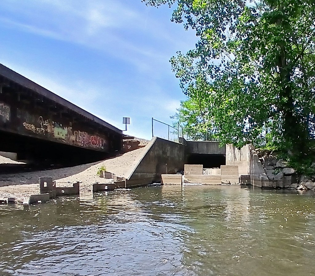
Next to the Amtrak bridge, Arcadia Creek dumps into the Kalamazoo River.
The river continues its northerly flow and passes under the Gull Road bridge.
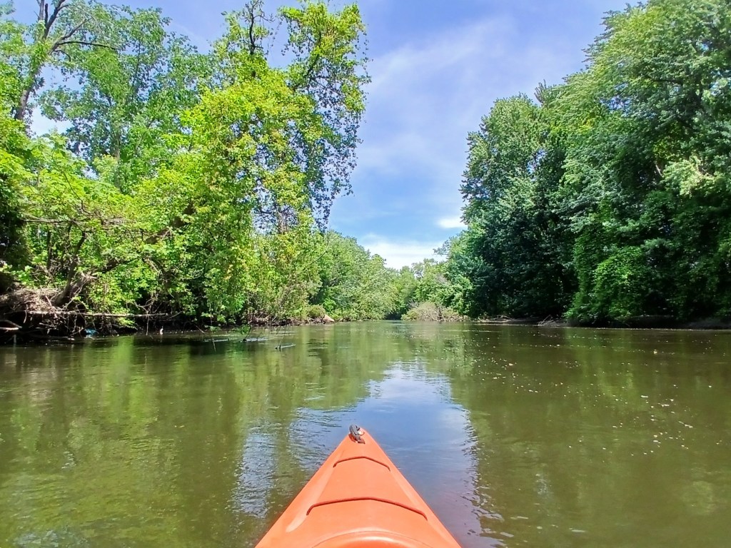
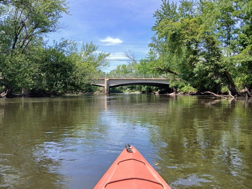
Downstream from the Gull Road bridge, a short narrow channel on the left leads to a small lake in Verburg Park. The park has a boat landing on the lake that is vehicle accessible from Patterson Street. Verburg park is not very scenic, but it’s still worth a brief look.
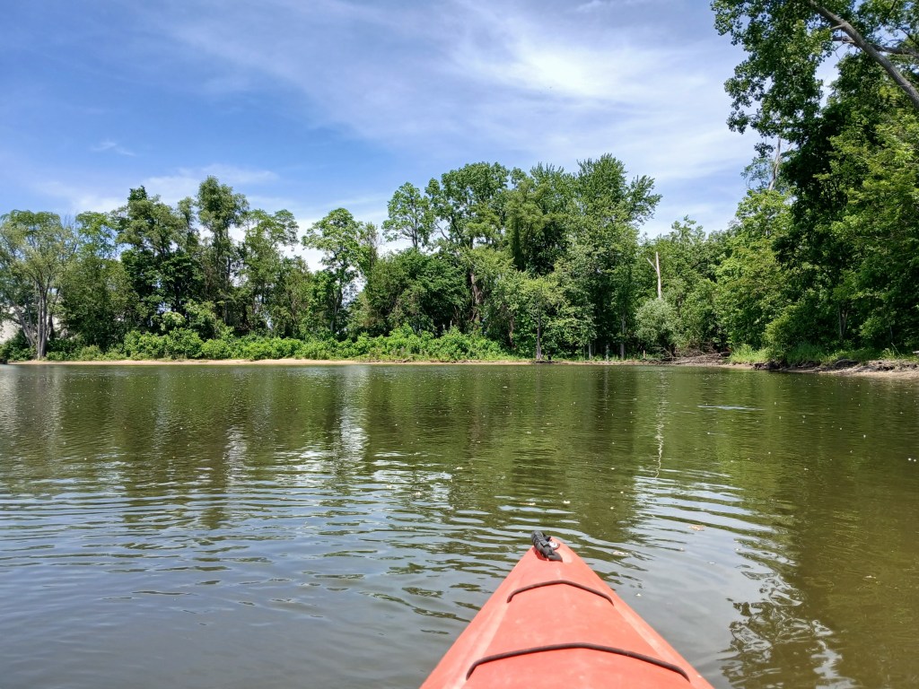
Approaching the channel from the lake to the river:
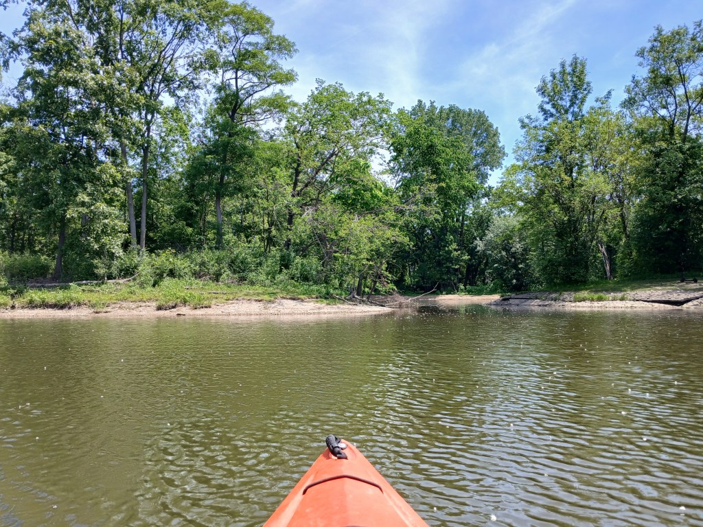
Next up is the Patterson Street bridge.
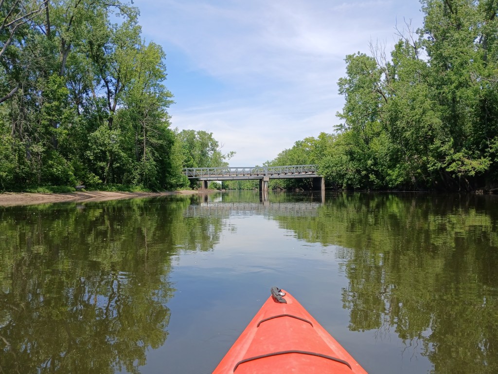
Between the Patterson Street bridge and the Mosel Road bridge, the river is bordered by the Kalamazoo Wastewater Treatment Plant on the left and a ugly power line on the right. I photographed the better looking parts of this section of the river and ignored the rest.
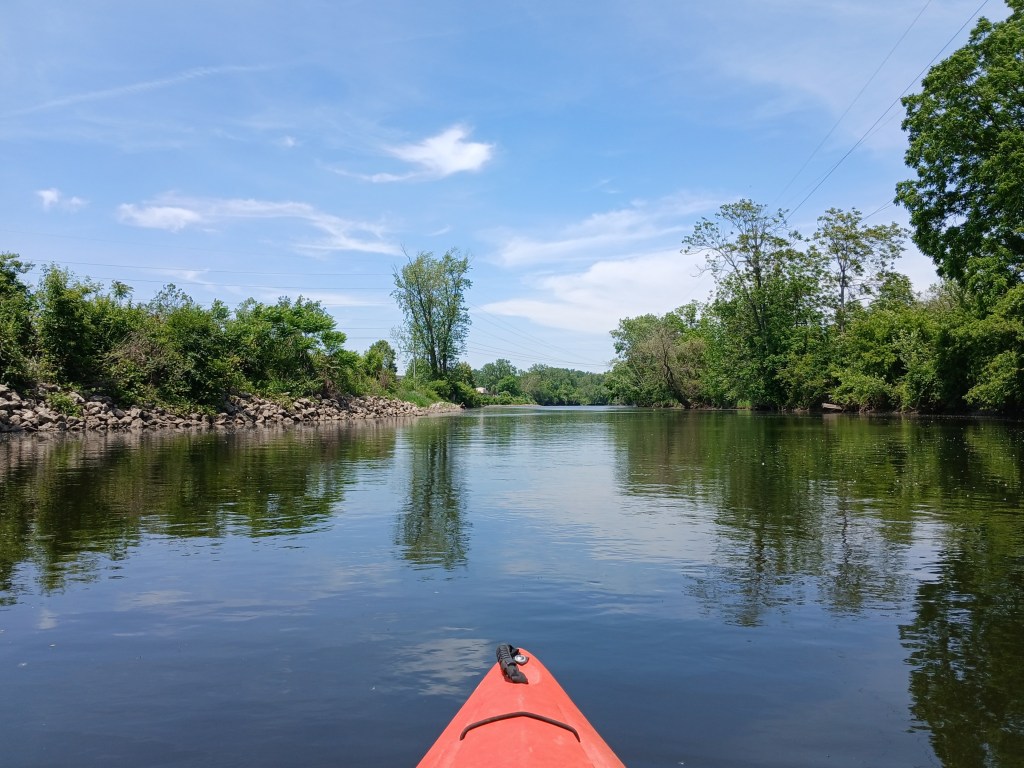
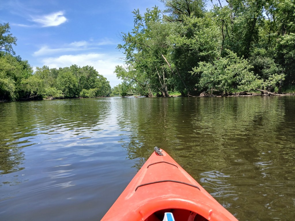
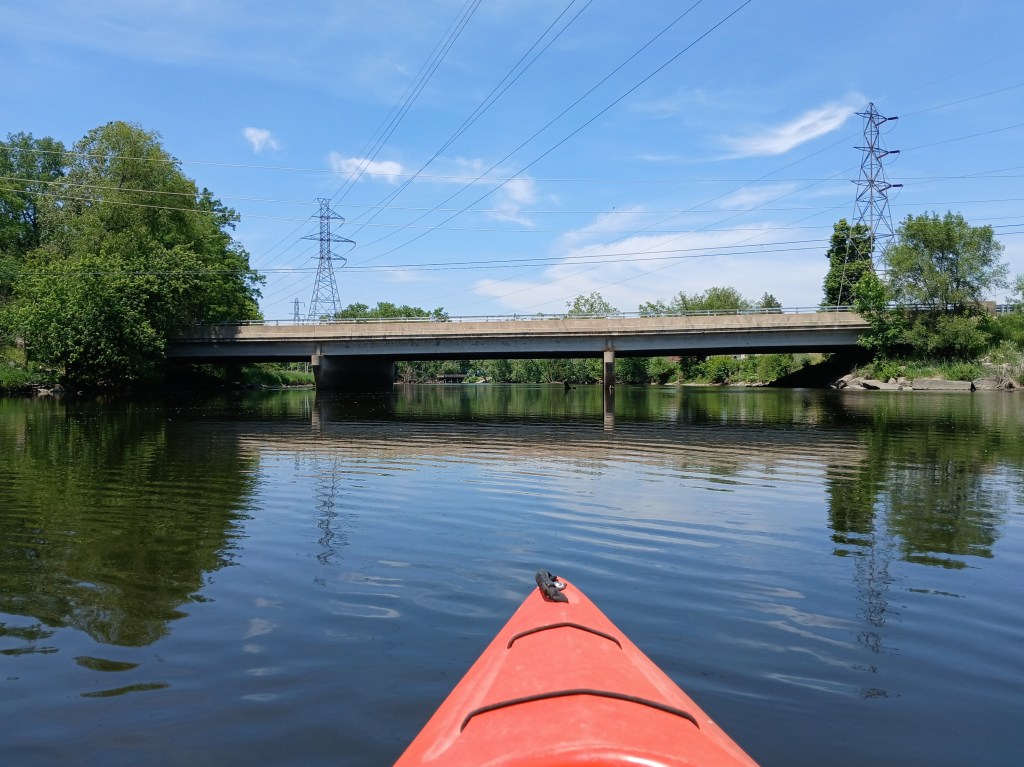
The last bridge before the end of this epic voyage is Mosel Road.
North of the bridge, River Front Park is on the east bank of the river. The trip ends at the boat landing on the north end of the park.
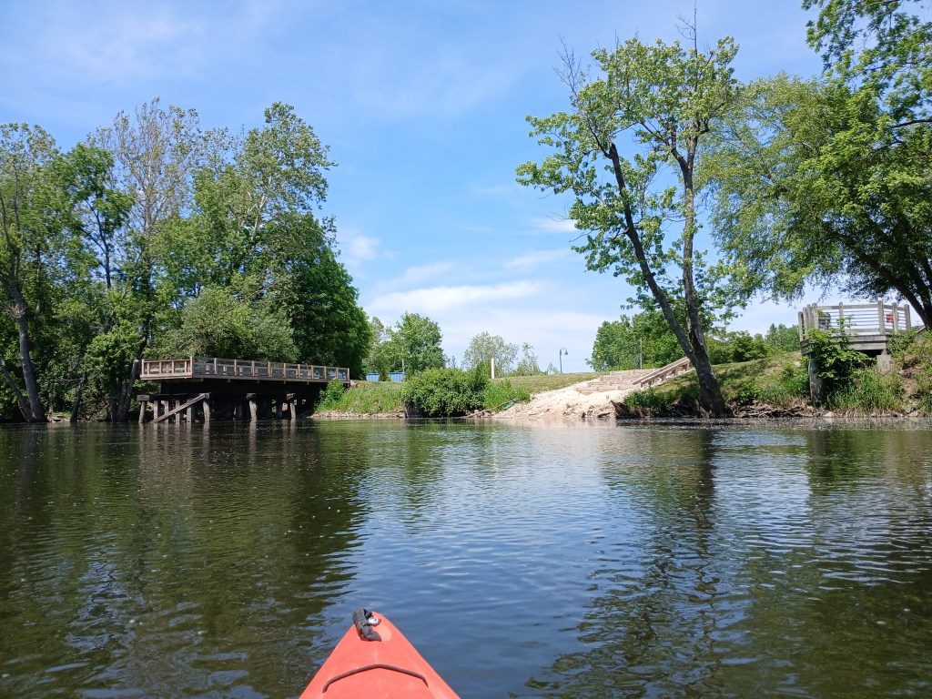
I didn’t like the boat landing. The steps were too far away from the water’s edge. The uneven surface below the steps made it difficult to pull a kayak up to the boat slide. I found it almost impossible to use the boat slide by myself. In retrospect, I should’ve used the old landing, which is about fifty feet upstream. It wasn’t a very good way to end a great trip. Overall, it was a beautiful afternoon on the river!
Update: After my trip, I contacted the City of Parchment. Improvements to the landing are in the planning stages.

 KAYAKING SOUTHWEST MICHIGAN