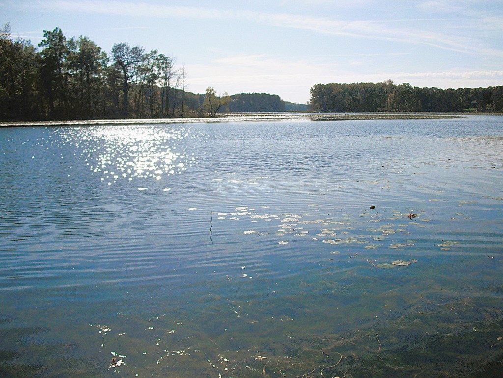
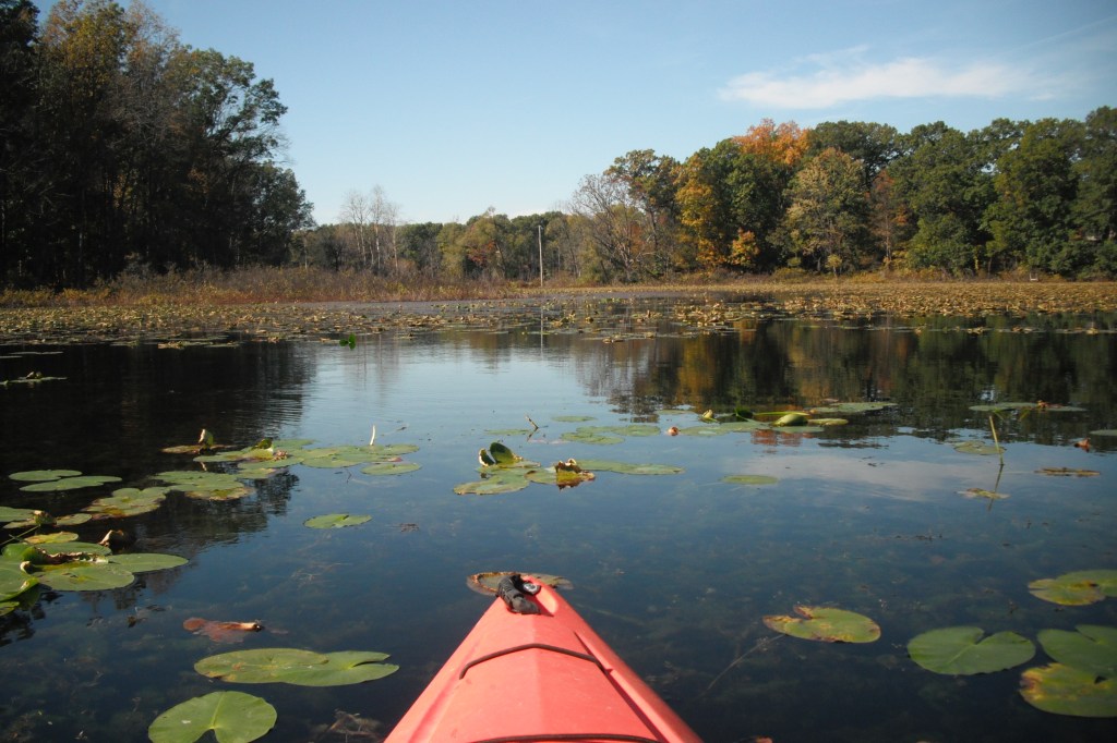
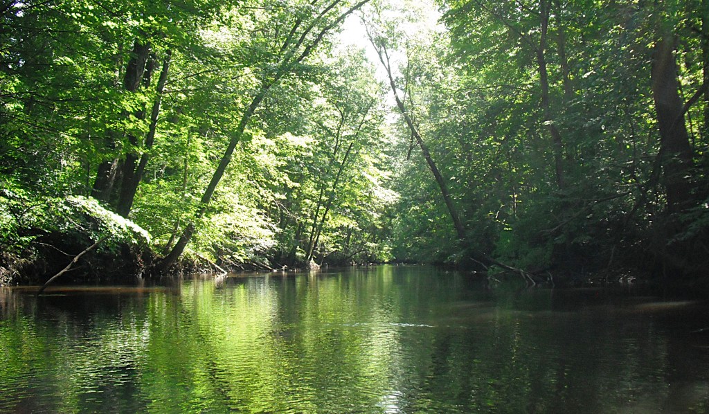
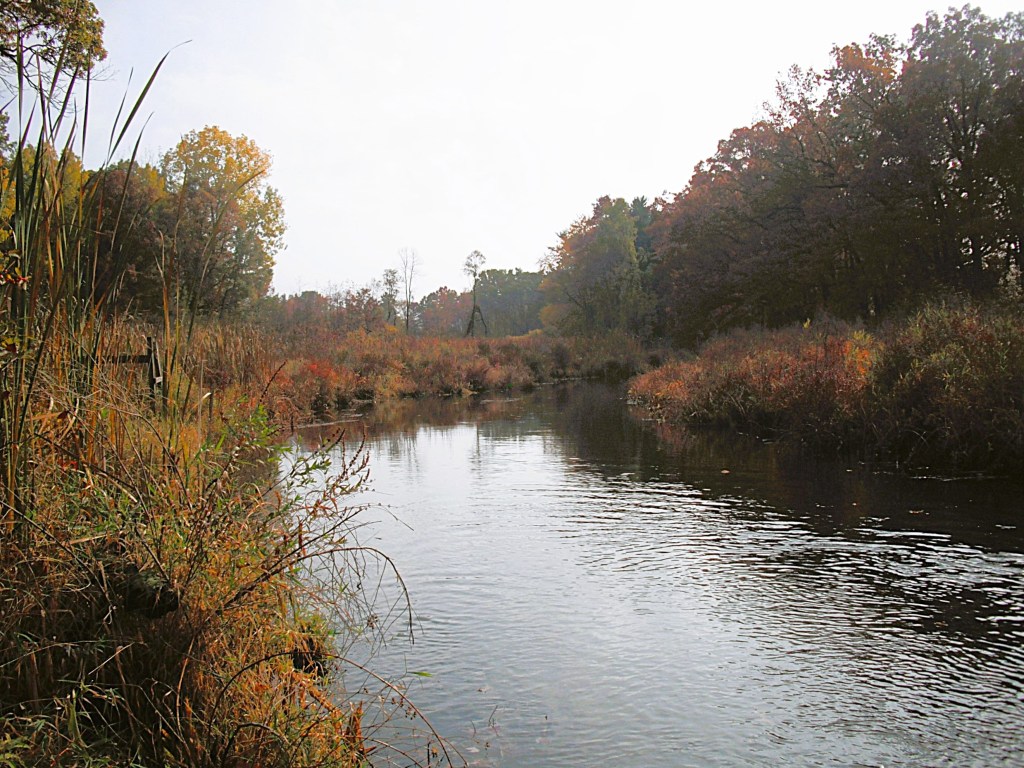
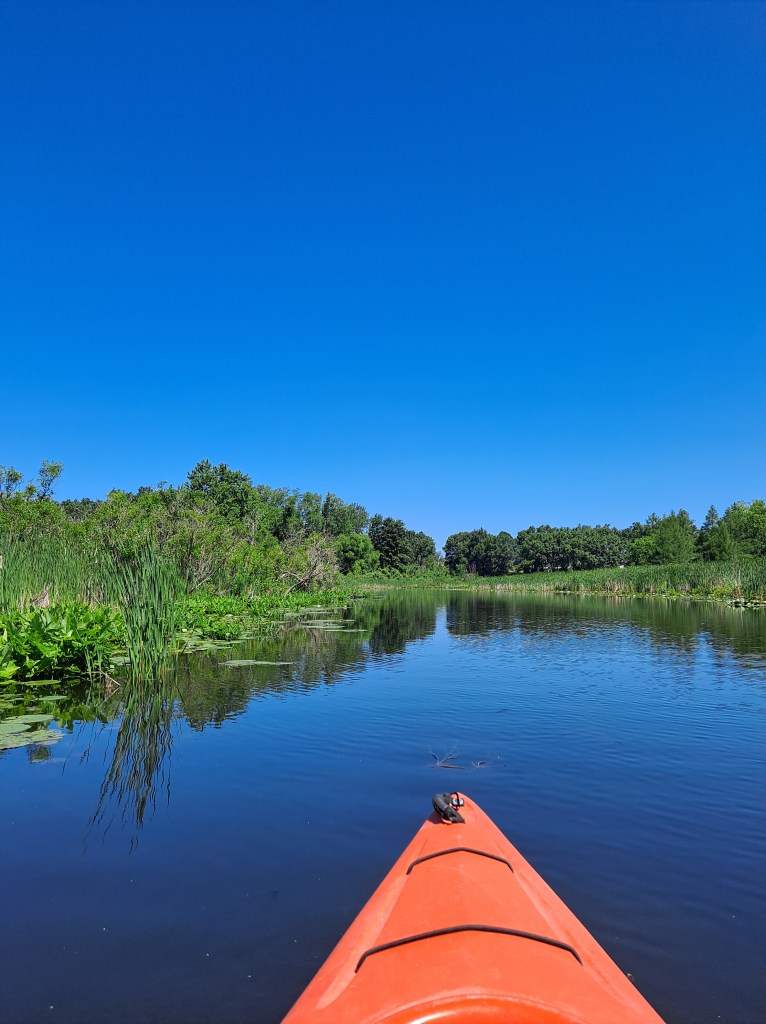
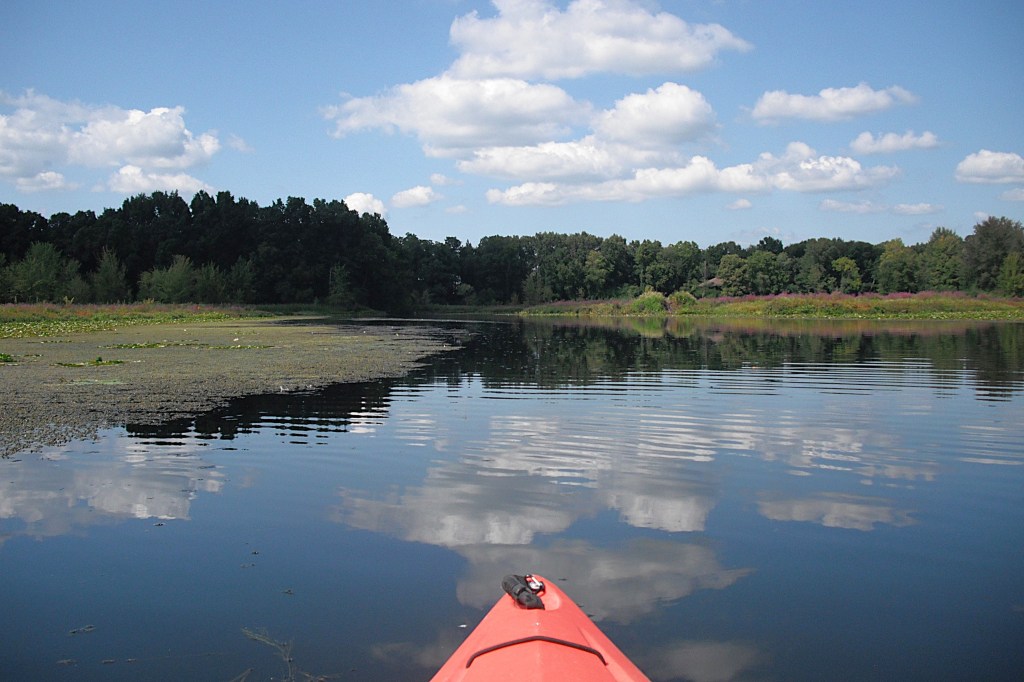
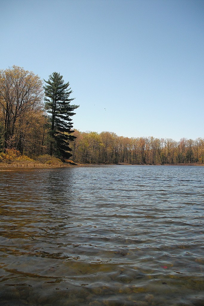
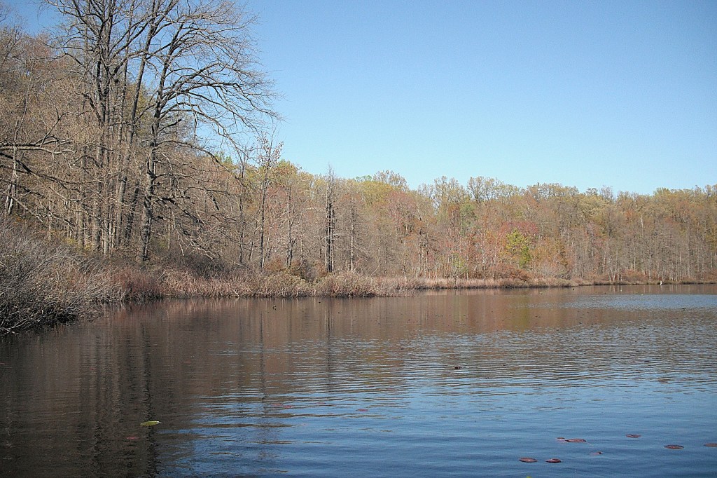
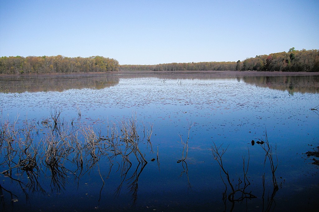
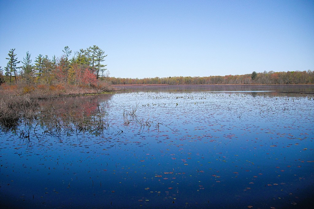
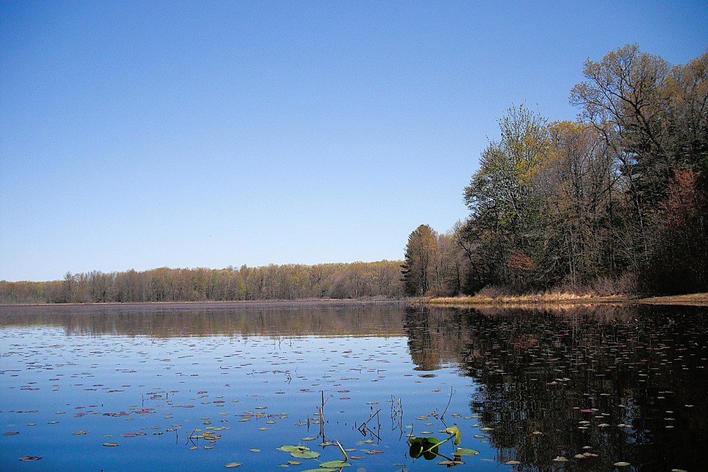
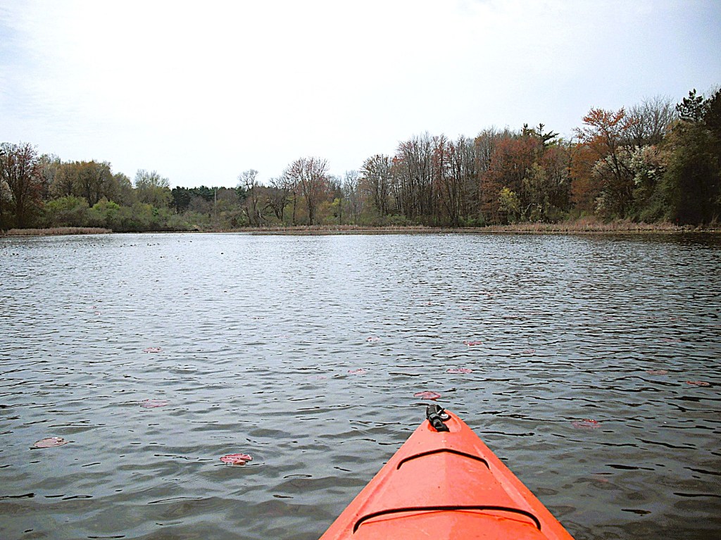
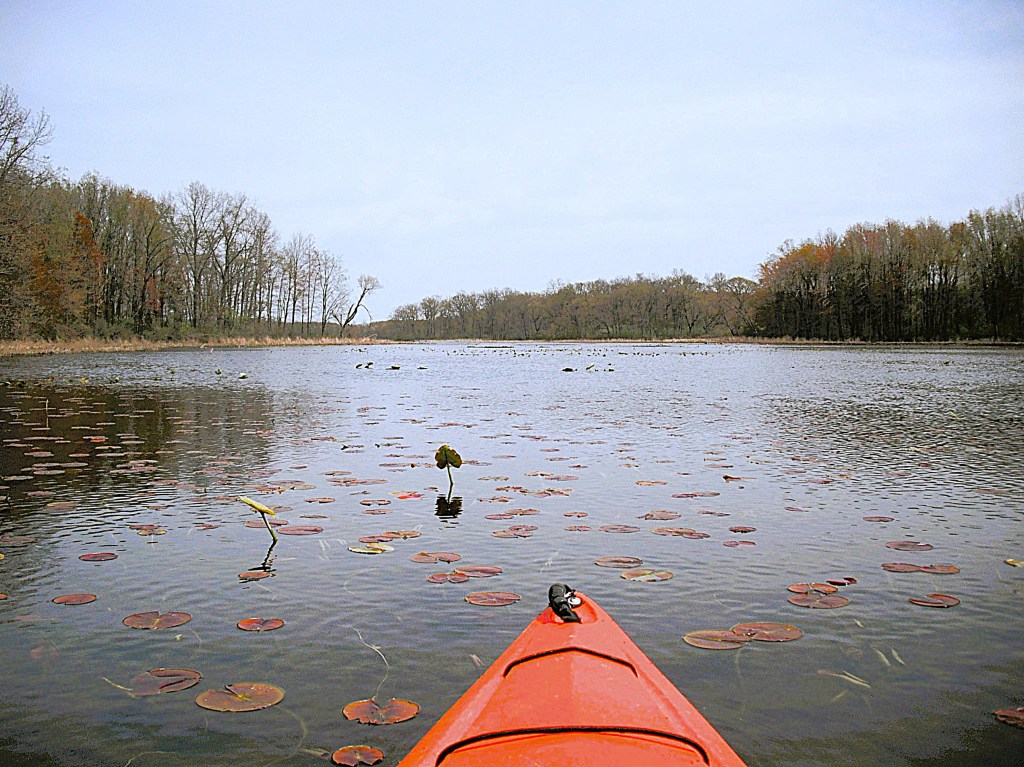
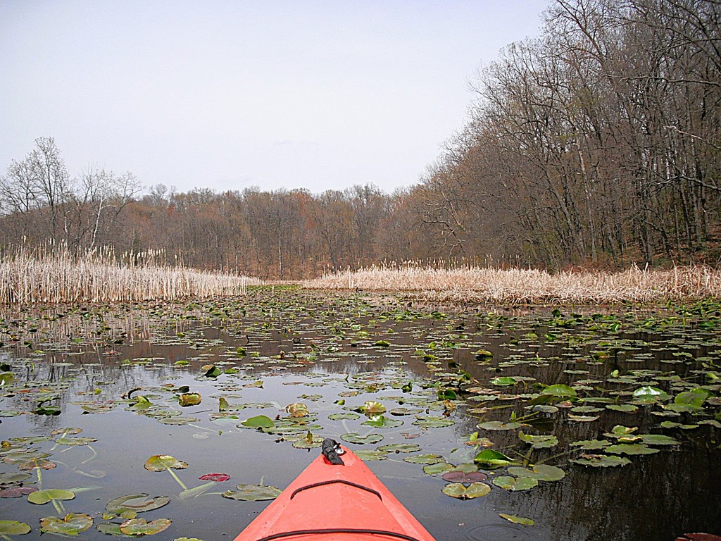
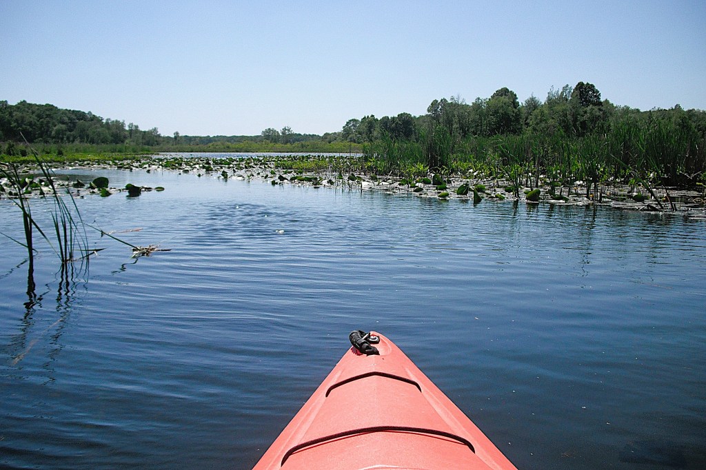
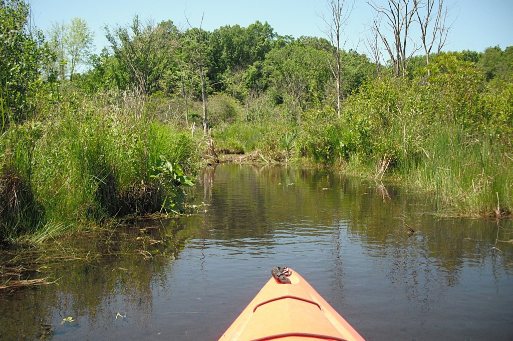
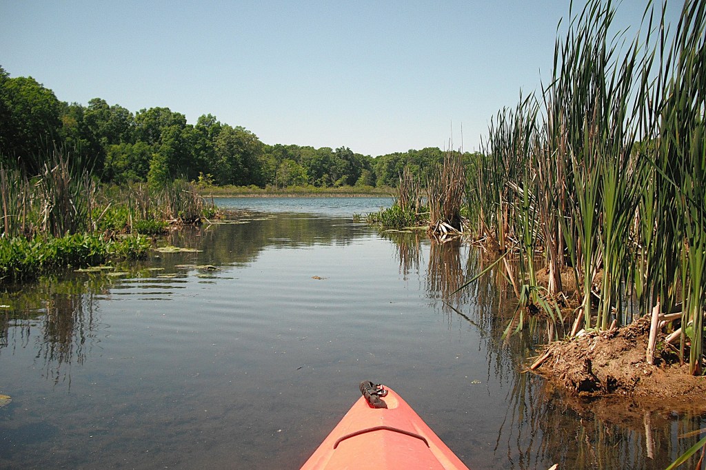
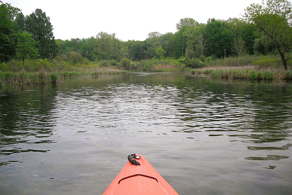
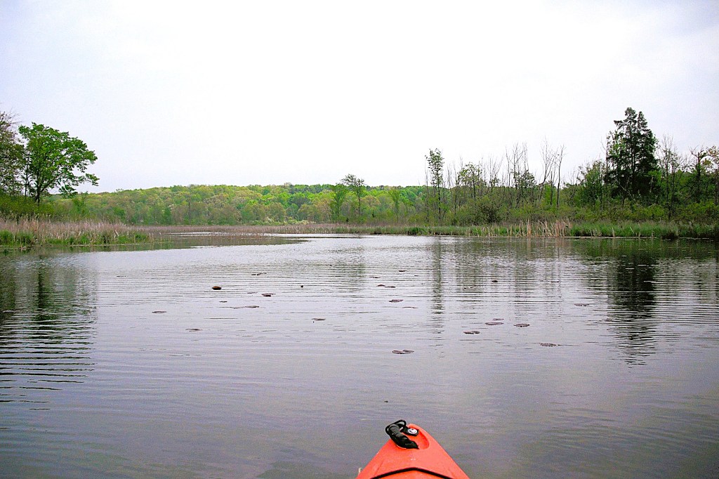
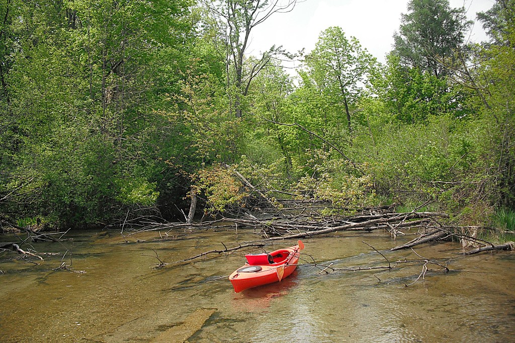
I always thought that Upper Crooked was a fully developed lake, lined with homes and cottages from shore to shore. I found out differently while surfing satellite photos on Google Maps, looking for new waterways to explore. Large portions of Upper Crooked are undeveloped or sparsely developed. My kind of lake! I immediately planned a voyage. A seventy degree weekday in late October filled the bill.
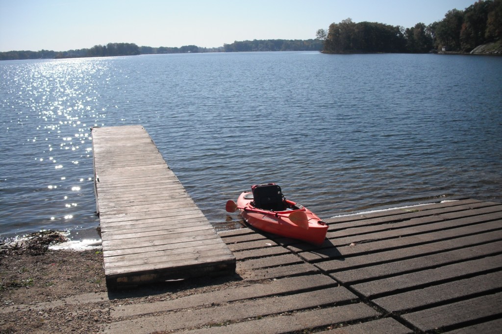
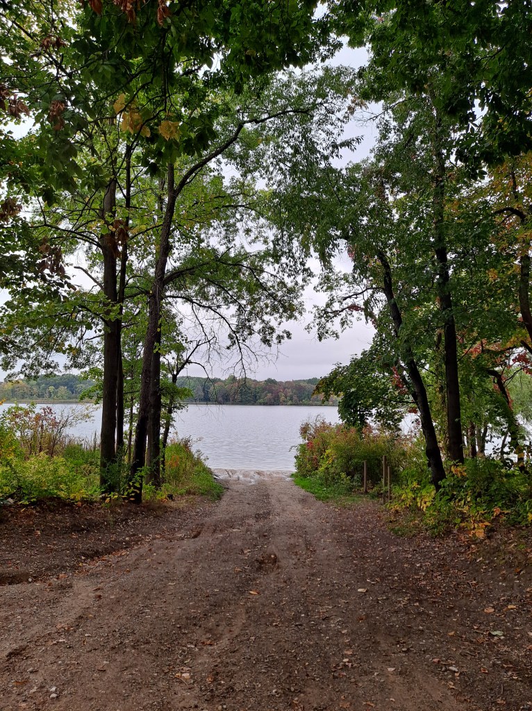
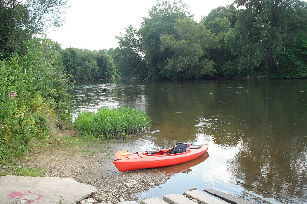
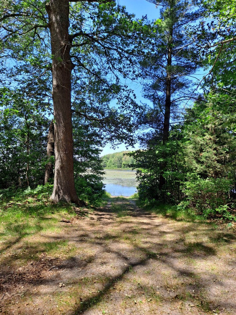
The public access is on Delton Road, one and one eighth miles west of highway M43 and west of the village of Delton. The boat landing is a Prairieville Township park. There is a gate at the entrance that opens with a seven dollar payment, cash or card. Fees subject to change.
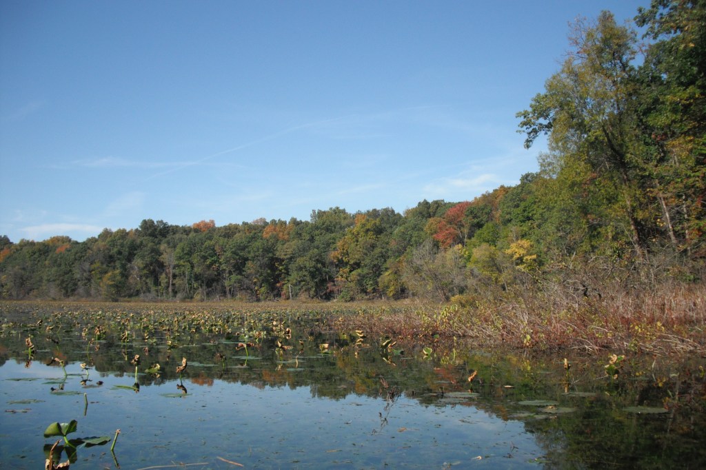
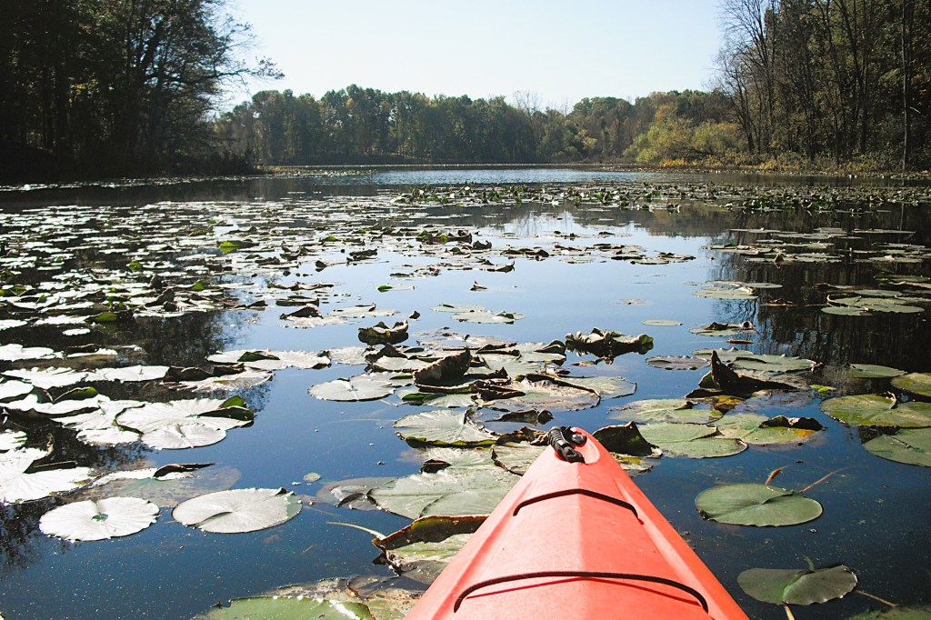
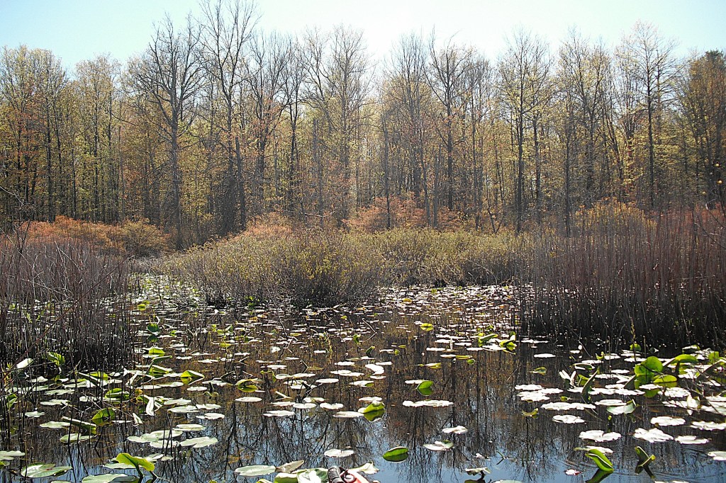
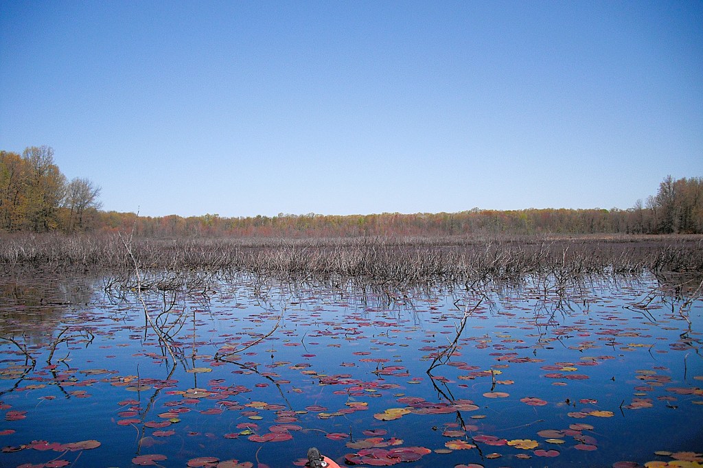
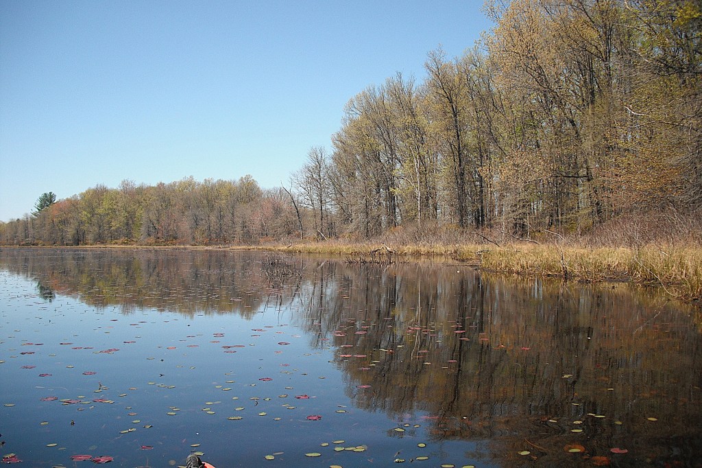
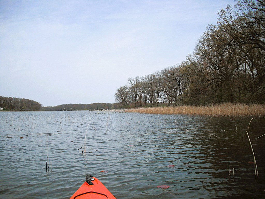
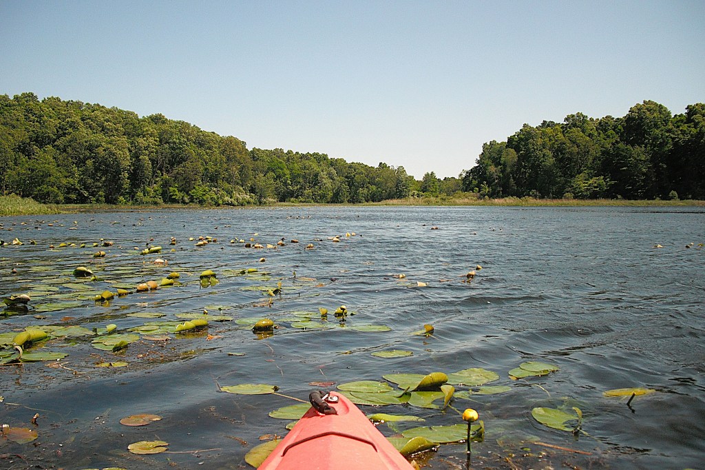
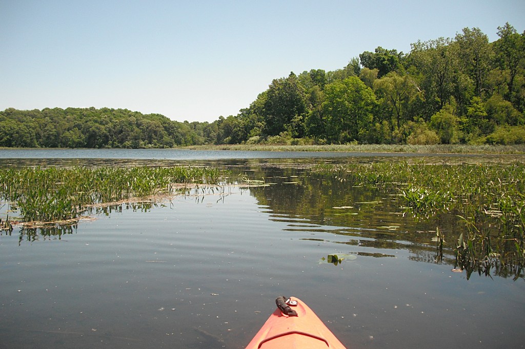
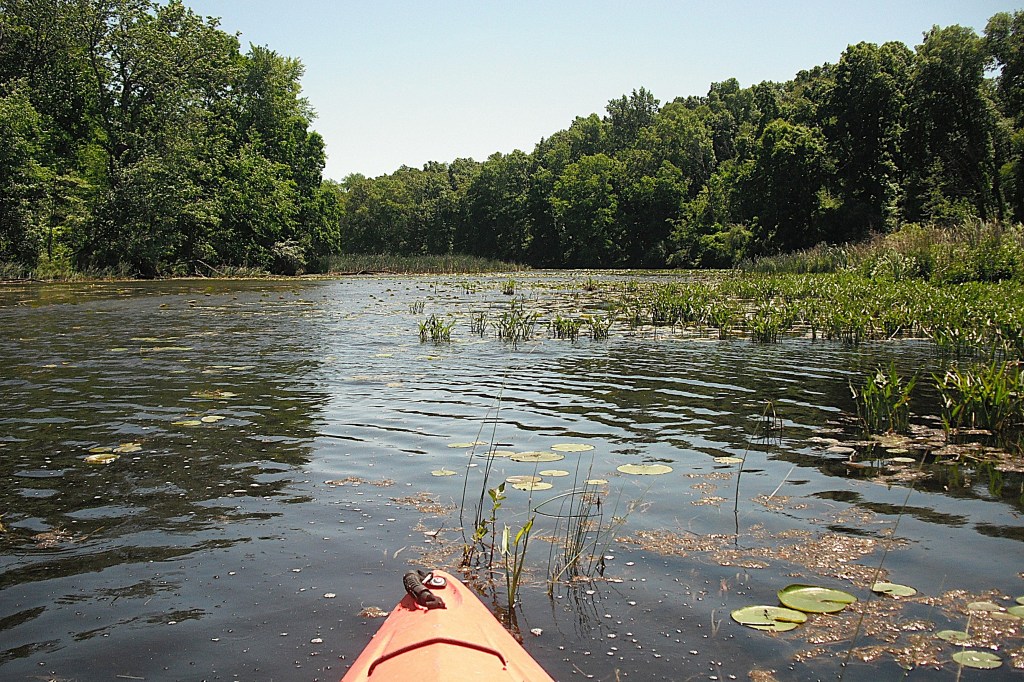
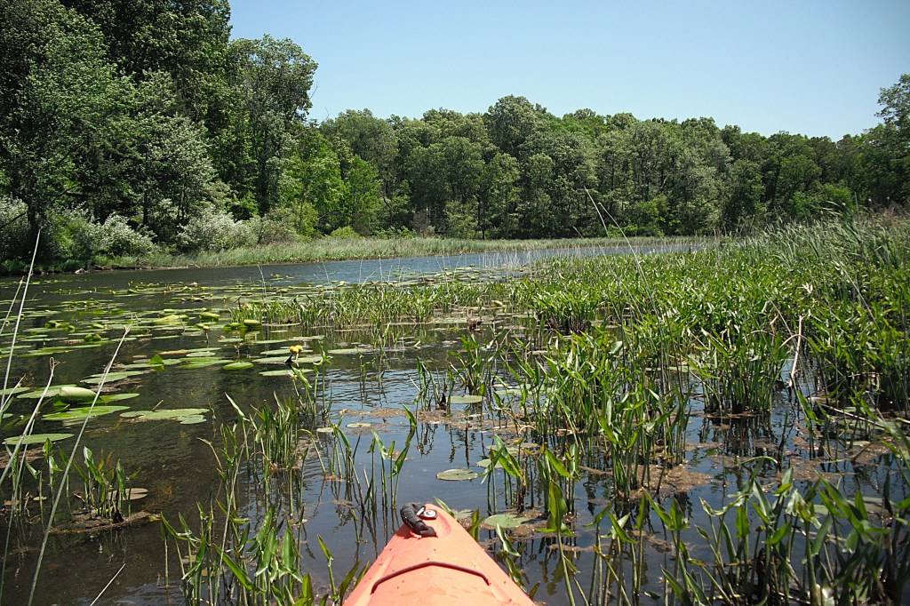
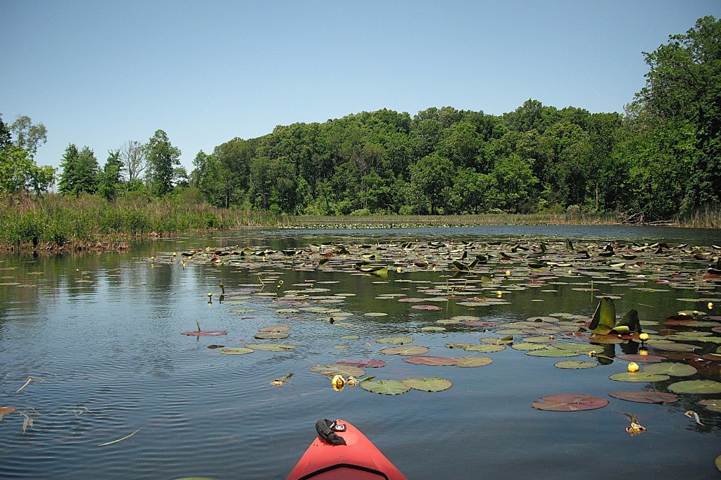
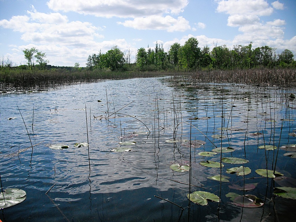
The parts of the lake that I explored were mostly shallow in nature and portions of these waters were covered with lily pads and other aquatic plants. Since my trip took place in the fall, the vegetation was in the process of seasonal die-off. Even though the waters looked choked with weeds, I easily paddled anywhere I wanted to go. In the summer, some of the areas that I explored would be difficult to traverse.
There was no boat traffic during the day of my trip. The lake can get busy during summer, especially on the weekends.
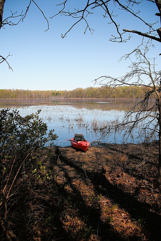
If you prefer kayaking the developed shorelines of Upper Crooked, you can tell where to go by simply viewing the lake. I will focus on the undeveloped areas, which are a little less obvious to find. Only a small portion of the lake is visible from the boat landing.
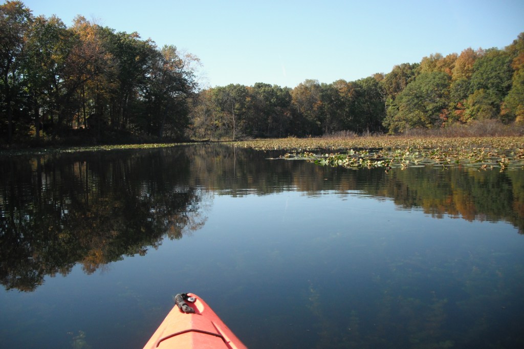
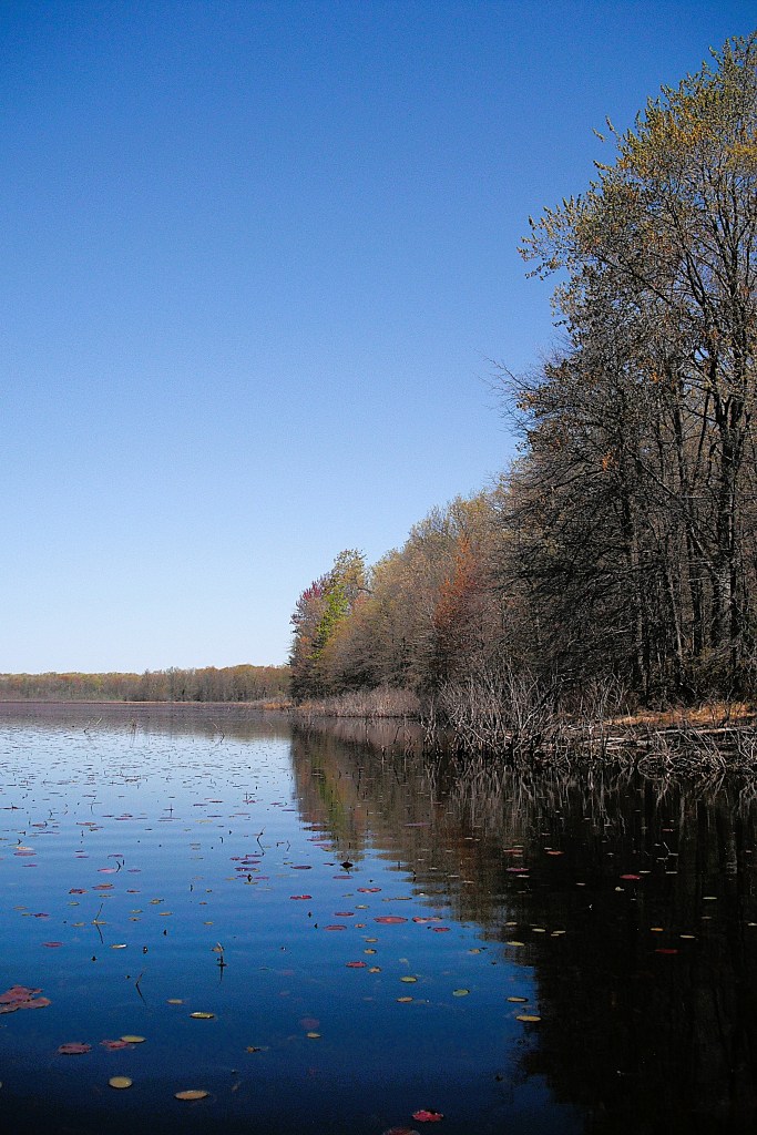
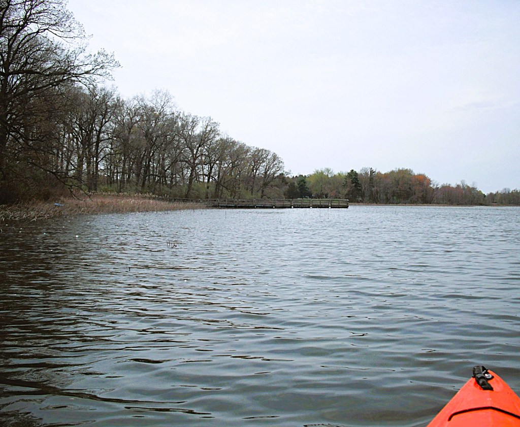
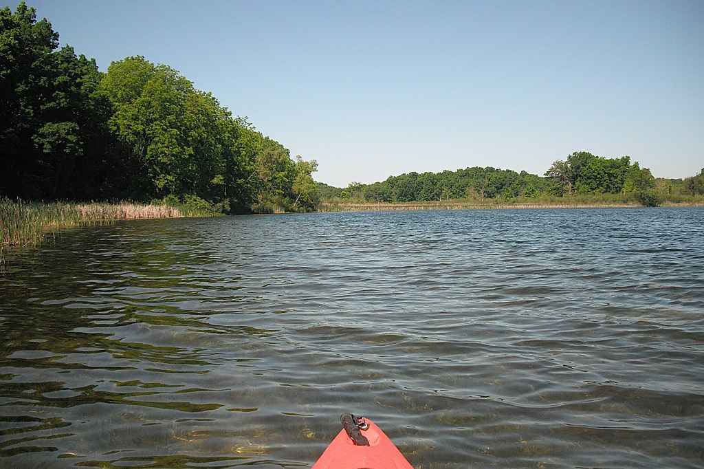
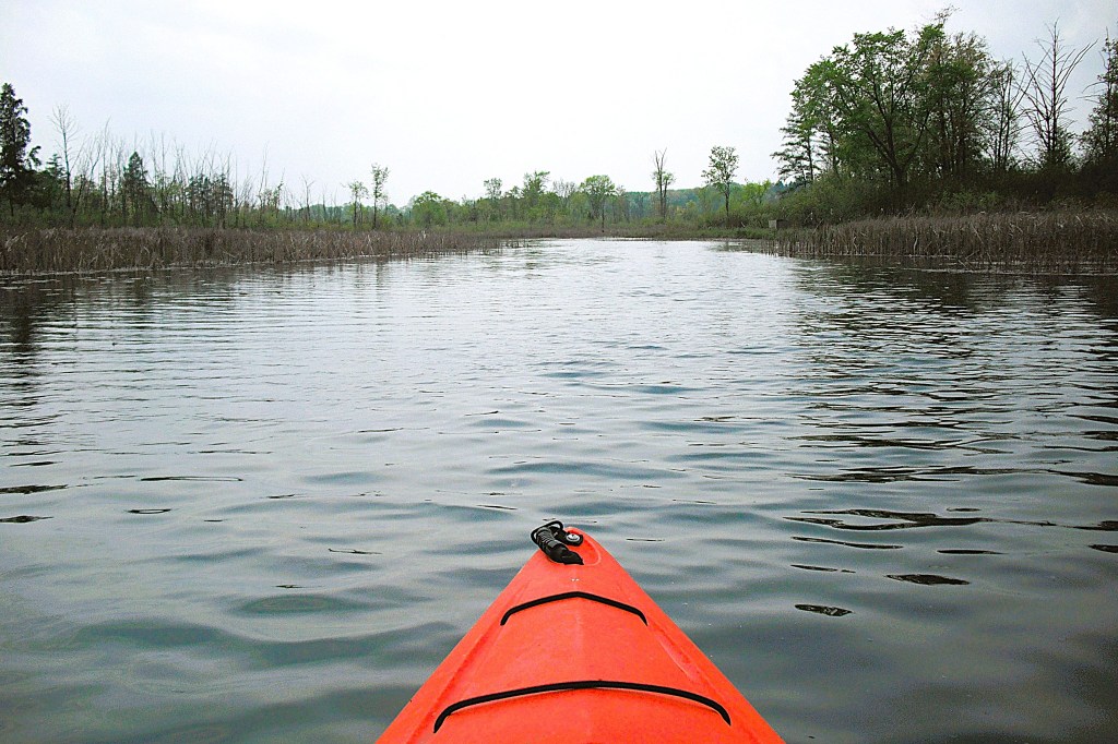
After shoving off from the launch site, head south along the west shore. After passing a small peninsula, the coastline gradually curves west.
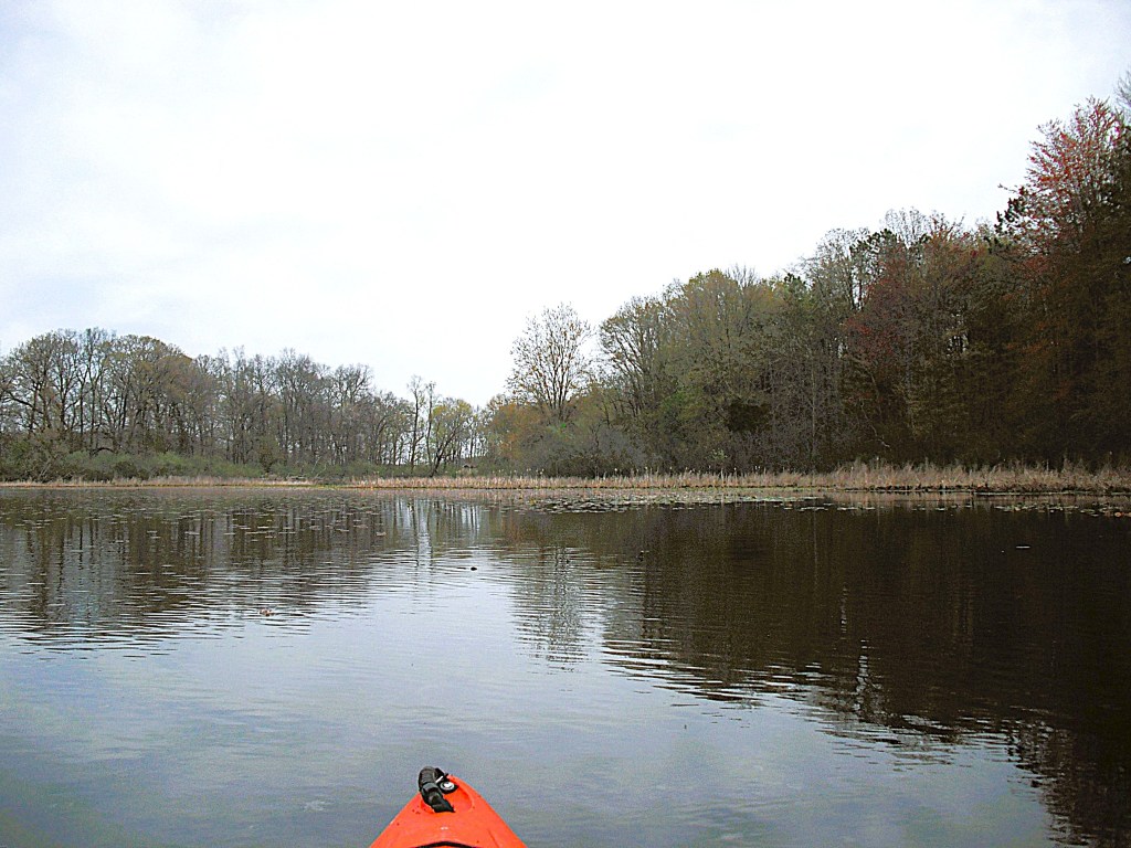
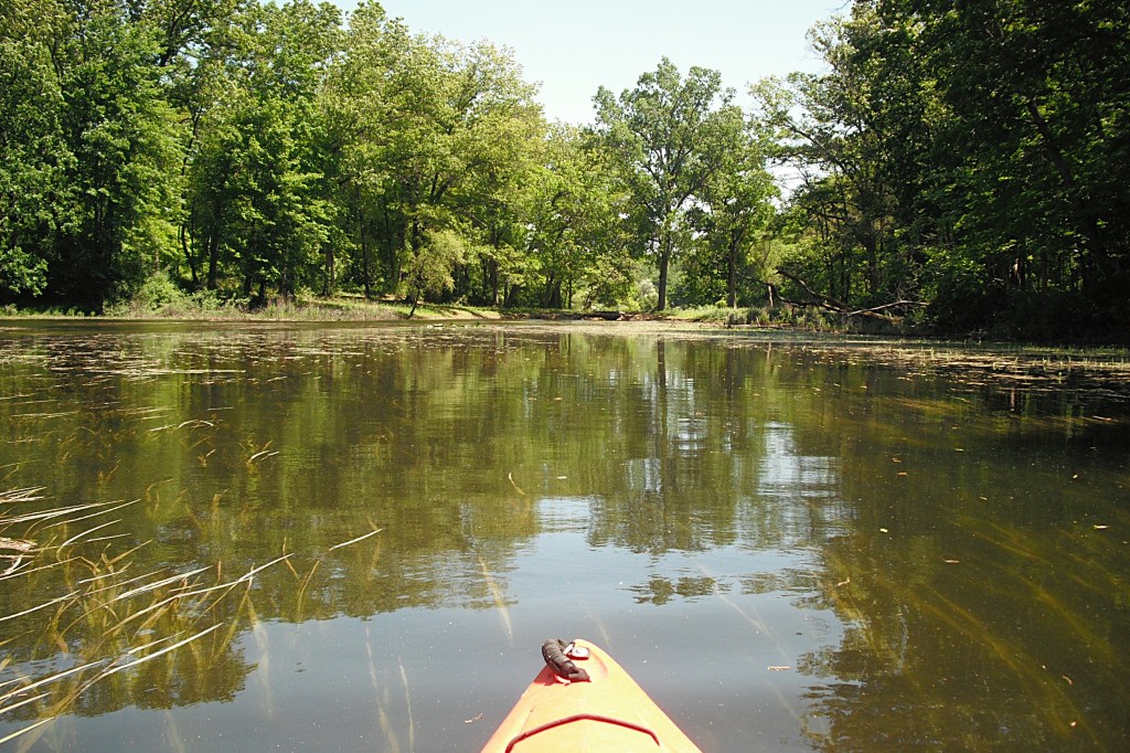
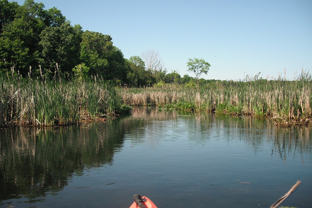
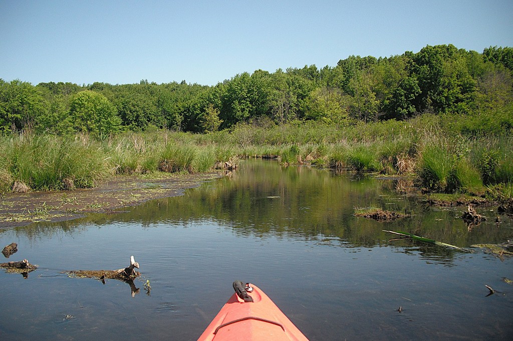
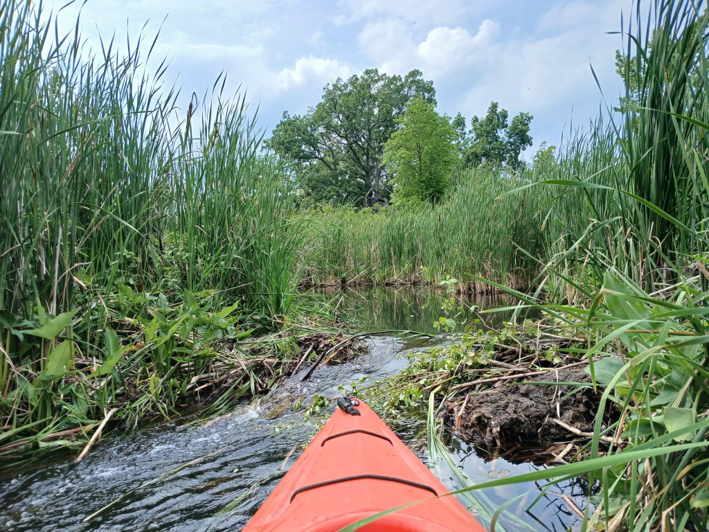
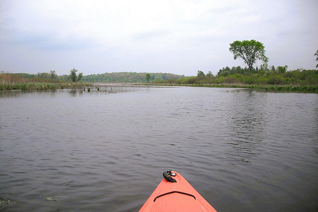
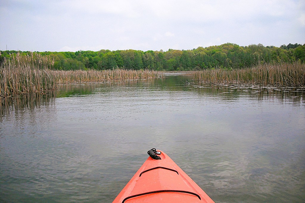
Continue following the lake shore as it curves north toward a channel.
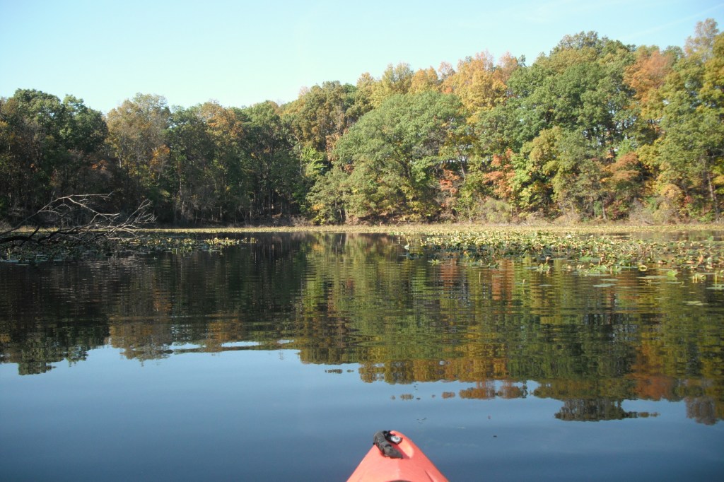
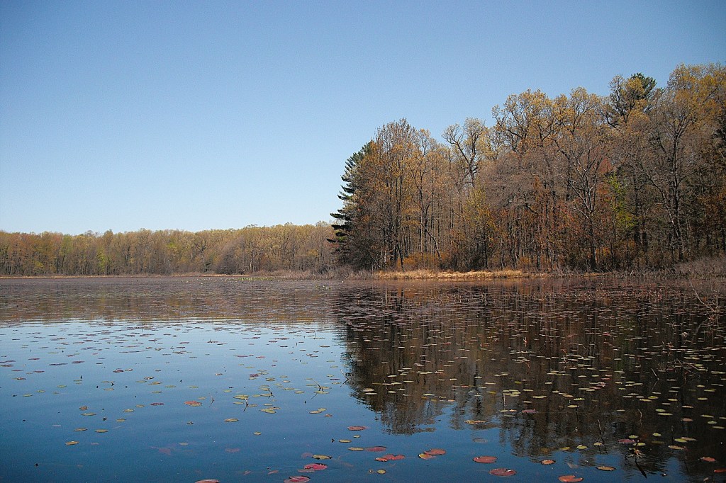
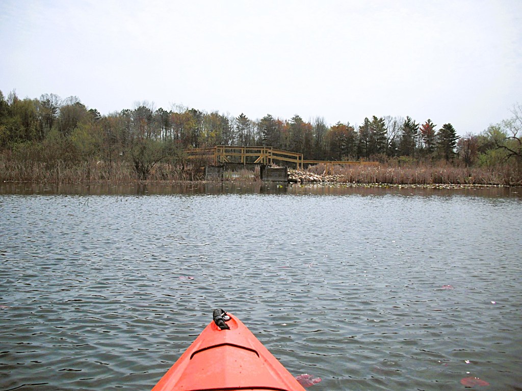
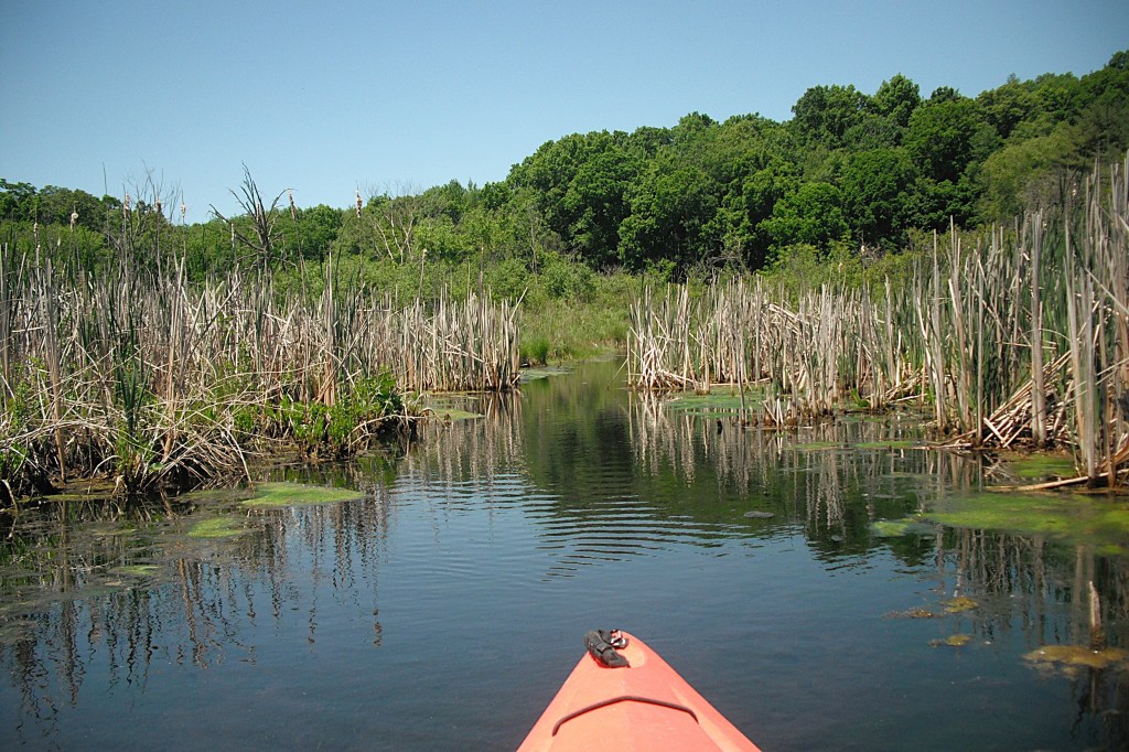
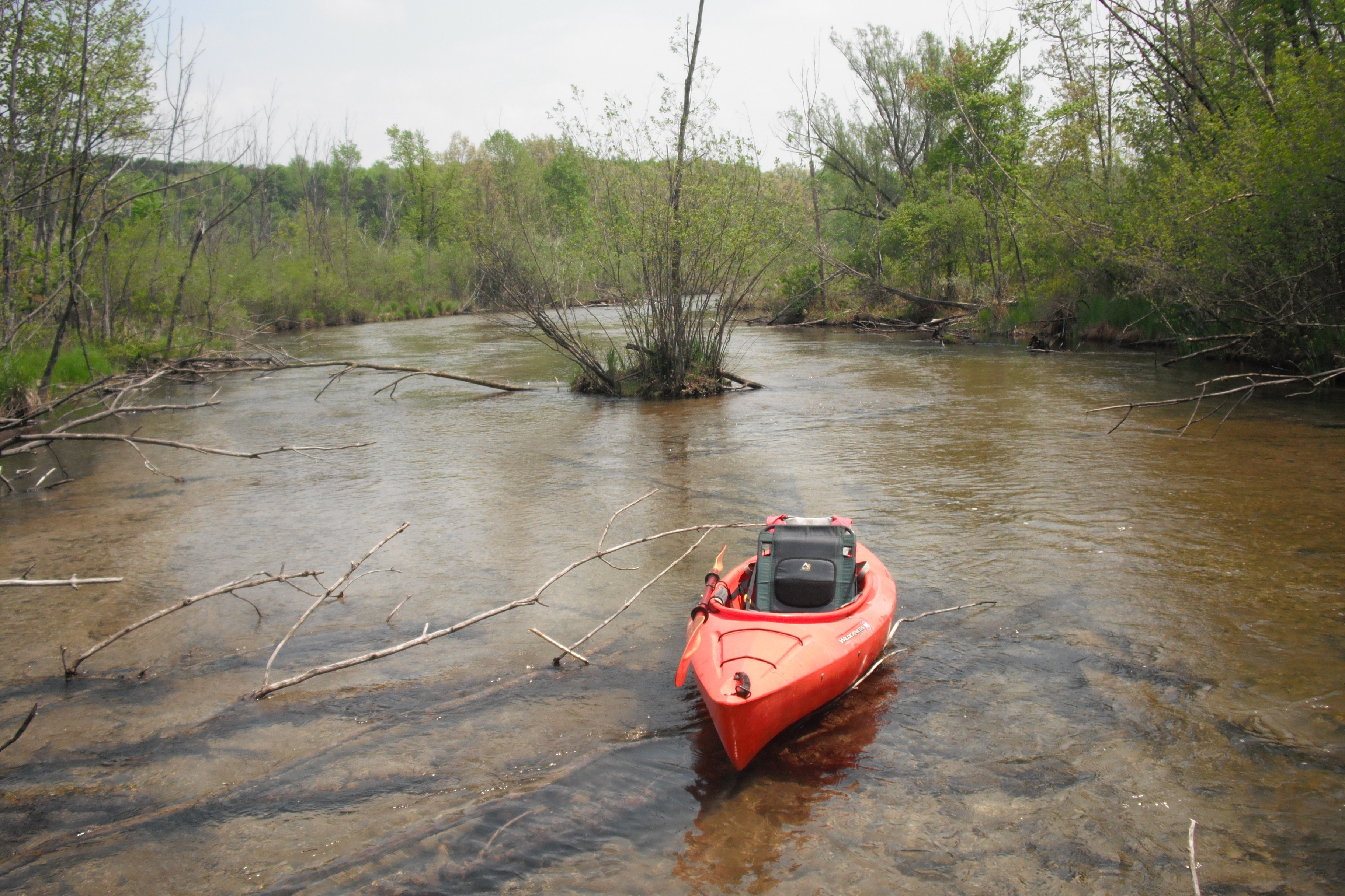
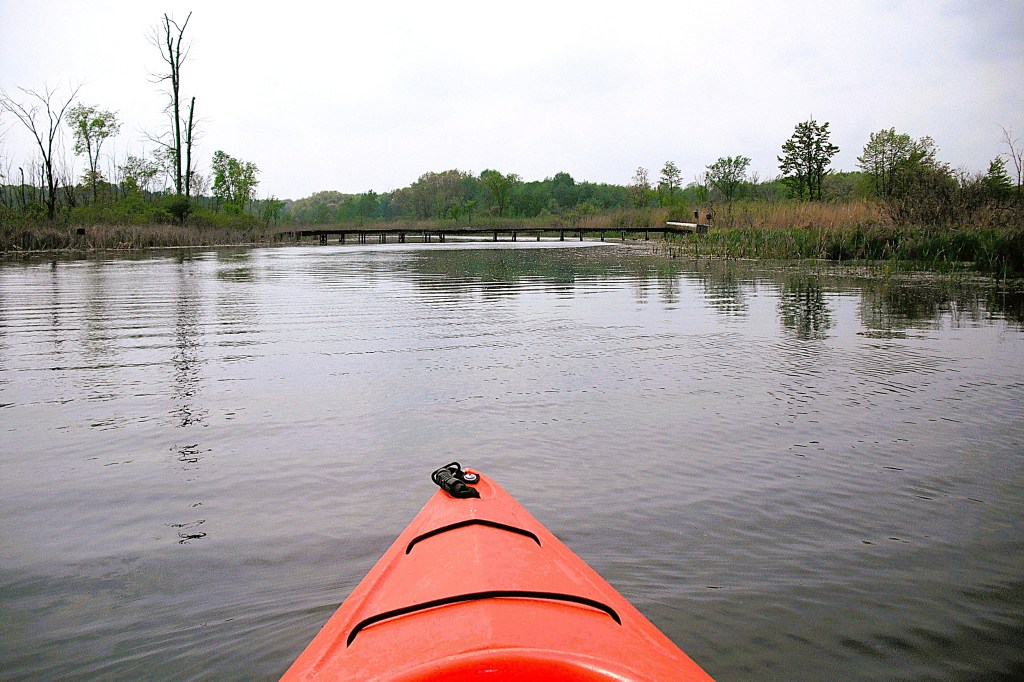
The channel leads to a large cove.
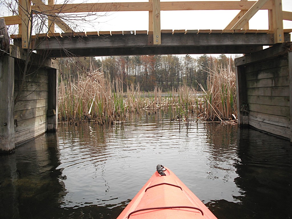
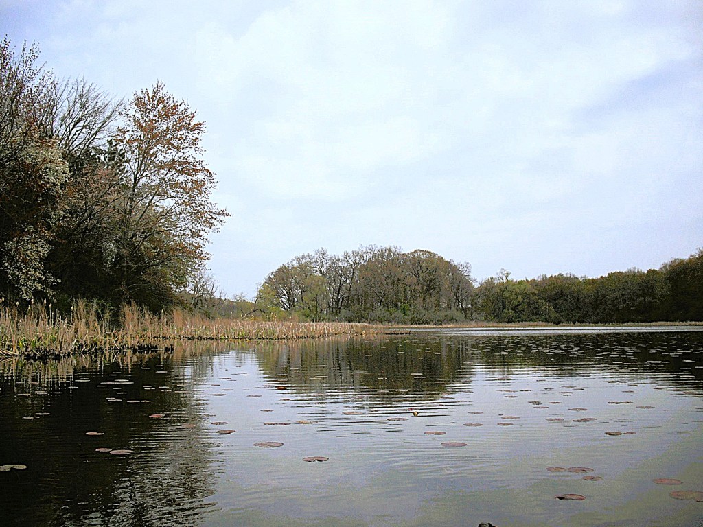
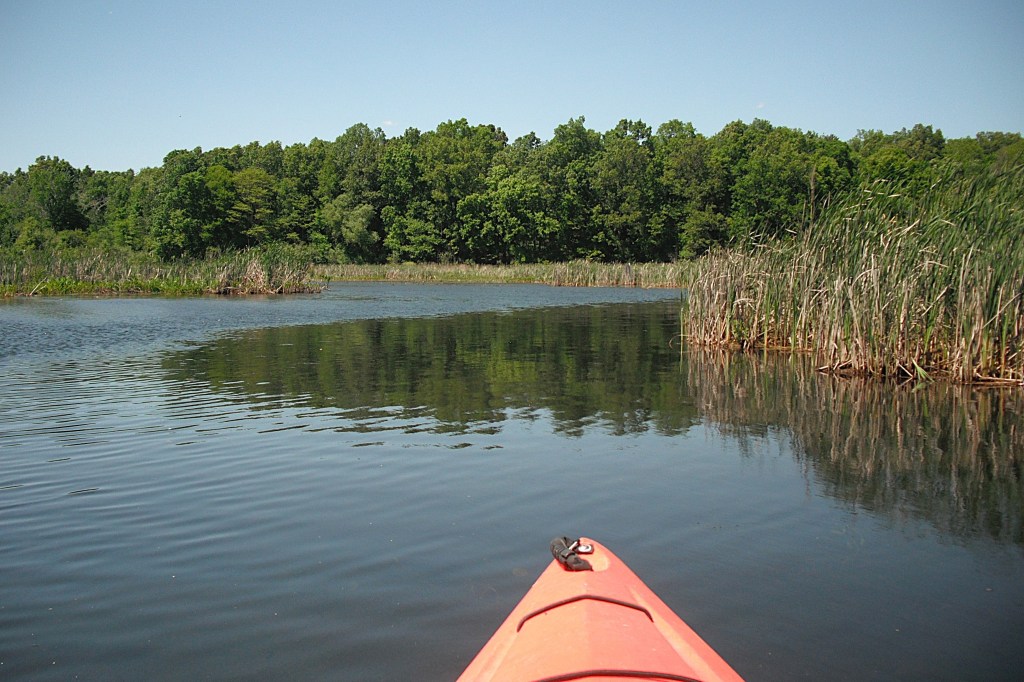
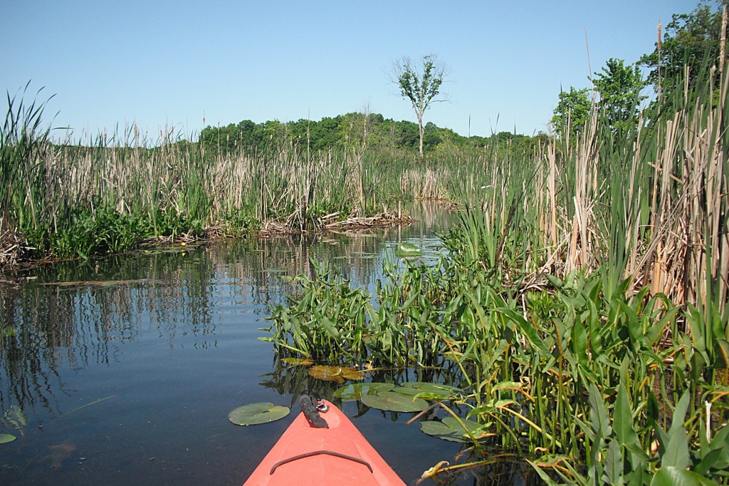
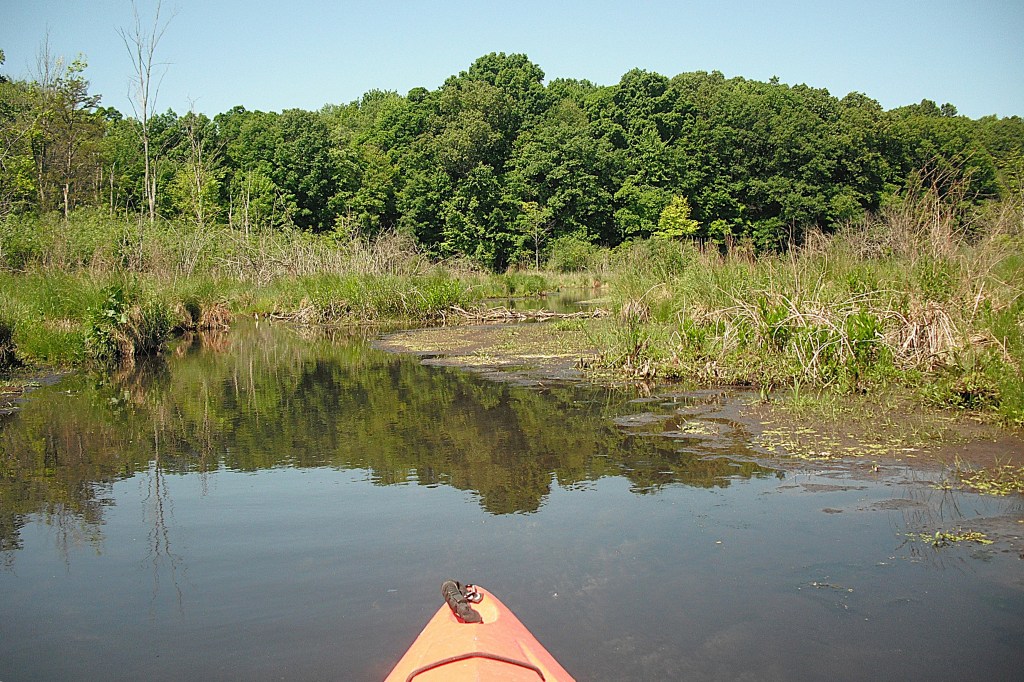
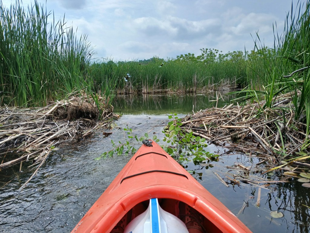
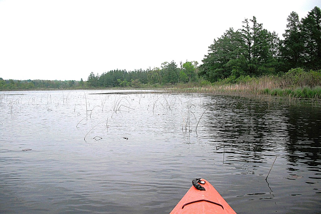
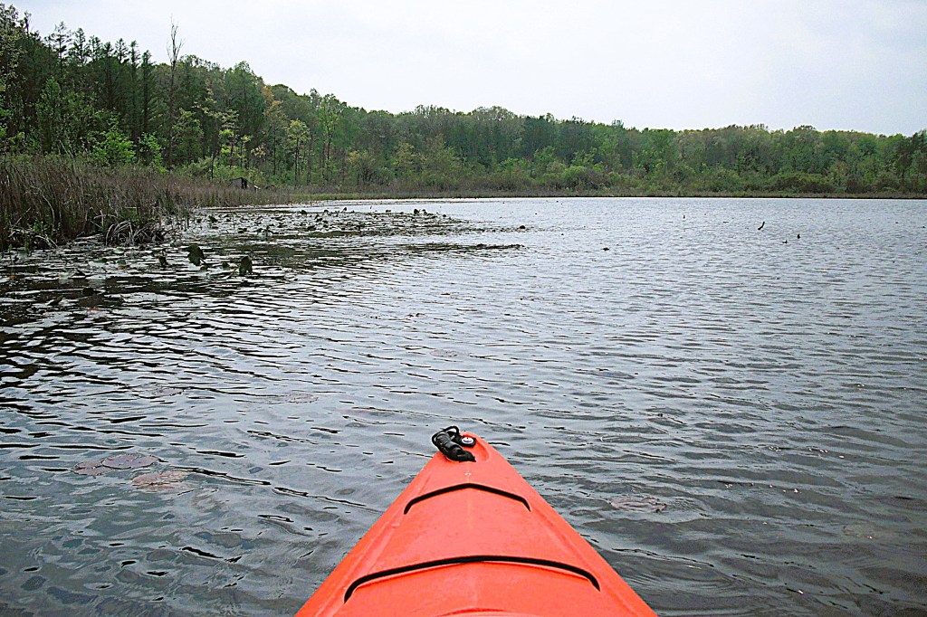
At the west end of the cove, a channel leads to another cove.
At the west end of this second cove, a Parker Road causeway separates Upper Crooked from a unnamed lake.
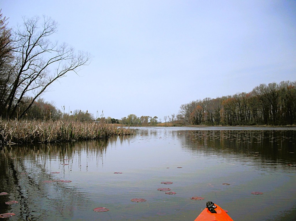
After exploring the two coves, there’s still more to see. Retrace your course back to the first channel.
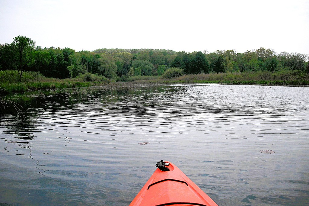
After leaving the channel, go south along the west shore.
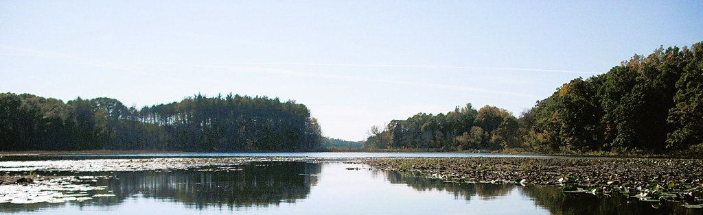
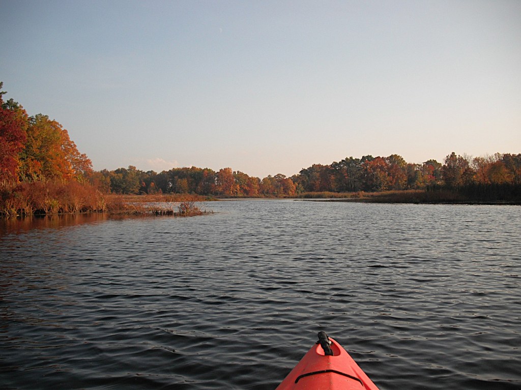
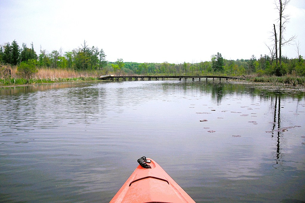
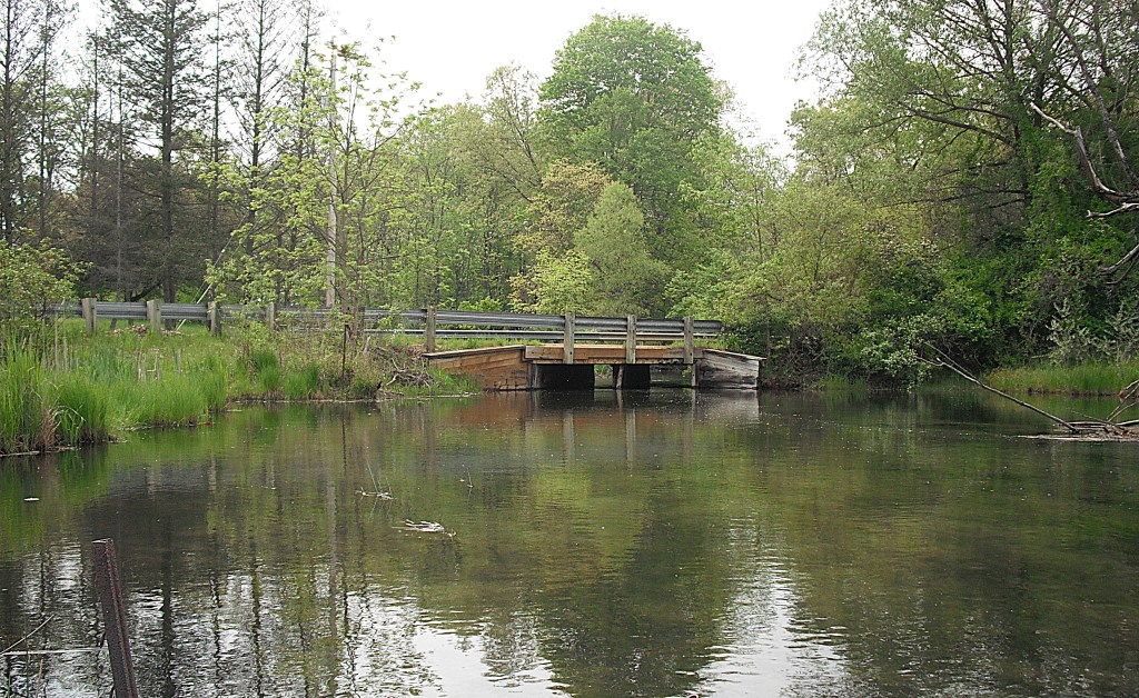
At the far south end of this part of the lake, you will come to another Parker Road causeway that separates Upper Crooked Lake from Lower Crooked Lake.
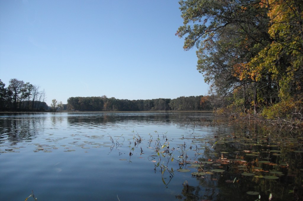
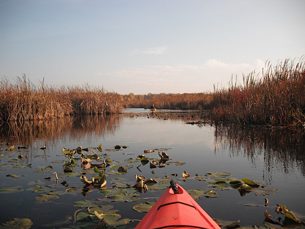
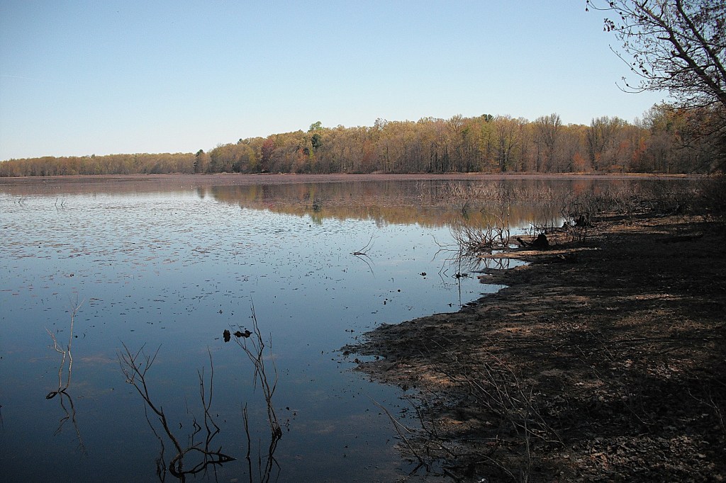
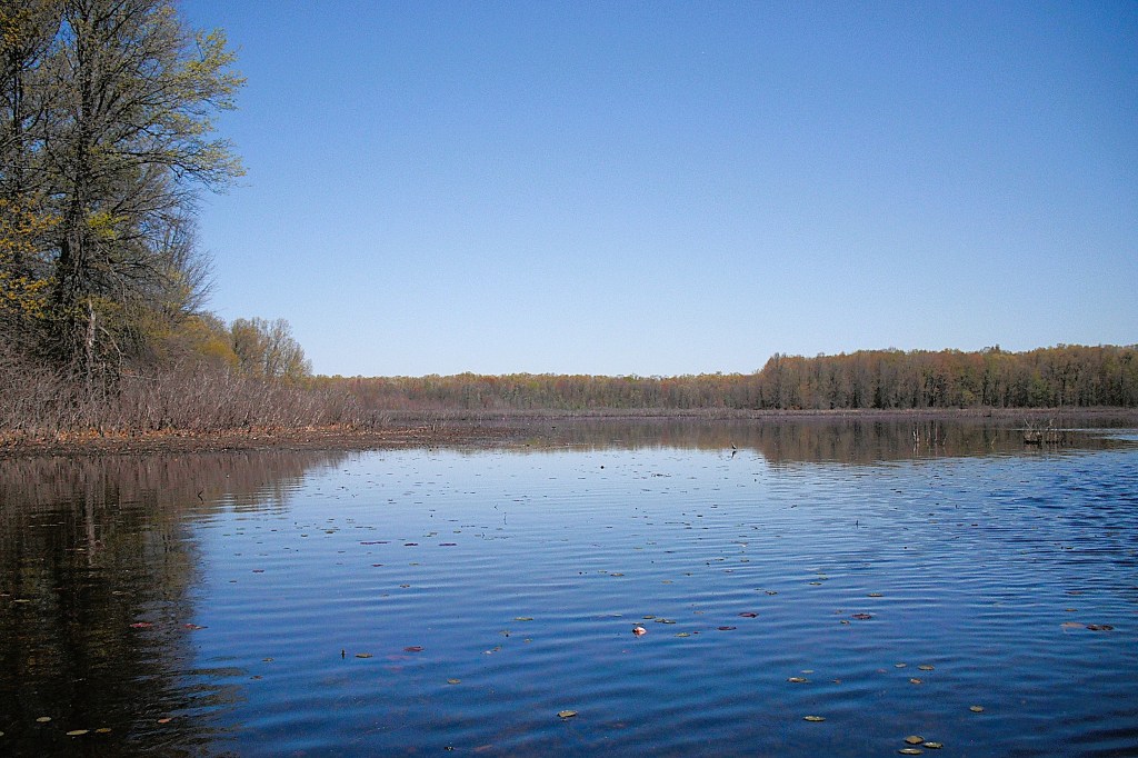
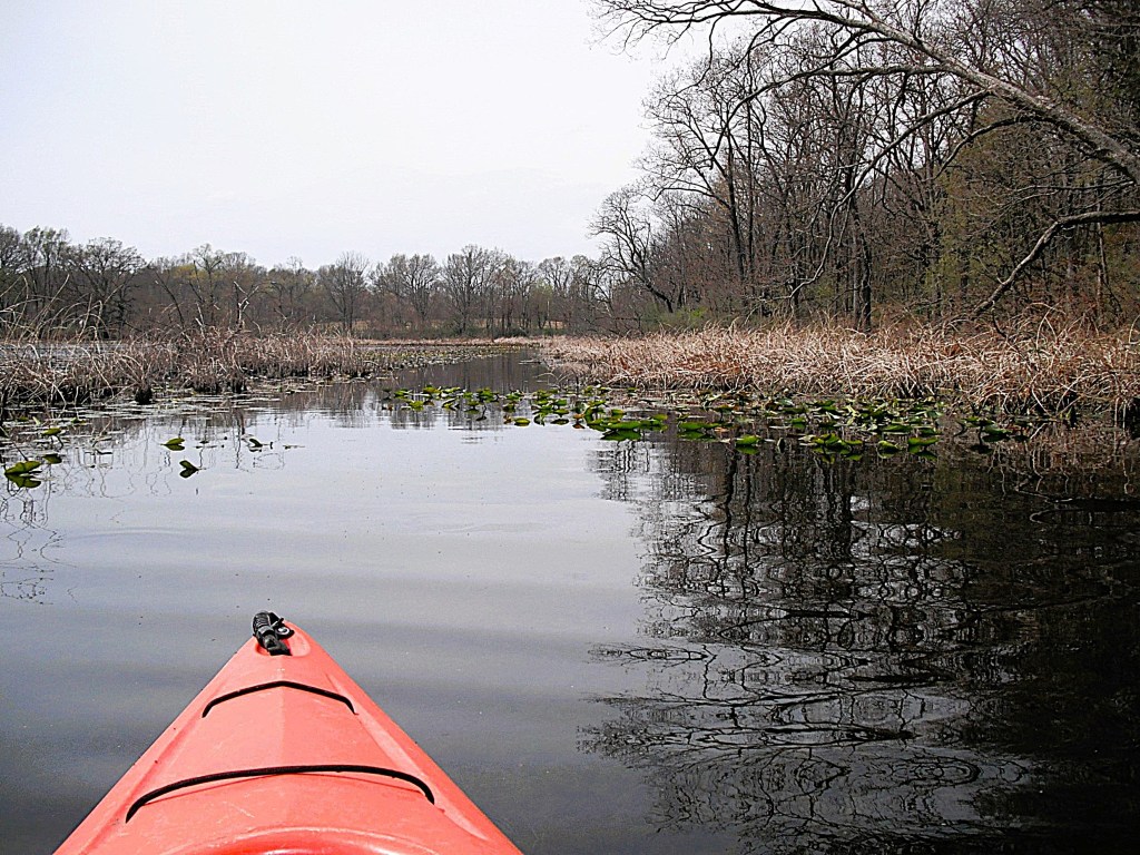
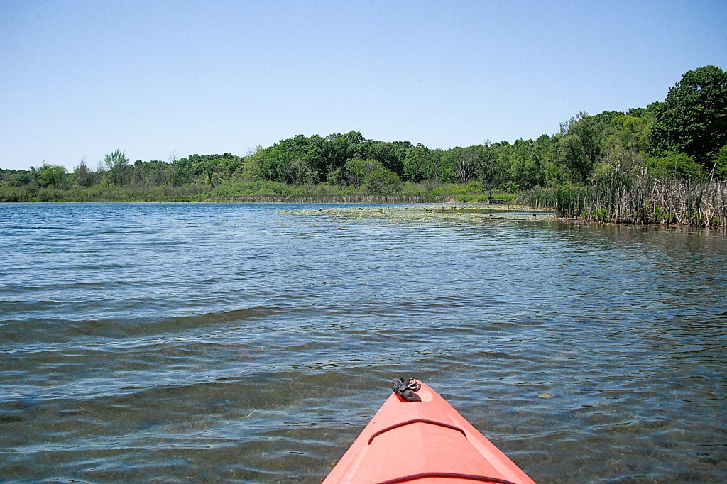
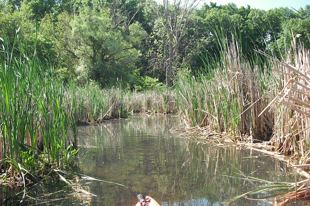
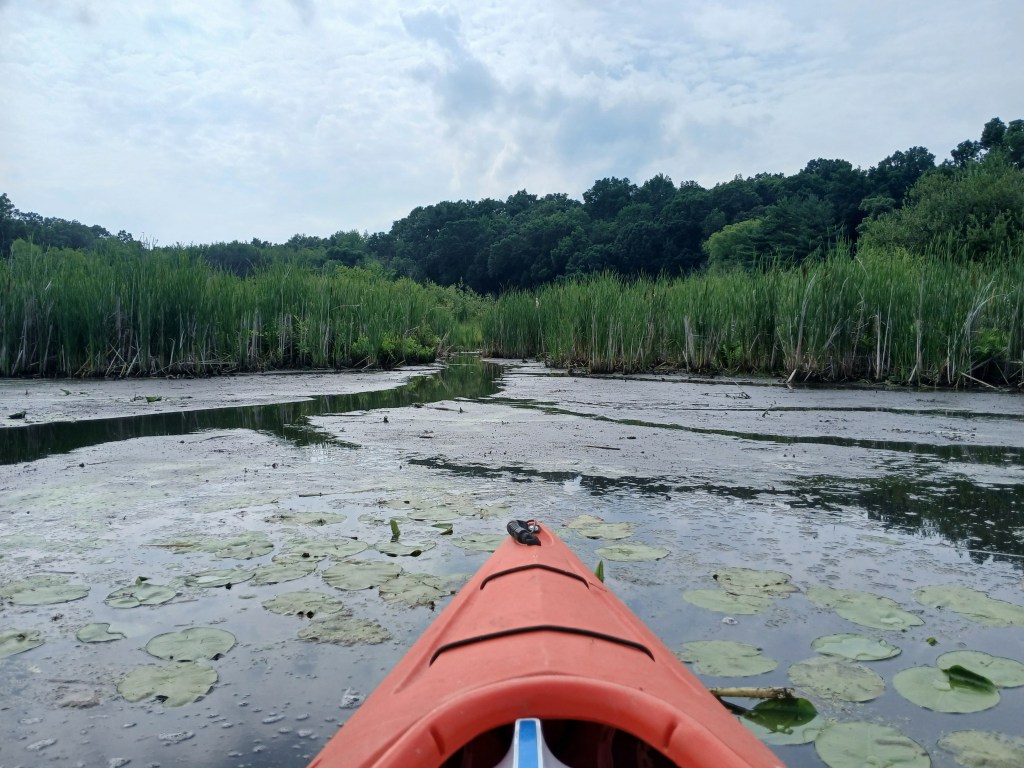
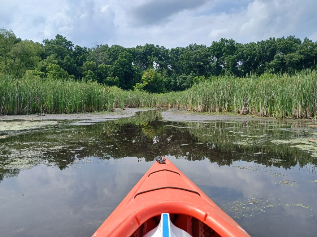
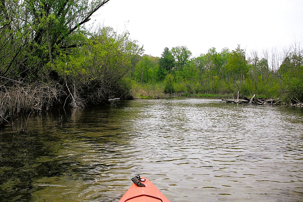
After touring this part of the lake, I decided to meander toward the boat landing. On my way back, I followed the east shore south from the landing to a narrow channel that opens up into a cove.
It was choked with lily pads, so I decided to end my voyage. As you may have guessed, that’s a lot of paddling! I didn’t know what to expect when I decided to explore Upper Crooked Lake. I was quite pleased with the outcome. The undeveloped areas of the lake were very scenic. Be sure to put this lake on your “to do” list!
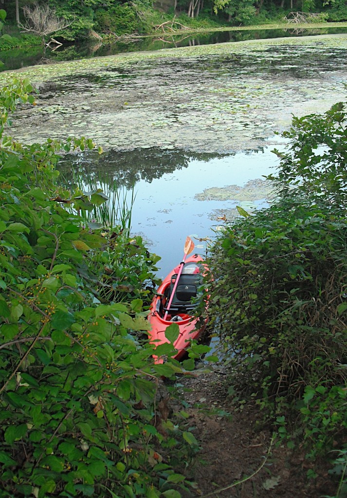
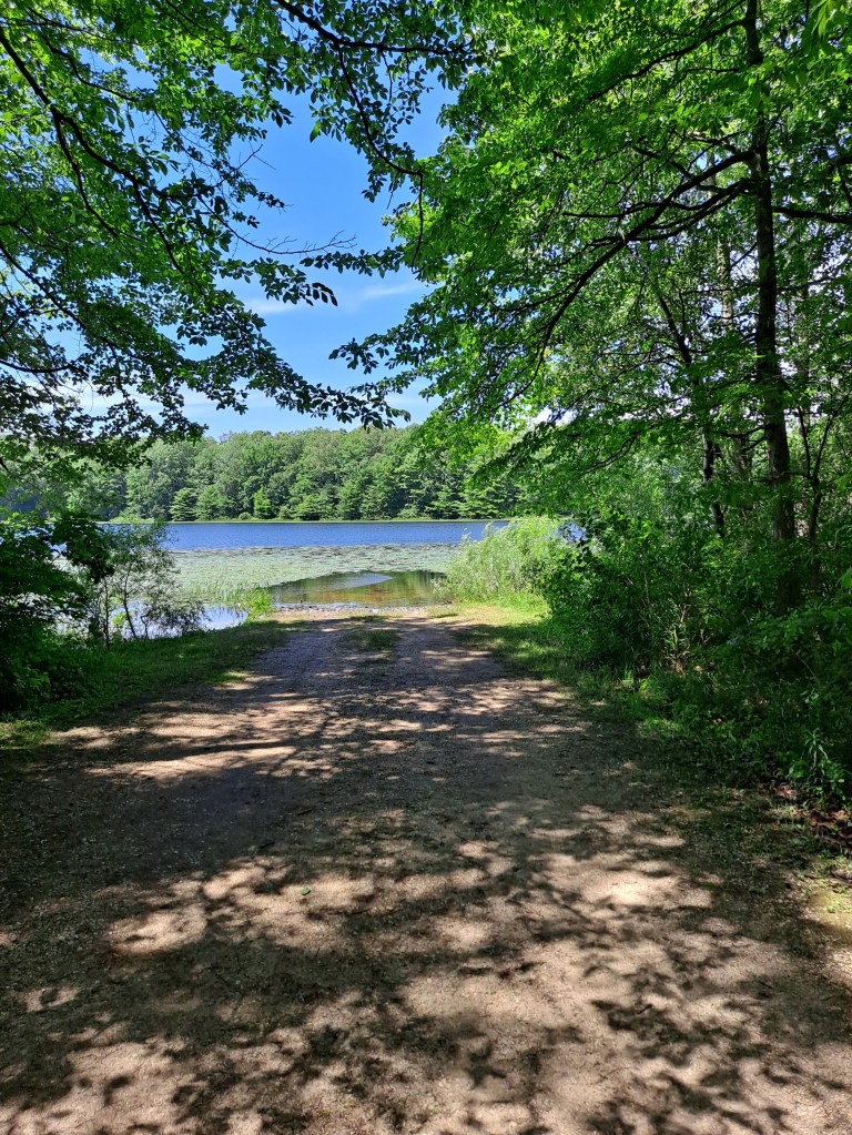
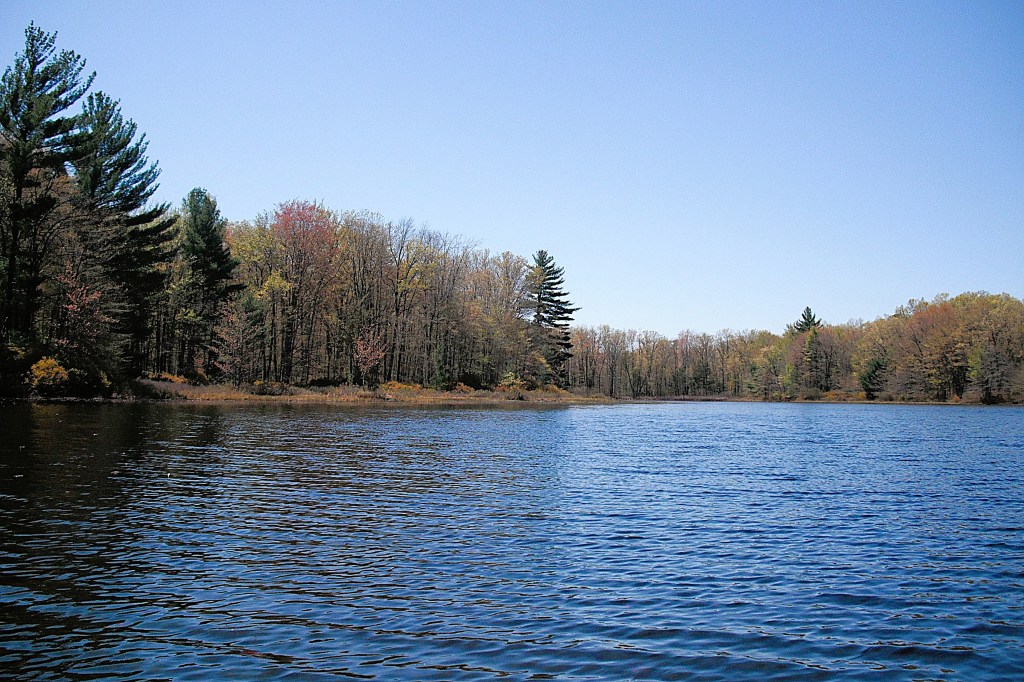
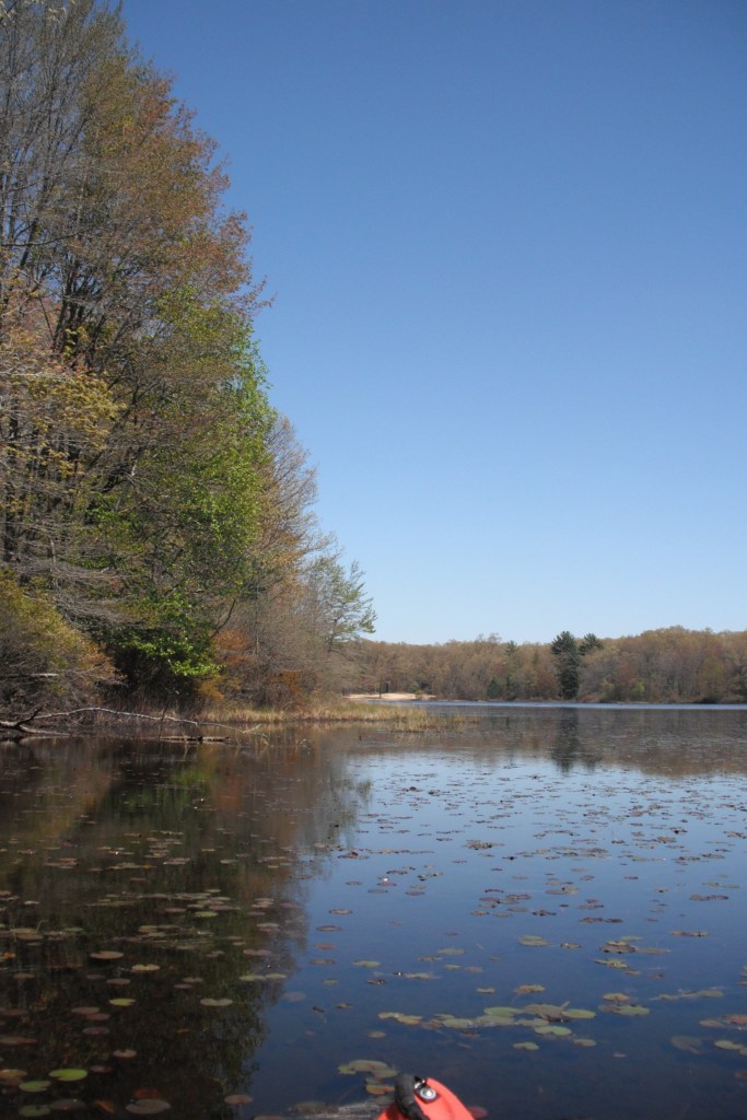
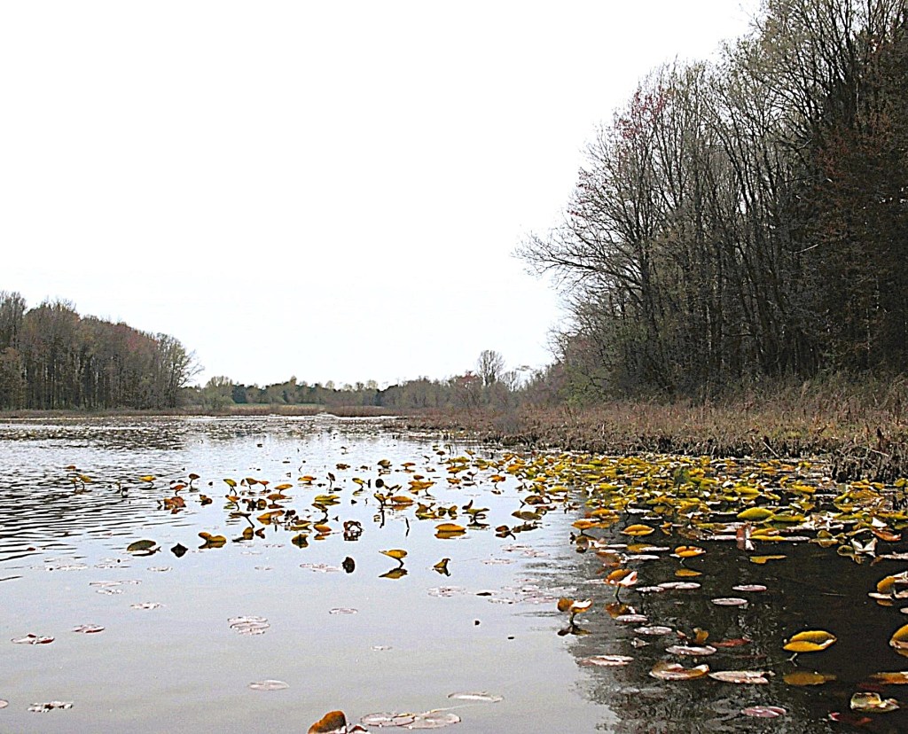
127 acre Otis Lake is more of a swamp than a lake. Because of its shallow nature, the lake is choked with aquatic vegetation in the warmer months of the year. Access to the lake is on Otis Lake Road in Rutland Township. Boats can be launched from the shoulder of the road. I kayaked the lake in early summer and the vegetation had already taken over most of the lake, making it difficult to paddle. I was able to explore by paddling areas of sparse vegetation growth. Early spring or late fall is the best time to explore Otis Lake. I didn’t see a single fish in the lake, so leave your fishing tackle at home. The forested hills of Barry State Game Area surround the lake.
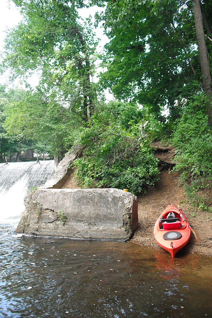
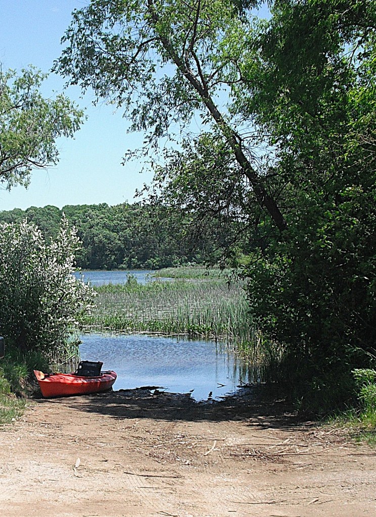
The top photo was taken on Black Friday in November. The bottom photo is during summer.
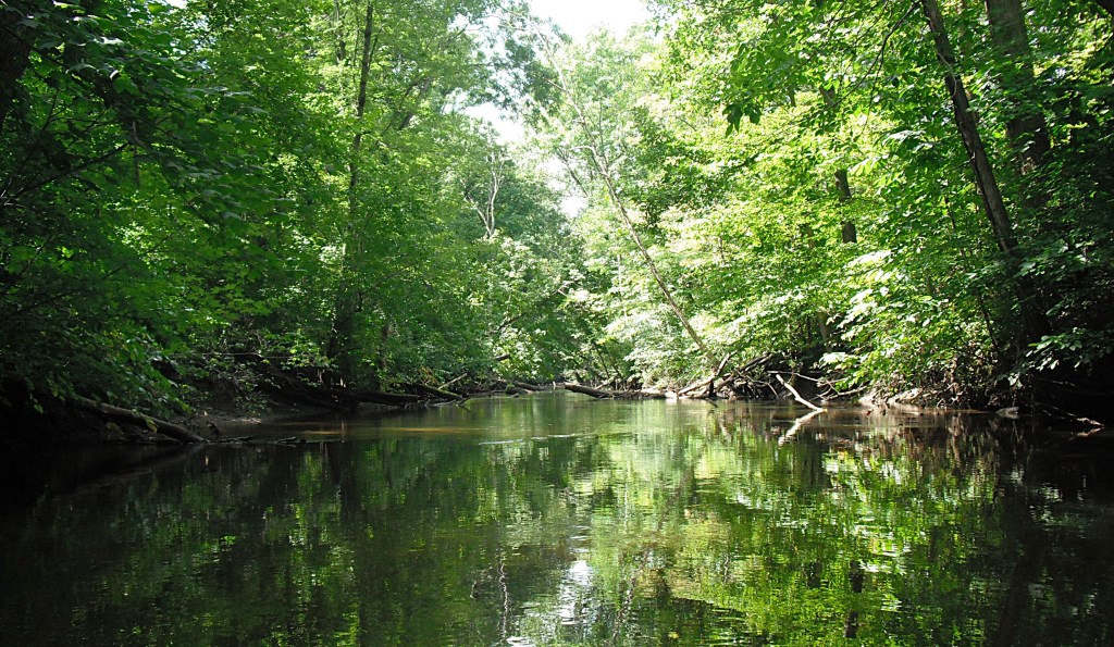
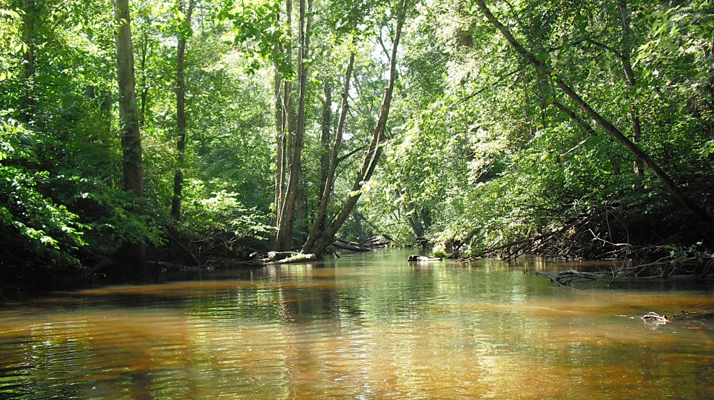
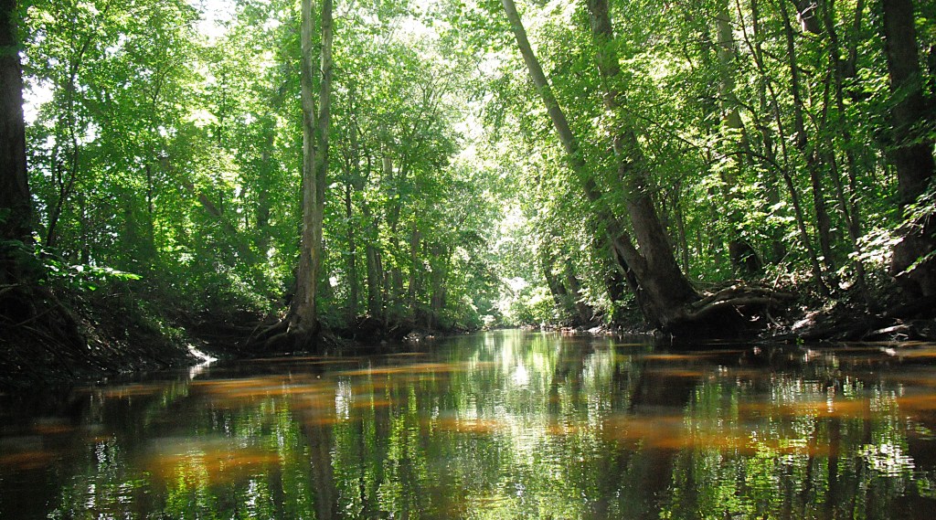
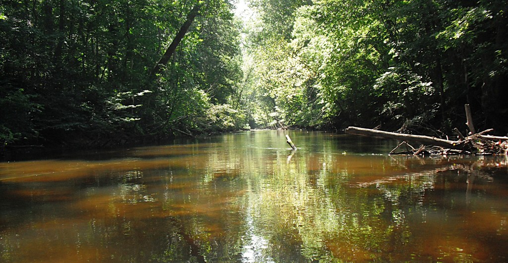
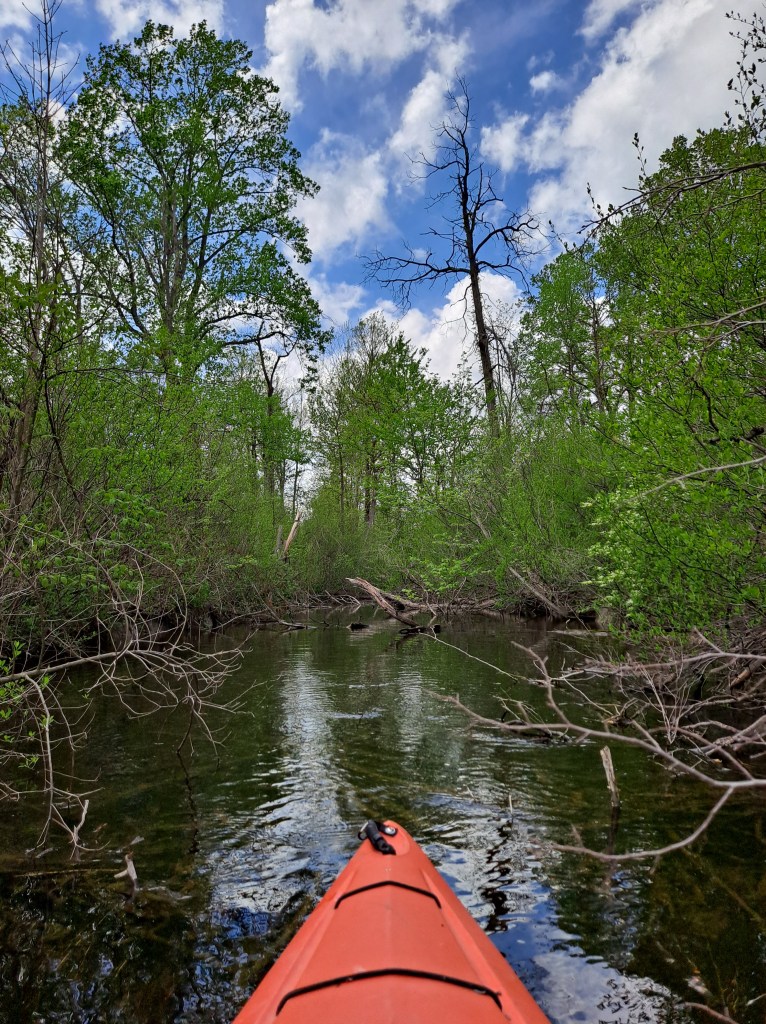
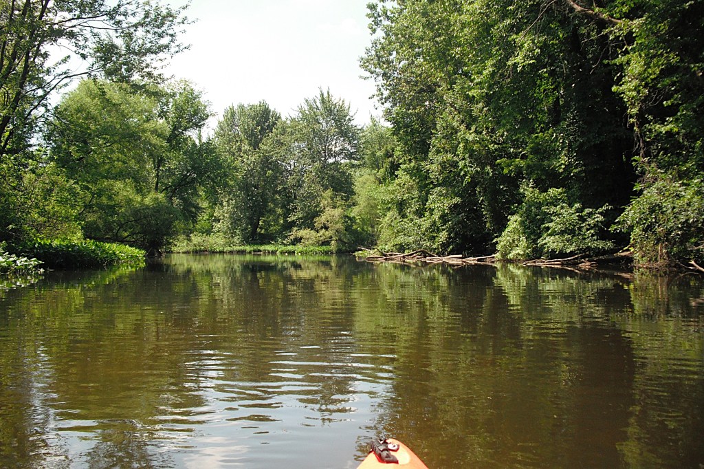
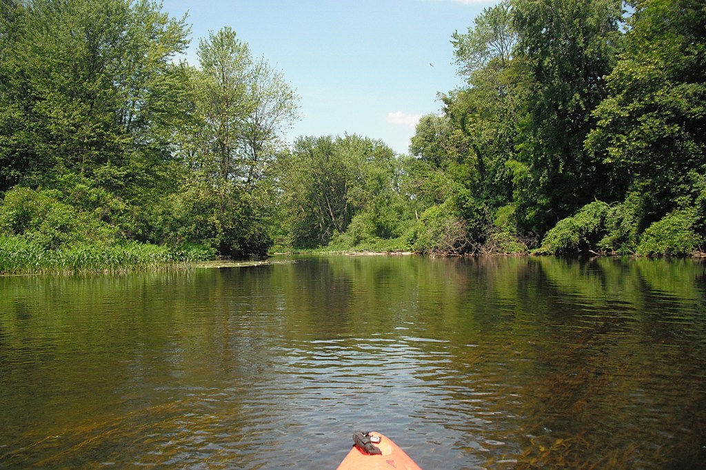
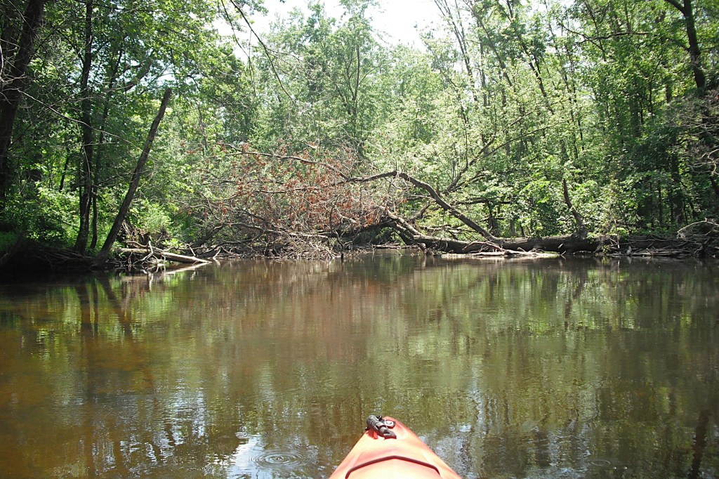
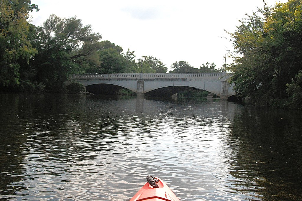
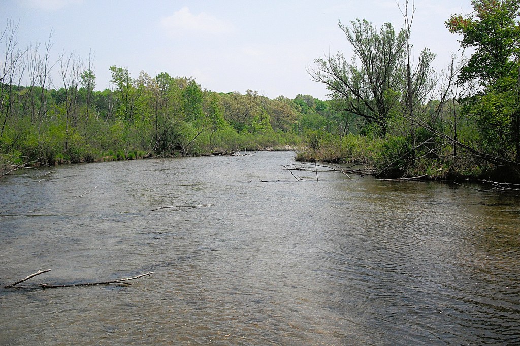
This stretch of the Dowagiac River, from M51 to Peavine Street, is different from most southwestern Michigan rivers. Most rivers are bathed in sunshine. The Dowagiac River is shaded by the forest canopy. Sunlight filters through in some places. You can leave your sunscreen at home.
The Dowagiac River was straightened and dredged in the 1920’s. Consequently, the river does not meander. It gently curves through the countryside, without loops or sharp turns.
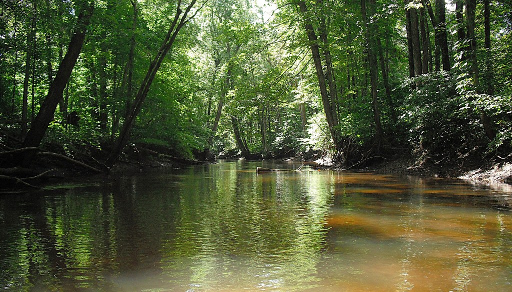
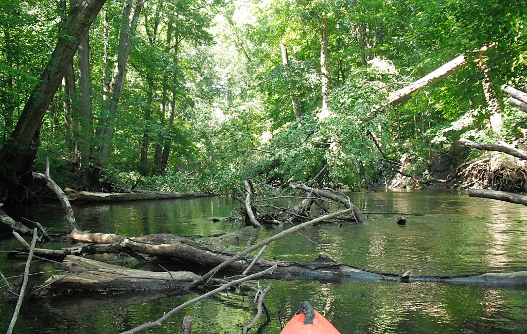
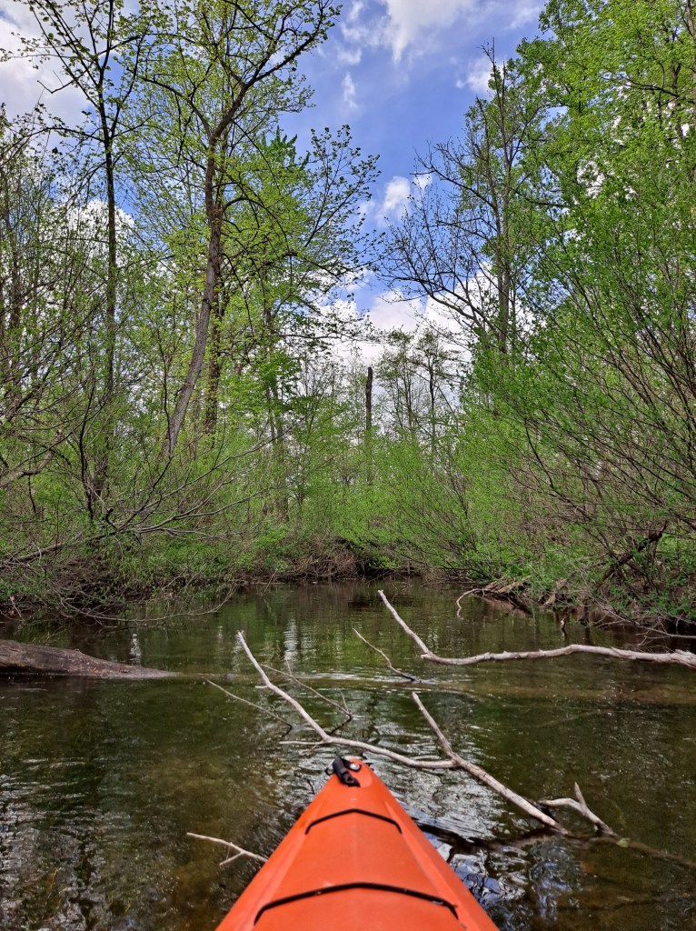
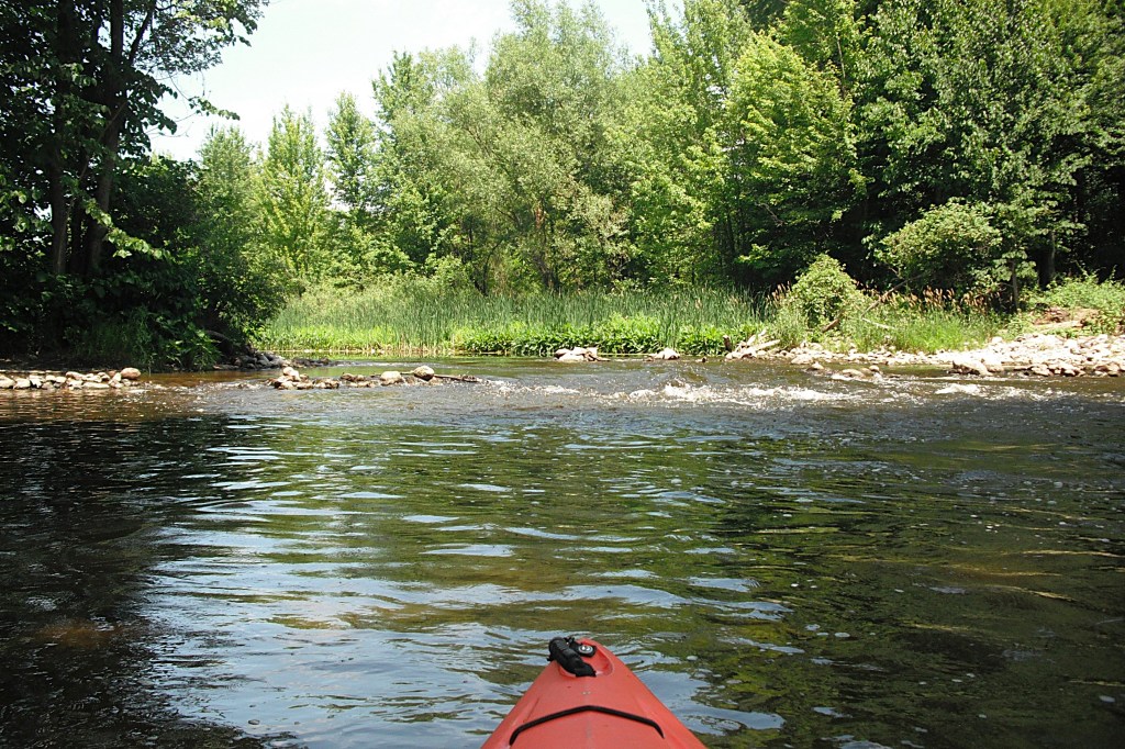
A byproduct of the dredging is the steep banks at the river’s edge for much of its course. The river bottom is mostly sand with some gravel here and there. Water depth is mostly one to three feet. There are some deeper scour holes around trees and logjams. On the day of my voyage, the water was slightly cloudy. The only obstacles are trees and tree limbs.
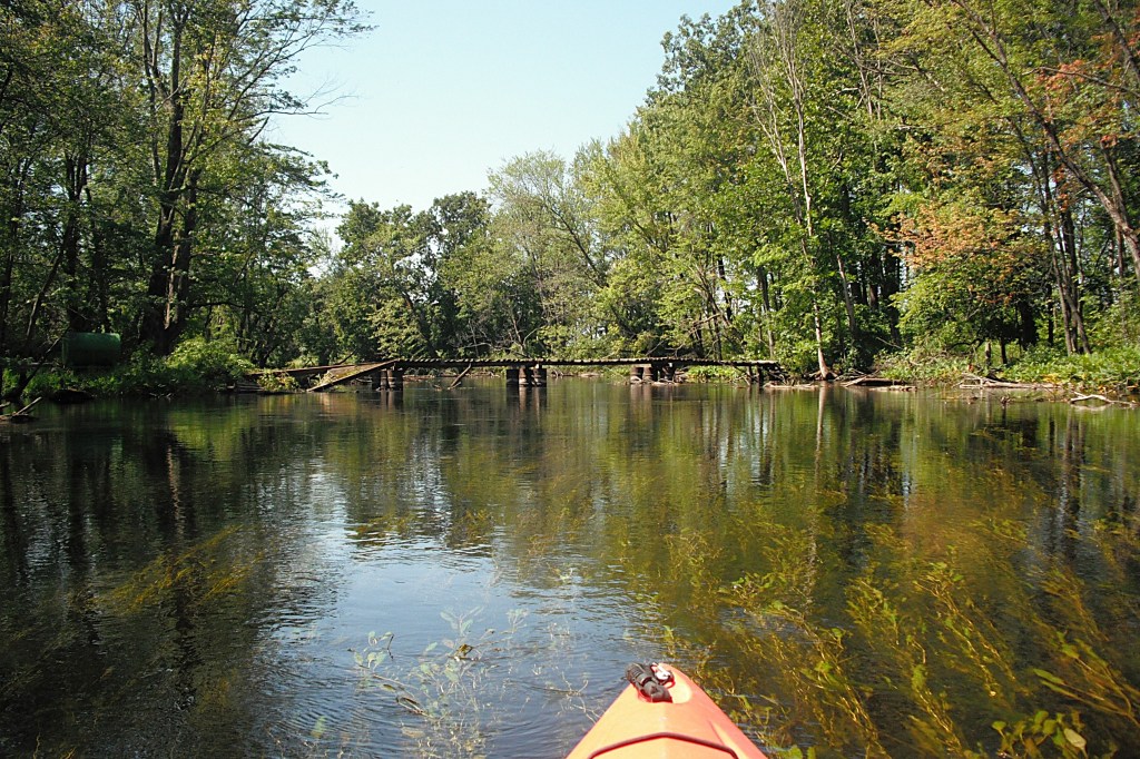
During this six and a half mile voyage, the river passes under six bridges: M51, Middle Crossing Road, Yaw Street, M62, Frost Street, and Peavine Street.
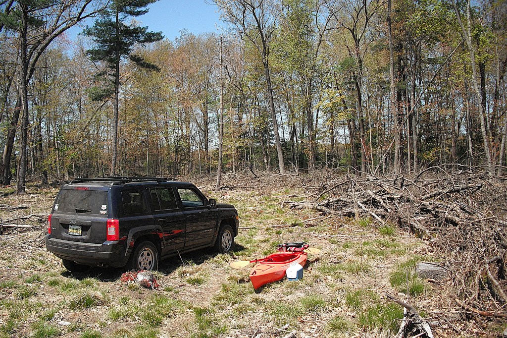
My trip took place in late August of 2021. I used a canoe/kayak livery, Doe-Wah-Jack’s Canoe Rental, for shuttle service. It is located on highway M51, a little over two miles north of the Dowagiac city limits, on the south side of the river and on the east side of the highway.
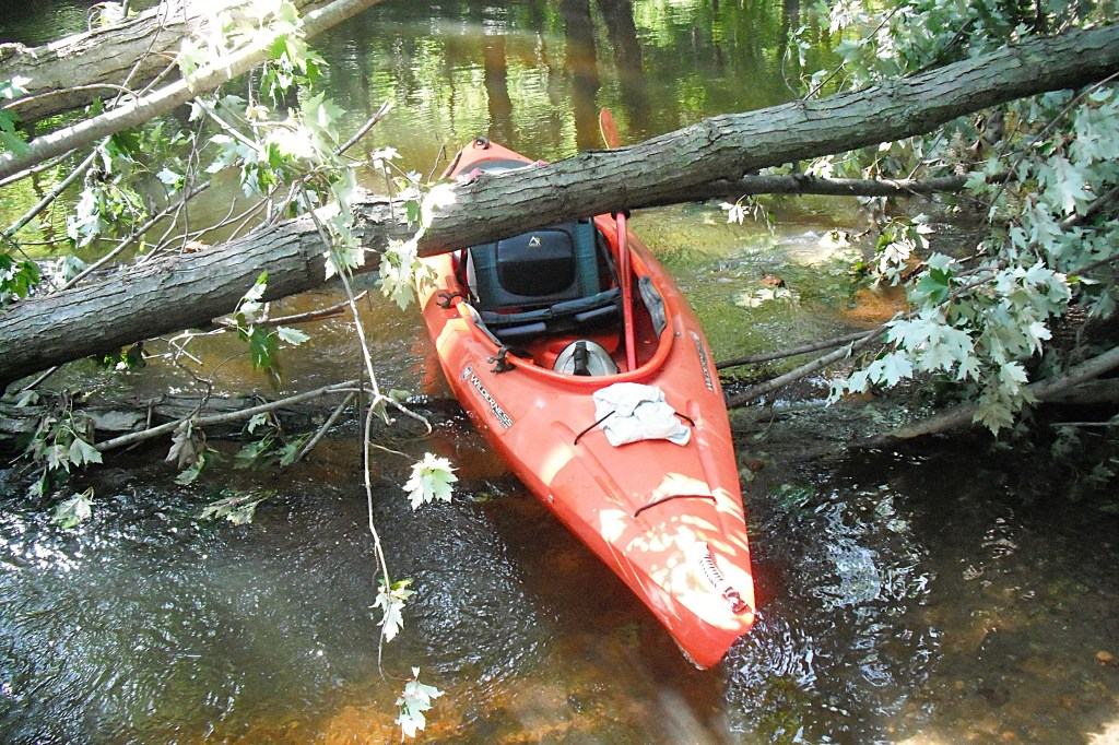
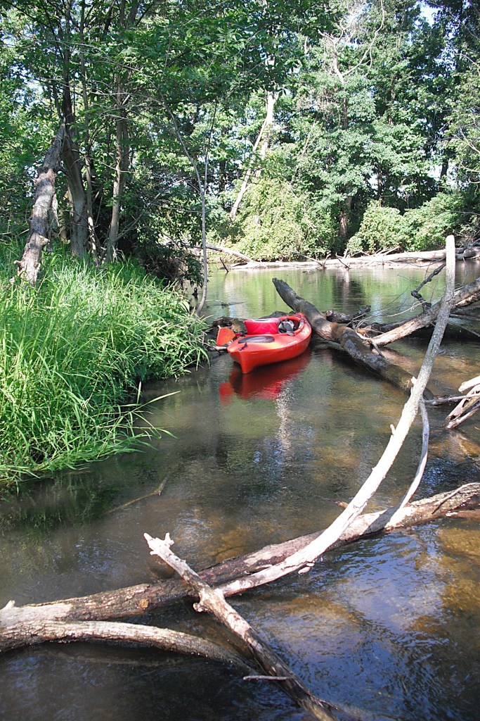
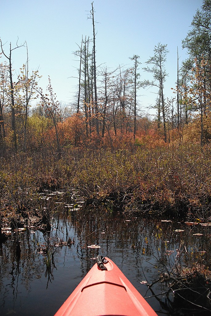
The livery is very diligent about clearing paths through fallen trees that completely block the river. I encountered one large logjam that they hadn’t gotten to yet. A huge tree fell across the river and it took several other trees with it, creating a massive blockage. I found what looked to be the best place to get through and got out of my kayak. I waded the logjam, climbing over, under, and through the tangle of trees, pulling my kayak behind me.
After finally clearing the logjam, I turned around for one last look upstream at the blocked river.
I don’t regard logjams like this as something to detest or dislike. It’s part of nature. I like the challenge of getting through safely. It’s all part of the total kayaking experience. A positive mindset makes portaging fun, instead of making it a chore.
During my trip, I discovered two abandoned rental kayaks. Each one was thoroughly stuck in a log jam. I found out that the kayakers walked out. Quitting is for sissies.
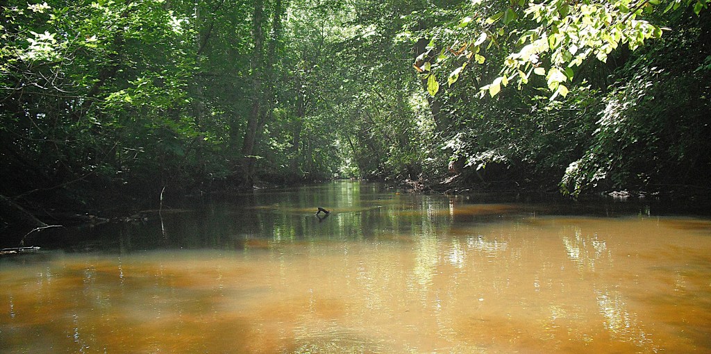
I was disappointed when the boat landing came into view. The Dowagiac River was so much fun to kayak that I didn’t want my trip to end. Paddling through the tunnel of trees was enchanting.
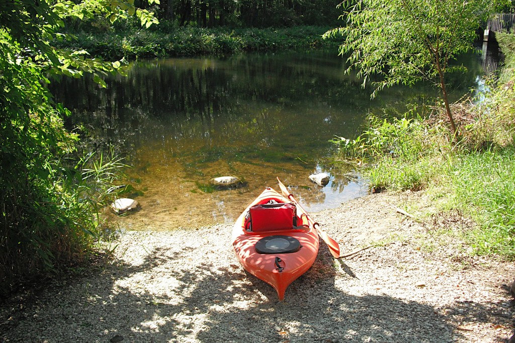
The river access site is immediately downstream from the Peavine Street bridge. There are steps and a boat slide that will take you up from the river’s edge to the loading/unloading area. There are no restrooms.
I don’t know why it took me so many years to return to the Dowagiac River. From now on, I’ll be sure to make it an annual trip!
Most kayakers ignore Rupert Lake because of its small 28 acre size. My curiosity got the best of me, so I set out on a sunny May afternoon for a peaceful paddle.
The lake is located in the northwest corner of Kalamazoo County, in Alamo Township. The MDNR landing is on the north side of B Avenue, Between 2nd Street and 6th Street.
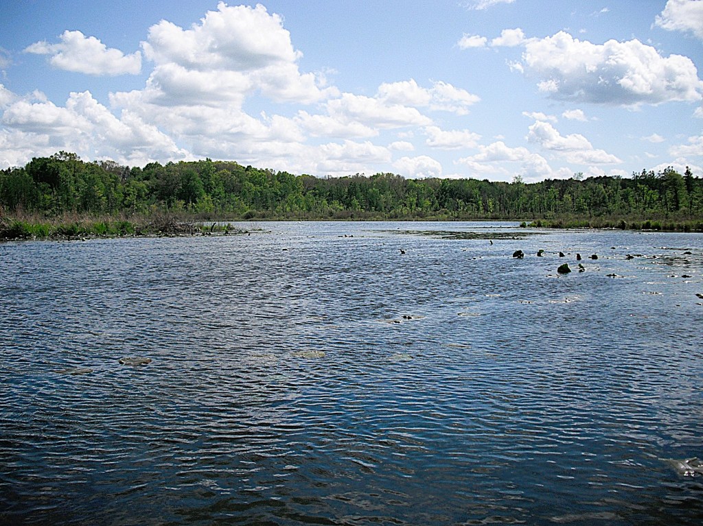
Most of the lakeshore is undeveloped and pleasant to paddle. A near-shore drop-off exists around most of the lake. The maximum depth is 29 feet.
The water trail begins at Hogset Lake in Portage, Kalamazoo County and ends at Conservation Park in Three Rivers, St. Joseph County. I recommend dividing the water trail into six or seven individual trips. I will provide information on each segment. The primary waterways are Gourdneck Creek, Portage Creek, the Portage River, and the St. Joseph River. There are seven lakes to cross: Hogset, Gourdneck, Sunset, Barton, Kimbal, Portage, and Hoffman.
HOGSET LAKE TO SUNSET LAKE ON GOURDNECK CREEK
There are two access sites on Hogset Lake.
Prairieview Couny ParkGourdneck State Game Area
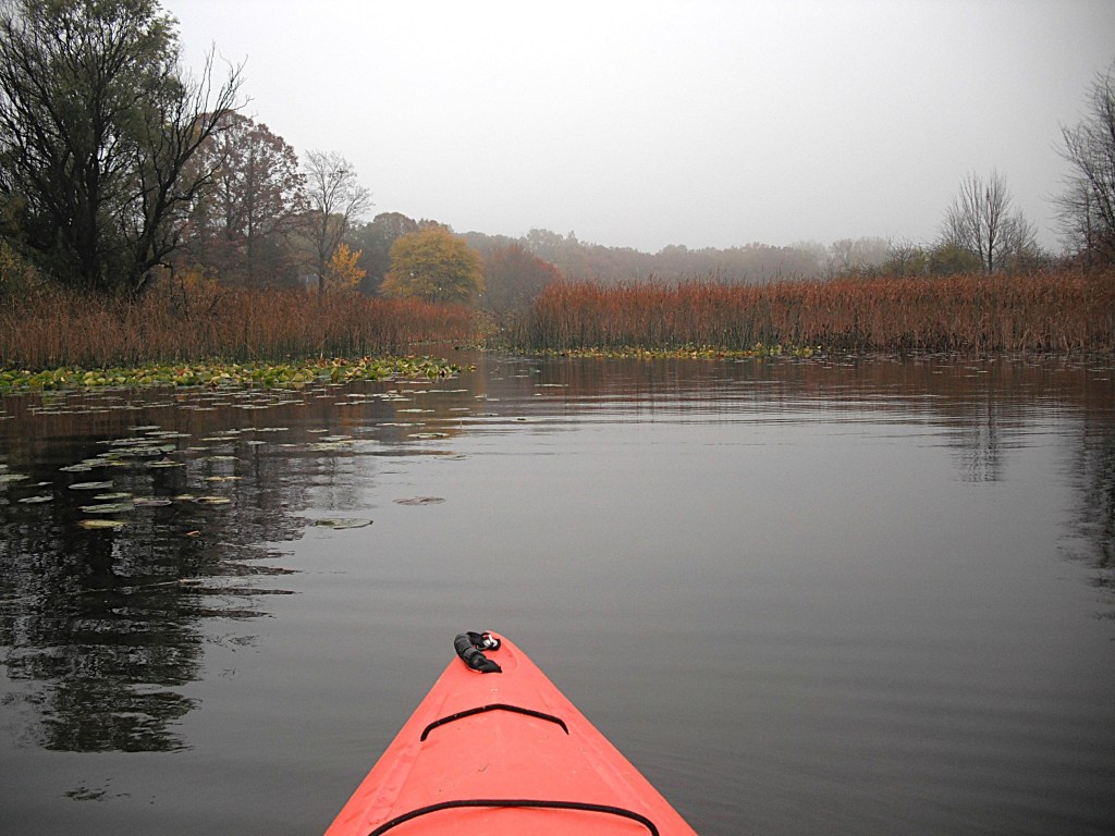
A short channel connects Hogset Lake to Gourdneck Lake. Gourdneck Creek flows out of the southeast corner of Gourdneck Lake.
Approaching the creek on a foggy fall morning.
Some stretches of Gourdneck Creek can become choked with lily pads in the warmer months of the year. Spring or fall are the best times to paddle this segment.
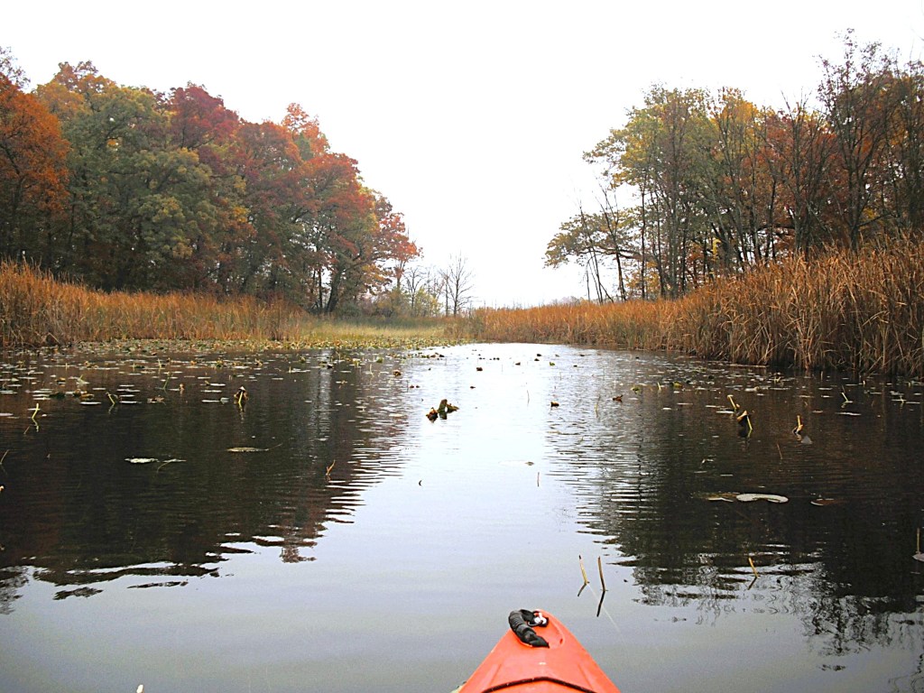
Kayaking Gourdneck Creek from Gourdneck Lake to Sunset Lake is mostly through cattail marshes. Sometimes, clumps of cattails break off from the cattail bed and float downstream, collecting in curves and narrow spots, blocking the creek. On my most recent trip, we fought our way through a blockage and it took us a half hour to go forty feet. Turning around and going back never entered our minds because quitting is for sissies. Be prepared!
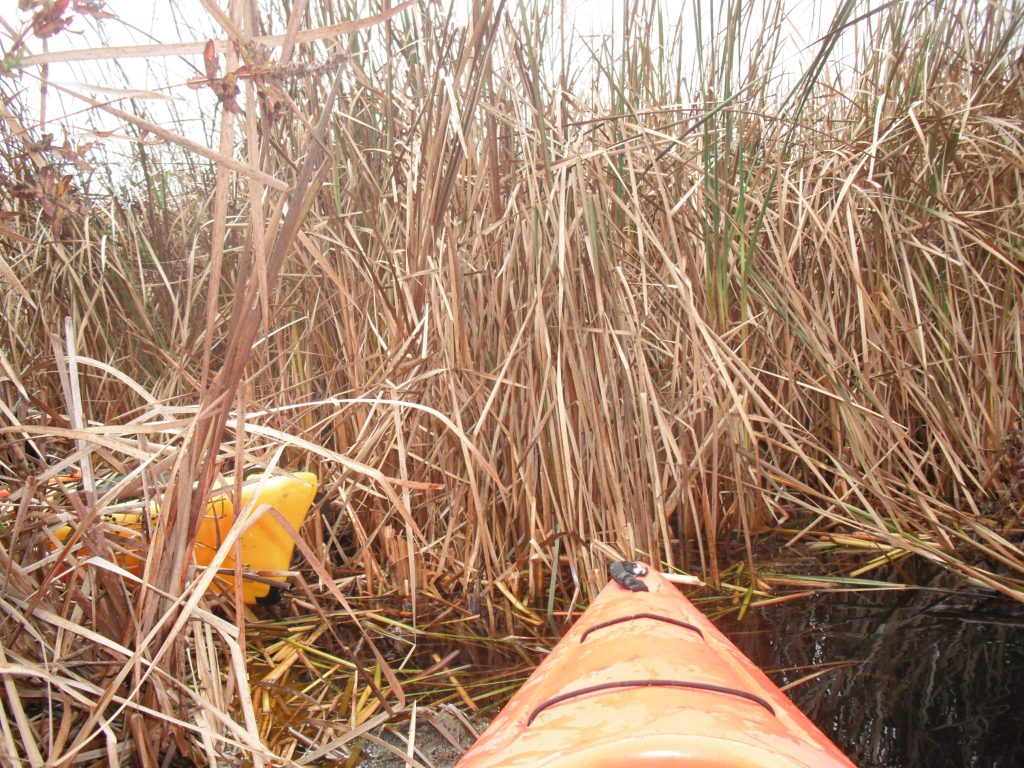
The creek passes under a low clearance bridge at 23rd Street. The banks on the side of the road are steep. The streamside is thick cattails and brush. Portaging over the road is not an option. I slouched way down in my kayak and barely made it under the bridge. Another time, I had to get out of my kayak and wade it under the bridge. Water levels may vary.
After the bridge, it’s pretty much clear sailing. There may be some downed trees to contend with.
Gourdneck Creek flows into the north end of Sunset Lake. A mile-long bayou begins at the creek mouth and connects to the main basin of the lake.
Entering the main basin.
The boat landing is in Sunset Lake Park, on the west side of the main basin.
SUNSET LAKE TO BARTON LAKE ON PORTAGE CREEK
There are two Portage Creeks in Kalamazoo County. The Portage Creek in this water trail is in the St. Joseph River watershed.
The first mile of this segment is not navigable. I still wanted to kayak it, so I did the next best thing. I launched my kayak at the MDNR Barton Lake access. I paddled across Barton Lake and upstream on Portage Creek as far as I could go. Then, I returned to the Barton Lake landing.
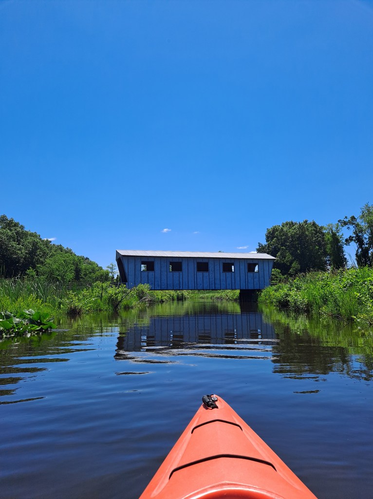
Head northeast across the lake from the boat landing to the mouth of the creek. The creek mouth is difficult to spot from a distance because all of the shoreline looks the same – cattail marsh. The stream is bordered by wetlands for most of this segment. The lower portion of the creek is wide with very little current.
A covered bridge spans the creek.
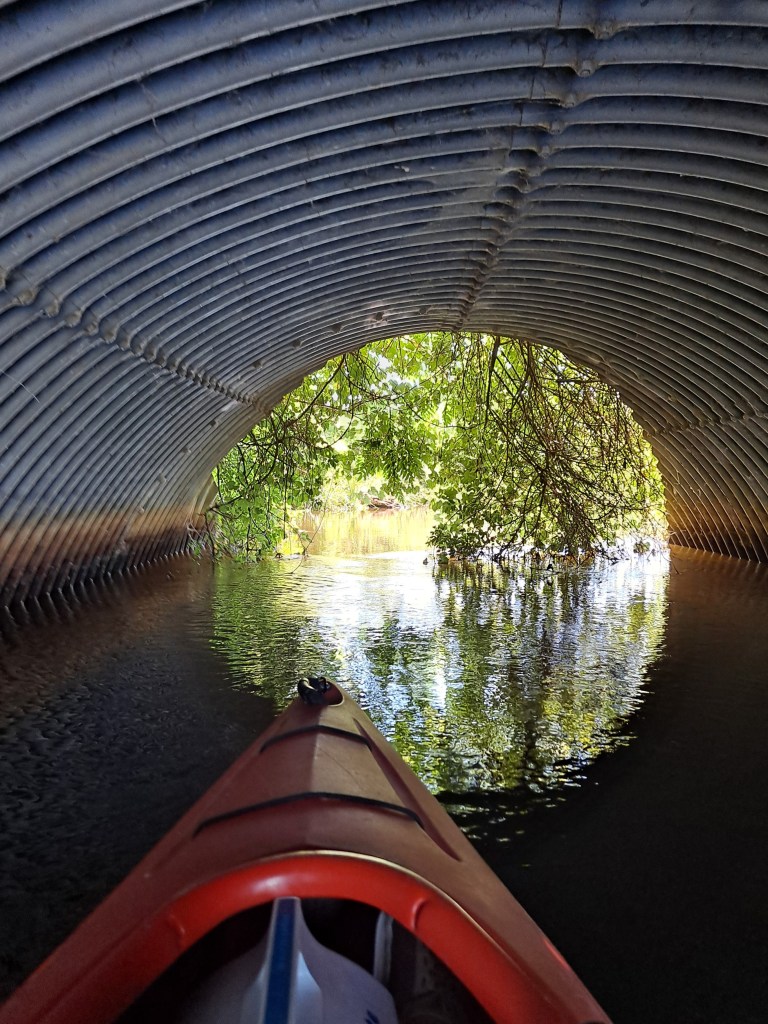
The creek passes through two large side-by-side culverts, but only one is navigable.
The creek gradually narrows as you go upstream and the current picks up speed. It’s not difficult to paddle against the current.
The point at which you turn around and paddle back to Barton Lake and the landing is up to you.
PORTAGE CREEK, FROM BARTON LAKE TO THE SILVER STREET BRIDGE
This segment begins at the MDNR Barton Lake access. From the boat landing, head southeast across the lake to Portage Creek.
The creek flows south, then east to 22nd Street. The culverts under the road are not navigable, so a portage is necessary. The water depth on each side of the road drops off quickly, so use caution when portaging.
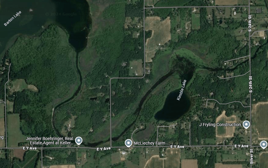
Below 22nd Street, the creek heads northeast and passes through the north end of Kimbal Lake before intersecting the Silver Street (South 24th Street) bridge, south of Vicksburg.
There is no formal boat landing. The best place to take out is on the south side of the river, on the west side of the bridge. Parking is on the side of the road. If you are spotting a vehicle on Silver Street, be mindful of the “No Parking” signs. I didn’t get ticketed, but I can’t guarantee that you won’t be cited.
PORTAGE CREEK, FROM THE SILVER STREET BRIDGE TO PORTAGE LAKE
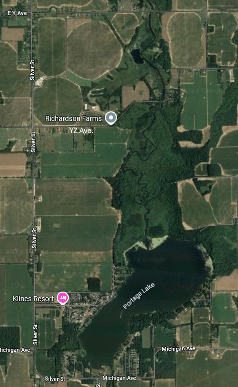
The Silver Street (South 24th Street) bridge is the beginning of this segment. The day trip ends at the MDNR Portage Lake access site. When I look back at this trip, it was a long day of paddling. I wish that I would have divided it into two trips. There are two places to access Portage Creek that are in the middle of the lengthy segment: the Y Avenue bridge and the YZ Avenue bridge. Either one of these two bridges is a good place to break the segment into two separate voyages. There are no formal boat landings at the bridges. Put-in, take-out, and parking are on the side of the road.
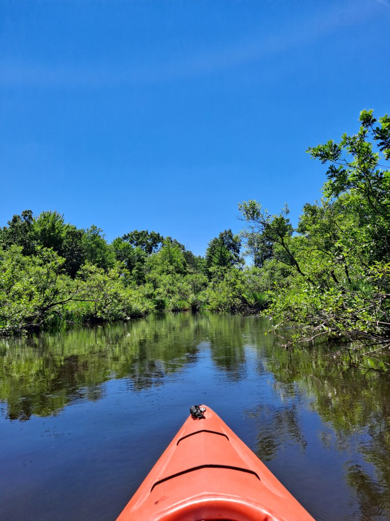
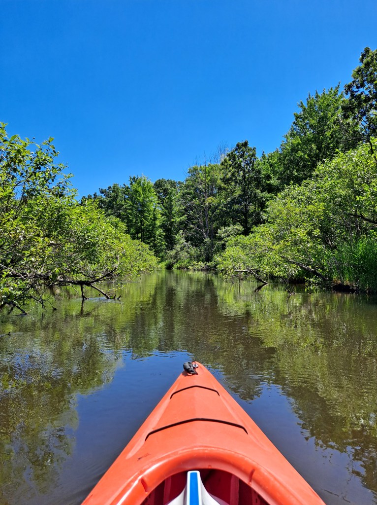
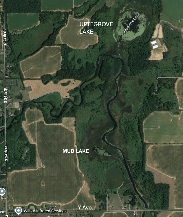
For most of this trip, the creek flows through cattail marshes. Places to get out of your kayak and take a break are few and far between. The creek heads northeast from the Silver Street bridge, then turns south to Portage Lake.
There are two side trips between the Silver Street bridge and the Y Avenue bridge. When the creek changes direction from northeast to south, a channel on the north side of the stream leads to Uptegrove Lake. Farther south, on the west side of the creek, a channel leads to Mud Lake.
Just north of Portage Lake, Portage Creek flows into the Portage River. The Portage River flows into the north end of Portage Lake. It’s a two mile open water crossing to the boat landing on the south end of the lake.
PORTAGE RIVER, PORTAGE LAKE TO NORTH FISHER LAKE ROAD
This trip on the Portage River begins at the MDNR Portage Lake access site. Head east from the landing. The river mouth is at the southeast corner of the lake.
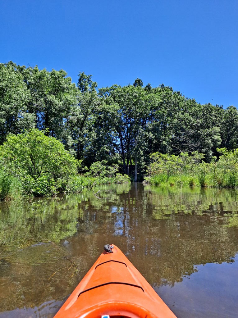
The river corridor is wooded and the riverbanks are mostly undeveloped.
The current is slow and the depth ranges from one to three feet with some deeper holes. From Portage Lake to Parkville, the river is wide and mostly clear of obstructions.
In Parkville, the remnants of an old dam has created a small rapids.
Between Parkville and North Fisher Lake Road, there are a lot of fallen trees in the river. The last time that I paddled this segment, I didn’t have to portage any of the trees.
The next bridge past Parkville is the North Fisher Lake Road bridge, marking the end of this segment. The small landing is on the north side of the river, on the east side of the bridge. Parking is on the side of the road.
PORTAGE RIVER, FROM NORTH FISHER LAKE ROAD TO THREE RIVERS
The beginning of the final segment of the water trail is at the North Fisher Lake Road bridge.
The riverbanks are wooded and the river ranges from one to three feet deep with a few deeper holes. The current is slow.
There are many downed trees in the river to test your kayaking skills. The last time that I was on this section, I only had to portage trees once.
Downstream from the South Fisher Lake Road bridge, the river widens and divides into several channels. Keep an eye out for shallow water. Farther downstream, the channels combine into one.
Approaching Three Rivers, the Portage River enters Hoffman Pond, the backwater of the Boy’s Dam.
When approaching the dam, a small opening in the shoreline brush on the left marks the beginning of the portage trail.
A path leads to the dam. At the dam, a steep hill descends down to the river.
The river then winds through the city of Three Rivers and flows into the St. Joseph River. Head downstream on the St. Joe and pass under two bridges.
The trip ends at the Conservation Park boat landing on the left.
Congratulations! You have now completed the Portage to Three Rivers water trail!
Many kayakers consider Ely and Little Tom Lakes too small to bother with. If you combine paddling both lakes in one trip, you will find it to be a relaxing way to spend an afternoon. I did just that in early May of 2021 and it made for a fun outing. I revisited the lakes in June of 2024, so some of the photos show summertime foliage.
The two lakes are less than four tenths of a mile apart, but they are not connected. Both lakes can be accessed from Ely Lake Park, part of the Allegan County park system. The entrance to the park is on the south side of 116th Avenue, between 48th Street and 51st Street. The park is shaped like a “U” around the east end of Ely Lake. Campgrounds are on both sides of the “U” and a swimming beach is on the bottom of the “U”.
ELY LAKE
The boat landing is in the campground on the south side of the “U”.
The campground can be busy and noisy during the summer months, especially on weekends. I recommend kayaking the lake in the spring or fall, or on a week day. I visited the lake on a Thursday in early May and I had the lake and the park pretty much to myself. I paddled the shoreline all the way around the lake and found it to be very scenic.
LITTLE TOM LAKE
Access to the lake is a unimproved trail that begins in the Ely Lake Park campground on the south side of the “U”. The trail meanders through the forest for about a half mile and dead ends at the lake.
Little Tom Lake is remote. Most of the shoreline is swampy and is backed by woods.
A large wetland on the southeast side of the lake extends all the way to Crooked Lake. The swamp is not navigable.
There is a small marshy area on the west side of the lake.
From the landing, I didn’t think Little Tom Lake looked very interesting. My opinion changed once I got in my kayak and paddled the shoreline around the lake. I found it to be picturesque and well worth the visit.
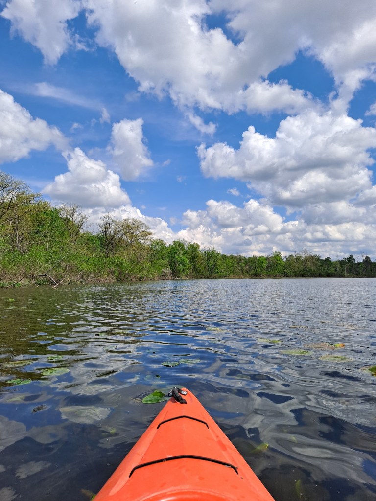
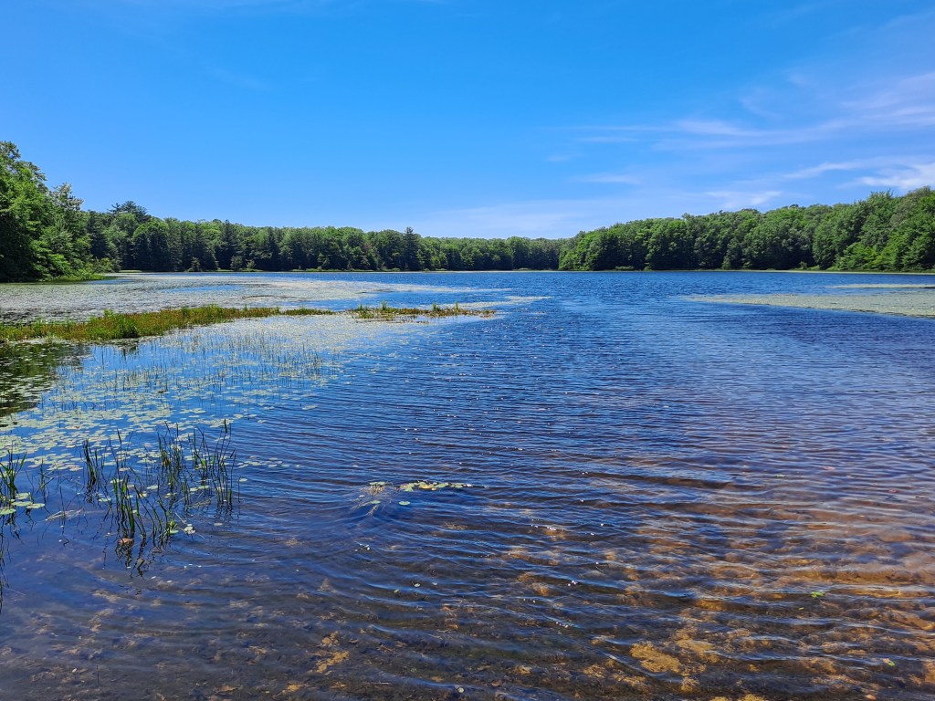
There aren’t very many coastal plain marshes in Michigan and Crooked Lake is the largest one in the state. Crooked Lake is regionally popular as a ecotourist destination. The reason for this popularity is the area’s biodiversity and rare plant life. I just think it’s a cool lake to kayak!
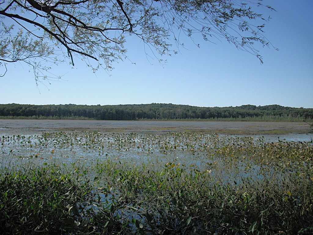
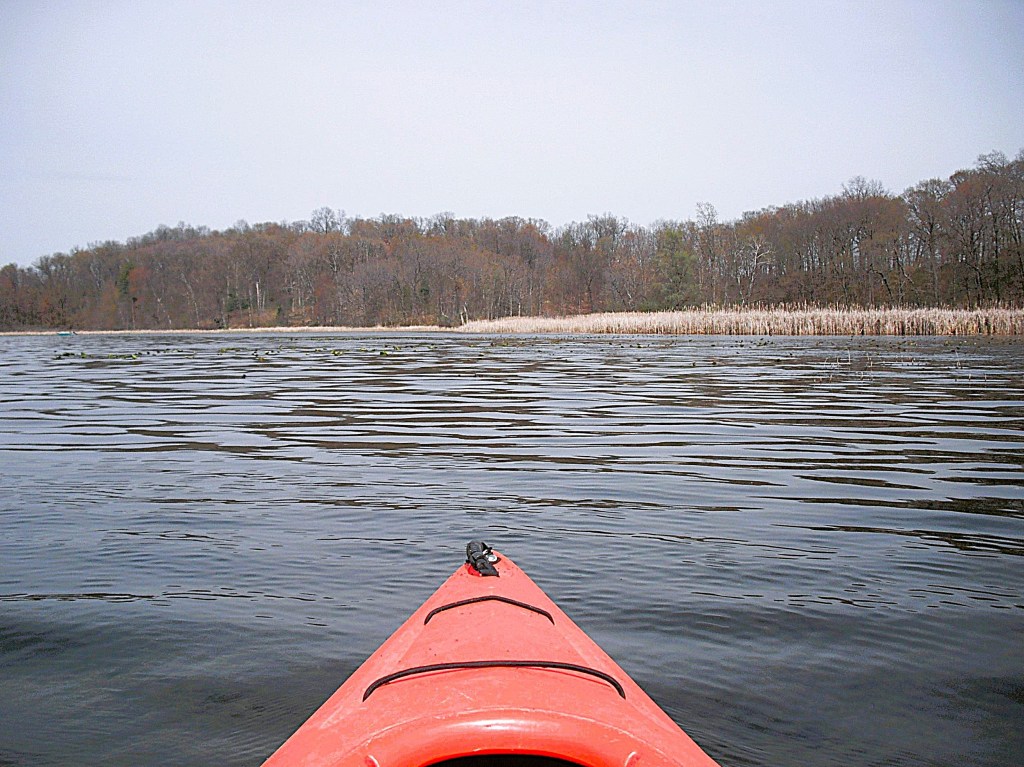
At 397 acres, Crooked Lake is quite large, but its water level fluctuates greatly. When the water table is low, the lake can dry up completely. I kayaked the lake in early May of 2021 and most of the water was a foot deep. The deepest spot that I could find was only four feet. Because of the shallow nature of the lake, it is choked with aquatic vegetation in the warmer months of the year, making it very difficult to paddle. Due to cold weather during spring of 2021, the veggies were not up yet and I easily paddled the lake. I thought the shoreline would be swampy and the lake bottom would be muddy. I was wrong on both counts. The shoreline and the lake bottom are hard packed sand.
Many thanks to the Michigan Department of Natural Resources for closing the Crooked Lake public access with a padlocked gate. Maybe the access will be open when you visit the lake. It’s on the west side of 48th Street, between 116th Avenue and 113th Avenue.
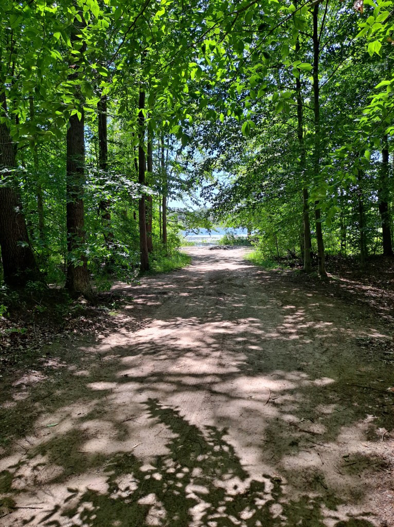
The access that I found was not easy, but I was determined to kayak Crooked Lake. Besides, quitting is for sissies. I traveled a unimproved trail northwest from 113th Avenue, between 48th Street and 49th Street. The trail went through a logged off area of the forest that was loaded with slash piles. I parked when I could go no farther by vehicle.
The shoreline of much of the lake is lined with thick, impenetrable brush. For this reason, hike to the lake without your kayak and find a suitable spot to launch. This strategy will save you a lot of grief. You don’t want to be aimlessly wandering through the woods with your kayak, looking for a place to get to the water.
It was about a hundred yard walk amongst the slash piles and through a wooded area. When I reached the shore, I was greeted by lake scenery that was quite unlike anything that I had ever seen before.
I didn’t waste any time returning to the lake with my kayak!
Several years after I wrote this, I revisited the lake during summer. The trail that I used to access the lake was closed. The gate was open at the boat landing and the trail to the lake was in good shape.
Before you jump into your kayak, find a good landmark so you can find your access spot later. The shallow, weed-covered lake was flat calm. There is a blueberry farm on the south end of the lake. A large wetland is on the northwest end of the lake and it is choked with thick brush.
On the west side of the lake, north of the blueberry farm, an opening in the wooded shoreline revealed a vast swamp, also choked with brush. The rest of the shore is forested.
I saw ducks, geese and sandhill cranes scattered around the lake. The geese and the cranes were quite vocal. I thoroughly enjoyed kayaking along the shores of Crooked Lake. Sometimes, I think that photos speak better than words.
By the time I finished circumnavigating the lake, my stomach was growling. I had lunch waiting for me back at my Jeep. The thought of a sandwich, potato salad, and a cold beer made the difficult carry fast and easy. Go paddle the scenic waters of Crooked Lake! You’ll be glad that you did!
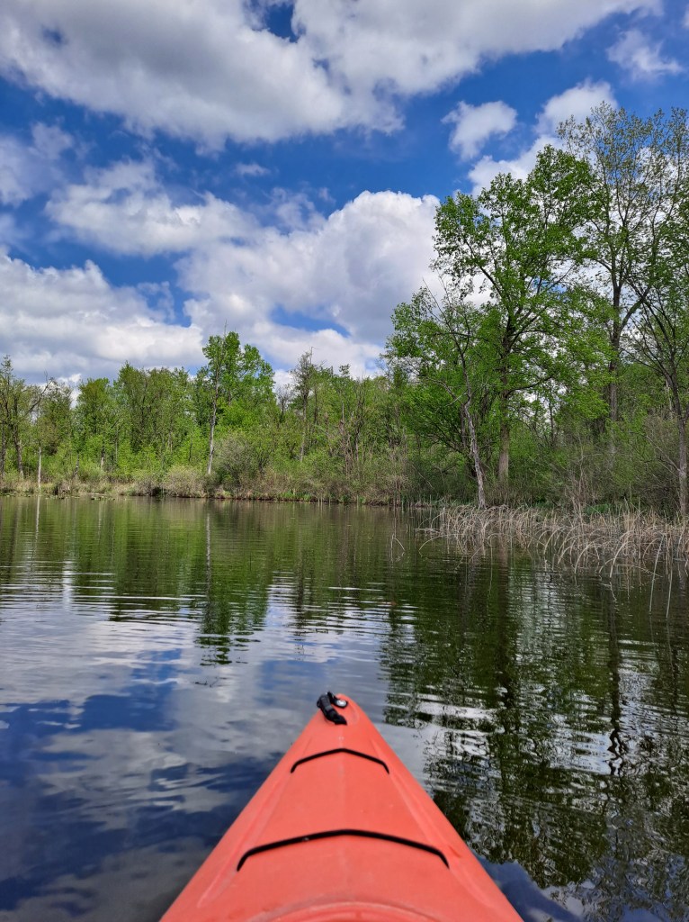
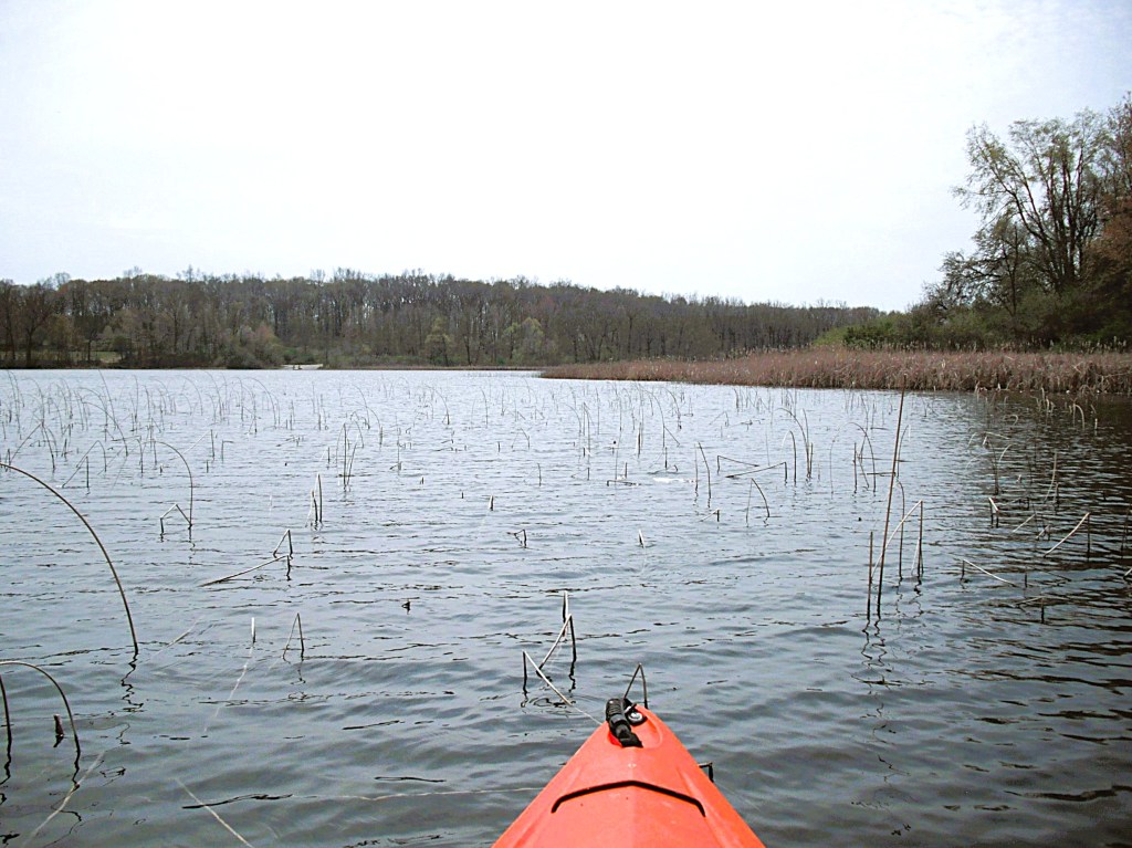
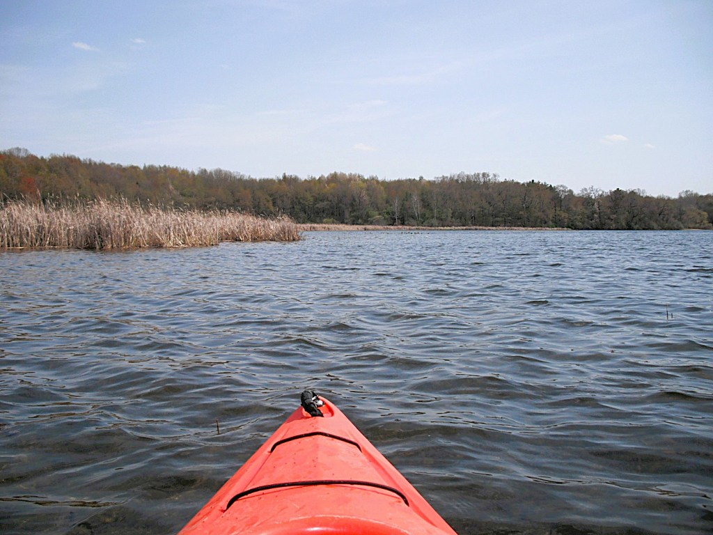
These three connected lakes are located on the north side of MN Avenue, between 40th Street and 44th Street, southeast of the city of Galesburg. Portage, Blue, and Long Lakes are best paddled in spring. They are still fun to kayak in the summer and fall, but large areas of the lakes are difficult if not impossible to access due to excessive growth of lily pads, reeds, cattails, and other aquatic vegetation. I visited the lakes in late April of 2021 and easily paddled wherever I wanted to go. There are some homes and cottages on the lakes, but most of the shoreline is undeveloped, leaving kayakers with plenty of natural coastline to explore. A satellite photo shows how Portage, Blue, and Long Lakes relate to each other.
One of the highlights of the lakes is the scenic Coldbrook County Park. The park borders a large portion of Portage and Blue Lakes and features a swimming beach, boat ramp, disc golf course, day use area, modern and rustic campgrounds, and modern restrooms. With kayaking and other activities, it’s pretty easy to spend a whole day at Coldbrook Park.
BLUE LAKE
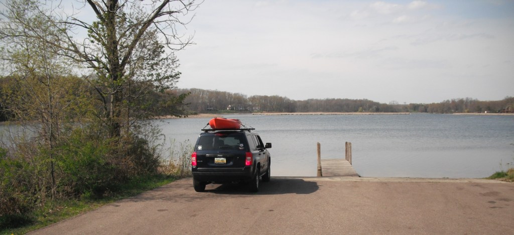
The only public boat landing on Portage, Blue, and Long Lakes is in Coldbrook Park, on the south end of Blue Lake. Follow the park signs to the boat ramp.
The park swimming beach and a picnic shelter are also on Blue Lake. The shoreline is mostly marsh backed by woods.
PORTAGE LAKE
A large island of cattails is on the northwest side of Blue Lake, separating it from Portage Lake. Portage Lake is accessed by paddling west at the north end or the south end of the cattail island. The Coldbrook Park day use area is on the south end of Portage Lake.
A pedestrian causeway heads west from the day use area to the modern campground. A footbridge at the center of the causeway spans a short channel.
The channel leads to a small unnamed lake. This lake is the source of the Portage River.
At the west end of Portage Lake, there is an island that is host to the park’s rustic campground. The island can be accessed by a vehicle causeway on the south side of the island. The portion of the lake that is west of the island and west of the causeway is not navigable.
South of the island, looking west.South of the island, looking east from the vehicle causeway.North of the island, looking west.
A long, wide peninsula on the north side of Portage Lake separates it from Long Lake.
LONG LAKE
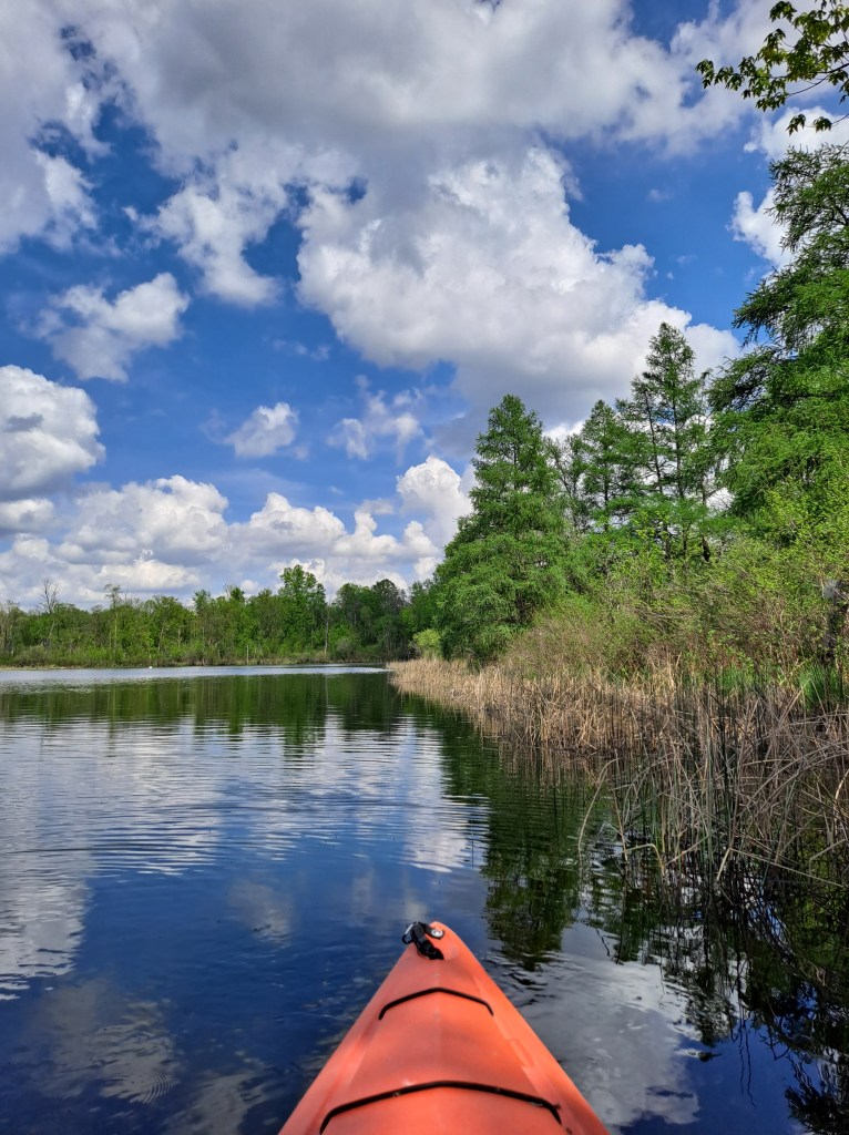
On the north end of Blue Lake, there is a wide channel between the cattail island and a shoreline cattail marsh. Heading north from this channel will take you to Long Lake. To access Long Lake from Portage Lake, paddle east along the north shore of Portage Lake. When you get to the tip of the peninsula, turn north. The shores of the north and east sides of Long Lake are, for the most part, undeveloped.
There is a cove on the northwest corner of the lake.
Another scenic cove is on the northeast corner of Long Lake.
An opening in the shoreline cattails on the south side of the northeast cove reveals a narrow, picturesque waterway.
The south halves of Portage and Blue are the only part of the waterway that is bordered by public land, so plan accordingly when you kayak these lakes. If you like to get out of your kayak once in while to take a break, there aren’t very many places that are suitable.
The waters of Portage, Blue, and Long Lakes are fun to paddle and are definitely worth a visit!
Three Lakes lies between Richland and Galesburg on 35th Street, between FG Avenue and EF Avenue. The individual lakes that comprise Three Lakes are not formally named. For convenience, I will refer to them as East Lake, Middle Lake, and West Lake. Obviously, I named them for their geographical position. Three Lakes lies within the Gull Creek watershed, part of the Kalamazoo River watershed.
EAST LAKE
A small parking area on the east side of 35th Street provides access to East Lake. Water flows from Middle Lake to East Lake through a small culvert next to the access.
The shoreline on East Lake is undeveloped. No homes are visible from the lake.
There is a gently winding scenic bayou on the southeast corner of the lake.
Gull creek flows out of East Lake at the end of the bayou.
Gull Creek flows into the northeast corner of East Lake. The creek flows through an area of cattail marsh that is interesting to explore.
MIDDLE LAKE
Middle Lake is the largest lake of the Three Lakes chain. Access and parking are on the west side of 35th Street, on the wide shoulder of the road. There are only a couple homes on the lake, leaving plenty of undeveloped shoreline for paddlers to explore.
There is a small, shallow, unnamed creek that flows into the northwest corner of Middle Lake. It’s only navigable for a couple hundred feet, but it’s still fun to explore.
The mouth of the creek that provides access to West Lake is on the west end of Middle Lake.
WEST LAKE
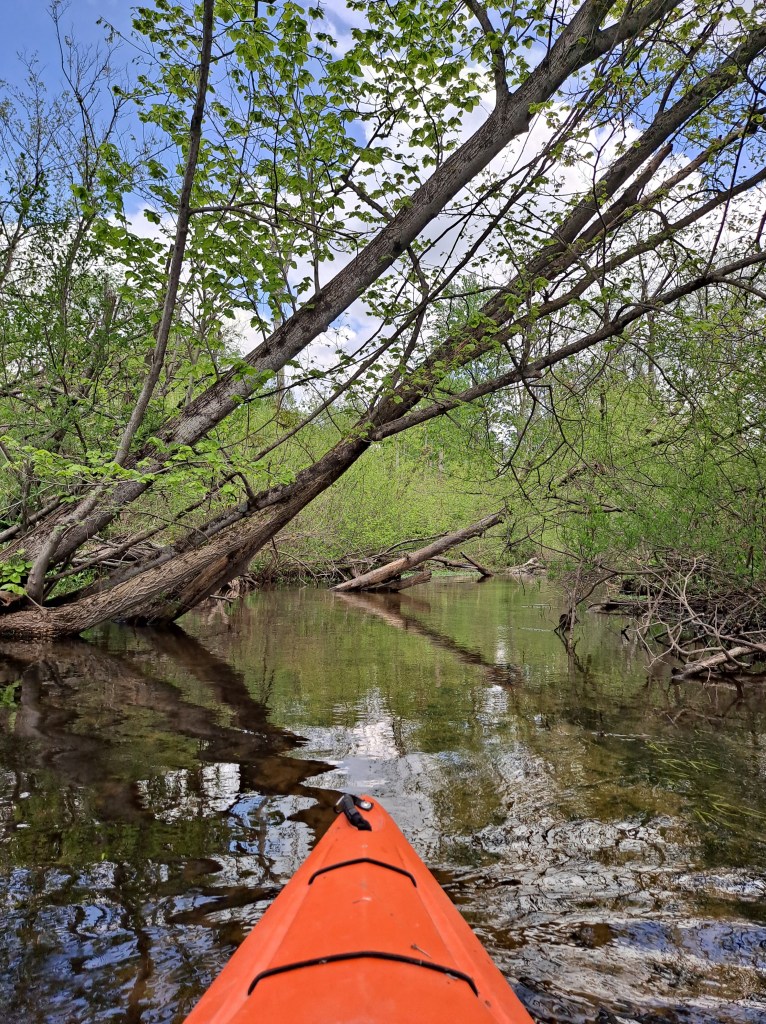
West Lake is my favorite lake of the Three lakes chain because of its wild, remote location. The unnamed creek that takes kayakers from Middle Lake to West Lake meanders through a cattail marsh lined by woods. There was a beaver dam on the creek that had to be portaged. At the time of this writing, in early June 2022, the dam had been removed. Sometimes beavers will rebuild structures. Portaging beaver dams can be a challenge.
Due to the beaver dam removal, the water level on West Lake has dropped significantly, but it’s still a pleasure to paddle.
A small, unnamed creek flows into West Lake. It’s fun to explore, but I found it difficult to paddle due to shallow water, mud, and old beaver dams. It was easier to paddle the creek when the beaver dam in the channel was still in place. It’s still worth checking out.
Three Lakes is one of the best kayaking destinations in Kalamazoo County. Once you visit its scenic waters, I know you’ll agree!
I revisited the Three lakes chain in July of 2025. Beavers had bulit two dams on the creek between the middle lake and the west lake. Someone had removed a small part of each dam, but the two dams had to be portaged.
At the time of this latest visit, water levels had changed due to the beaver dams. The middle lake was lower and the west lake was higher. I was unable to paddle some of the small streams that flow into the middle lake.
The portaging and the changed water levels didn’t detract from my enjoyment of the lakes. The Three Lakes chain is still a cool waterway to kayak!
On its way from Gull Lake to the Kalamazoo River, Gull Creek flows through Graham Lake, Butterfield Lake, Three Lakes, and Howlandsburg Mill Pond. Only parts of the creek are navigable. All of the lakes can be paddled. This voyage follows Gull Creek through Butterfield and Graham Lakes. While kayaking this waterway, keep your eyes peeled for wildlife. There’s usually mute swans present and at times they can be aggressive. I have seen deer, beaver, muskrats, herons, geese, sandhill cranes, and ducks while paddling this water trail.
Access to Gull Creek is on Greer Road, between 35th Street and 37th Street in Kalamazoo County. The landing and parking are on the side of the road at the Gull Creek bridge.
The trip begins by heading upstream from the bridge. It’s a short paddle from the access at Greer Road to Butterfield Lake.
Butterfield Lake deserves a shoreline cruise.
Head upstream on Gull Creek from the north side of Butterfield Lake. Sometimes, the creek is hard to find due to thick vegetation. From Butterfield Lake to Graham Lake, the creek travels through marshland. There is a rickety footbridge that crosses the creek in the middle of the swamp. You can go under the bridge by slouching way down in your kayak. If you can’t get low enough, you can always portage the bridge, but it’s kind of a pain because of the swampy shoreline. I usually get out of my kayak directly onto the bridge, pass my kayak under the bridge, and lower myself into my boat. I find that this process is rather awkward, but it works.
After negotiating the bridge, continue upstream.
Approaching Graham Lake.
I recommend exploring the shoreline of Graham Lake. Big carp can be seen in the shallows along the shore.
You can kayak upstream on Gull Creek from Graham Lake for a short distance, but fallen trees will block your way.
The creek is shallow here with a hard sand bottom, so it’s a great spot to get out of your kayak and take a break.
Head back downstream to Graham Lake.
Entering Graham Lake
Paddle over to Gull Creek and head downstream.
You’ll have to contend with that bridge again.
Head down the creek to Butterfield Lake. Cross the lake and paddle down the creek to the bridge and the landing.
Entering Gull Creek from Butterfield Lake.
The scenery and remote feel make this trip one of the best in Kalamazoo County!