KALAMAZOO RIVER, ALBION TO MARSHALL, CALHOUN COUNTY

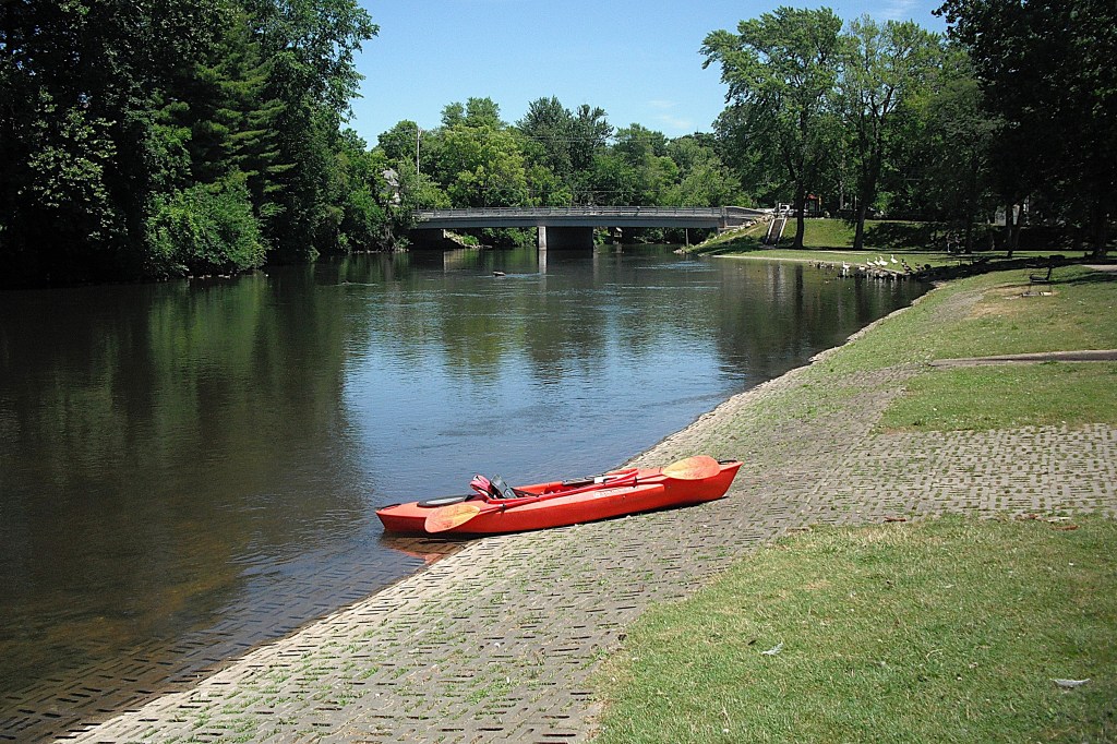
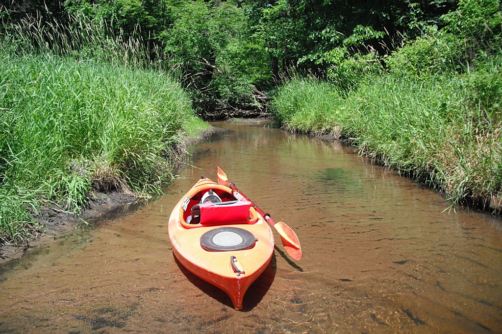
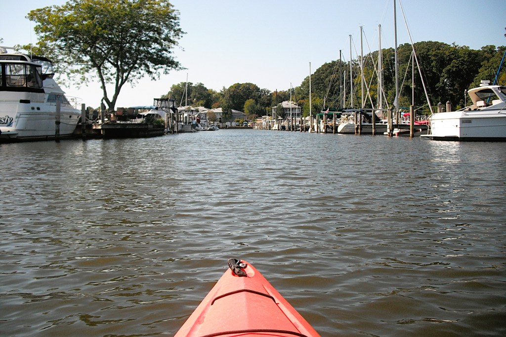
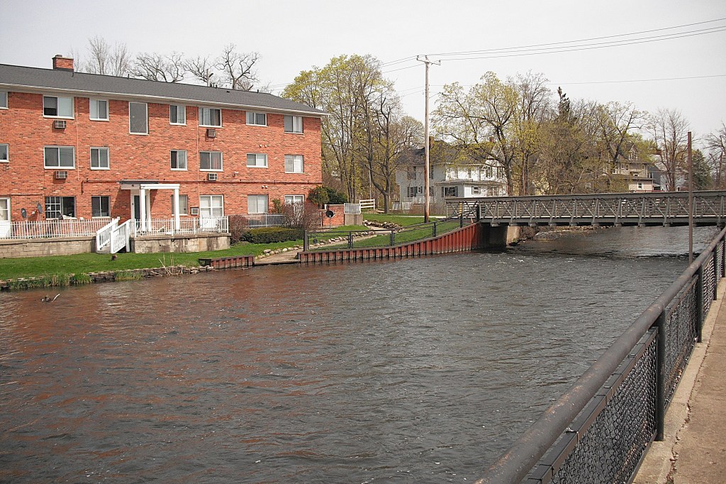
On a early spring scouting trip, I couldn’t find a really good Kalamazoo River boat landing in Albion. The best one looked like the Porter Street Landing. There is a public parking lot on the north side of Erie Street, east of Superior Street. Park on the north end of the lot by the Farmer’s Market, next to a flight of concrete steps. At the bottom of the steps, head east one hundred yards to a pedestrian bridge across the river. After crossing the bridge, there is a sidewalk that dead-ends at the edge of the river, in the backyard of the Riverview Apartments.

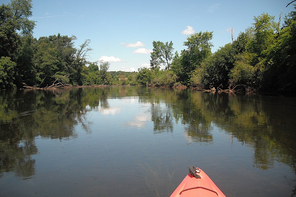
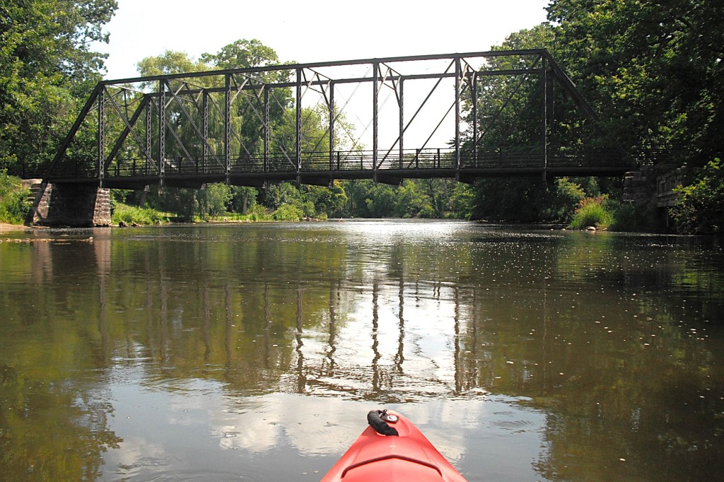
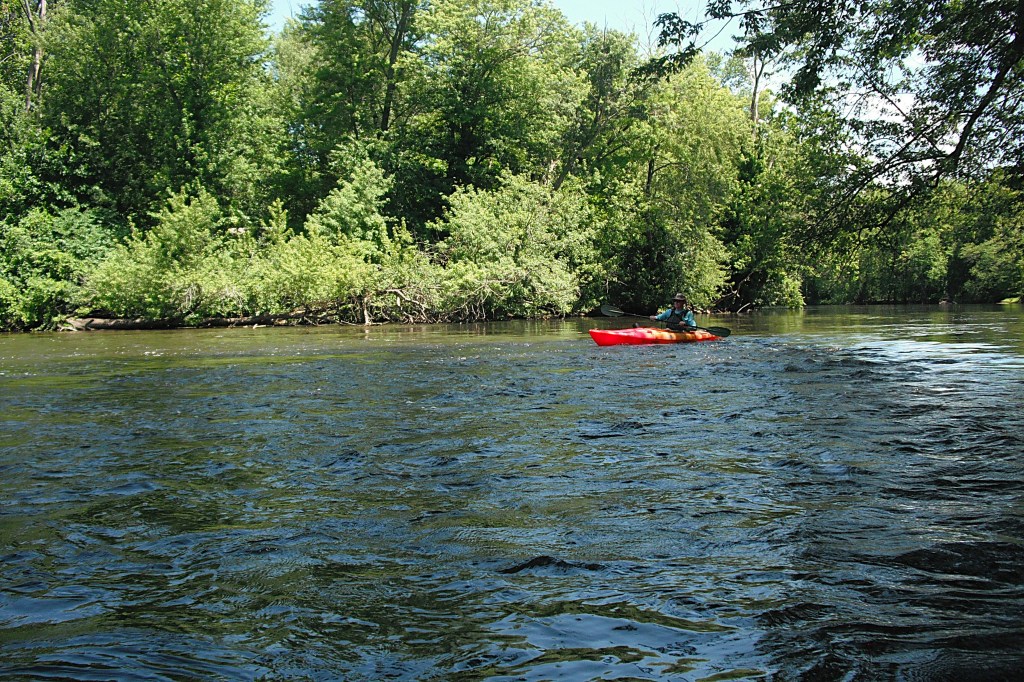
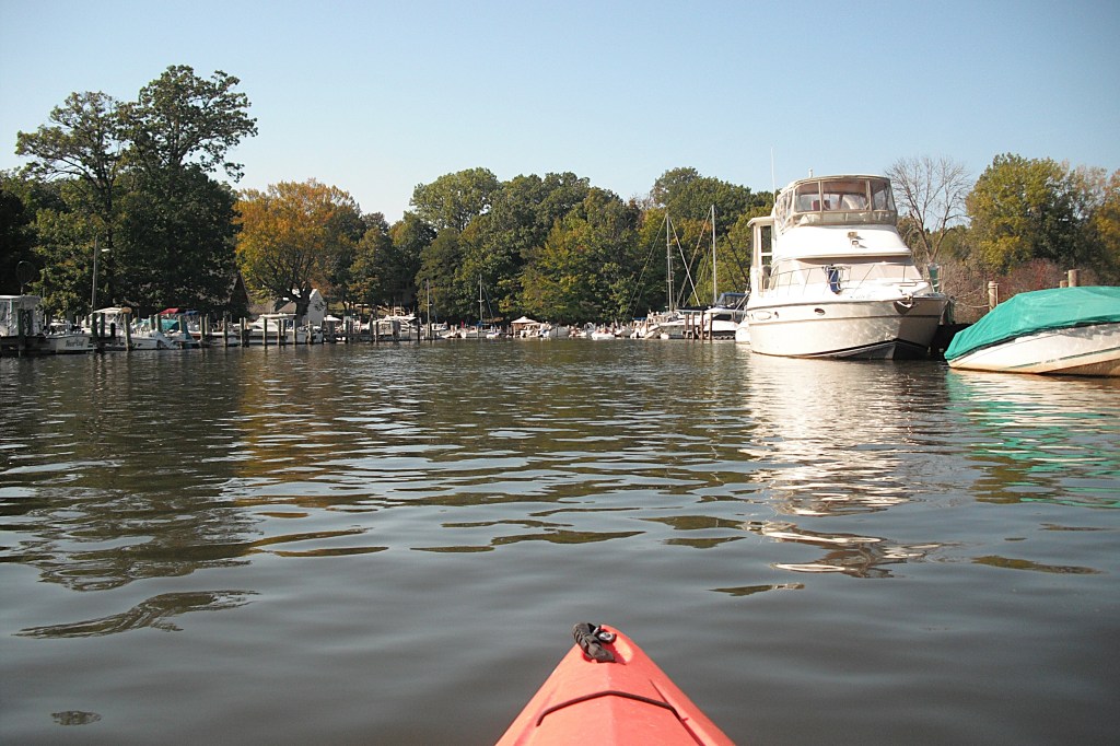
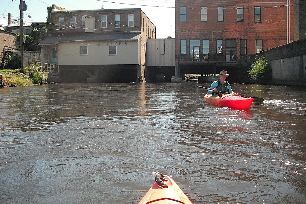
My friend Dan always enjoys a good river trip, so we teamed up for a July trip on the Kalamazoo. It’s a pleasant paddle through the city of Albion. The Cass Street bridge is just downstream from the Porter Street Landing.

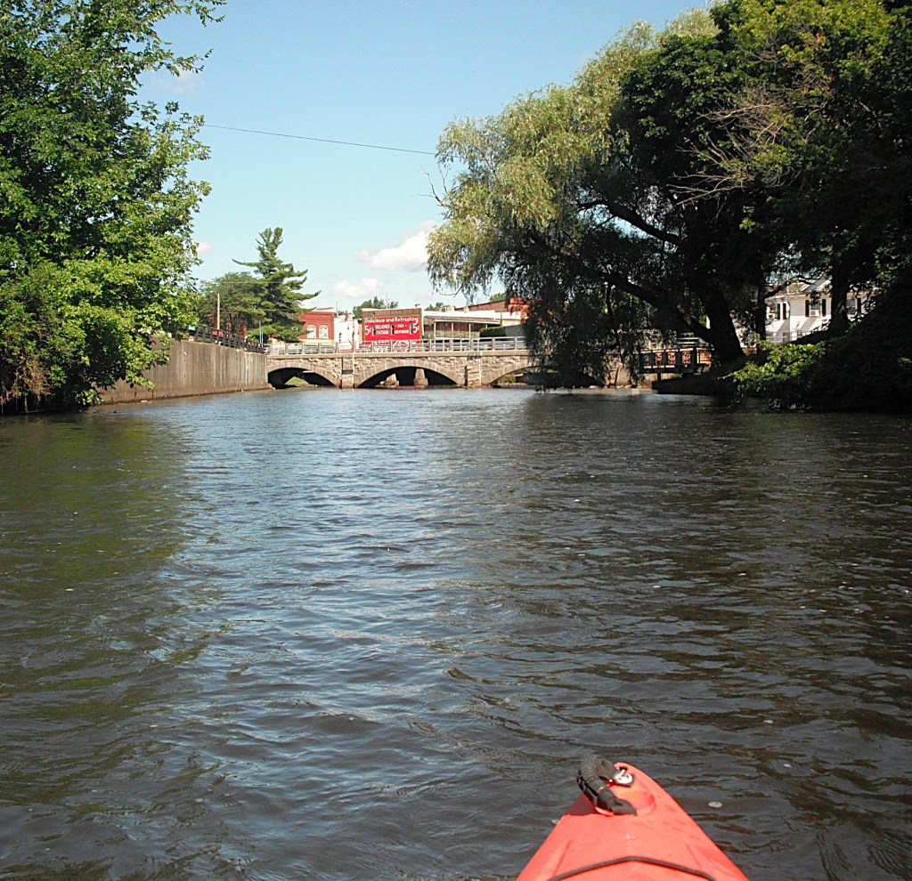
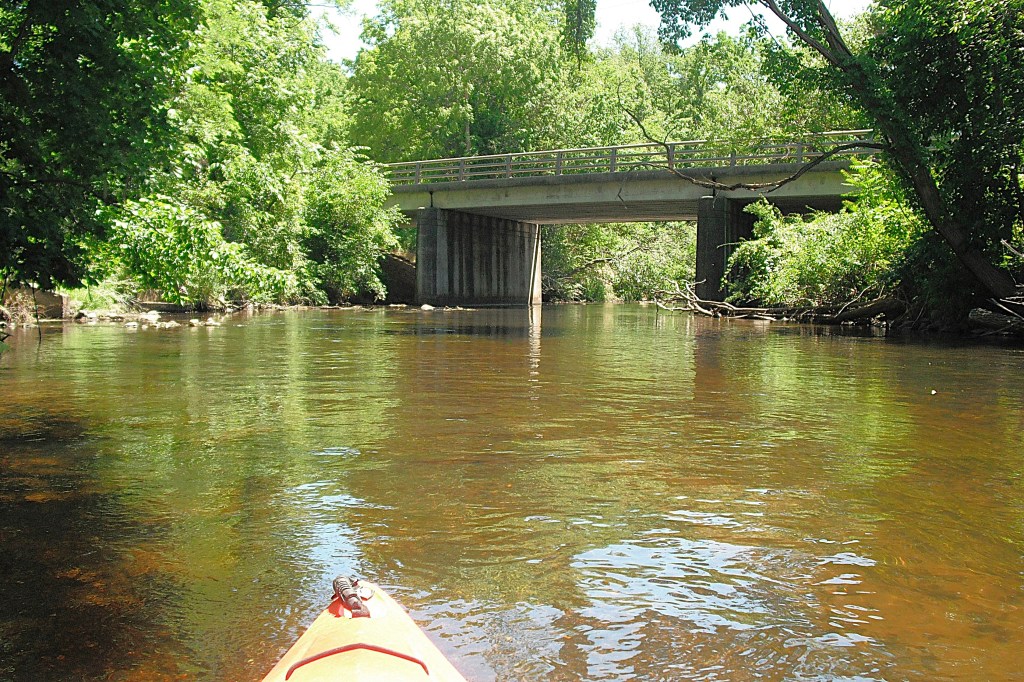
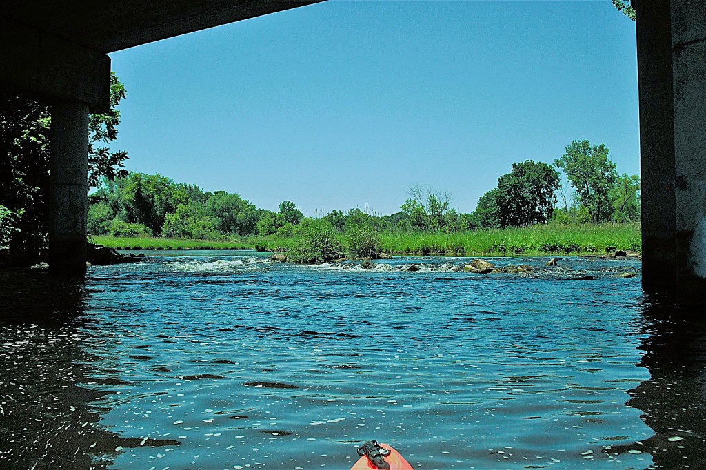
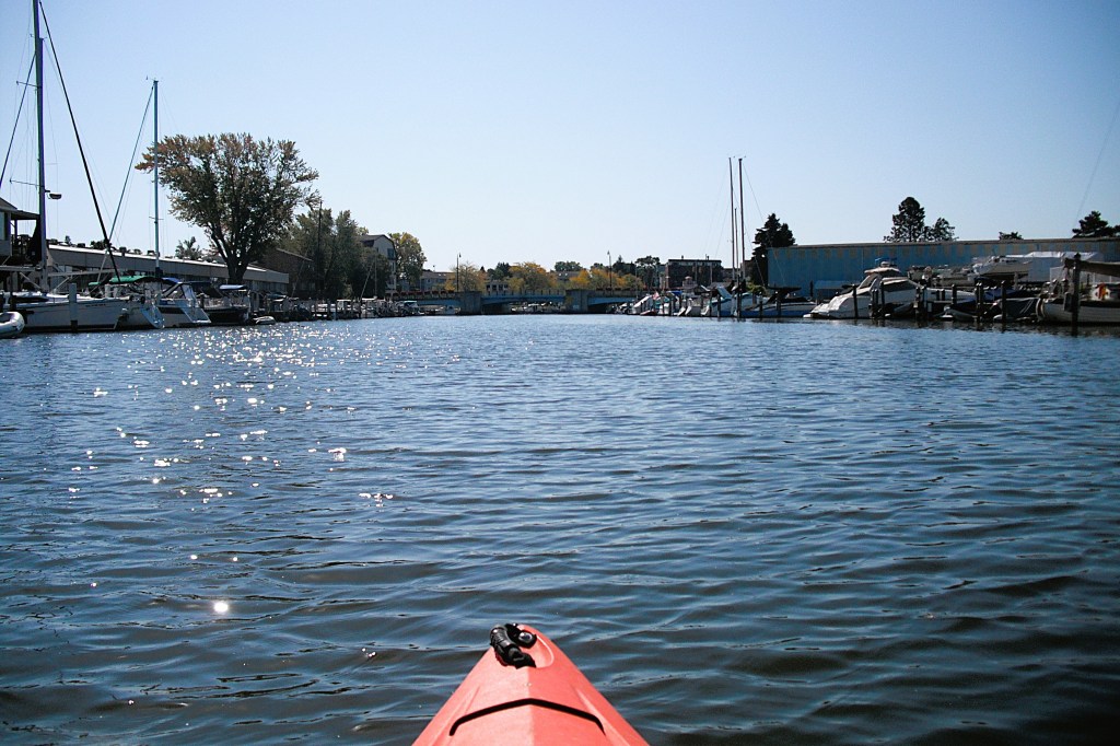
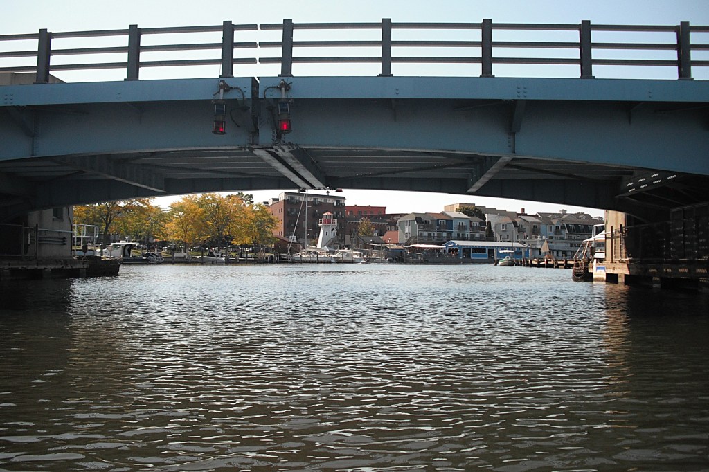
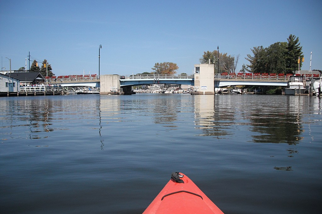
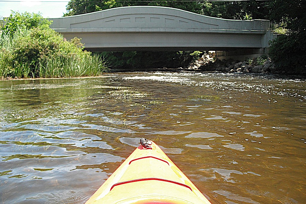
The rather large Superior Street bridge is next. The road and several large buildings occupy the bridge deck. Kayaking under the bridge feels like going through a large, dark cavern.

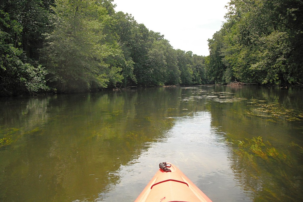
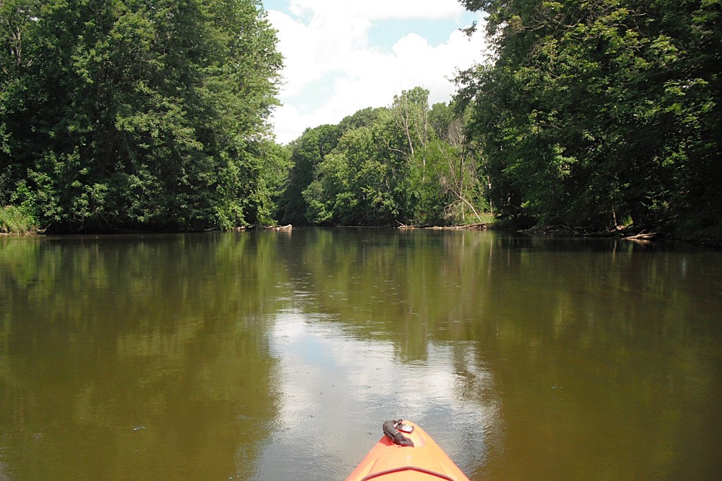
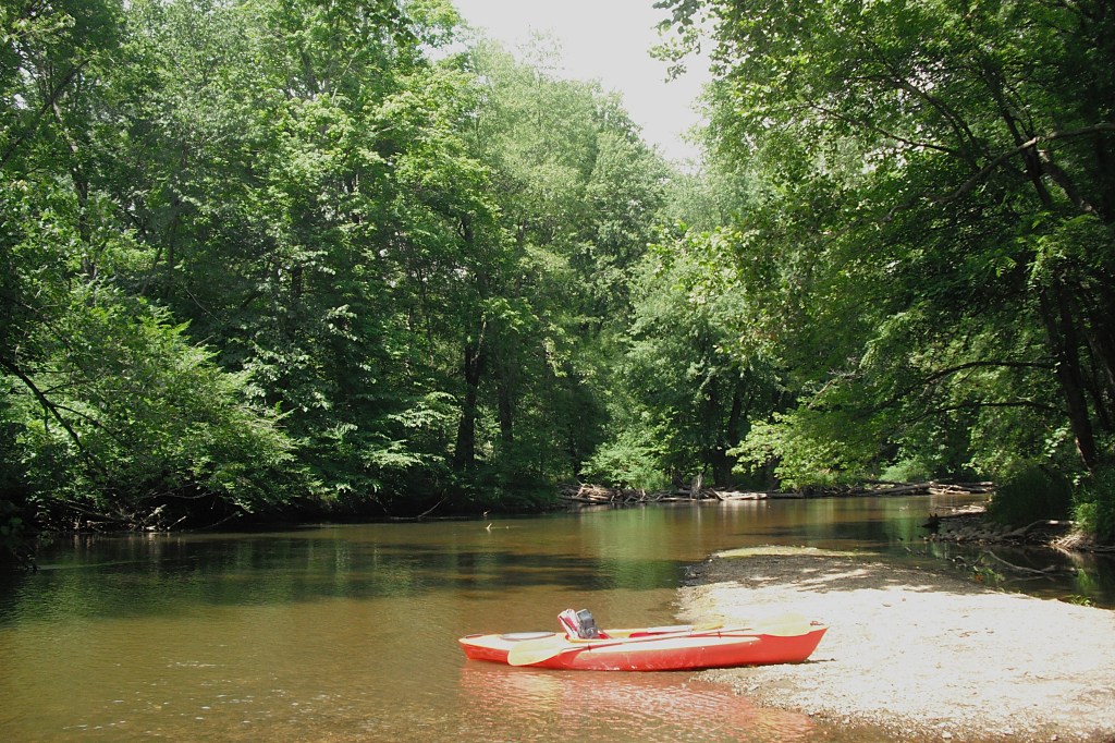
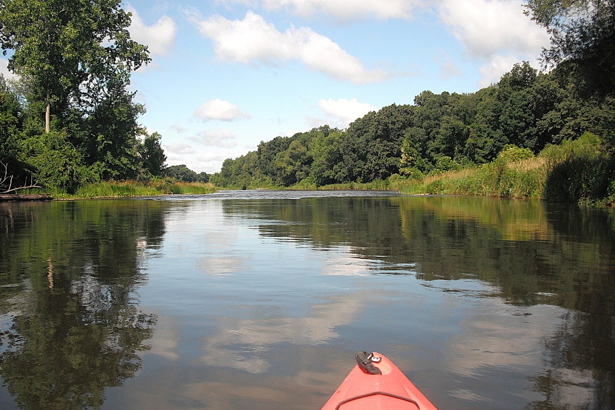
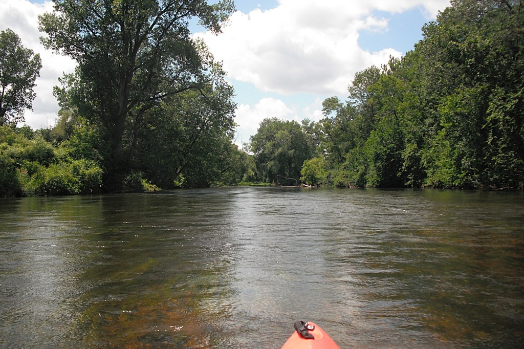
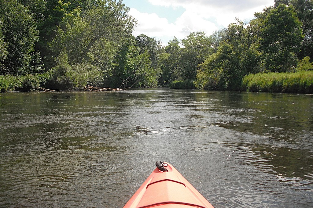
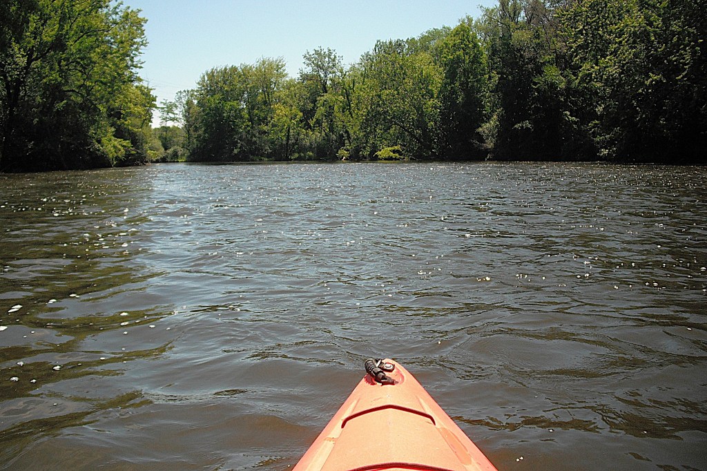
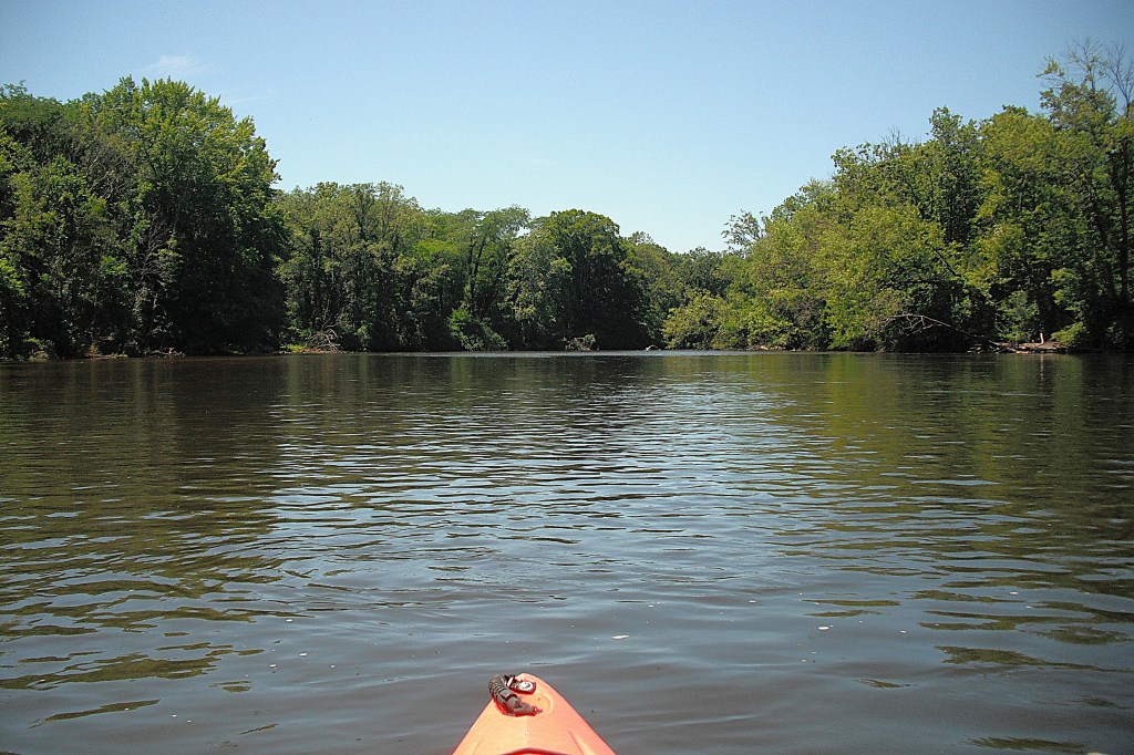
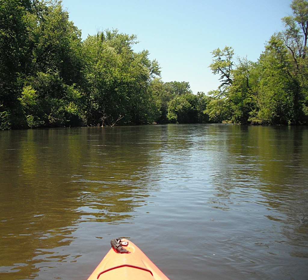
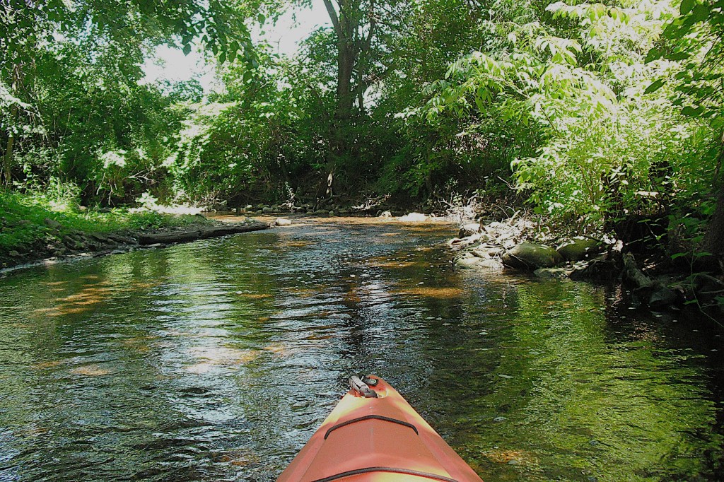
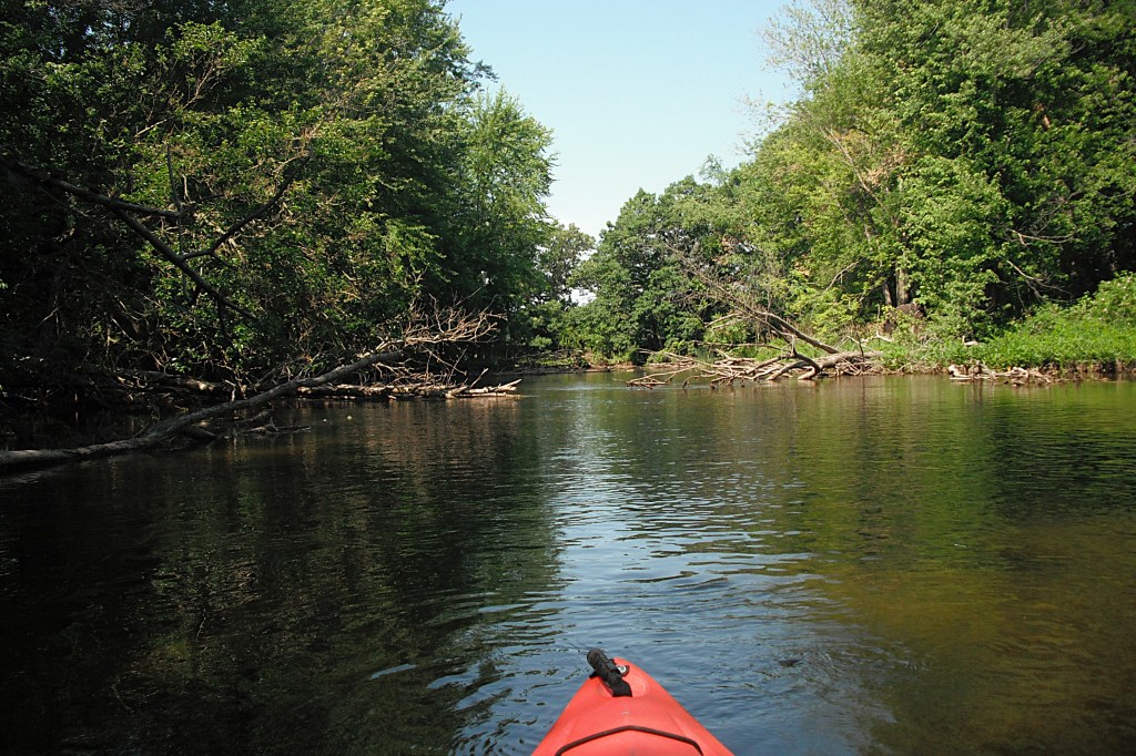
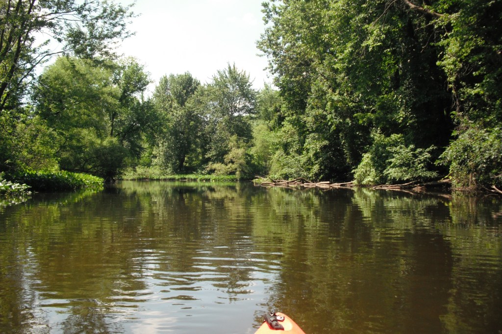
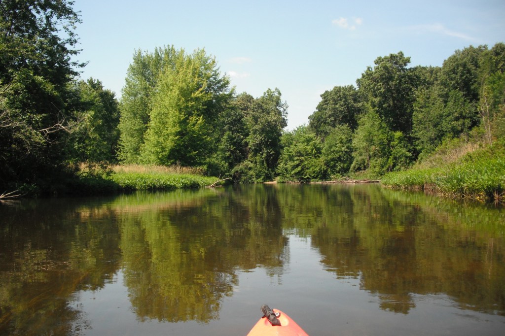
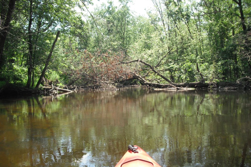
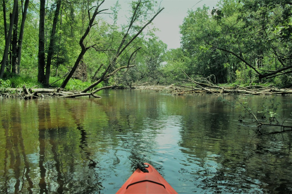
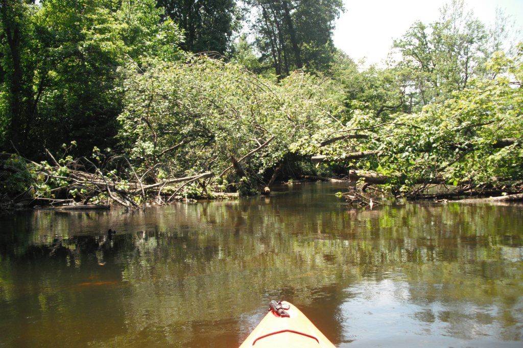
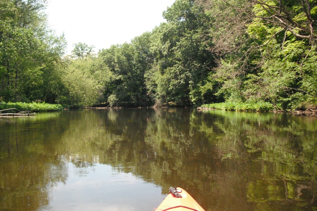
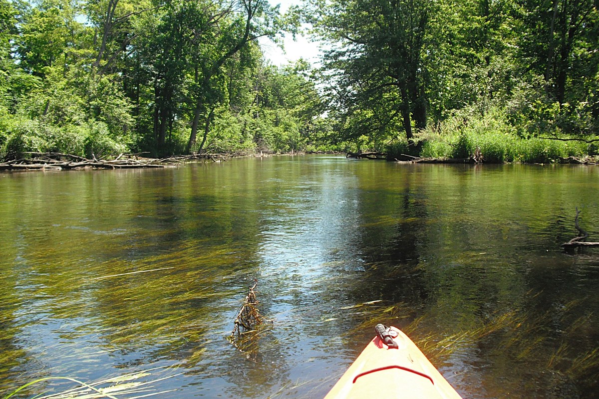
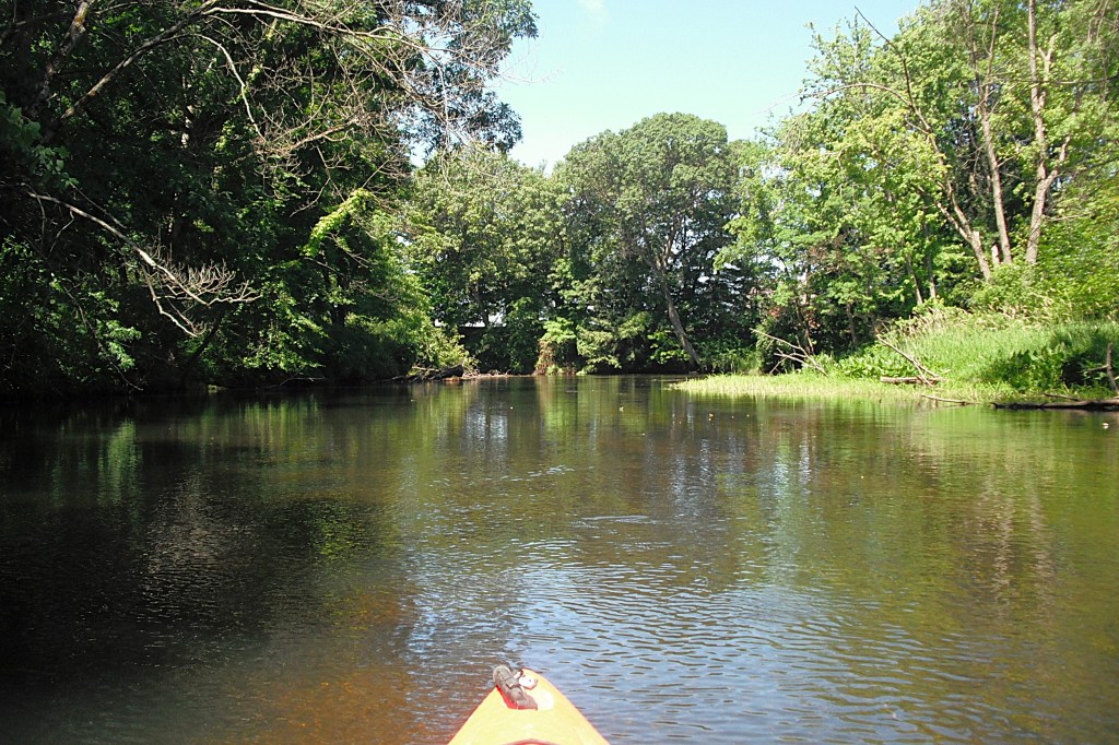
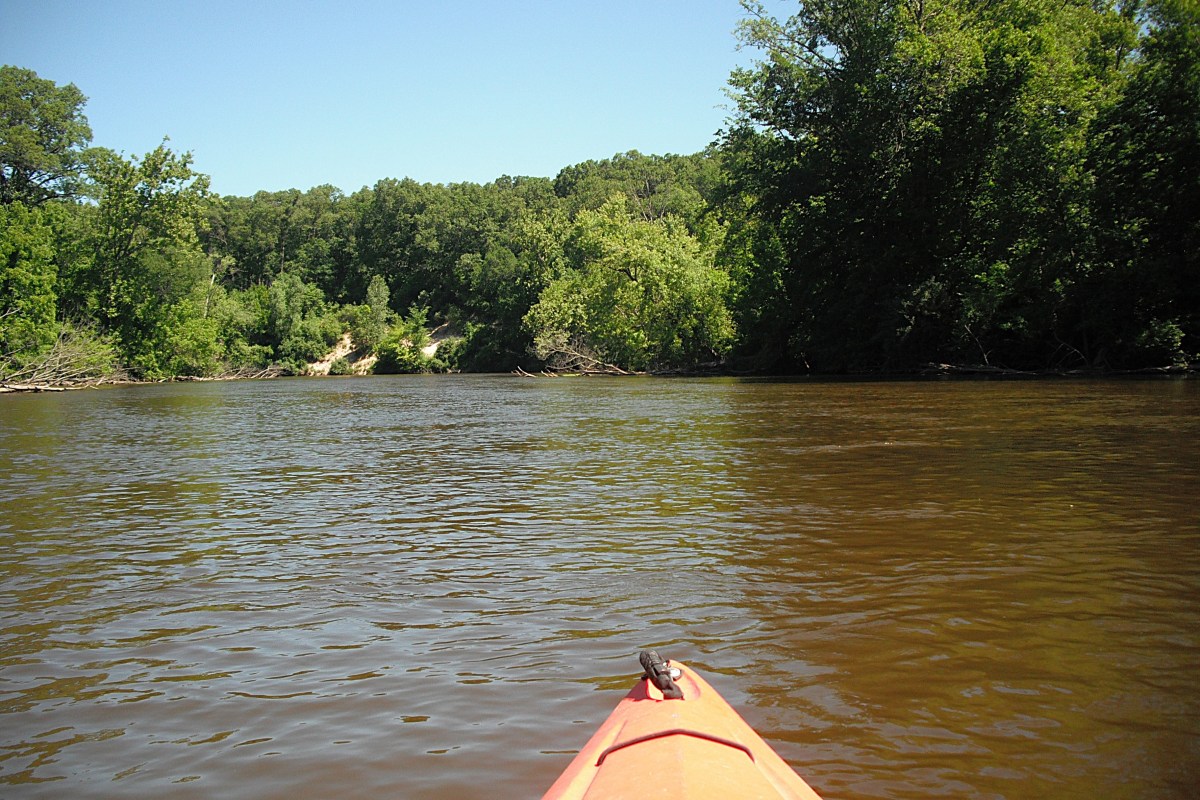
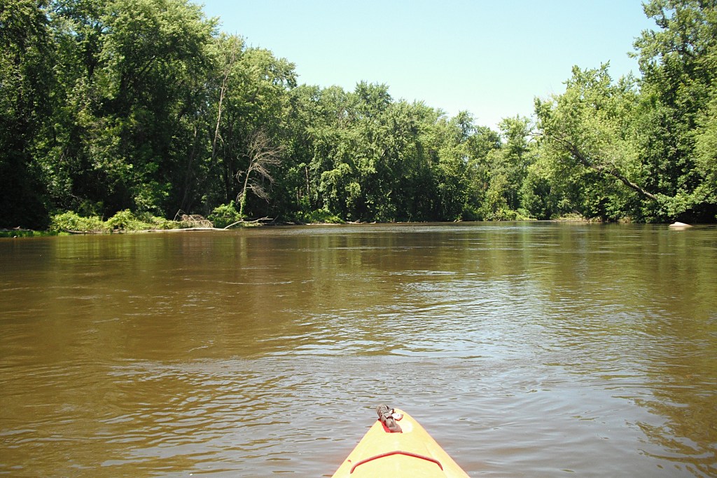
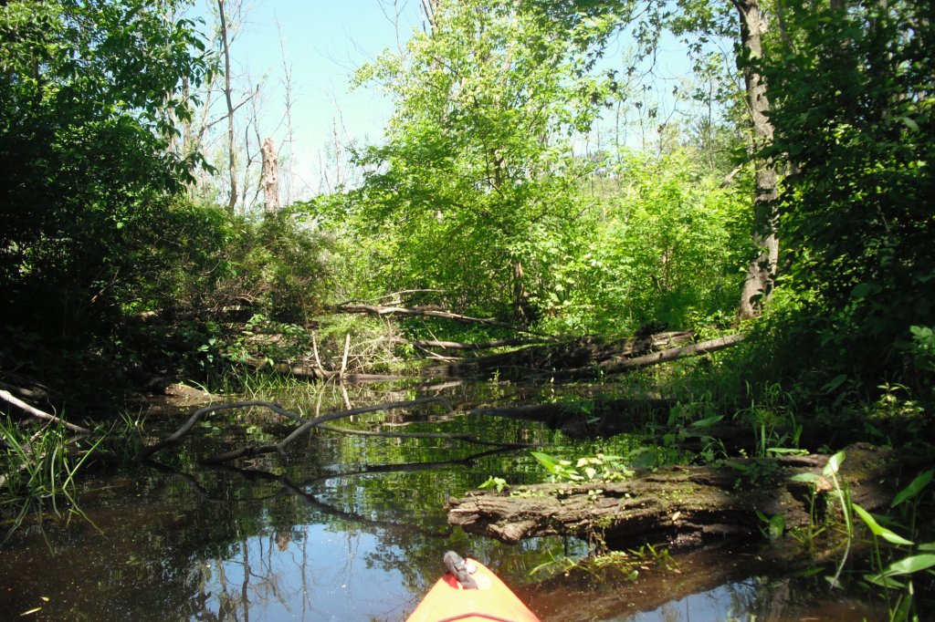
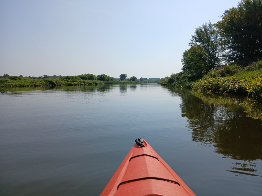
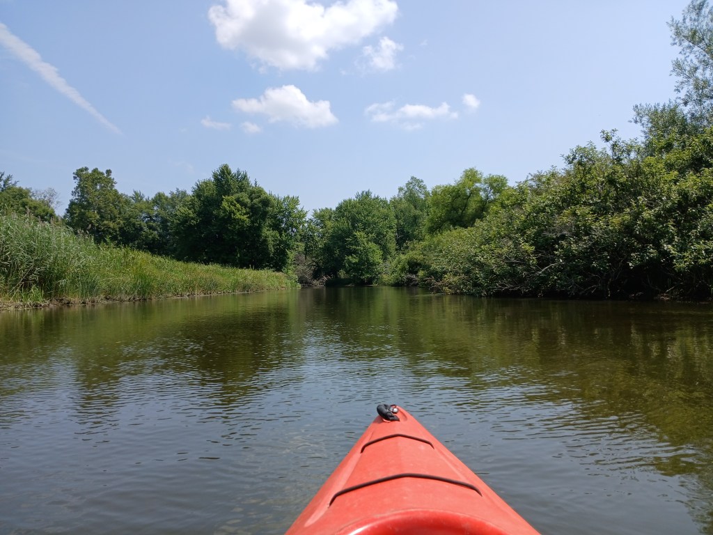
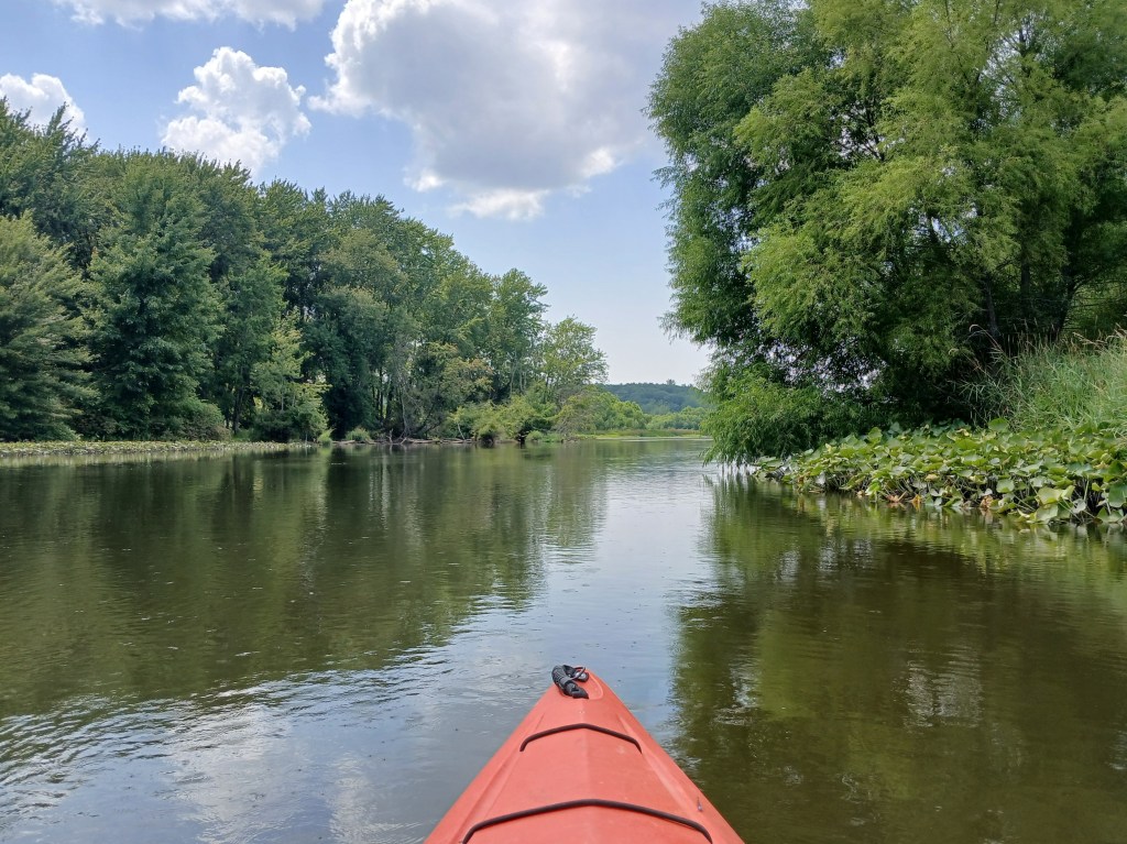
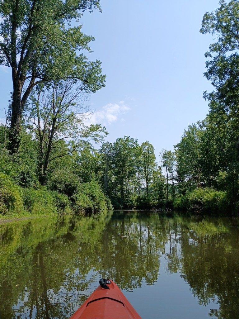
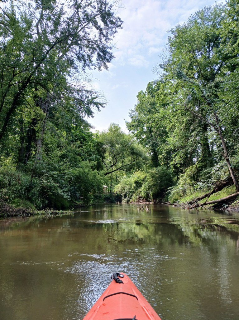
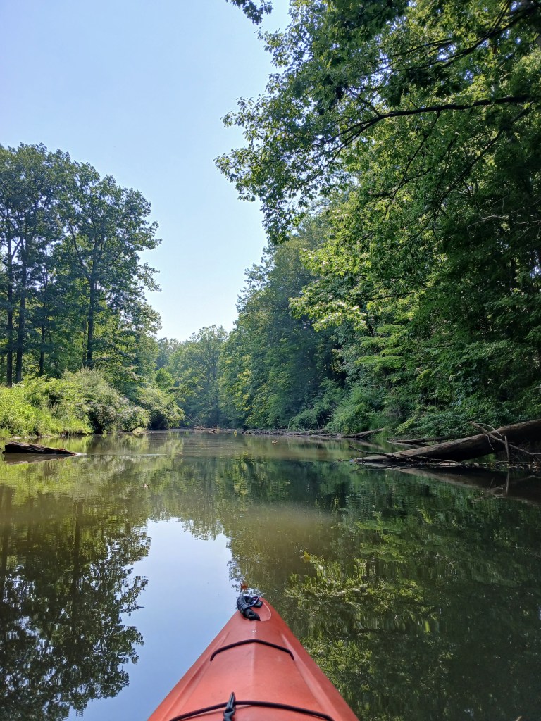
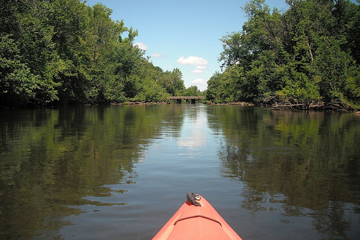
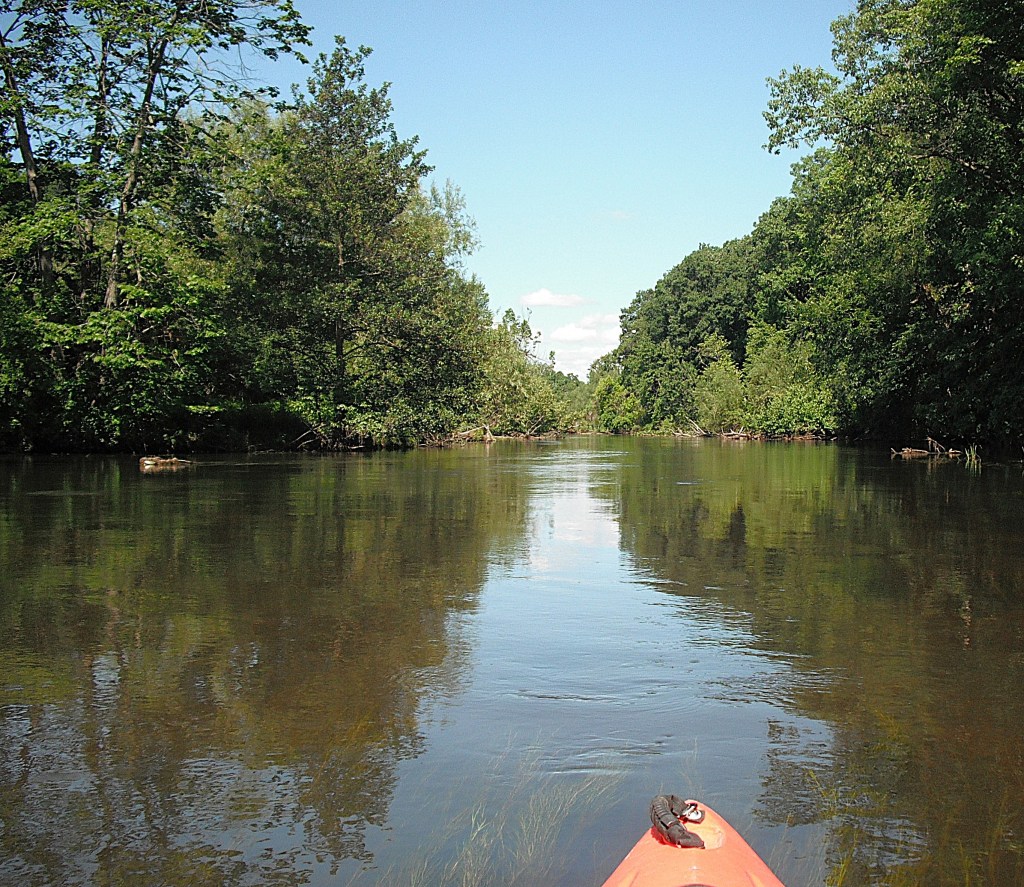
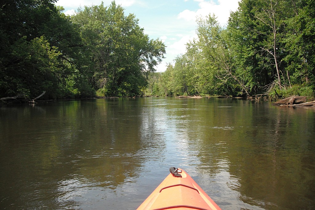
After leaving the Albion city limits, the river takes on a rural character that lasts until the end of the trip in Marshall. This voyage is over twelve miles long, so plan accordingly.

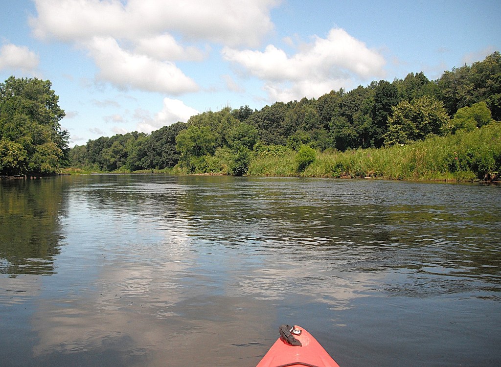
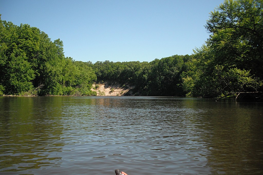
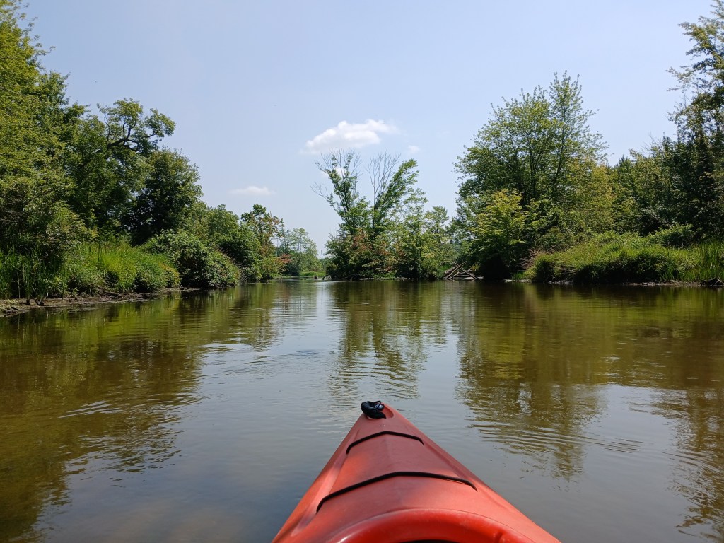
The river makes a long, gently curving loop to the north, intersecting B Drive North twice.

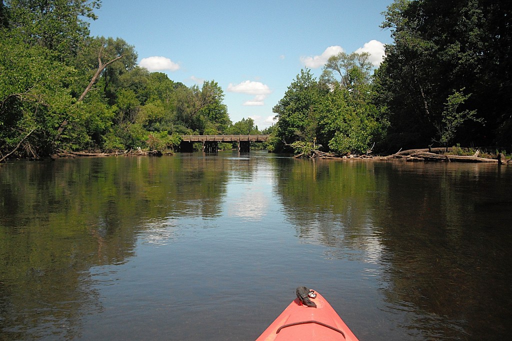
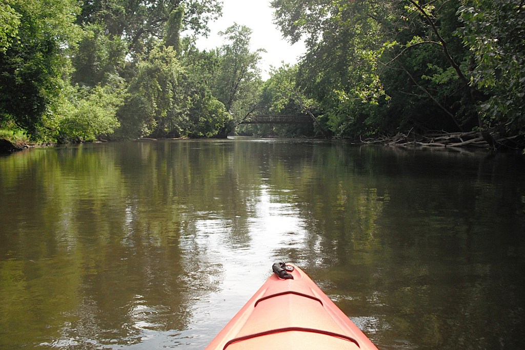
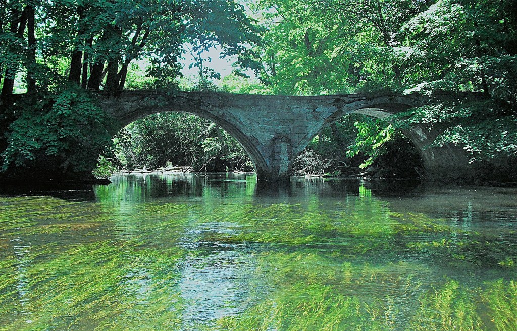
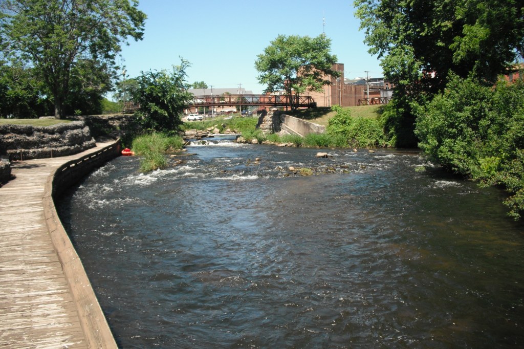
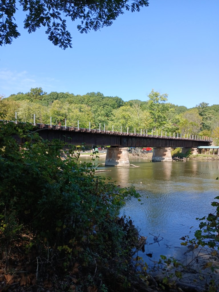
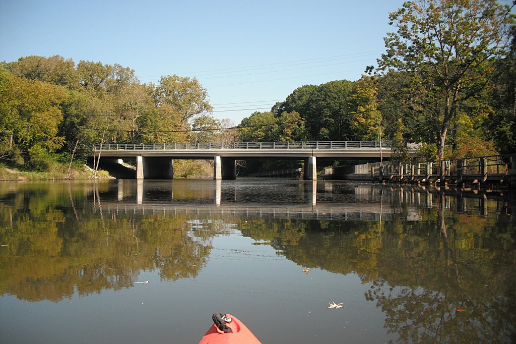
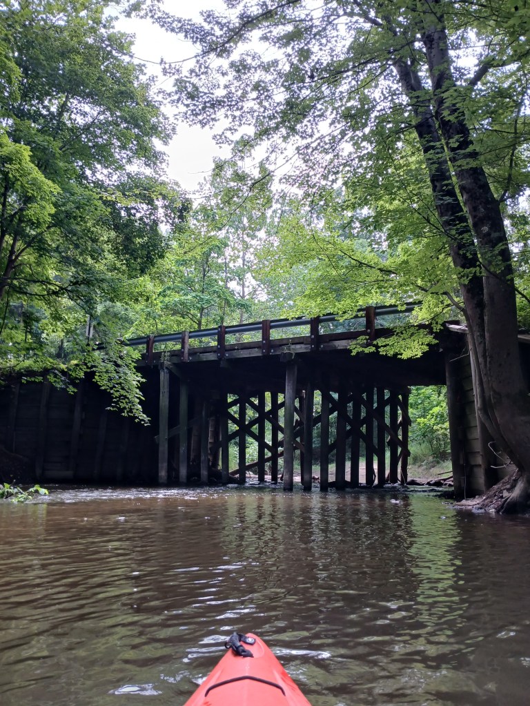
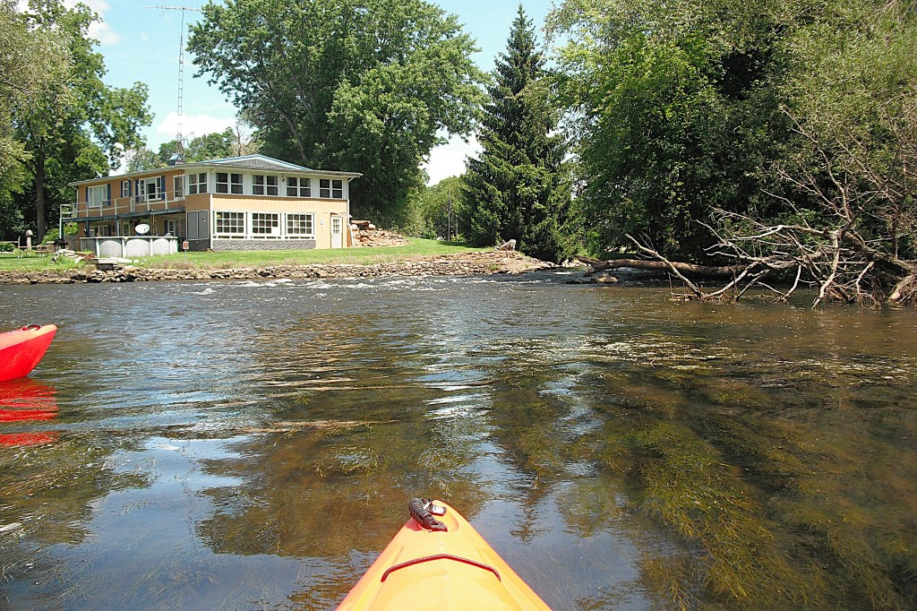
The community of Marengo is on the north bank of the Kalamazoo, near the middle of the loop. The Broad Street bridge spans the river at Marengo.

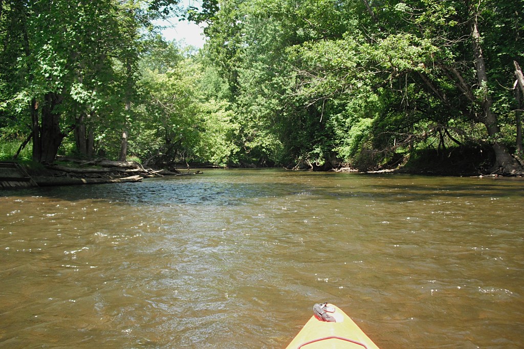
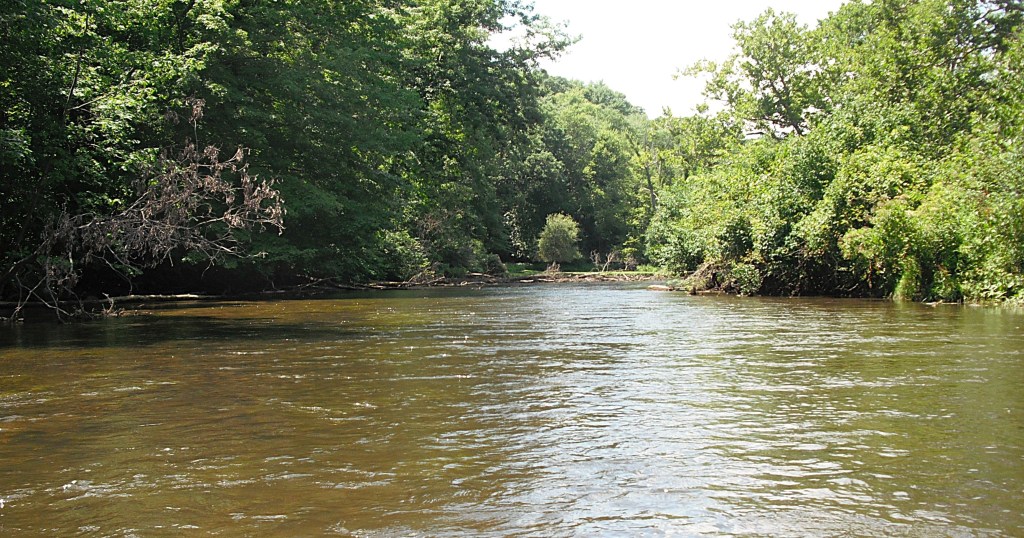
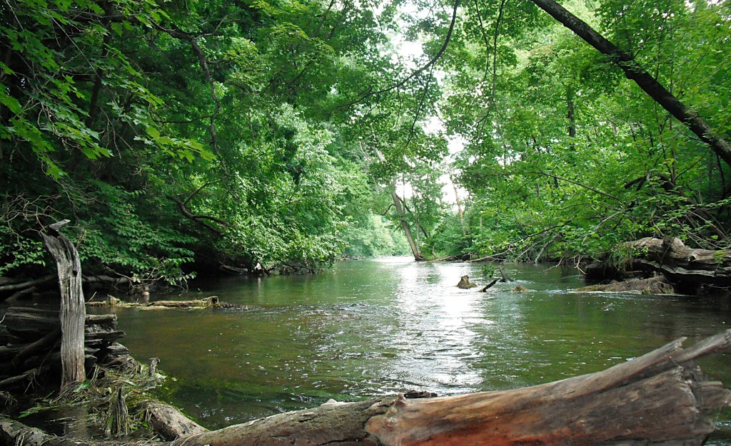
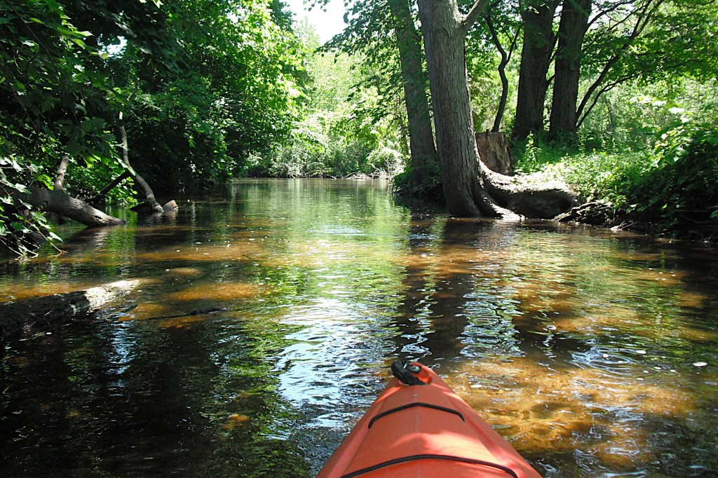
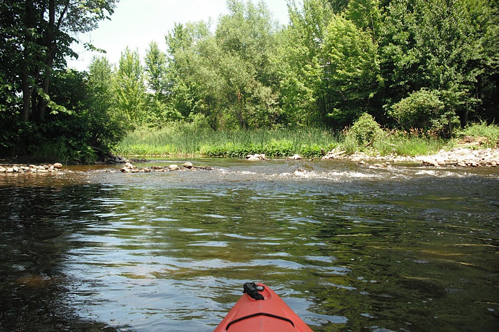
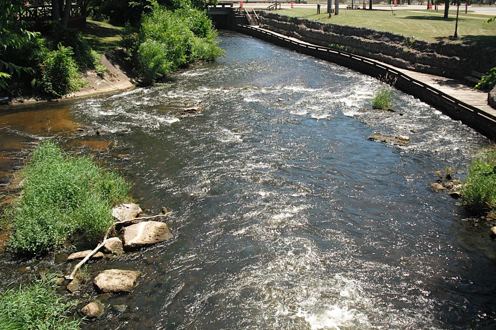
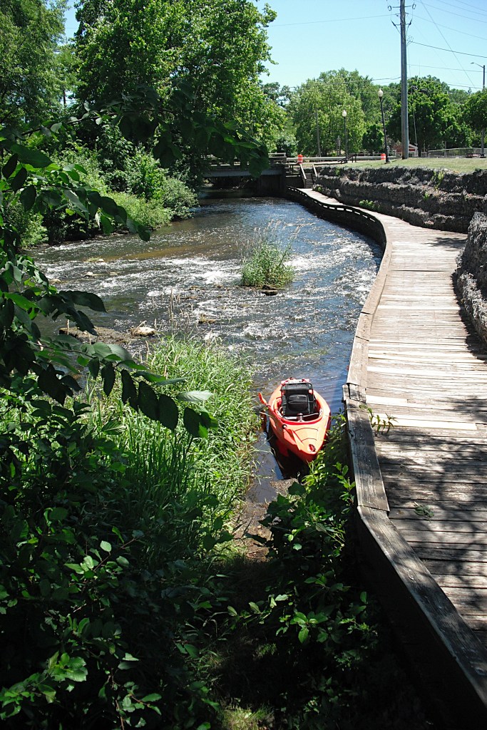
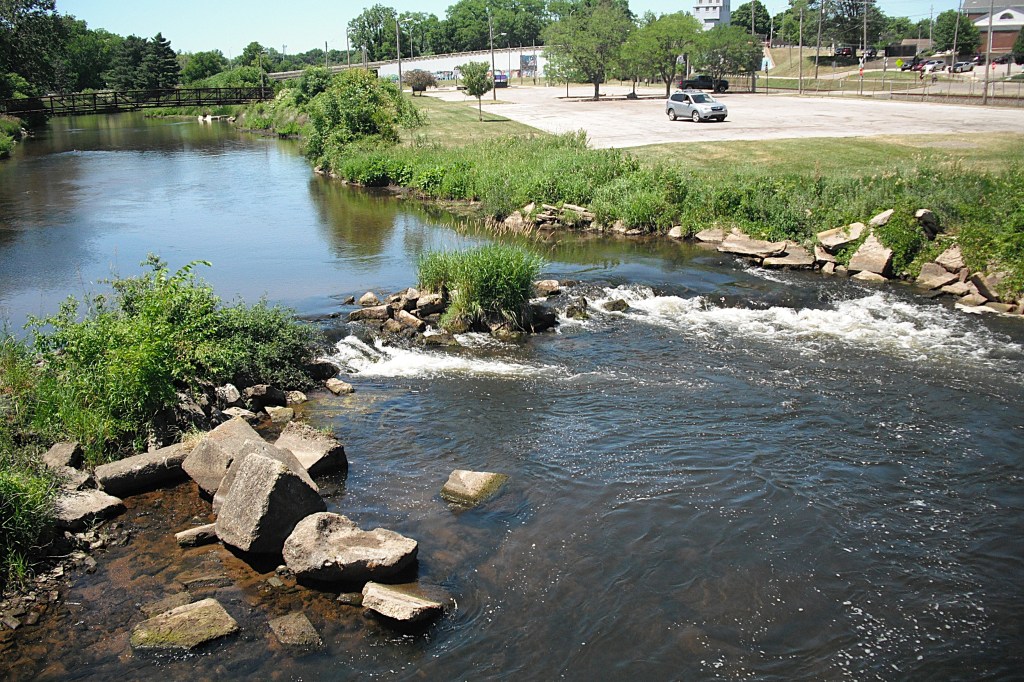
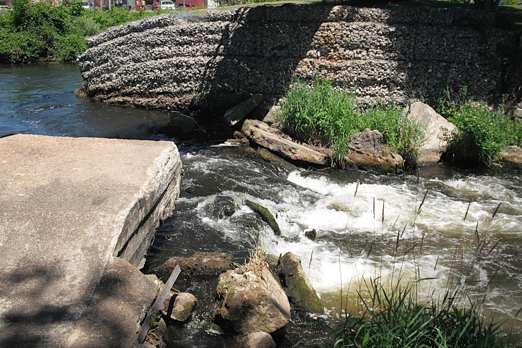
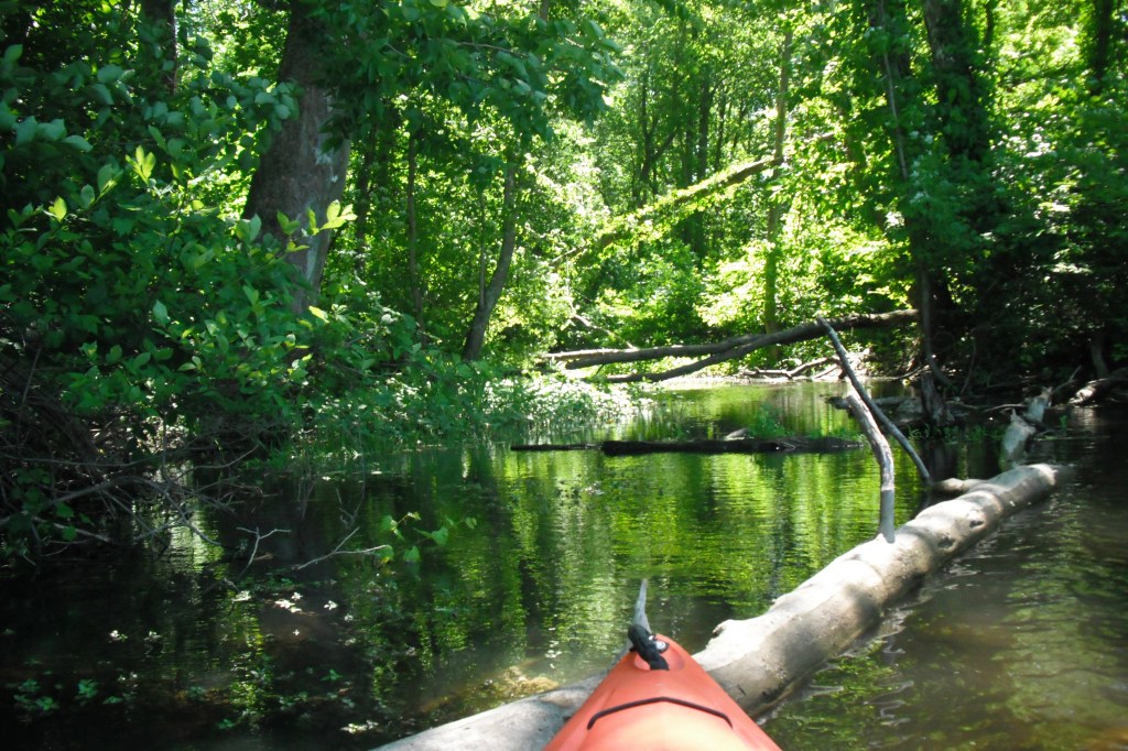
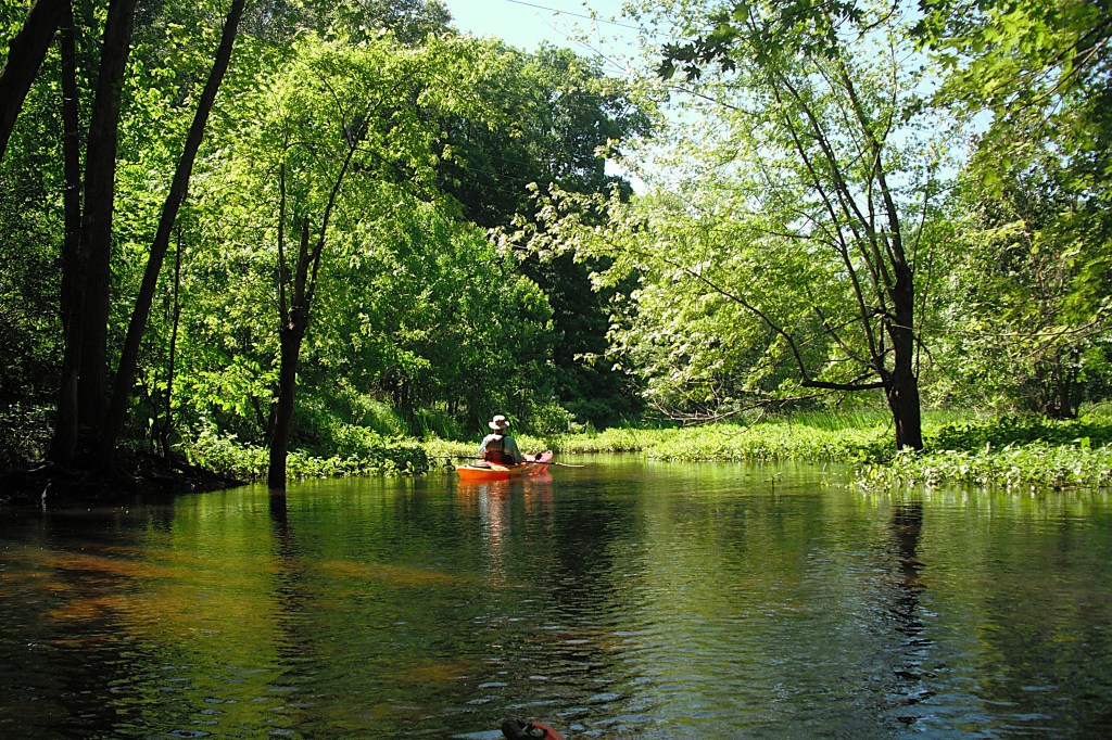
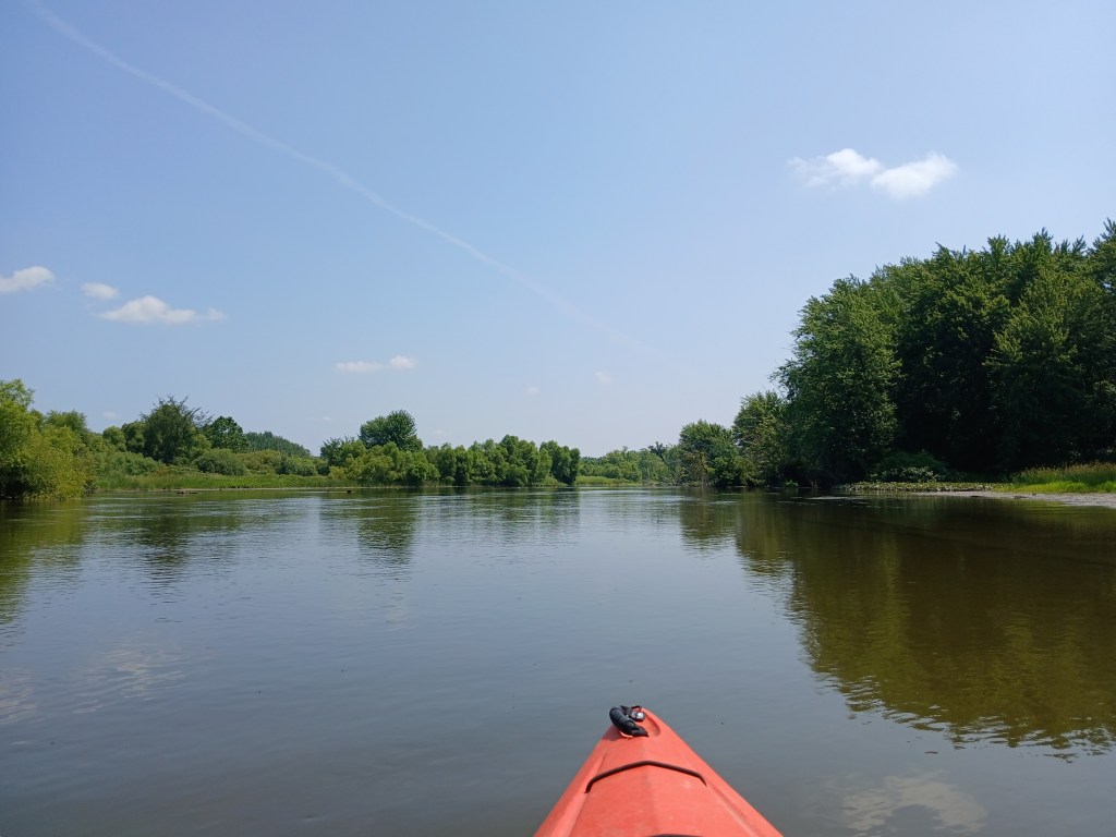
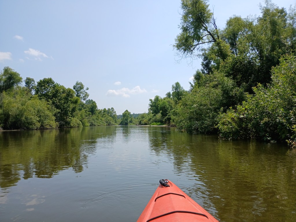
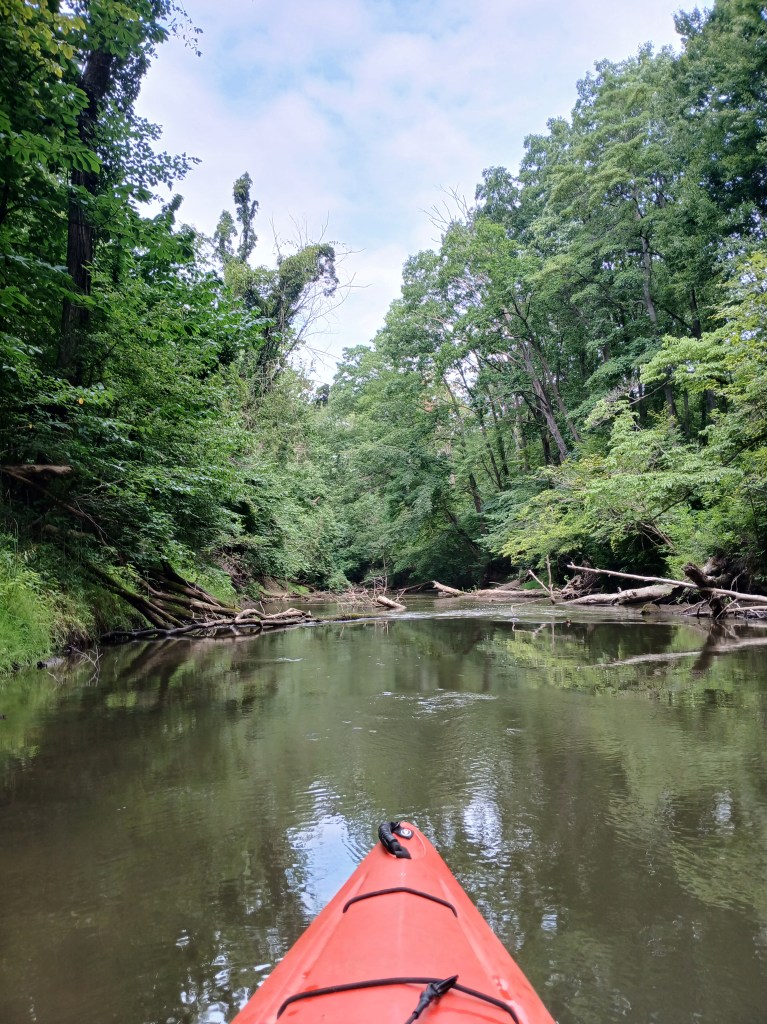
Of special interest to kayakers: There are three separate sets of Class I rapids on the north loop of the river. You can hear the rapids before you can see them. From the photos, the rapids don’t appear to be difficult. Looks can be deceiving. Always paddle within your limits and experience level.

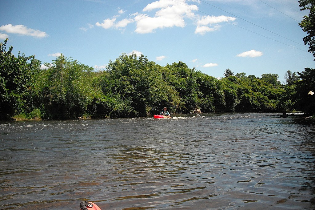
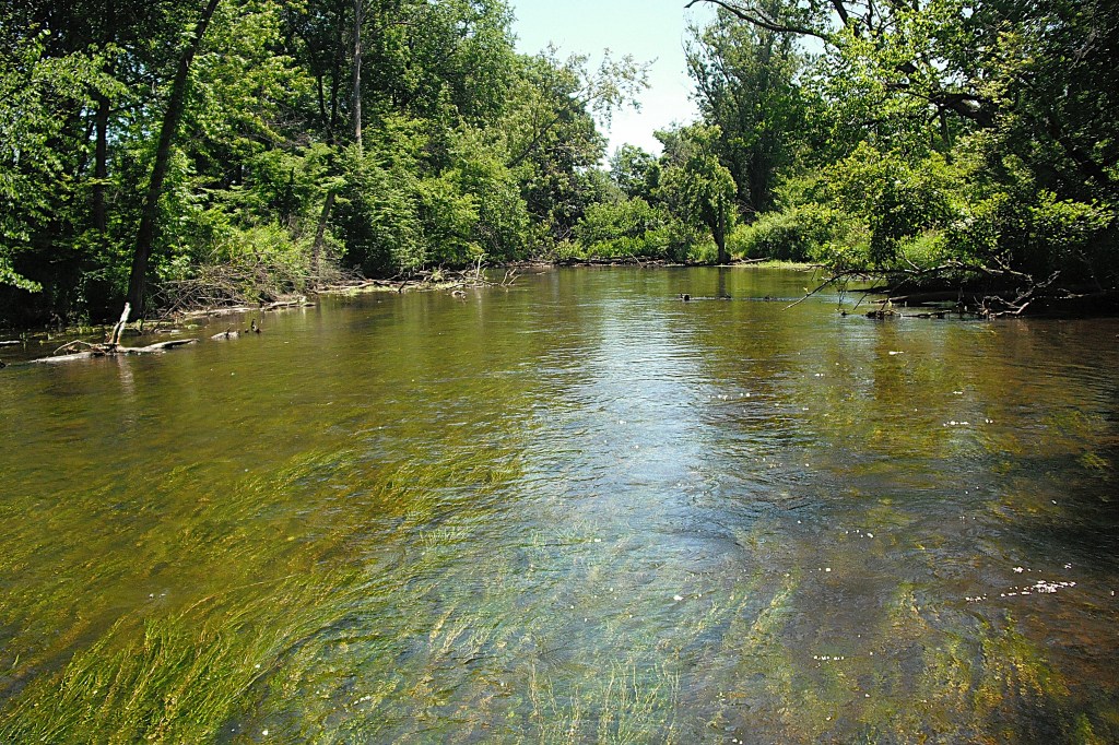
The last set of rapids was formed when a dam washed out.

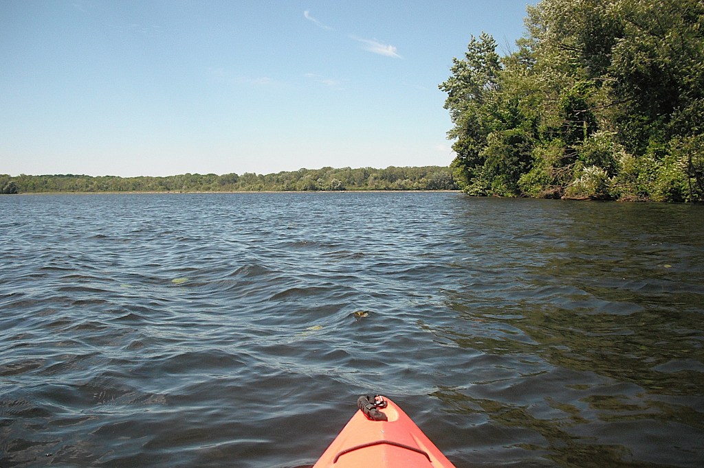
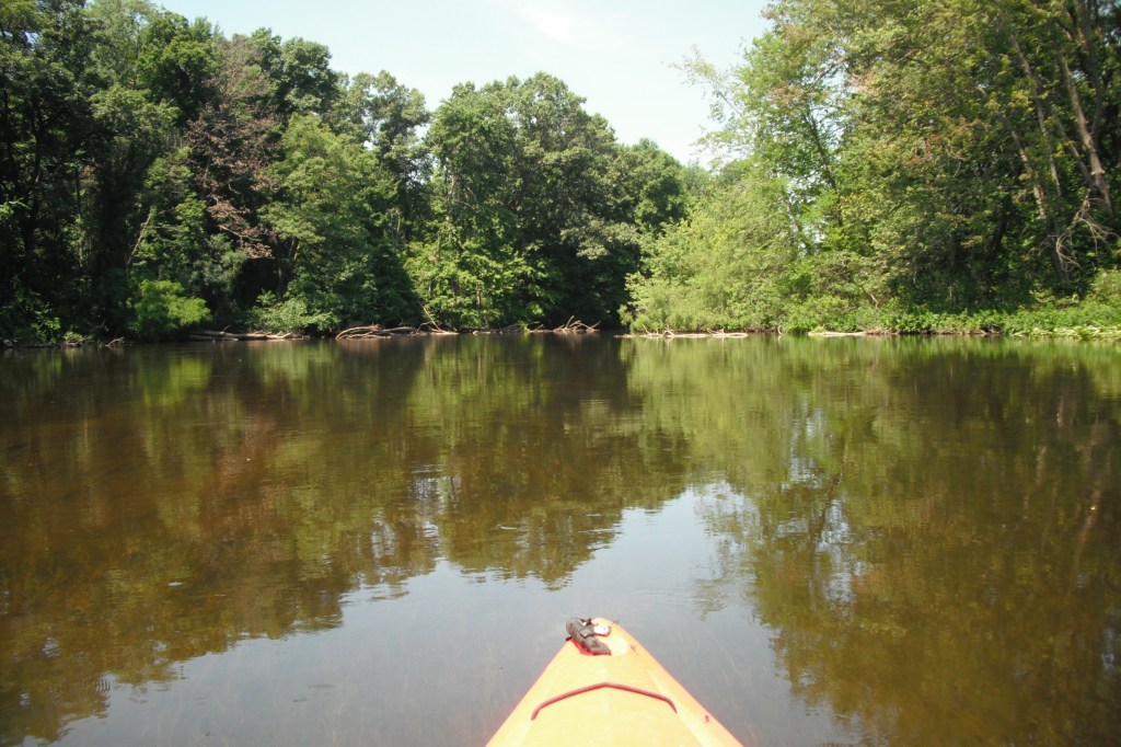
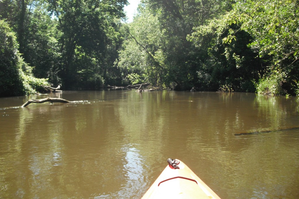
About two miles downstream from the second B Drive North bridge, the river begins to widen and the current slows to a crawl.

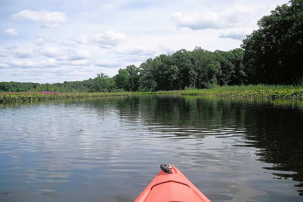
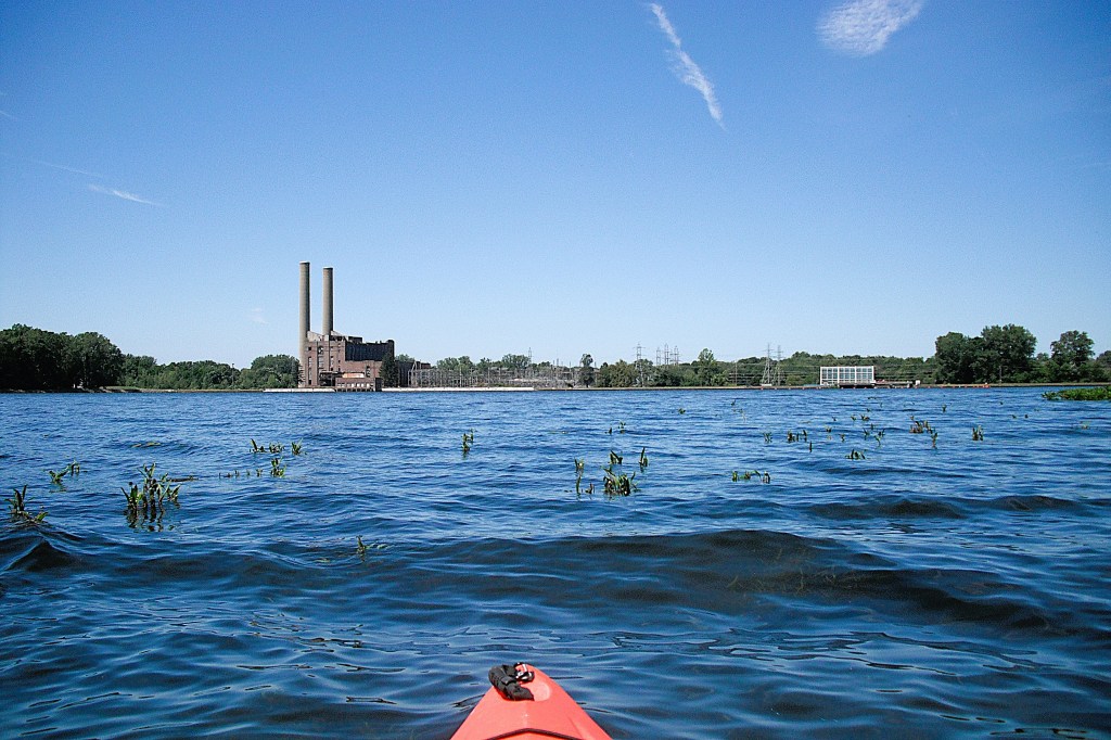
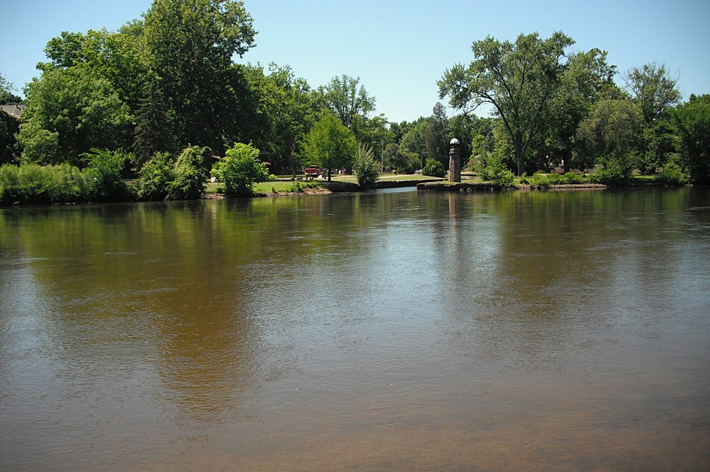
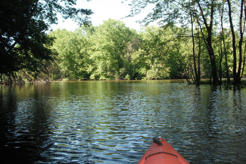
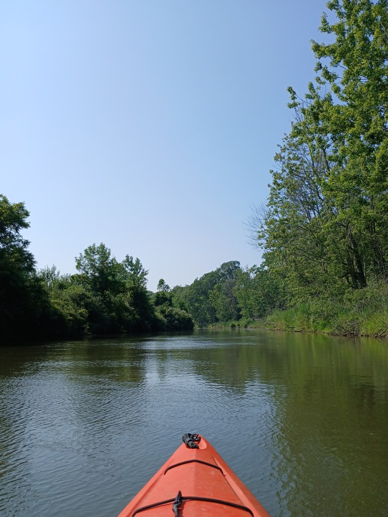
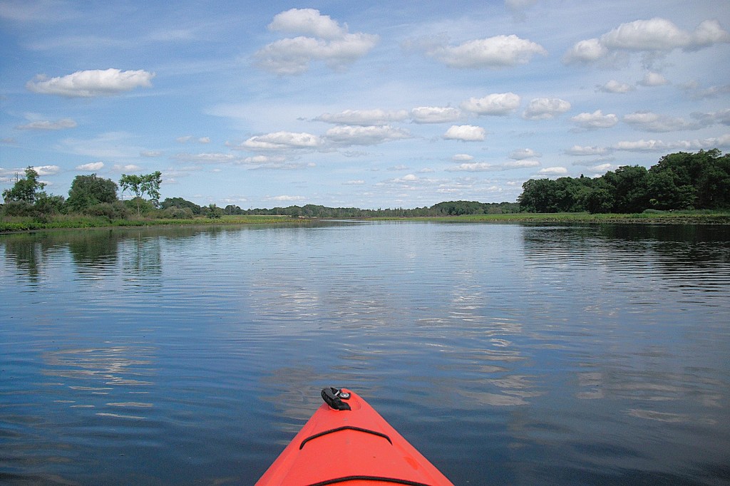
The river gradually transitions to a lake, formed by the Marshall Dam. During the final four miles of the trip, there is no current to speak of. This final stretch to the landing can be tiring.

On the south shore of the west end of the lake, near the dam, is Stuarts Landing Park. Don’t go there. The boat landing is terrible. The restrooms are dark and dirty with no T.P. or door locks. If you’re desperate, It’ll do.

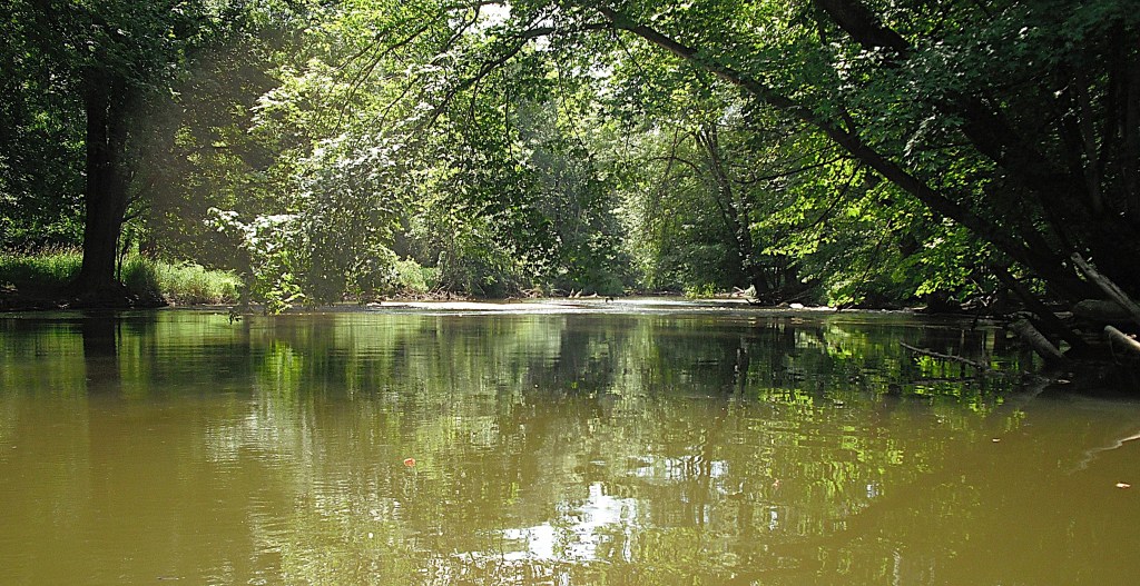
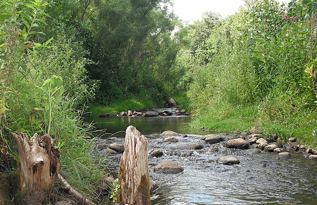
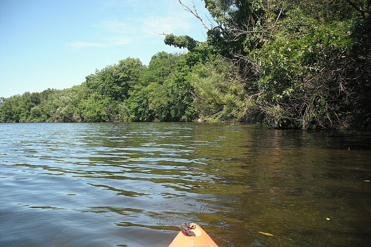
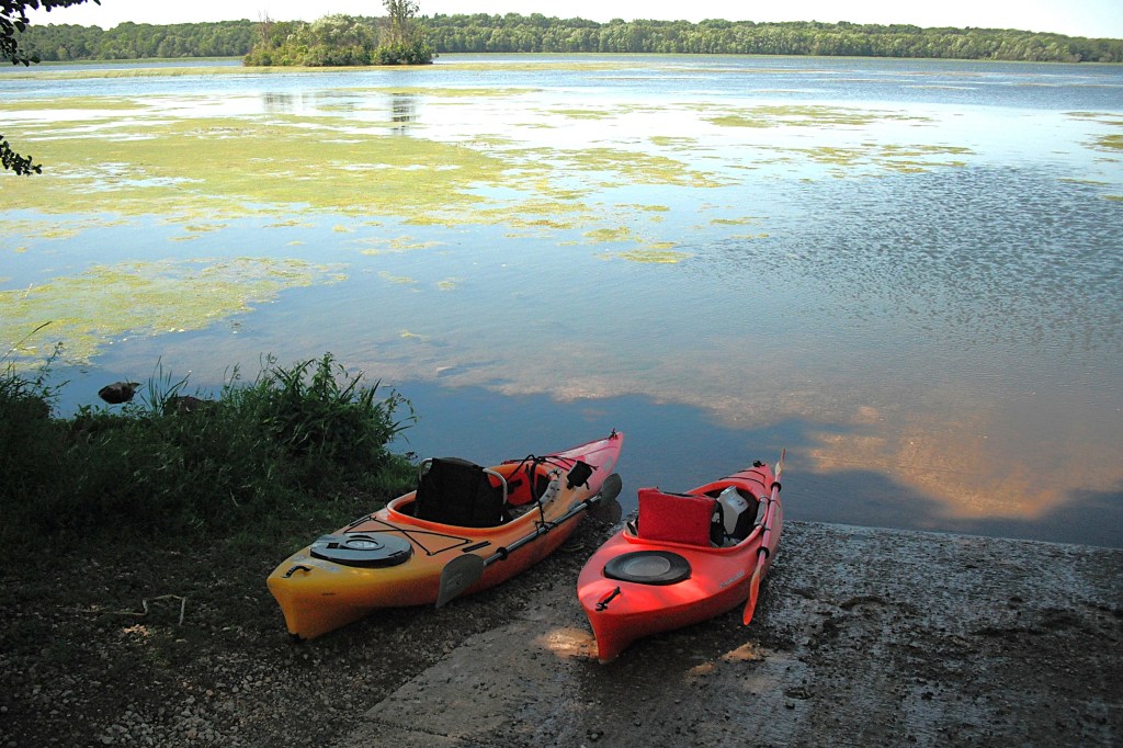
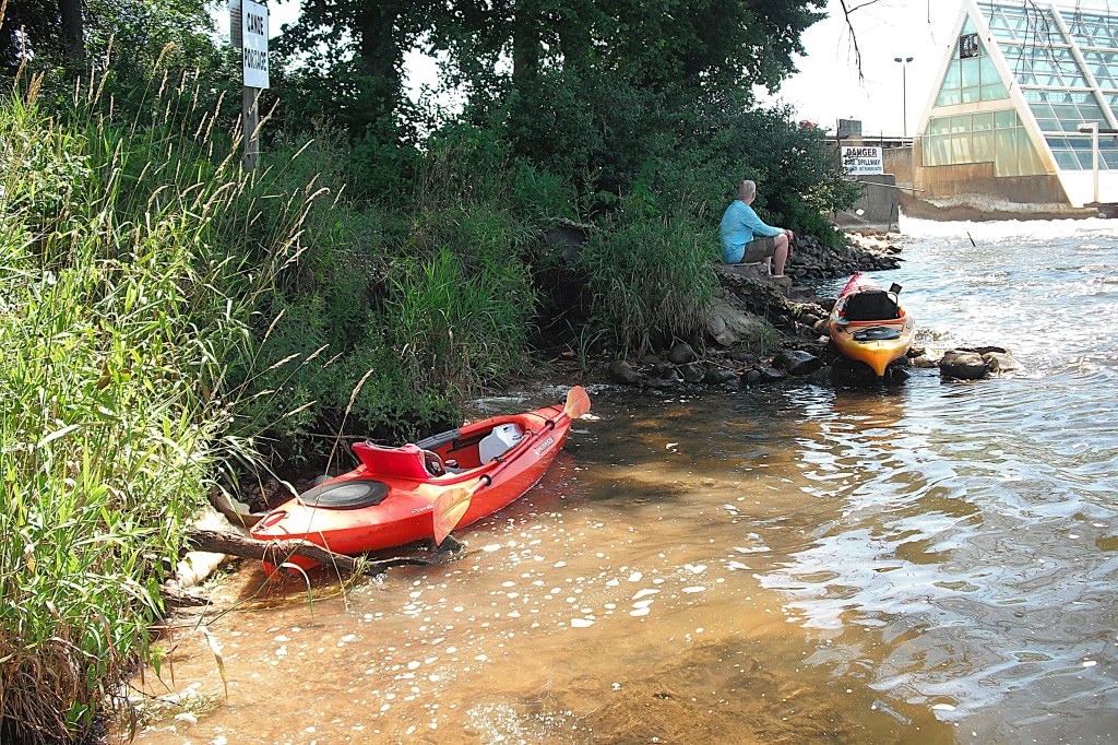
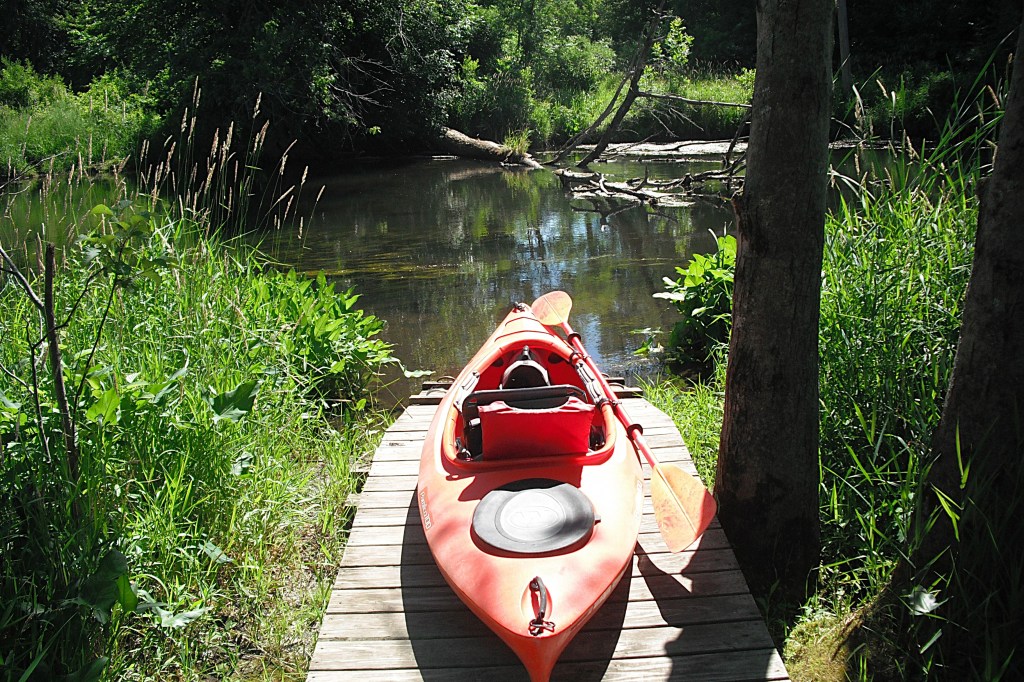
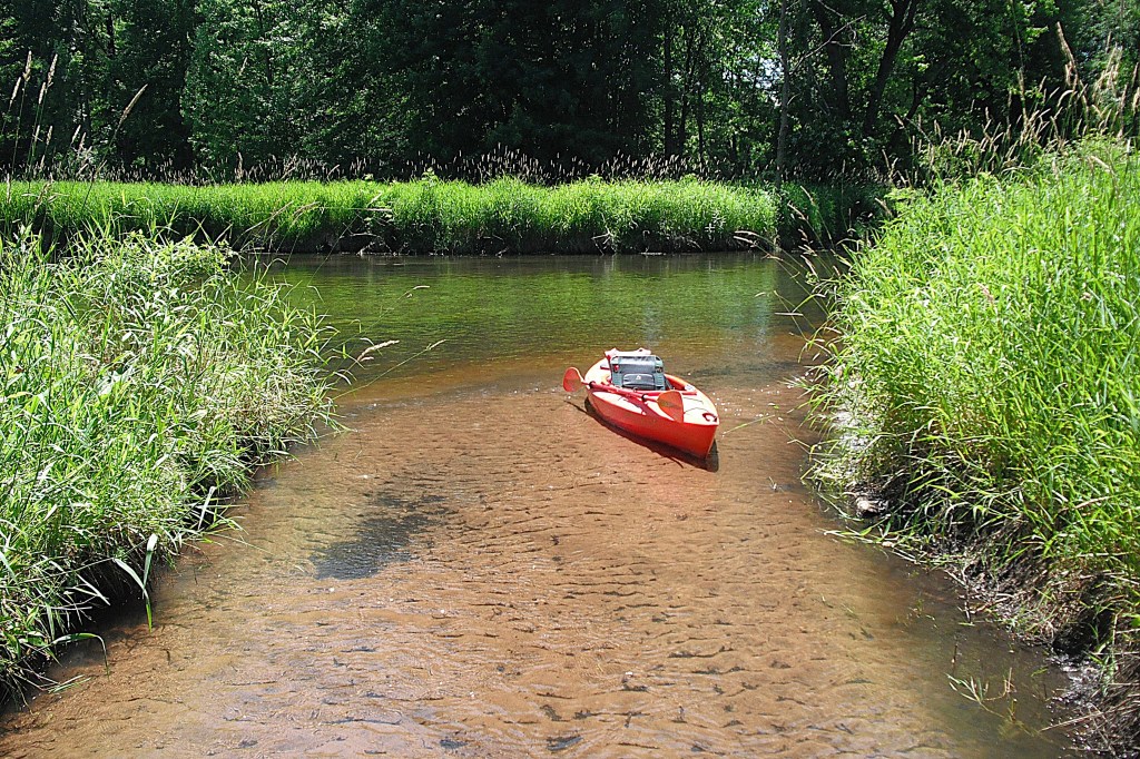
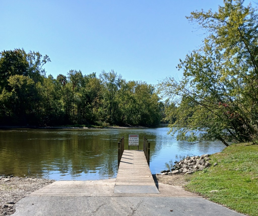
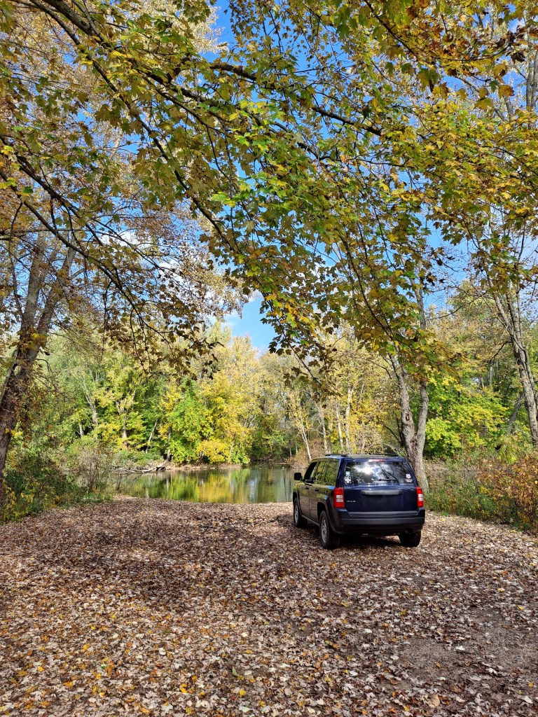
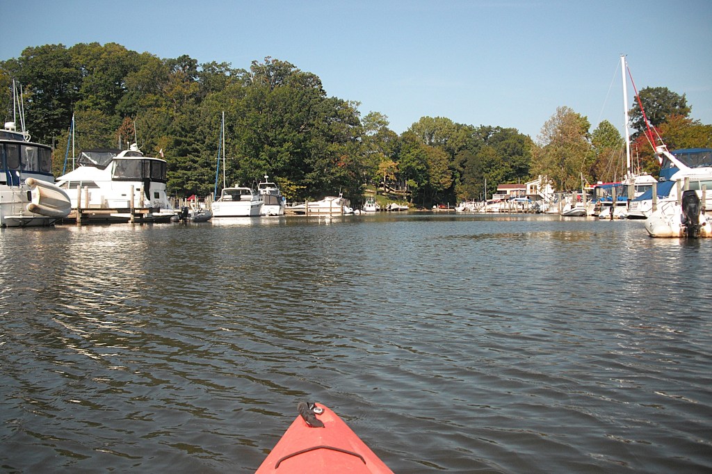
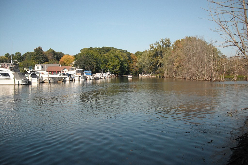
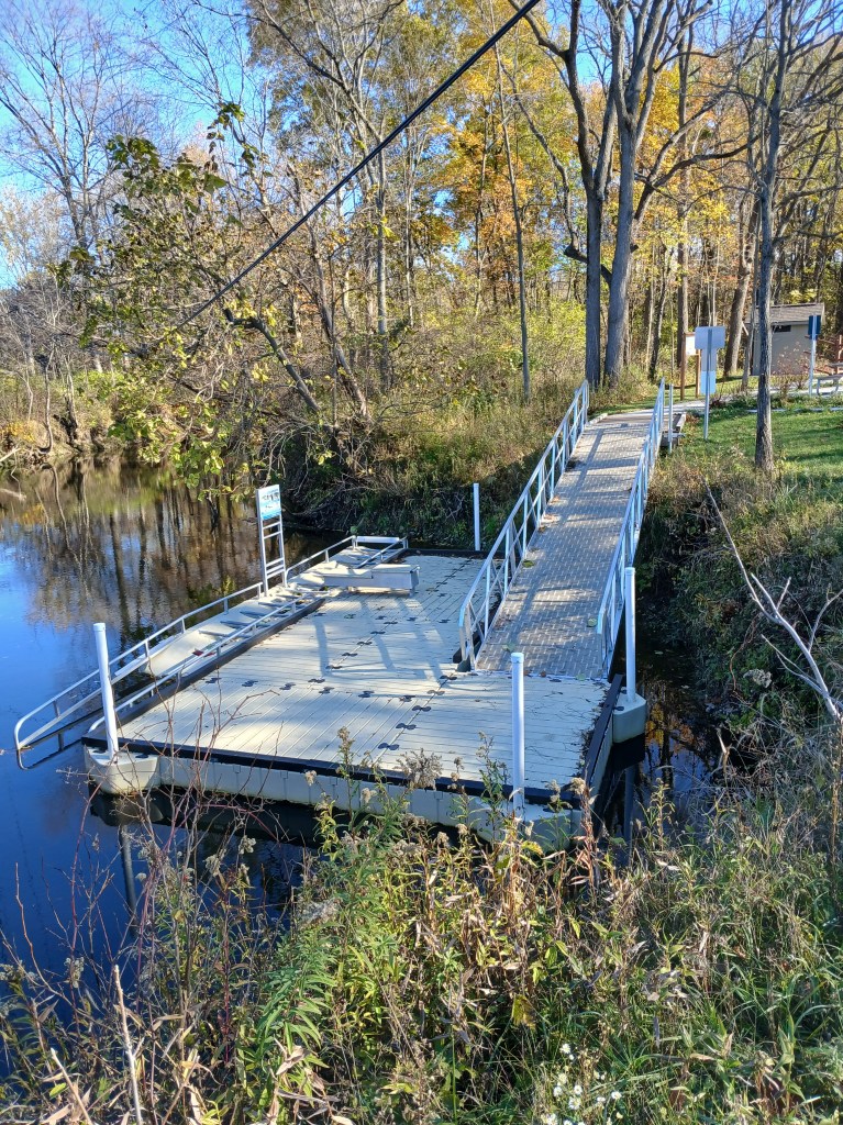
About a hundred yards east of Stuarts Landing Park is a unnamed, unmarked boat landing with a concrete ramp. Sadly, there are no restrooms. By vehicle, turn north on Willow Road from Homer Road. After traveling a hundred feet, go east for two hundred feet, then turn north. The ramp is at the end of the road. The photo was taken in early spring, looking east.

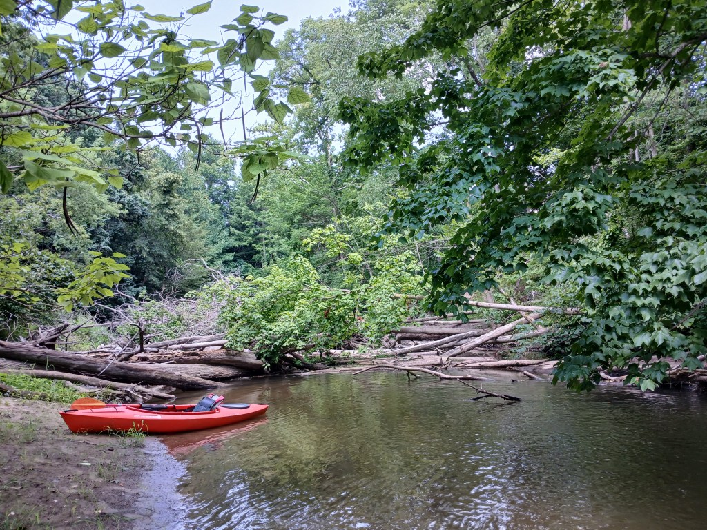
I enjoyed the scenery on this voyage. The rapids added adventure to the trip. The long final stretch with no current was tiring, but still fun. I’ll do it again!

THORNAPPLE RIVER, CHARLTON PARK TO HASTINGS, BARRY COUNTY

This trip on the Thornapple River is never very far from civilization. There are some homes on the riverbank and near the river. Roads are nearby and bridges span the river. Despite all this, I still found the river to be scenic and enjoyable. I went on a weekday in July and I didn’t see another boater until I arrived in Hastings.

There is a watercraft livery in Hastings, but they don’t always provide shuttle service. I felt extremely lucky to get shuttle service from them. If you’re interested in renting watercraft, then the livery is a good choice. The livery boat landings are off-limits to non-customers.

If you are providing your own car spotting, then Charlton Park is a good place to launch kayaks. Take Charlton Park Road north from highway M79. The Barry County park is on the north side of Thornapple Lake, on the east side of the road. Follow the park signs to the boat landing.

To begin, head west from the Charlton Park boat landing. The first mile and a half of the voyage has no current. Eventually, the river shows signs of current.

This part of the Thornapple is characterized by long stretches of slow current with water depths of one to three feet.

The slow stretches are followed by brief sections of shallow, fast, riffled water (not quite rapids). The water depth in these riffles ranges from a foot to only a few inches.

The riffles are visible from a distance, giving kayakers time to look for the best path through the shallow water.

It’s difficult to keep from scraping the rocky bottom in the riffles. No matter how hard I tried, I still got hung up a few times. Maybe water levels will be higher when you are on the river.

A mile and a half downstream from the Charlton Park Road bridge, the historic McKeown Road bridge spans the river at McKeown Bridge Park. The bridge was built in 1903 and was restored in 1975 for pedestrian use.

In all parts of the river, keep an eye out for large rocks and small boulders. They have a bad habit of showing up when you least expect them.

There are plenty of places to stop for a break. I pulled up on a gravel bar for lunch and a cool swim.

The final portion of the trip is in the city of Hastings. This section of the river is very popular with tubers. Tube traffic can be heavy at times.

Tyden Park in Hastings is a good place to end a trip. It doesn’t have a designated boat landing, but there are several places that will suffice. The wooded park is well kept with picnic shelters and modern restrooms.

KALAMAZOO RIVER, MARSHALL TO BATTLE CREEK, CALHOUN COUNTY

SAYLORS LANDING TO PADDLERS GROVE

This stretch of the Kalamazoo River is pretty mellow for the most part. It is wide and shallow with a mostly gravel bottom. The current is moderate with a few fast sections. There are some islands scattered throughout the trip.

My friend Dan and I chose Saylors Landing as our starting point. It’s southwest of Marshall at the Fifteen Mile Road bridge over the river. The landing is beautiful with a concrete boat ramp, a clean modern restroom, and picnic tables.

This trip is a little over twelve miles long, so plan accordingly.

There are over a half dozen sections of fast water throughout this part of the Kalamazoo. Some could be technically classified as Class I rapids. I thought that most of the rapids were mild and easy to paddle.

We came across an unnamed creek that flows into the river.

There aren’t very many downed trees and tree limbs to paddle around, so the river is suitable for kayakers of all skill levels. Keep an eye out for occasional large rocks and shallow water.

Paddling around an island required some maneuvering.

Our trip ended at Paddlers Grove, south of Battle Creek. Head north on Beadle Lake Road from I94. Take South River Road east from Beadle Lake Road. The park is on the north side of the road. This park is just as nice as Saylors Landing, with a clean modern restroom and picnic tables. The boat landing is a floating dock with a attached watercraft slide. I wish more river access sites were like this one!

This voyage isn’t particularly challenging, but the scenery makes up for it!

MORROW LAKE and KALAMAZOO RIVER, COMSTOCK TOWNSHIP, KALAMAZOO COUNTY

MDNR MORROW LAKE ACCESS SITE TO COMSTOCK MERRILL PARK

This relatively short water trail takes kayakers on a tour of a portion of Morrow Lake. There is a portage at Morrow Dam followed by a short trip down the Kalamazoo River.

Morrow Lake was formed by the construction of Morrow Dam on the Kalamazoo River in 1941. The lake was a source of cooling water for a power plant at the dam. The plant closed in 1983 and a hydro-electric power plant was built. That plant is still in operation.

The lake was drained in 2019 for dam repair. It was refilled in 2021. Since the refill, some areas of the lake that were previously open water are now covered with vegetation. Floating mats of algae are scattered around the lake.

The trip starts at the MDNR Morrow Lake Access Site. Take Rosemont Road south from highway M96, about halfway between Comstock and Galesburg. The boat landing is at the end of Rosemont Road, on Plaza Avenue.

The water trail follows the north shore of Morrow Lake west to the dam. The wooded shoreline makes for a scenic paddle.

At the dam, there is a concrete seawall extending north from the hydro-electric power plant. Next to a “Canoe Portage” sign, there is a steel platform hanging from the wall that is suspended above the water. Slide out of your kayak onto the platform, stand up, and lift your kayak over the wall. I thought the process was rather awkward, almost difficult. I still have the imprint of that grate on my butt.

West of the wall, at the bottom of an embankment, there is a short trail through a small wooded area. At the end of the trail, concrete steps lead down to the river. At the bottom of the steps, rough water from the spillway can be expected. There is a better place to get in your kayak that is slightly downstream from the steps.

The river flows west from the dam to Merrill Park. The water depth varies from a foot deep to over six feet deep. The current is moderate to fast over a sand, gravel, and rock bottom.

Heading downstream from the dam, there is a mid-river island and a power plant access bridge. The river is navigable on both sides of the island. Past the bridge, there are two sections of riffled fast water.

At the end of a long straight stretch of the river, there is another island.

Comstock Creek flows into the river on the north side of the island. The creek is only navigable for a short distance, but it’s worth checking out.

Between the island and the River Street bridge, there is a small rapids on the south half of the river.

The trip ends at Merrill Park, downstream from the River Street bridge, on the south side of the river. The park is south of Highway M96, on the corner of River Street and Comstock Avenue.

PORTAGE RIVER, PORTAGE LAKE TO NORTH FISHER LAKE ROAD, SAINT JOSEPH COUNTY

This trip on the Portage River begins at the south end of Portage Lake, at the MDNR public access on Silver Street. Paddle east from the landing to the river mouth at the southeast corner of the lake.

The river flows through agricultural land and farmers use the river as a water source for irrigation. The river corridor is wooded. There are a few waterfront homes, but the riverbanks are mostly undeveloped.

The current is slow and the depth ranges from one to three feet. The river is mostly clear over a sand and gravel bottom. The solid bottom extends to much of the shoreline, making it easy to find a good spot to get out of your kayak and take a break.

For the first part of the trip, from Portage Lake to Parkville, the river is wide and mostly clear of obstructions. It’s easy to paddle.

In Parkville, the remnants of an old dam has created a small rapids. The dam diverted flow to a millrace which is still visible. The millrace powered a grain mill. The mill was in operation from 1909 to 1929. Sadly, there isn’t much left of this historic landmark.

Between Parkville and North Fisher Lake Road, there are a lot of fallen trees in the river. Maneuvering is required. There is always a way to get through without portaging.

The next bridge past the Parkville Road bridge is the North Fisher Lake Road bridge. It marks the end of the trip. The small landing is on the north side of the river, on the east side of the bridge. Parking is on the side of the road. I’m sure you’ll find this stretch of the Portage River to be a pleasure to paddle!

ROCKY RIVER, NULL ROAD TO THREE RIVERS, ST. JOSEPH COUNTY

NULL ROAD BRIDGE TO THREE RIVERS CONSERVATION PARK

The Rocky River is not rocky in this stretch of the river. The bottom is mostly sand and gravel with mud along much of the shoreline. Consequently, it’s not easy to find a good spot to pull up on the riverbank to take a break. The clear river runs thirty to fifty feet wide and ranges in depth from one to three feet.

Rocky River access is northwest of Three Rivers, at the Null Road bridge. A boardwalk with a canoe/kayak slide is on the north side of the road, on the west side of the river.

There are a few waterfront homes on the shore, but much of the riverbank is undeveloped. The river current is slow to moderate.

The wooded river corridor makes for a pleasant scenic paddle. Fallen trees will require some maneuvering. If you possess basic paddling skills, then you should have no problems.

The old Cowling Road bridge still spans the river. It was built in 1904 and is no longer in use.

I paddled into the shallow Armalege Drain for a lunch break. I took advantage of a three foot deep hole off the drain mouth and went for a dip in the cool waters of the river.

After passing under the US131 bridge and the Hoffman Street bridge, the river flows through open country with a few trees.

There is a small Class I rapids at the Moore Street bridge.

There are Class I and Class II rapids in downtown Three Rivers. Before starting a trip, I recommend viewing the rapids and formulating a plan. Portaging is an option. Always paddle within your limits and experience level.

Memory Isle and Memory Isle Park are inside the Three Rivers city limits. The rapids are immediately downstream from Memory Isle. The rapids are the result of a dam failure and washout back in 1992. If you are going to portage the rapids, then take the channel on the right side of the island. Pull up on the mainland shore. The portage will be obvious. There is no handy place to put your kayak back in the water after portaging. This looked like the best spot. If I remember correctly, the wooden walkway is about three feet above the level of the river.

Go to the left side of the island if you intend to run the rapids. The rapids can be treacherous, so make your choice wisely. In the photo, compare the size of the rapids to the size of the auto in the parking lot.

Downstream from the rapids, the Rocky River flows into the St. Joseph River at Scidmore Park. Directly across the St. Joe River from the mouth of the Rocky River is the Conservation Park boat landing, marking the end of the trip.

KALAMAZOO RIVER, PIPELINE LANDING TO NEW RICHMOND, ALLEGAN COUNTY

This trip will take kayakers through one of the more remote areas of the Allegan Forest. For part of the way, the river borders the Ottawa Marsh. The densely wooded riverbanks seem like a jungle.

The primitive MDNR Pipeline Landing is on the south side of the river. Take a unimproved trail north from 126th Avenue, between 46th Street and 48th Street.

Downstream from the landing, the topsoil eroded from two hills, leaving steep sand banks that rise up from the water’s edge.

Past the second sand hill, the river divides into two channels. Take the channel to the right. The left channel flows into the vast Ottawa Marsh. Kayakers have been known to get lost in the many channels of the large swamp.

If you are not concerned with time, explore some of the many openings in the riverbank. Some go nowhere.

Others open up to scenic bayous.

The main channel through the Ottawa Marsh eventually flows back into the Kalamazoo River. Exploration up the channel is limited by many downed trees and strong current.

Toward the latter part of the trip, the Rabbit River flows into the Kalamazoo from the north. Paddling up the Rabbit is a interesting side trip.

After the Kalamazoo River passes under a power line, a unnamed creek flows in from the south. It’s worth checking out.

Houses begin to appear on the river banks as you get close to New Richmond. A small shaded bayou lies at the base of a tall riverside hill topped with homes. The bayou offers a nice view of the river and the shade feels good on a hot day.

New Richmond Bridge Park marks the end of the trip. The boat landing is on the north side of the river, downstream from the two bridges. By vehicle, head east on Old Allegan Road from 58th Street. The landing is at the end of the road.

The two bridges are an interesting piece of the local history. The first bridge is the New Richmond swing bridge. It was built in 1879 and was recently restored for pedestrian use.

Immediately downstream is the railroad swing bridge. It was built in 1907 and is still in use.

The park is a nice place to end a trip. There are boardwalks, picnic tables, and a vault restroom. Maybe I’ll see you on the river!

OTTAWA MARSH, ALLEGAN COUNTY

The main channel through the Ottawa Marsh is called the Dailey Bayou. The bayou branches off from the Kalamazoo River at the east end of the marsh and rejoins the river at the west end. Side channels split off from the bayou, creating many islands.

The two boat landings are on the Dailey Bayou, not on a side channel. Both are at the end of unmarked semi-improved trails. The beginning of the trail to the Hoffman Landing is on the north side of Old Allegan Road, near the 126th Avenue intersection. The beginning of the trail to the Main Ottawa Landing is on the north side of 126th Avenue, between 48th Street and 52nd Street. When planning your trip, check with the MDNR to make sure that the trails are open.

Which one of the two launch sites that you choose is up to you. I viewed satellite photos of the marsh on google maps. The east half of the wetland looked like it would be the most fun to explore, so I chose the Main Ottawa Landing.

A view of the Hoffman Landing at peak fall color:

The Main Landing is a choke point. All the water from the east half of the marsh funnels through a narrow channel right at the Main Landing. I paddled upstream from the landing.

I would describe the current through the marsh as moderate. The water was cloudy, so I couldn’t see bottom most of the time. I noted that the water depth dropped off right next to shore in many places, including the Main Landing.

At one point, I decided to take a break. I probed the bottom with my paddle and it seemed like hard sand. When I stepped out of my kayak, I immediately started sinking into the bottom. I could hardly walk. With every step, the bottom threatened to suck my water shoes off my feet. I stayed in my kayak for the rest of the trip.

The Ottawa Marsh is 1700 acres and it’s easy to get turned around (never admit that you got lost). Choose landmarks. Make a mental note of which direction the current flows in relation to the landing that you chose and you’ll have a much easier time finding your way back to your launch site. If you paddle downstream from your landing, make sure that you have energy left to paddle against the current on your way back.

I thoroughly enjoyed exploring the channels and islands of the Ottawa Marsh. The lush vegetation of the wetland was pleasing to the eye. There was no sign of civilization. No people. No road noise. Just the sights and sounds of nature.

BLACK RIVER and LAKE MICHIGAN, VAN BUREN COUNTY, SOUTH HAVEN

I have visited South Haven hundreds 0f times over the years with my wife, Colleen. We enjoy visiting the Lake Michigan beaches and hiking the numerous pathways in the area. A walking tour of the riverfront and the downtown area is also one of our favorite pastimes. I have spent countless hours catching fish from the waters of South Haven. I often wondered what it would be like to kayak the Black River through town and paddle the channel out into Lake Michigan. Perfect conditions came together in early October. The busy boating season would be over, so river traffic would be light. The weather forecast was favorable: eighty degrees and sunny with light winds. I loaded up my kayak and headed to South Haven!

The Black River, from the Blue Star Highway bridge downstream to the Lake Michigan channel, is lined with marinas and condominiums with boat slips. There are a few single family homes on the river also. The amount of recreational boats on this waterway is staggering. It would be difficult to guess how many there are. There must be a thousand pleasure boats docked on the river. Kayaking through some of the marinas can be a entertaining part of your trip. Touring the marinas during heavy boat traffic is not recommended.

The canoe/kayak landing on the Black River is a really nice set-up.

In South Haven, turn north on Dunkley Avenue from Dyckman Avenue. That intersection is fifty feet east of the drawbridge. When Dunkley Avenue turns east, go straight, north, on Wells Street. Wells Street turns east and on that curve is the loading/unloading area. The dock is one hundred fifty feet from that curve. Free parking is east of that curve. Modern restrooms are north of the parking area. During my latest trip in August 2025, the modern restrooms were locked. There are portajohns in the boat landing area.

It’s time to get started! Now that you’ve got your kayak in the water, which way do you go? Upstream or downstream? If Lake Michigan is part of your trip, I recommend going downstream first. Usually, as the day progresses, the winds get stronger and the boat traffic increases. It’s much safer to head to Lake Michigan earlier in the day. Be sure to observe the rules of navigation when paddling the waters of South Haven.

As you head toward Lake Michigan, the first of many points of interest that you will see is the Dyckman Avenue drawbridge.

Downstream from the drawbridge, on the north side of the river, is the Michigan Maritime Museum, home of the fishing tug, Elsie J, a small marina, and the sailing ship, Friends Good Will.

The museum constructed a new building recently and I highly recommend a visit.

West of Gull Lake Marine, on the north side of the river, is a large basin full of boat slips that is part of the North Municipal Marina.

The rest of the North Municipal Marina and the South Municipal Marina are downstream from the basin.

The entrance to the channel to Lake Michigan is just west of the two municipal marinas.

On the day of my voyage, the swells in the channel were running one to two feet. Out in the Big Lake, the swells were running one to three feet. Offshore swells are farther apart and less steep than near shore waves. In the photos, the lake looks calm. When sitting in a kayak, it isn’t. On the day of your trip, I recommend driving to the beach and checking the channel and lake conditions before you launch your kayak. Don’t get caught in rough water that you can’t handle!

Once out in the open waters of Lake Michigan, you can enjoy the scenic views of the shoreline and the lighthouse.

When you head back upstream from Lake Michigan, there is still a lot more to see. On the south side of the river, before you get to the drawbridge, you will pass by the South Haven Yacht Club, the Harbor Inn motel, and two floating restaurants: the Idler and Admiral Jack’s.

There are very few places to stop and take a break. As you travel upstream from the drawbridge, I suggest stopping at the boat landing to stretch your legs.

The following photos trace my route up the Black River from the boat landing to the Blue Star Highway bridge.

I didn’t paddle past the Blue Star bridge, choosing to return to the boat landing instead. If you want to see more of the Black River, I recommend taking a trip down the south branch of the river, from the Family Landing near Bangor to South Haven. I have kayaked that stretch of the river and found it to be scenic. However, there are portages over or around fallen trees. I have published a post with info and photos of that trip.

My five mile trip on the waters of South Haven was everything that I thought it would be. It was a memorable trip and I hope that your trip will create some fond memories for you!

SOUTH BRANCH BLACK RIVER, VAN BUREN COUNTY

FAMILY LANDING TO BLACK RIVER PARK KAYAK LAUNCH

This trip begins in the middle of nowhere, about halfway between Bangor and South Haven. The Family Landing is located on CR384 (12th Avenue) in Geneva Township. It’s on the north side of the road, on the east side of the river. A well-worn footpath leads from a small roadside unloading area to the riverbank. A small parking area is fifty feet north of CR384, on the west side of 68th Street, next to the old Riverside School.

My friend Dan and I took this voyage in early August of 2025 during low water levels. The character of the river can change during higher water levels.

On the first half of the trip, from CR384 to Phoenix Road, the current was slow over a sand bottom. Water depth was mostly one to three feet. The river flows in a northerly direction.

We encountered a multitude of downed trees and tree limbs. We successfully paddled over, under, and around most of them.

Some of them required a portage. Most of the portages were easy.

If you’re good at slouching way down in your kayak, then you can avoid some of the portages. Beginners might experience difficulty.

The first bridge after the landing spans the river at 8th Avenue. A tiny rapids under the bridge was the only swift current of the trip.

Downstream from the bridge, Black River Trails Campground occupies the riverbank on the left.

Upstream from the Phoenix Road bridge, a monster logjam completely blocks the river.

The portage is on the left. Follow the well-worn footpath through the woods for seventy five yards and you’ll arrive back at the river, downstream from the logjam.

The Phoenix Kayak Launch at the CR388 (Phoenix Road) bridge is a great spot to stop for a break. The landing features a dock with a boat slide and a ramp that leads to a parking lot and a vault toilet. You can end your trip at Phoenix Road or continue on to South Haven like we did. Starting at Phoenix Road and ending at South Haven is another trip option.

The second half of the trip, from Phoenix Road to South Haven, is much different than the first half. Very few fallen trees and no portages made paddling easy.

Shortly after leaving Phoenix Road, the river gradually becomes wider and deeper. The current slows to a snails pace.

If you tire easily, then you may not like this no-current section of the river. It extends all the way to the landing in South Haven. You may get tired, but the scenery makes it worthwhile. We couldn’t find anyplace to stop and get out of our kayaks to stretch and take a break.

Near the 70th Street bridge, the river changes course and flows in a westerly direction. Continuing downstream, the river travels under the 71 1/2 Street bridge, the Kal-Haven Trail bridge, and the Interstate 196/ US31 bridge.

At the Blue Star Highway bridge, the Black River enters the City of South Haven. From the Blue Star bridge to the boat landing, the shore is lined with hundreds and hundreds of boats.

Pleasure boats of all types and sizes are present.

As you can imagine, boat traffic can be heavy at times. Always be aware of your surroundings while kayaking the river through South Haven. Observe the rules of navigation. The river is patrolled, so make sure that you are compliant with the boating regulations. As long as you have a personal flotation device, then you’ll be okay. I have found that the pleasure boaters are a courteous bunch. They keep an eye out for small craft, but kayakers should still be vigilant.

The trip ends at the Black River Park ADA Kayak Launch. The landing is just around the bend from the boat ramp and 800 feet upstream from the Dyckman Avenue draw bridge.

There is a small free parking lot next to the loading/unloading area. When we ended our trip, the park restrooms were locked and we had to search elsewhere for facilities.

The first half of the trip challenged our kayaking skills. The lack of current on the last half of the trip tired us out. From start to finish, the scenery was exceptional. Overall, we enjoyed our Black River adventure!