DESTINATIONS IN SOUTHWEST MICHIGAN

When kayaking the waters of southwest Michigan, I rarely see other kayakers. Maybe boaters just don’t know where to go. This motivated me to share my knowledge with you. I hope that you enjoy these scenic waterways as much as I do!

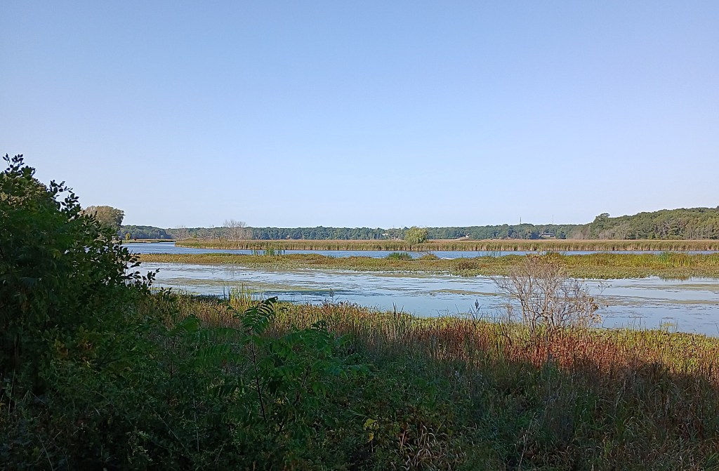
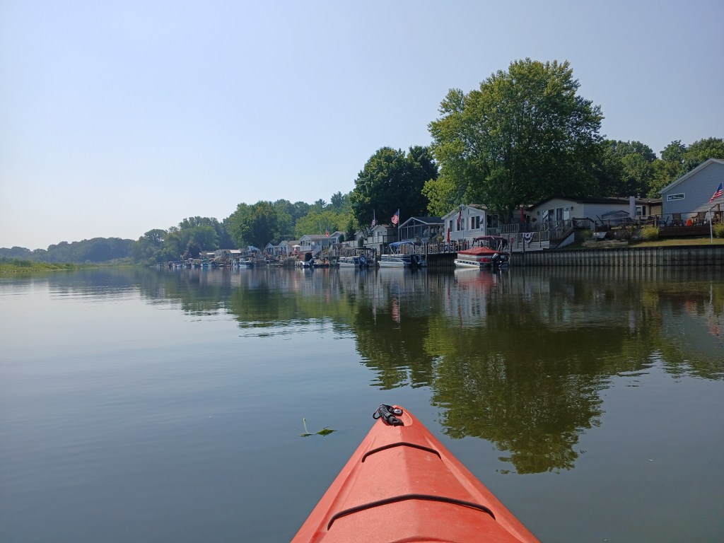
Most lakes in southwest Michigan have developed shorelines. Kayakers enjoy viewing the many homes that dominate the coastline. Many are accompanied by beautiful landscaping. Boaters also enjoy people watching. These lakes are plentiful and are too numerous to list. I will focus on lakes and small streams that have little or no development. They are fewer in number and I continue to search them out. Lakes of this variety that I have found are located in Kalamazoo, Van Buren, Barry, and Allegan counties.

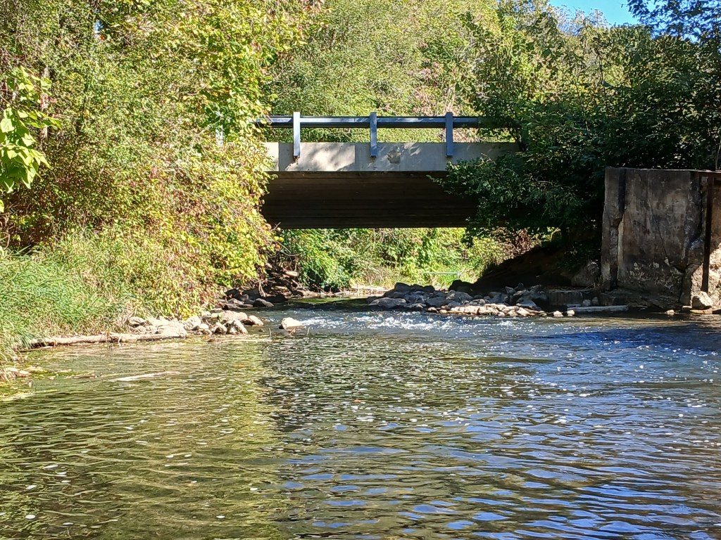
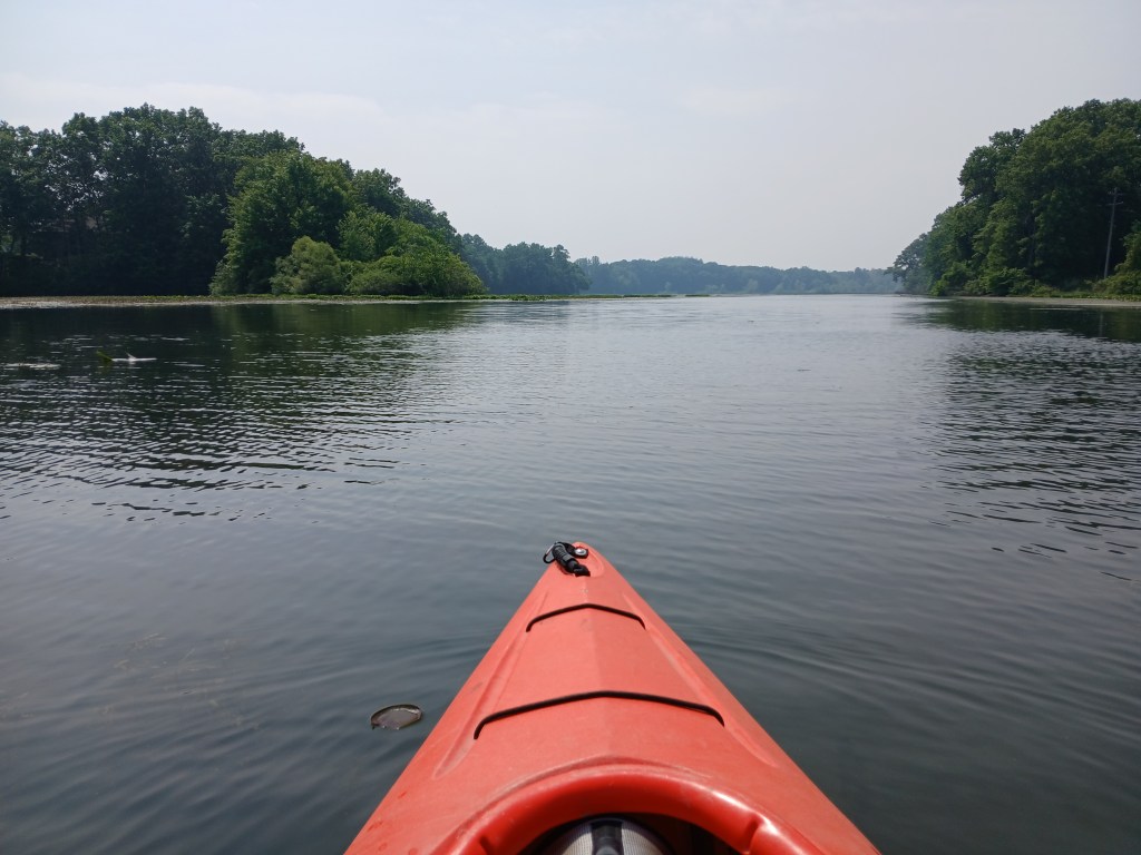
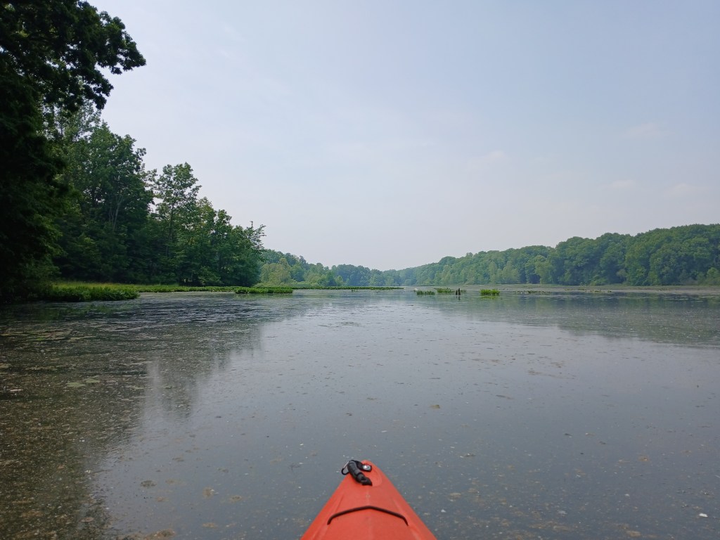
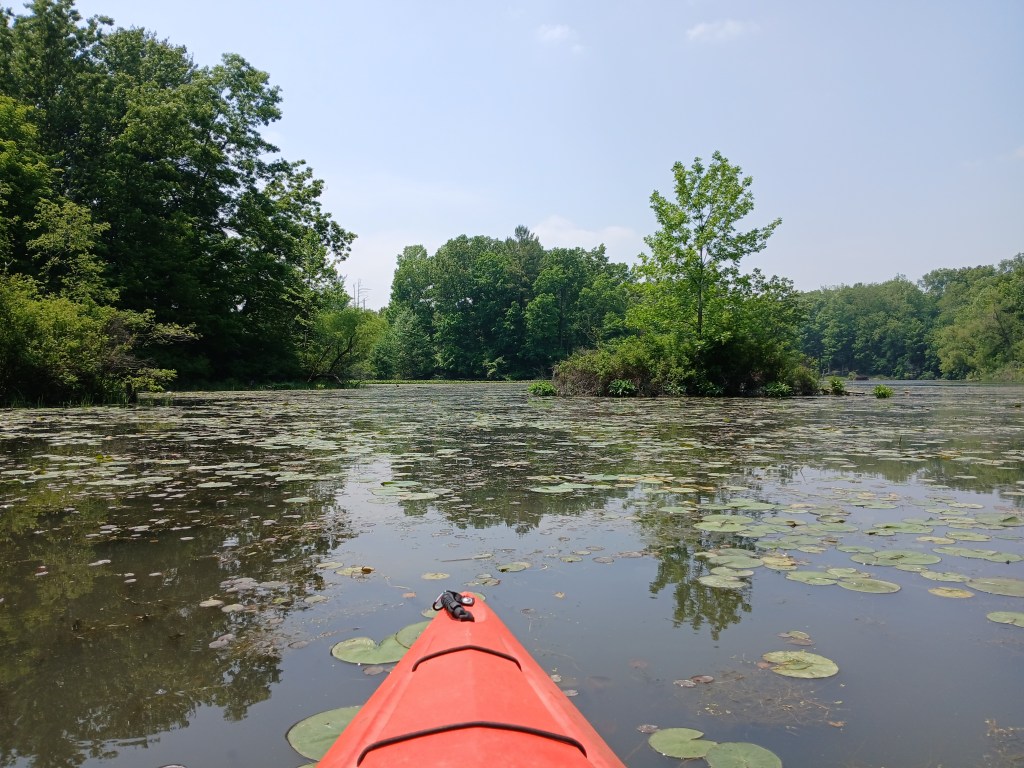
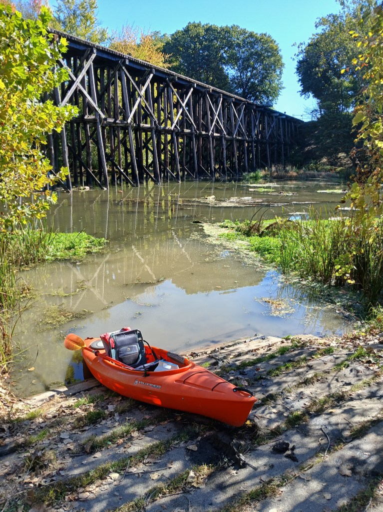
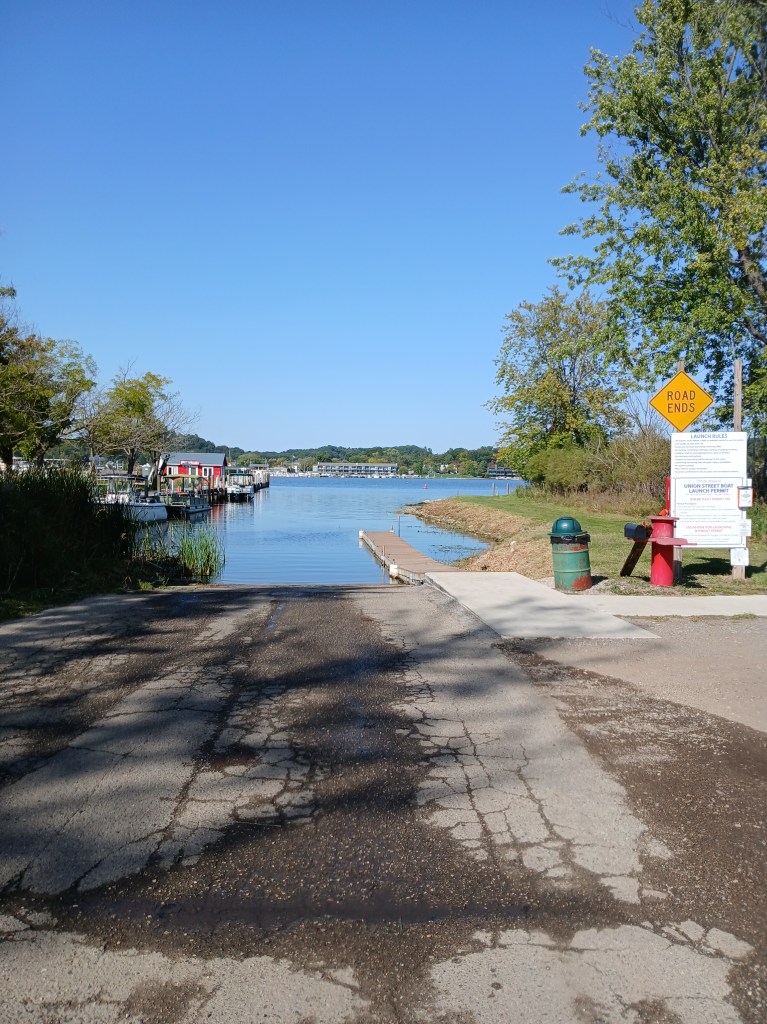
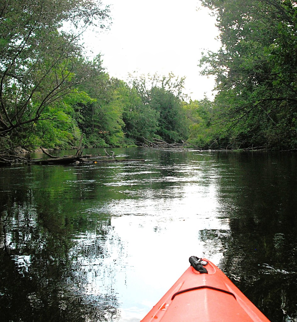
The rivers that I will cover are located all over southwest Michigan. These rivers are mostly rural in nature but sometimes you will have to paddle through cities or villages. Most of these lakes and rivers are easily accessible, but some are located on unmaintained county roads or one lane unimproved trails. You will not need four wheel drive to get to these lakes and rivers but sometimes it might be helpful to have it.

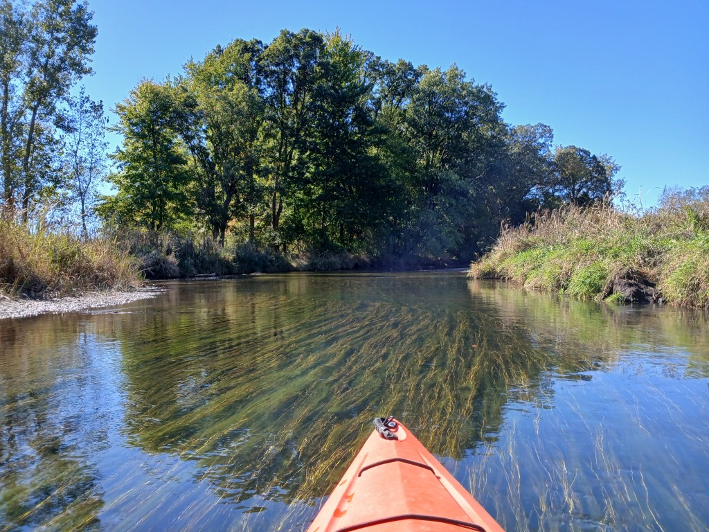
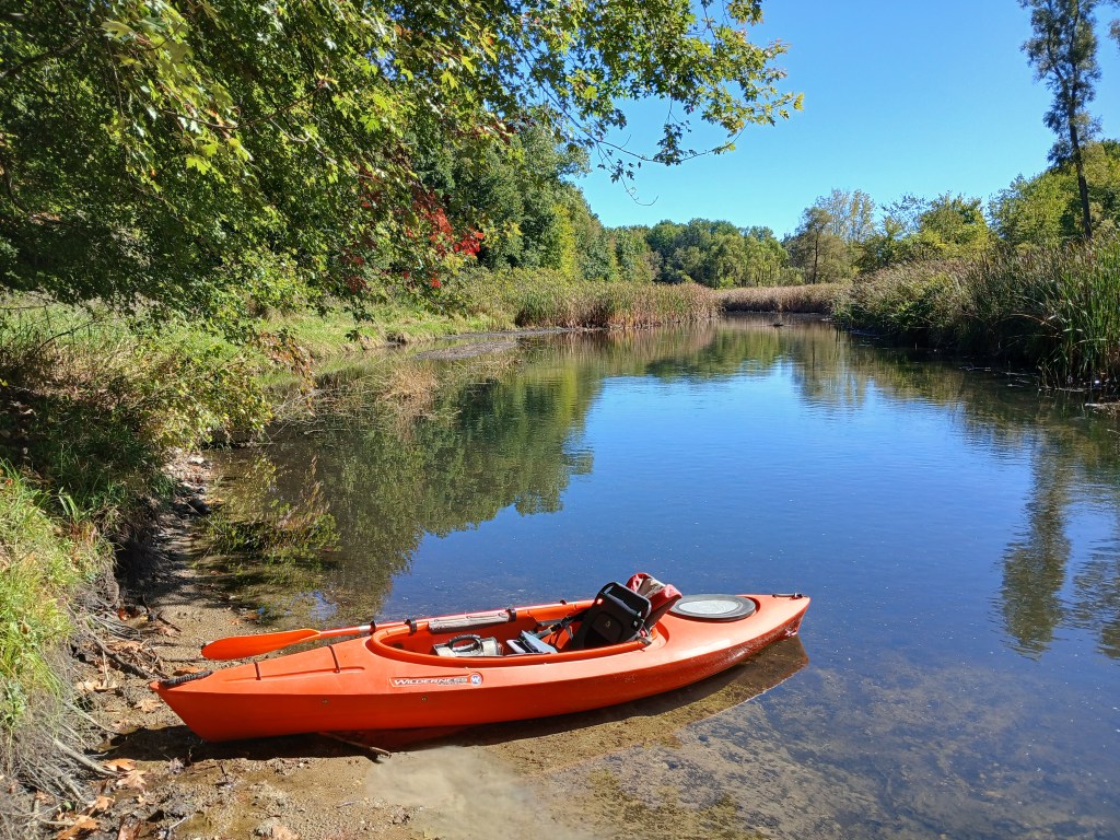
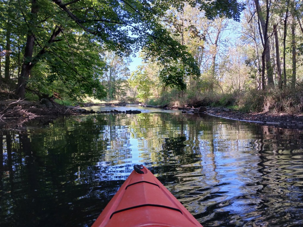
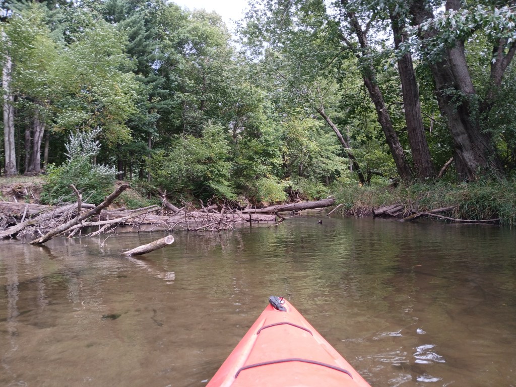
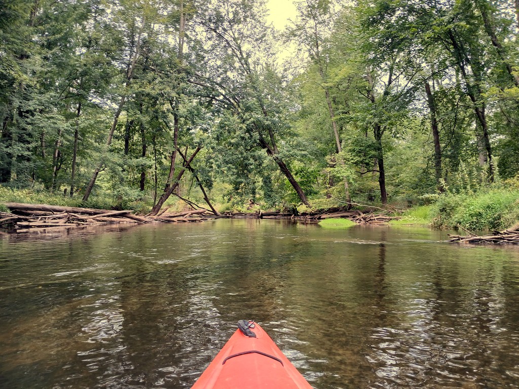
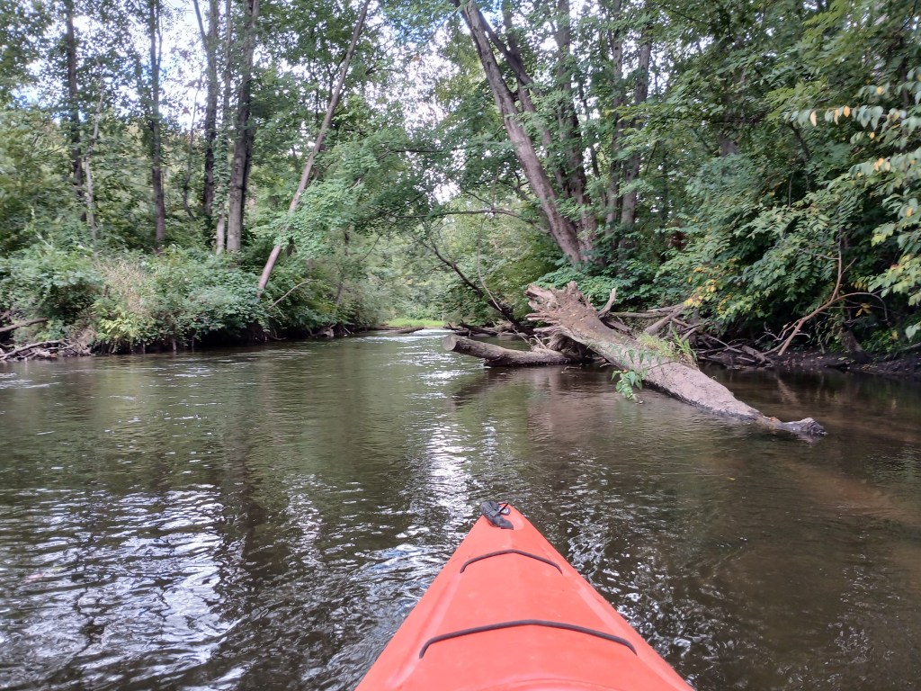
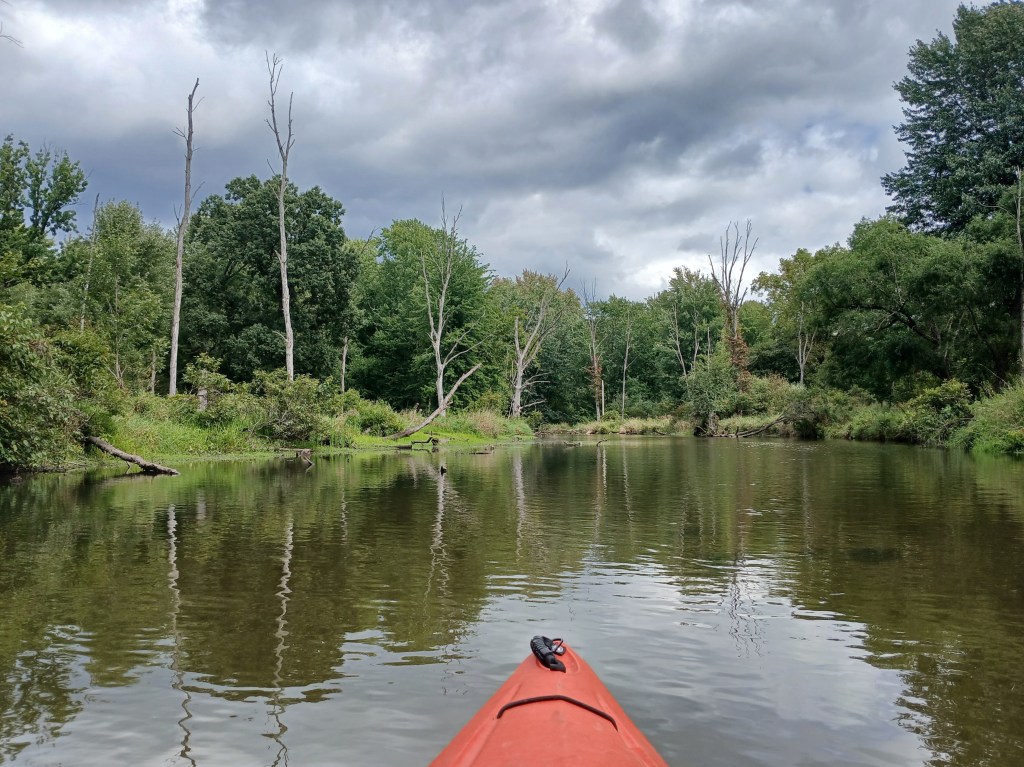
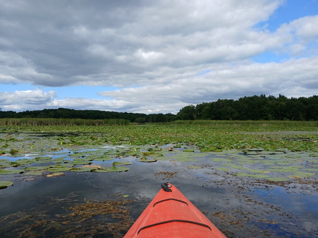
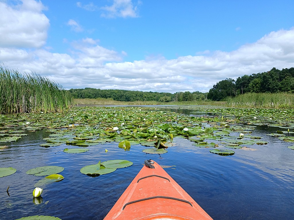
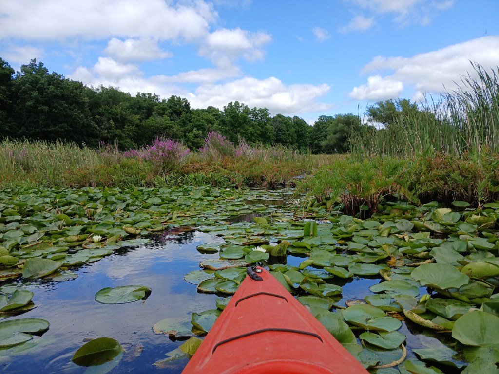
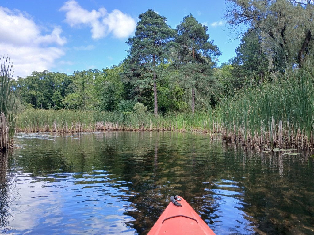
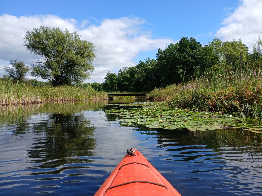
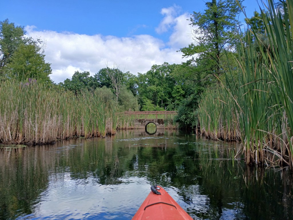
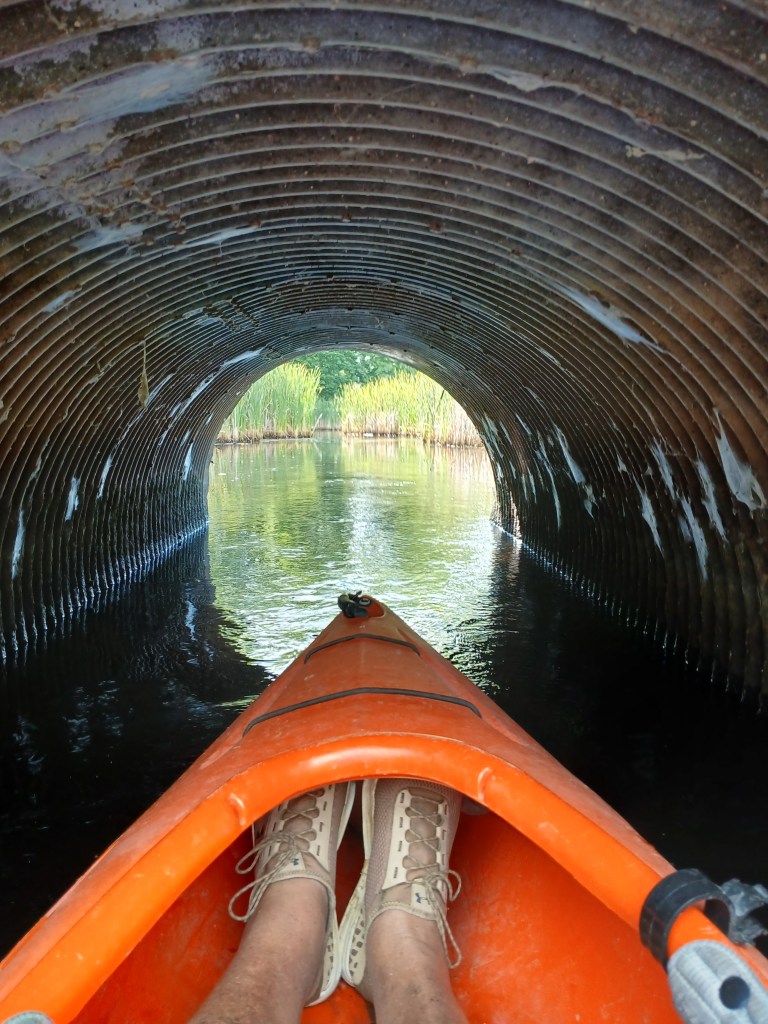
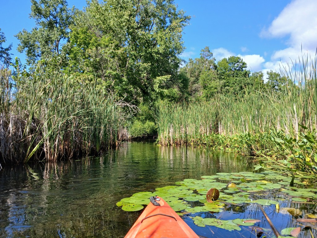
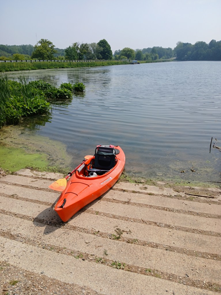
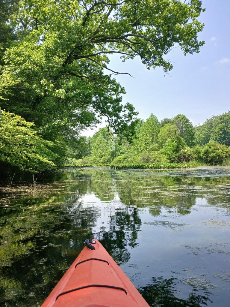
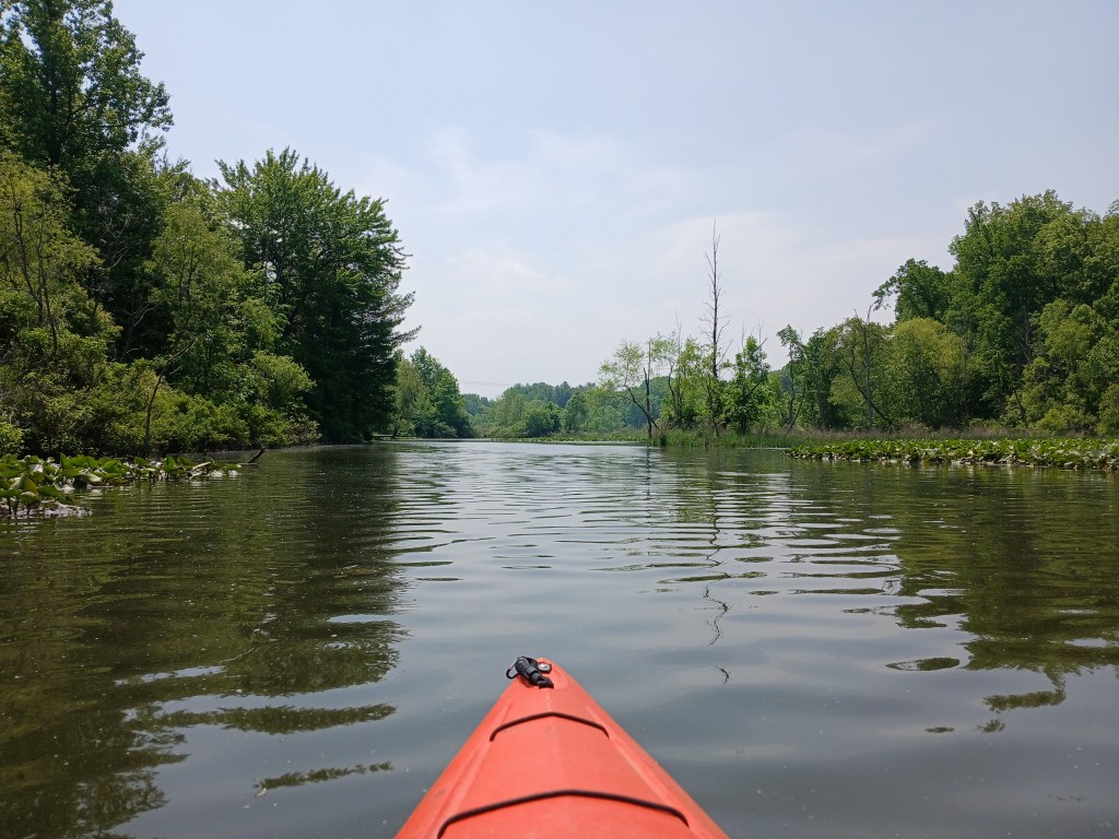
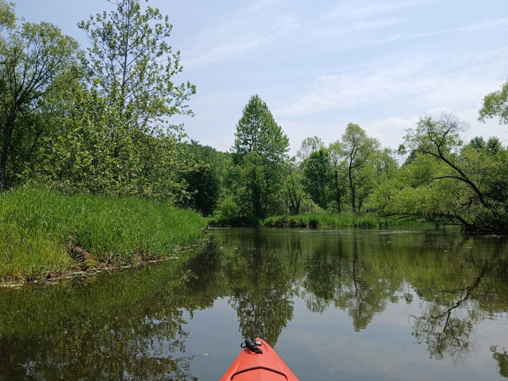
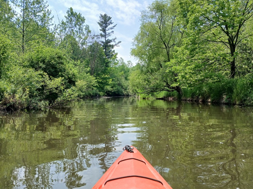
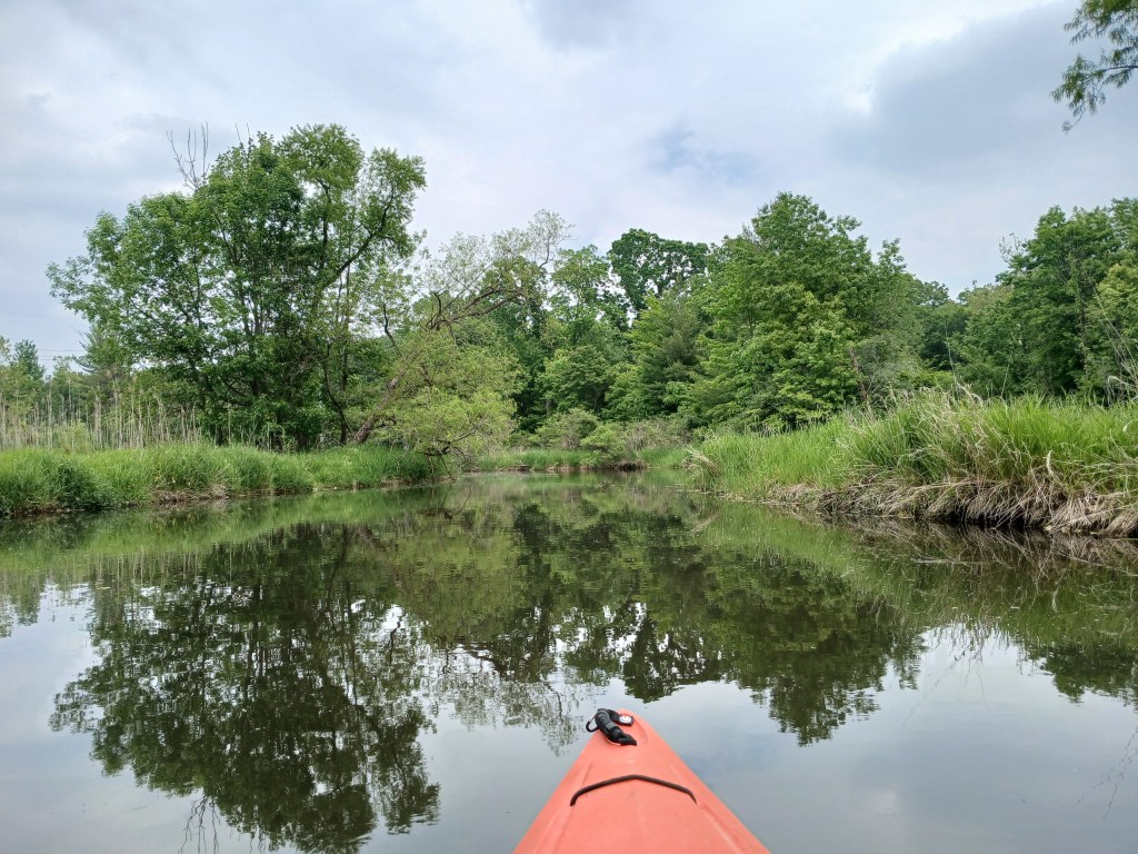
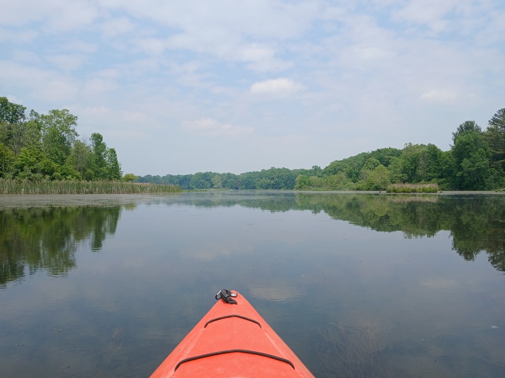
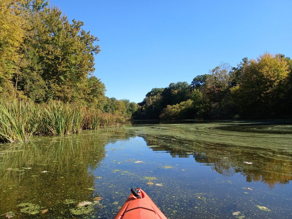
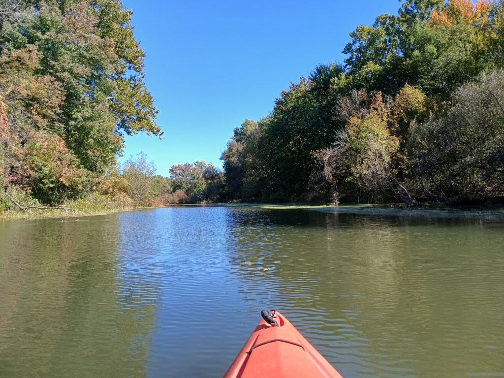
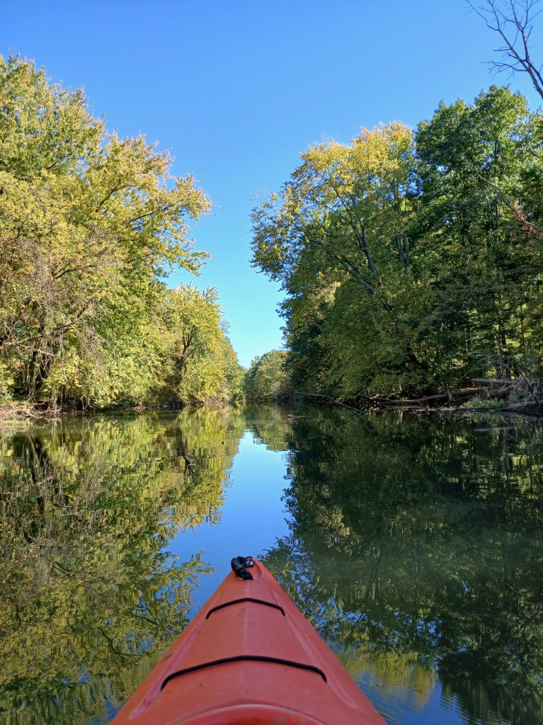
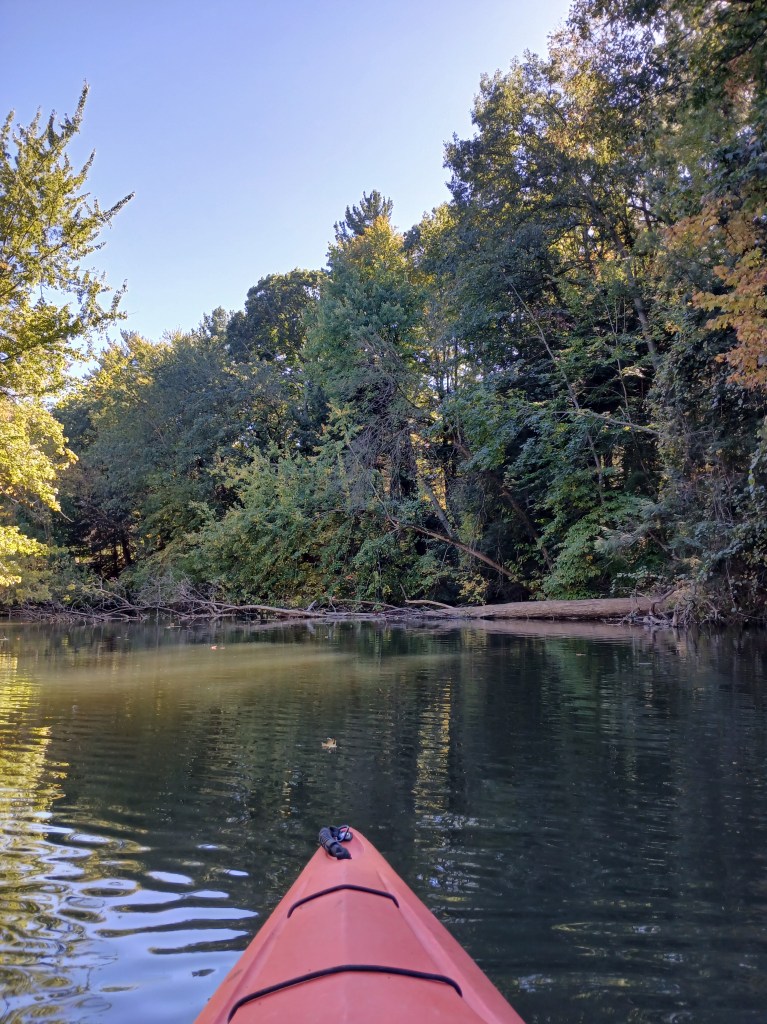
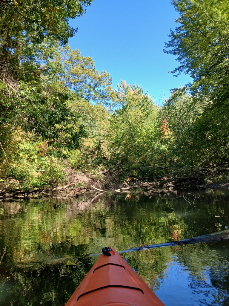
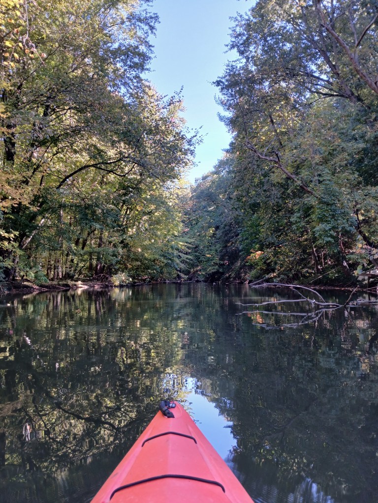
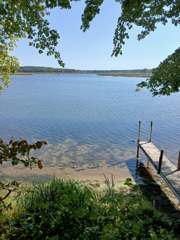
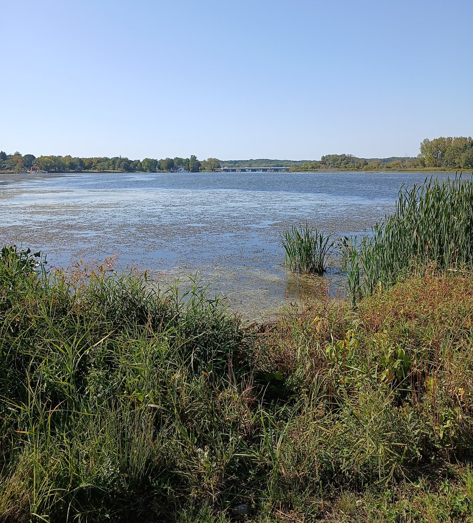
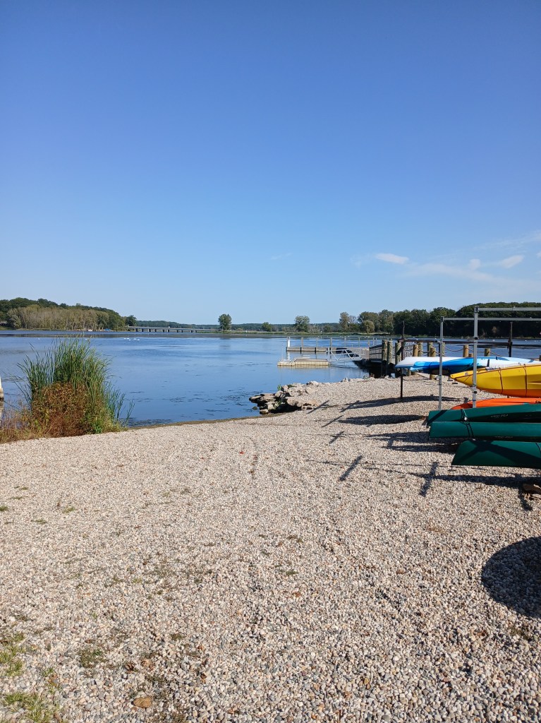
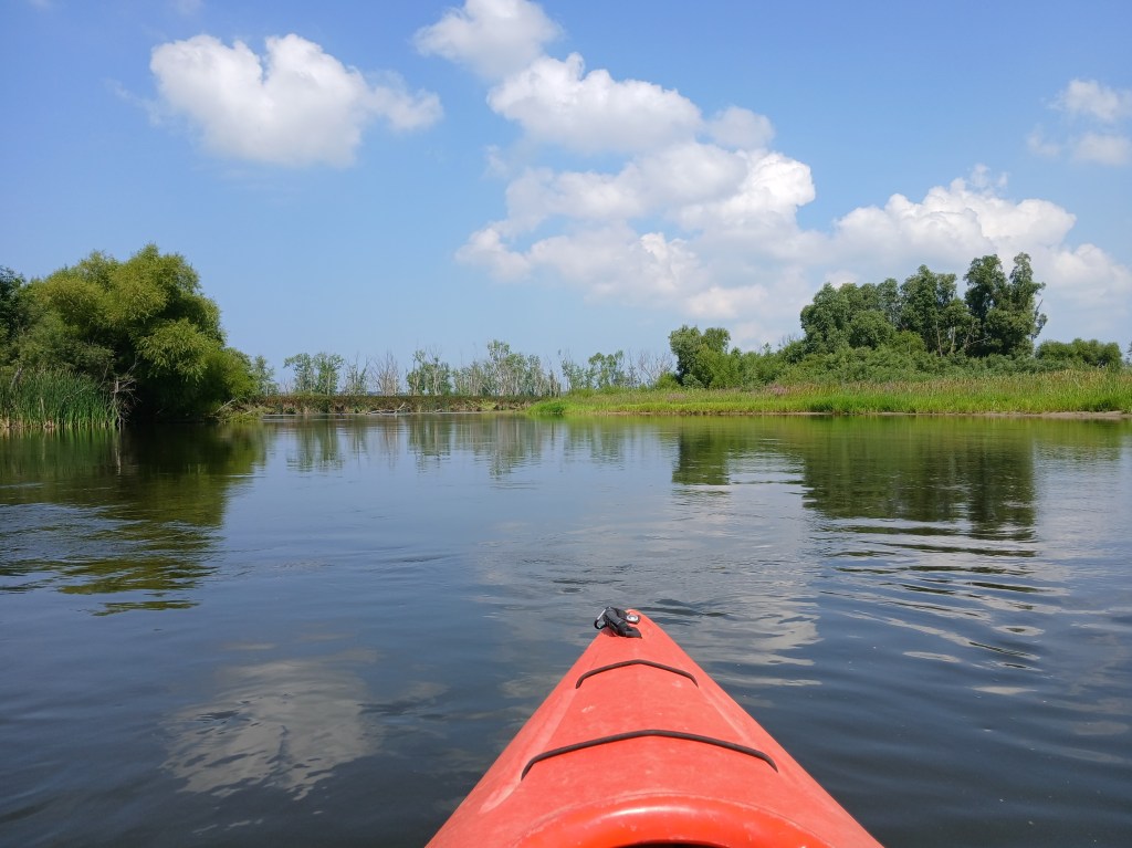
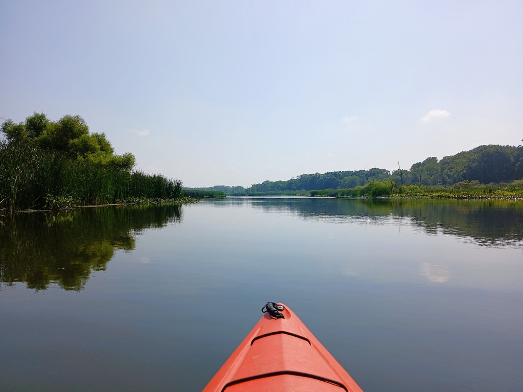
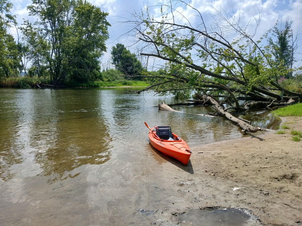
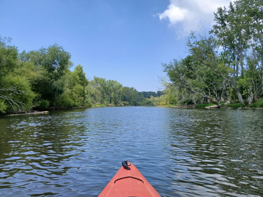
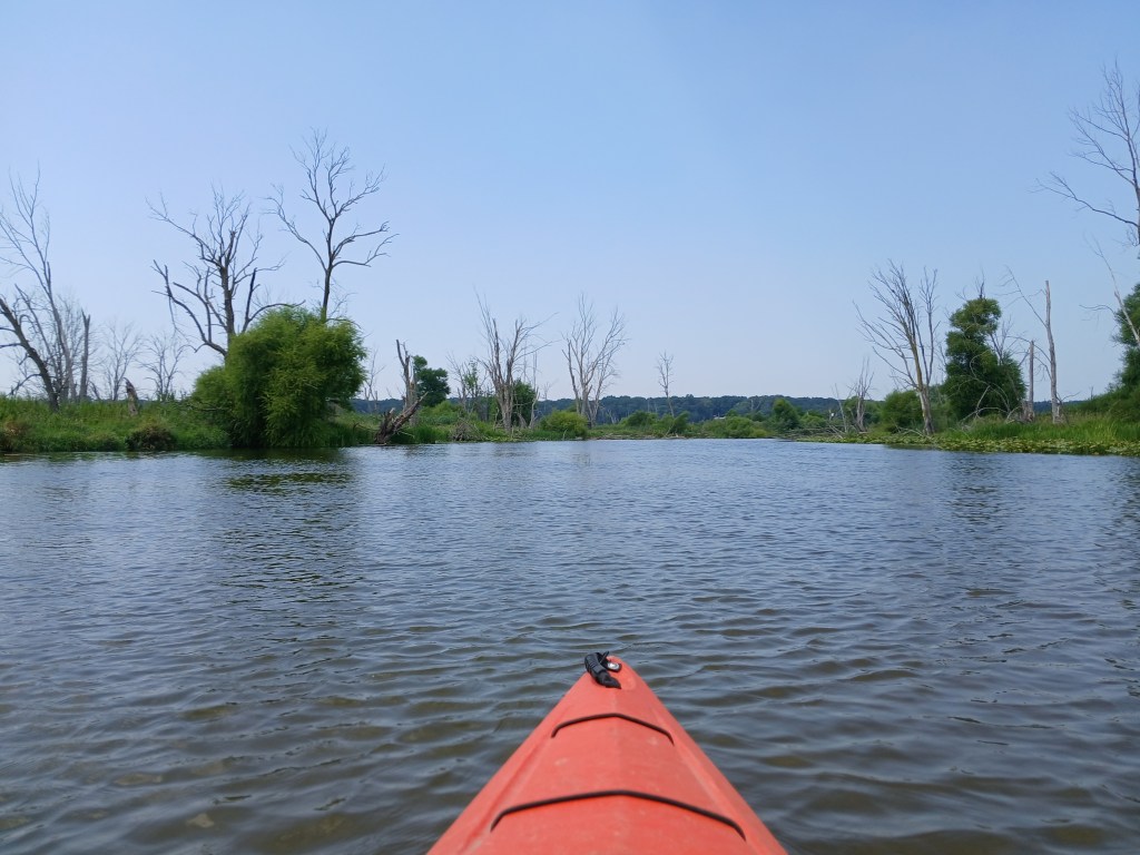
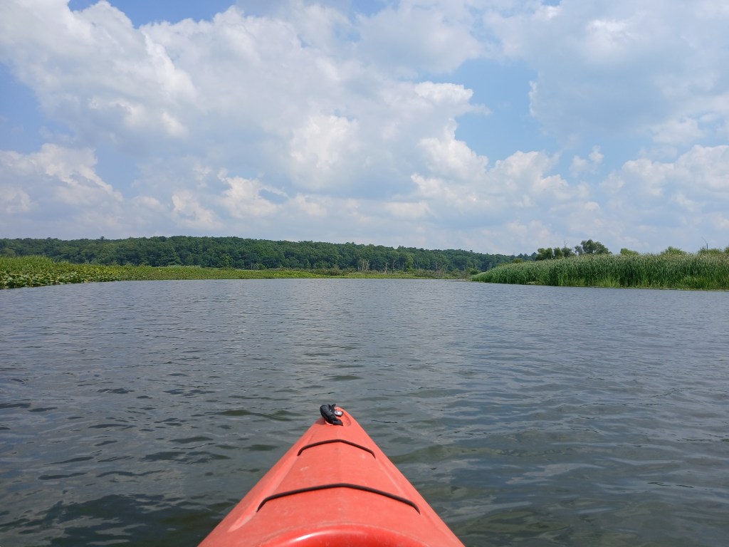
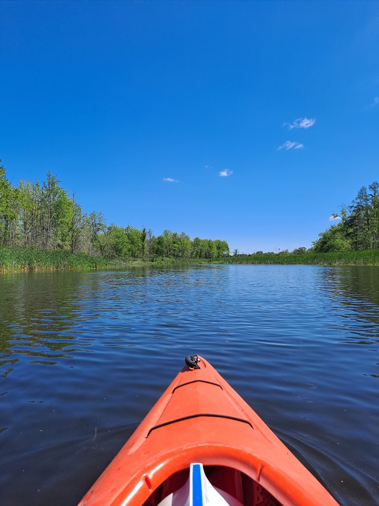
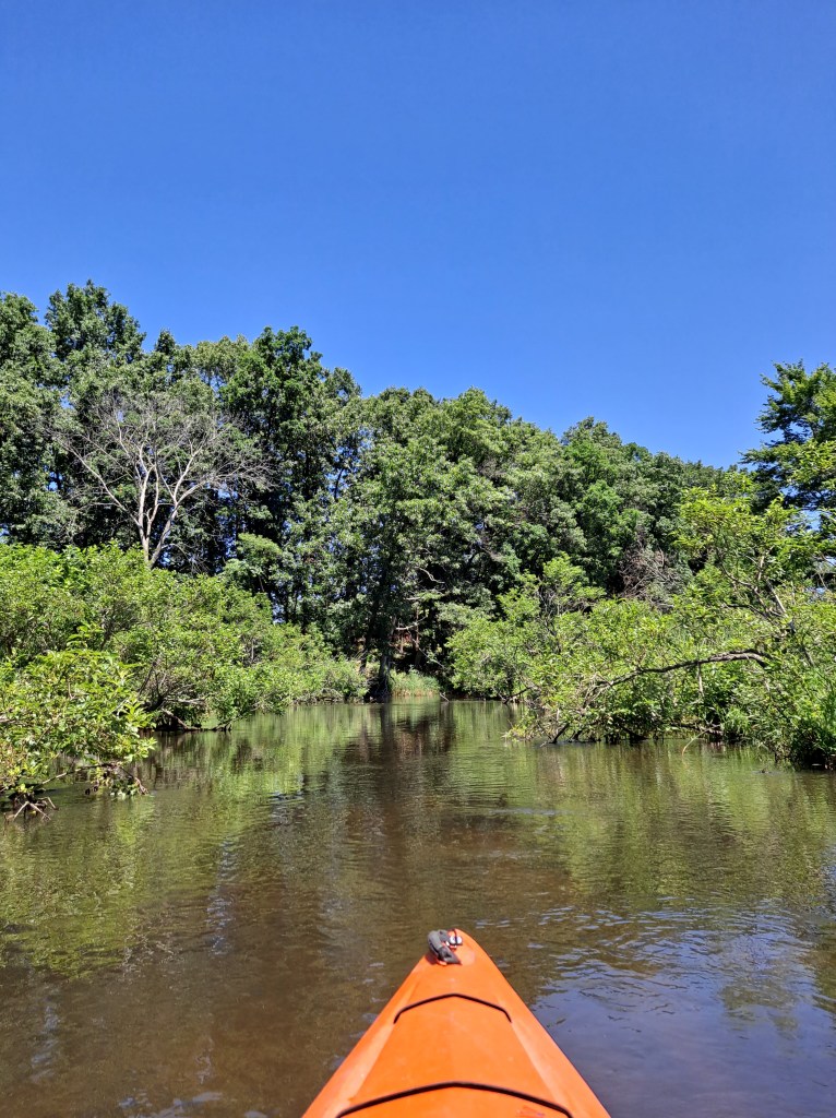
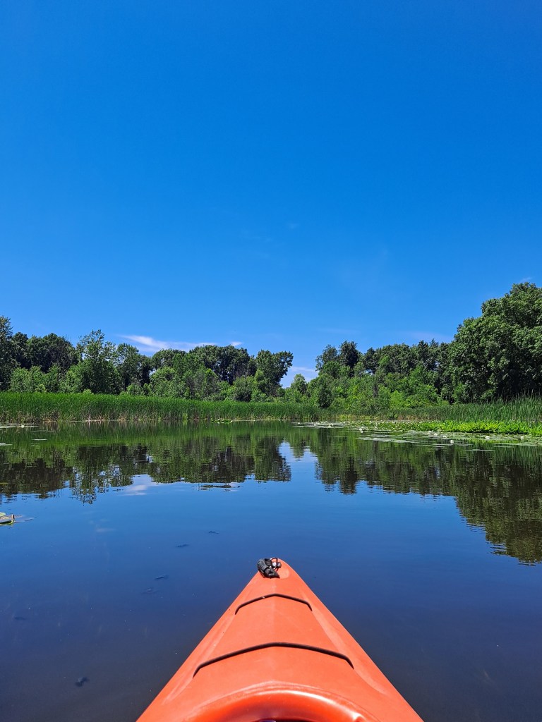
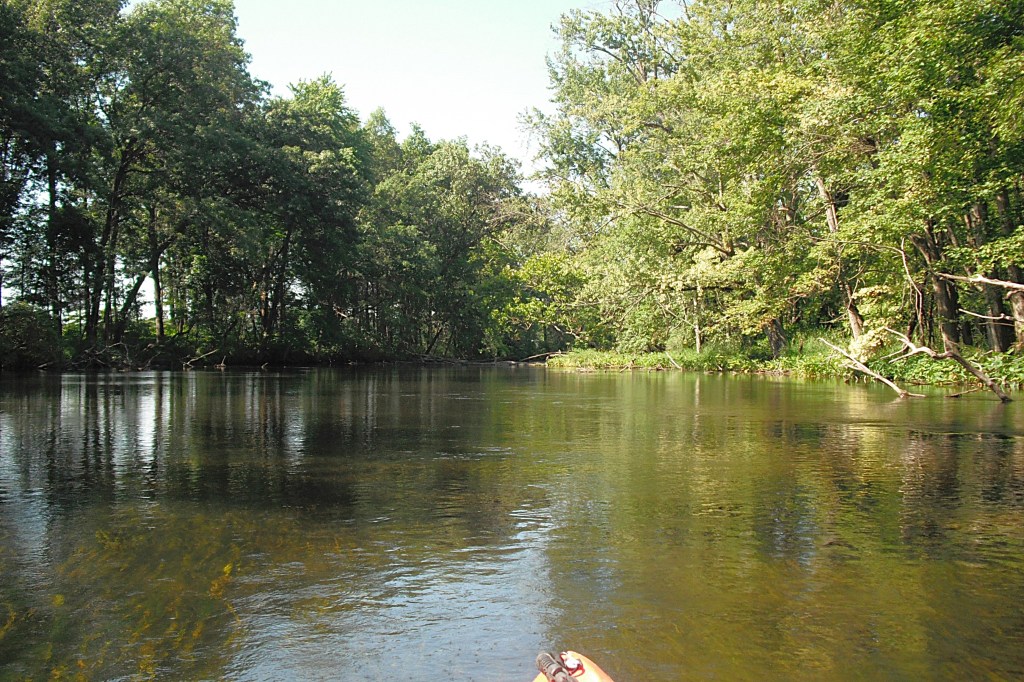
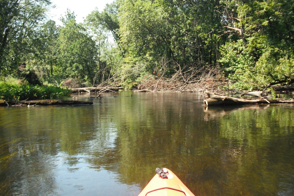
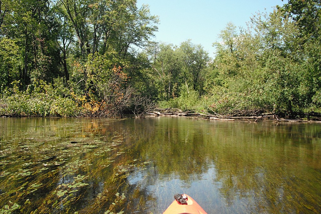
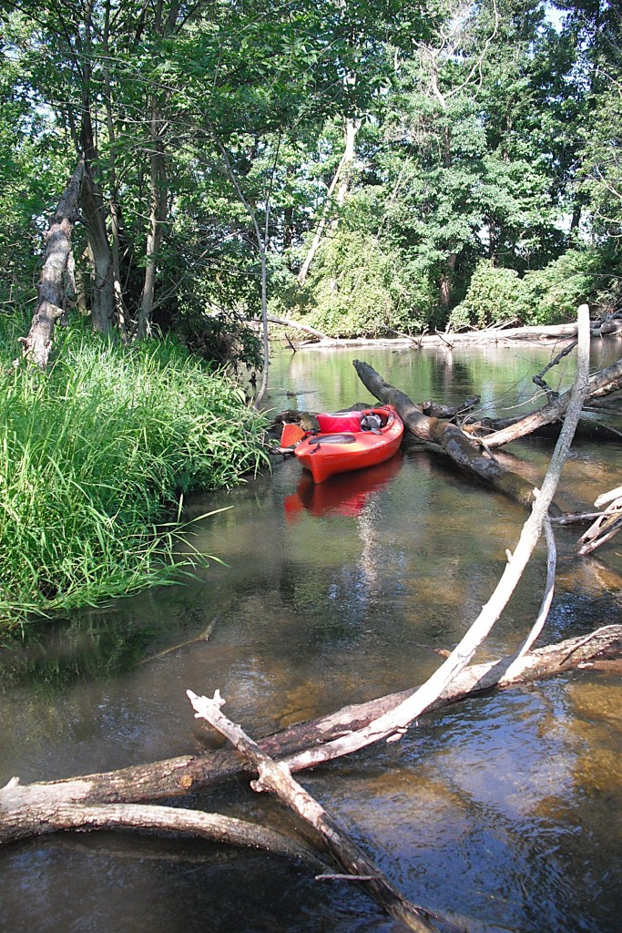
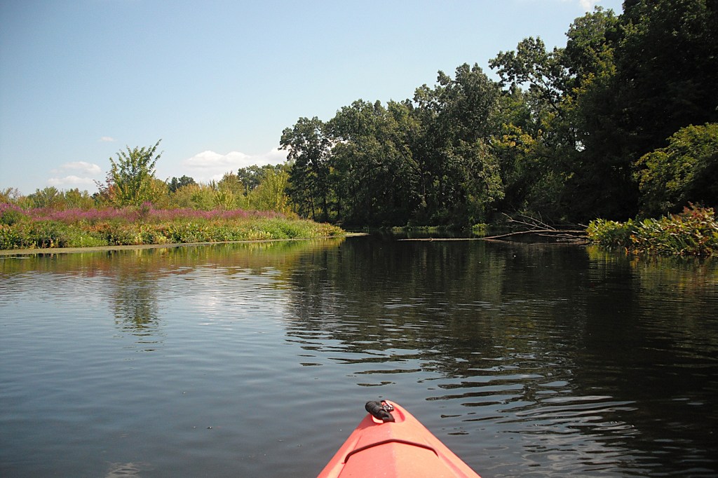
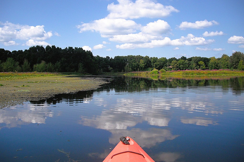
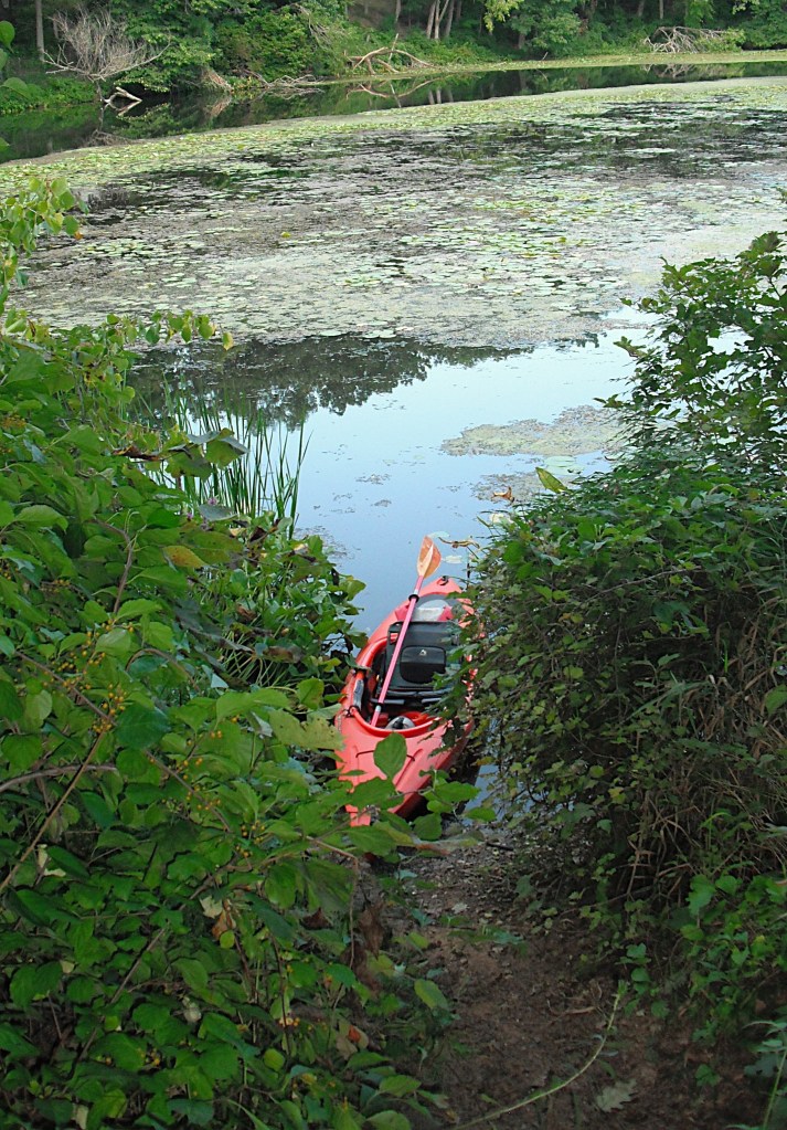
Many kayakers prefer to paddle the middle of lakes, enjoying the scenic panorama of the whole waterway. I recommend paddling the shoreline because that is where most of the wildlife is. The shallows and drop-offs of the lake coast is your own private aquarium. Many species of fish are clearly visible. Muskrat, beaver, and otter swim near shore. Waterfowl are abundant along the coastline. Many animals inhabit dry land near the shore. Among the more common that I have seen are deer, squirrels, raccoons, and chipmunks. I have spent a lot of pleasurable time exploring hidden coves and creeks that I have discovered by kayaking the shoreside. On rivers, feeder streams and bayous beg to be paddled. I hope these tips will add to your boating pleasure. I’m sure you will enjoy paddling the following scenic waterways that I have visited! There are photos and info on each destination!

The following is a list of the southwest Michigan destinations, in the order in which they appear. The photos and info begin after the list.

Fawn River, Fawn River Township, St. Joseph County

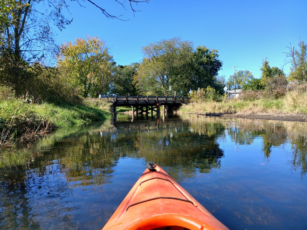
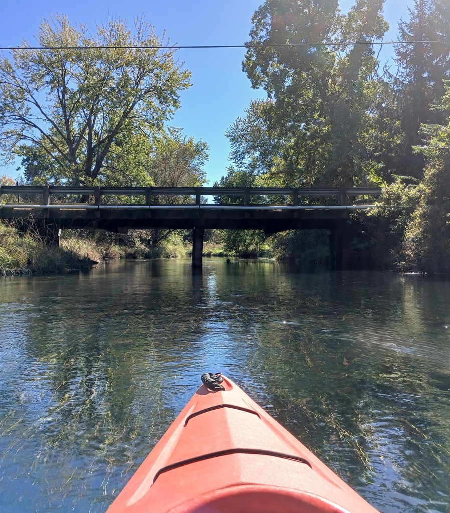
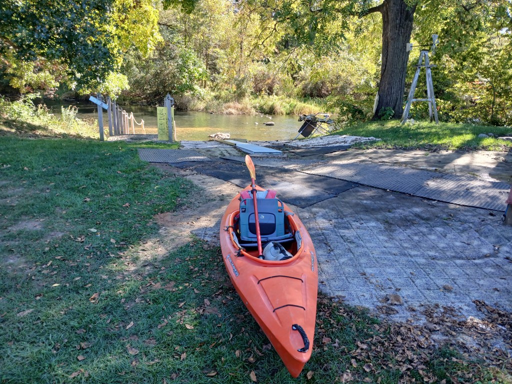
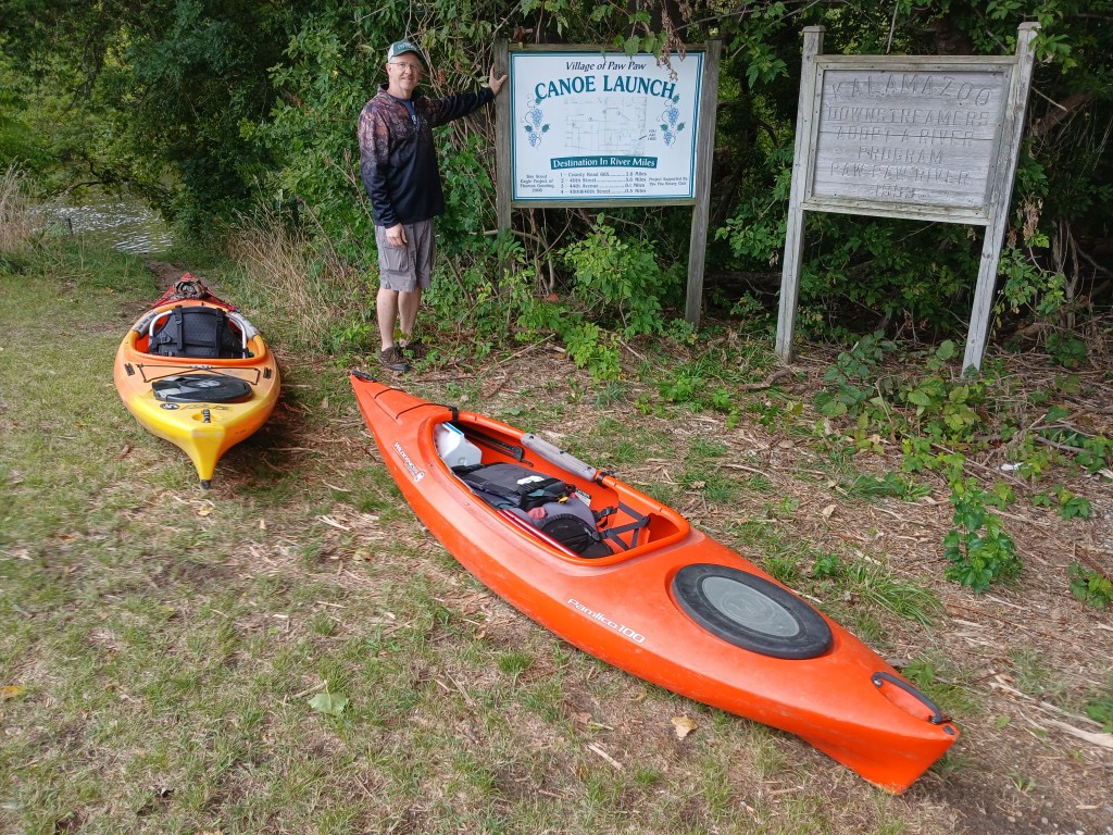
Paw Paw River, Maple Lake Dam to CR665, Van Buren County

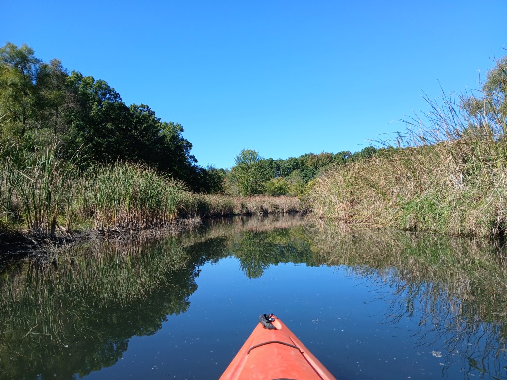
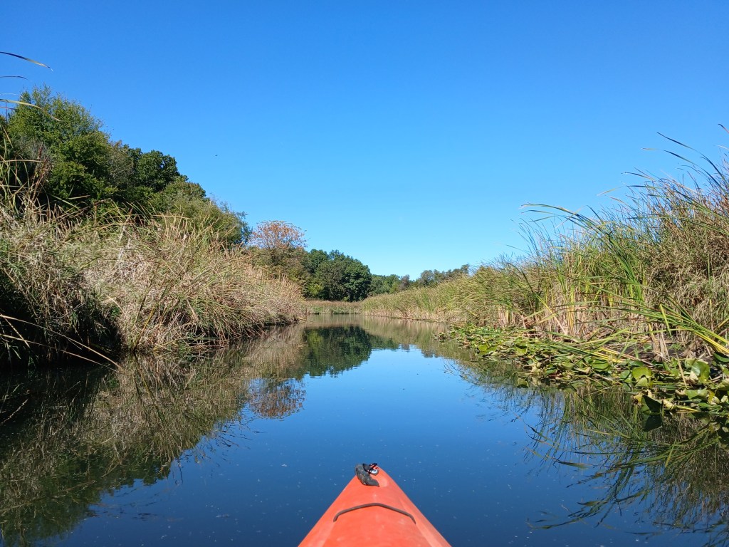
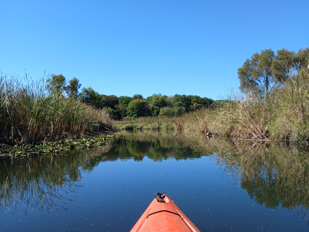
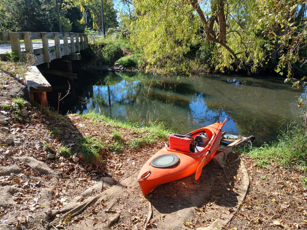
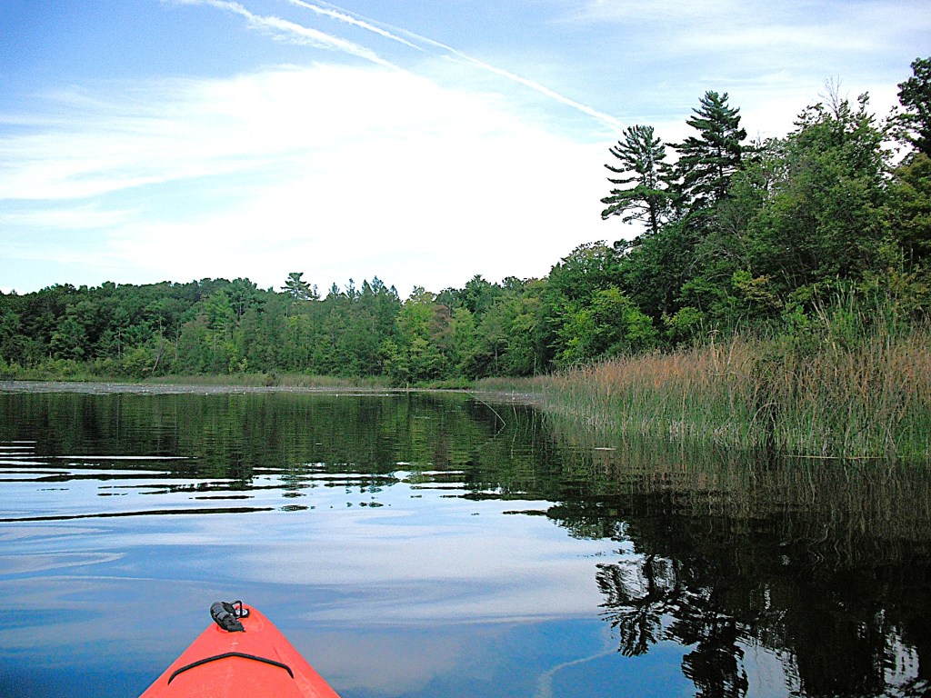
Gull Creek, Kalamazoo County

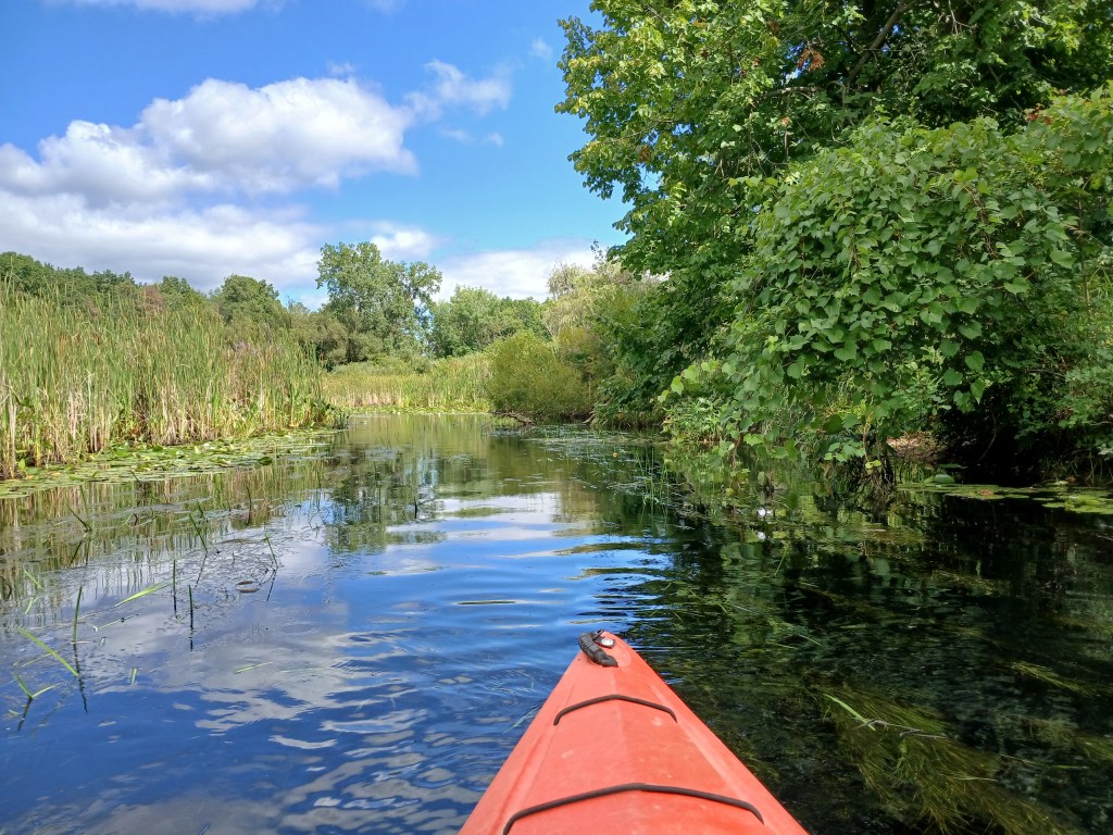
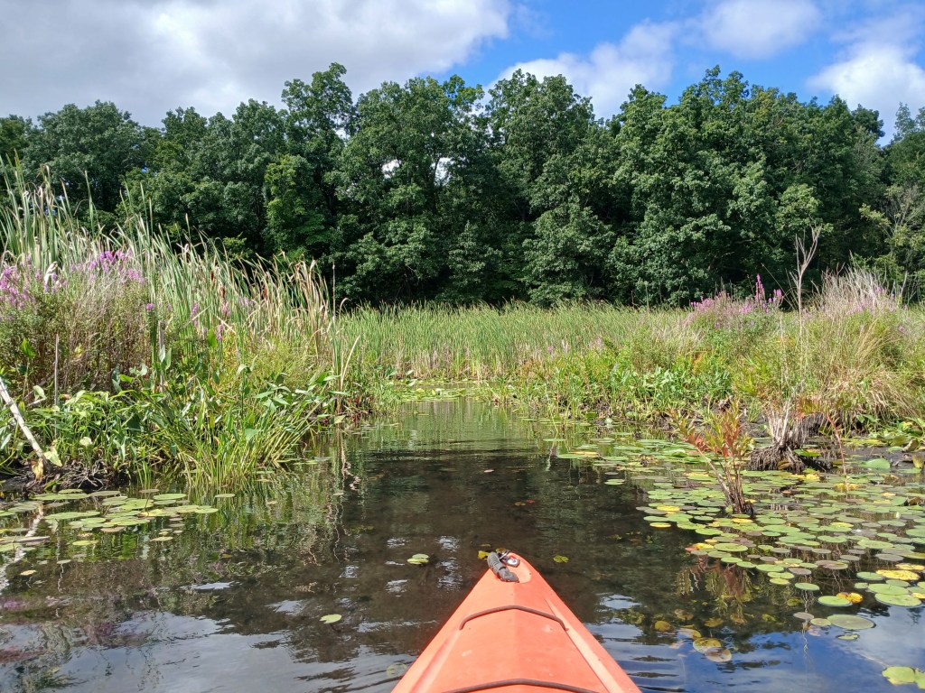
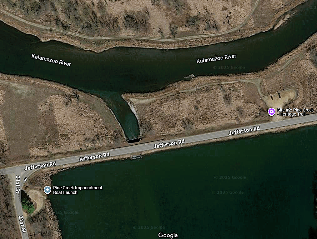
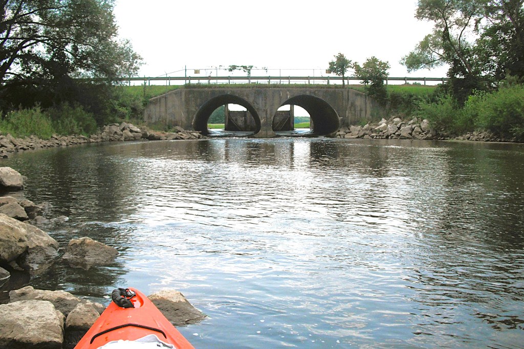
Pine Creek Impoundment and Pine Creek, Allegan County

Rabbit River, Hamilton, Allegan County

Kalamazoo River, New Richmond to Saugatuck, Allegan County

Pottawatomi Marsh, Allegan County

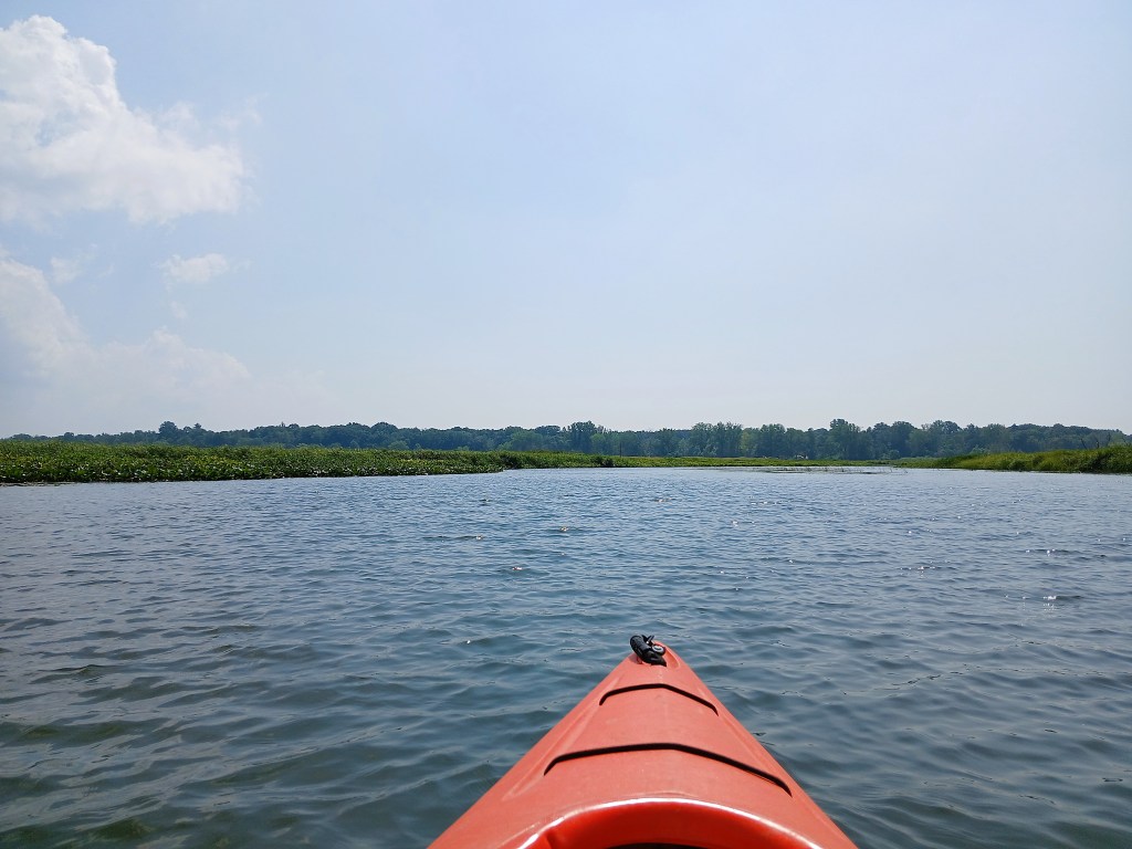
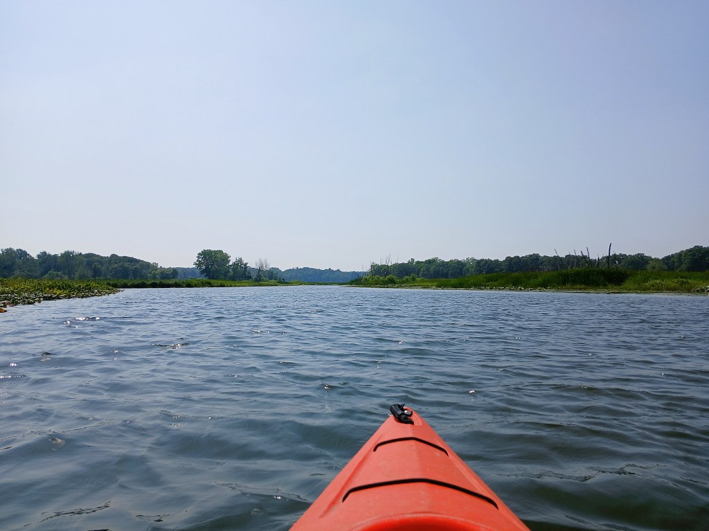
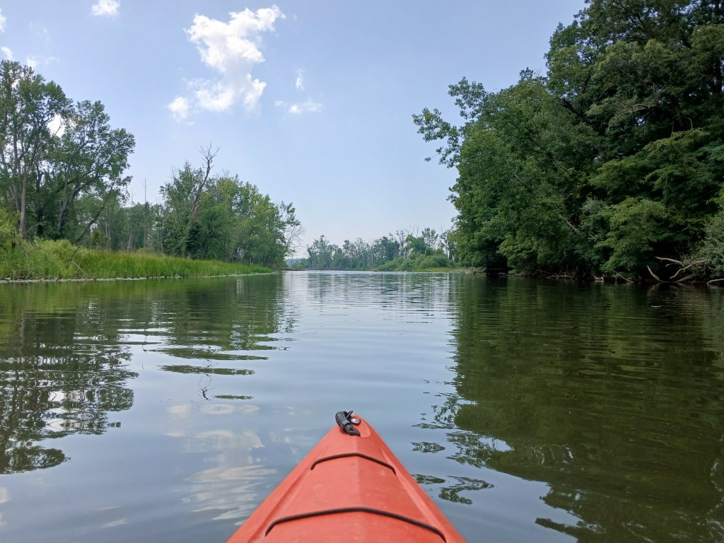
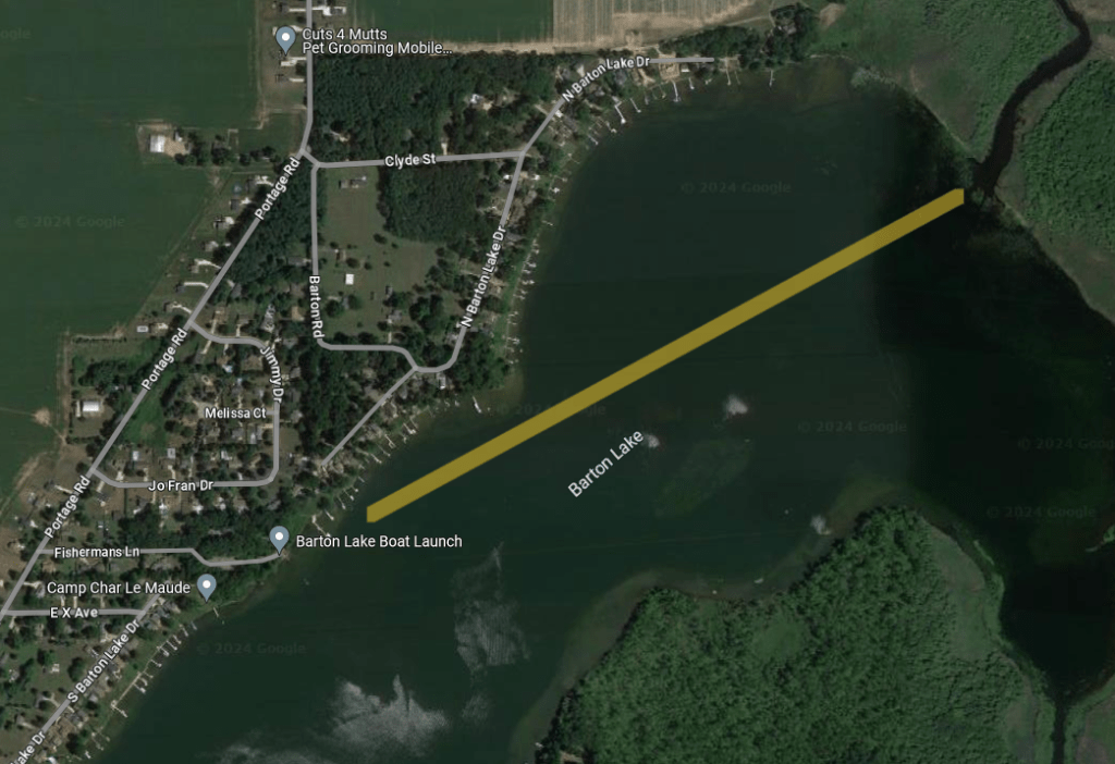
Portage Creek, Barton Lake to Vicksburg, Kalamazoo County

Portage River, North Fisher Lake Road to Three Rivers, St. Joseph County

Kalamazoo River, Albion to Marshall, Calhoun County

Thornapple River, Charlton Park to Hastings, Barry County

Kalamazoo River, Marshall to Battle Creek, Calhoun County

Morrow Lake and Kalamazoo River, Comstock Township, Kalamazoo County

Portage River, Portage Lake to North Fisher Lake Road, St. Joseph County

Rocky River, Null Road to Three Rivers, St. Joseph County

Kalamazoo River, Pipeline Landing to New Richmond, Allegan County

Ottawa Marsh, Allegan County

Black River and Lake Michigan, South Haven, Van Buren County

Black River, Family Landing to Black River Park, Van Buren County

Upper Crooked Lake, Barry County

Otis Lake, Barry County

Dowagiac River, M51 to Peavine Street, Cass County

Rupert Lake, Kalamazoo County

Portage to Three Rivers Water Trail, Kalamazoo and St. Joseph Counties

Ely and Little Tom Lakes, Allegan County

Crooked Lake, Allegan County

Portage, Blue, and Long Lakes, Charleston Township, Kalamazoo County

Three Lakes, Kalamazoo County

Gull Creek, Butterfield and Graham Lakes, Kalamazoo County

Prairie River, Centerville to Three Rivers, St. Joseph County

Kalamazoo River, Otsego to Trowbridge Dam, Allegan County

Kalamazoo River, Allegan to Lake Allegan, Allegan County

Gourdneck Creek, Gourdneck Lake to Oakland Drive, Kalamazoo County

Lake Allegan, Allegan County

Saugatuck, Allegan County

Big Fish, Lime, and Horseshoe Lakes, Mill Pond, Barry County

Lower Crooked Lake, Barry County

Swan Creek Pond and Swan Creek, Allegan County

Fort Custer State Recreation Area, Kalamazoo County

Whitford Lake, Kalamazoo County

Lawler Lake and Lawler beaver pond, Kalamazoo County

Jackson Hole Lake, Kalamazoo County

Kalamazoo River, Parchment to Cooper, Kalamazoo County

Kalamazoo River, Comstock to Parchment, Kalamazoo County

Eagle Lake, Kalamazoo County

Kalamazoo River, Plainwell to Otsego, Allegan County

Yankee Springs State Recreation Area and Barry State Game Area, Barry County

Baker and Mud Lakes, Barry County

Williams Lake, Barry County

McDonald Lake, Barry County

Spring Valley Pond, Kalamazoo County

Kalamazoo River, Battle Creek to Augusta, Calhoun and Kalamazoo Counties

Hall Lake, Barry County

Long Lake, Barry County

St. Joseph River, Colon to Mendon, St. Joseph County

Big and Little Sugarloaf Lakes, Kalamazoo County

Kalamazoo River, Augusta to Galesburg, Kalamazoo County

Deep Lake and Turner Creek, Barry County

Dagget Lake, Barry County

Kalamazoo River and Morrow Lake, City of Galesburg and Comstock Township, Kalamazoo County

Wolf Lake, Van Buren County

Kalamazoo River, Cooper to Plainwell, Kalamazoo and Allegan Counties

North Branch Paw Paw River, Van Buren County

Gull Creek and Howlandsburg Mill Pond, Kalamazoo County

Chief Noonday Lake to Gun Lake water trail, Barry County

Shaw Lake to Basset Lake Water Trail, Barry County

Kalamazoo River, Trowbridge Dam to Allegan, Allegan County

Twin Lakes, Kalamazoo County

Gourdneck Creek, Portage to Vicksburg, Kalamazoo County

Kalamazoo River, Allegan (Calkins) Dam to the Pipeline Landing, Allegan County

FAWN RIVER, FAWN RIVER TOWNSHIP, ST. JOSEPH COUNTY

WATT ROAD TO FAWN RIVER KAYAK

The headwaters of the Fawn River is in Steuben County, Indiana. The Fawn River flows into the St. Joseph River in Constantine, Michigan. The city that is closest to this trip is Sturgis, Michigan. The river is fifty five miles long.

Fawn River Kayak provided shuttle service for me and my kayak. They have a large inventory of rental kayaks. I was impressed by their customer service and I enjoyed doing business with them.

My trip took place on a weekday in early October of 2025 during a long spell of dry weather. The river level was extremely low. By viewing the exposed riverbed, I could tell that the river was at least a foot lower than normal flow. Some sections of the Fawn were difficult to paddle due to the shallow water. I recommend kayaking the river during normal water levels.

On the day of my trip, the water was very clear. Most of the river was between twenty and forty feet wide. Water depth ranged from four feet deep to less than a foot deep. The riverbank was lined with cattails and tall grasses with some lily pads.

Because of the tall vegetation, I couldn’t see much beyond the riverbank. As near as I could tell, the land was flat agricultural interspersed with wooded areas. Fawn River Kayak keeps the river clear of all garbage.

This portion of the Fawn River seemed to be in three sections. The first section was rocky. The middle section flows through the lake bed of a long-gone mill pond. The dam that created the mill pond was either washed out or removed years ago. The river reverted back to it’s original channel. I’m guessing that the rocks in this section are covered up with sediment that accumulated behind the dam. The bottom of the middle section is now mostly sand and gravel. The final section, downstream from the dam site, is rocky with some sand and gravel. The water is a little deeper than the first rocky section.

My trip began at the Watt Road bridge. A convenient boat slide made launching my kayak easy. I didn’t see any boats or people during my trip. Fawn River Kayak clears paths through fallen trees that block passage.

I didn’t take any photos of the first rocky section of the river. I was too busy dodging rocks and avoiding shallow water. I ran aground quite a few times, but I was always able to get through by using my paddle as a push pole. I don’t like to abuse my paddle, but it was the only way. In hindsight, I should have gotten out of my kayak and dragged it over the rocks.

The middle section is smooth sailing, but keep an eye out for shallow water.

There are only a few places to get out of your kayak for a break. If you happen upon a likely spot, take advantage of it.

The first bridge down river from the Watt Road bridge is a Fawn River Road bridge. The dam was located at the bridge. Remnants of the structure are still visible. There is a small rapids at the bridge.

Downstream from the dam site, the river bottom turns rocky. I found that the rocks and shallow water were easy to navigate in this section of the river.

Next up is the Carls Road bridge.

Continuing on down the river, a Fawn River Road bridge spans the river for a second time.

Around a couple of bends, the boat landing for Fawn River Kayak is on the right (north) side of the river, marking the end of this trip. Steps and a water slide with rollers leads to the top of a hill and the parking area.

Fawn River Kayak offers another trip, beginning at their boat landing and ending at the Big Hill Road bridge. I’ll be taking that trip next spring.

PAW PAW RIVER, MAPLE LAKE DAM TO CR665, VAN BUREN COUNTY

The Paw Paw River has been on my radar for quite some time. I finally made a trip happen in early September of 2025. I teamed up with my friend Dan on this trip and we provided our own car spotting. Dan is a veteran kayaker.

This trip begins at the Maple Lake Dam in Paw Paw Township, north of the village of Paw Paw.

Head east on 51st Avenue from Highway M40. The road travels over the dam. Parking and unloading are on the south side of the road, east of the dam. The path to the river is on the north side of the road, east of the dam. The downhill path is in pretty good shape except the last ten feet. We took our time and arrived at the water’s edge without incident.

A view of the pool below the dam, looking downstream:

The water level was low at the time of our voyage. If conditions are the same when you make your trip, then keep your eyes peeled at all times for shallow water. Running aground frequently is not much fun.

The current in this section varies between slow and moderate. The river averages twenty to forty feet in width. The bottom is mostly sand and gravel with very few rocks.

The many fallen trees in the river will challenge kayakers.

Fortunately for paddlers, volunteers provide river maintenance periodically. A thank you goes out to those volunteers for their hard work in keeping the river open for kayakers. Pathways through the trees have been cleared, but be prepared to do a lot of maneuvering. We made it through our trip without portaging.

It’s not all work. Some stretches of the river are free of downed trees.

Places to get out of your kayak to take a break are plentiful.

The character of the river will change during periods of higher water levels.

The trip ends at the CR665 bridge, between Fisk Road and 44th Avenue. Parking and river access are on the east side of the road, on the south side of the river. When approaching the bridge by kayak, the access is between the bridge and a fallen tree. At first glance, it looks difficult to reach the access. It’s easy. The downed tree breaks the current, allowing you to glide right into the riverbank. The steep bank at the water’s edge means kayakers will have to disembark in the river. A narrow uphill path leads to the road. The first ten feet of the path isn’t in very good condition. Take your time.

We enjoyed the challenge of the Paw Paw River. Kayaking a new water trail is always special.

GULL CREEK, KALAMAZOO COUNTY

THREE LAKES TO GREER ROAD

Gull Creek is part of the Kalamazoo River watershed. On its way from Gull Lake to the Kalamazoo River, the creek flows through the Three Lakes chain. This trip follows the creek as it meanders through wetlands between Greer Road and Three Lakes.

The starting point for this trip is the public access for the east lake of the Three Lakes chain, located on the east side of 35th Street between EF Avenue and FG Avenue. Look for a small gravel parking lot with a launch area underneath a big willow tree. A narrow channel takes kayakers through the lily pads to the open waters of the lake basin.

Go to the northeast end of the lake. The beginning of the creek channel is on the other side of a large field of lily pads.

Paddling through the pads is quite a chore, but it’s the only way to get to the creek. It’s easy to paddle upstream against the slow current of the creek.

At the time of my voyage, the water level in the creek was low, so I had to keep an eye out for shallow water. Running aground is hard to avoid if you stray from the channel into the shallows.

In some places, side channels branch off from the main creek channel. Deciding which way to go can be difficult. I tried to take the channel with the most current flowing through it, but that didn’t always work. I had to turn around and try another way a couple times. It’s all part of exploring!

A couple homes have frontage on the creek, but I didn’t see any signs of activity.

This portion of Gull Creek varies in width from eight feet to twenty feet or more. The wide parts are also shallower. It may take some searching to find water deep enough to float your boat through these wide shallow areas. Hopefully, the water level will be higher when you take this trip.

One bridge spans the creek. Ducking your head will give you plenty of room to clear the bridge. If the water level is high, slouching down will give you more clearance.

The creek flows through a culvert under a driveway.

I had to pull myself through the narrow culvert by hand.

A short distance upstream from the culvert, a willow tree blocks part of the creek. Between the tree and the creek bank, the water was only a couple inches deep. I could have easily gotten out of my kayak and pulled it through, but I elected to turn around.

I was close to the Greer Road bridge. There is a place upstream from the bridge to land a kayak. On my most recent trip, I drove my car to the bridge to check it out. A beaver dam under the bridge prevented passage to the landing area. Another good reason to turn around.

Heading downstream allowed me to enjoy the scenery for a second time.

I only made one wrong turn and it was easy to get back on the right track. Slogging through those lily pads at the creek mouth again was not my favorite part of the trip. Paddling across the lake back to the landing was scenic. Kayaking a small stream is a great way to spend time on the water!

PINE CREEK IMPOUNDMENT AND PINE CREEK, ALLEGAN COUNTY

The Pine Creek watershed covers 236 square miles. Baseline Creek, Mentha Drain, and Sand Creek are tributaries of Pine Creek. The navigable portion of Pine Creek is accessed from Pine Creek Impoundment. The lake is located west of Otsego on Jefferson Road in Otsego Township, Allegan County. Pine Creek is part of the Kalamazoo River watershed. The haze in some of the photos is smoke from Canadian wildfires.

Jefferson Road is south of the Kalamazoo River and parallel to it. Pine Creek Impoundment is across the road from the river. Pine Creek flows out of the impoundment at a water level control structure next to the south side of Jefferson Road. The water flows over the control boards of the structure and through two large culverts under Jefferson Road. Then, the creek empties into the Kalamazoo River.

The impoundment is drawn down once every five years for fish and wildlife habitat improvement and sediment control. Check with Otsego Township or the Michigan DNR when planning a trip. During a Kalamazoo River kayak trip, I paddled up Pine Creek for a look at the dam. The control boards were removed and the lake had been drained.

The land surrounding the impoundment and bordering the creek is private property, no trespassing. The creek flows through a swamp. I could not find a decent place to get out of my kayak and take a break. Maybe you’ll have better luck.

The Pine Creek Impoundment boat landing is located on the corner of Jefferson Road and 21st Street. The landing features the boat ramp along with a vault toilet and a small parking area. Jefferson Road and the water level control structure can be seen in the background.

I took my trip on a weekday in early June and my kayak was the only boat on the lake. Watch for shallow water. It’s easy to get stuck in the mud. On some portions of the impoundment, aquatic vegetation can be excessive. I easily explored everyplace that looked interesting, regardless of the vegetation. I thought that the water in the impoundment was cloudy and turbid. The lake looked dirty.

Head south on the impoundment toward the creek.

As you head south, the lake gets narrower and the east side of the impoundment deserves exploration.

The water clears up when the impoundment transitions to the creek.

The current in the creek is very slow and the bottom is mud. Paddling upstream on the creek is the best part of the trip.

Eventually, the creek narrows and fallen trees will challenge kayakers. I turned around when several trees blocked the creek from bank to bank. I did not try to portage. The mud bottom and the swampy terrain kept me in my kayak. Paddling downstream on the creek to the impoundment was just as enjoyable as the upstream portion of the trip.

I thought that the waters of the Pine Creek Impoundment were not very appealing at times. The southeast end of the lake was fun to explore. The scenery of Pine Creek was exceptional. Load up your kayaks and go!

RABBIT RIVER, ALLEGAN COUNTY, HAMILTON

Hamilton is a small town on Highway M40, between Allegan and Holland, in Allegan County. The Rabbit River flows through town on its way to the Kalamazoo River near New Richmond. The river access is a Heath Township park named Schutmaat Park. It’s better known as Trestle Park. The park is at the end of Willyard Street. The features of the park are the railroad trestle and the dam. The boat ramp is above the dam.

This trip explores the backwaters of the dam and the river upstream from the backwaters. The river portion of the trip was about a mile in length as the crow flies. It’s a bit longer than that in river miles. The voyage then returns to the boat ramp.

After paddling under the trestle, the waterway splits in two. To the right, northeast, the dam has created a scenic lake.

To the left, north-northeast, the backwater handles the primary flow of the river. Eight hundred feet upstream from the trestle, a short, wide channel branches off to the northwest and opens up into a good sized lake. Much of the shallow lake is covered with aquatic vegetation, but it’s still fun to explore.

After returning to the river, turn left and resume the north-northeast course. It’s easy to paddle upstream against the light current.

Some of the downed trees were challenging to paddle through or around, but I never had to portage.

Eventually, a massive tangle of fallen trees stopped my progress.

I reluctantly turned around and paddled back to the boat ramp, enjoying the beauty of the river for a second time. The scenery of the Rabbit River is hard to beat!

KALAMAZOO RIVER, NEW RICHMOND TO SAUGATUCK, ALLEGAN COUNTY

I was unable to photograph while kayaking this trip. I used shoreline photos that were taken from a variety of vantage points along the river.

New Richmond County Park is a great place to start a voyage.

The park features two historic bridges, boardwalks, picnic tables, a boat ramp, and a clean vault toilet. I recommend taking a tour of the park before launching your boat.

Downstream from the landing, a small oxbow lake is on the east (left) side of the river. Farther downstream, the 58th Street bridge spans the river. This bridge was built to replace the old New Richmond swing bridge. Just upstream from the 58th Street bridge, on the north (right) side of the river, there is a small bayou to explore.

Continuing down the river, the Kalamazoo enters the Pottawatomi Marsh.

Kayakers can choose between two different river channels through the marsh: Indian Cut to the north or Morrison Bayou to the south.

I recommend checking satellite photos on Google Maps to familiarize yourself with the layout of the marsh and the channels. This will help you decide which channel to take. I have published a post titled “Pottawatomi Marsh, Allegan County”. The post has detailed info and photos about kayaking the marsh.

The two channels converge just upstream from the Hacklander Landing. This MDNR Kalamazoo River Access Site is a good place to take a break. Vault toilet.

The river leaves the huge marsh behind at the US31/I196 bridge. Immediately after passing under the bridge is Schultz Park. The boat landing at the park is the first of three landings to end the trip. Restrooms.

After passing Schultz Park, the Kalamazoo River flows through a lake called Wades Bayou.

A boat landing at Wades Bayou Memorial Park is the second of three landings to end the trip. Restrooms.

The river leaves Wades Bayou at the Blue Star Highway bridge and flows into Kalamazoo Lake. Bear to the left after paddling under the bridge and you will arrive at the Union Street Landing, the third of three landings to end the trip. Downtown Saugatuck is straight across the lake.

POTTAWATOMI MARSH, ALLEGAN COUNTY

The Pottawatomi Marsh lies within Saugatuck and Manlius Townships, between New Richmond and Douglas in western Allegan County. The Kalamazoo River flows through the north end of the wetland. The Morrison Bayou branches off the river in the northeast corner of the marsh and rejoins the river in the southwest corner of the marsh, creating a circle tour for kayakers.

I’ll be the first to admit that parts of this trip can be monotonous. Some boaters may find that kayaking long distances through swampy terrain is boring. I found that the scenery of the marsh was in sharp contrast to the geography of most of my trips. I enjoyed the difference.

Throughout most of the circle tour, the Pottawatomi Marsh is treeless. Skeletons of dead trees are scattered around the wetland. The shoreline is mostly cattails, grasses, lily pads, and brush. Two areas of wooded riverbank are at the northeast and the northwest corners of the circle tour. The water clarity of the swamp is mostly cloudy. It’s easy to run aground on the many sandbars if you aren’t paying attention. Places to get out of your kayak and take a break are limited and dependent on water level. The current ranges from slow to moderate. I’m an old fart in my early seventies and I had no problem navigating against the current. Remember, the last half of the circle tour is downstream. It’s somewhat easier paddling.

Waterfowl constitutes most of the wildlife in the Pottawatomi Marsh: ducks, geese, herons, and snowy egrets. Birds of prey soared overhead, but they were too far away for me to identify.

The boat landing for this trip is the MDNR Hacklander Landing. The entrance to this Kalamazoo River access is at the intersection of 130th Avenue, Riverside Road, and 63rd Street. The landing features a concrete boat ramp, a dock, and a vault toilet. A very short channel leads to the river.

The Kalamazoo River and the Morrison Bayou join together at the landing. Since this is a circle tour, it doesn’t matter which waterway a kayaker chooses to start on. Both choices cover the same water, only in different directions. Both trips head upstream from the landing. I arbitrarily chose to start out on the Morrison Bayou.

Shortly after leaving the landing, the south riverbank is occupied by the Deep Harbor Marina and the Riverside Estates Mobile Home Community.

Continuing upstream, the bayou snakes its way through the marsh.

Trees in the distance indicate that the Kalamazoo River is getting closer.

Just before I turned west (left) from the Morrison Bayou to the Kalamazoo River, a conveniently located sandbar offered a place to stop for an extended break. This is the last chance to get out of your kayak until the boat landing.

A look upstream at the Kalamazoo River:

A view downstream at the Morrison Bayou:

I felt rejuvenated after the break and paddled with renewed energy. The wooded riverbanks were a welcome change of scenery.

When the shoreline transitions from woods to marsh, the river splits in two around an island. Take the channel on the right. The left channel is wider with less trees in the water, but it is blocked by fallen trees farther downstream. How do I know all this? I went the wrong way!

After a series of curves, the Kalamazoo heads west on the north side of the marsh.

The river changes directions and flows south along a wooded shoreline.

The scenery returns to marshland.

When the Morrison Bayou joins the Kalamazoo River, the boat landing is on the south riverbank, marking the end of the trip. It’s difficult to see the bayou and the landing from a distance. The bayou is on the left and the landing is at the narrower channel that’s just left of center in the photo:

A circle tour is a great way to see the Pottawatomi Marsh. If you’re looking for a different kayaking experience, then this wetland is for you.

PORTAGE CREEK, BARTON LAKE TO VICKSBURG, KALAMAZOO COUNTY

Kalamazoo County is home to two Portage Creeks. One is in the Kalamazoo River watershed. This Portage Creek is in the St. Joseph River watershed. I originally planned to kayak Portage Creek from Sunset Lake in Vicksburg to Barton Lake. I soon found out that the creek was not navigable for the first mile downstream from the Sunset Lake dam. There were too many downed trees to contend with. Instead, I kayaked upstream from Barton Lake to Vicksburg and returned to Barton Lake.

The creek is bordered by wetlands, mostly cattail marsh. The stream meanders a lot. I found it easy to paddle against the light current of the creek.

The MDNR Barton Lake Public Access is off Portage Road, Between W Avenue and X Avenue, at the end of Fisherman’s Lane.

Head northeast from the boat landing to Portage Creek. It’s a one mile paddle. The creek mouth is difficult to spot from a distance because the shoreline all looks the same – cattail marsh. There aren’t any landmarks to go by.

Upstream from the creek mouth, the waterway is wide with very little current.

The stream flows through Angel’s Crossing Golf Club and some of the course can be seen from the creek. The clubhouse and a few residences are visible, but most of the creek banks are undeveloped.

Continuing upstream, the creek gradually narrows. A covered bridge spans the creek.

The stream passes through a pair of navigable culverts.

There are some tree branches and tree limbs in the water, but they were easy to paddle around or through. I never had to portage. I found the marshland to be very scenic.

My progress was halted by a big willow tree that blew down across the creek.

I decided to to turn around and head back to Barton Lake. If I was really determined, I could have found a way through, but it would have been difficult. A little ways upstream from the willow, the downed trees become more frequent. Another good reason to turn back. On the return trip, drifting with the current in the upper portion of the creek is a good way to rest up for paddling the no-current lower portion of the creek and the one mile Barton Lake crossing. Kayaking a small stream through picturesque wetlands is a great way to spend an afternoon!

PORTAGE RIVER, NORTH FISHER LAKE ROAD TO THREE RIVERS, ST. JOSEPH COUNTY

This stretch of the Portage River offers some challenges, but it’s not too difficult for beginners. There is a dam to be portaged. The river averages about fifty feet wide and is one to three feet deep over a sand and gravel bottom. There are some deeper holes.

The Portage River flows through a agricultural region. The riverbanks are lined with hardwoods. There are swampy areas scattered along the shore.

Northeast of Three Rivers, the North Fisher Lake Road bridge marks the start of the trip. A small launch area is on the east side of the road, on the north side of the river. Parking is on the side of the road.

There is no shortage of fallen trees in the river. Most of the trees are easy to maneuver around.

There is the occasional downed tree that is difficult to negotiate.

I only had to portage over trees once.

Downstream from the South Fisher Lake Road bridge, the river enters open country, widens, and divides into several channels.

Keep an eye out for shallow water. It’s easy to run aground here. The channels eventually combine, farther downstream.

The current will slow as the river enters Hoffman Lake, a backwater of the Boy’s Dam.

When approaching the dam, the portage is on the left. It’s a small opening in the shoreline brush.

A path leads to the top of a small hill and continues on to the dam. The trail descends a steep hill down to the river.

Below the dam, the river moves at a moderate to fast pace. Watch out for rocks. There are some fallen trees to negotiate as the river winds its way through the City of Three Rivers. Most of the city is hidden from view by trees and brush along the riverbanks.

Downstream from the dam, the Portage River passes under three bridges before it flows into the St. Joseph River. Hang a right after you pass the wall.

Follow the St. Joe downstream as it flows under the Main Street bridge and a railroad bridge.

Continue downstream. The trip ends at the Conservation Park boat ramp, on the east (left) side of the river.