GULL CREEK and HOWLANDSBURG MILL POND, KALAMAZOO COUNTY

I bet most of you have never heard of this lake! Howlandsburg Mill Pond is an impoundment of Gull Creek. It’s in Ross Township, on the corner of East G Avenue and 37th Street. Howlandsburg, settled in 1834, was once a thriving village with a flour mill and a sawmill, both powered by Gull Creek. Today, all that remains of the once flourishing community is the mill pond and some homes.

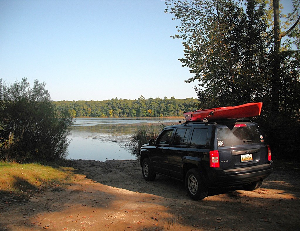
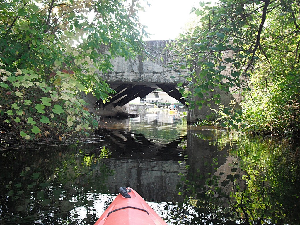
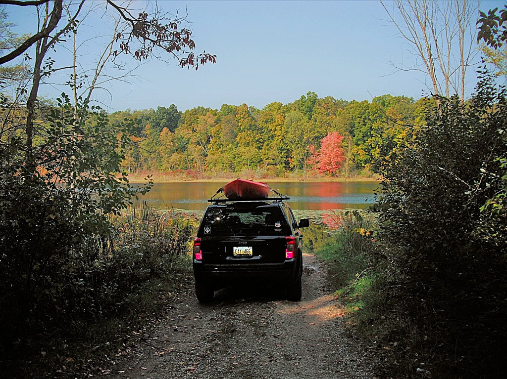
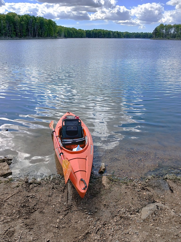
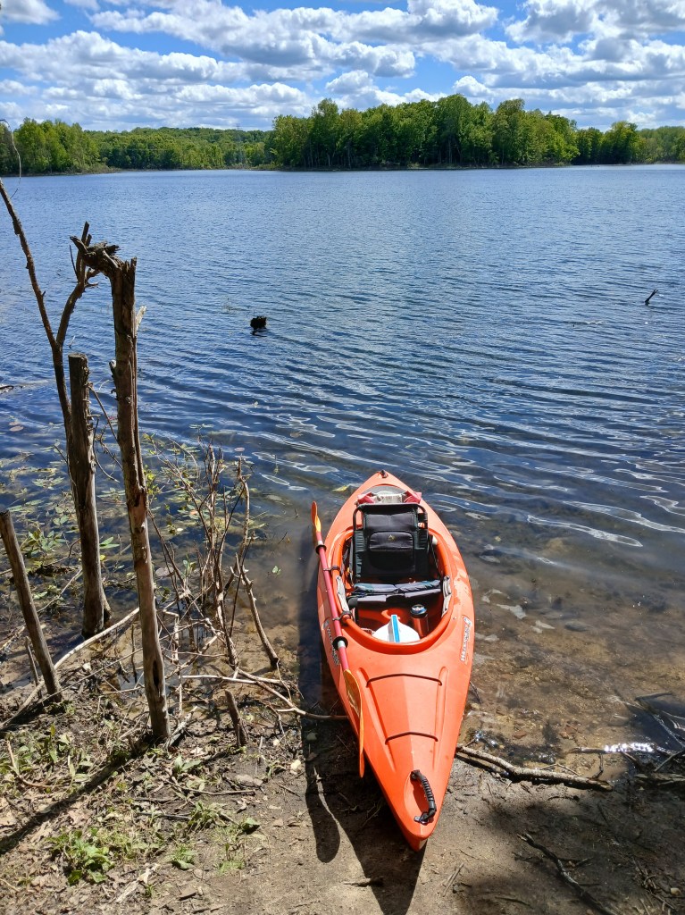
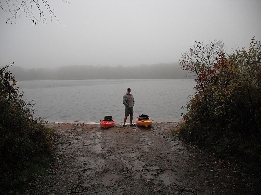
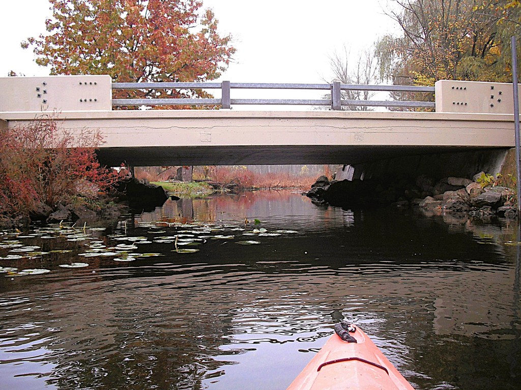
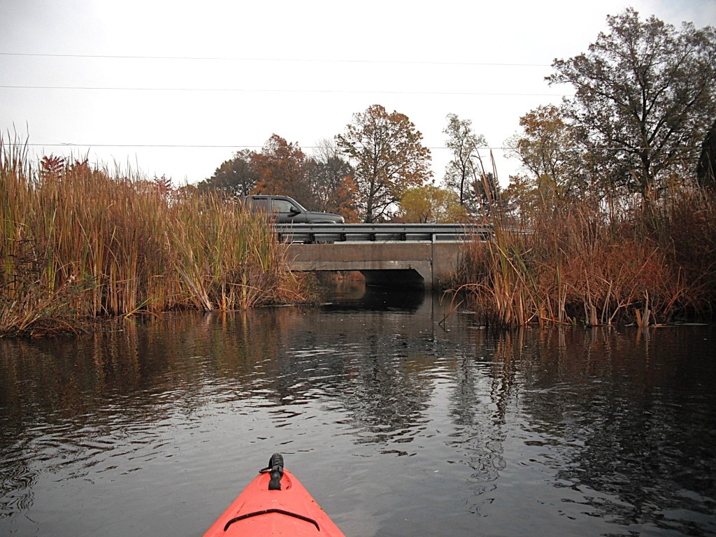
I launched my kayak at the 37th Street bridge over Gull Creek. It is located at the corner of Greer Road and 37th Street, north of East G Avenue. The best spot seemed to be the south side of the creek, downstream from the bridge.

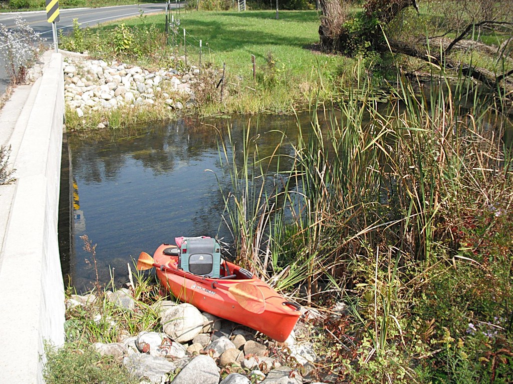
The site is less than ideal, a small hill lined with big rocks that move underfoot. Use caution. I investigated the upstream side, but there wasn’t enough clearance under the bridge. Parking is on the side of the road. The safest place to park is on Greer Road, a short walk away.

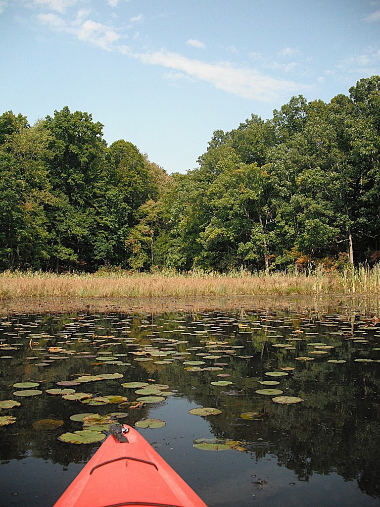
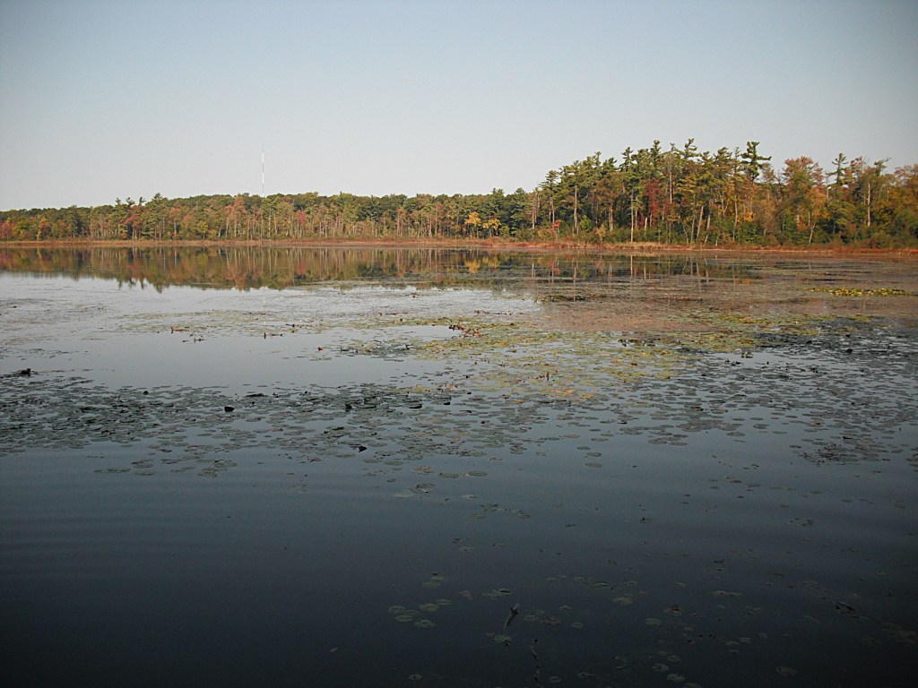
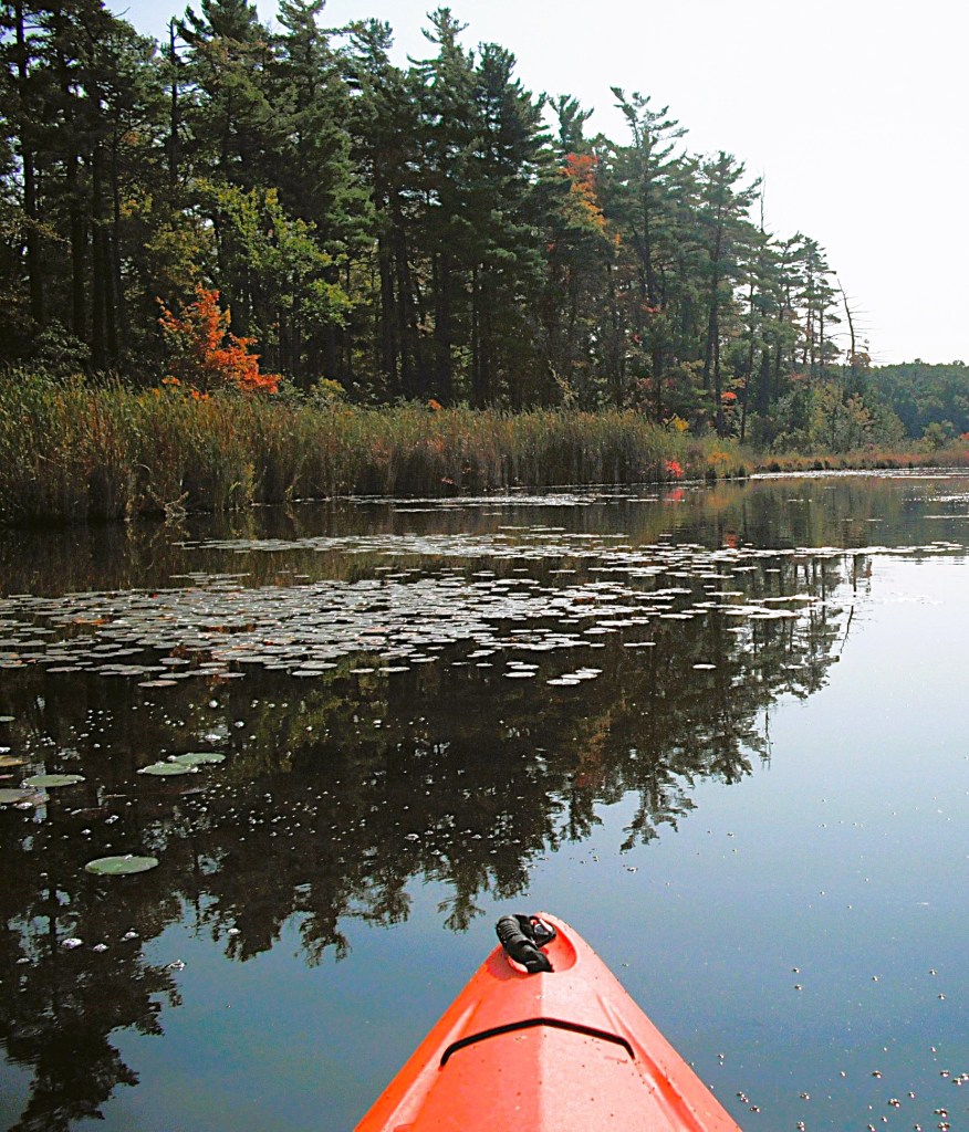
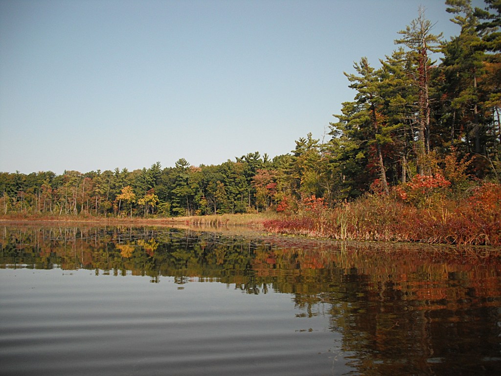
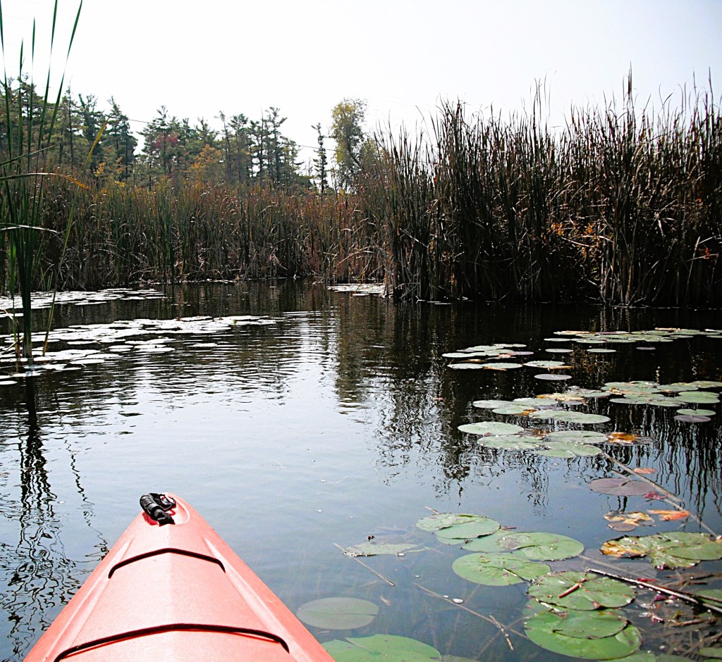
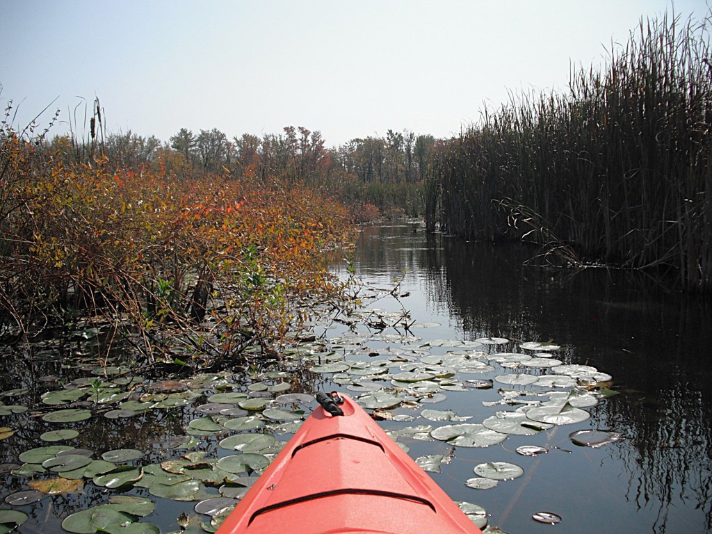
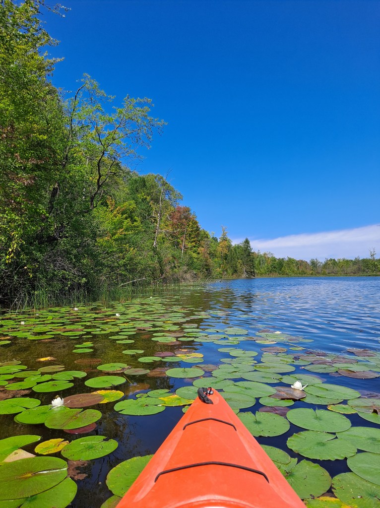
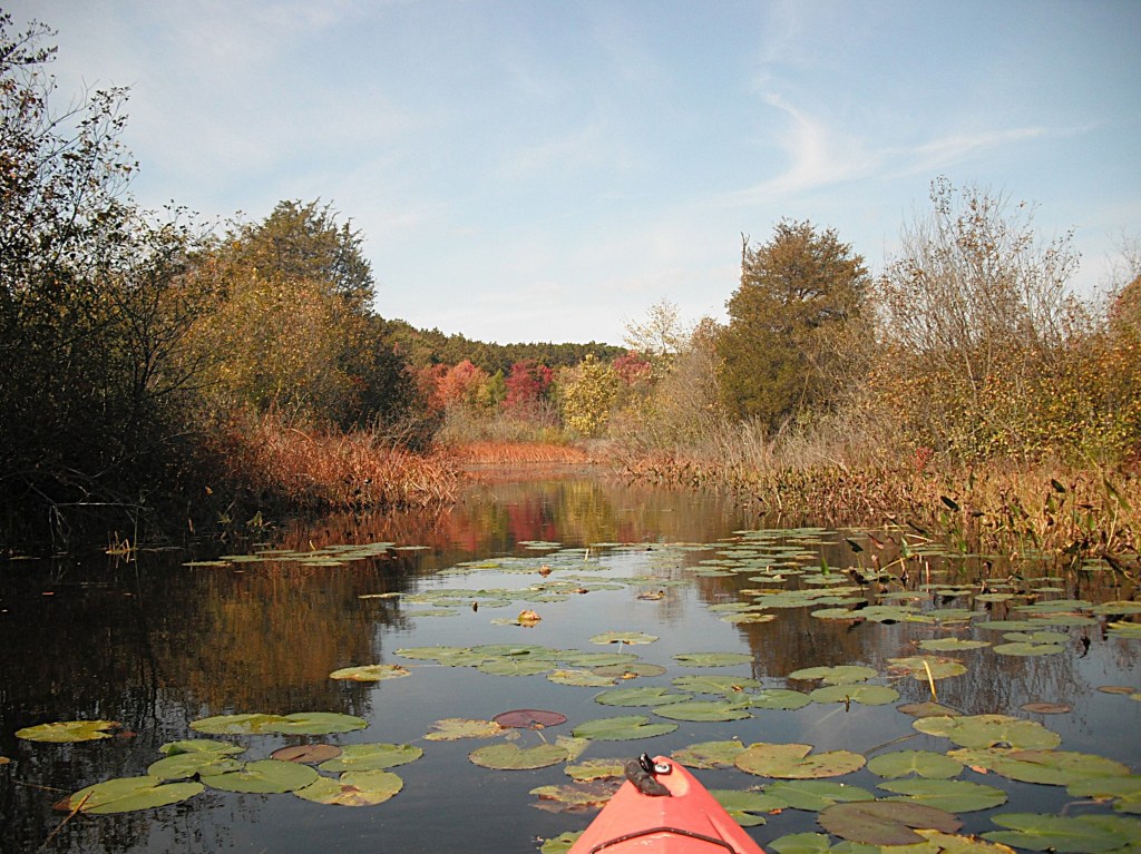
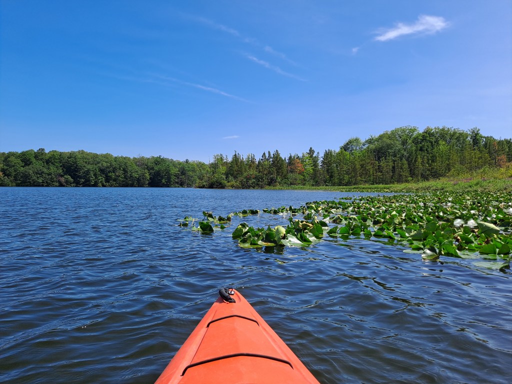
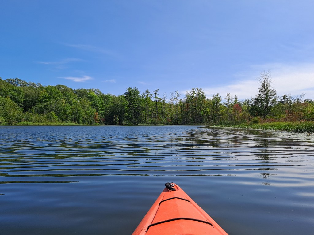
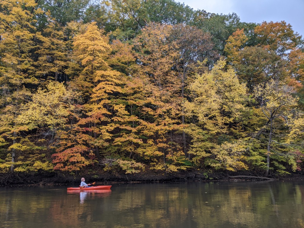
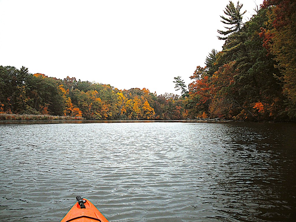
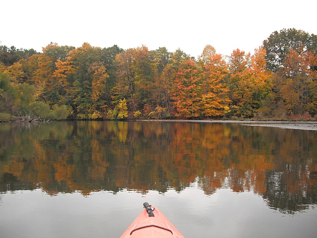
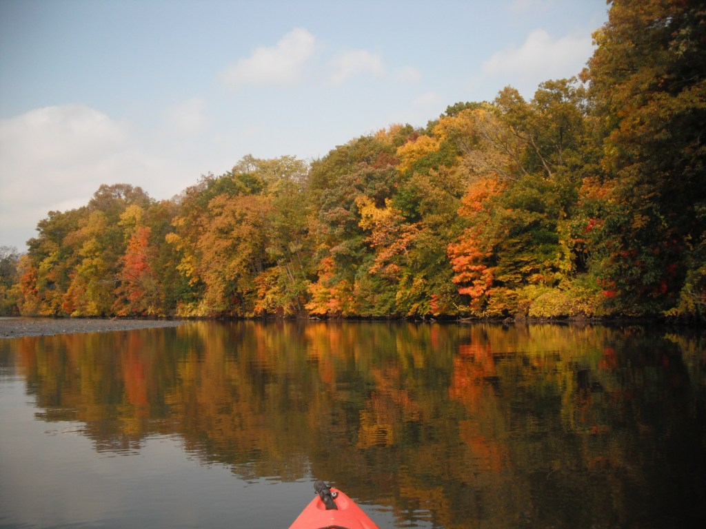
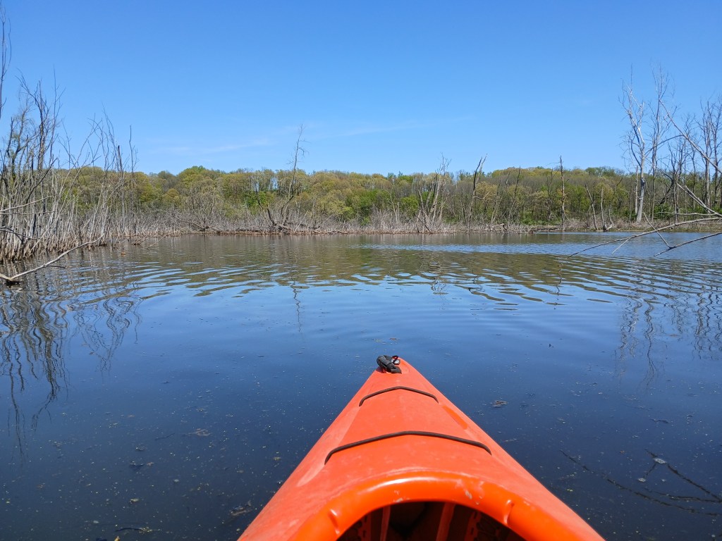
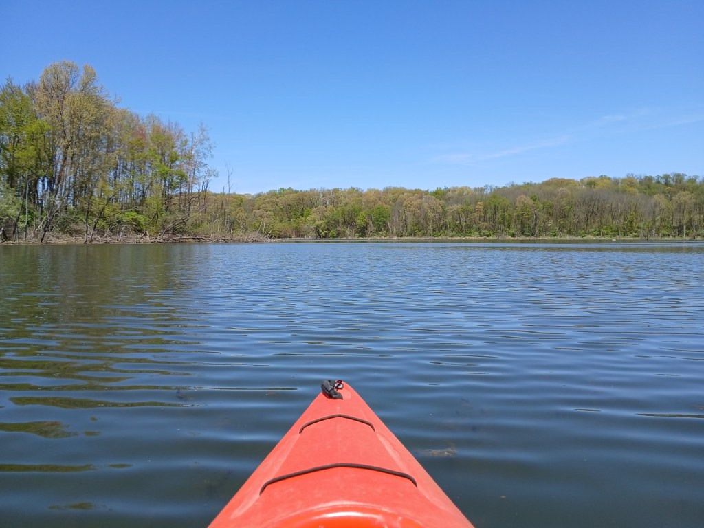
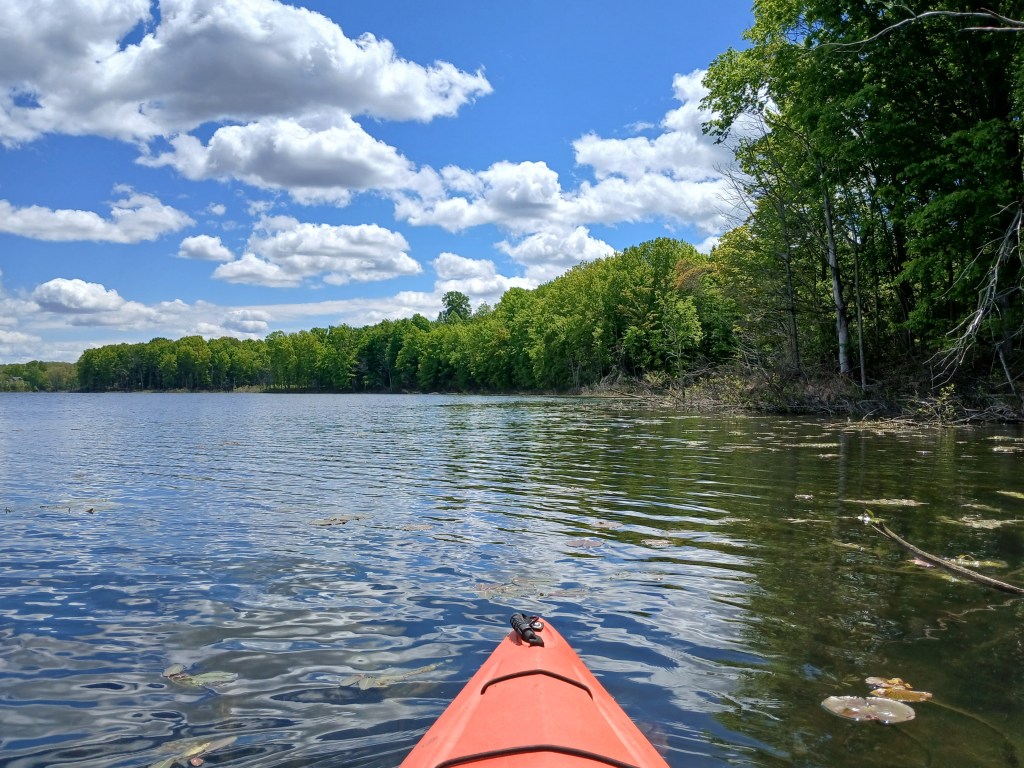
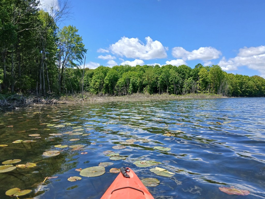
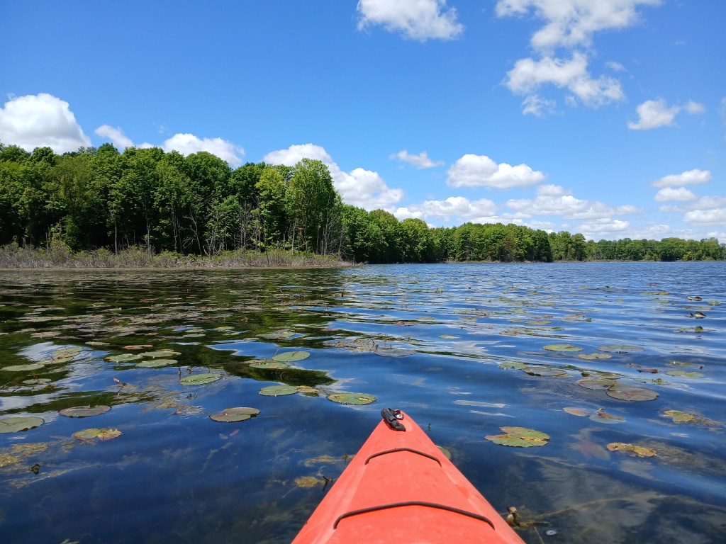
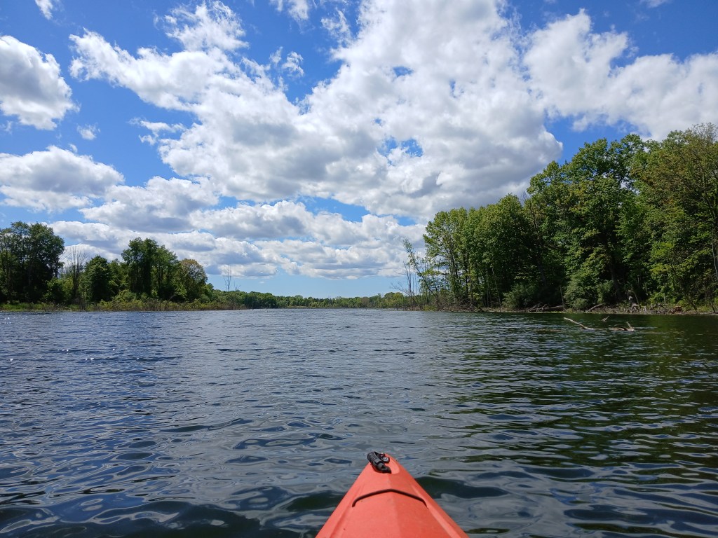
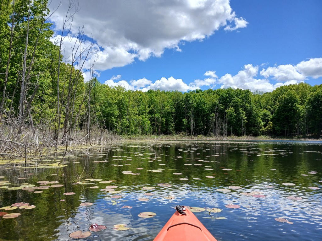
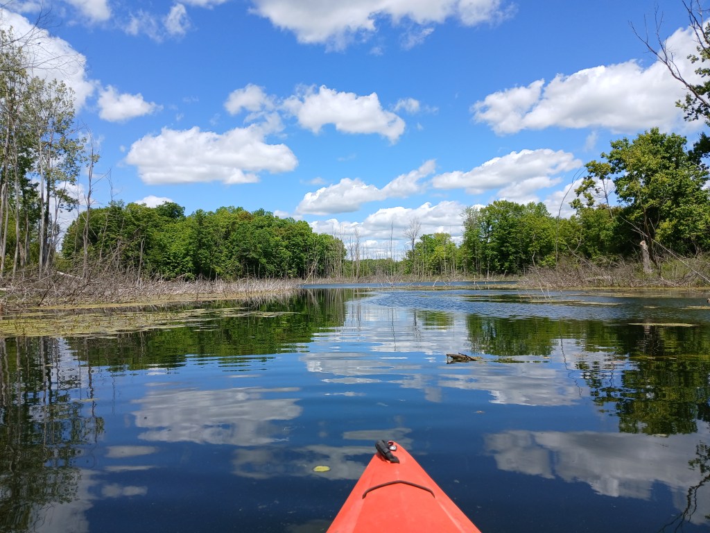
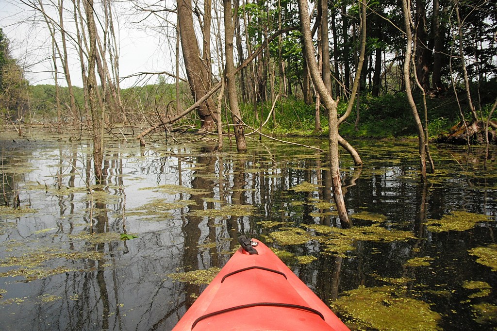
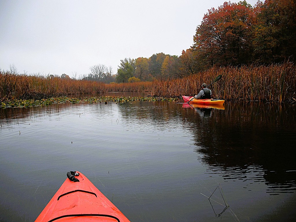
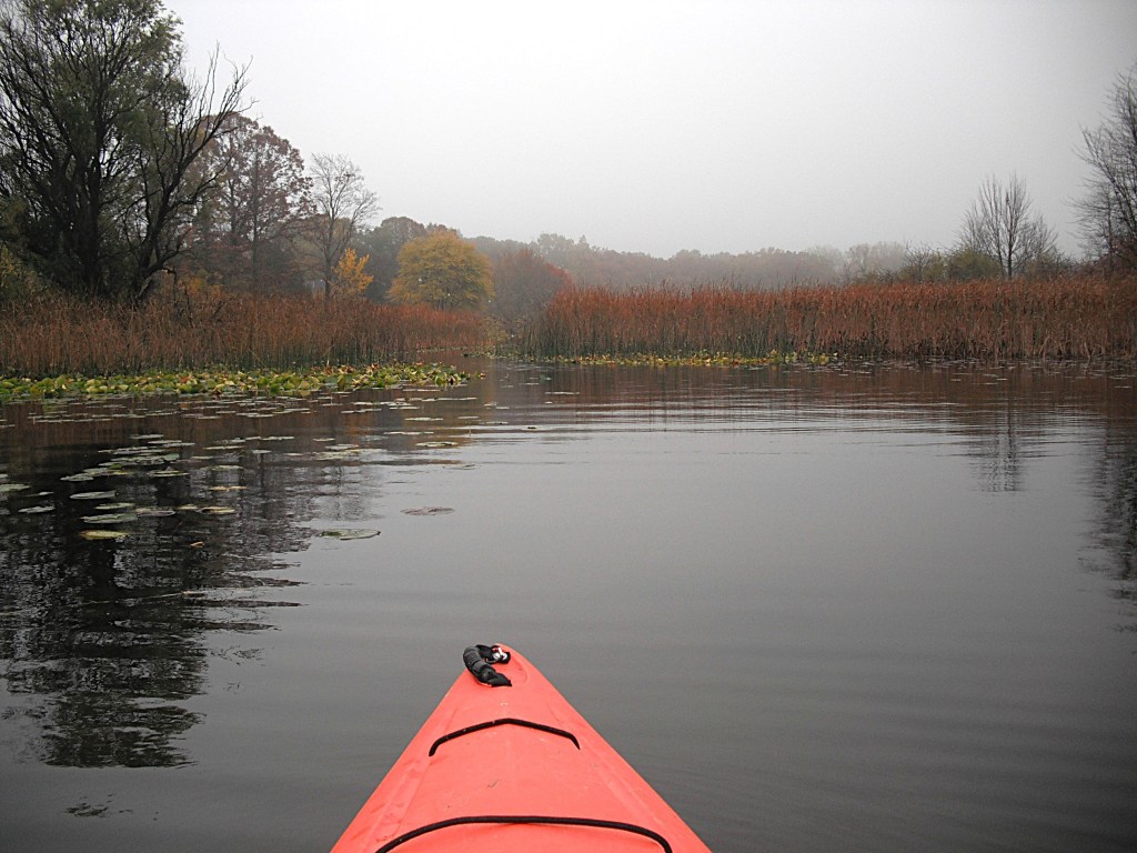
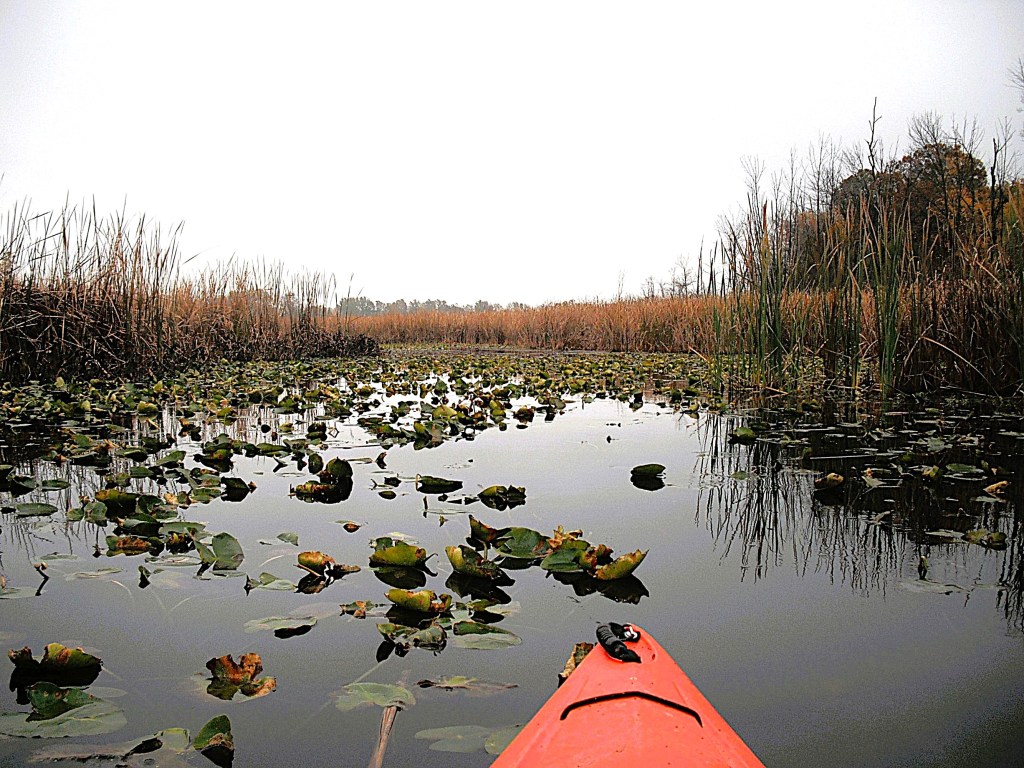
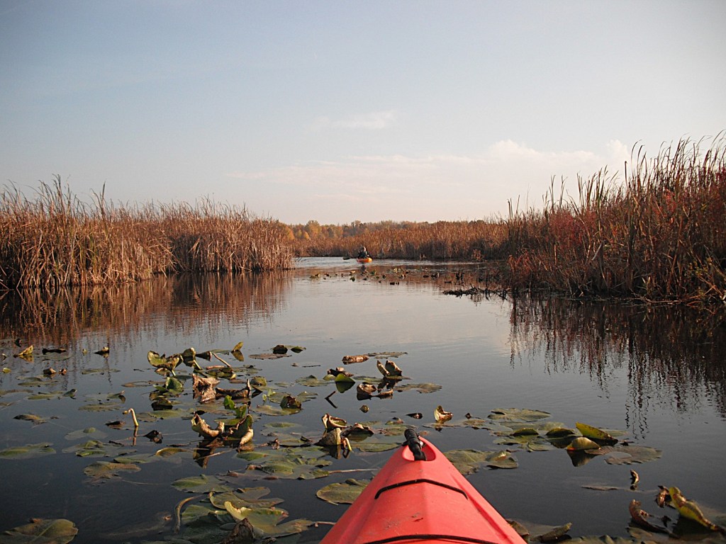
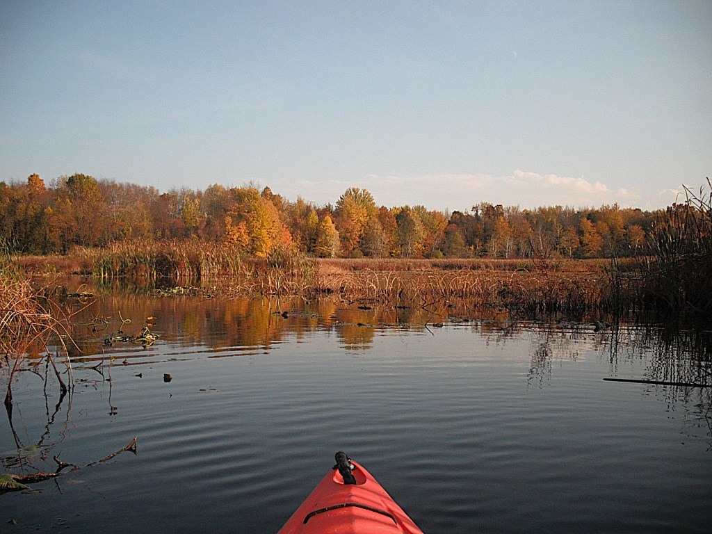
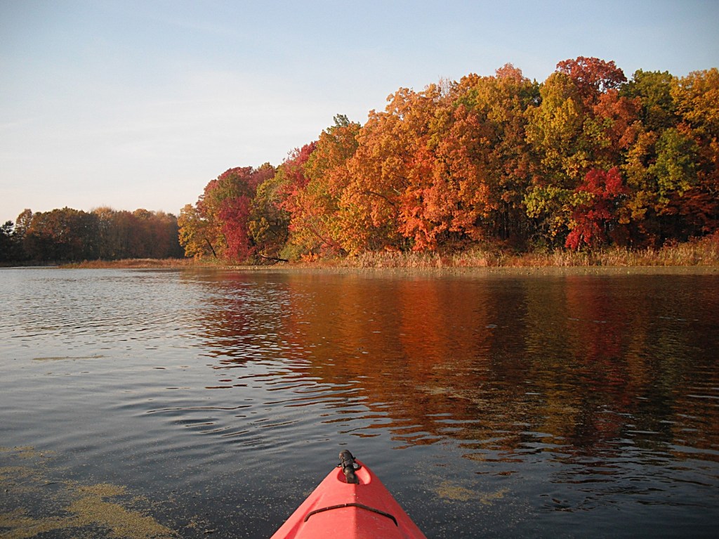
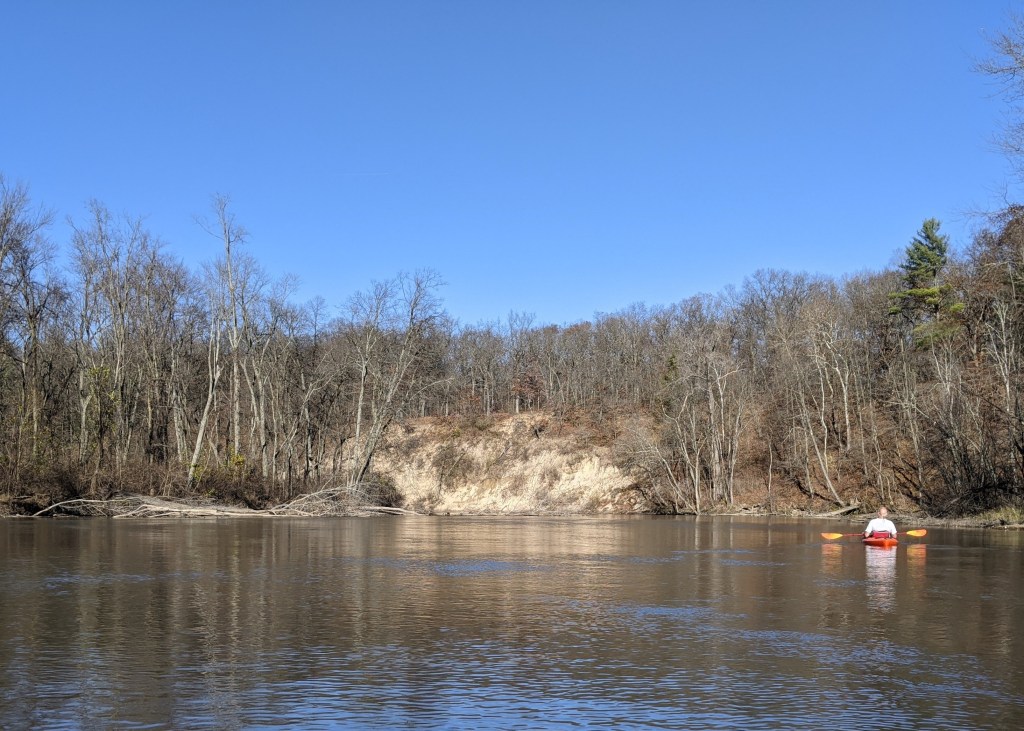
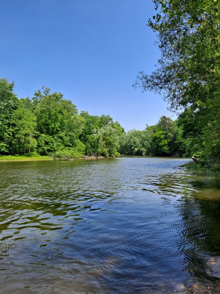
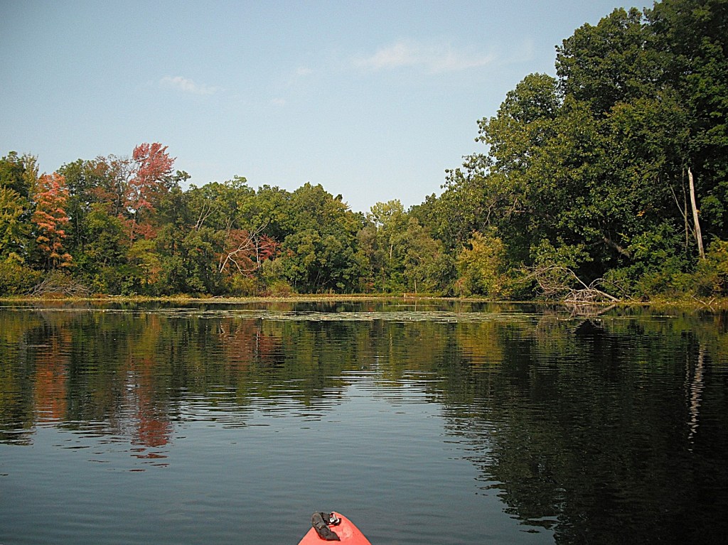
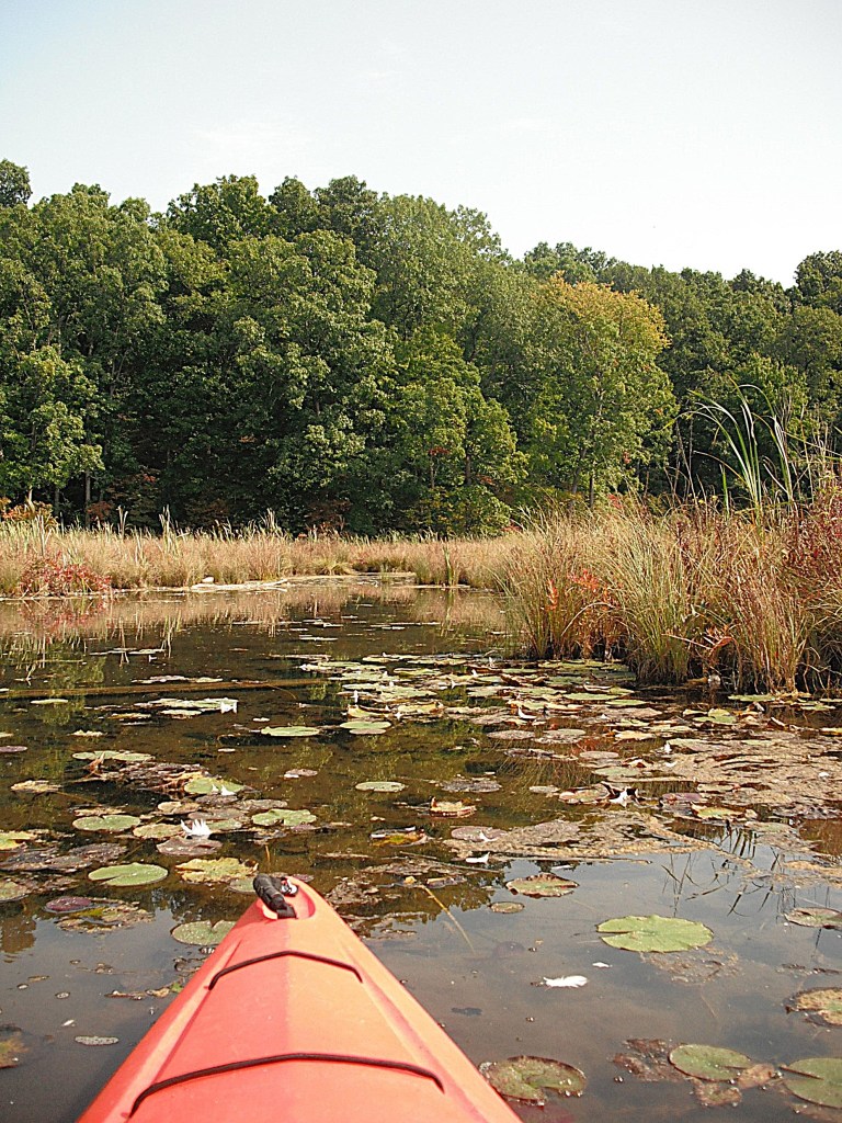
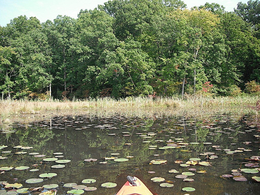
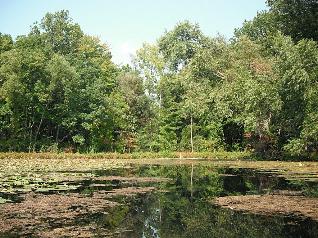
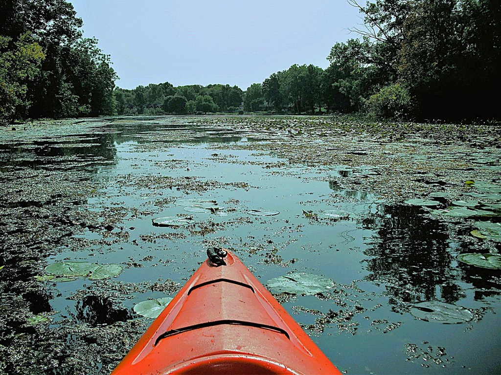
All the homes are congregated on the south end and the west side of the lake, so I spent most of my time exploring the north end and the east side of the mill pond. The water is crystal clear. Much of the lake is covered with lily pads and other floating vegetation. The creek channels offer clear paths through the vegetation. I easily paddled anywhere I wanted to go.

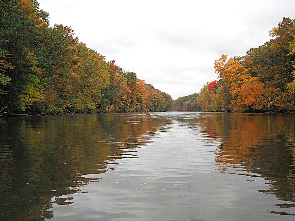
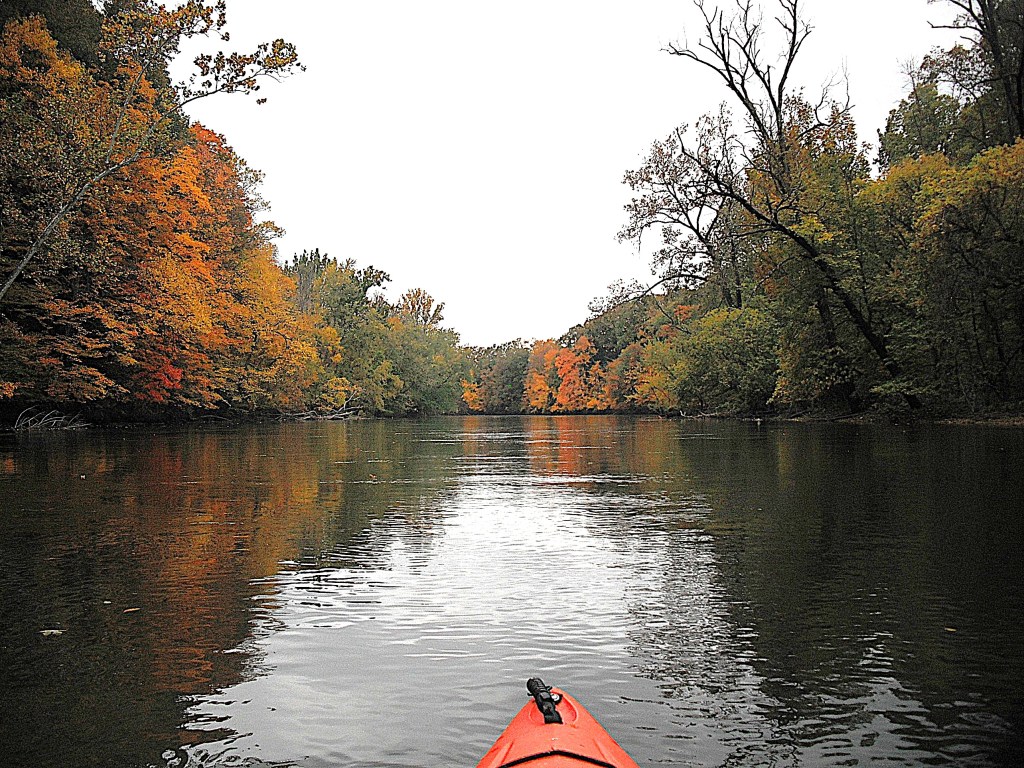
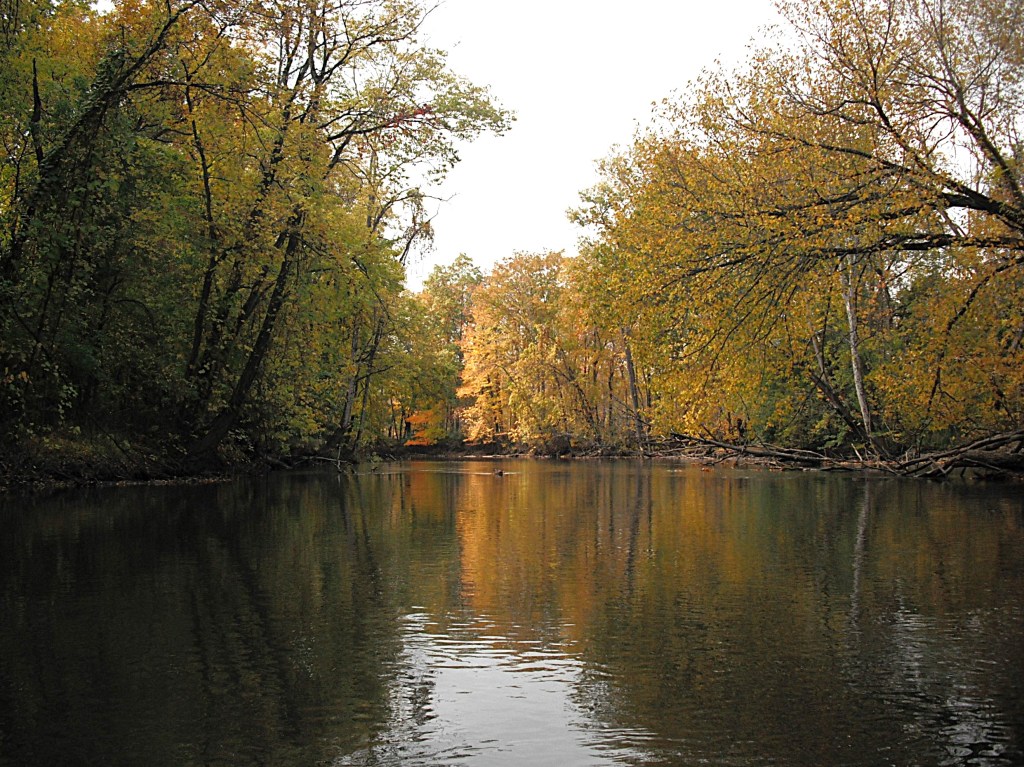
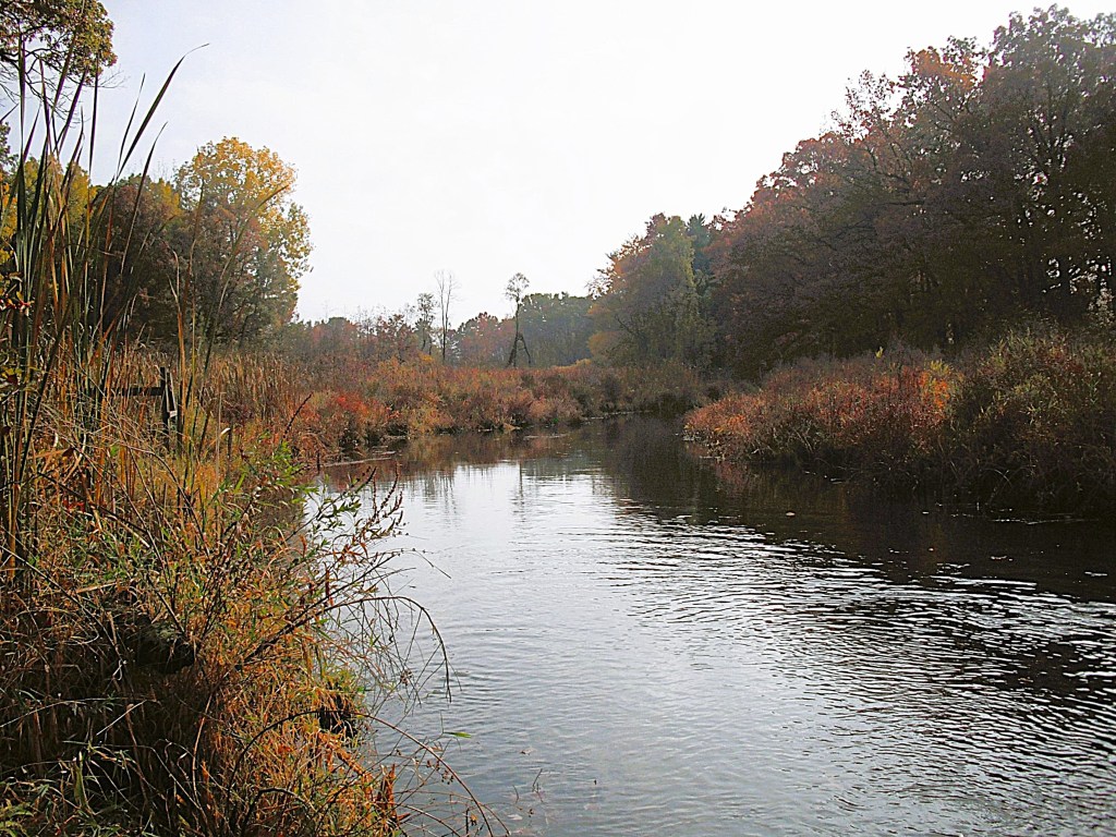
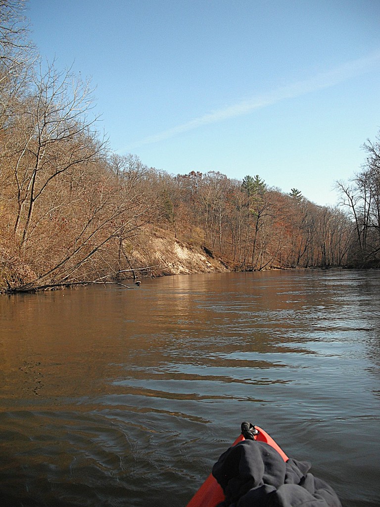
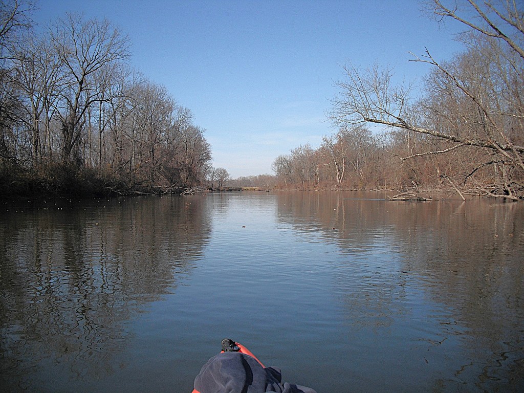
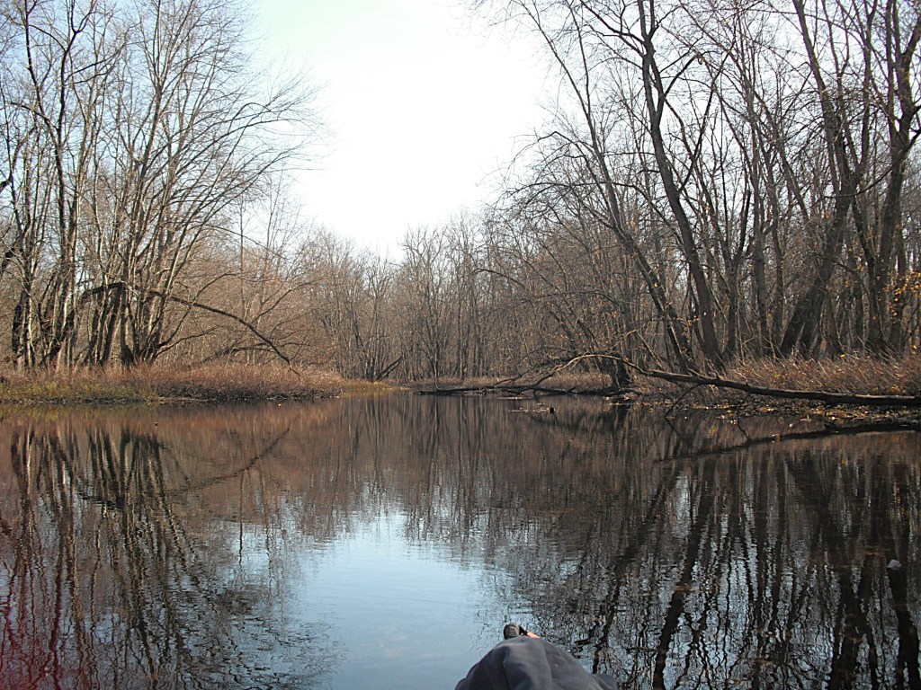
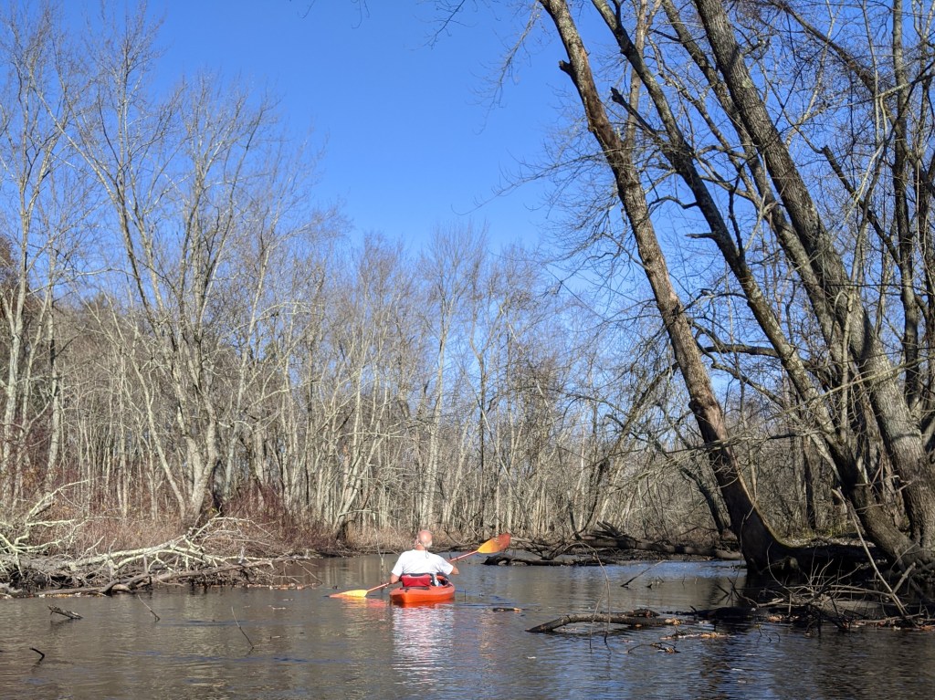
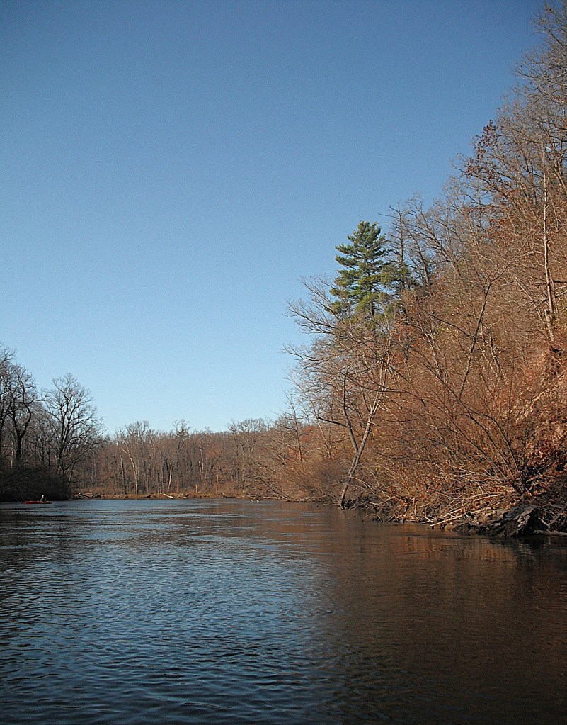
The trip begins by heading downstream on Gull Creek.

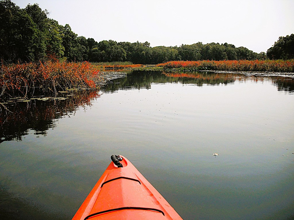
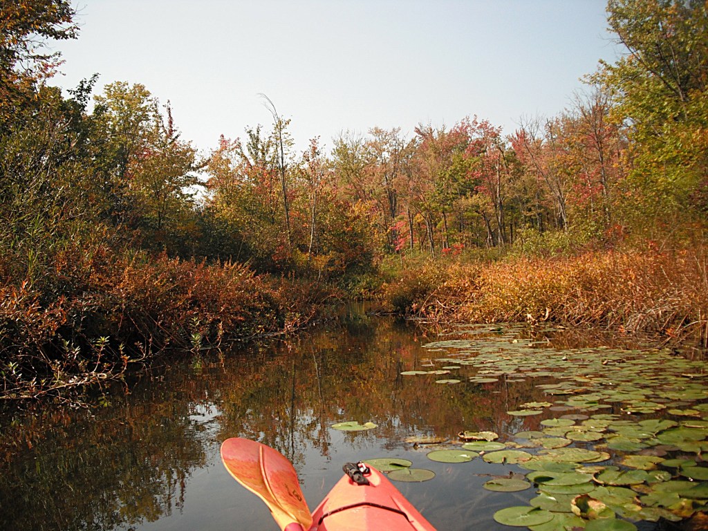
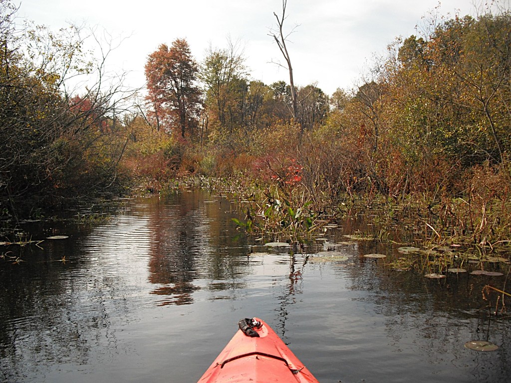
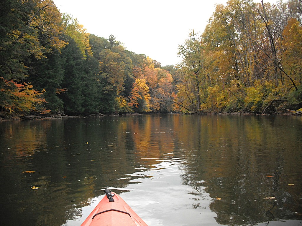
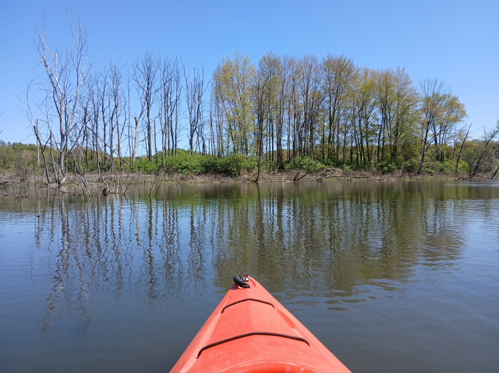
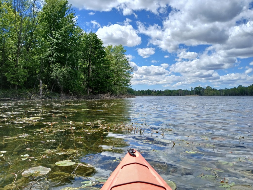
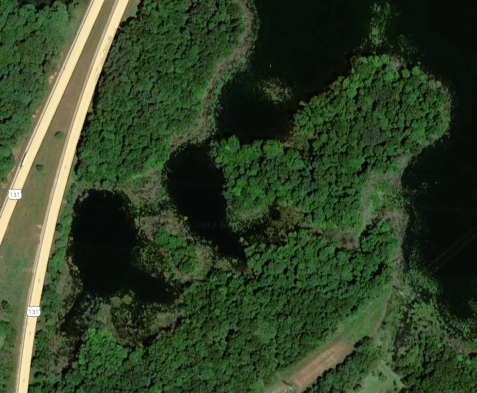
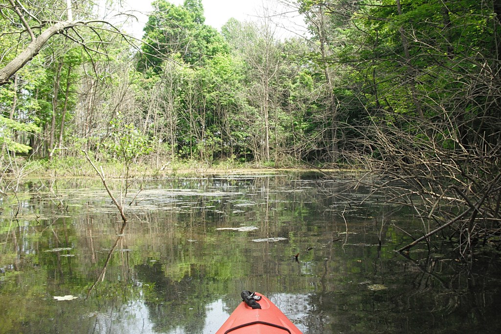
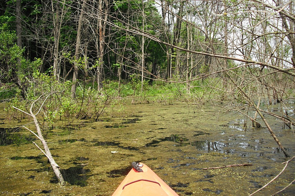
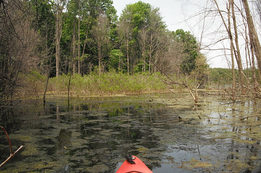
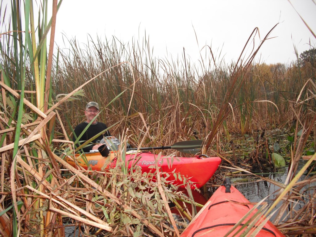
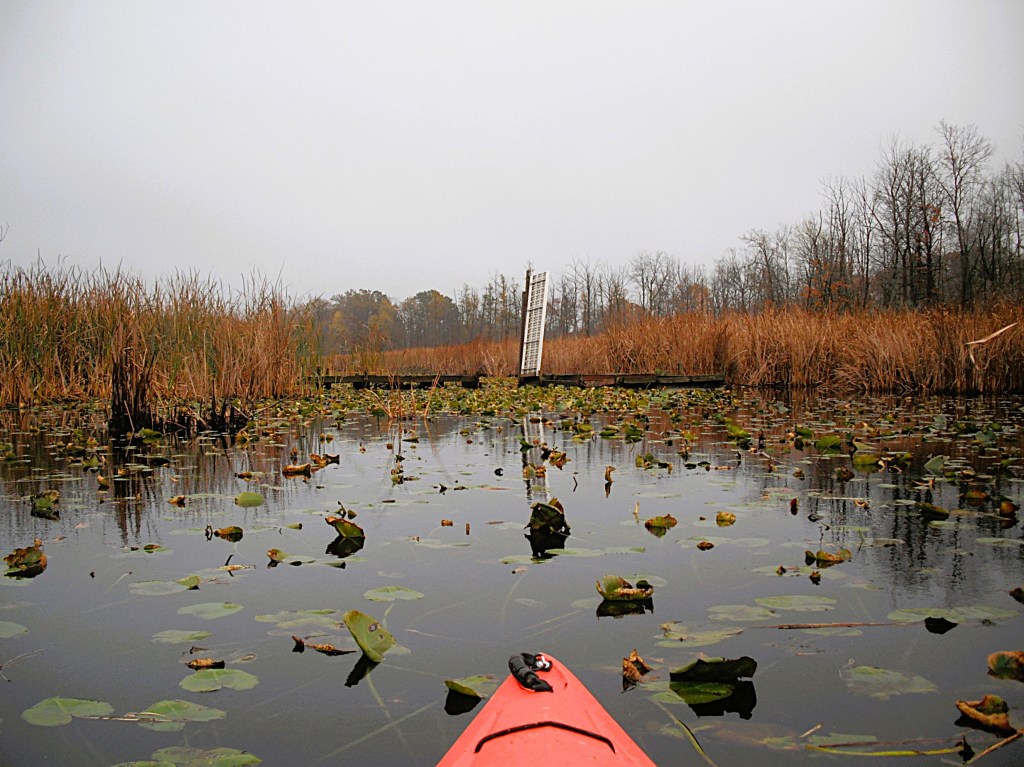
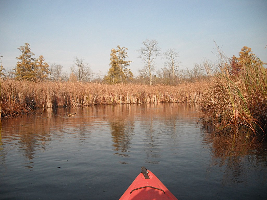
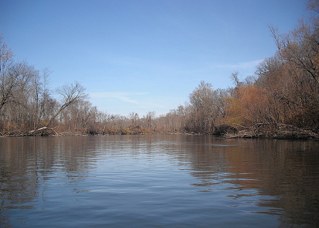
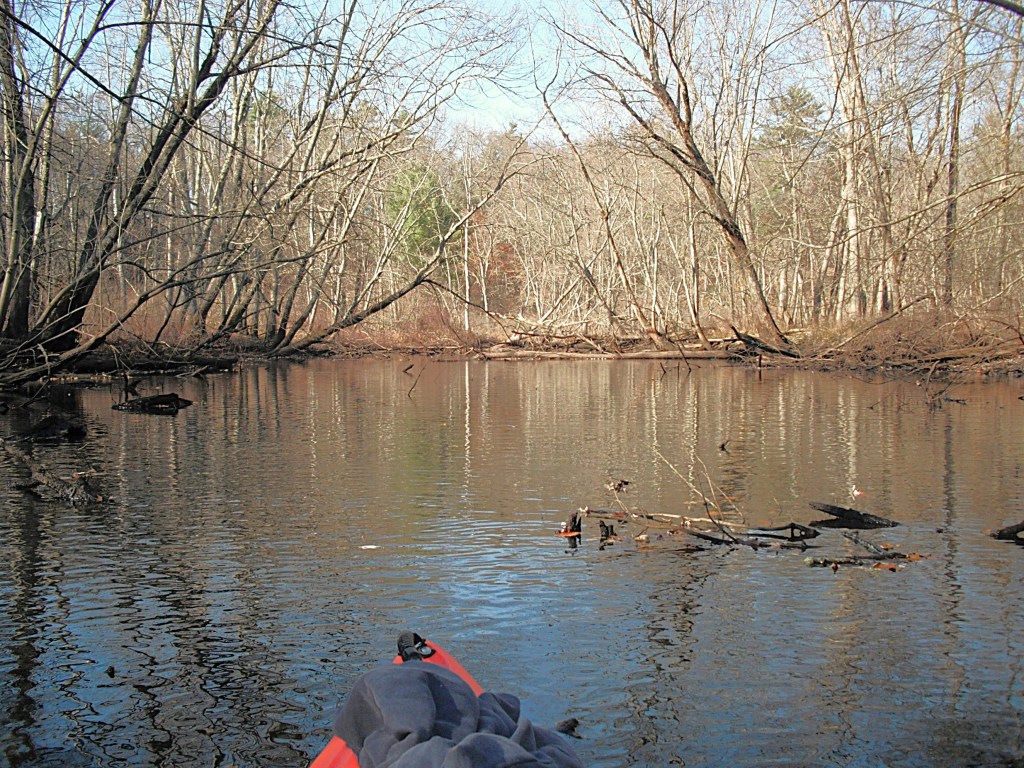
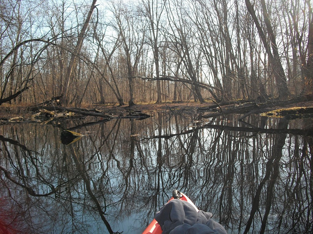
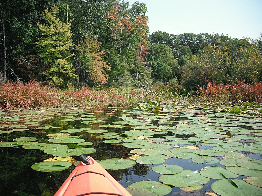
When I reached the mill pond, I encountered vast mats of floating vegetation on either side of the creek channel. I took a side trip east on a tiny channel through the veggies. I ended up in a small hidden pond, not visible from the main creek channel.

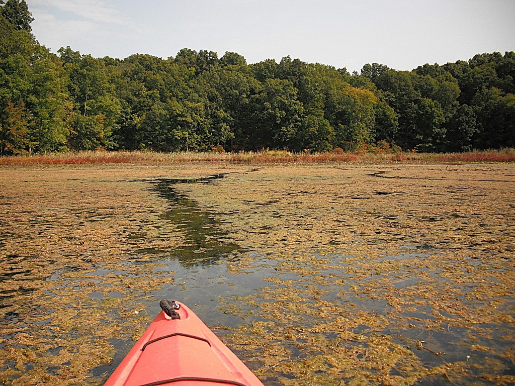
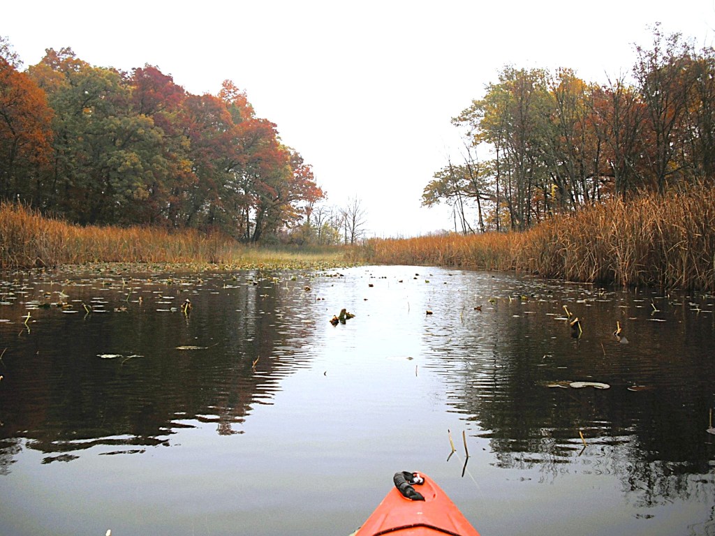
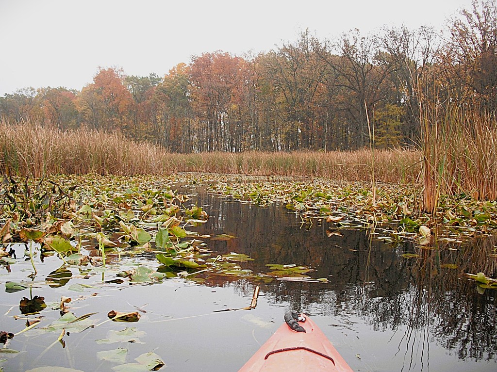
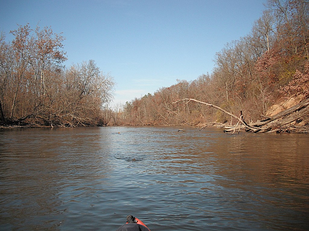
A little farther south, I took a similar channel to another hidden pond.

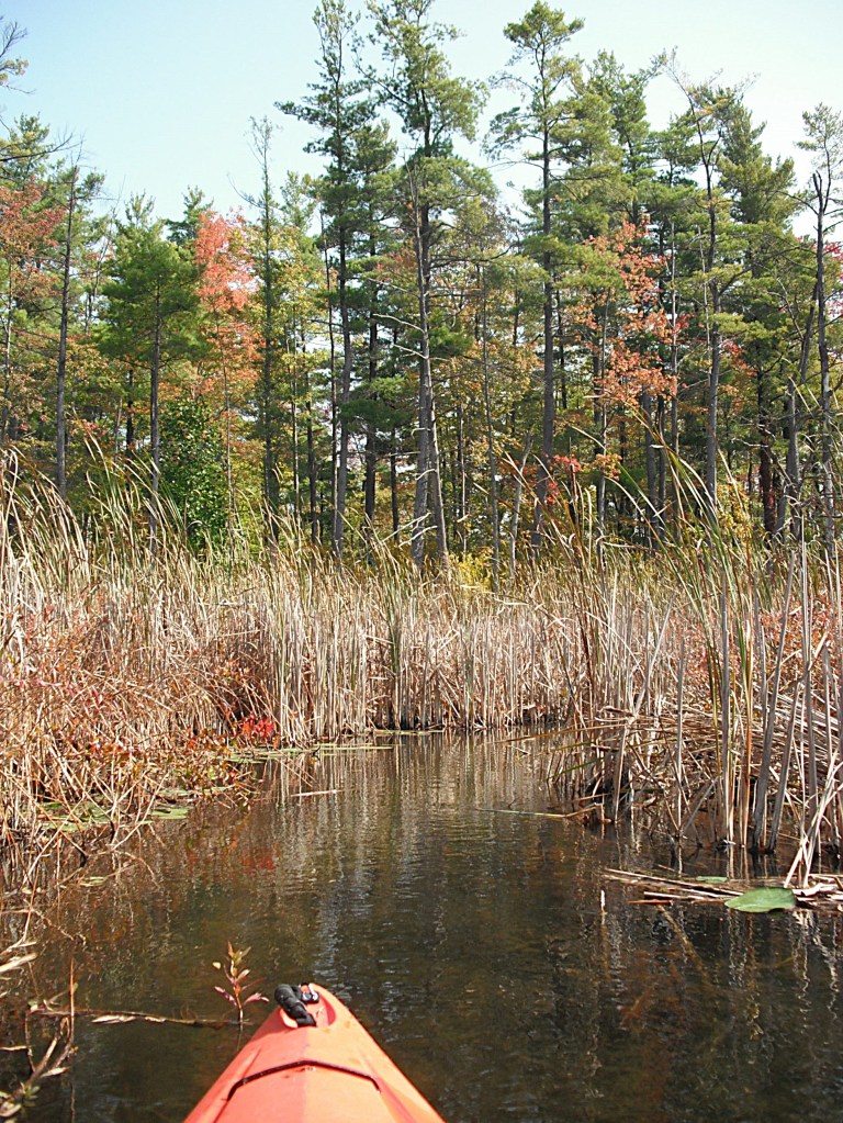
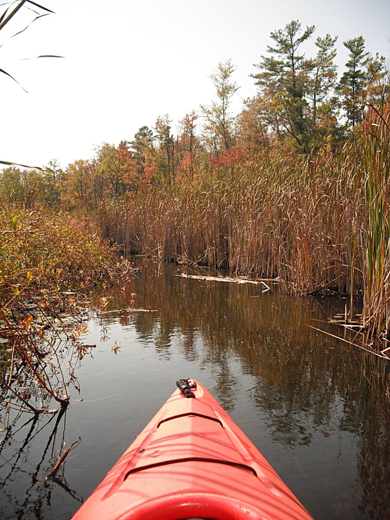
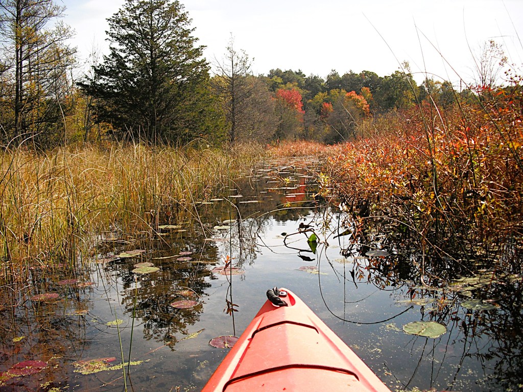
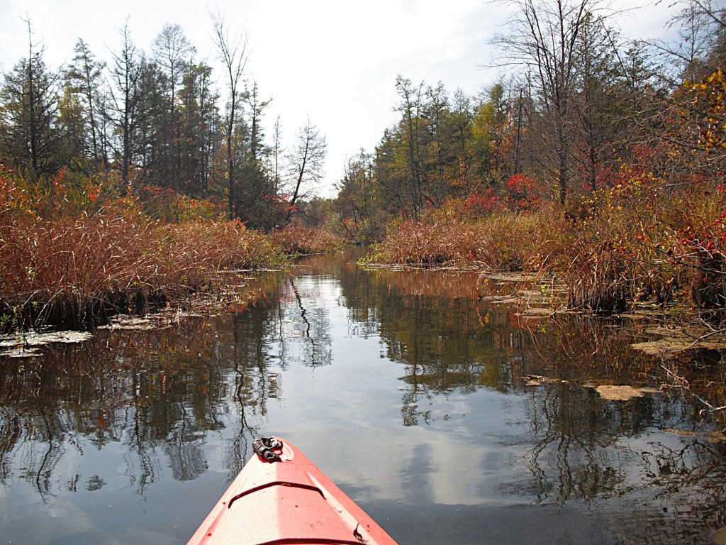
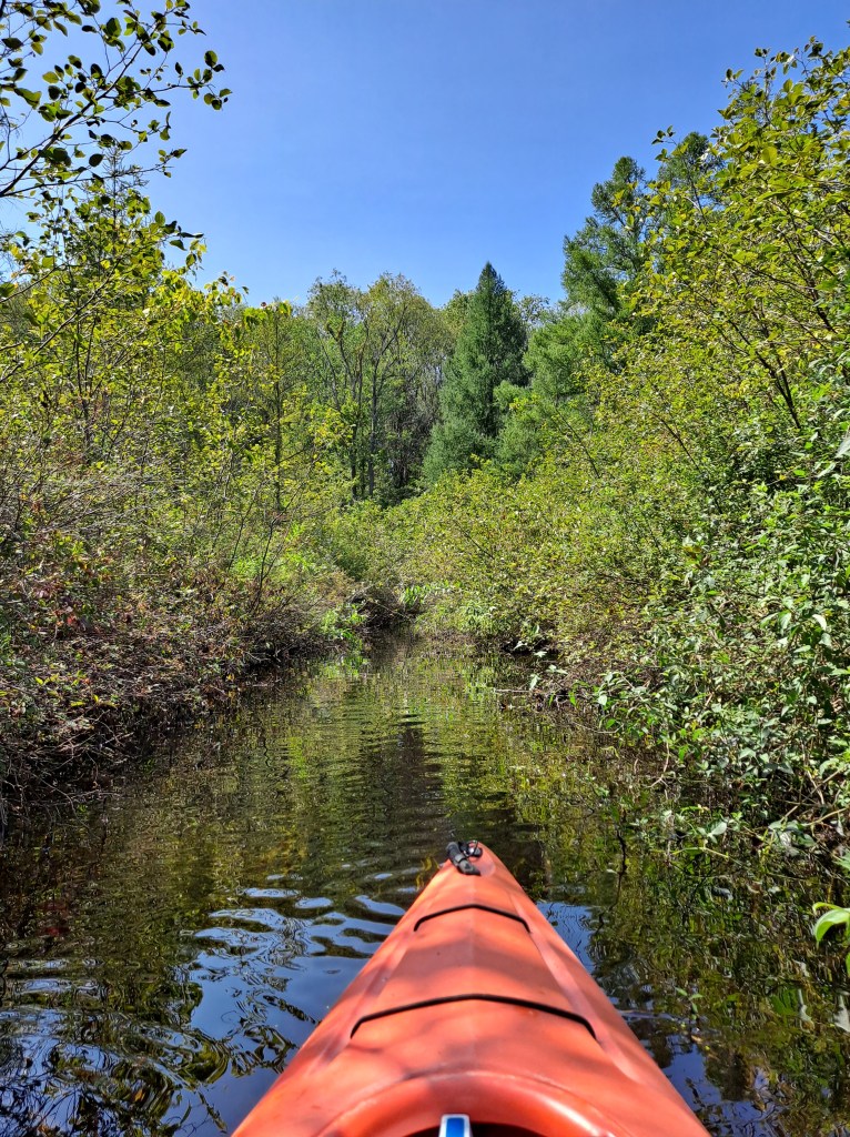
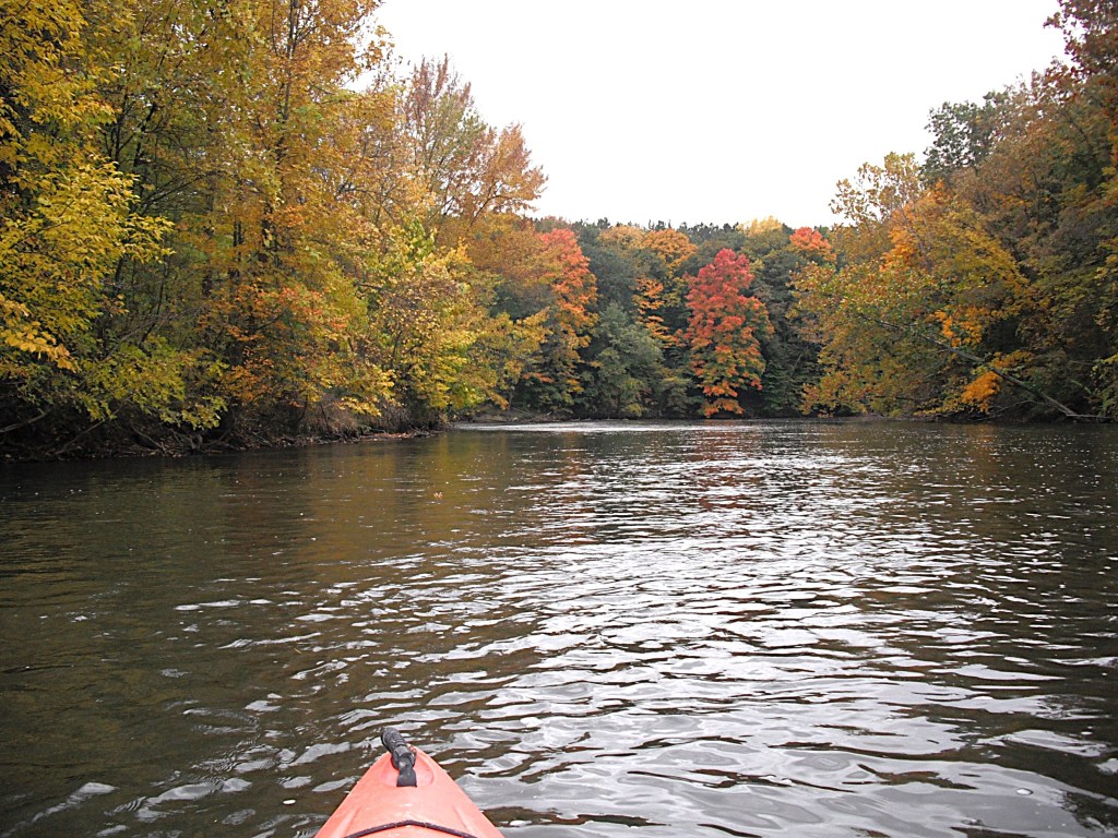
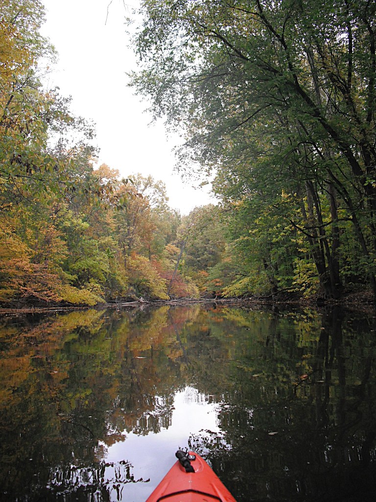
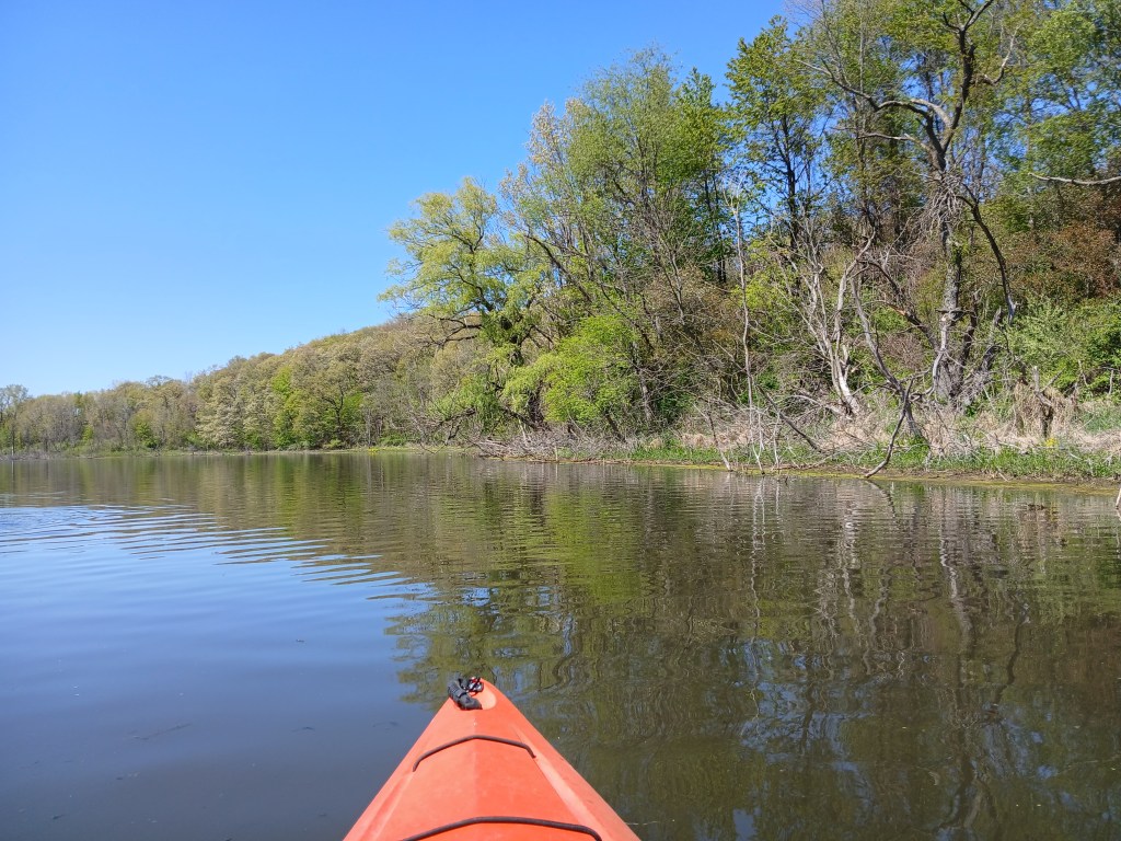
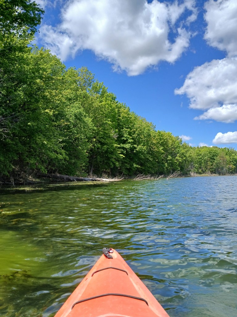
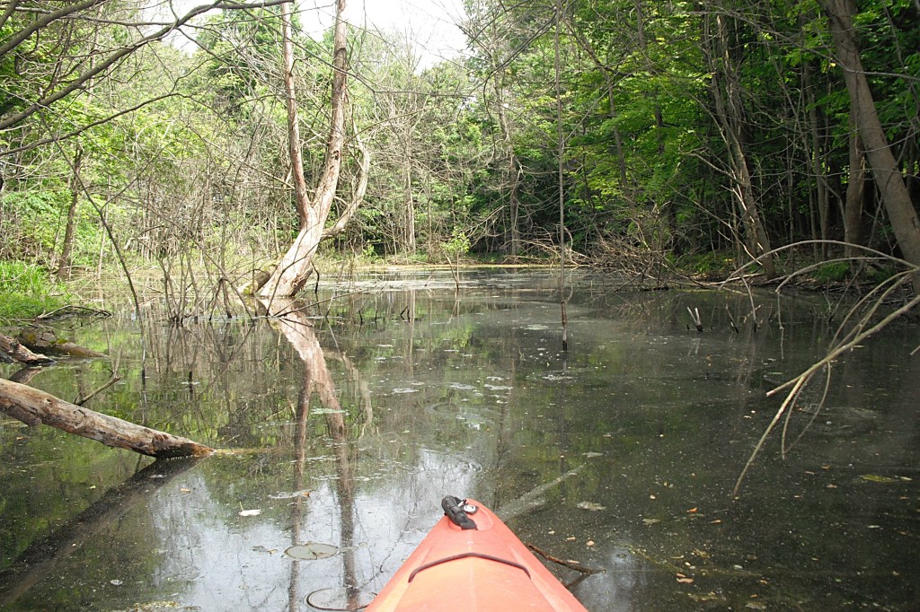
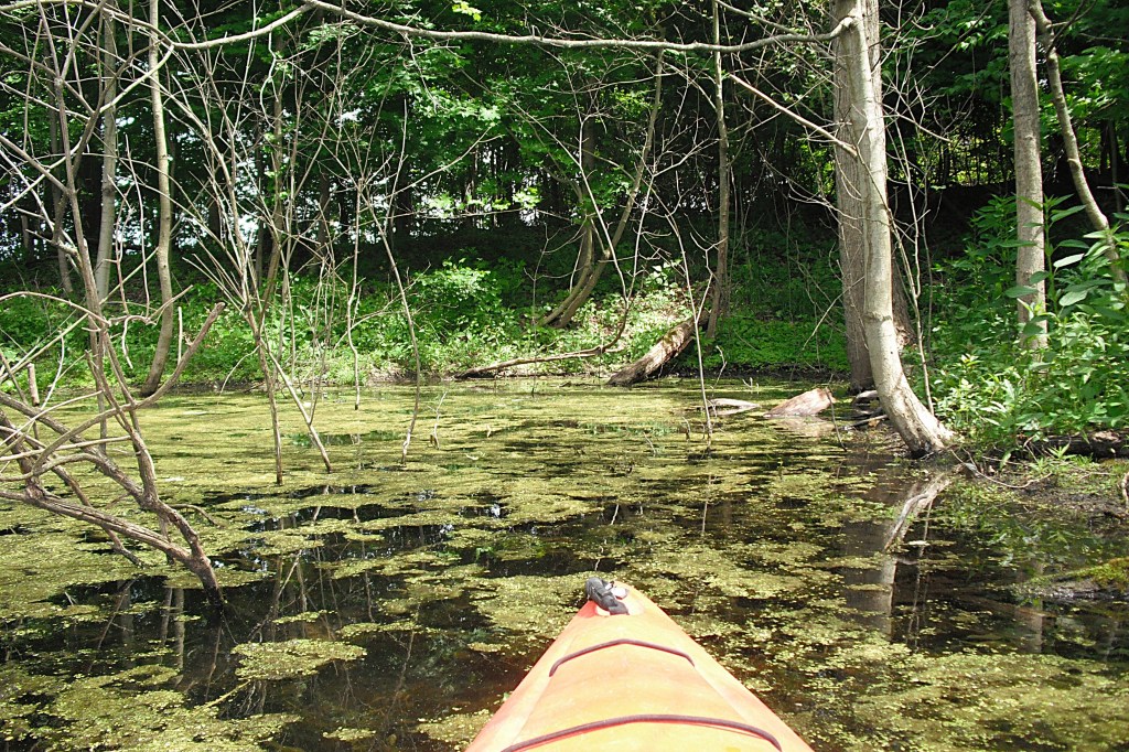
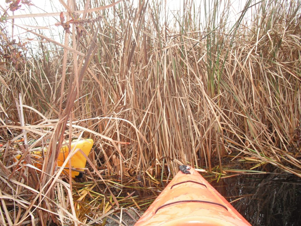
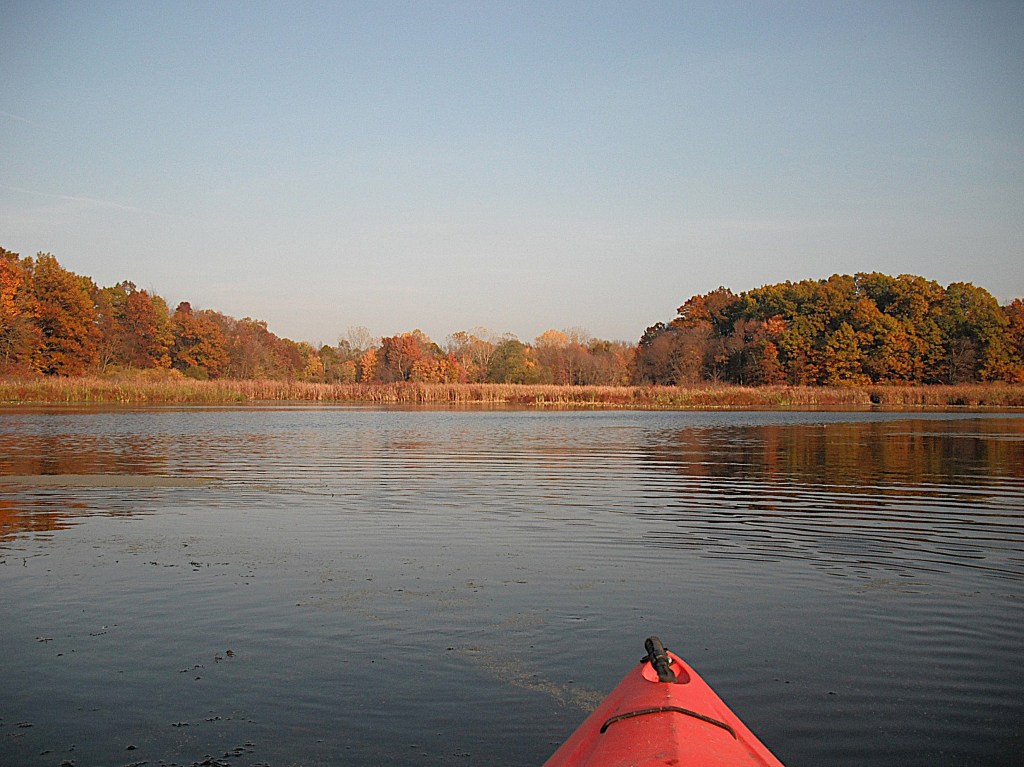
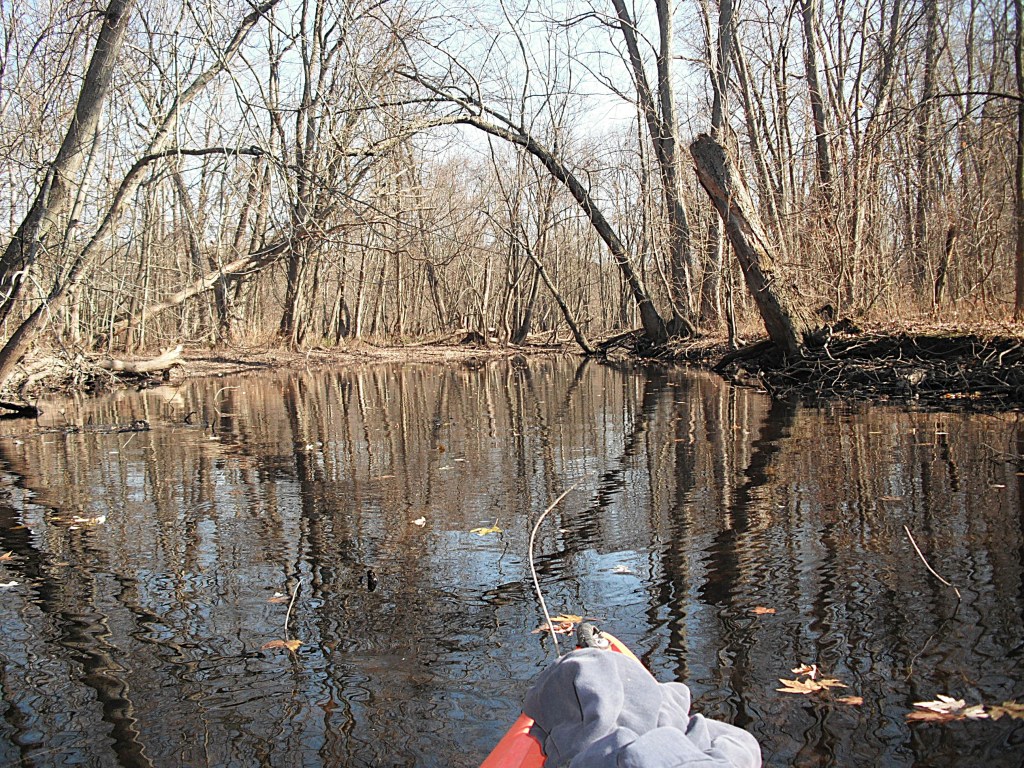
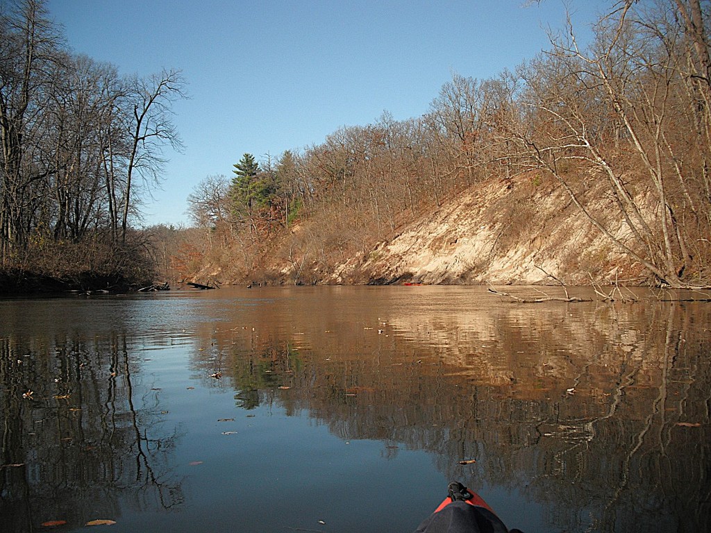
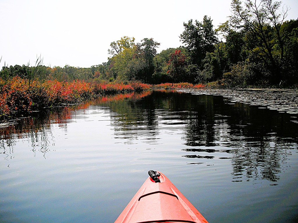
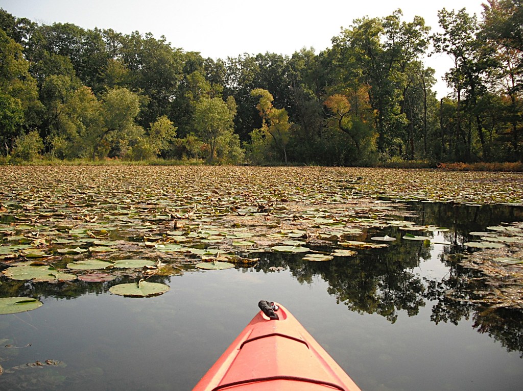
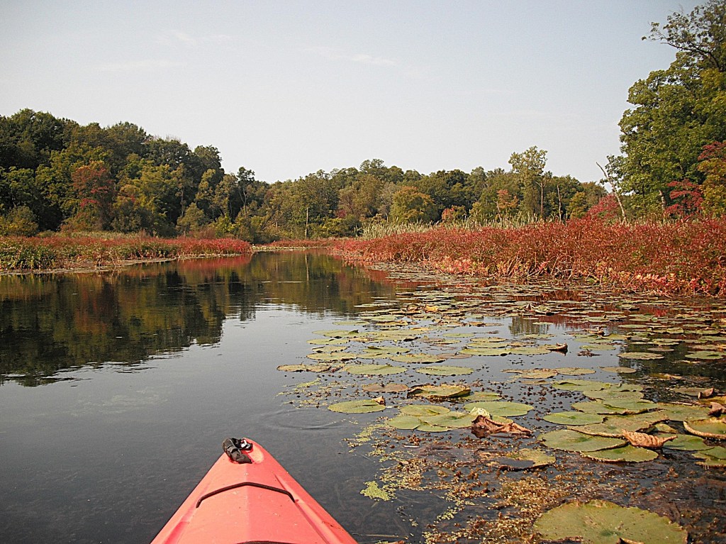
I continued south along the east side of the mill pond. I paddled a barely noticeable water trail through some dense brush.

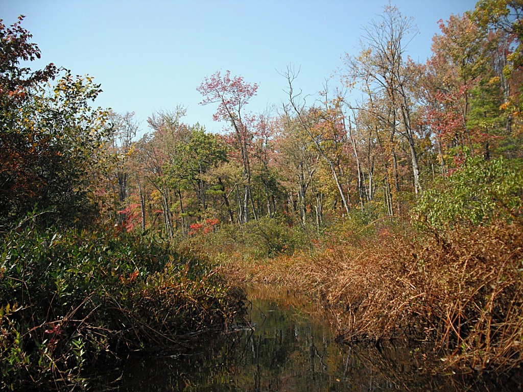
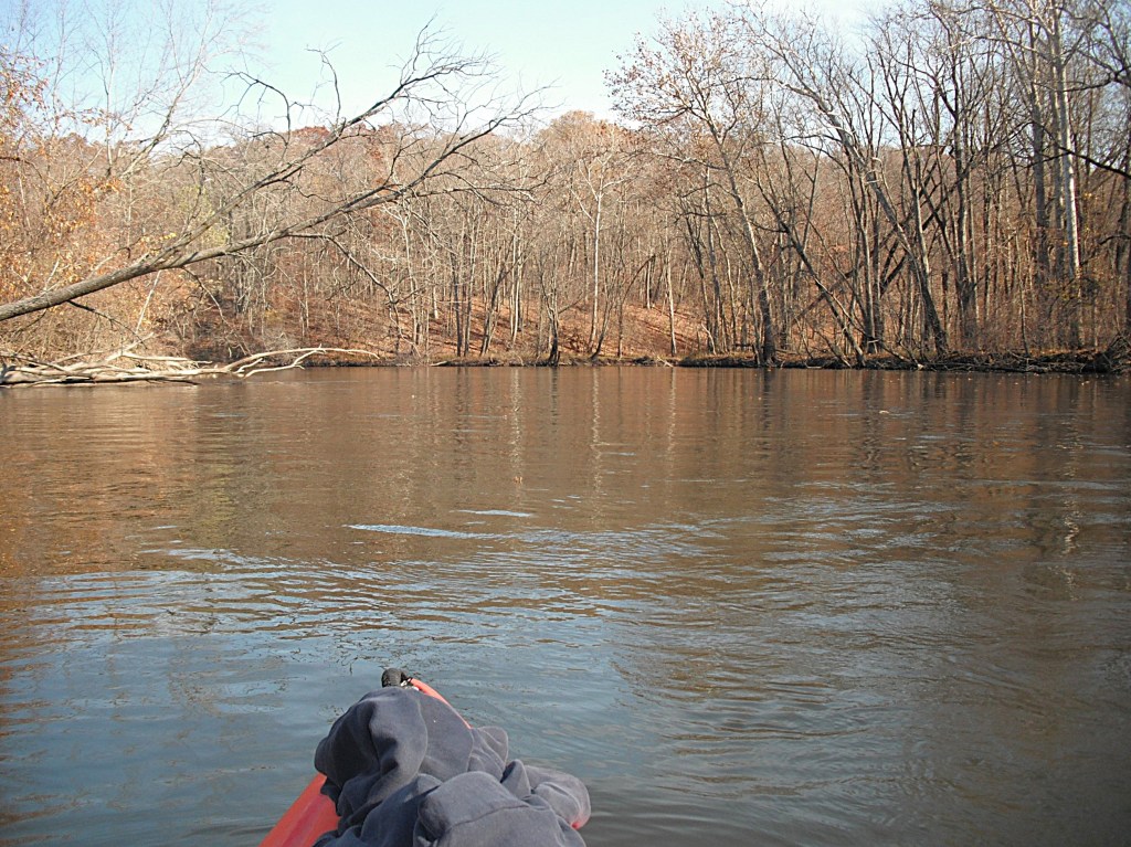
I ended up in a small pond.

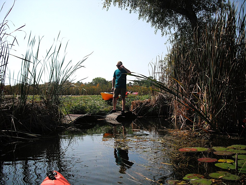
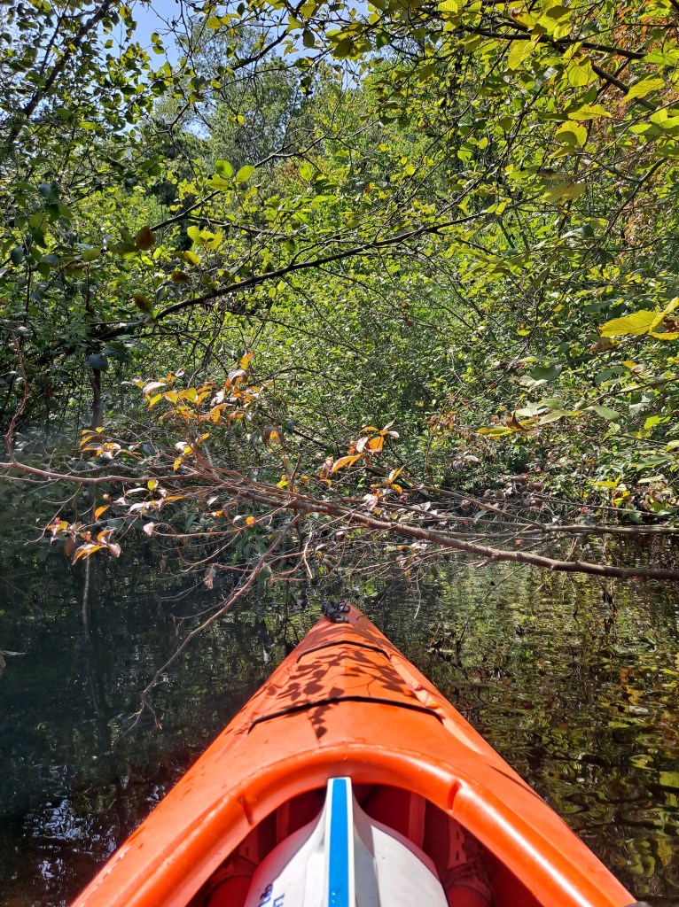
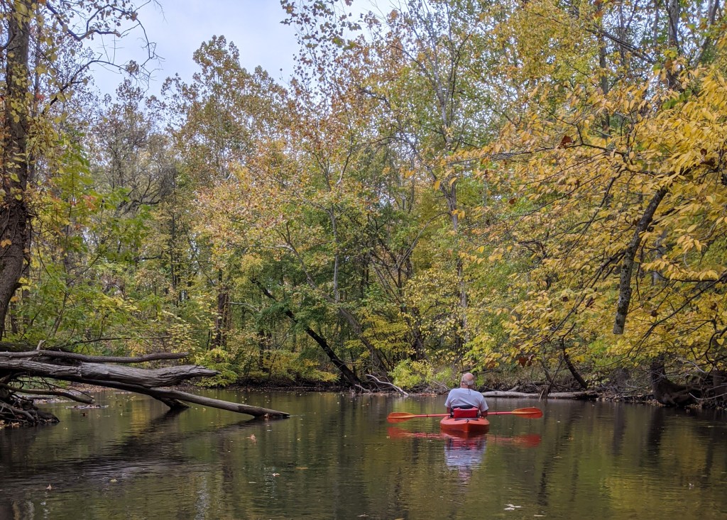
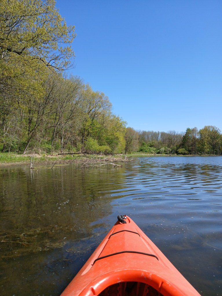
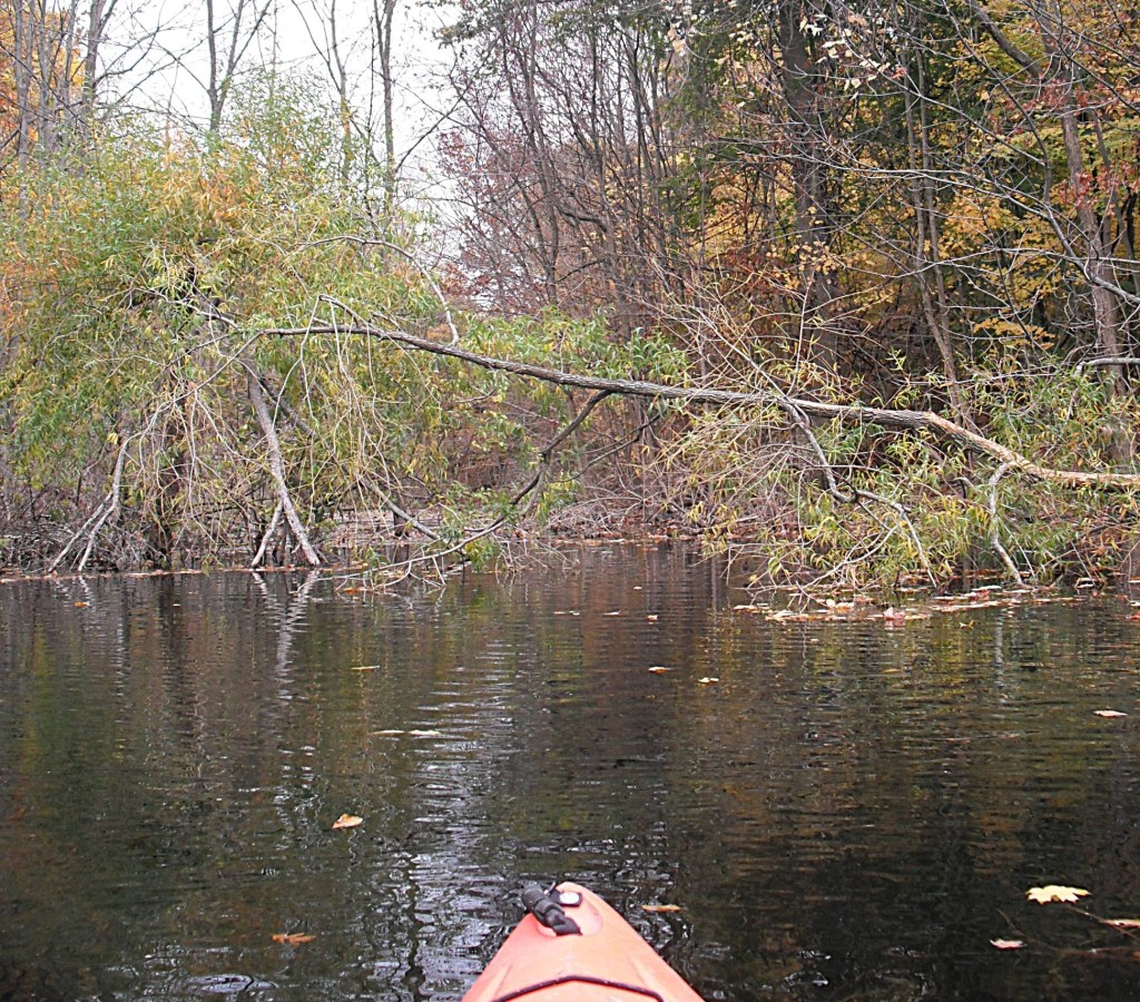
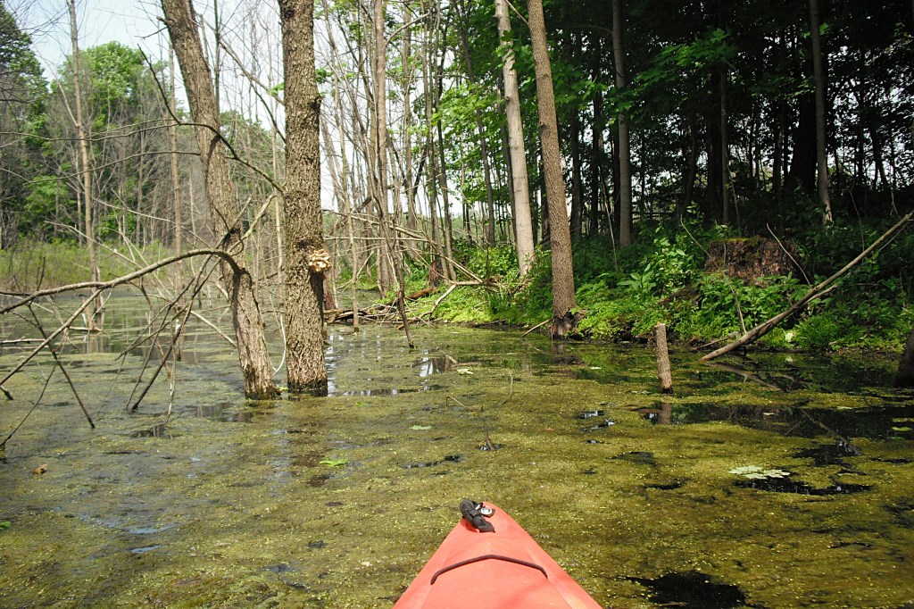
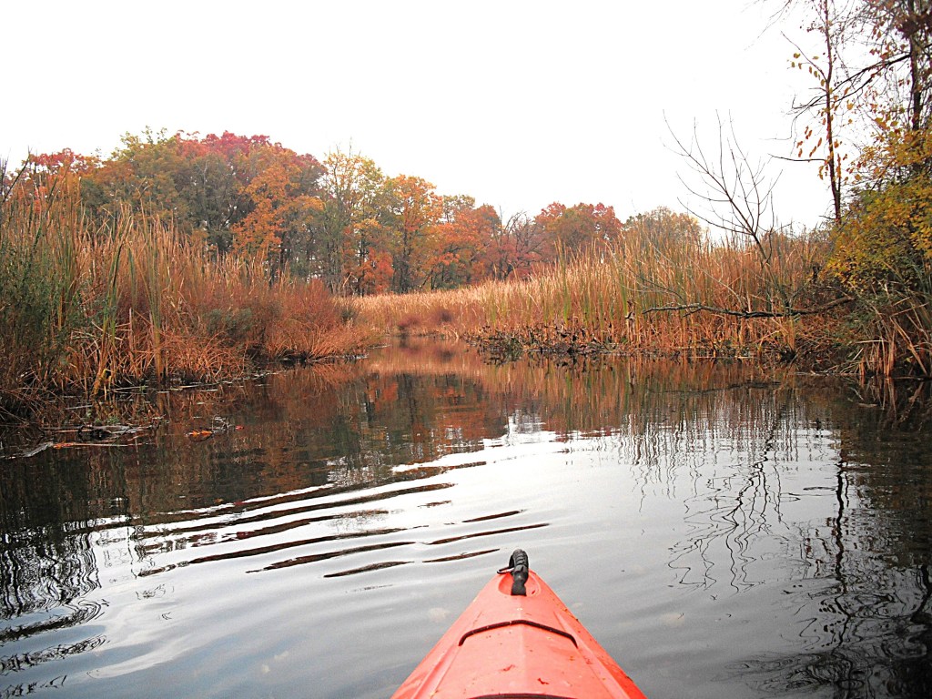
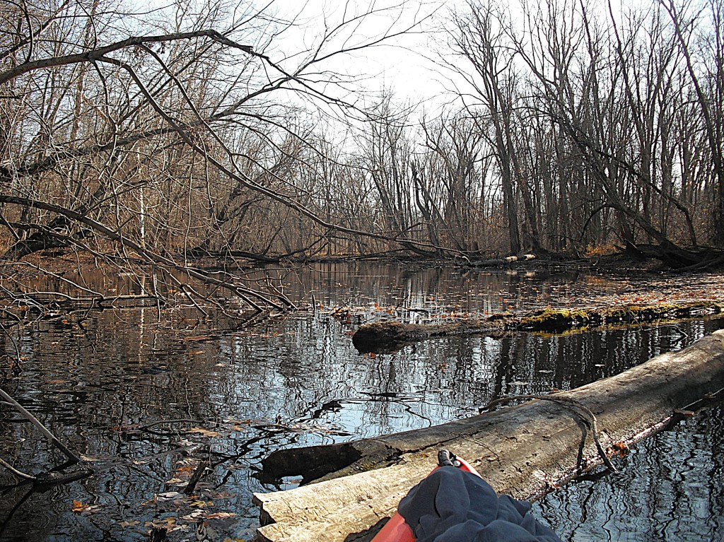
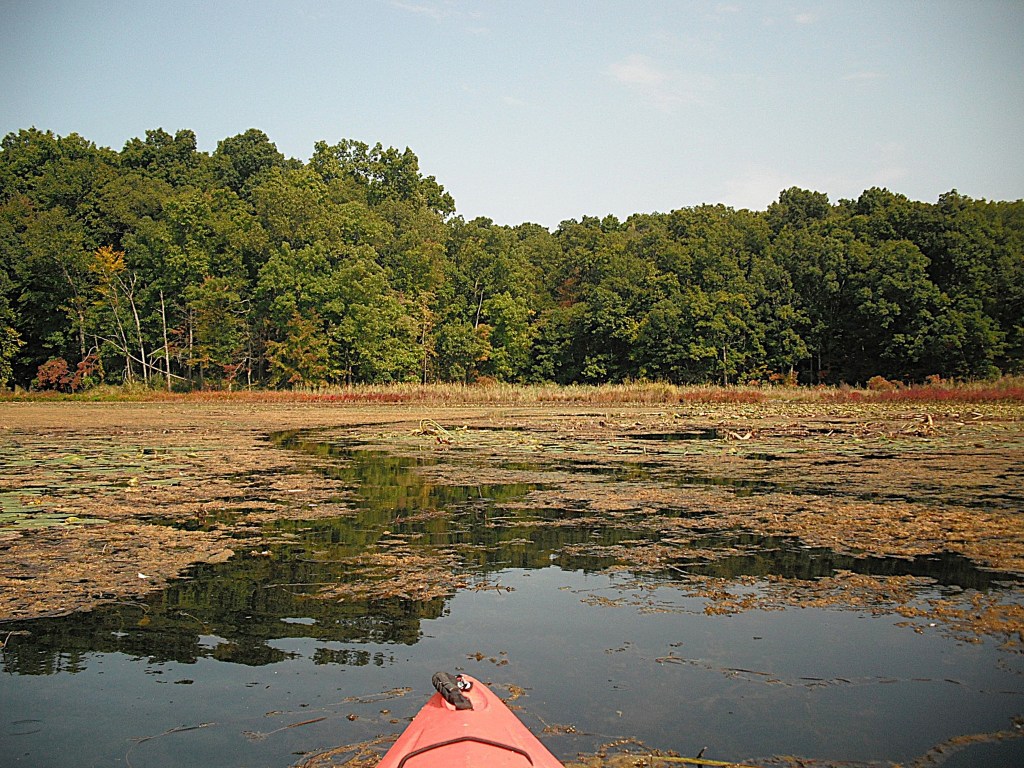
I paddled to the far end of the pond and found fallen trees blocking my way.

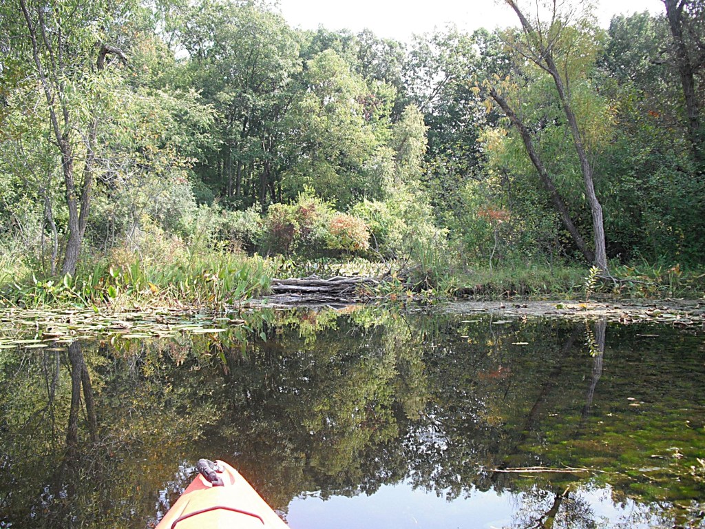
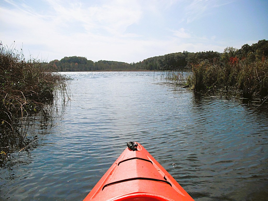
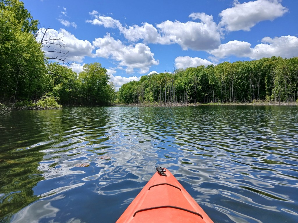
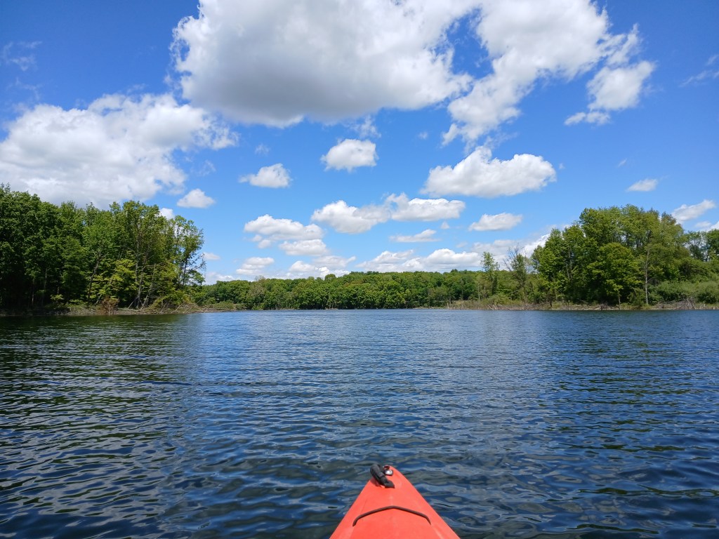
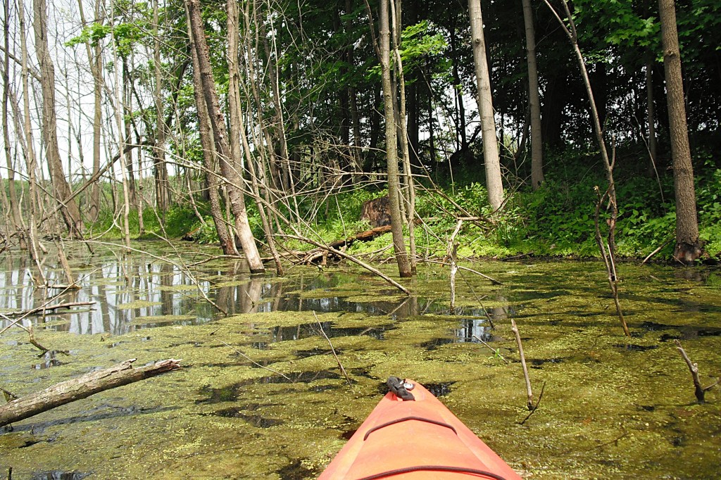
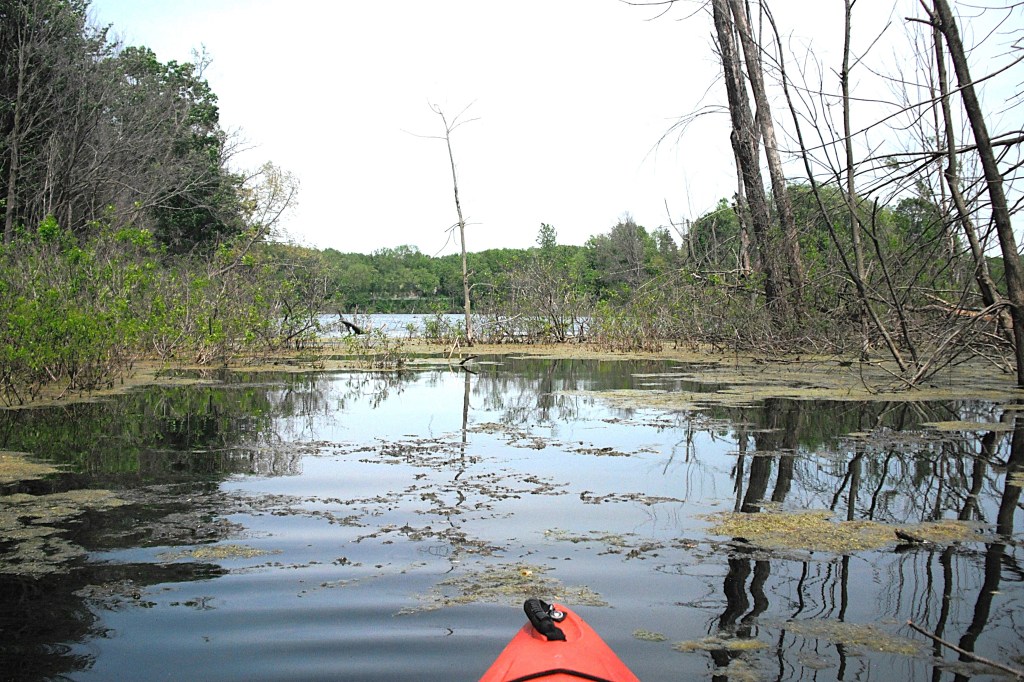
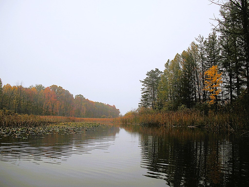
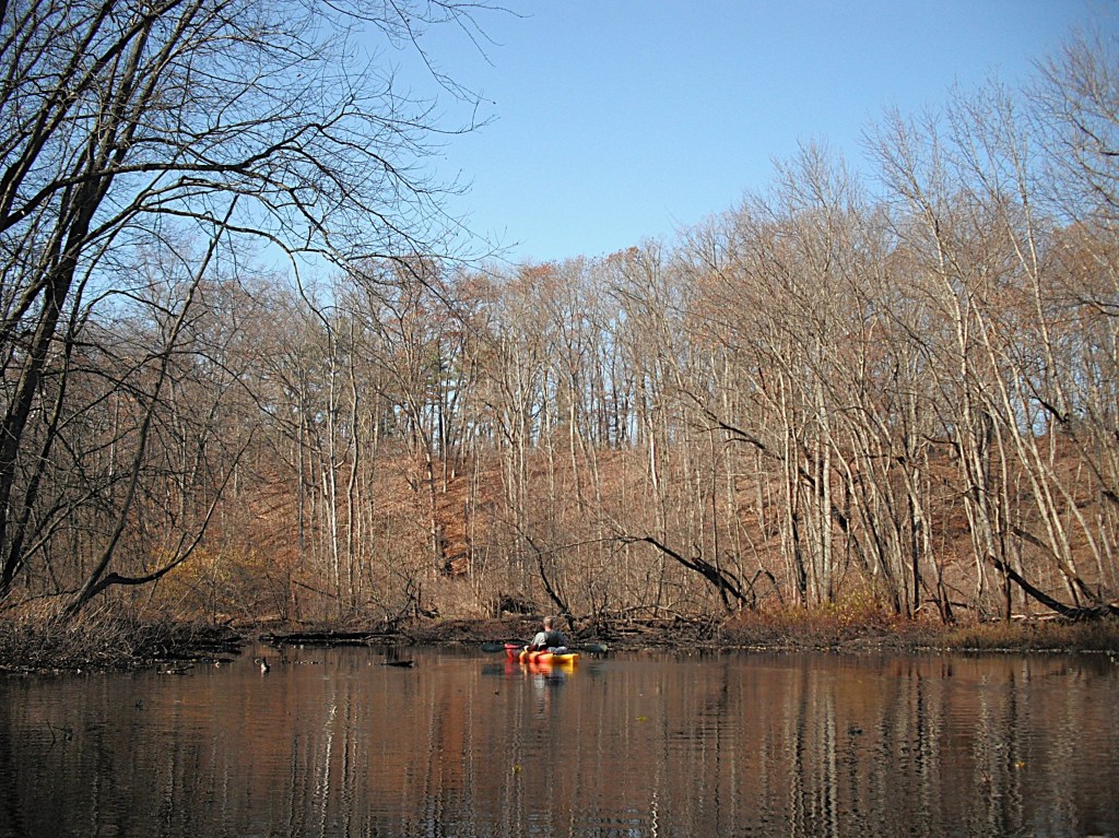
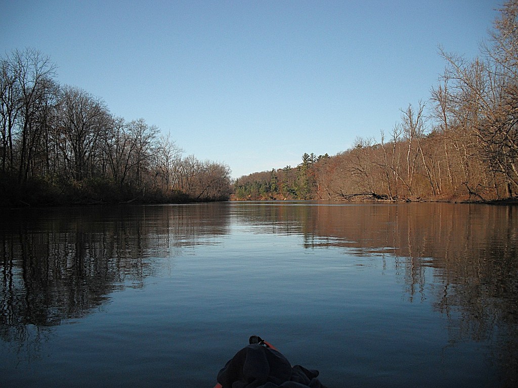
I portaged around the trees and found myself in a cove.

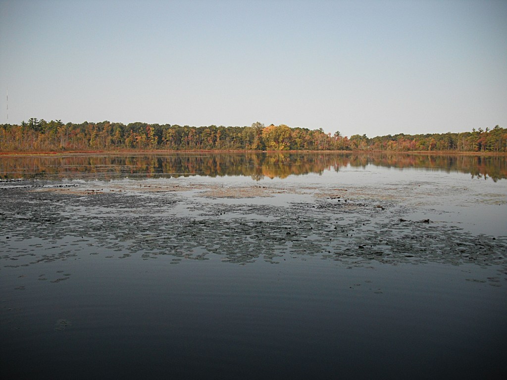
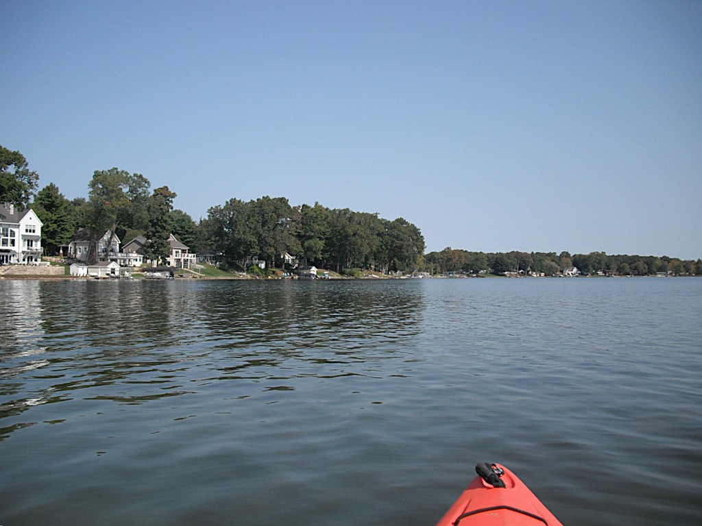
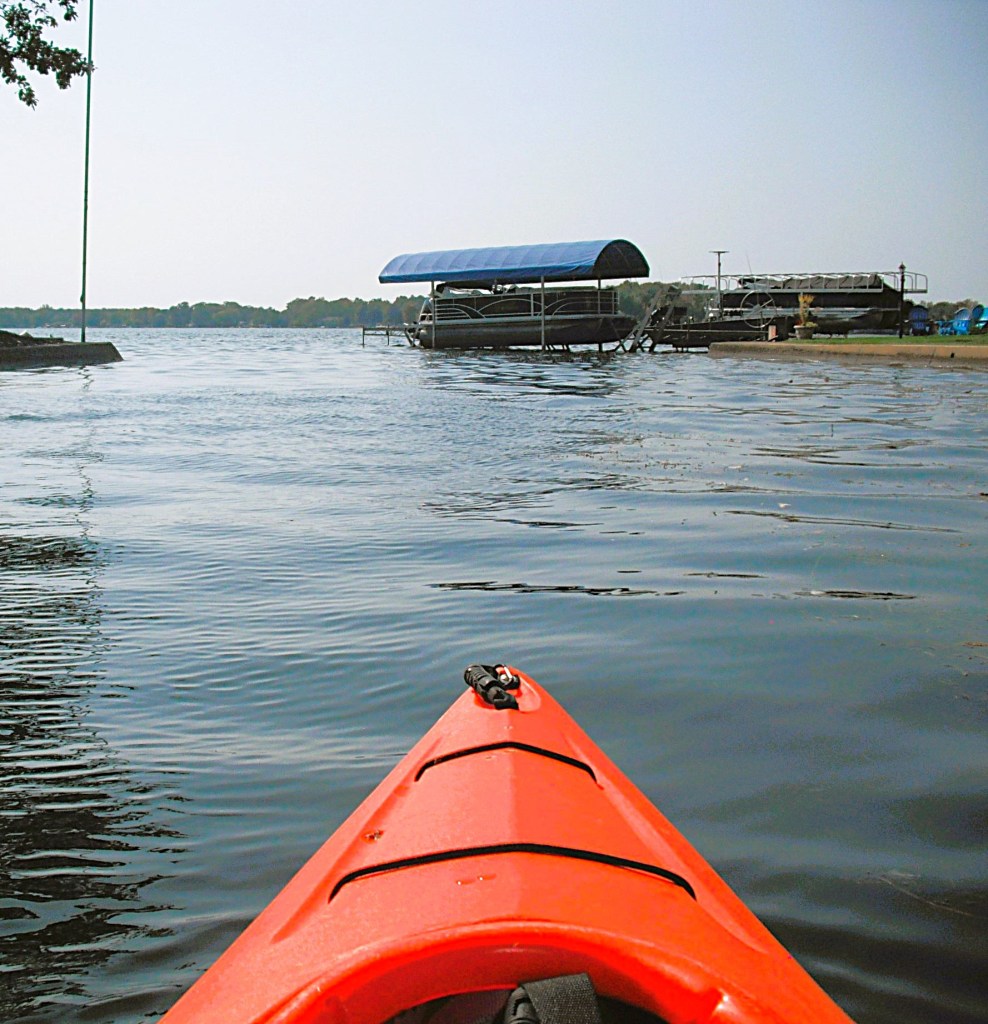
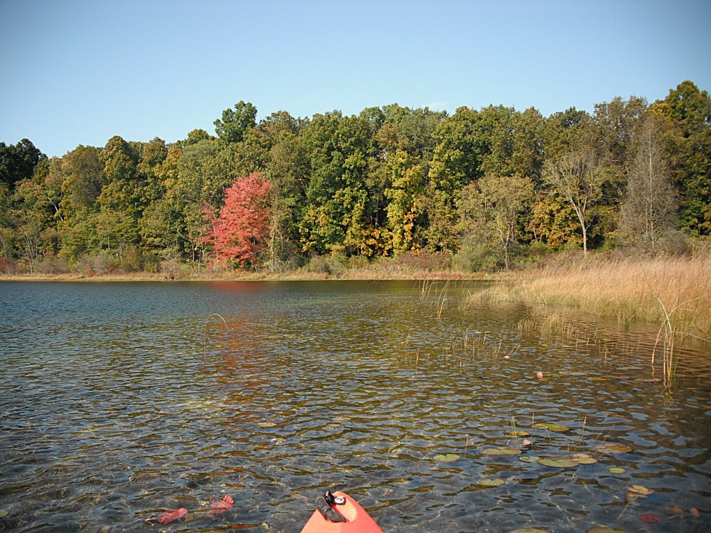
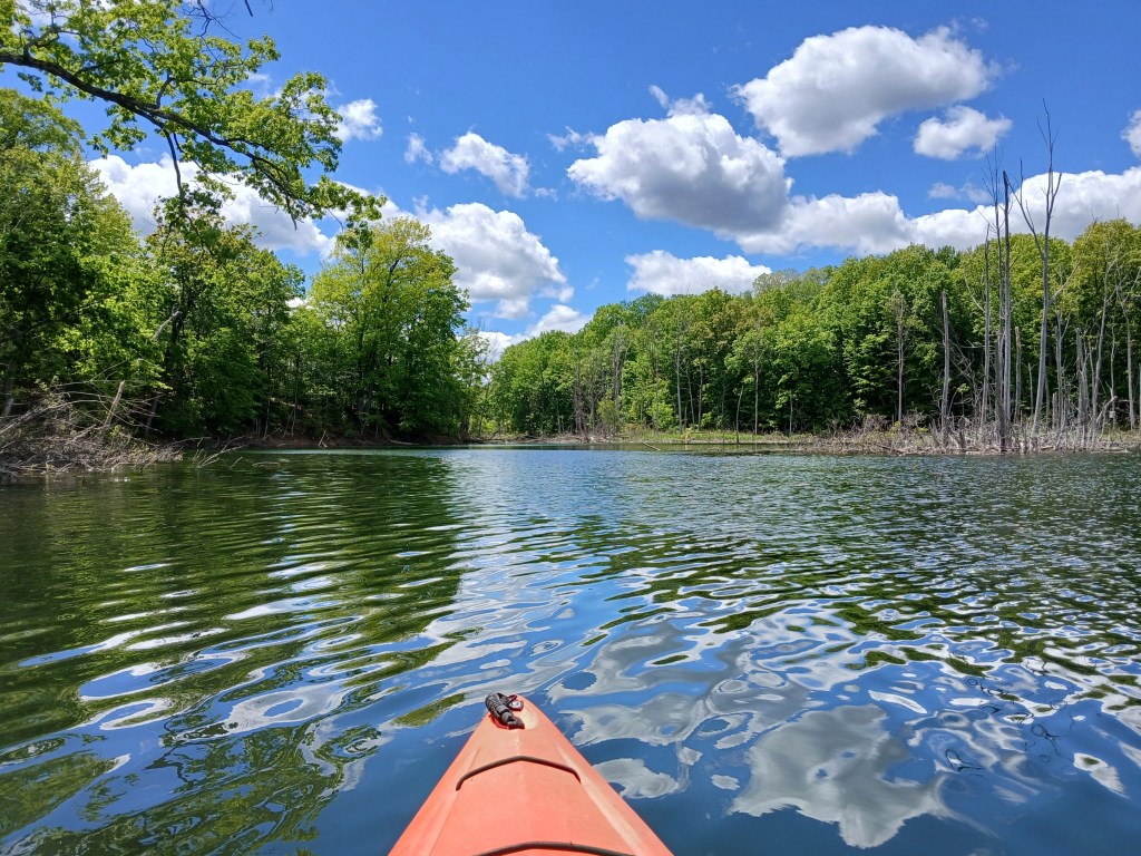
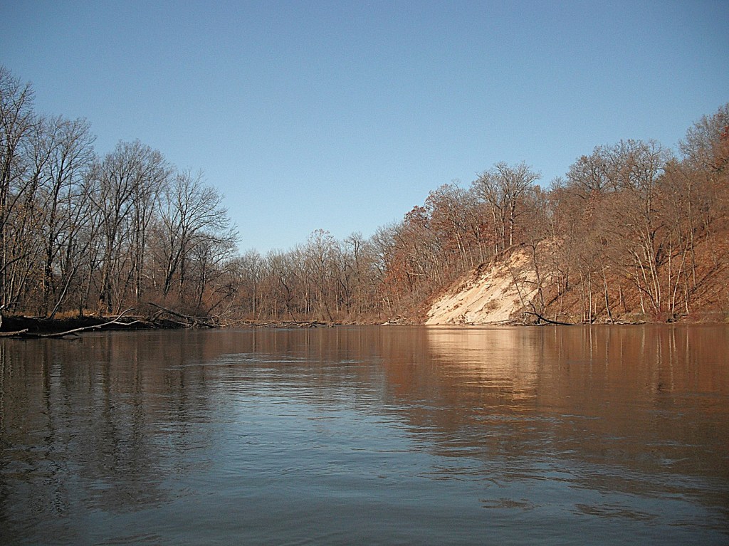
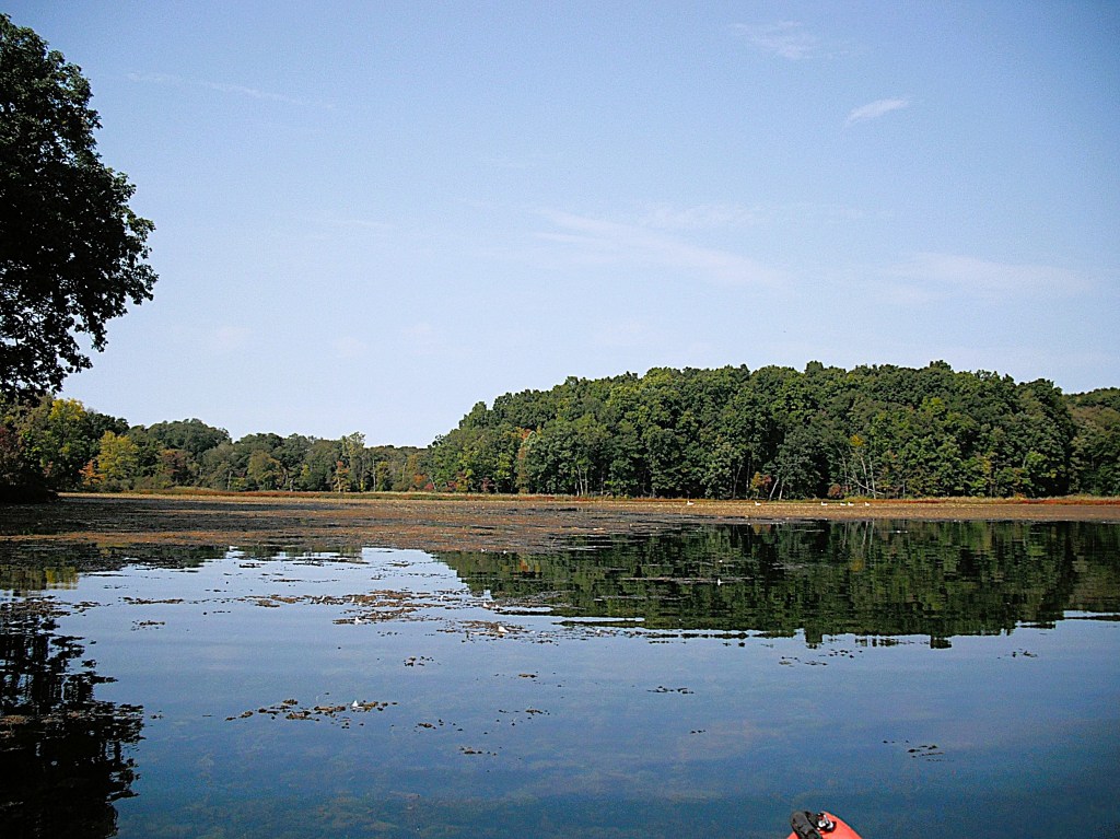
The other end of the cove opened up to the south end of the main basin of the lake!

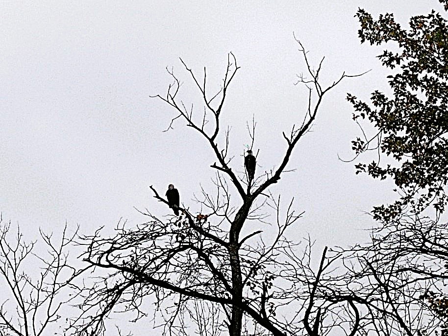
If you explore every nook and cranny of a waterway, you’ll be surprised at what you may find!

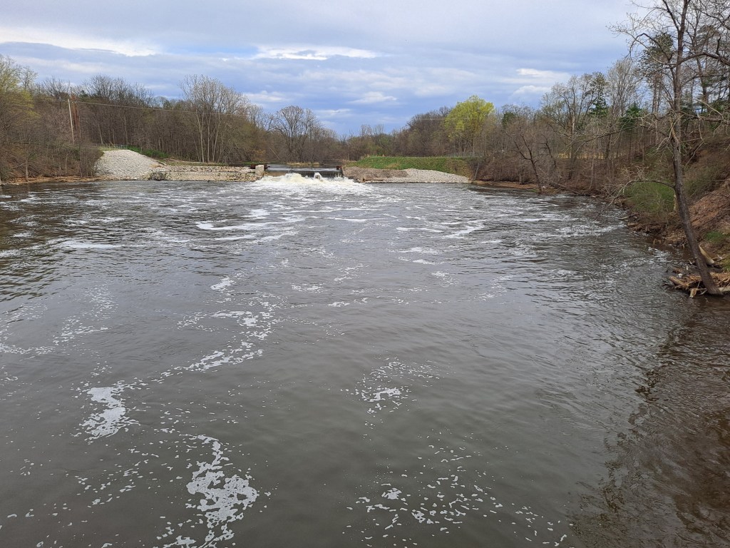
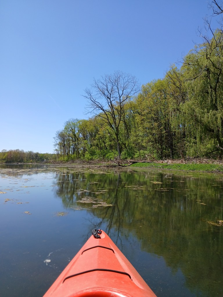
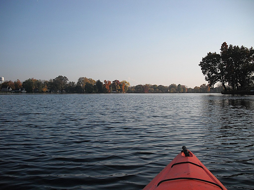
The dam and spillway standpipe are located on the south side of the main basin. Downstream from the dam, Gull Creek continues on its journey to the Kalamazoo River.

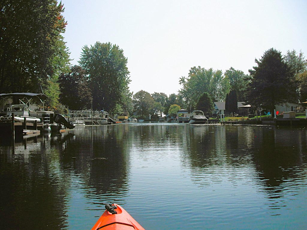
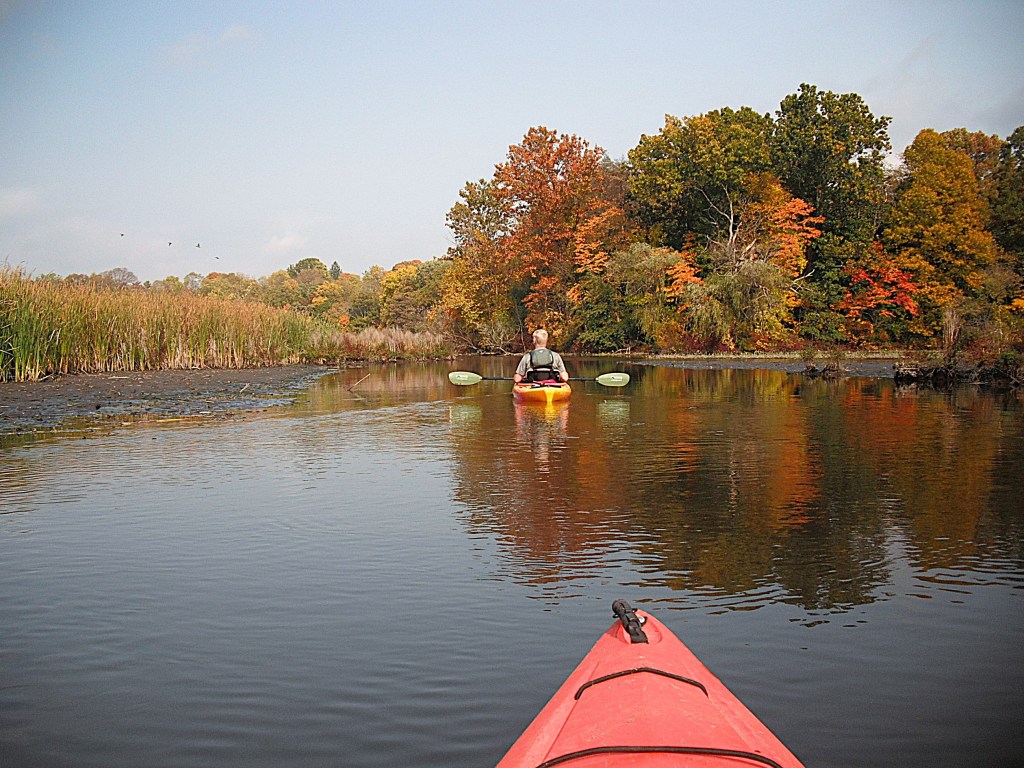
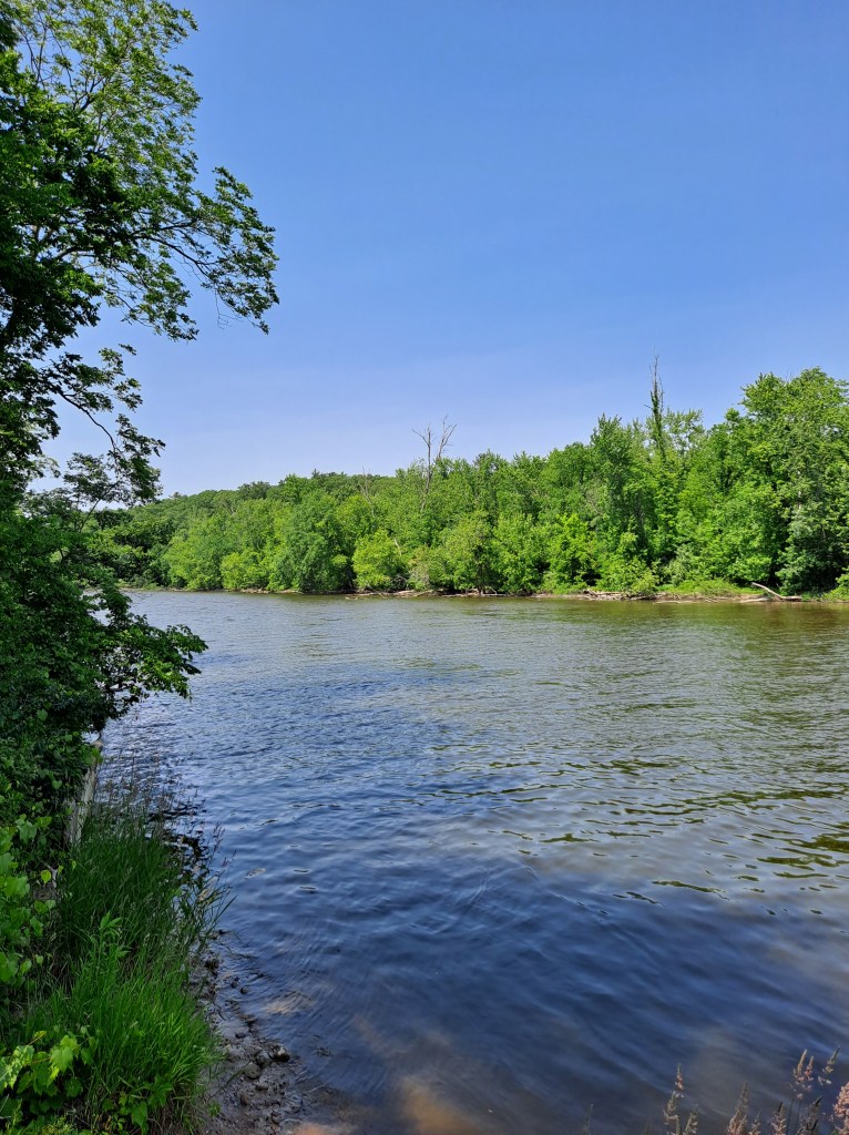
I headed north along the west shore, checking out the lake homes as I paddled toward Gull Creek. A flock of six mute swans decided to paddle up the creek in front of me.

The creek became narrow as I got close to the swans. I didn’t want to get close to them, but I needed to get past them to get to the landing. They became very annoyed and frantically took off, their wings splashing the water and whipping the cattails. Too close for comfort! It took them forever to get airborne and I was glad to get rid of them. They made me a little nervous. I continued paddling upstream to the creek access.

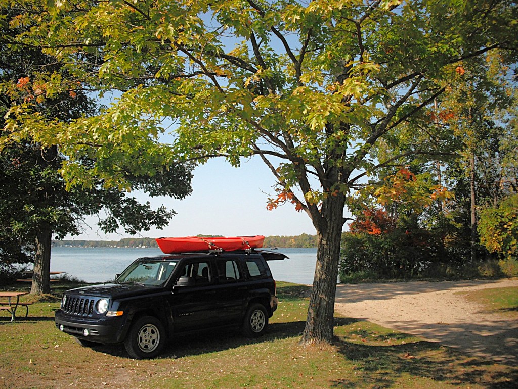
I reached the access site at the bridge and managed to get my boat over the rocks and up to the road without falling down. Lucky me!

I enjoyed kayaking Howlandsburg Mill Pond and I put it on my “visit it again” list.

CHIEF NOONDAY LAKE to GUN LAKE WATER TRAIL, BARRY COUNTY

YANKEE SPRINGS

Being retired means that I have a lot of free time to think up cool kayaking adventures and then paddle them. If you go on this trip, you won’t be disappointed. It involves paddling from Chief Noonday Lake to Gun Lake via Payne Lake and Payne Creek. This voyage is suitable for kayakers of all skill levels. There is a highway that must be portaged. The dynamic duo of Ron and Dan hit the water on a sunny weekday in late September of 2020.

To get to Chief Noonday Lake, head north on Briggs Road from highway M179. The well-hidden entrance to the access site is on the east side of the road, at the beginning of a curve. It is marked by a tiny sign. It’s easy to drive right by without seeing it.

The lake is within the Yankee Springs State Recreation Area. It is shallow and weedy. The shoreline is wooded with a wetland on the south side.

Chief Noonday Outdoor Center is on the east side of the lake. The center was built in 1938-39 by the Civilian Conservation Corps and is listed on the National Register of Historic Places. It is similar to the nearby Long Lake Outdoor Center. We beached our kayaks next to a dock and took a short hike through the outdoor center. The original old cabins and buildings are scattered throughout the scenic forest.

We returned to our kayaks and paddled the shoreline to the northwest corner of the lake.

We followed a channel that goes through a culvert under Briggs Road.

The culvert is too narrow to paddle, so you must pull yourself through by hand. A thank you goes out to the paddlers who earlier cleared the spider webs from the culvert. The channel empties into the northeast corner of Payne Lake.

The shore of Payne Lake is lined with homes and cottages.

The land on the southwest side of the lake is a sizable parcel of the Yankee Springs State Recreation Area and includes the lake access site. We stopped at this boat launch for a lunch break. This site is yet another one of my world class swimming holes.

We paddled the recreation area shoreline south to the outlet, Payne Creek. The outlet is hidden in a small area of cattail marsh. The short waterway through the cattails will take you to the portage over highway M179. The water is deep next to the culverts, so be cautious.

The first part of Payne Creek flows south through a cattail marsh bordered by woods. The east side of the creek is Yankee Springs State Recreation Area and the west side is undeveloped private property.

The creek twists and turns so much that it seemed like we were paddling in circles. The stream eventually flows through a wooded area and is lined with an abundance of water willows. The slender stem of the water willow bends over and the tip roots, forming a loop. If your kayak or paddle enters the loop, the root pulls out and smears you and your kayak with mud!

After passing under a dilapidated bridge, the scenic creek transitions to a channel lined with homes and empties into the north end of West Gun Lake.

We paddled east along the recreation area shoreline and took a break at the Gun Lake Unit Campground Beach. We continued following the coastline east past the campground and then south past another beach. We ended our trip at the Gun Lake Unit Canoe/Kayak/Small Craft Launch Site, just south of the second beach.

The park entrance is on the west side of Briggs Road, south of highway M179. Follow the park signs to the boat landing.

After paddling this water trail, you’ll have to agree that it is indeed a epic voyage!

SHAW LAKE TO BASSET LAKE WATER TRAIL, BARRY COUNTY

YANKEE SPRINGS

Basset Lake

This trip takes place in the north end of Barry State Game Area, in the Thornapple River watershed. It involves paddling from Shaw Lake to Basset Lake by way of Shaw Creek and Basset Creek. Kayakers have another option: begin at Basset Lake and finish at Shaw Lake. The two lakes are only a half mile apart as the crow flies, but in creek miles, it is easily double that distance. Paddlers can spot a vehicle or take a round trip.

I preferred to start my trip at Shaw Lake. The entrance to the primitive public access is on the south side of Shaw Lake Road, between Bender Road and Kiser Road. Shaw Lake Road curves around the north end of Shaw Lake and you can see the lake from the road. A improved trail will take you to the east shore of the small lake.

A shoreline cruise is a good way to start the trip.

Shaw Creek begins at the south end of Shaw lake.

Head downstream on Shaw Creek to Basset Creek.

Paddle upstream on Basset Creek to Basset Lake

Some waterfront homes and cottages are on the lake, but the game area shoreline is scenic.

Turner Creek flows into the west side of Basset Lake. I paddled up the creek until it became overgrown with brush.

I paddled back to the lake and ended my trip at the Basset Lake boat landing.

The vehicle entrance to the Basset Lake public access is on the east side of Norris Road, between Bowens Mill Road and Shaw Lake Road.

KALAMAZOO RIVER, ALLEGAN COUNTY, TROWBRIDGE TO ALLEGAN

26th STREET BRIDGE TO HANSON PARK

It’s early October and still warm enough to kayak! I hooked up with my friend Dan for a Saturday color tour of the Kalamazoo River.

Kayakers of all skill levels will enjoy this stretch of the Kalamazoo.

Our voyage began at the 26th Street bridge over the Kalamazoo River. To get to the bridge, head south on 26th Street from highway M89, between the cities of Otsego and Allegan. Trowbridge Dam is next to the bridge.

The access site that we used is on the south side of the river, on the west side of the bridge. Parking is on the side of the road and a narrow footpath leads down a hill to the river, next to the bridge. There is another access that is right next to the dam, on the south side of the river. This boat landing is temporarily closed. The dam is being removed. The riverbed and the riverbank behind the dam are in the process of remediation from pollution.

The first part of the trip, from the access site to the Williams Road bridge, is remote.

There is no sign of civilization and the only sounds that you will hear are the river, the wind, and the woods.

There are islands to explore around. When trying to decide which side of an island to paddle, we always pick the channel that looks more difficult. We enjoy the challenge. We came upon a large island about halfway between 26th Street and Williams Road. The easy route is the north side of the island. We took the more difficult south channel. We had to get out of our kayaks several times to portage trees and log jams that blocked our progress. The extra work was worth it. The south channel was exceptionally scenic.

We continued on with our voyage and stopped for lunch at the mouth of a tiny stream, just upriver from the Williams Road bridge.

Downstream from the bridge, the current very gradually slows, almost to a stop.

The river gradually widens into a lake, the backwater of Allegan City Dam in Allegan.

About halfway between Williams Road and Allegan, we encountered two Bald Eagles perched high up in a dead tree.

We quietly paddled toward them until we were only two hundred feet away. We didn’t want to disturb them by getting any closer. They squawked at each other for a little while. I think they were talking about us. We enjoyed their company, but it was time to head downstream.

The river remains scenic as you enter the outskirts of the city of Allegan.

The river makes a sharp turn north and enters a lowland delta, with islands and channels. We arbitrarily picked a channel that traveled the east side of the delta.

We were rewarded with terrific fall colors along the wooded shoreline.

The channels of the delta merge into a wide waterway just upstream from the M89 bridge. After passing under the bridge, turn left, northwest. Hanson Park and the boat landing are dead ahead. The park has a wide dock flanked on each side by attached boat slides with grab rails. It’s the nicest kayak landing I’ve ever seen. Thank you, Allegan!

Hanson Park is easy to get to by vehicle. Drive a hundred feet north of the M89 and M40 intersection. Turn east on Hubbard Street. The entrance to the park is on the south side of Hubbard Street, between the Griswold Auditorium and the Allegan District Library.

This stretch of the Kalamazoo River, from Trowbridge to Allegan, offers beautiful fall colors and is equally enjoyable during the rest of the kayaking season!

TWIN LAKES, KALAMAZOO COUNTY

Twin Lakes are located on Ravine Road in Kalamazoo County and the road separates the two lakes. Twin Lakes are named collectively, but not separately. I will name them for their geographical position: Twin Lakes East and Twin Lakes West. Twin Lakes East lies on the border of Cooper and Kalamazoo Townships. Twin Lakes West is in Alamo Township. The access for the two lakes is a spot where they are closest together, on Ravine Road, between Winding Way and 12th Street. There is no formal boat landing. Launch and parking are at the side of the road. The speed and close proximity of the traffic can be rather unnerving when loading and unloading. Be mindful of the “no parking” signs. I always park on the shoulder, as far from the paved surface as possible. I’ve never been ticketed. Knock on wood!

TWIN LAKES EAST

Twin Lakes East is not very popular for boating or fishing because of excessive aquatic vegetation growth. During summer, much of the lake is covered by algae and other vegetation. I kayaked the lake in early May and the algae was limited to shoreline areas. I recommend kayaking the lake in early spring, before the vegetation blooms. Another option is late fall, after the seasonal vegetation die-off. On my May trip, I observed hundreds of carp in the shoreline shallows. Many of them were in a foot of water or less with their backs out of the water. Fun to watch!

About a third of the shoreline is developed with homes, all on the south end of the lake. Most of the photos feature the undeveloped portions of the lake. A large farm is situated on the north corner of the lake. If the wind is from the north, kayakers can expect an unpleasant odor coming from the farm.

The boat landing area is on the northwest end of the lake.

Some parts of the lake are bordered by dead trees and dead brush.

An island is on the southwest end of the lake.

My favorite part of the lake was the undeveloped northeast shore.

Despite all of its negatives, I found Twin Lakes East to be an enjoyable lake to kayak.

TWIN LAKES WEST

Twin Lakes West is the more scenic of the two lakes.

There are a few homes on the east end of the lake. The homes are concentrated in two spots. The rest of the lake is undeveloped. Some kayakers may not like Twin Lakes West because of the road noise from highway US131. This is especially true on the far west end. Also, a power line interrupts the landscape on part of the lake.

In the summer, some parts of the lake are overgrown with aquatic vegetation. Most of the lake remains open and is easily paddled. There are a lot of dead trees and dead brush along the shoreline.

Twin Lakes West consists of a south basin and a north basin that are connected at the narrows. The boat launch area is on the east end of the south basin.

The west side of the south basin offers a scenic shoreline to paddle.

On the north corner of the south basin, the narrows provides access to the north basin.

As you enter the north basin, there is a cove to explore to the east. This photo looks west from the back of the cove. It may be coincidence, but I always seem to find something interesting in this cove. On my latest visit, I watched two huge snapping turtles fighting. I was only four feet away from them!

I recommend kayaking the shoreline of the north basin. Ravine Road travels along the north shore of the north basin, but it’s not all that noticeable.

In the northwest corner of the north basin, a small area on shore has been cleared of brush. It’s a good spot to get out of your kayak, stretch, and take a break. The narrows is straight across the lake.

There are two ponds connected to the southwest corner of the north basin.

I think that the ponds are the highlight of the lake. The only drawback is their close proximity to US131 and the accompanying noise. The channel to the ponds is easy to find.

The ponds are a cool place to explore.

On one of the ponds, I blazed a water trail through the woods and ended up on the south basin. The following photos trace my route through the flooded brush and trees. During low water levels, the water trail may be impossible to paddle.

It’s unusual to find a lake that’s mostly undeveloped, yet close to a large urban area. Here’s one last look at Twin Lakes West.

GOURDNECK CREEK, KALAMAZOO COUNTY, PORTAGE TO VICKSBURG

It was late October. It was raining while I was loading my kayak on top of my Jeep. The neighbors probably thought that I was a little nuts. I questioned my sanity, but the weatherman said it was going to be nice. I met up with my friend Dan at the Gourdneck State Game Area boat launch on Hogset Lake. The access site can be reached by heading north on a improved trail from U Avenue, between Oakland Drive and 18th Street. There is also a Hogset Lake access site at Prairieview County Park, also on U Avenue, between 18th Street and Portage Road. Dan’s son, Tyler, a budding outdoorsman, helped us with transportation in his Chevy Colorado 4X4. Thank you, Tyler!!

This voyage is for kayakers of all skill levels. However, there is a short stretch of the creek between Portage Road and 23rd Street that may deter paddlers from making this trip. Deep in a cattail marsh, the creek was blocked by a bunch of floating cattail islands. These islands broke away from the cattail bed and floated downstream, collecting in narrow spots. The cattail islands were packed tightly together and we could not force our way through. There were no openings in sight. Most sane people would turn around and go back, but not us. Quitting is for sissies.

The only tactic that worked was to stay in our kayaks and go over the cattails by grabbing the cattail stalks on both sides of our kayaks, pulling our boats over them by hand. Dan is a youngster in his mid-fifties and is very agile. At one point, he got out of his kayak and stood on a slowly sinking cattail island and pulled his boat through! Once he got back in his kayak, he managed to reach over and pull my boat on top of the cattail clump, so I could pull myself through.

It was hard work and it took us a half hour to go forty feet. I want you to be aware of this creek blockage if you are planning to make this trip. These conditions may change over time. Maybe the creek will be open when you take this voyage.

Back to the start of the trip!

The temperature was a cool fifty degrees when we shoved off from the landing. The lake was shrouded in fog. The fog would gradually lift and the temperature would climb to a more comfortable seventy degrees by the end of our trip. We paddled Hogset Lake north to the channel that leads to Gourdneck Lake. Exiting the channel, we paddled east along the south shore of Gourdneck Lake to Gourdneck Creek.

The north side of the creek, between Gourdneck Lake and Portage Road, is lined with homes. The south side is mostly undeveloped.

You can paddle under the Portage Road bridge with plenty of headroom.

Downstream from Portage Road, the creek flows through a cattail marsh.

The marsh is bordered on each side by a wooded corridor.

There is a drawbridge over the creek.

Parts of the creek are covered with lily pads. It was fall and the pads were disappearing. In summer, the creek is choked with pads, making the trip difficult.

It was deep in this marsh that we encountered the channel that was blocked by floating cattail islands. After negotiating the blockage, we celebrated with a well deserved beer.

We continued through the marshland. The 23rd Street bridge was coming up.

At the bridge, the banks on the side of the road are steep. The shoreline next to the bridge is covered with cattails and brush. Portaging was not an option.

We slouched down in our kayaks and barely made it under the low bridge. During periods of high water levels, you may have to get out of your boat and wade it under the bridge. I did just that on a previous trip. Downstream from the bridge, we paddled by the backyards of a row of homes. Just past the homes, Austin Lake Drain joins Gourdneck Creek. Gourdneck Creek zig-zags between the wooded corridors on either side of the creek bottom.

Next, the creek enters a huge cattail marsh.

After a while, the current slowed to a stop and the creek widened as we entered the north end of Sunset Lake.

The long, narrow north end stretches for a mile and a quarter to the main basin of the lake.

We paddled south along the west shore of the main basin to Sunset Lake Park, where we ended our trip.

The blocked creek channel tested our kayaking skills and our determination got us through. We both agreed that this was one of our biggest challenges of the kayaking season. I could say that this trip is one of our favorites, but every trip is a favorite!

KALAMAZOO RIVER, ALLEGAN COUNTY, ALLEGAN DAM TO THE PIPELINE LANDING

It was early November and the forecast called for seventy degrees and sunny! My friend, Dan, is a enthusiastic paddler and he agreed that it was time for another river trip.

We decided on a stretch of the Kalamazoo River that flows through Allegan State Game Area, more commonly known as Allegan Forest. I think that you will enjoy this trip because of its remote location. There are only a few trails that penetrate the forest for river access. Even though the trees had lost their leaves, the scenery did not lose its beauty.

We started our voyage at Allegan Dam, also known as the Calkins Dam. The MDNR Access Site has a large parking lot, a vault toilet, and a boat ramp. Take Allegan Dam Road west from highway M89. That intersection is northwest of the city of Allegan. The dam is three miles from M89. The access site is on the east side of the river. The lake created by the dam is Lake Allegan.

The river is wide and flows basically northwest from the dam. The current is slow to moderate. This trip is suitable for all kayakers, regardless of skill level.

The first portion of this trip, between Allegan Dam and the M89 bridge, is bordered by large marshes on the west side of the river. M89 is also called 124th Avenue.

There is a wooded corridor between the marshes and the river along most of this stretch.

The first marsh downstream from the dam is the Koopman Marsh. Farther downriver, Swan Creek flows into the river from the southwest. Once you pass the creek mouth, you will notice a dike on the west side of the river that runs all the way to M89.

The dike was built to create the Swan Creek Marsh, better known as the Highbanks Marsh. A portion of Swan Creek is diverted to the marsh. Highway M89 serves as a dike on the north end of the marsh and is also the site of the marsh spillway. Steep hills mark the west side of the marsh. You will not be able to see the Highbanks Marsh from your kayak because of the height of the dike. The dike is posted: Wildlife Refuge, Do Not Enter. The MDNR keeps an eye on the dike and the marsh. On a previous trip, I was bold enough to get out of my boat, climb the dike, and view the marsh. It was a impressive sight, but I was in plain view and I was a little nervous about getting caught. We decided to stay in our kayaks.

The east side of this portion of the river, opposite the marshes, is wooded lowland. There are some scenic hills on the east side of the river as you get close to M89.

Sand Creek flows into the river from the north, just before the bridge.

The next portion of the trip, from the M89 bridge to the Pipeline Landing, is wooded lowland punctuated by tall hills. After you pass under the M89 bridge, you will come to a tall, steep sand hill that rises up from the water’s edge.

Just before you get to the sand hill, on the same side of the river, there is a bayou to explore.

Downstream from the sand hill, on the south side of the river, is another bayou to explore. The Palmer Bayou flows north from the Highbanks Marsh dam to the Kalamazoo River. We paddled up the bayou almost all the way to the dam at M89. We were stopped by fallen trees.

We headed back down the bayou to the river.

Heading downriver, we encountered a second sand hill. It wasn’t as high as the first one, but it was longer and just as steep.

Just like the last sand hill, there was a bayou to explore.

After passing this second sand hill, Bear Creek flows into the river from the north.

The river continues to meander through the forest. It was late afternoon and the shadows were getting long.

Soon, you will arrive at a petroleum pipeline that crosses under the river. The pipeline is marked by dilapidated signs on the shore. Past the pipeline and two river bends is the MDNR Pipeline Landing, on the south side of the river. The landing is at the beginning of a long straight stretch of the river. It marks the end of your trip.

These are views from the landing during June.

The Pipeline Landing is easy to find by vehicle. Turn north on 46th Street from highway M89. That intersection is a half mile west of the M89 bridge over the Kalamazoo River and nine miles east of the village of Fennville. When you come to a petroleum pipeline, the road curves to the west and is called 126th Avenue. Two hundred yards west of the pipeline, there is a unimproved trail that heads north from 126th Avenue to the primitive landing. 46th Street and 126th Avenue are seasonal county roads.

This remote section of the Kalamazoo River and its bayous rewards kayakers with solitude and beautiful scenery.