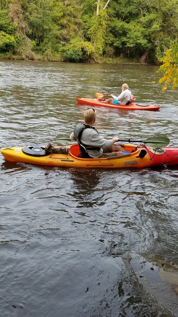
LONG LAKE, BARRY COUNTY

YANKEE SPRINGS

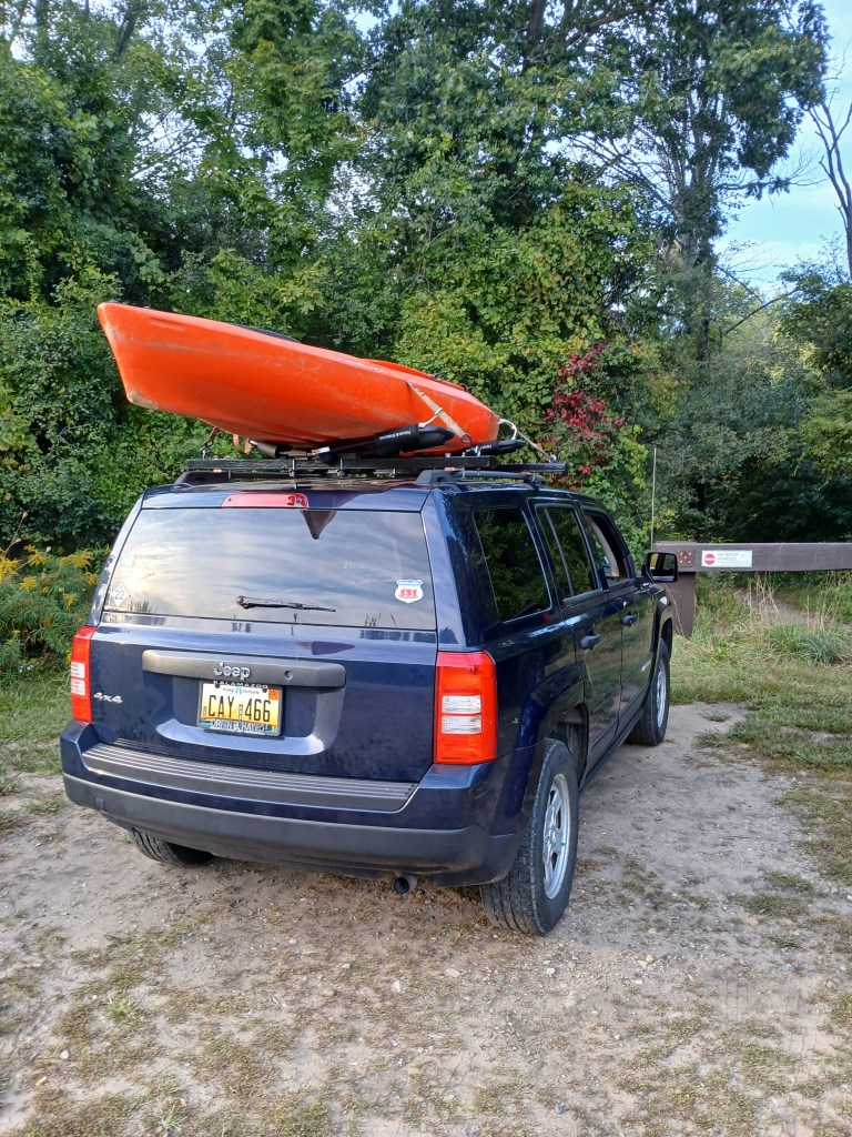
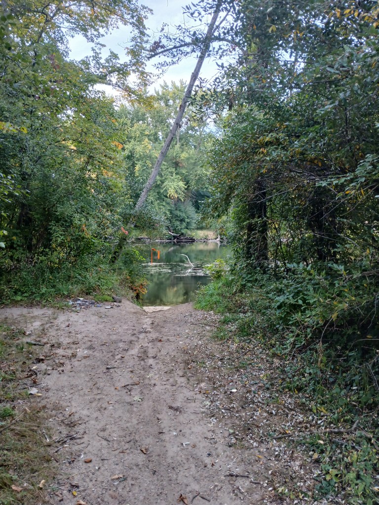
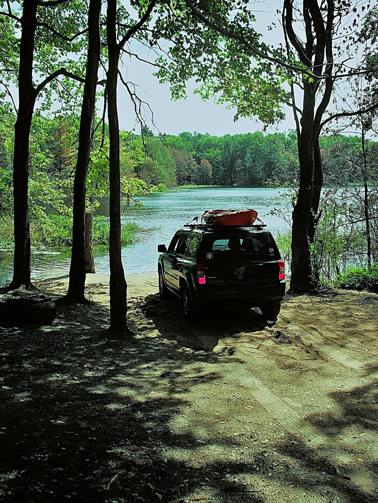
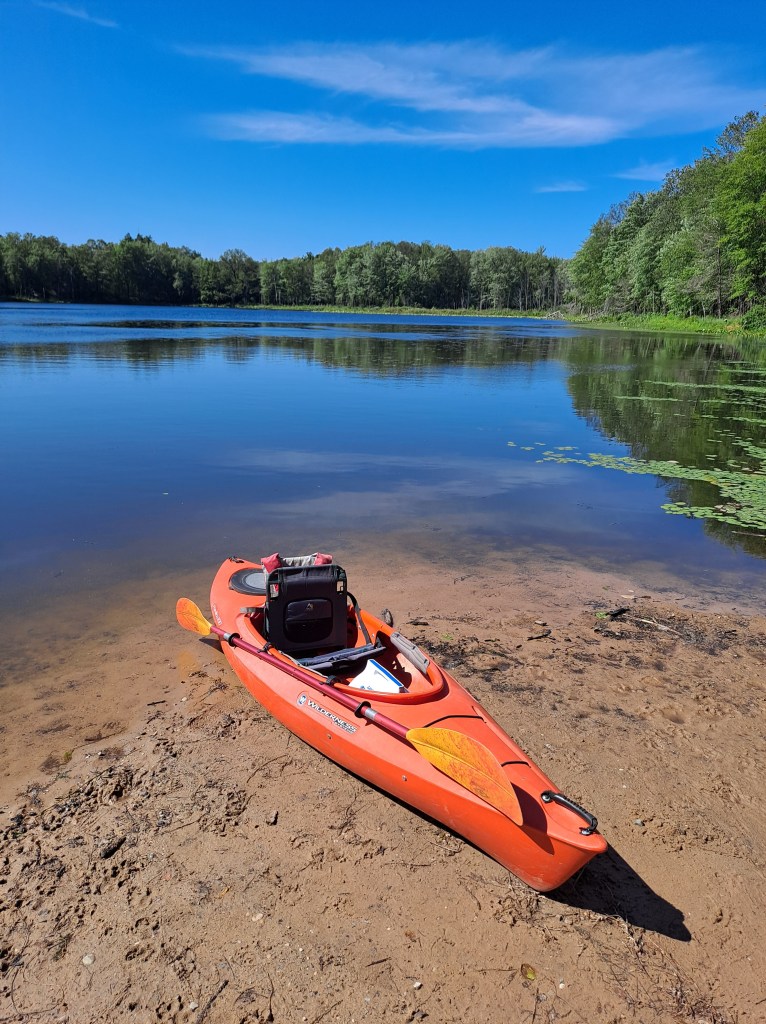
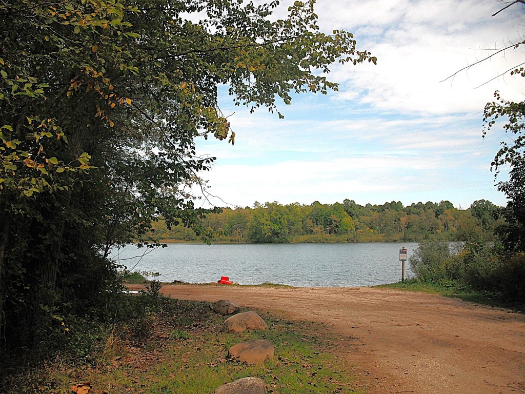
Long Lake (it actually is quite long) lies within the Yankee Springs State Recreation Area. To access the lake, head south on Briggs Road from M179. On the east side of the road, there is a sign that directs you to a improved trail leading to the boat launch.

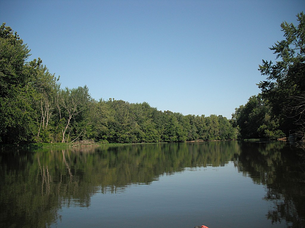
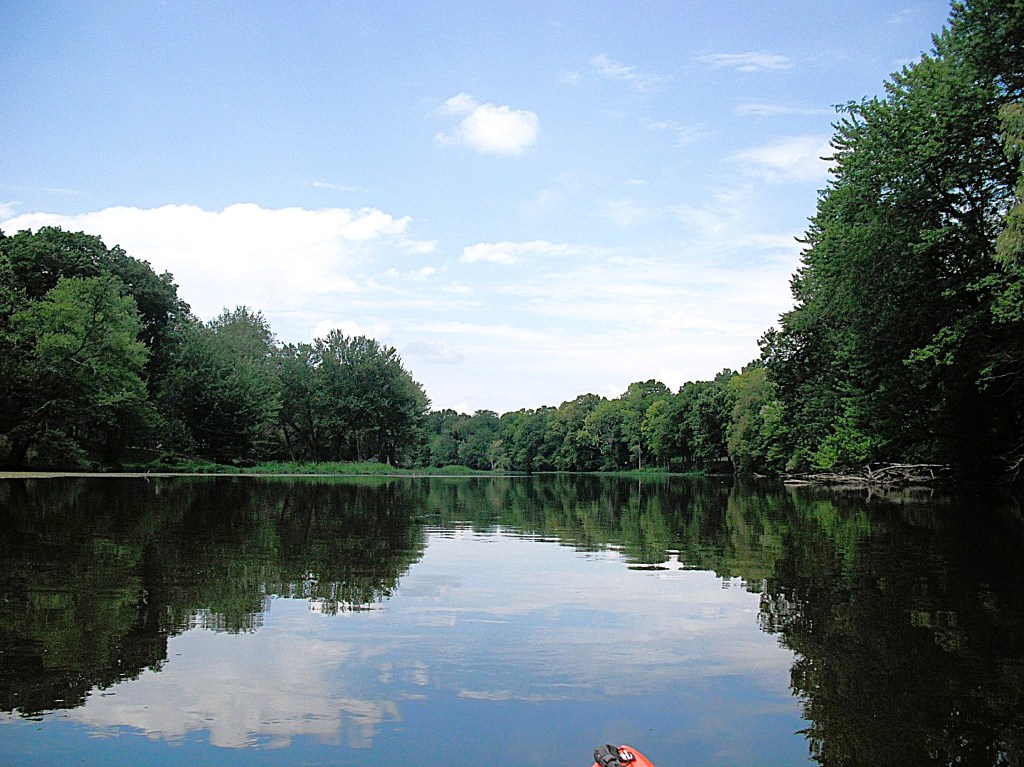
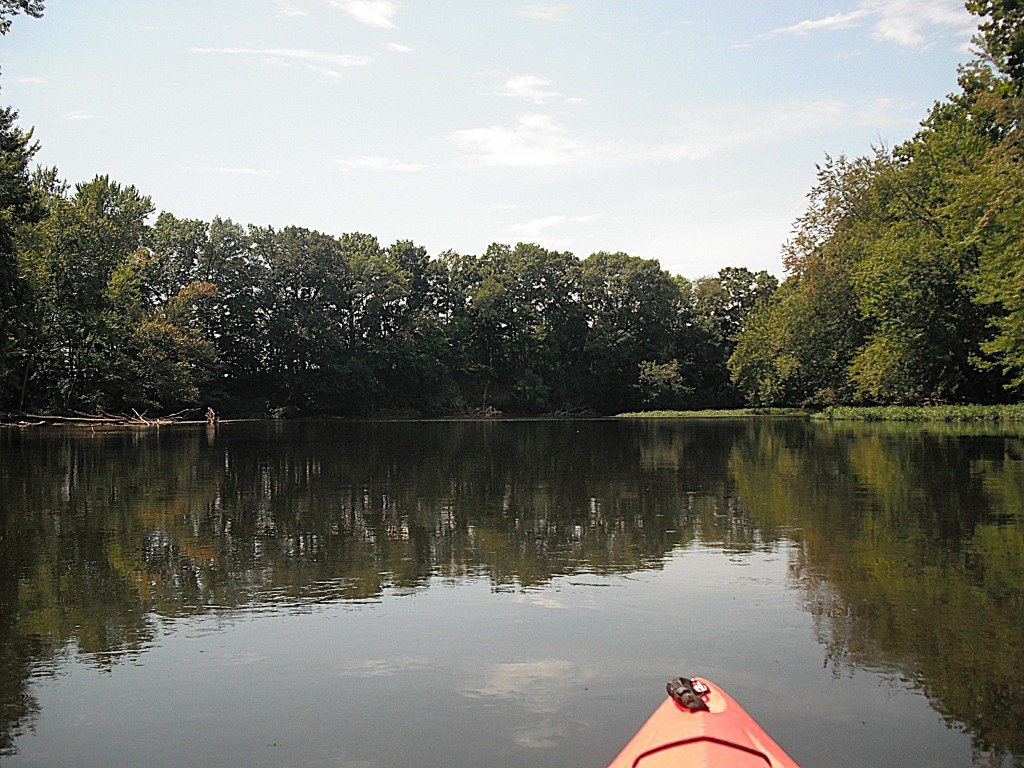
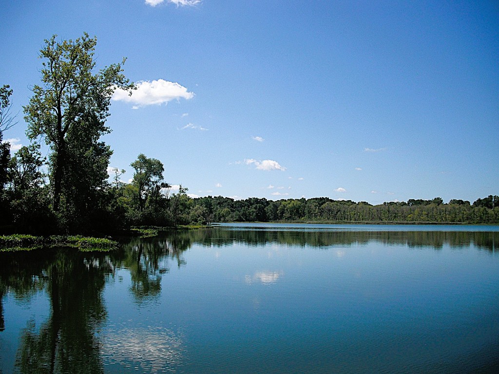
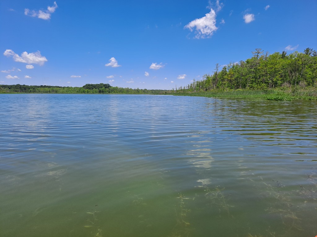
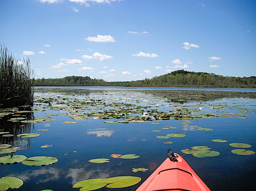
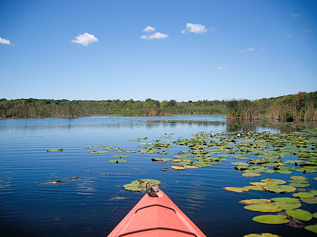
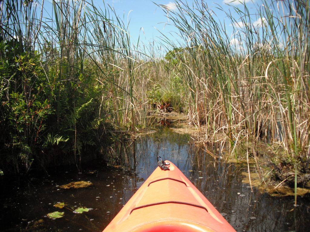
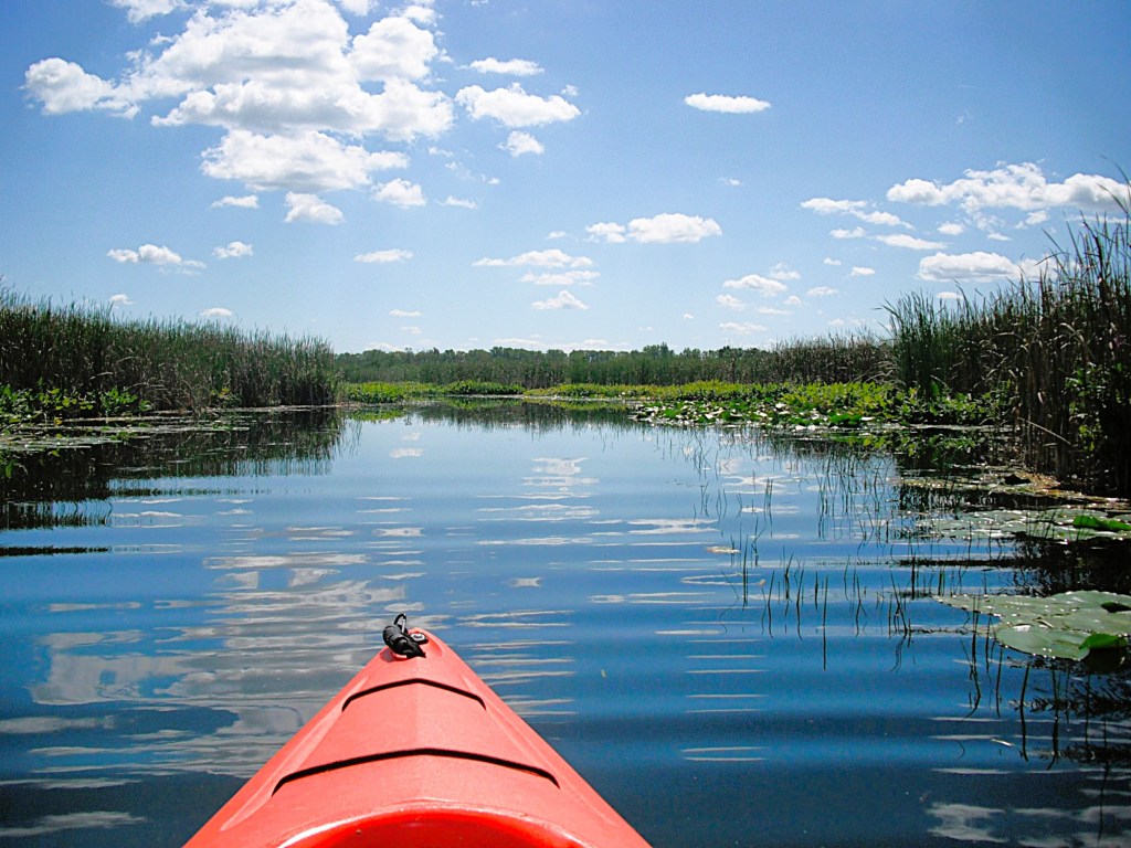
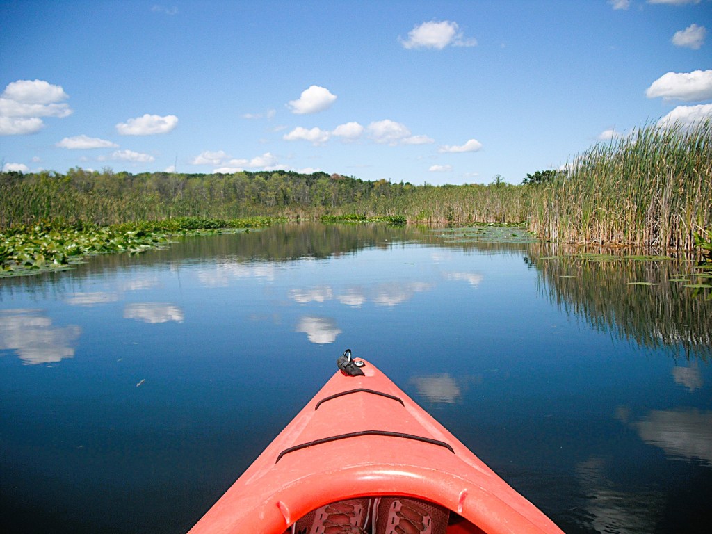
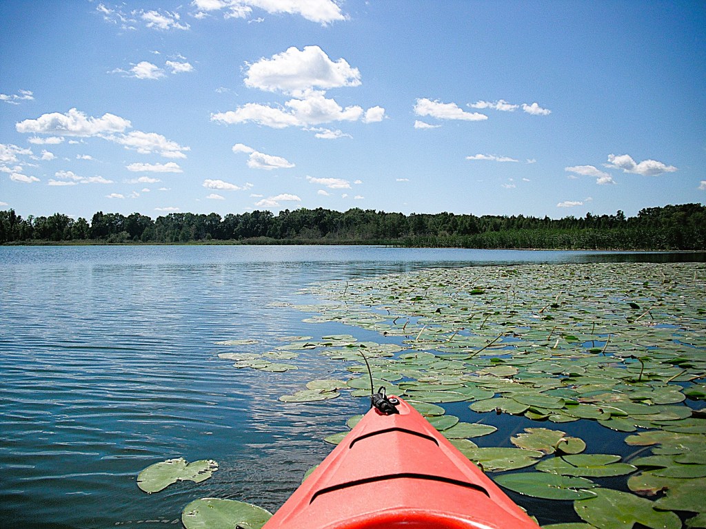
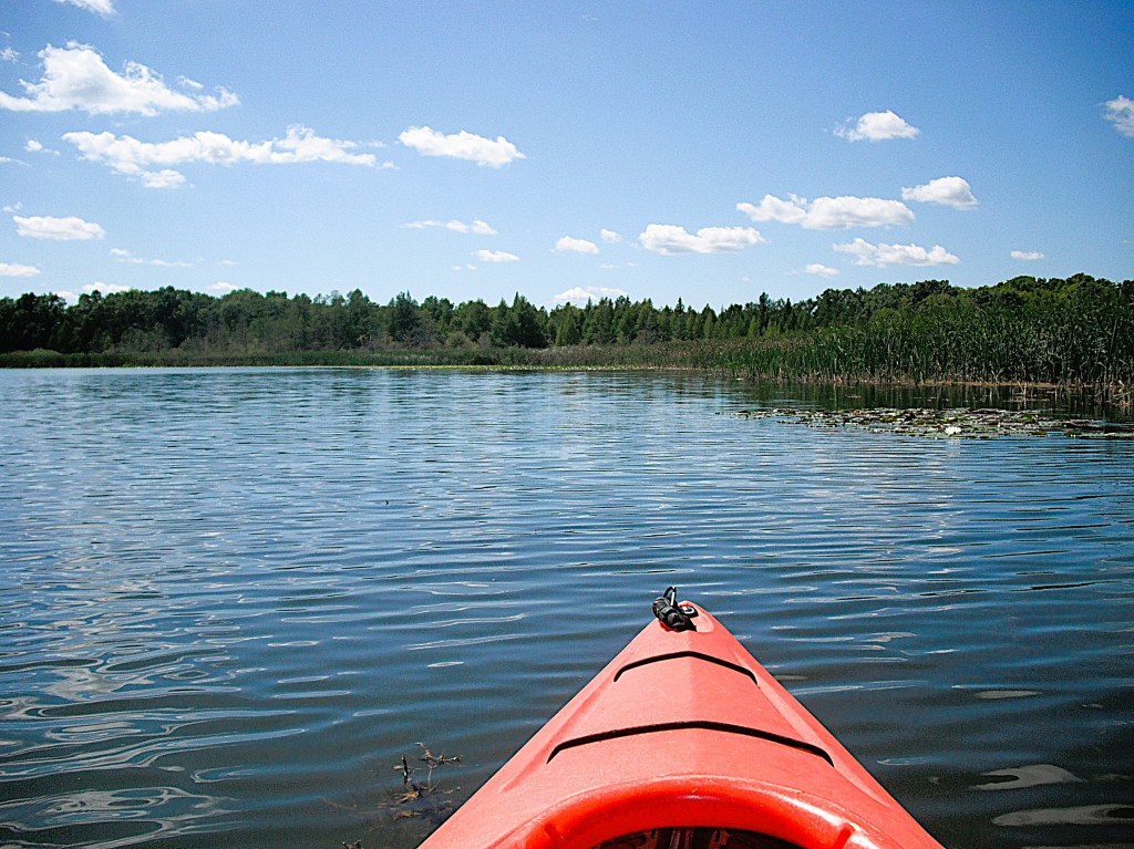
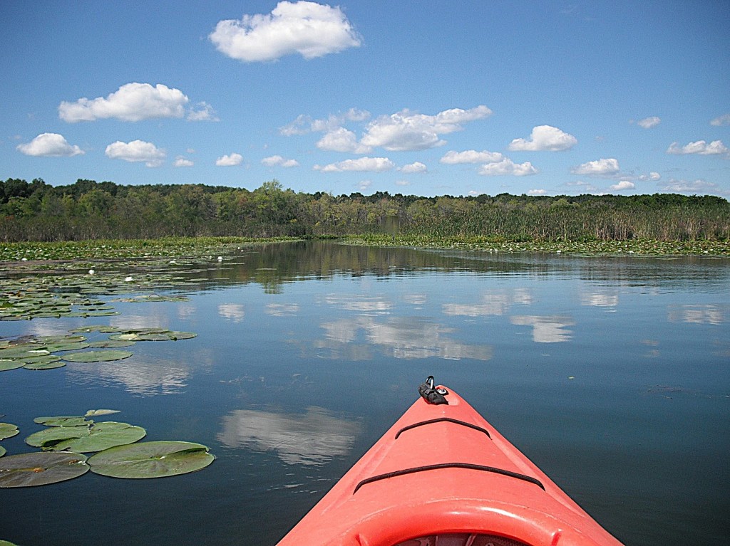
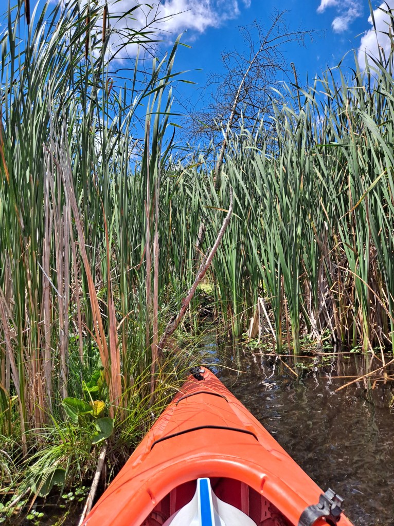
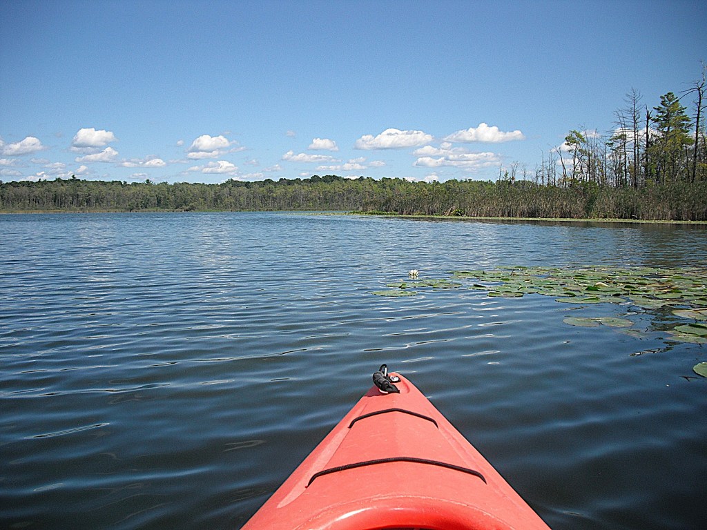
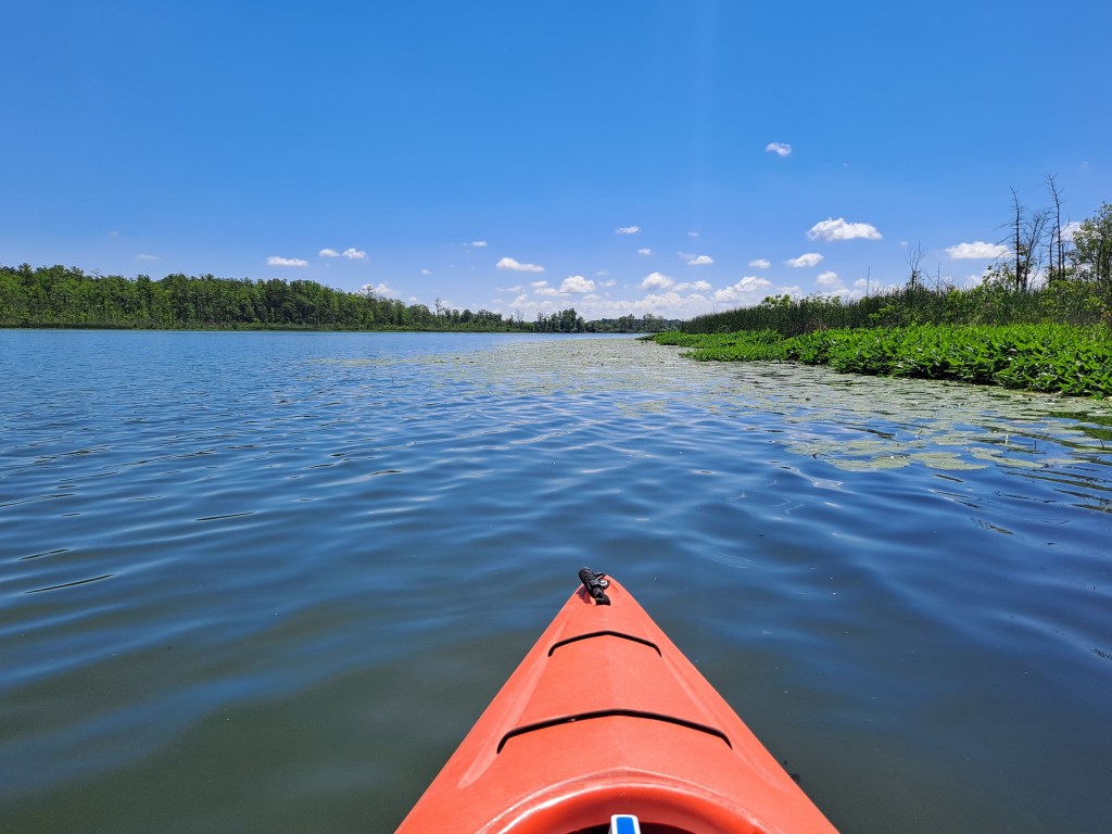
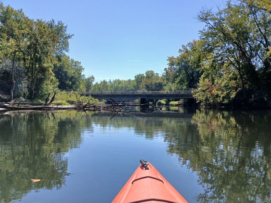
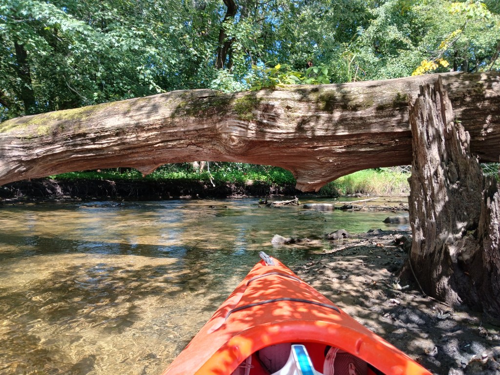
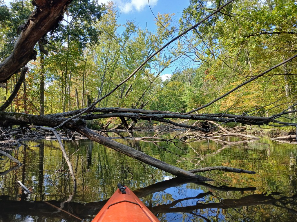
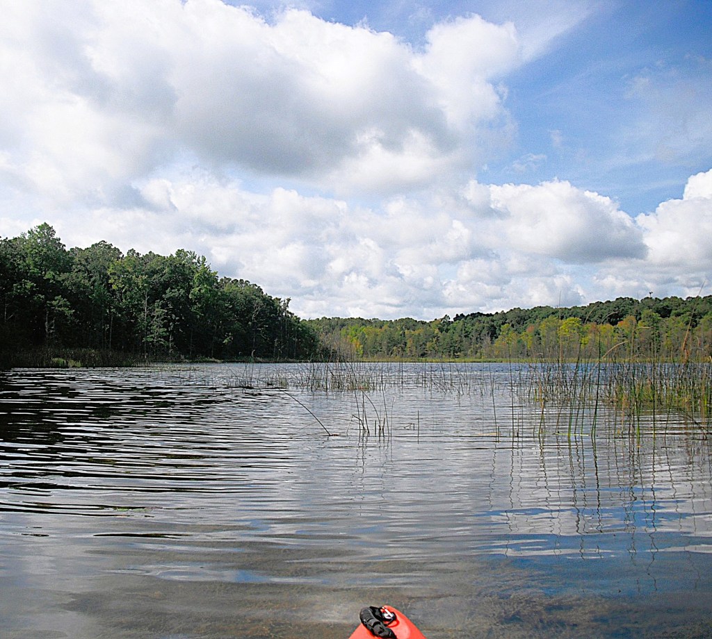
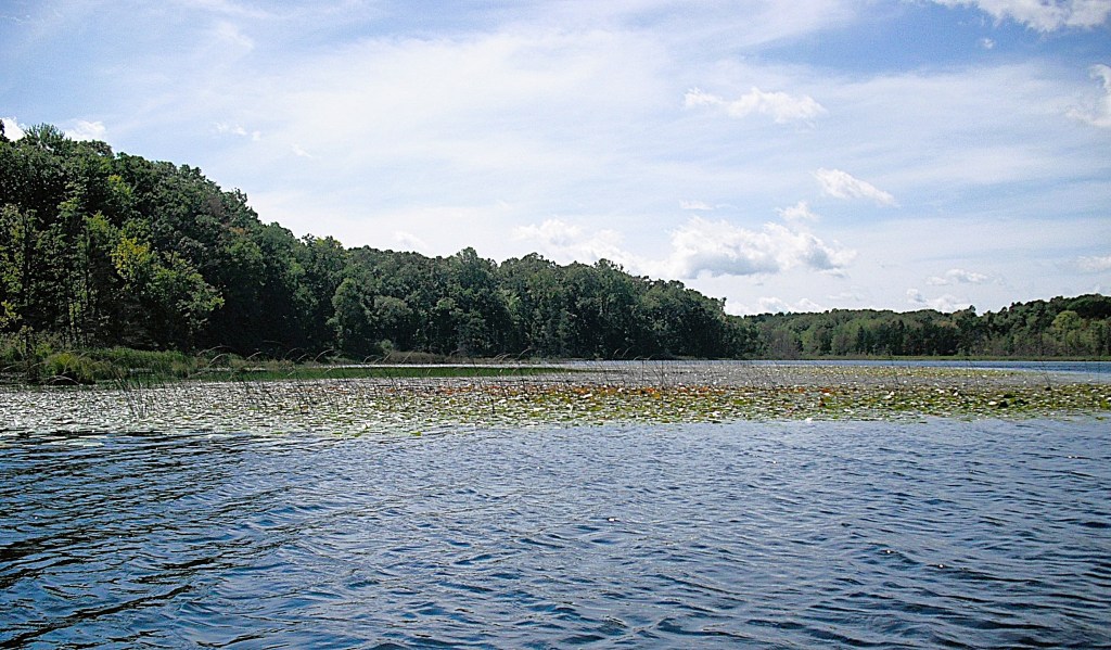
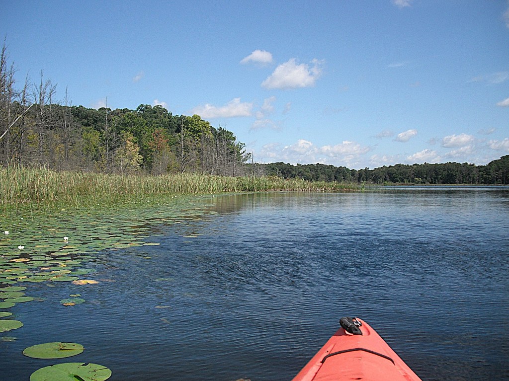
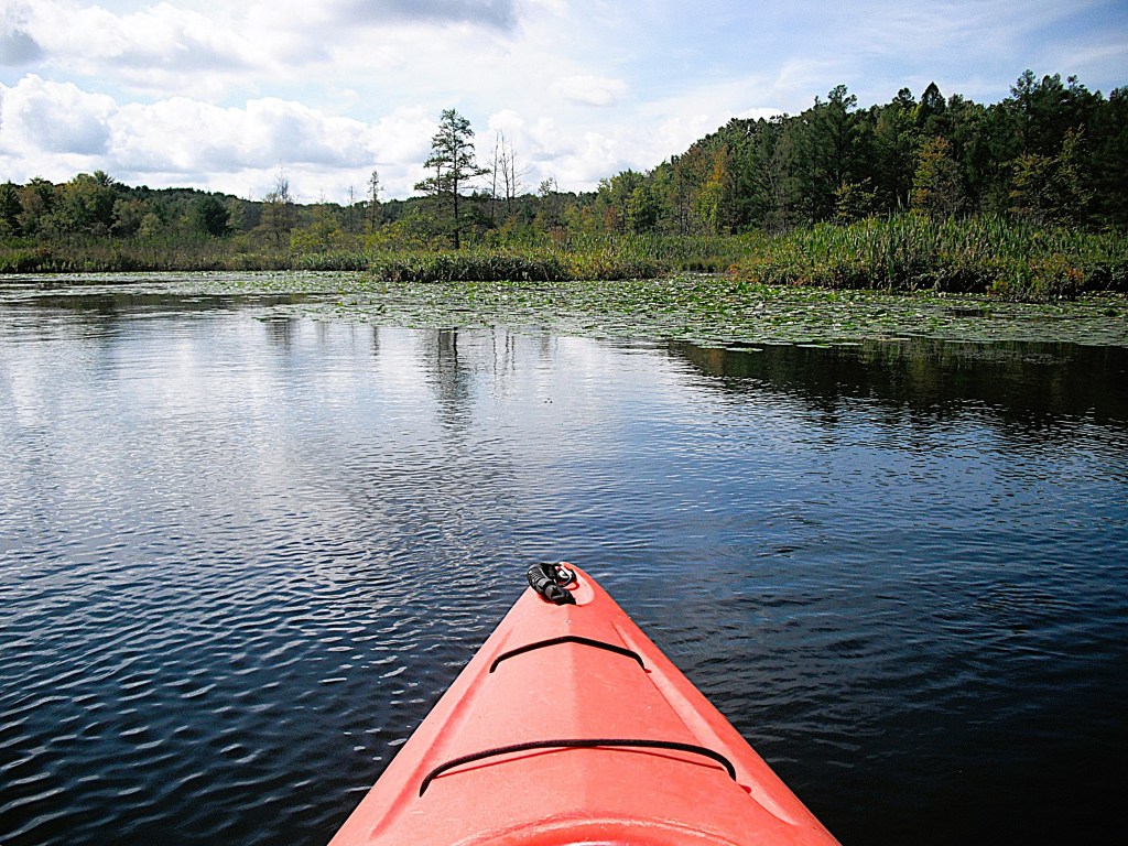
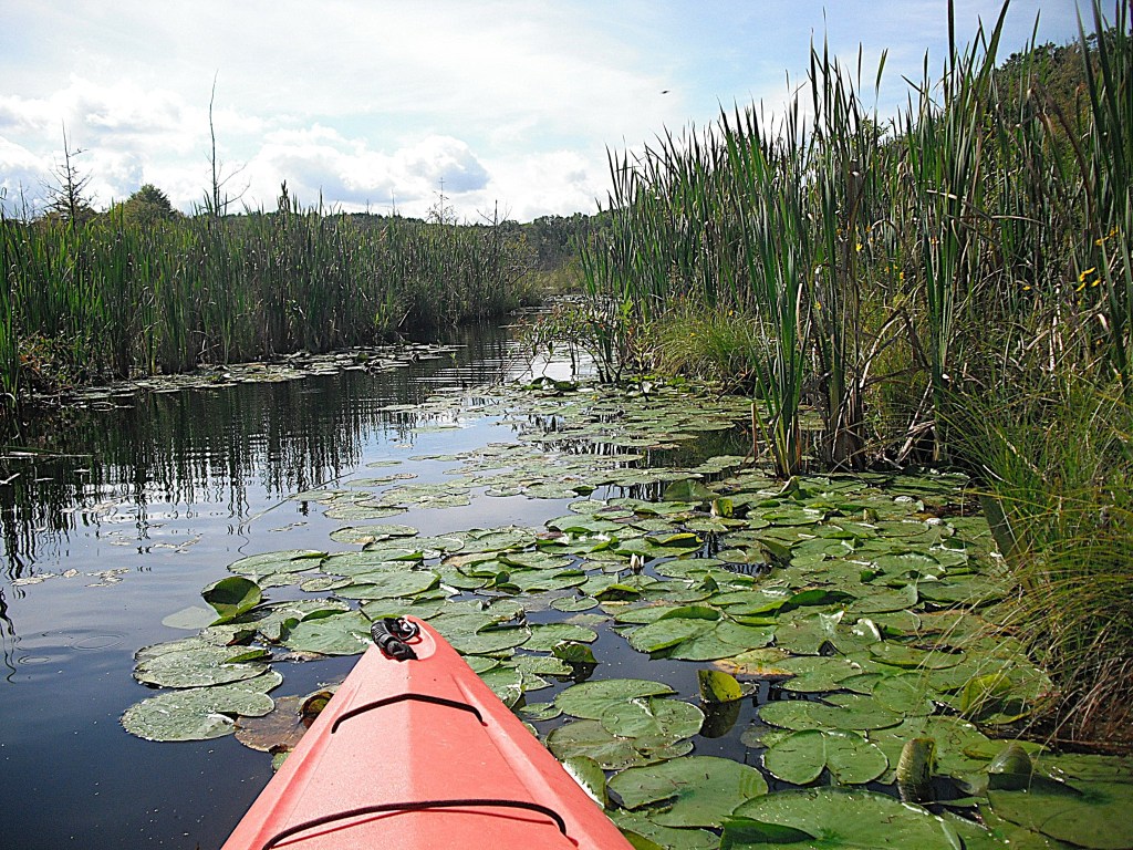
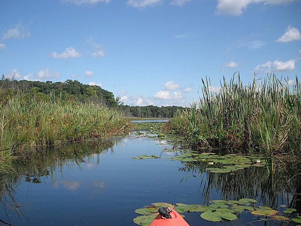
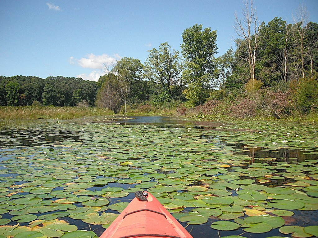
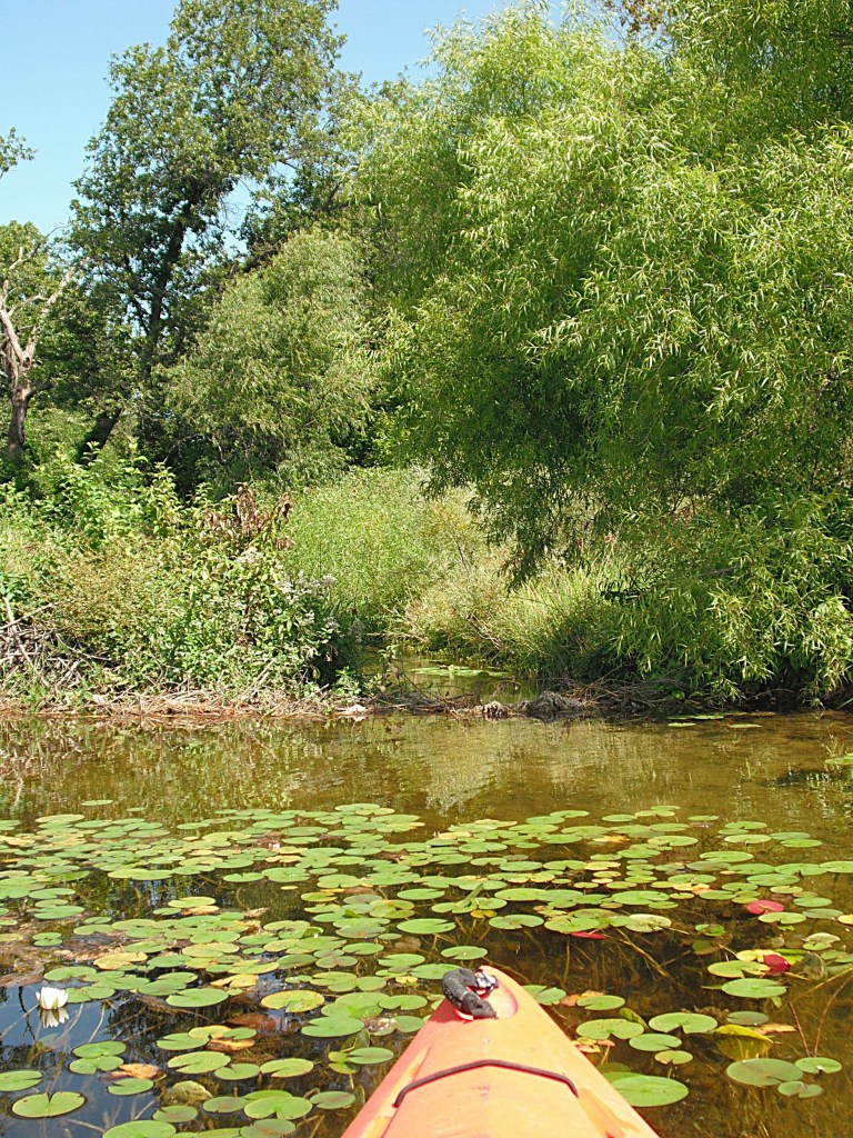
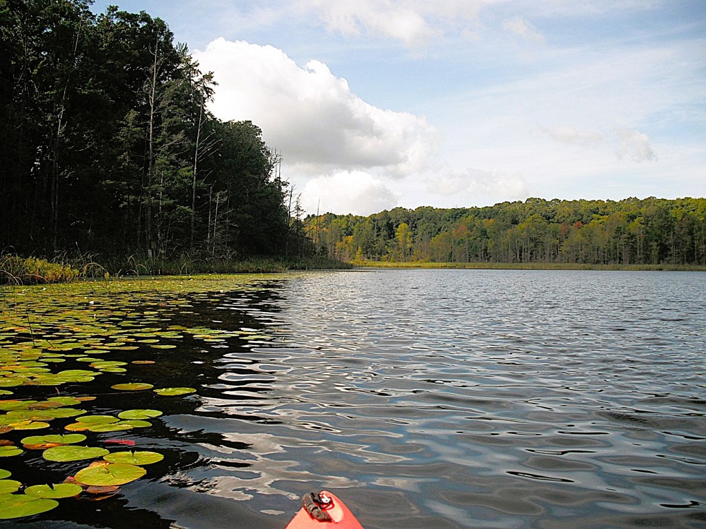
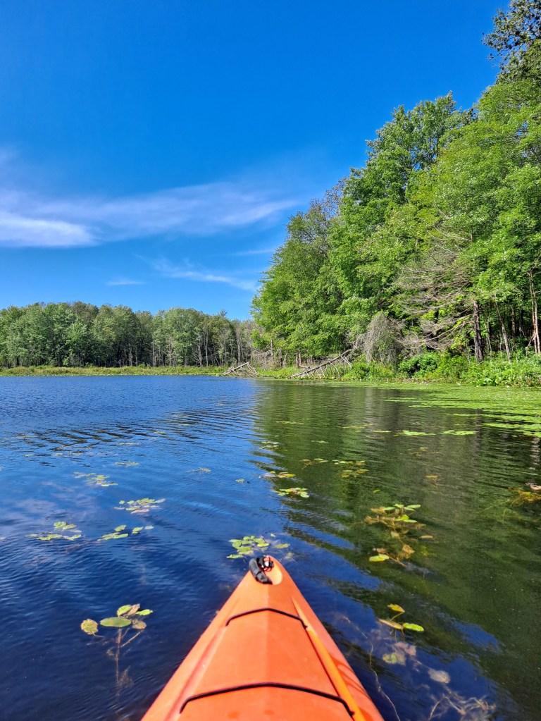
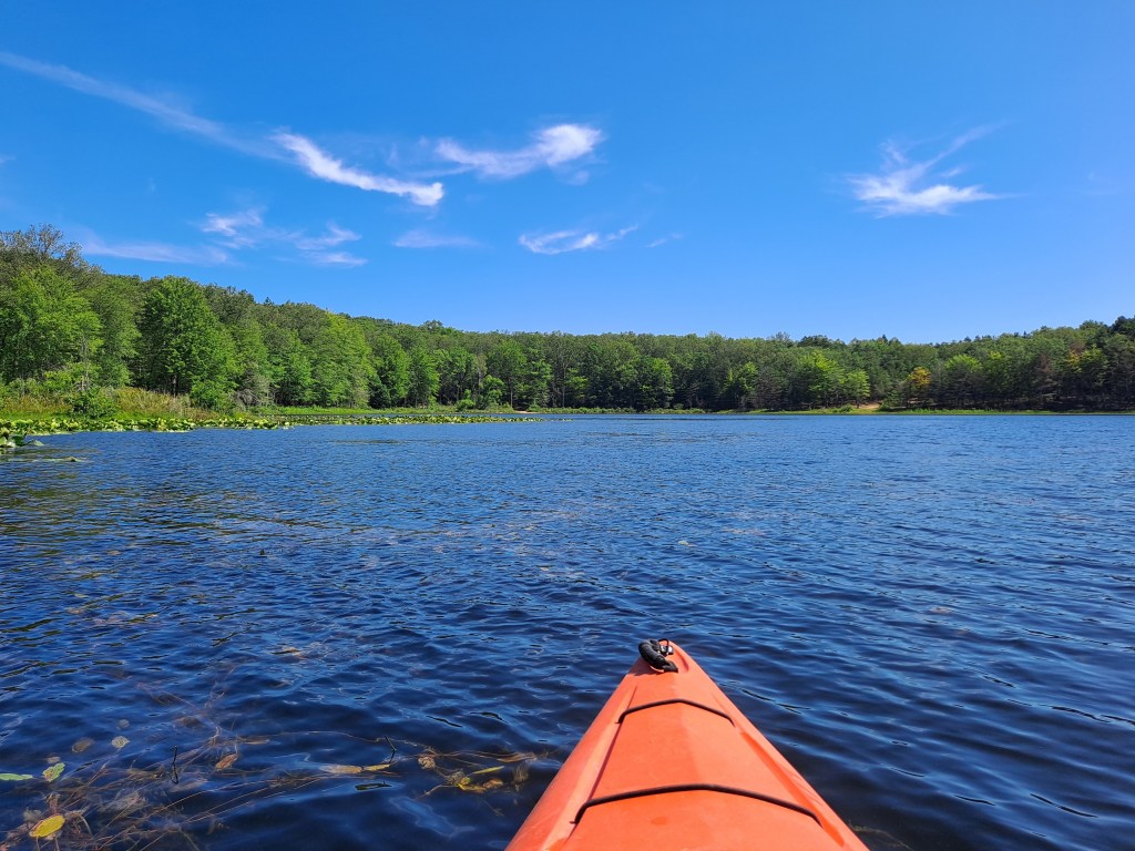
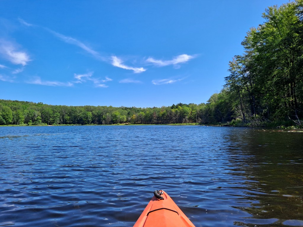
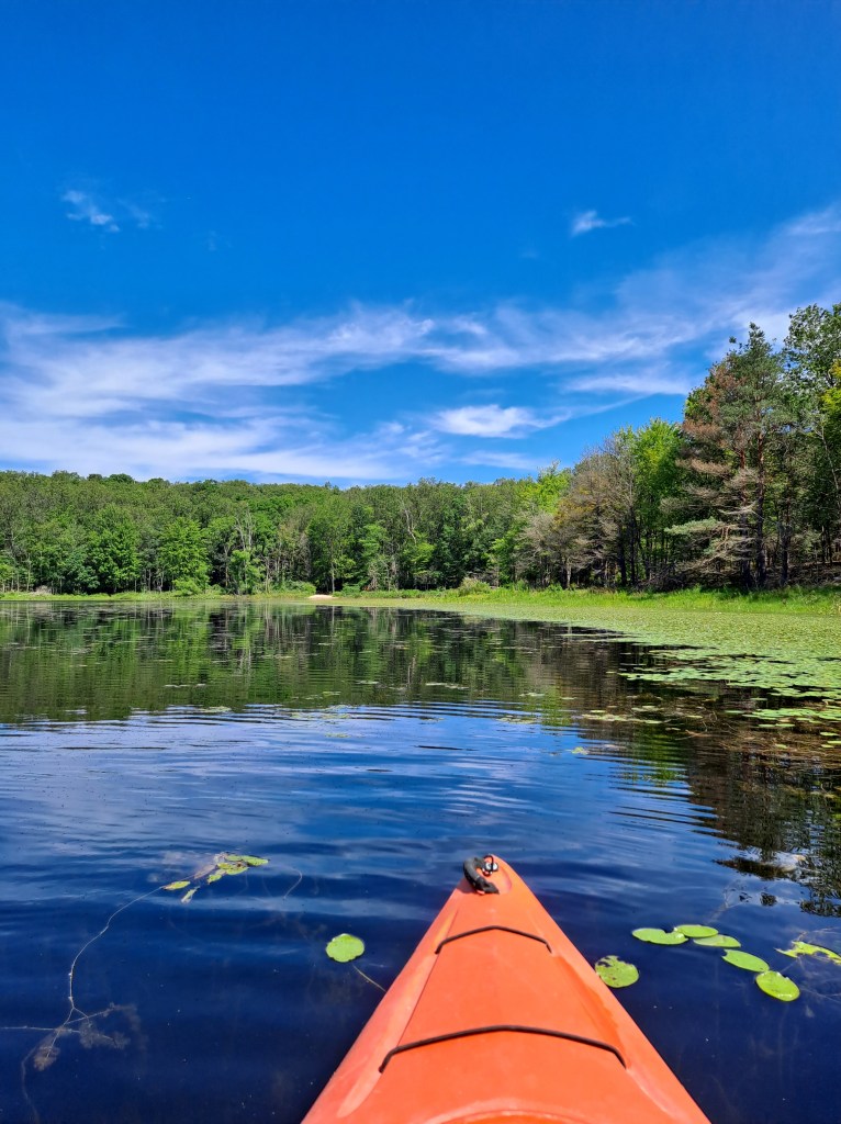
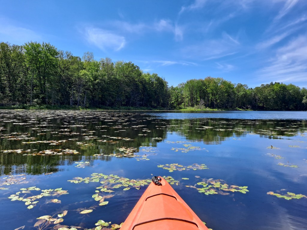
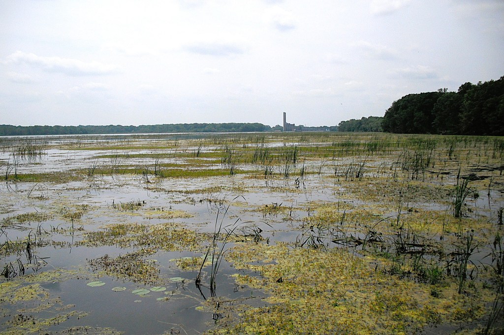
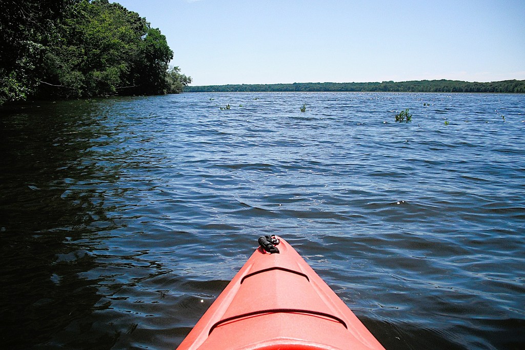
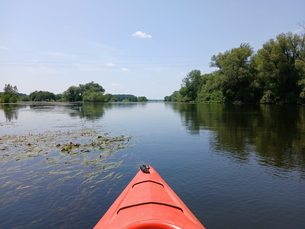
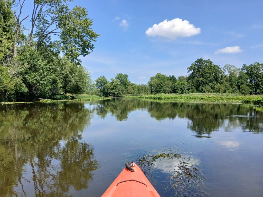
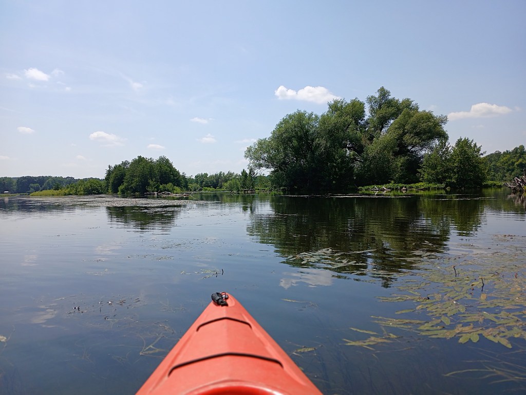
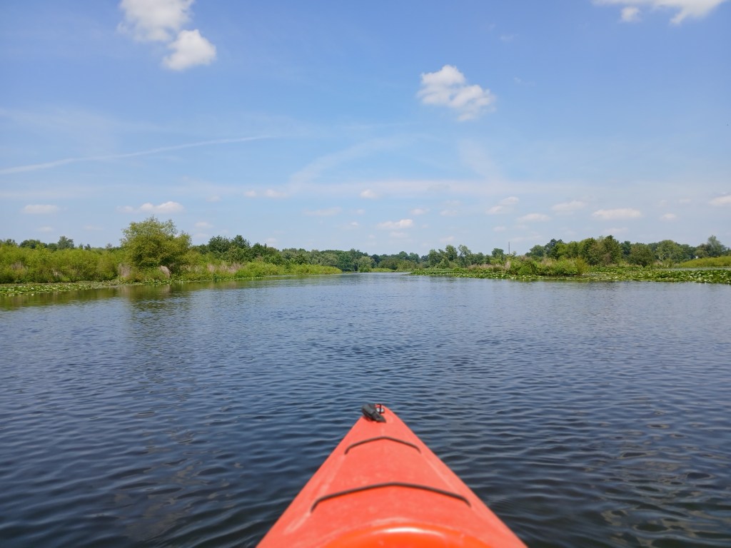
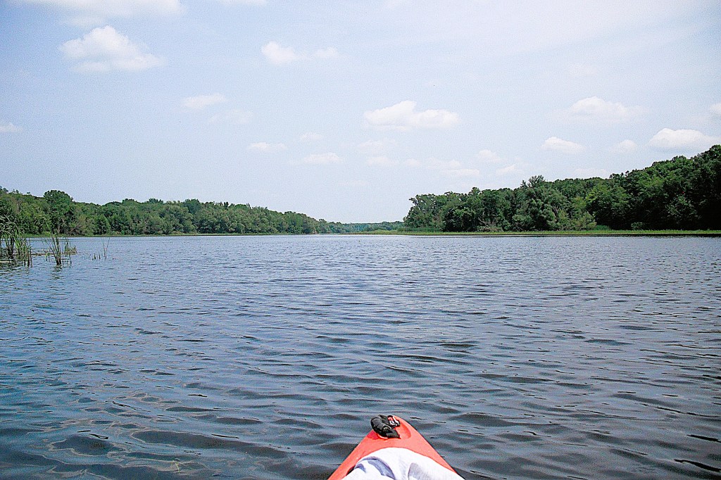
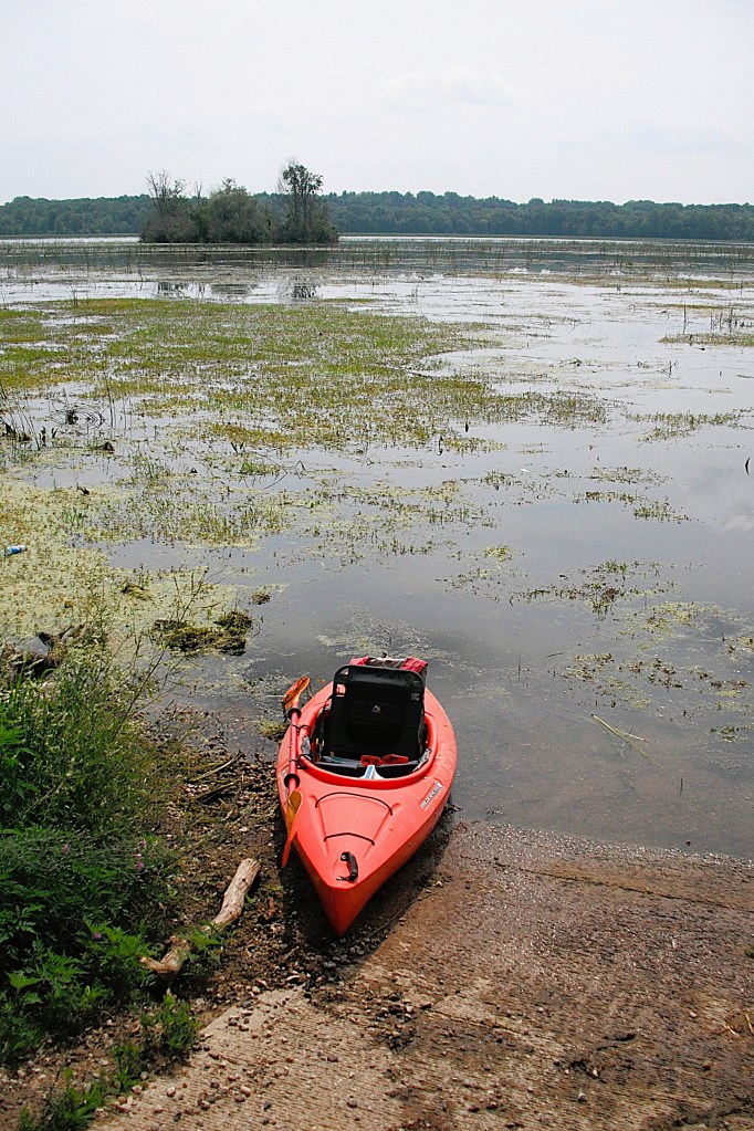
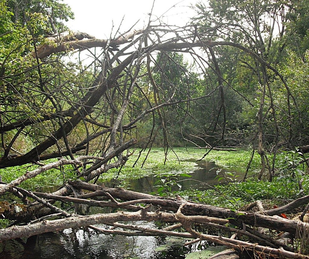
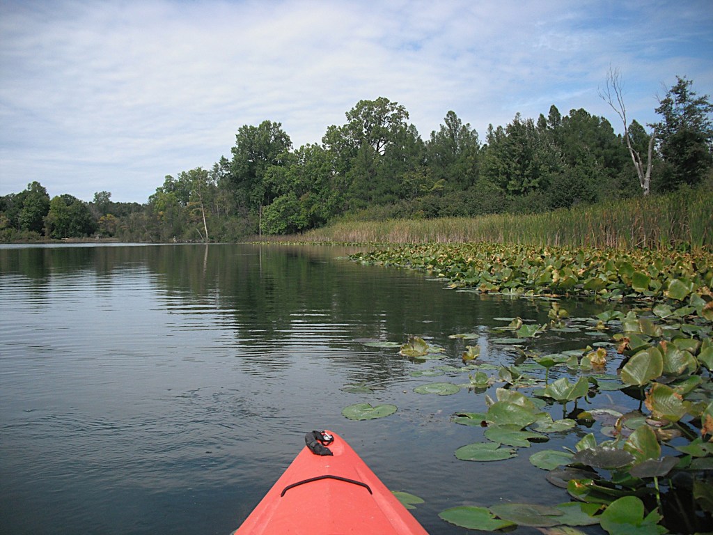
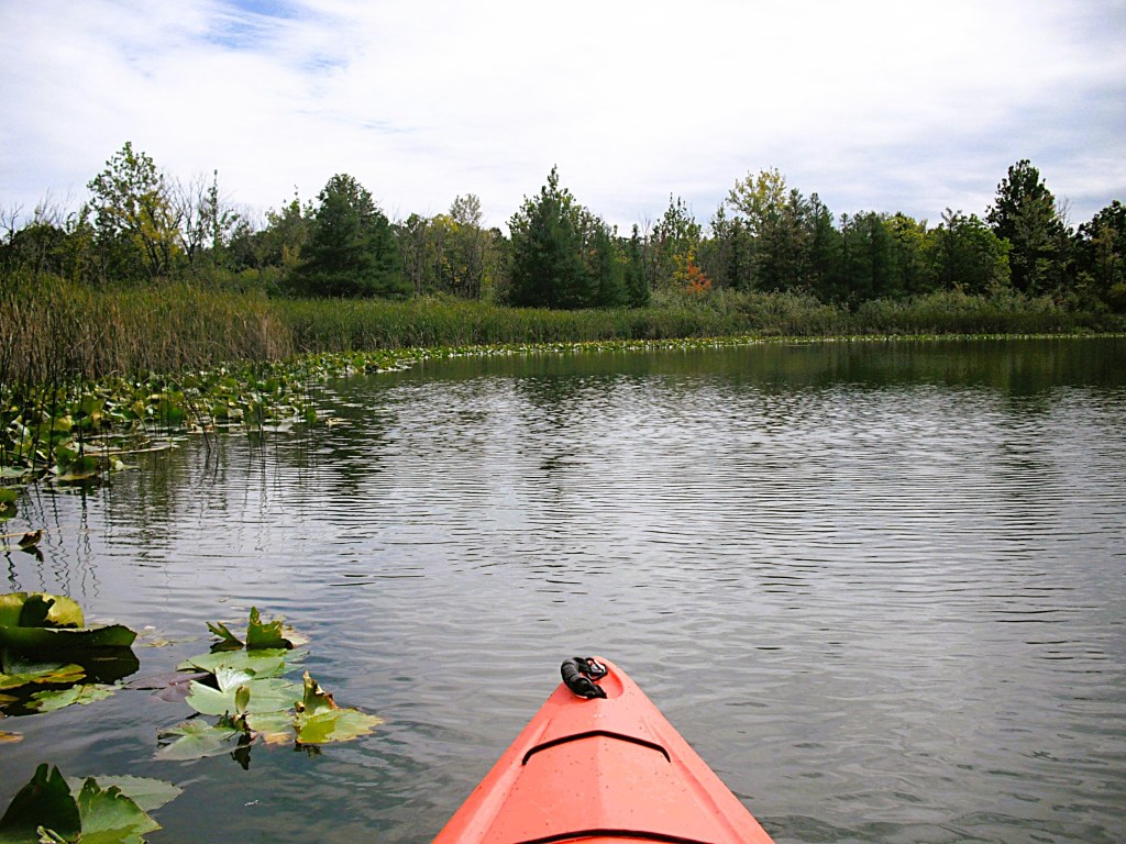
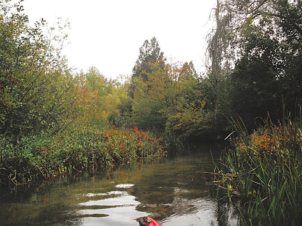
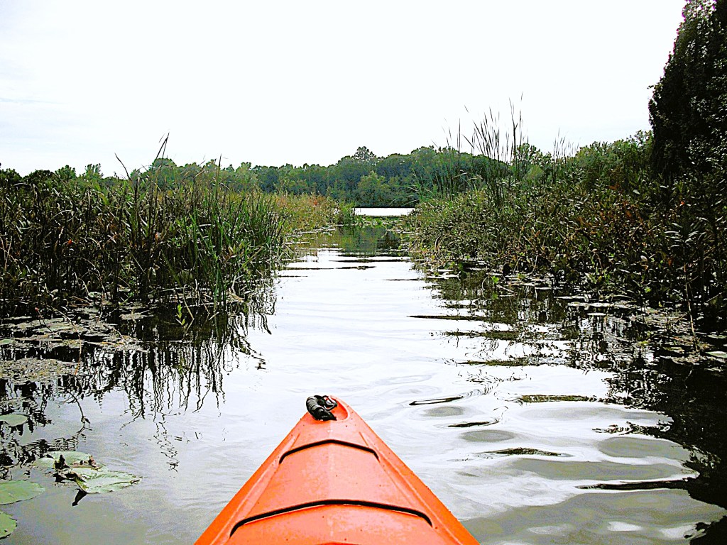
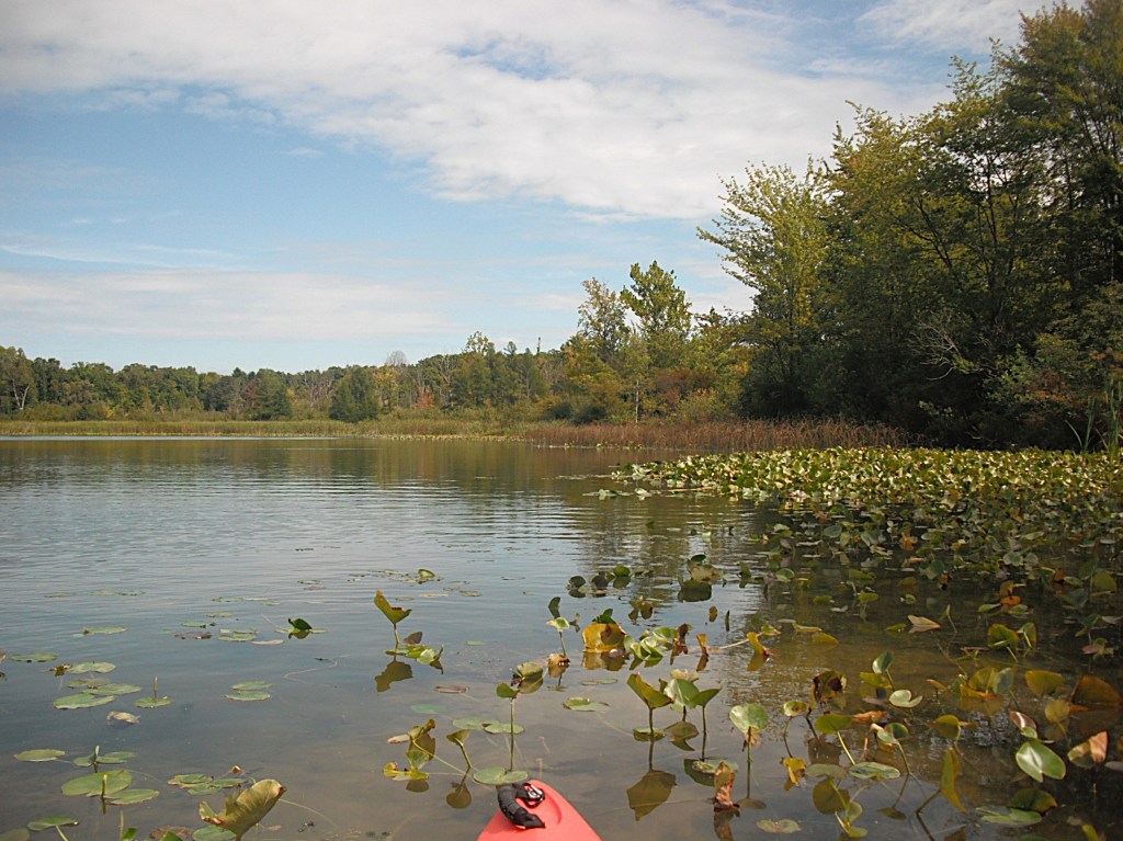
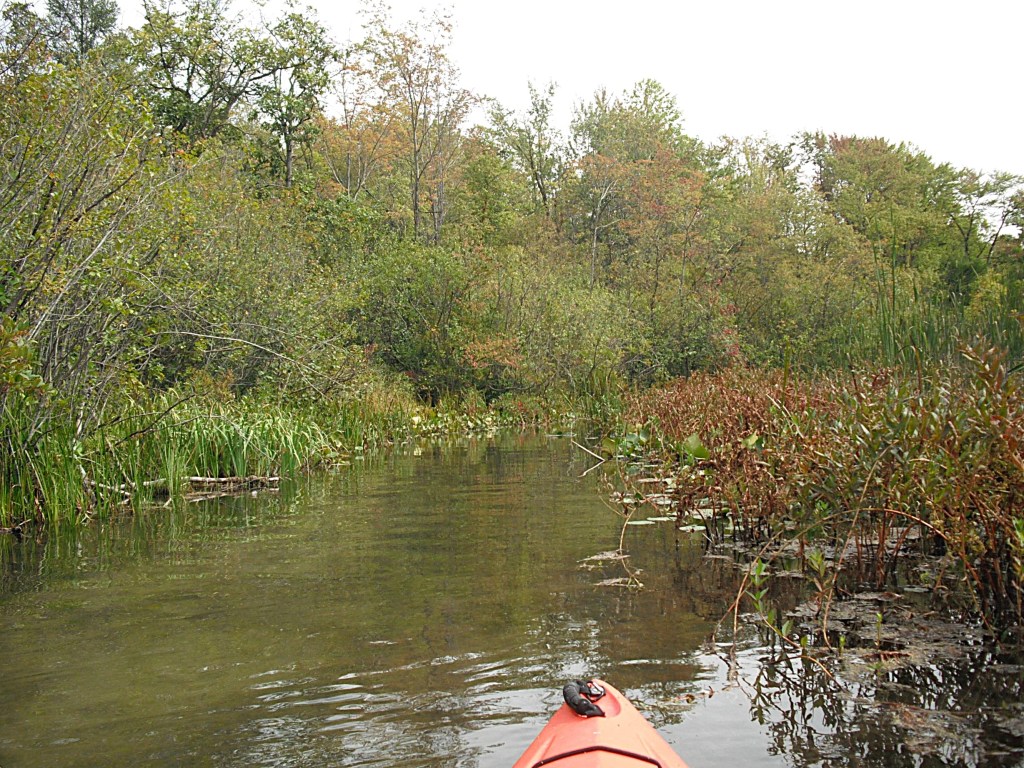
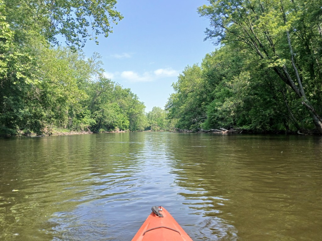
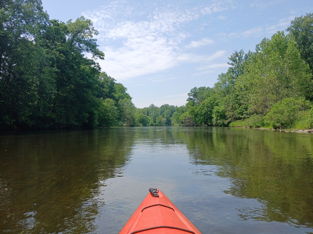
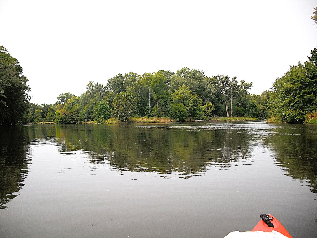
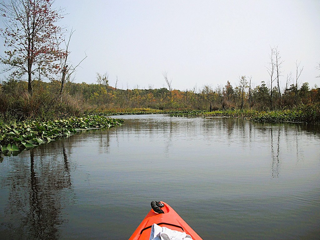
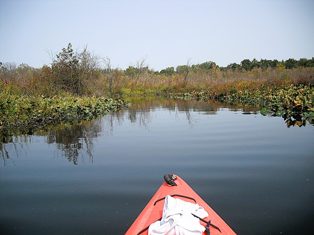
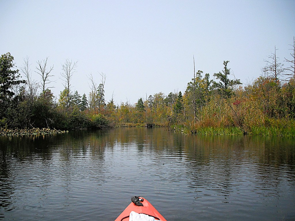
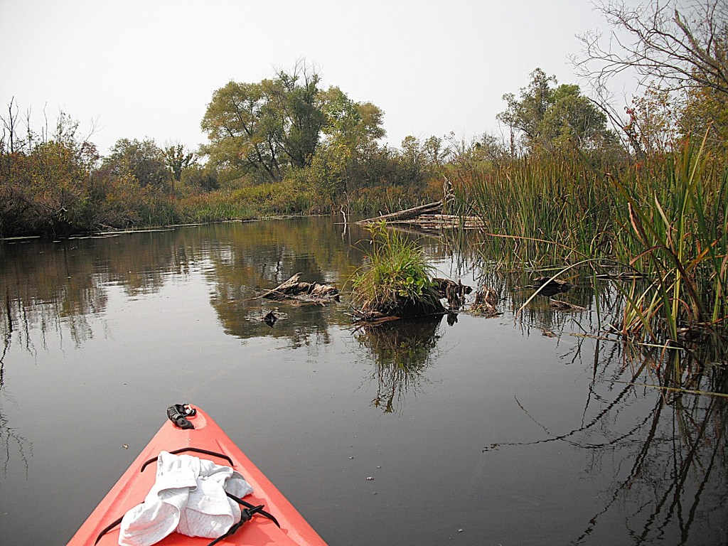
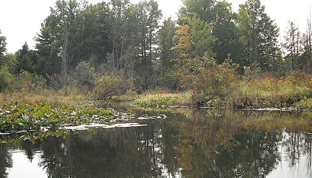
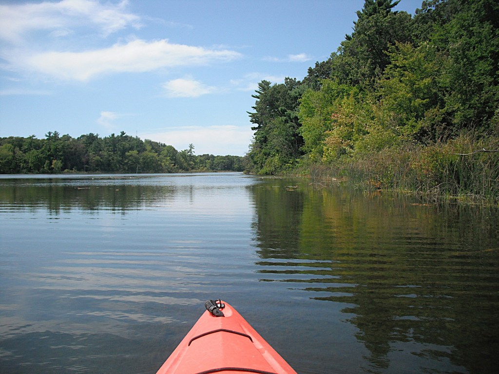
Long Lake is shallow and a large portion of the lake is less than three feet deep. You would have a hard time finding water deeper than five feet. Most lakes this shallow are choked with aquatic vegetation, but not Long Lake. The whole lake is easily paddled.

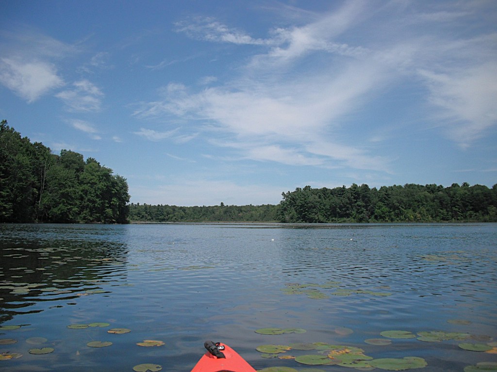
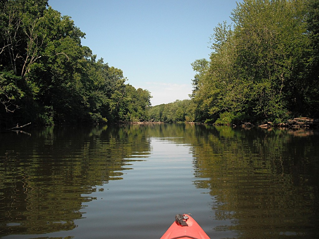
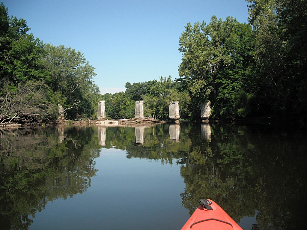
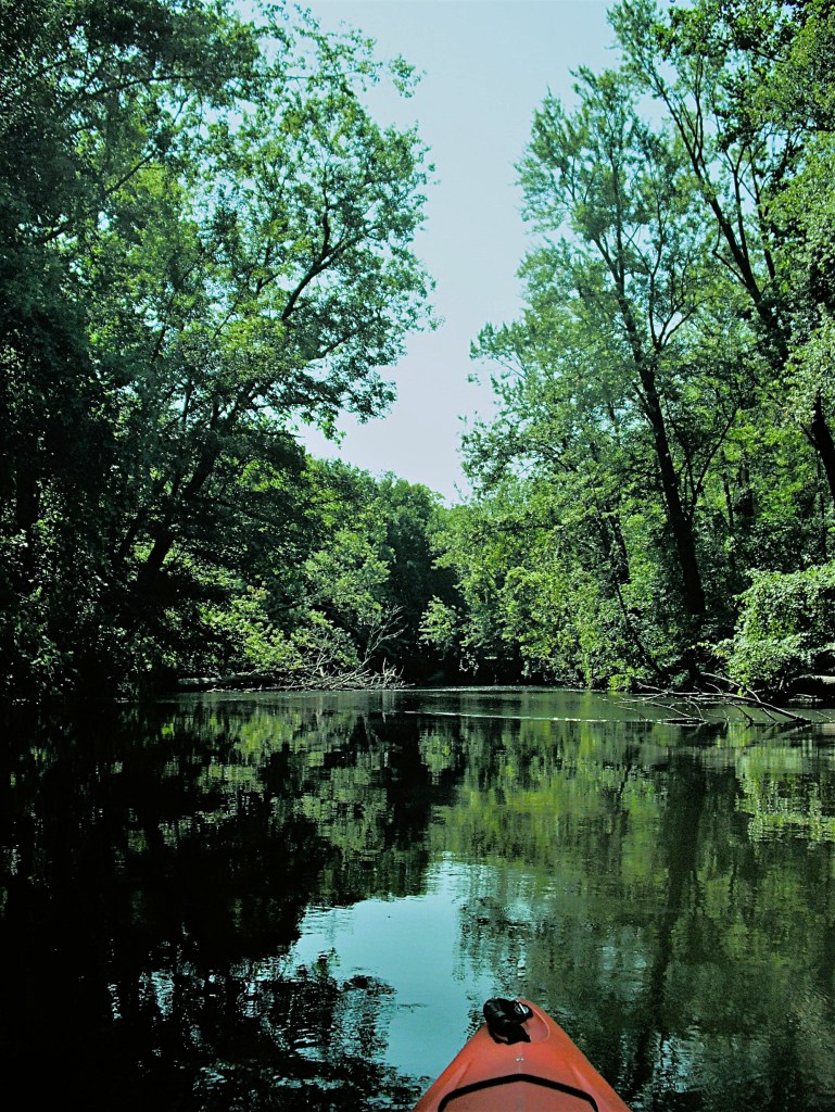
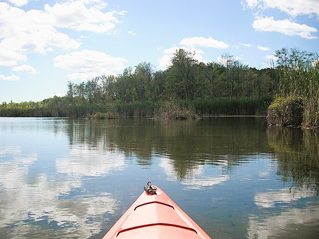
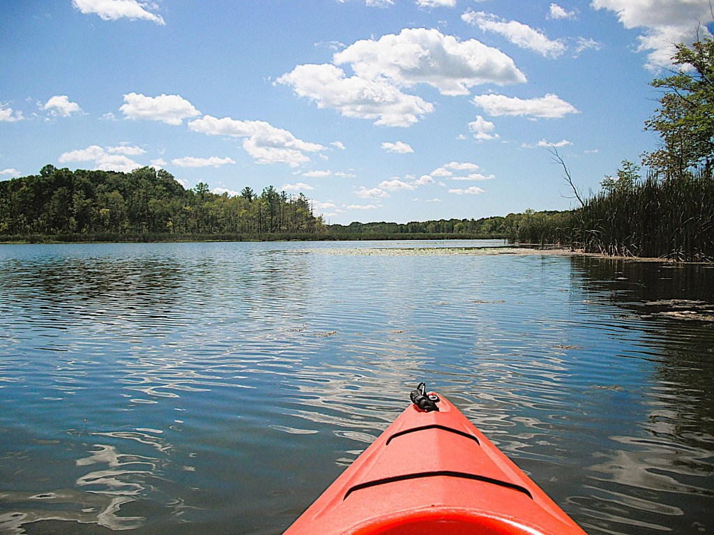
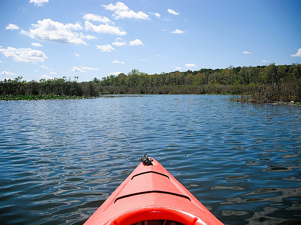
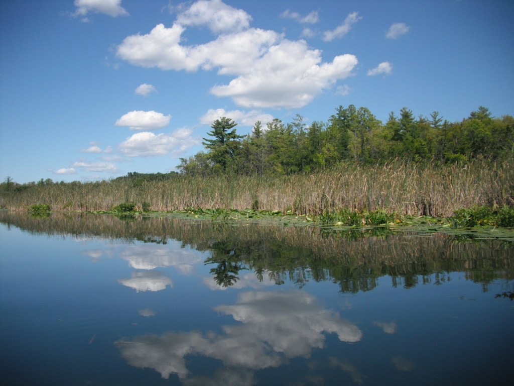
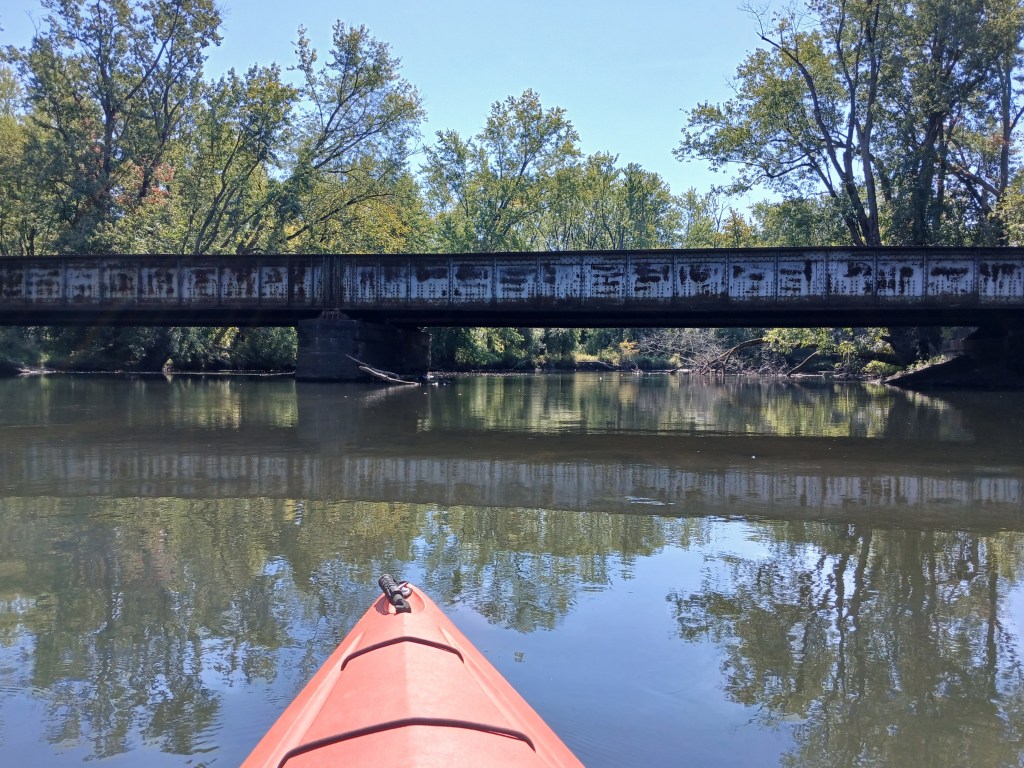
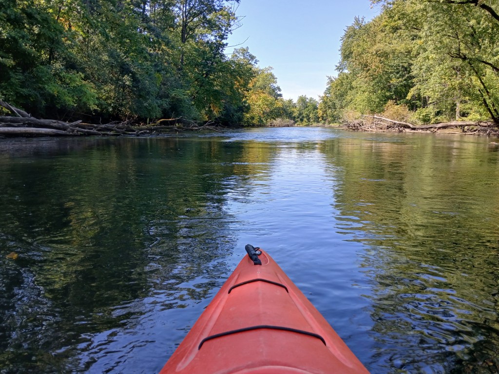
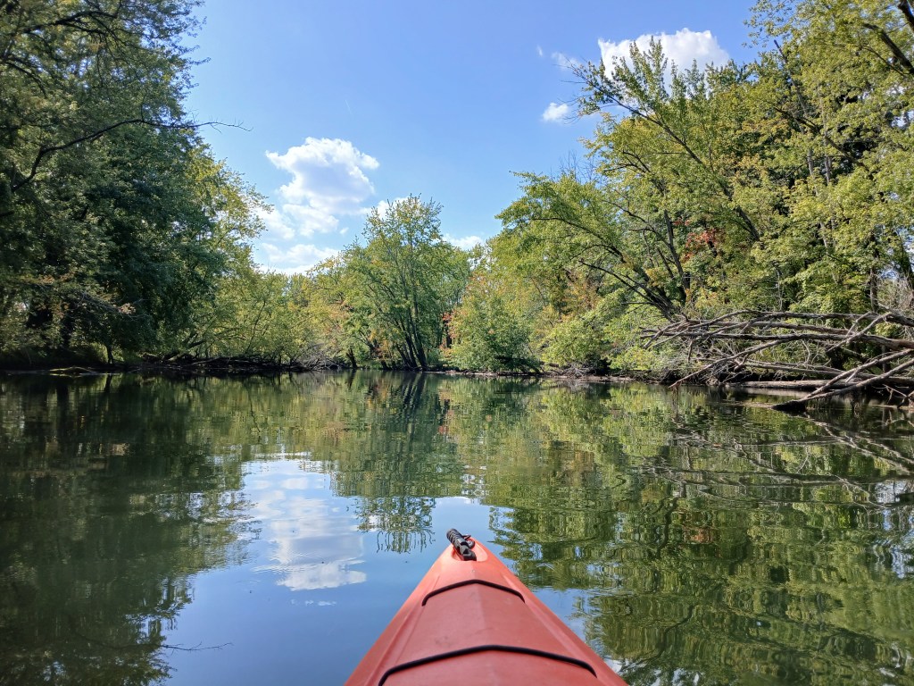
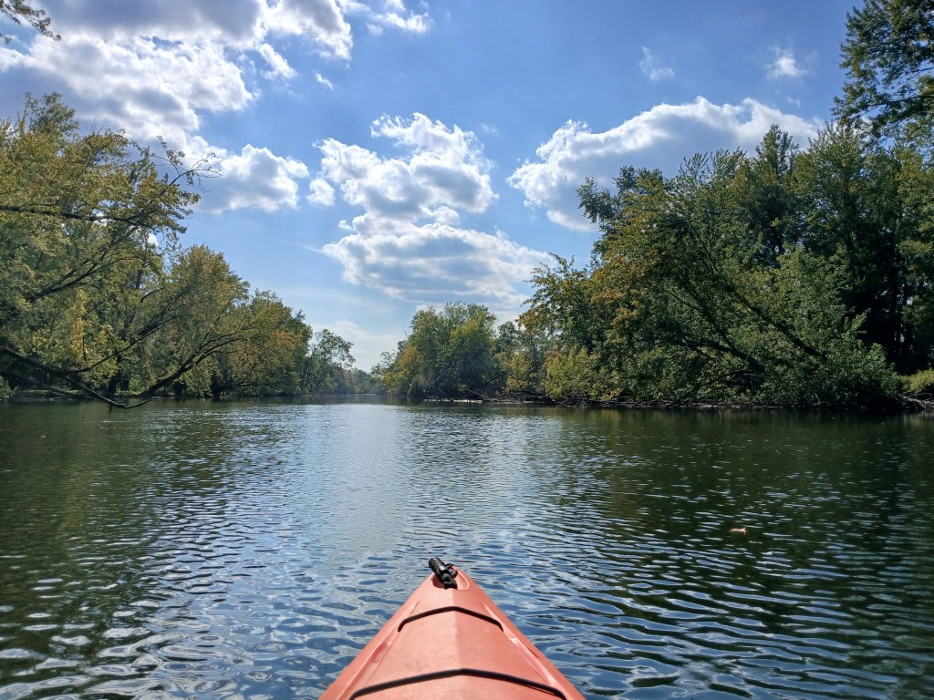
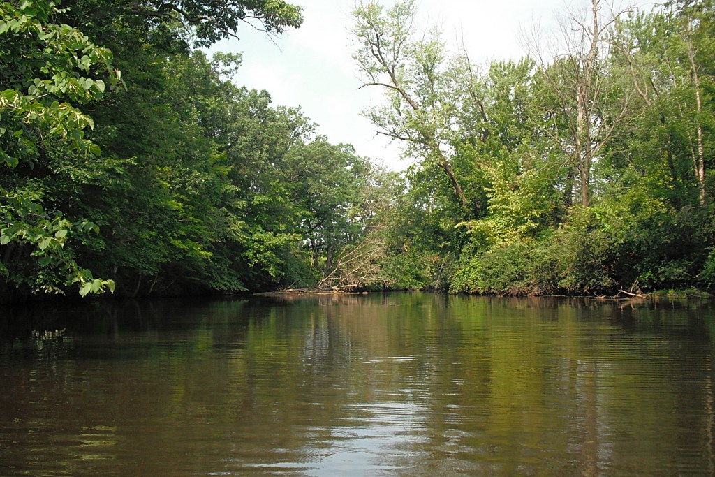
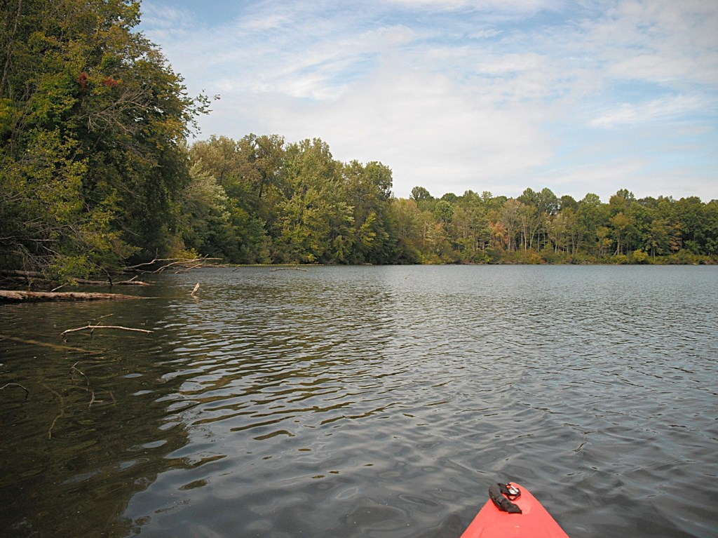
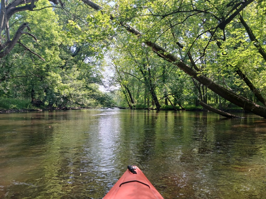
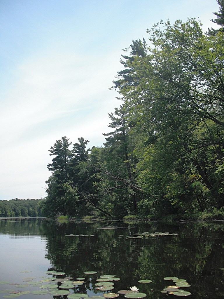
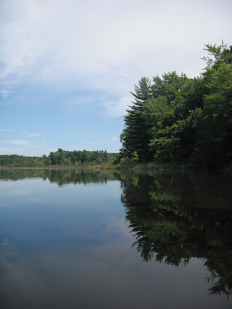
The shoreline is forested with hardwoods interspersed with pine trees. In some areas, the huge pines stick up above the hardwood canopy. A shoreline cruise of the lake will reward a kayaker with splendid scenery.

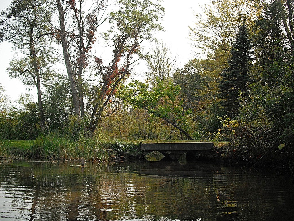
On the south end of the lake is the Long Lake Outdoor Center. The center was built in 1938-39 by the Civilian Conservation Corps and is listed on the National Register Of Historic Places.

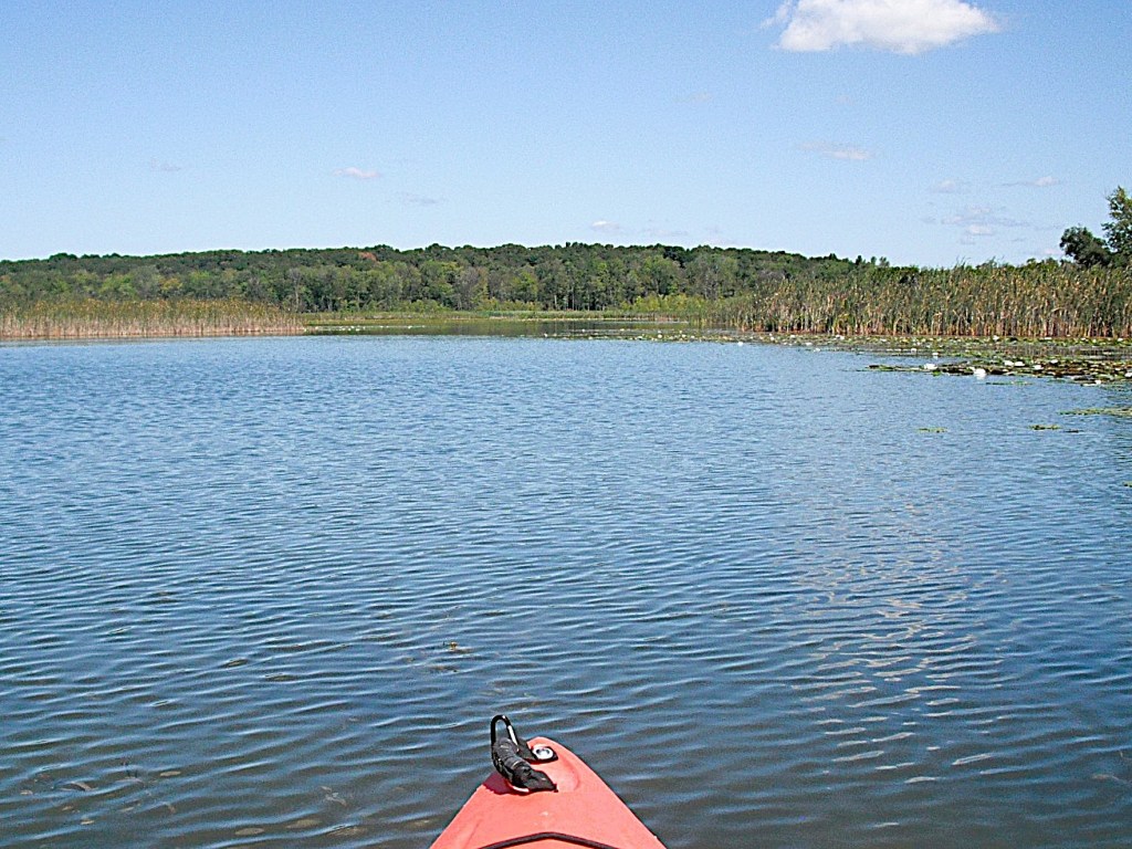
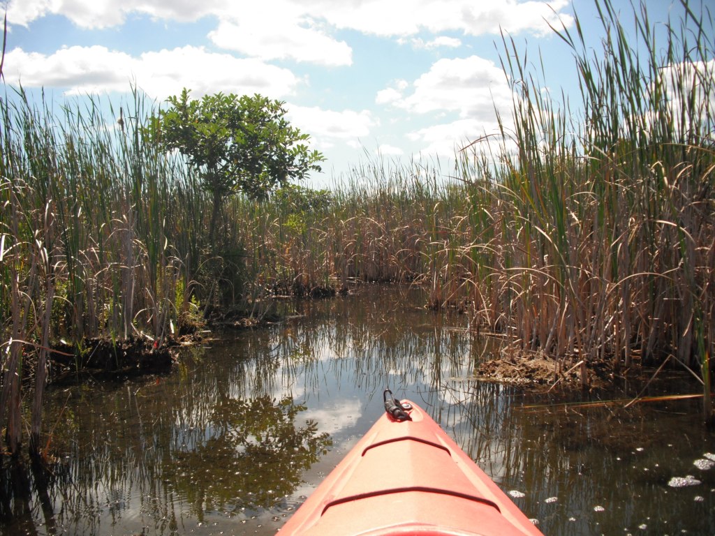
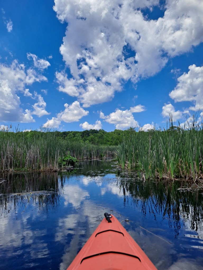
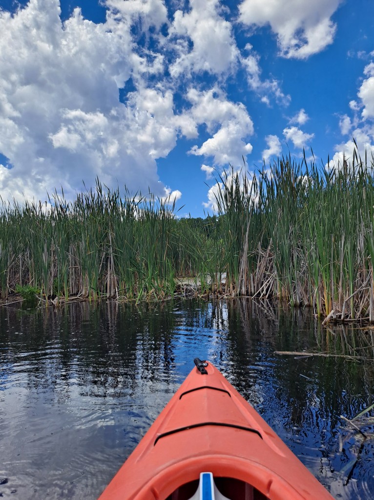
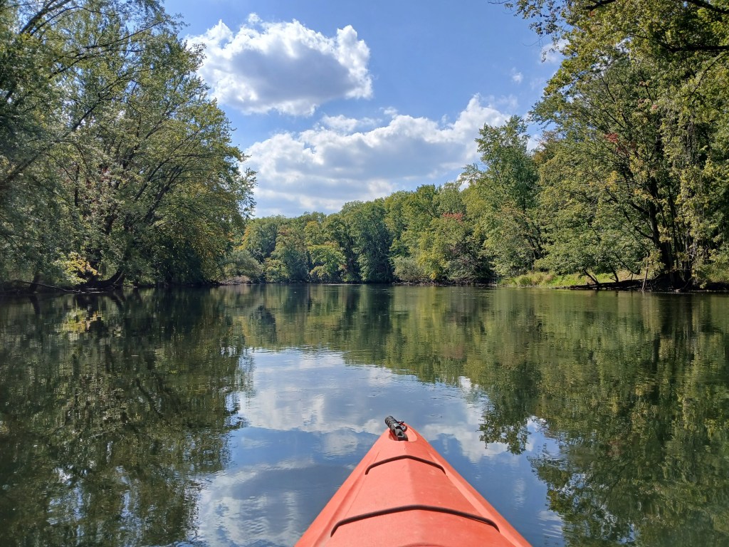
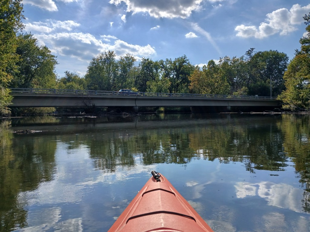
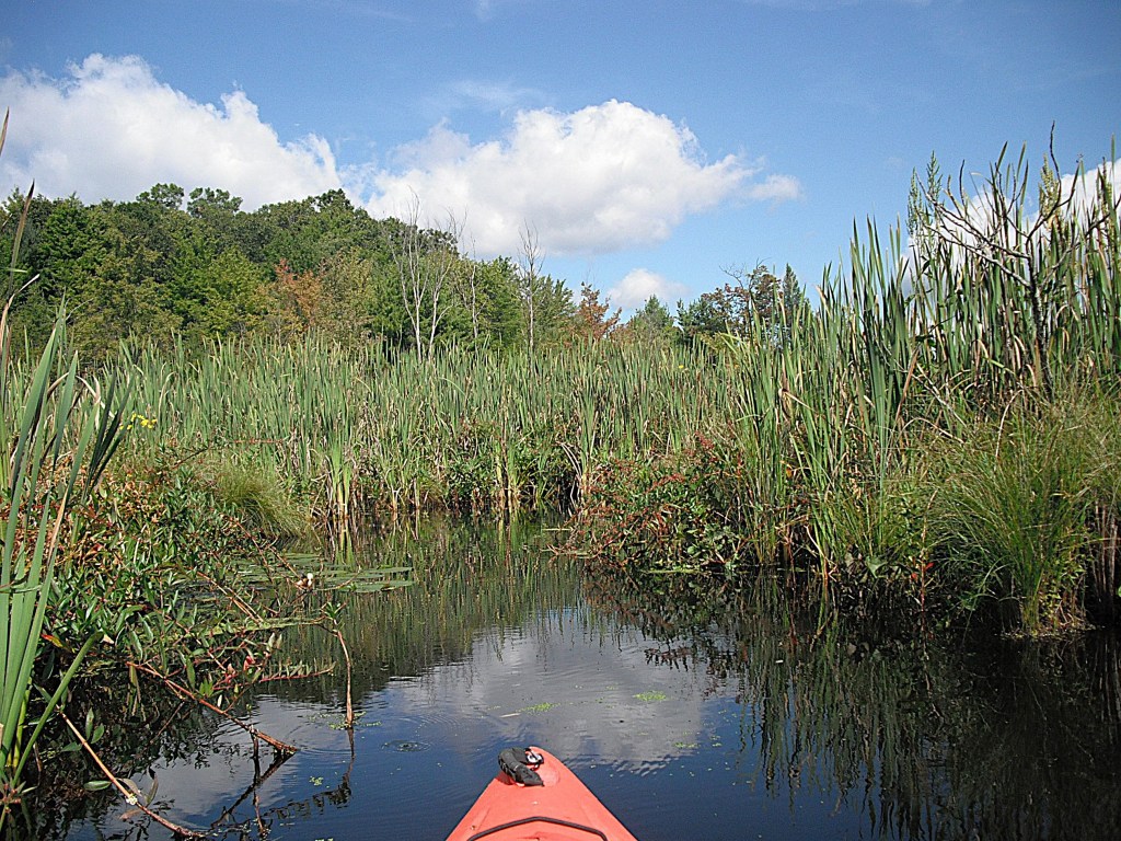
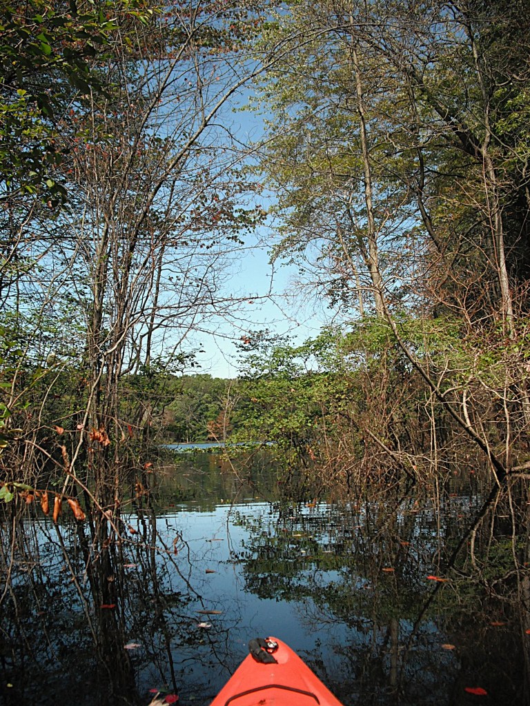
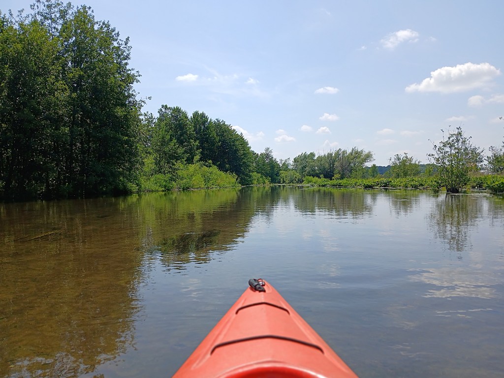
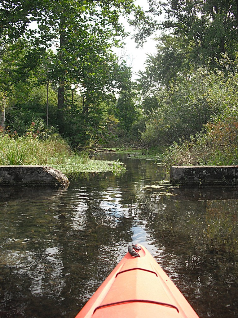
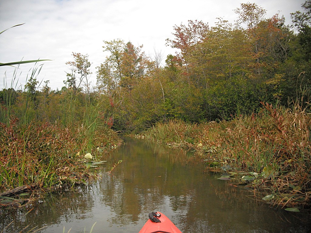
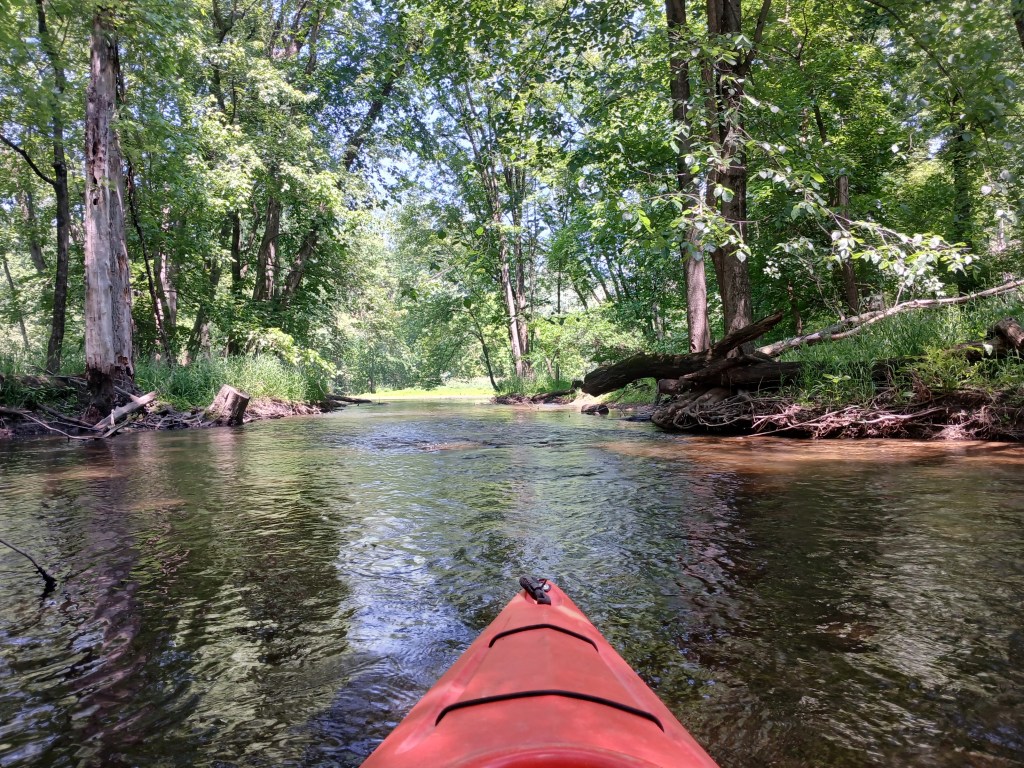
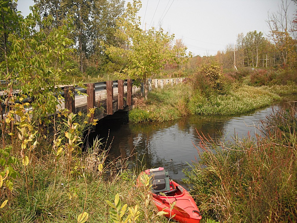
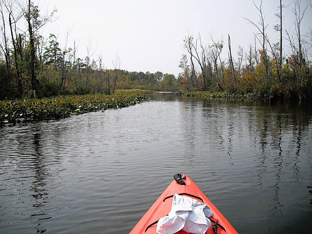
Also on the south end, there is a channel to Gun Lake. The navigable channel runs through a culvert under Gun Lake Road. It is too narrow to paddle so you must pull your way through by hand.

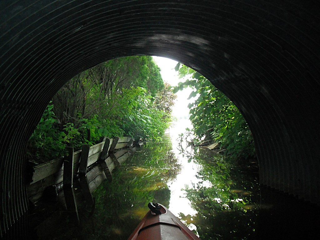
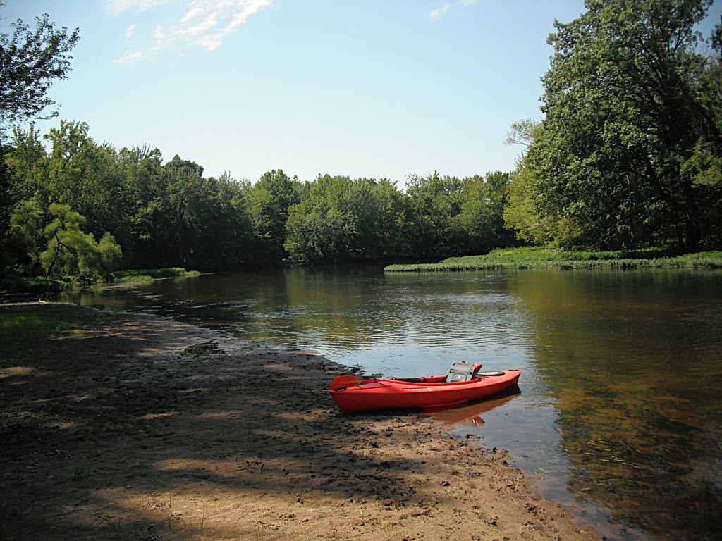
I was not thrilled with the spider webs in the culvert. The mouth of the channel is a good place to get out, take a break, and enjoy the view of east Gun Lake. Bairds Cove is to the east and straight south across the water is Duffy’s Point.

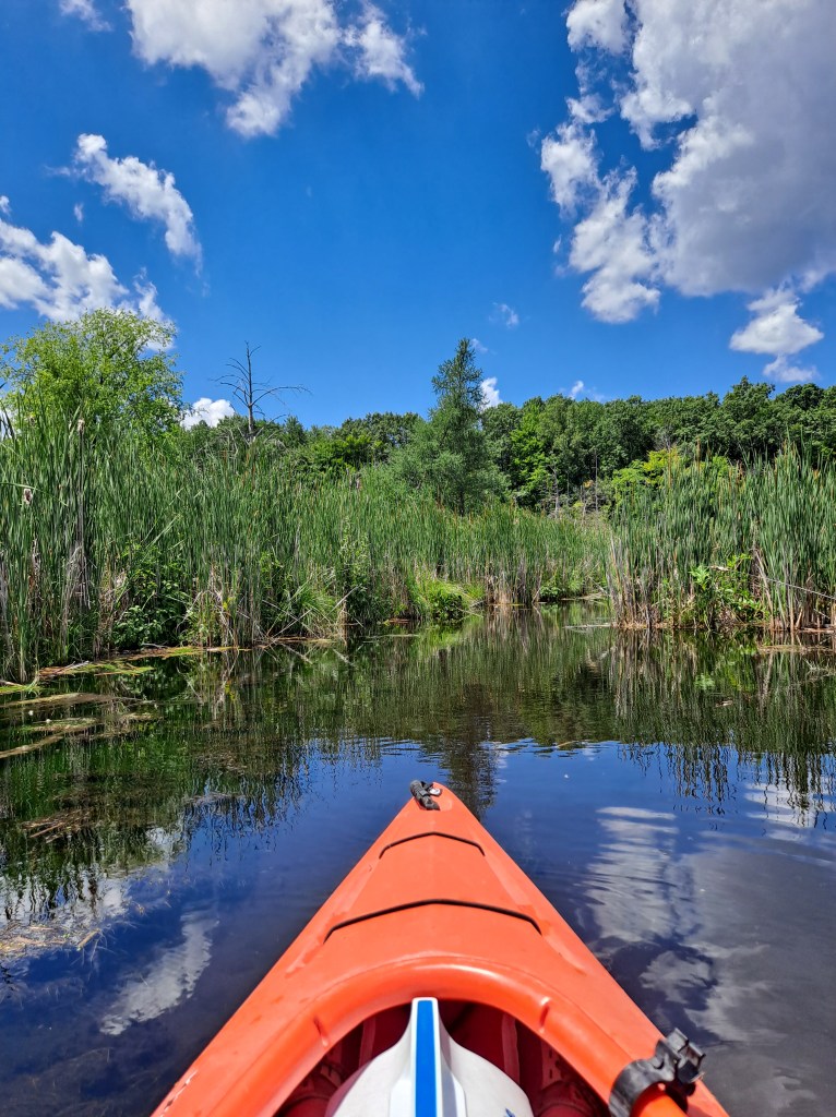
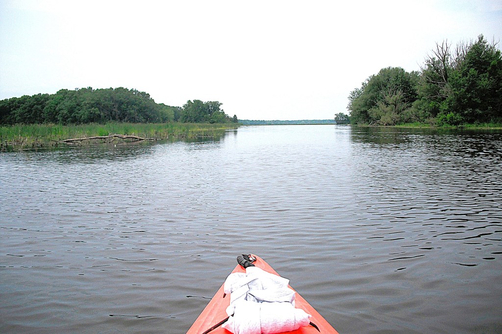
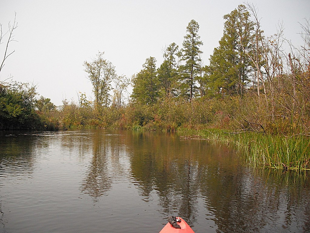
I returned to Long Lake and finished my tour of the lake.

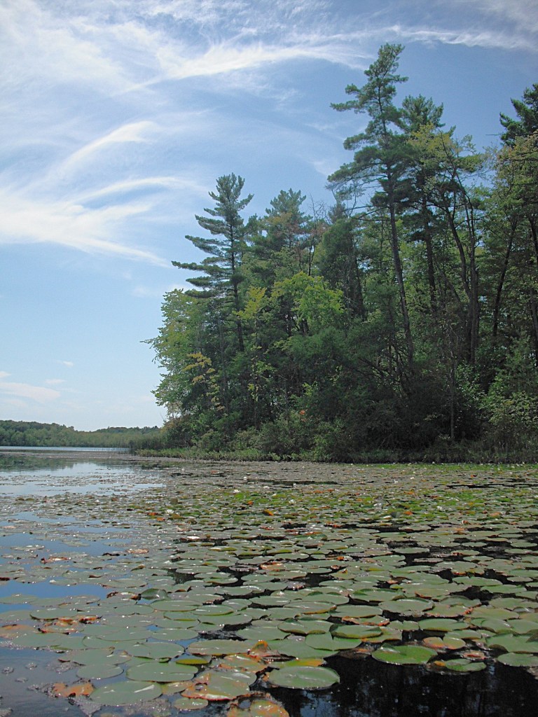
Cruising along the shoreline of Long Lake will make you appreciate the scenic beauty of Yankee Springs State Recreation Area.

ST. JOSEPH RIVER, ST. JOSEPH COUNTY, COLON TO MENDON

I have kayaked three different tributaries of the St. Joe River, but never the St. Joe itself. Curiosity finally got the best of me, so I paddled the river on a hot Saturday in August of 2020. My brother Randy helped me with car spotting. In the past, he has willingly hauled me and my kayak on numerous river voyages and I always appreciate all that he does.

The St. Joe River flows through Sturgeon Lake on the north side of the village of Colon. I decided to start my trip at the first bridge downstream from Sturgeon Lake, the Farrand Road bridge. To get to the bridge, take Farrand Road north from Colon Highway. The primitive access is on the south side of the river, right next to the bridge, on the downstream side.

The river is wide, clear, and mostly shallow. The current is slow and there are only a few obstacles to maneuver around. It is probably one of the easiest rivers to paddle in southwest Michigan. Even though the river isn’t very challenging, the scenery makes it worth the visit.

The St. Joe water level varies from week to week. It was very low when I made this trip and shallow, rocky shoals extended across the river in places. I scraped bottom more than once, so be observant.

Just after you push off from the landing, you will pass by the supports of the old Farrand Road bridge. About a mile downstream are the remains of a railroad bridge that dates to 1889.

Further downstream, the river passes under a bridge that is called either Olney Bridge or Matthews Bridge. The road over the bridge is called either Bennet Road or Jacksonburg Road.

I found a nice sandbar and stopped for lunch and a cool swim.

The St. Joe flows in a westerly direction on this trip and I enjoyed the scenery of the wooded river corridor.

After crossing under the M66 highway bridge, M60 highway parallels the river’s north shore. There is some traffic noise but it’s not unbearable.

The Nottawa Road bridge marks the river’s entry into the village of Mendon. After the bridge, Reed Riverside Park and the Mendon business district are on the north side of the river. The village is pleasant to paddle through.

A brief history note: This area was first explored by a La Salle expedition in 1679.

Downstream from Mendon, the historic Marantette Bridge spans the river. It was built around 1900 and serves pedestrian traffic.

Immediately downstream is a abandoned railroad bridge that was constructed in 1873.

Sandwiched between the two bridges, on the north side of the river, is the MDNR boat landing where I ended my trip. From the landing, Railroad Street heads north and intersects with highway M60.

I was impressed with the scenery and history of this stretch of the St. Joseph River and I will gladly visit it again.

BIG and LITTLE SUGARLOAF LAKES, KALAMAZOO COUNTY

These two lakes are on the southern boundary of the city of Portage. They are situated in the middle of a “V” created by Shaver road and highway US131. Part of the Gourdneck State Game Area, a 1249 acre parcel, borders the north end of both lakes. The MDNR Big Sugarloaf Lake access site is on Shaver Road.

There are about a dozen homes on the west shore of Big Sugarloaf. Shaver Road is on the southeast shore, so I paddled north along the undeveloped east coast.

The north end is where Big Sugarloaf gets interesting. There is a large pond separated from the main body of the lake by a wide row of thick cattails. Marshland extends inland from the pond. There are two entrances to the pond.

Lily pads cover parts of the pond but most of it is open water.

There were many small channels leading into the marsh.

I tried some of them but they went nowhere or they were too narrow for my boat. I still enjoyed poking around the edge of the marsh.

I left the pond and headed west to a large cove on the northwest corner of Big Sugarloaf.

The entrance to the Little Sugerloaf channel is in this cove.

The scenic, still waters of the wide channel meander through marshland.

The channel eventually enters Little Sugarloaf Lake. I don’t spend a lot of time here. One side of the lake is lined with homes and the other side parallels the noisy highway, US131. The north end, bordering the game area, is pleasant to paddle.

I headed back to the channel.

A small unnamed creek flows into the channel from the west. I had to explore it.

I portaged a beaver dam and continued upstream.

I was stopped by a second beaver dam.

I decided not to portage and returned to the channel. I reached Big Sugarloaf and cruised part of the west shore before heading across the lake to the landing.

It’s surprising to find two scenic lakes that are so close to a large urban area.

KALAMAZOO RIVER, KALAMAZOO COUNTY, AUGUSTA TO GALESBURG

My friend Dan and I decided to revisit this stretch of the Kalamazoo River in early September of 2025. We saw a few boaters on the river, but most of the time we had the river to ourselves.

This stretch of the river is mostly wide and shallow with slow current. There are a few places with moderate current. This section of the Kalamazoo River flows in a southwesterly direction. The shoreline is wooded. There are only a few homes on the river and those are in the Galesburg area and the Augusta area. The waterway is suitable for paddlers of all skill levels. There are plenty of spots to stop for a break (dependent on water level), but the spots get fewer in number as you get closer to Galesburg.

Kayakers can choose between two landings for river access. Both are within the Fort Custer State Recreation Area. The entrance to the recreation area is on the south side of Highway M96, east of the village of Augusta. Follow the park signs to the river access.

We chose a river access that lies on a small sliver of park land on the north side of M96, between the Kalamazoo River bridge and the railroad tracks, east of Augusta.

A view downstream from the landing:

Just around the bend from the boat landing, the M96 bridge and a railroad bridge span the river.

Downstream from the railroad bridge, Augusta Creek (trout stream farther north) flows into the Kalamazoo River on the right. The creek is not navigable.

The river serves as the western boundary for the Fort Custer State Recreation Area.

Continuing downstream, the other river access is on the left. The landing features a concrete boat ramp and a vault toilet.

Scenic woodlands border the river all the way to Galesburg.

Dan decided to wet a line and landed a tackle-busting smallmouth bass.

We tried to paddle up Gull Creek from the river but we didn’t get very far because of fallen trees.

The Michigan Avenue Bridge spans the river at the east end of Galesburg.

Downstream from the bridge, the Time Out Lounge is on the north riverbank. The lounge caters to kayakers, so Dan and I beached our kayaks and had a beer on the deck overlooking the river

Heading back down the river, the Kalamazoo enters a long straight stretch followed by a gentle curve. Look for two decks and a boat ramp on the north side of the river. This is the Galesburg Community Park, where your trip ends. The park is located behind the Galesburg City Hall, on Michigan Avenue. There are two entrances, one on each side of the building. A gravel road leads from the paved rear parking lot to the waterfront and the landing.

DEEP LAKE and TURNER CREEK, BARRY COUNTY

YANKEE SPRINGS

The entrance to the Deep Lake Unit of Yankee Springs State Recreation Area is on the west side of Yankee Springs Road, north of Gun Lake Road. The park hosts a campground on the east side of the lake. The Deep Lake Unit has a staging area for the network of mountain bike trails. Follow the park signs to the Deep Lake Access.

The site has a couple of picnic tables, making it a scenic, shady spot for my lunch. I have been known to take a dip in the lake here also.

The lake has a steep drop-off along most of its shoreline. The east shore is hilly and wooded.

The rest of the lake shore is flat and marshy.

Turner Creek flows into Deep Lake at the south end.

I paddled up the narrow, meandering stream for quite a long way.

Turner Creek is scenic and is definitely worth a look.

Eventually, the creek got too narrow and too shallow, so I paddled back to the lake.

The northwest end of Deep Lake has a very large marsh.

A bayou is on the north side of the marsh.

Turner Creek exits the lake at a beaver dam on the north end.

The park maintains a large pier on the northeast end of the lake. There is a footpath from the boat launch to the pier.

The scenic views from Deep Lake keep me coming back, year after year.

DAGGET LAKE, BARRY COUNTY

YANKEE SPRINGS

You can reach Dagget Lake from the west by heading east on Sager Road from McKibben Road.

You can access the lake from the east by taking Sager Road west from Otis Lake Road. At times, Sager Road can be in bad shape. I recommend four wheel drive. Don’t get stuck in the middle of nowhere. The primitive access is on the south side of Sager Road, on the north end of the lake.

Barry State Game Area surrounds the lake. The hilly terrain around the lake is heavily wooded.

On the southeast corner, I paddled into a small flooded area of the forest. When water levels drop, this area is high and dry.

Dagget Lake may be small in size, but it is big on scenery.

KALAMAZOO RIVER and MORROW LAKE, KALAMAZOO COUNTY, CITY of GALESBURG and COMSTOCK TOWNSHIP

In November of 2019, Morrow Lake was drained for dam repair. The draw down was improperly done and tons of sediment were washed down the river, creating a environmental nightmare. The exposed lake bed was soon covered with vegetation.

When the lake was filled in the spring of 2021, much of it was covered with aquatic vegetation.

By 2025, most of the lake has recovered from the draw down.

Let’s get to the start of the trip! Galesburg Community Park is located behind Galesburg City Hall on Michigan Avenue. The Kalamazoo River boat landing is at the south end of the park, at the end of a gravel road.

The river winds its way toward Morrow Lake at a moderate pace. The river corridor is wooded and there are only a few homes on the river bank.

There are two islands on this stretch of the Kalamazoo. The first one is so small that if you blink, you’ll miss it.

The second one is quite large and the river channels are navigable on both sides of the island.

Past the islands, the river travels under the 35th Street bridge. Downstream from the bridge, the river enters the delta region of Morrow Lake. The main river channel runs west through the north side of the delta to the main basin of the lake.

The many islands of the delta area are south of the main channel. The delta is a little over a mile long and is about a quarter mile wide. When exploring the channels around the islands, be mindful of shallow water. I ran aground several times.

There are three small islands that mark the end of the delta and the beginning of the main basin. One island is next to the north shore at the River Oaks County Park boat ramp. The other two islands are next to each other and next to the south shore. The channel between the north island and the two south islands is about two hundred yards wide. The channels around the two south islands are overgrown with vegetation.

This view is looking east from the main basin toward the channel.

The trip ends at either of two boat landings. The River Oaks County Park lake access is on the north shore at the east end of the main basin. The boat ramp is hidden from view by a small island. This is the north island that was mentioned earlier.

The MDNR lake access is farther west, on the north shore. The boat ramp is straight north from Rowe Island, the only island on the main basin. The photo was taken before the lake had recovered from draw down.

If you’re interested in a trip without vehicle spotting, launch your kayak at River Oaks, head east and explore the delta, and return to River Oaks. I have used this option a few times myself.

The entrance to River Oaks is on the south side of Highway M96, just west of Galesburg. Follow the park signs to the boat landing.

For the MDNR landing, head south on Rosemont Road from Highway M96, about halfway between Comstock and Galesburg. The boat ramp is at the end of the road, on Plaza Avenue.

WOLF LAKE, VAN BUREN COUNTY

The last time I was on Wolf Lake was fifty years ago on a fishing trip. I decided that I was overdue for a revisit. The lake is located west of Kalamazoo on highway M43, between Fish Hatchery Road and County Road 653. The entrance to the MDNR access site is on the north side of the highway.

Wolf Lake State Fish Hatchery is across the road, on the south side of the highway. I suggest a trip that combines a tour of the hatchery with kayaking the lake.

The shoreline of Wolf Lake is heavily wooded with a lot of brush.

A small stream enters the lake at the southeast corner.

I paddled up the stream for just a short distance and ran into a fallen tree.

Many years ago, this area was part of the hatchery and the stream flowed through concrete races filled with fish fingerlings. This spot is so overgrown with trees and brush that it’s hard to imagine that it was part of the fish hatchery.

There is a small marsh on the east side of the lake.

Wolf Lake is the source of the Paw Paw River, north branch. I paddled it for a short ways and I was stopped by a low bridge. This short section of the river turned out to be the highlight of the trip.

I returned to Wolf Lake and ended my trip at the landing.

Most people drive right by Wolf Lake without even slowing down. They don’t know what they’re missing!

KALAMAZOO RIVER, KALAMAZOO and ALLEGAN COUNTIES, COOPER TO PLAINWELL

D AVENUE TO DARROW PARK

Over the years, I have kayaked the Kalamazoo River from Albion to Lake Michigan. This stretch of the Kalamazoo, from D Avenue to Plainwell, has always been my favorite. There are very few roads or houses that are close to the river, so it feels remote, like being “up north”.

My friend Dan took a day off from work so he could join me on this river voyage. We launched our kayaks at the D Avenue bridge access site in Kalamazoo County. It is on the north side of the bridge, on the east side of the river. The site is privately owned and the fee is one dollar per boat and one dollar per vehicle. Fees subject to change.

We kayaked the river in mid-September and the river was high and dirty. The current in this section varies between slow and moderate, but there are a few stretches of fast water. It is suitable for kayakers of all skill levels. Most of the shoreline is heavily wooded.

Exploring around the many islands is a enjoyable part of the excursion.

We were unable to paddle around many of the islands due to logjams and fallen trees, but we didn’t care. It’s all part of the fun!

Silver Creek enters the river from the northeast. Paddling up the creek is a nice little side trip. During low water levels, the creek can be too shallow to kayak.

Farther downstream, a railroad bridge spans the river. The pony truss bridge was built in 1900 and is still in use.

At the end of a straight stretch of the river, a railroad caboose is marooned on the left riverbank.

A short distance downstream, the river splits in two, around a large island.

Both channels around the island are navigable. After paddling around the island, the channels converge and there is a dam spanning the river. This dam diverts water to the millrace, which flows off to the left, above the dam. The river flows over the dam. The millrace rejoins the Kalamazoo River farther downstream, creating the island that the city of Plainwell is situated on. Hence the nickname, “The Island City”. There are three options when you approach the dam. Option one is paddling the millrace through town and taking out at Fannie Pell Park. The second option is paddling over the dam. This option can be dangerous for beginners and inexperienced kayakers. We decided to take option three, which is portaging the dam and continuing down the river. The portage is on the right side of the structure. There is a sign identifying the portage and a footpath that will take you downstream from the dam. Make your choice wisely. Always paddle within your limits and abilities. Be safe.

Once you get back in your kayak, Plainwell is only a short paddle away.

When you paddle into Plainwell, your take out site, Darrow Park, is on the west side of the river on Hicks Street. Heading north on Hicks Street will take you to Highway M89. You can also continue downstream and take out at Sheridan Park on Sheridan Avenue (not a good access site) or Fannie Pell Park on 10th Street/Main Street. Here’s one last look at the river.

NORTH BRANCH PAW PAW RIVER, VAN BUREN COUNTY

This is a round trip, launch and take out are at the same spot. It’s not a lengthy trip. It’s ideal for the kayaker who has a couple of hours to spend. As the crow flies, a round trip is about a mile. With the twists and turns of the river, it’s about one and one half miles.

The river access is west of Kalamazoo, on CR653, between highway M43 and 28th Avenue. There is no boat landing or parking lot. You launch your kayak at the bridge and park on the side of the road. I found that the best spot is on the south side of the river, on the east side of the road. The trip goes upstream from the access.

This stretch of the North Branch Paw Paw River flows through a vast lowland swamp.

Most large wetlands in southwest Michigan are covered with cattails and rushes. This swamp has none. That’s what attracted me to it. It’s different. There are trees and brush scattered throughout the wetland. There are no places to get out of your kayak to stretch and take a break.

The river is shallow, the bottom is mud, and the current is very slow. It’s a pretty easy paddle. The stream is lined with lily pads and water willow.

I approached a set of small culverts.

There was a rustic cabin to the left of the culverts. The area looked well traveled and I could sense that there was a house nearby. I momentarily contemplated portaging the culverts. The thought of a irate landowner entered my mind and I turned my kayak around, heading downstream to the landing.

I enjoyed touring this scenic wetland and I hope you enjoy it too!