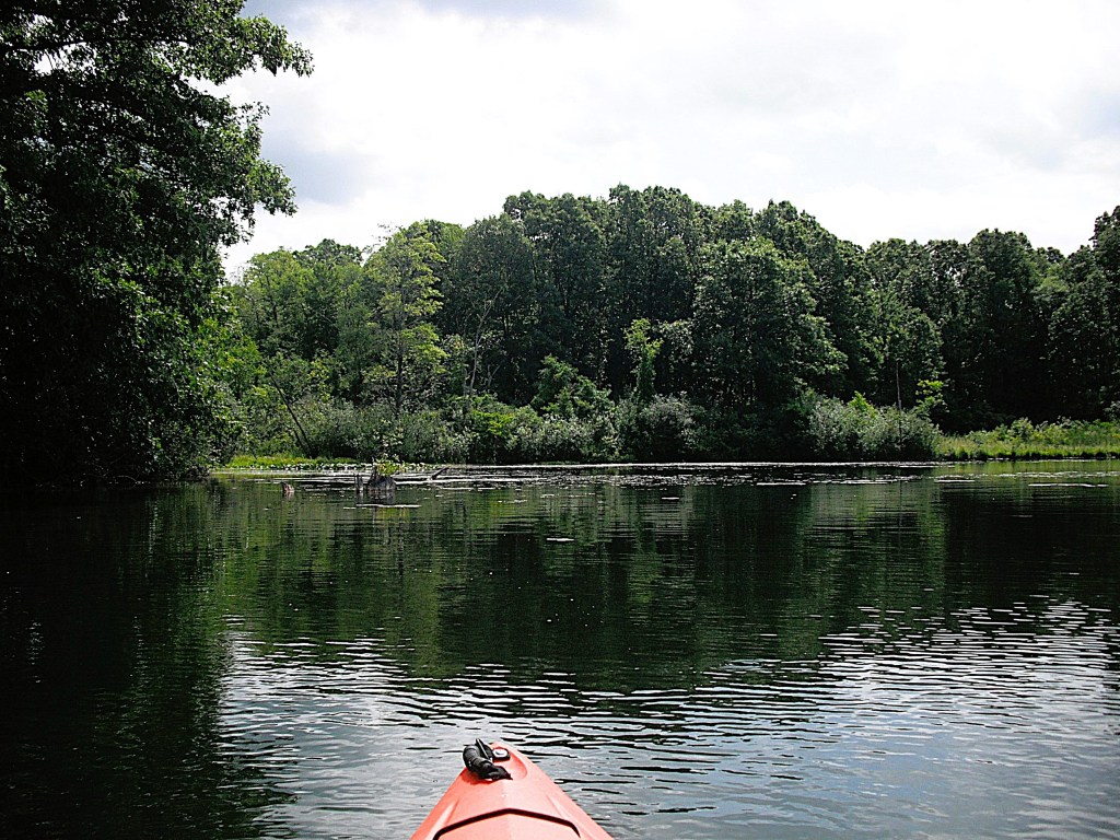
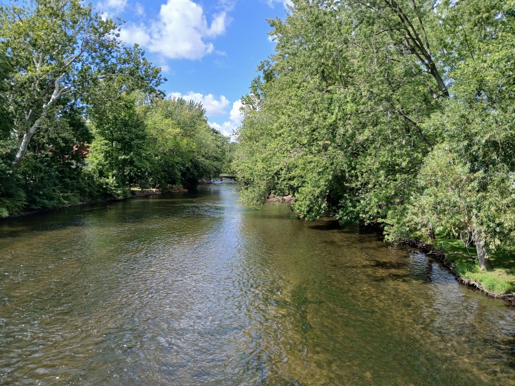
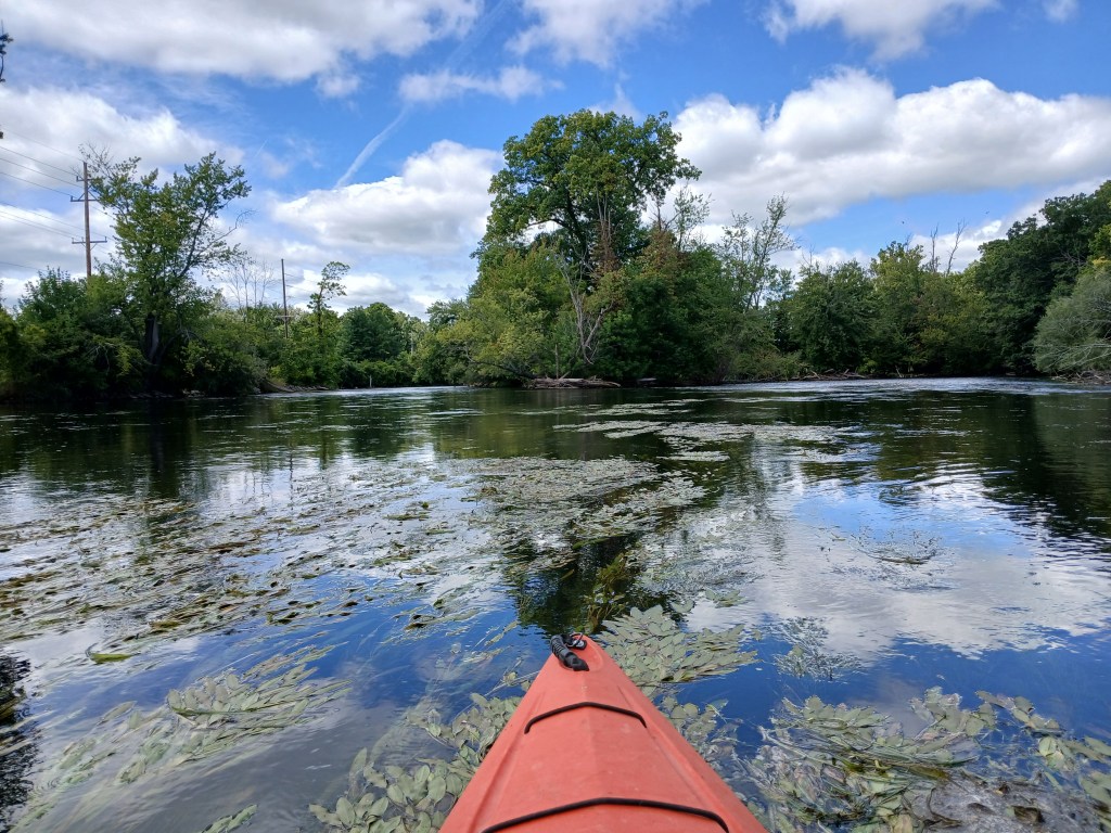
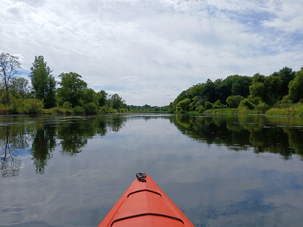
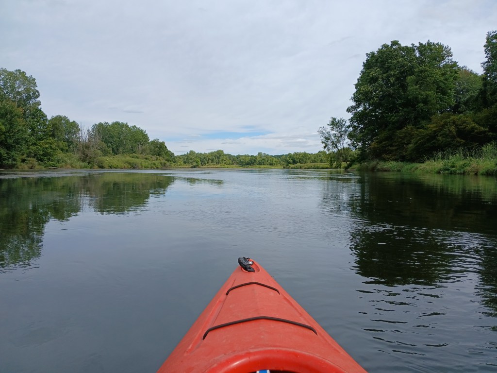
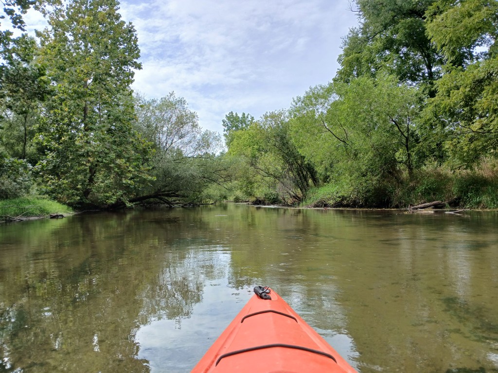
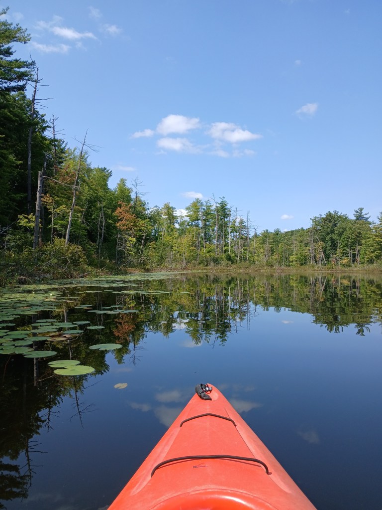
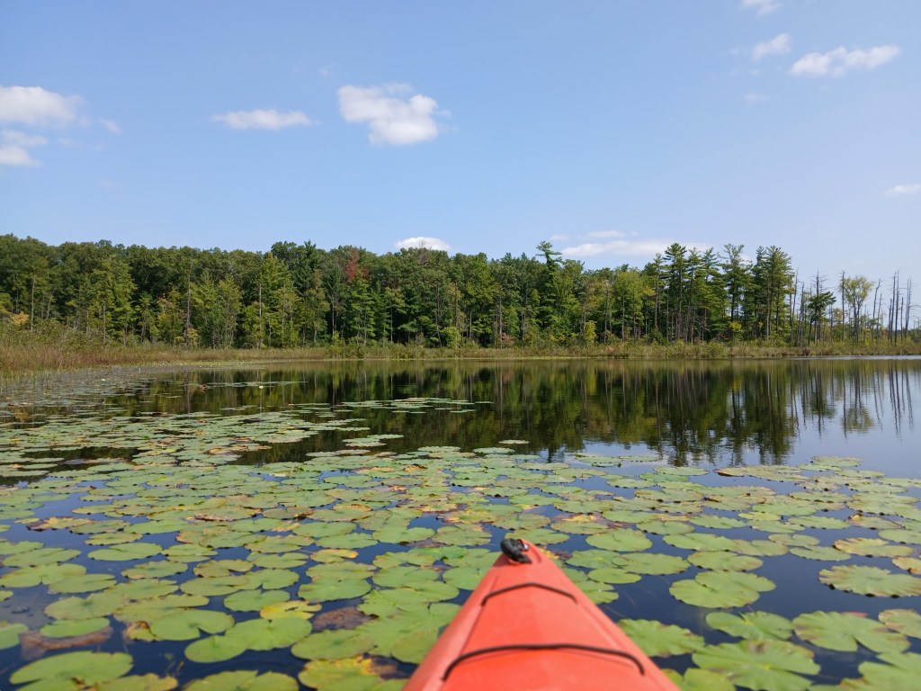
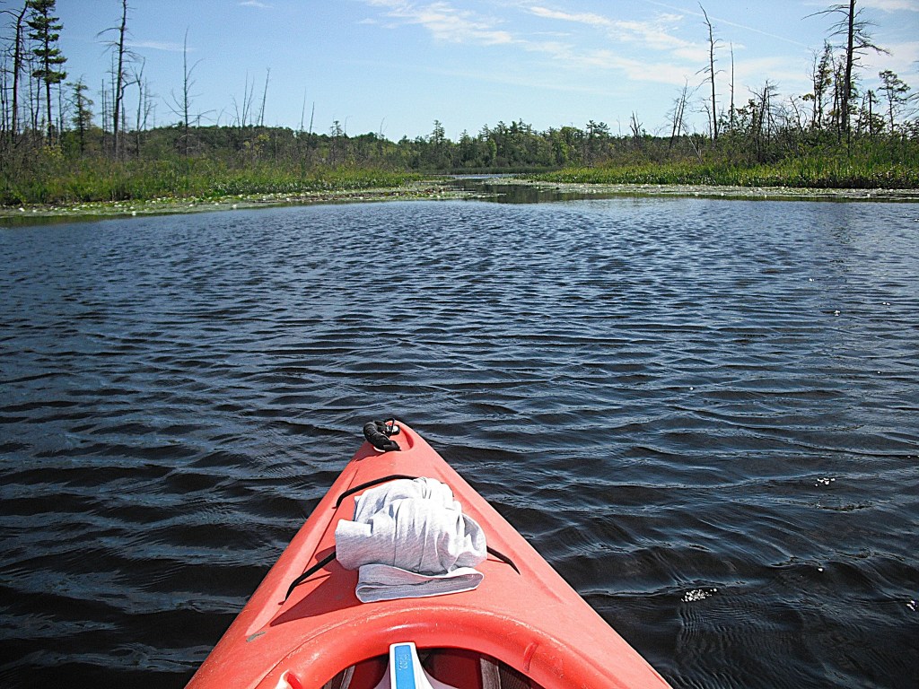
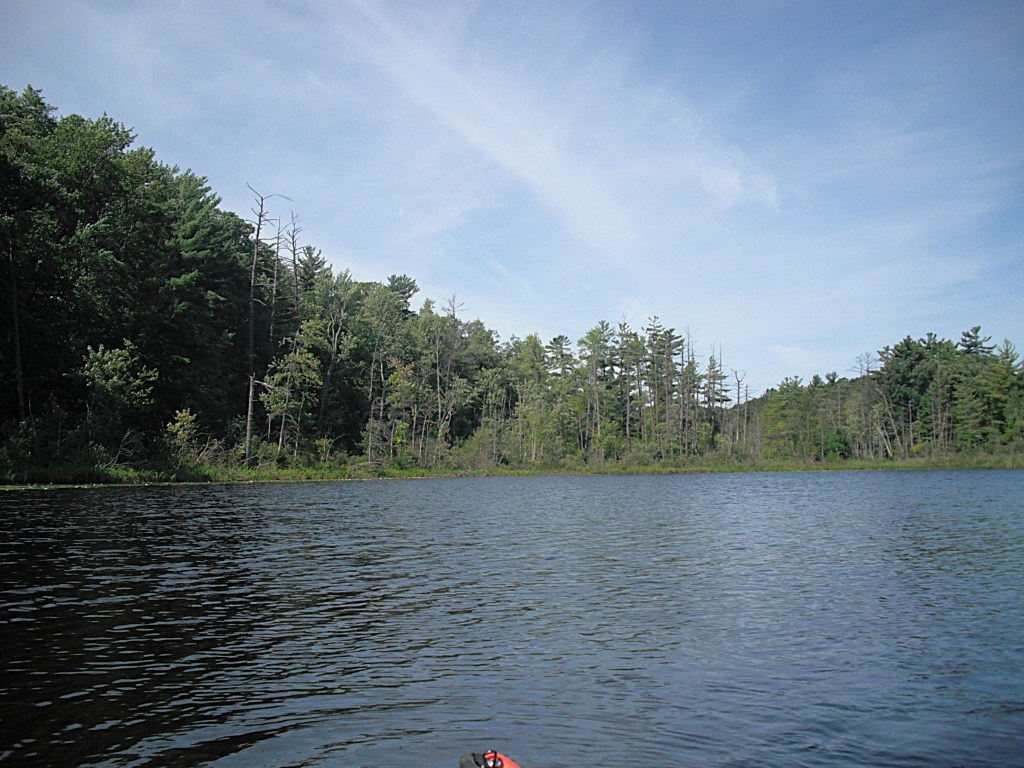
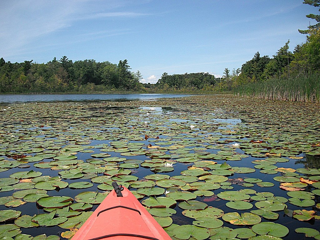
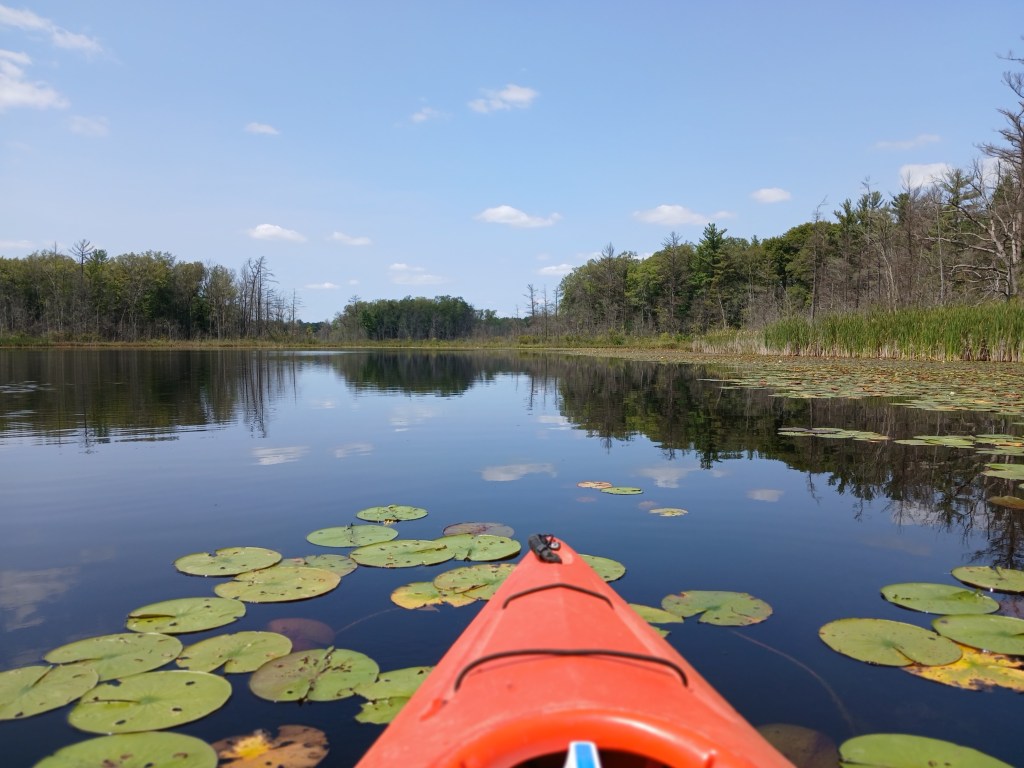
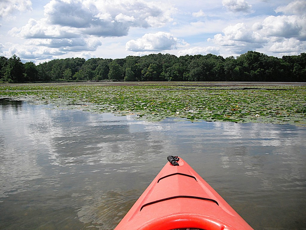
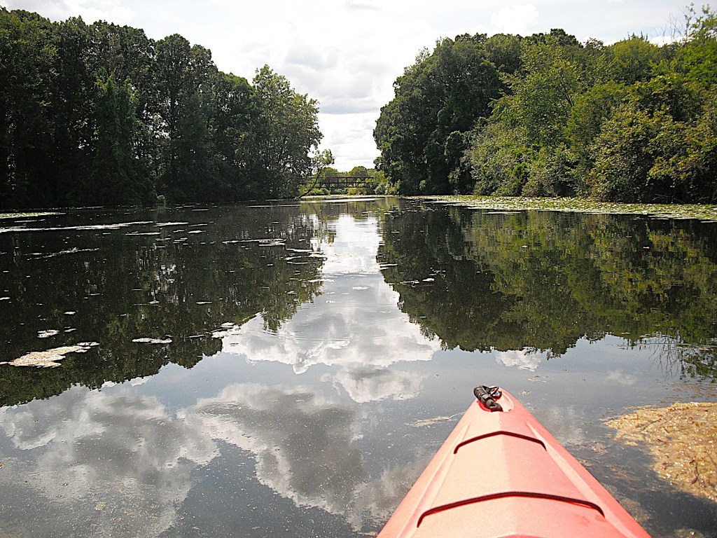
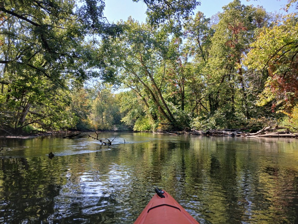
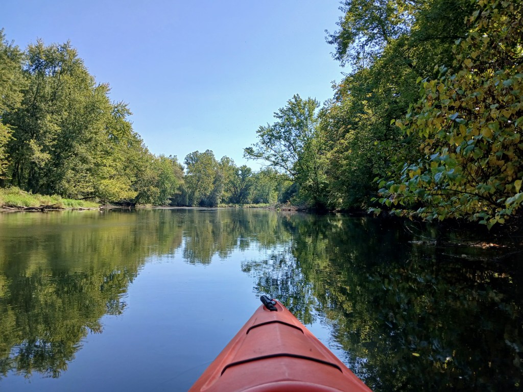
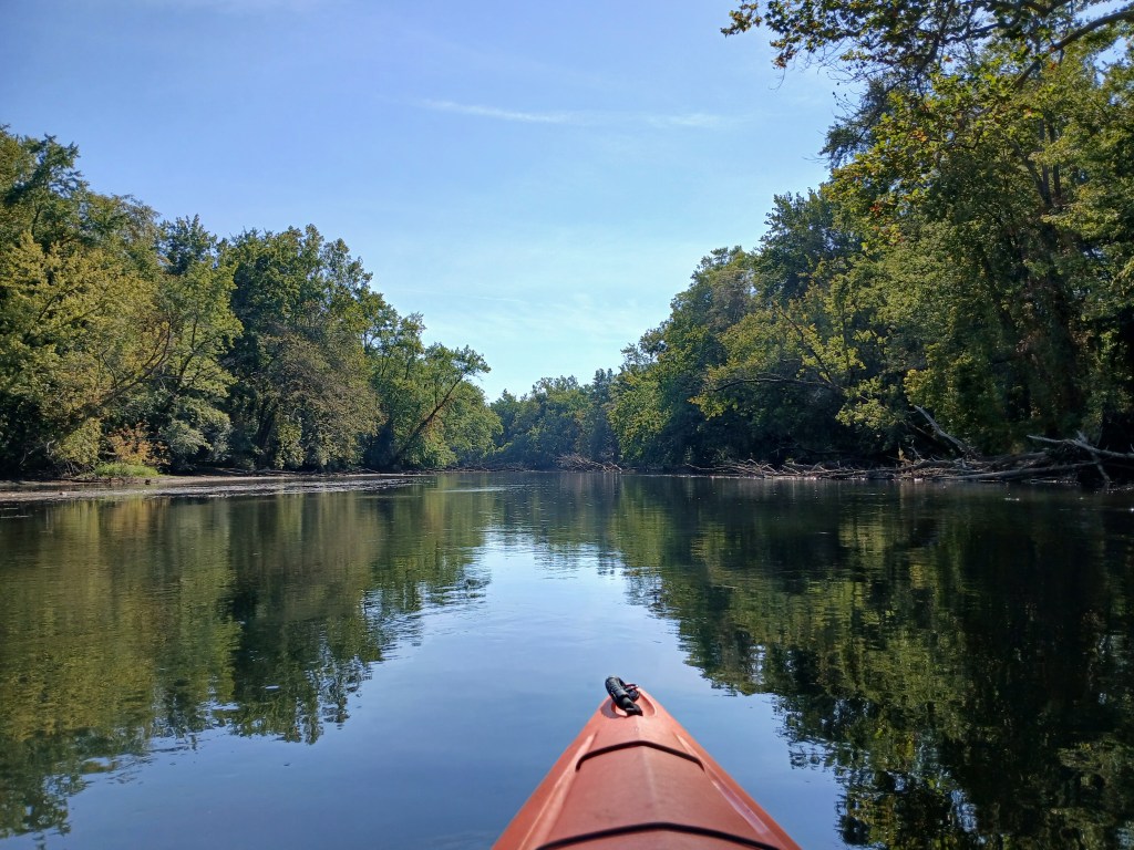
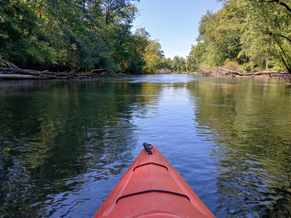
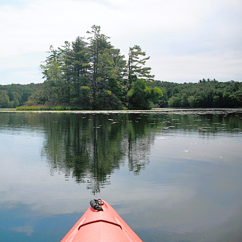
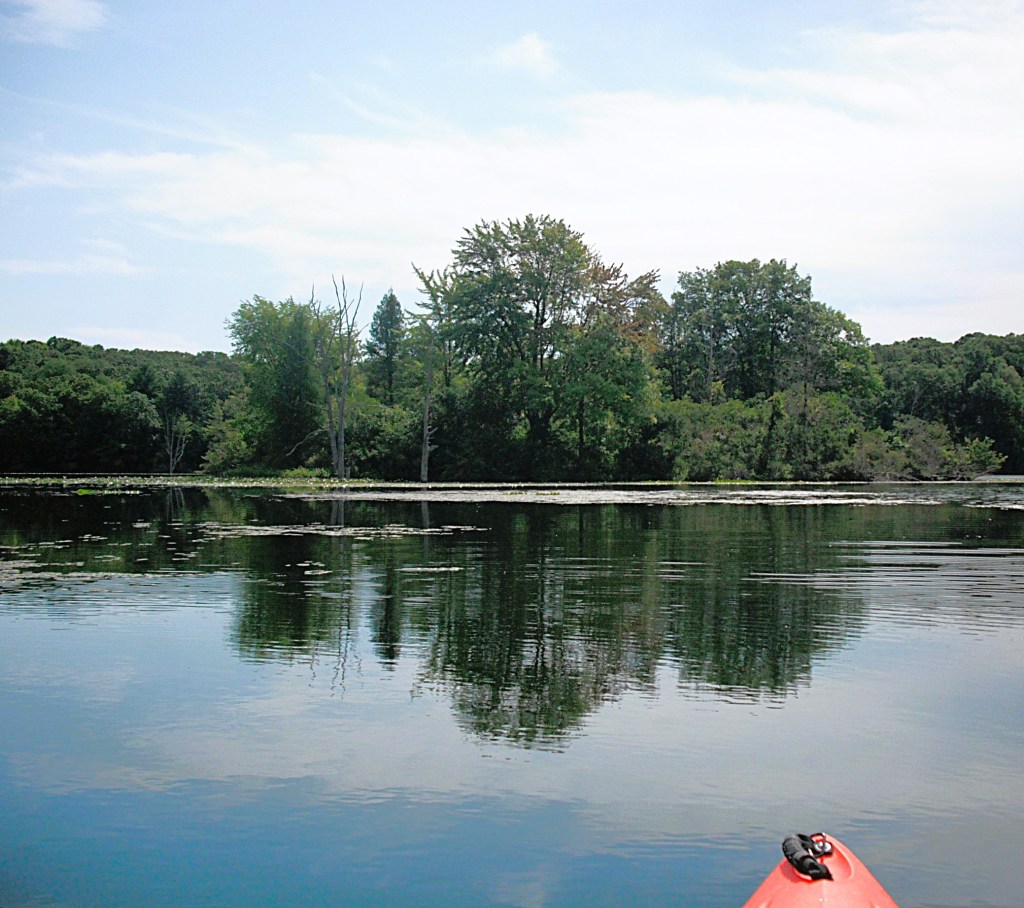
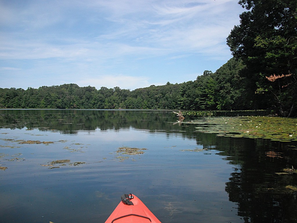
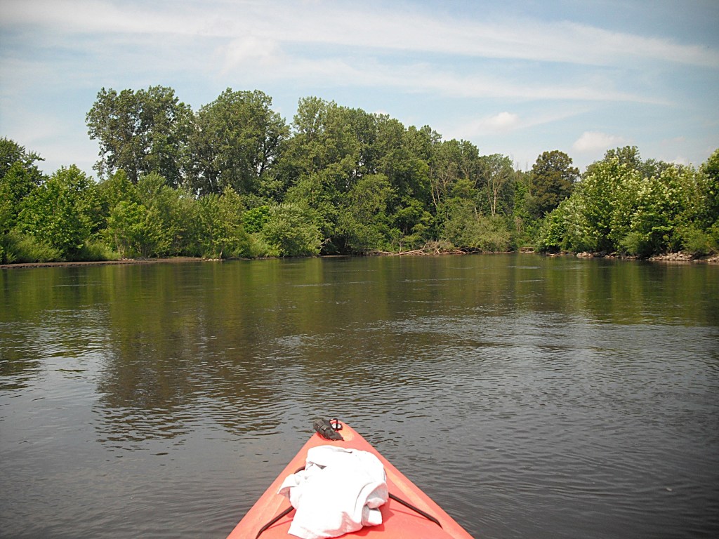
Before you recoil in horror at the mere thought of a urban kayak trip, let me assure you that you are in for a pleasant surprise. The river corridor is lined with trees that block out most of the city scenery. There is some traffic noise and industrial noise, but it isn’t unbearable. The river is wide and the current is slow. It is suitable for paddlers of all skill levels.
The trip begins at Merrill Park in Comstock. The entrance to the park is on Comstock Avenue, west of River Street. Restrooms, picnic shelters, and parking are all on site. We kayaked this stretch of river in July 2020 and the river was dirty, the result of the Morrow Lake draw down for dam repairs. The dam is upstream from Comstock.
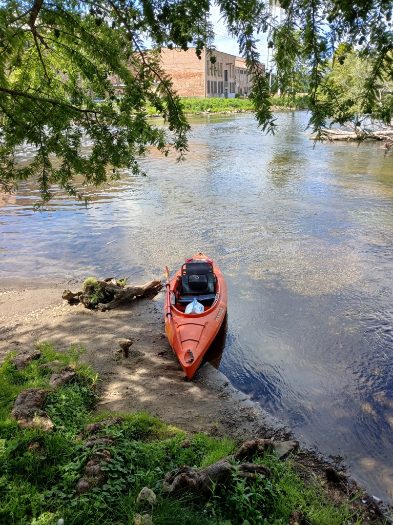
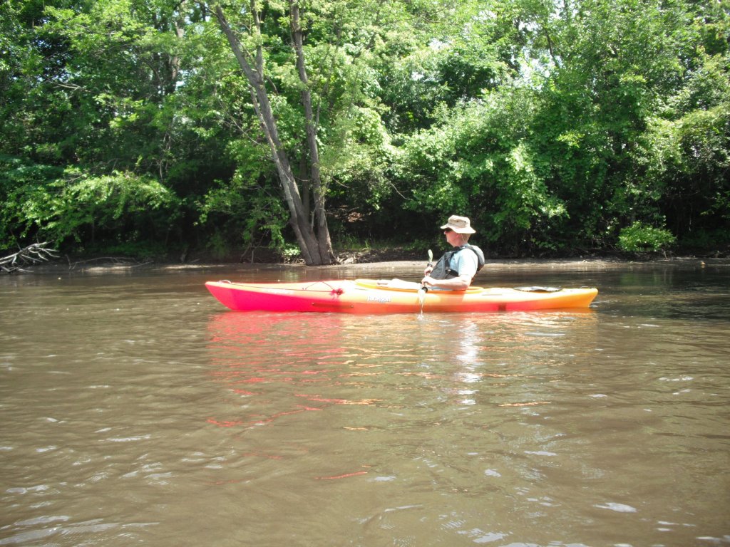
My friend Dan joined me on this trip.
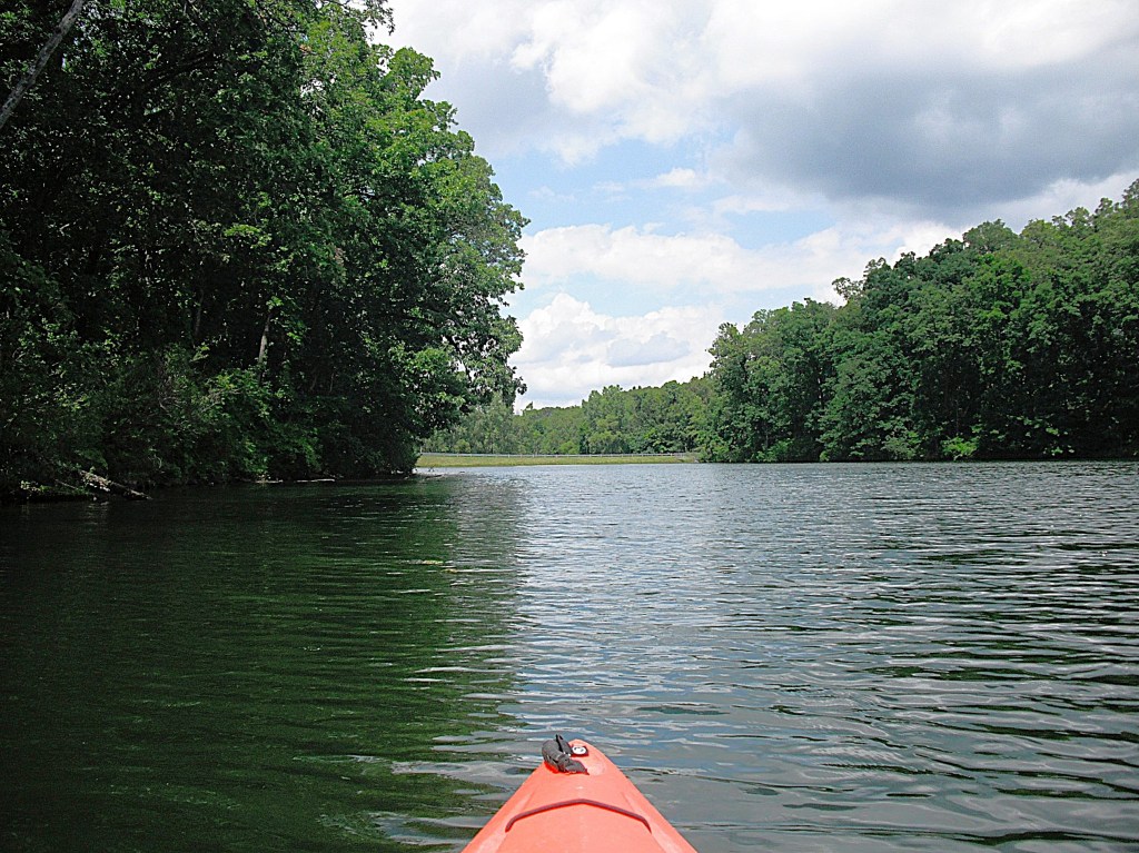
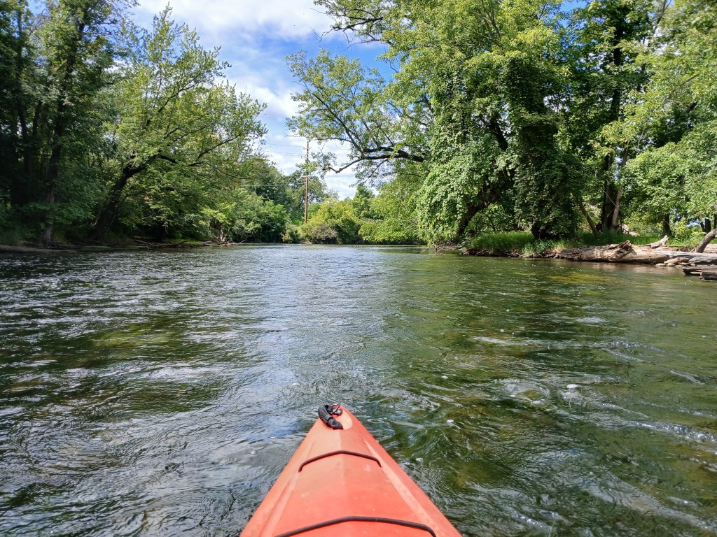
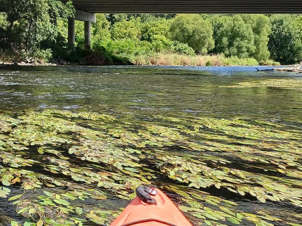
There is a short stretch of fast water beginning right at the boat ramp. The river shortly returns to a more tranquil speed. The river heads due east.


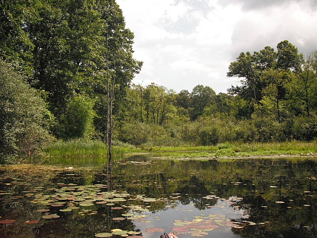
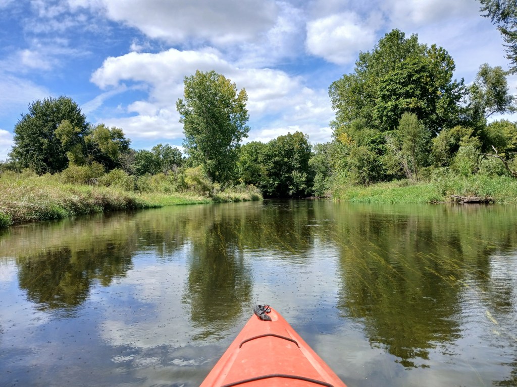
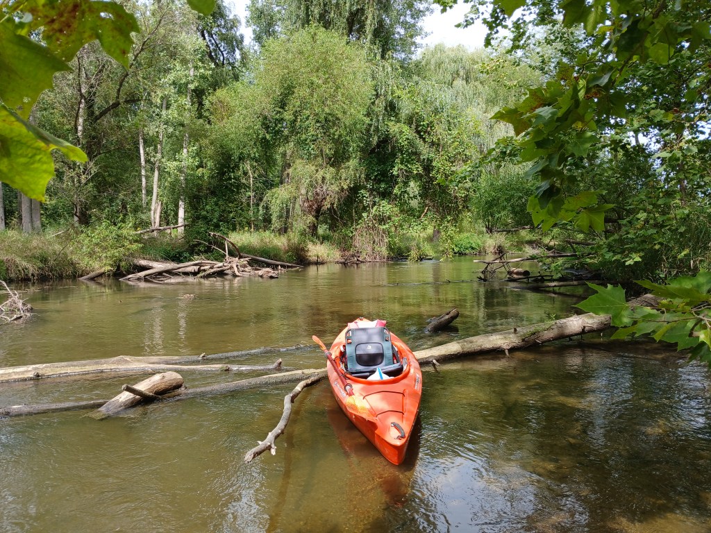
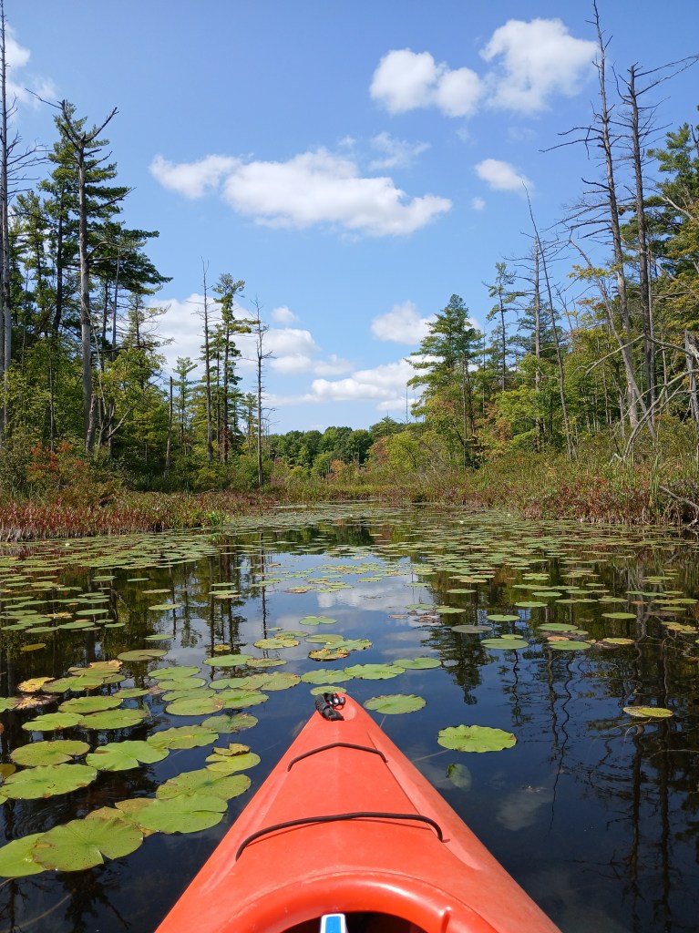
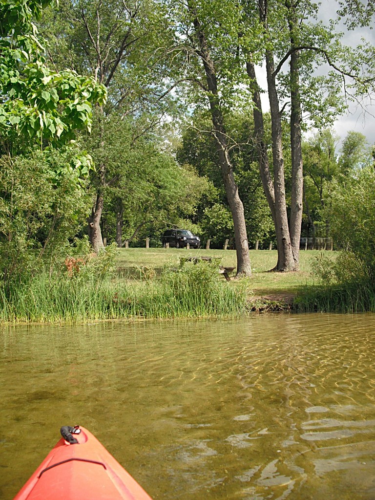
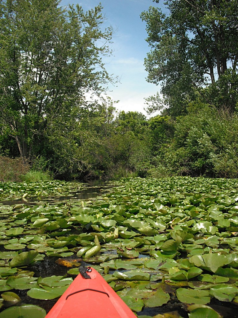
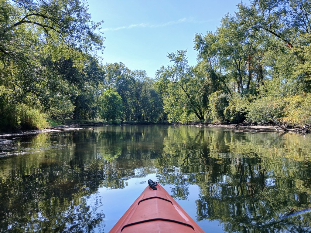
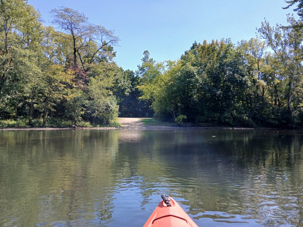
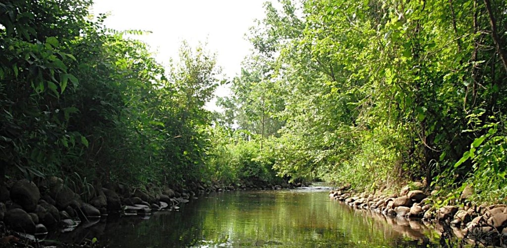
Upstream from King Highway, the mouth of Davis Creek is on the south side of the river. We took a side trip up the shallow, clear waters of the creek.
We then resumed our trip down the river.
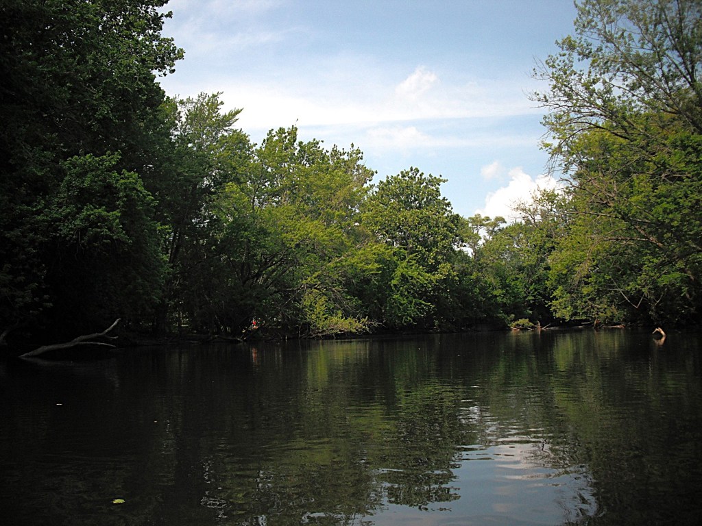
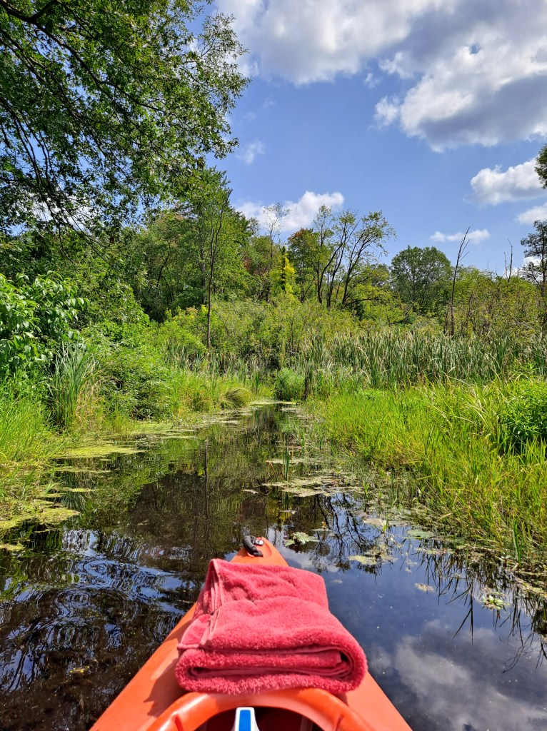
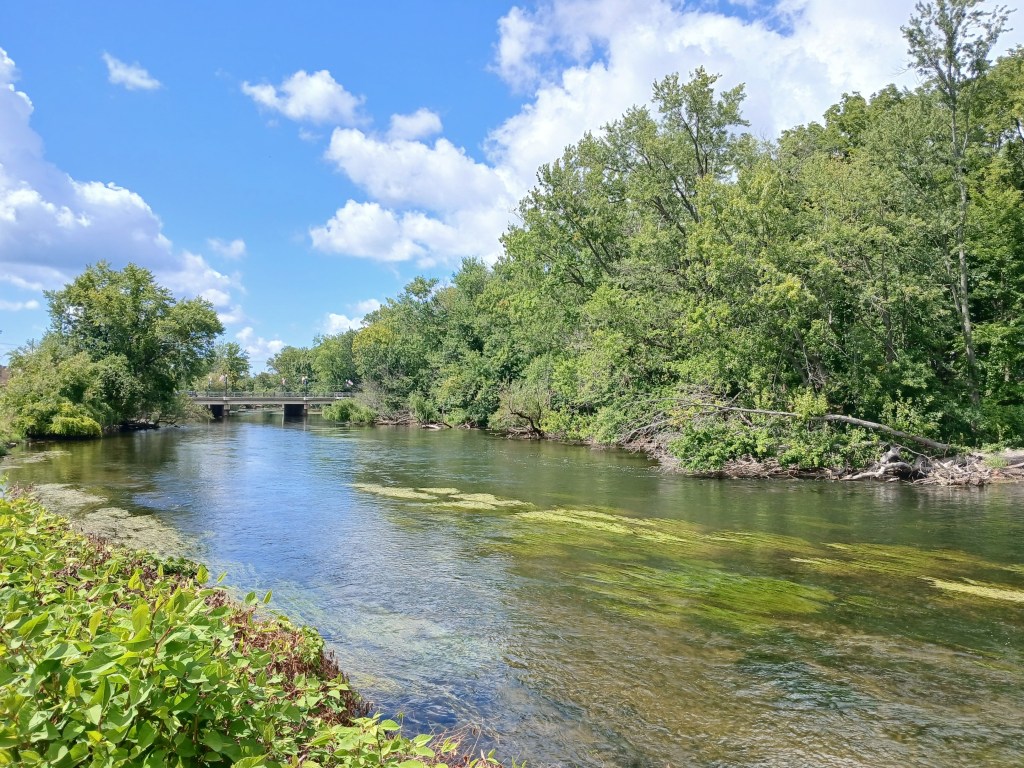
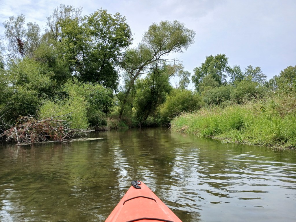
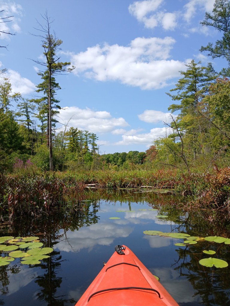
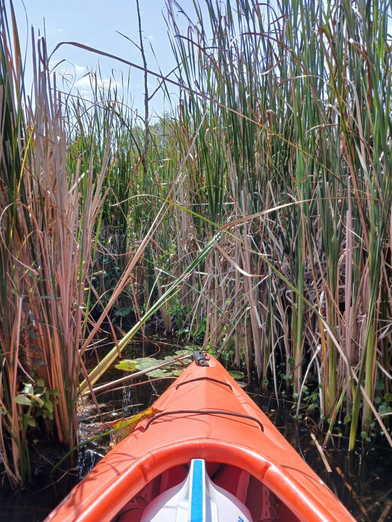
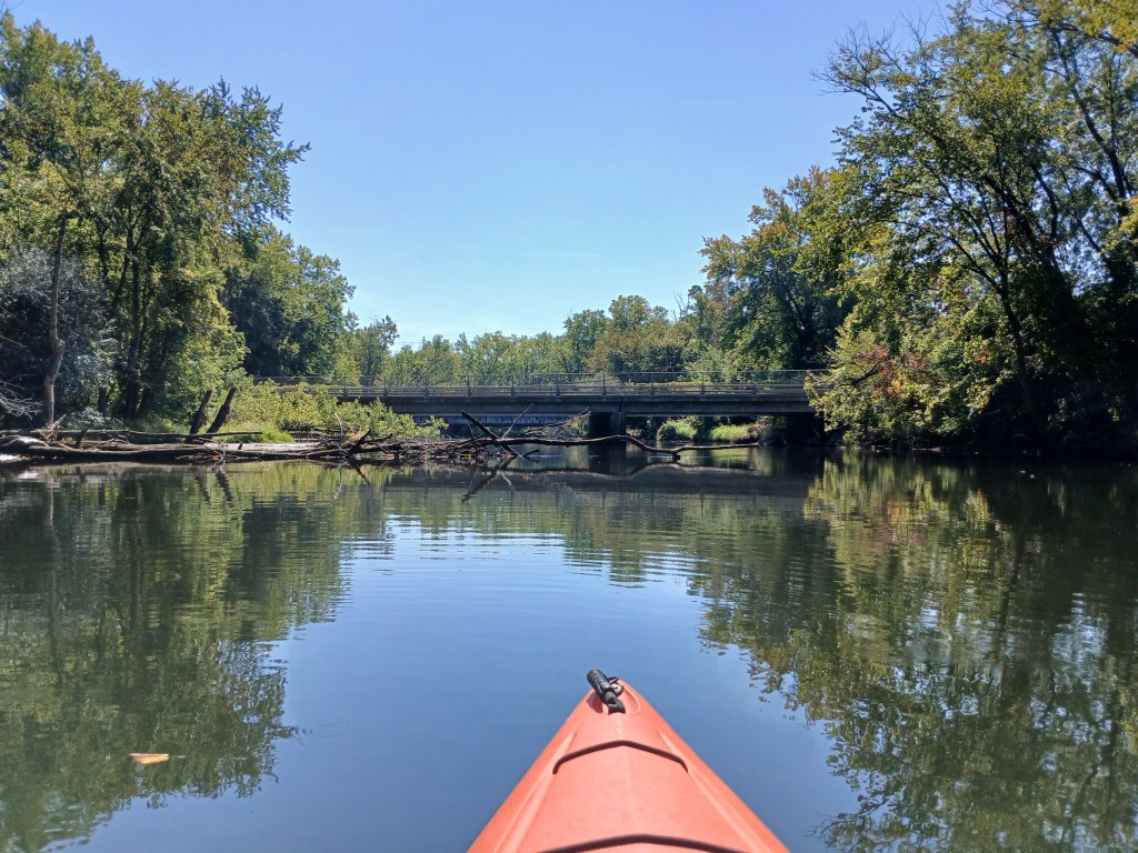
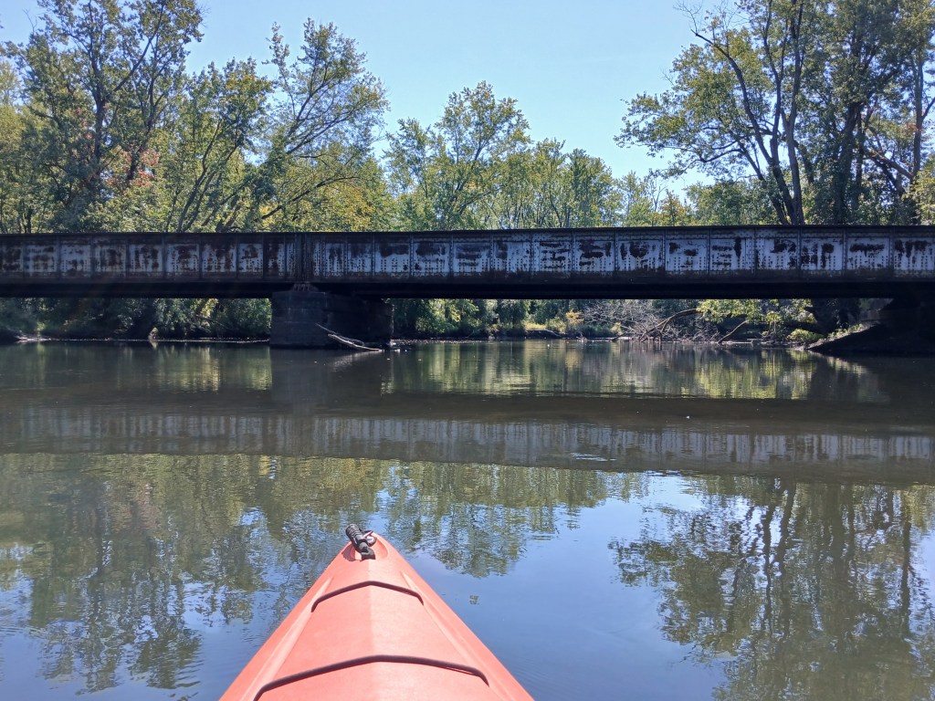
After the Mills Street bridge, the river curves and heads north for the remainder of the trip. Just downstream from the Michigan Avenue bridge, on the west side of the river, is the mouth of Portage Creek. We paddled up the creek for a while. The current in the shallow, clear creek was swift. The scenery was city industrial. This stretch of the Portage Creek was not our cup of tea, so we returned to the more scenic river. Just downstream from the creek mouth is a railroad bridge. After that bridge, on the west side of the river, Arcadia Creek emerges from a culvert and dumps into the river.

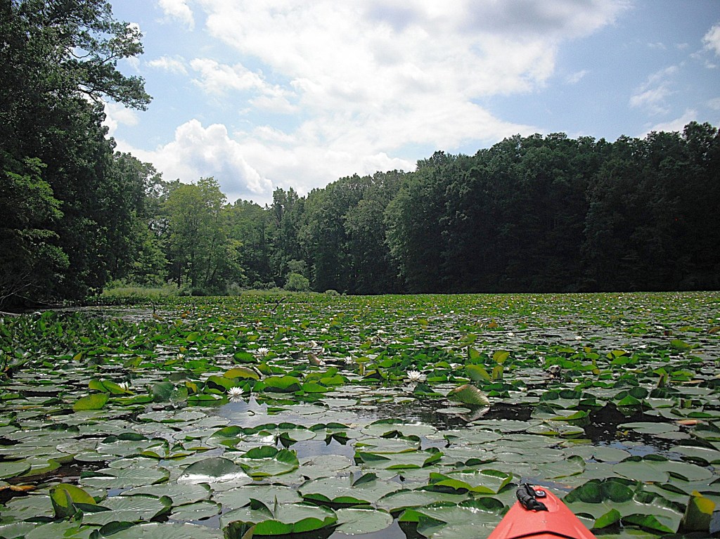
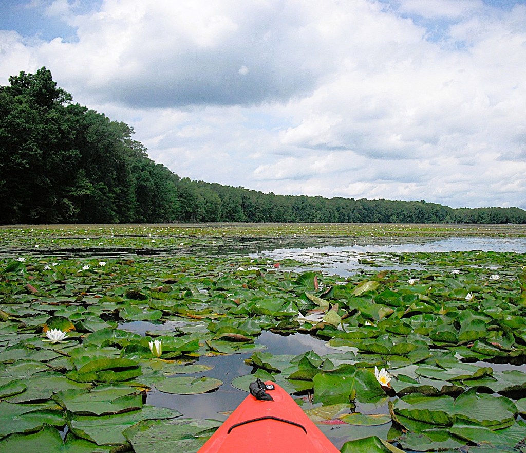
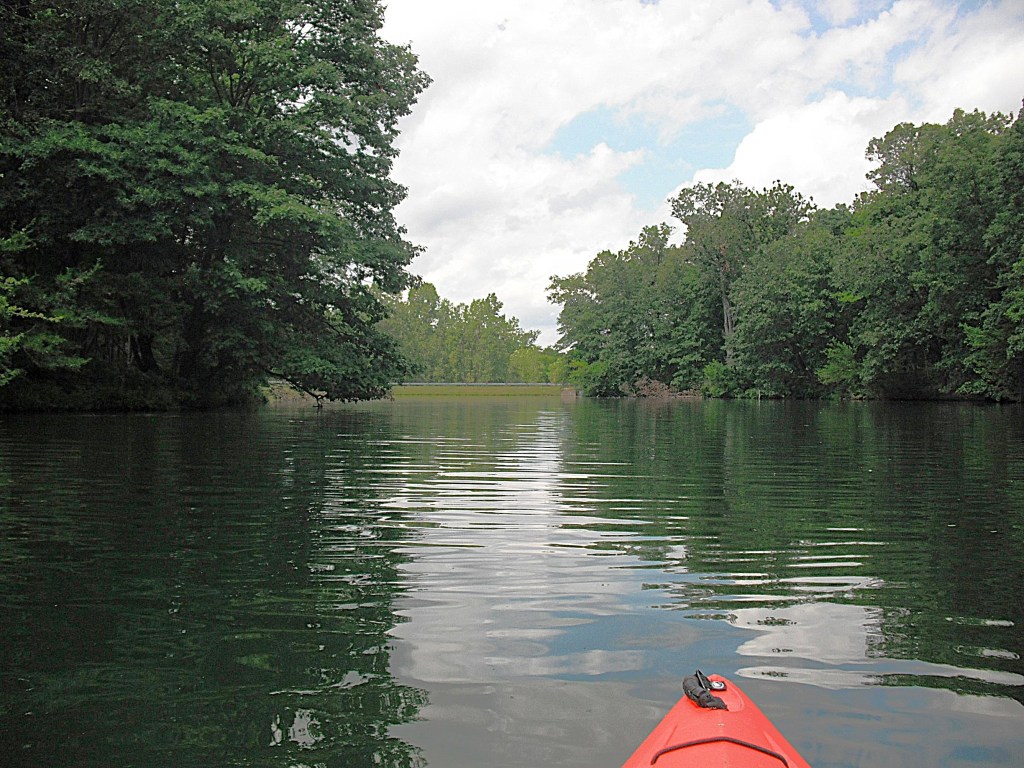
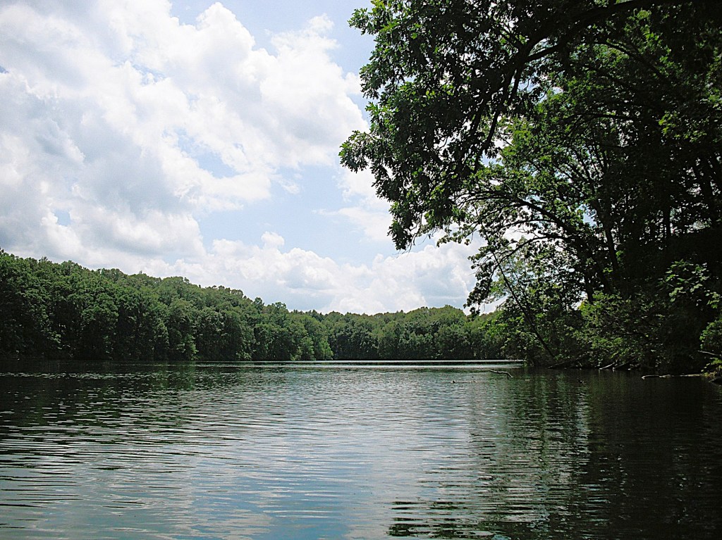
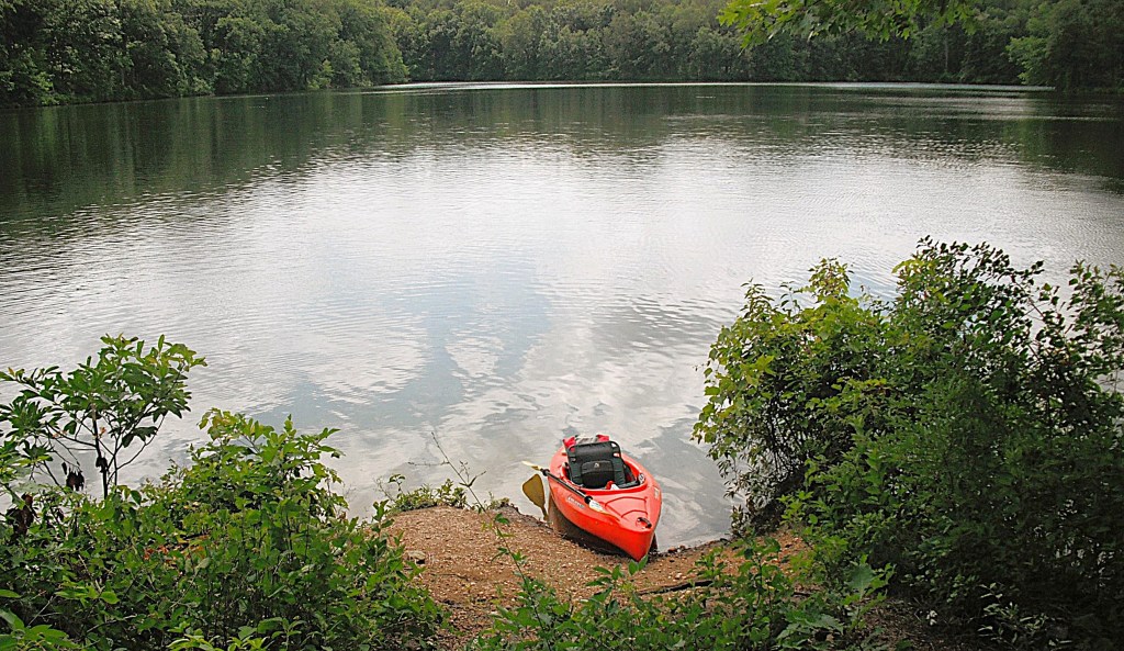
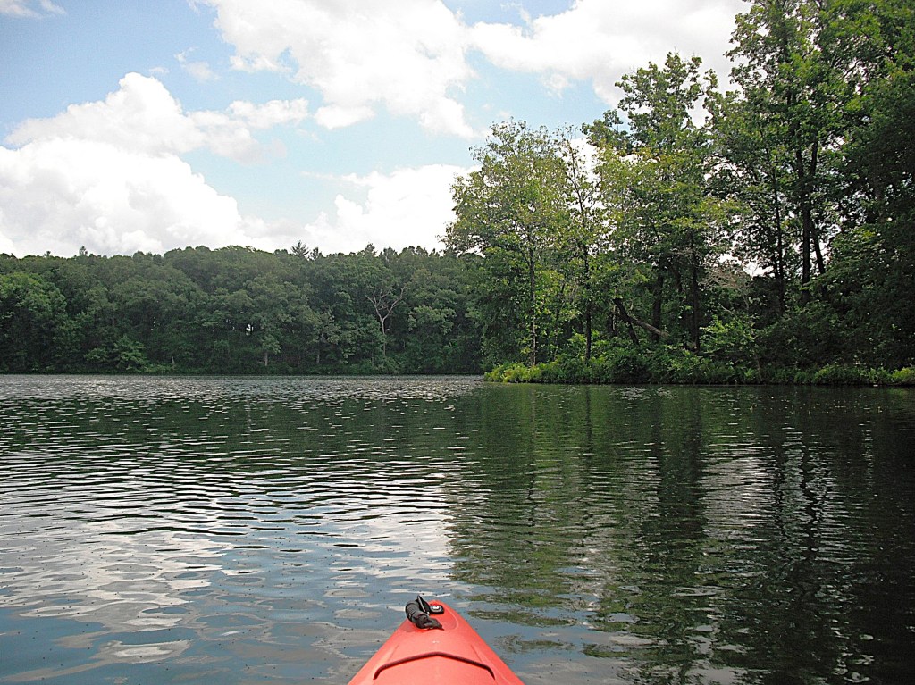
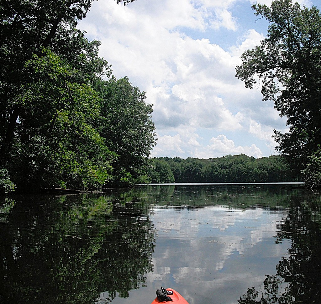
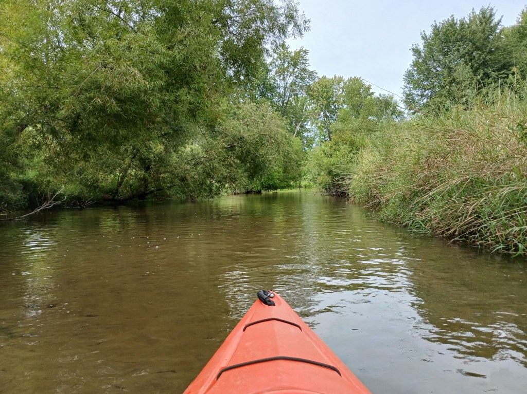
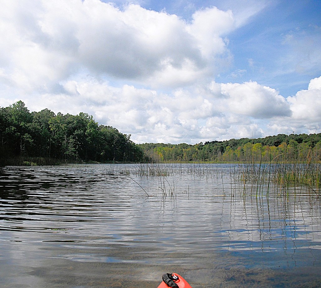
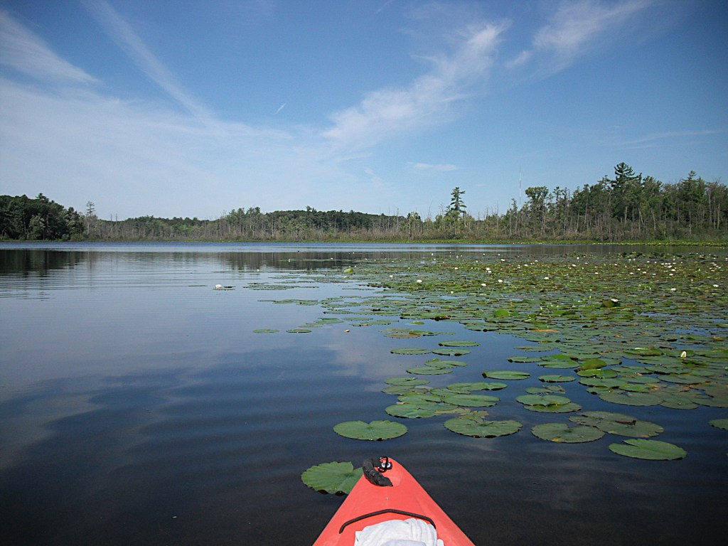
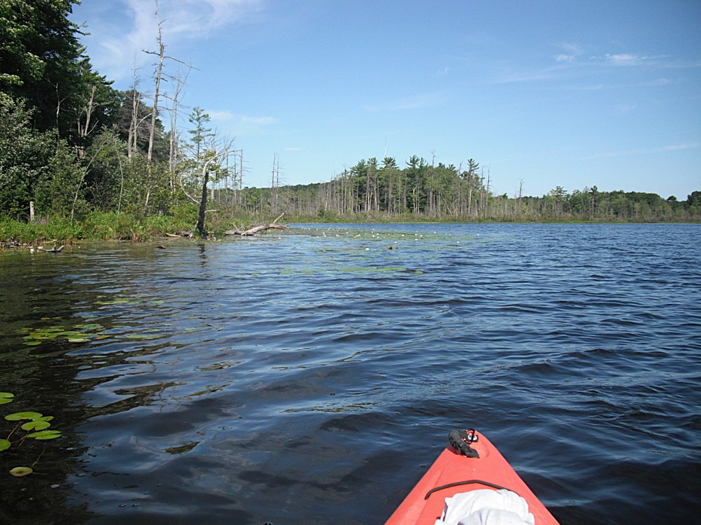
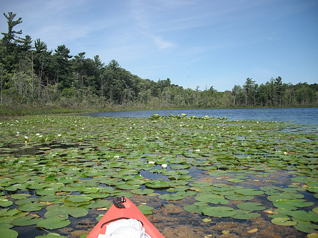
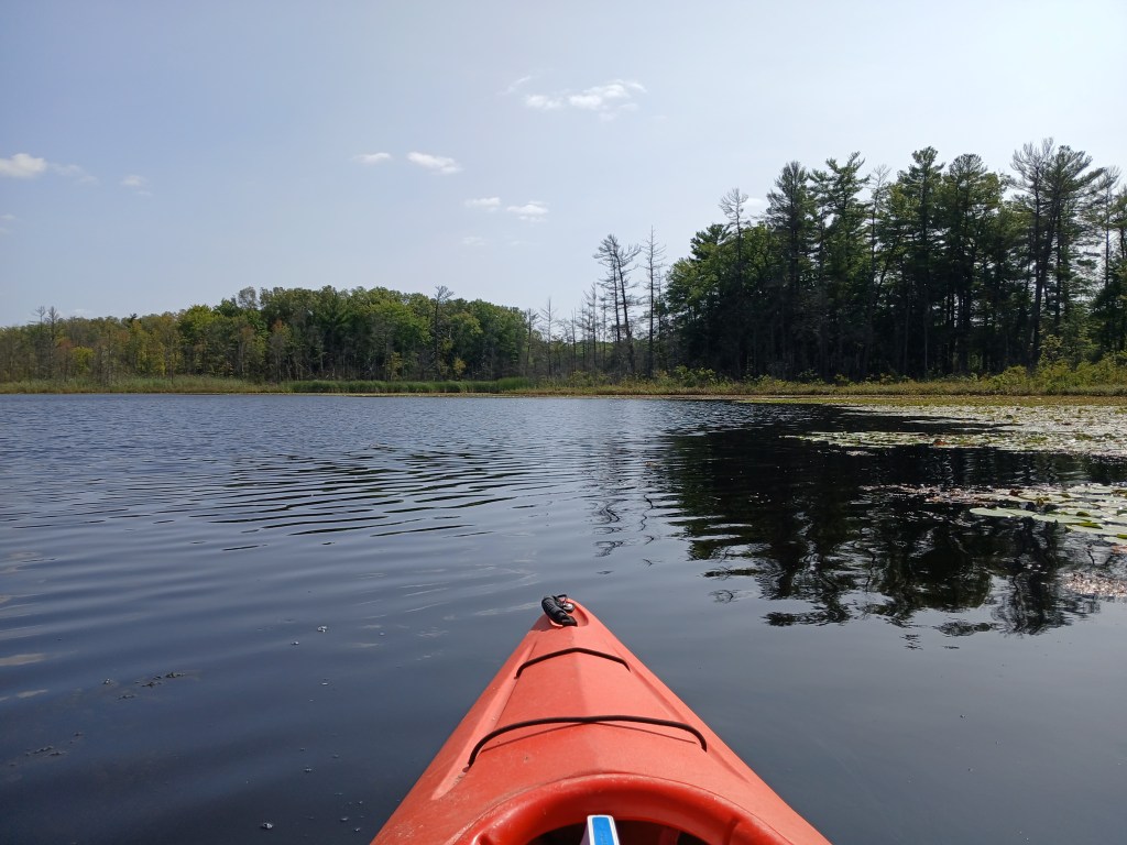
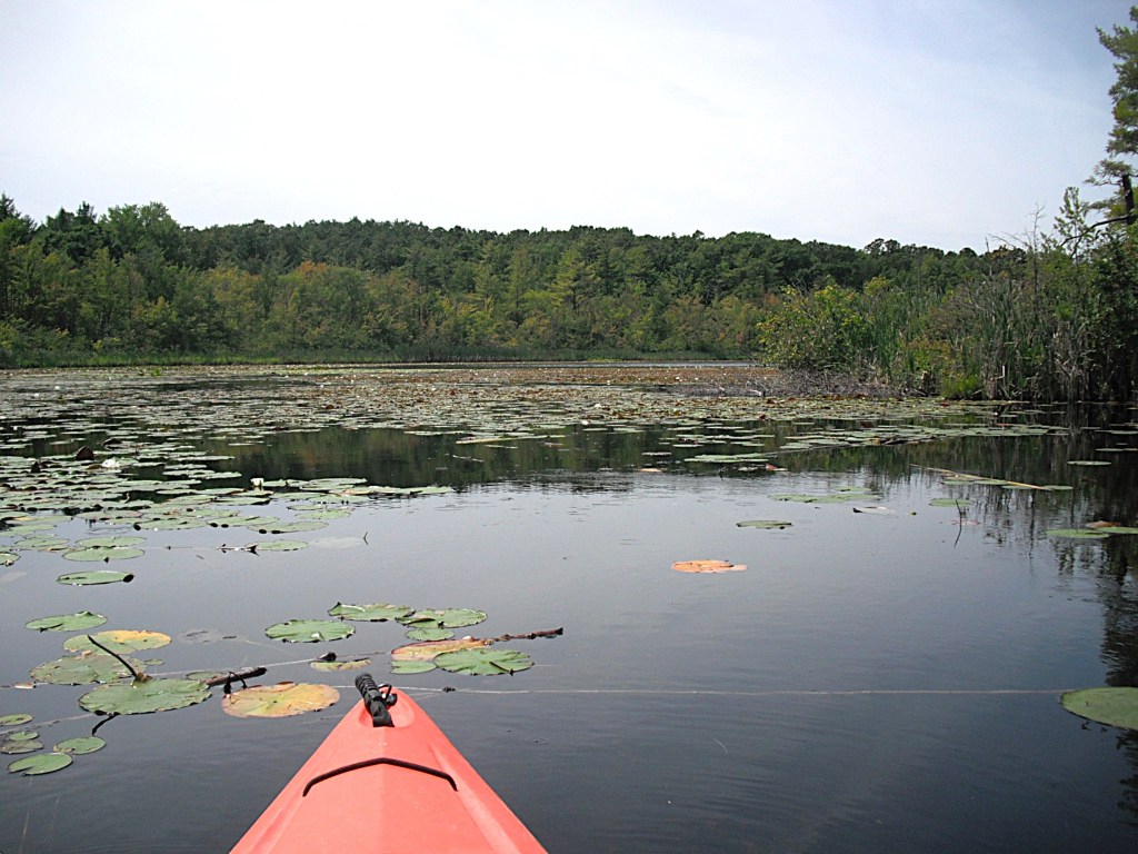
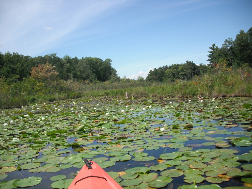
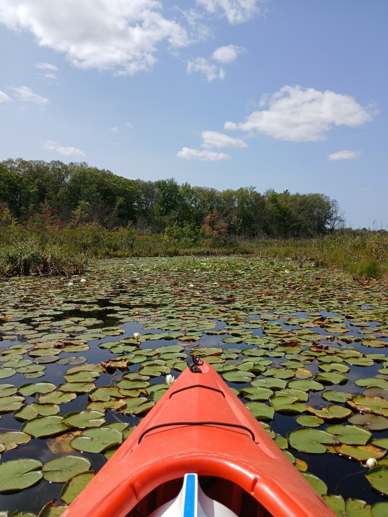
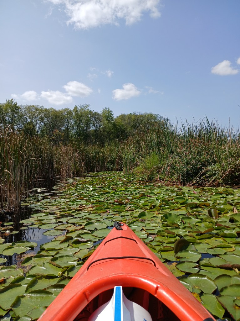
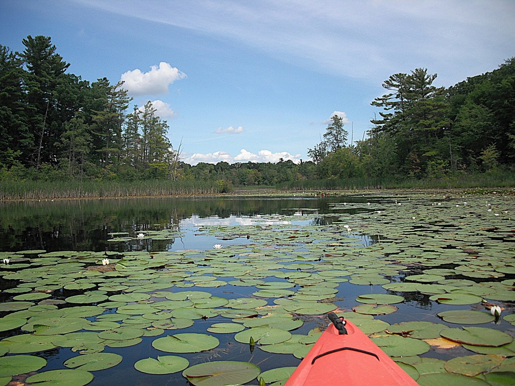
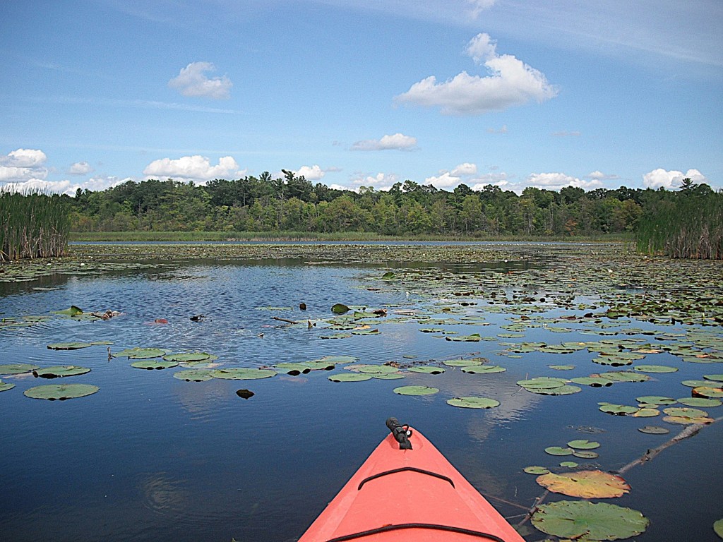
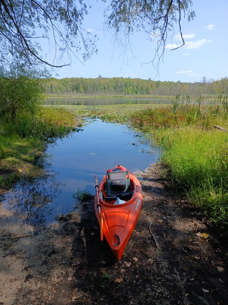
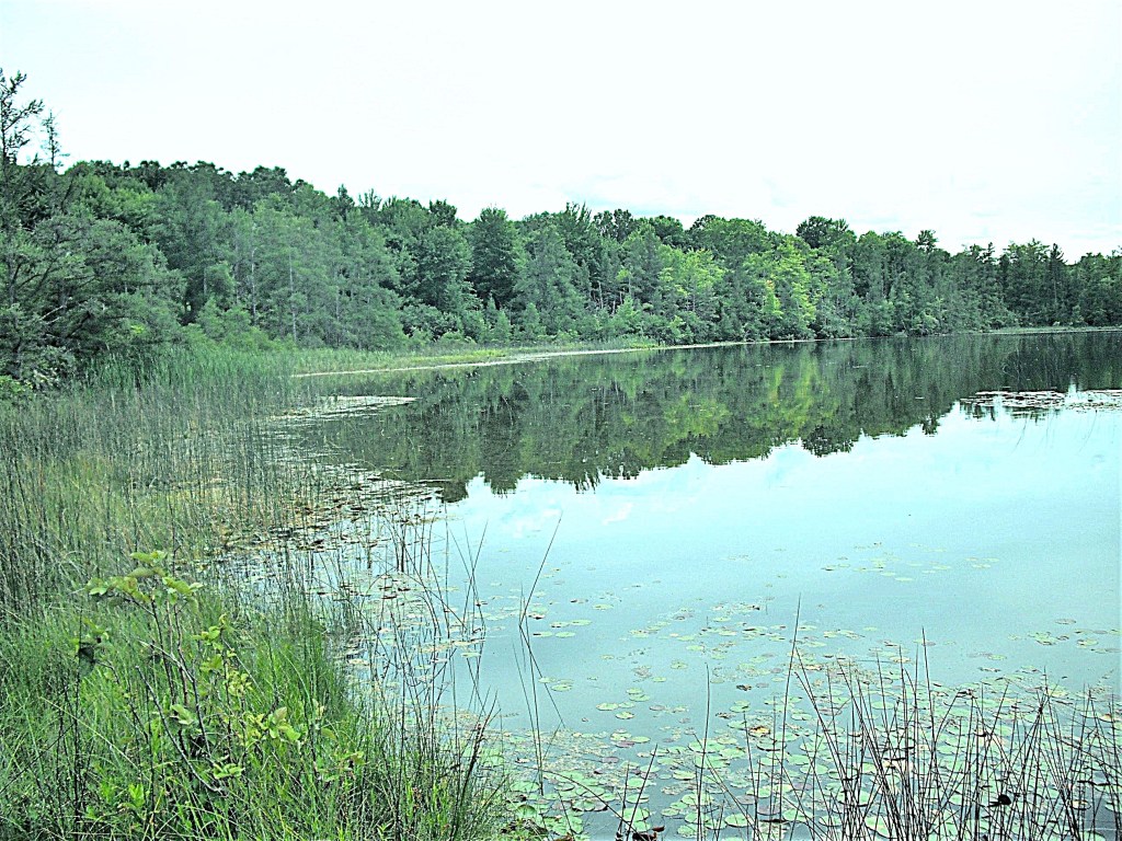
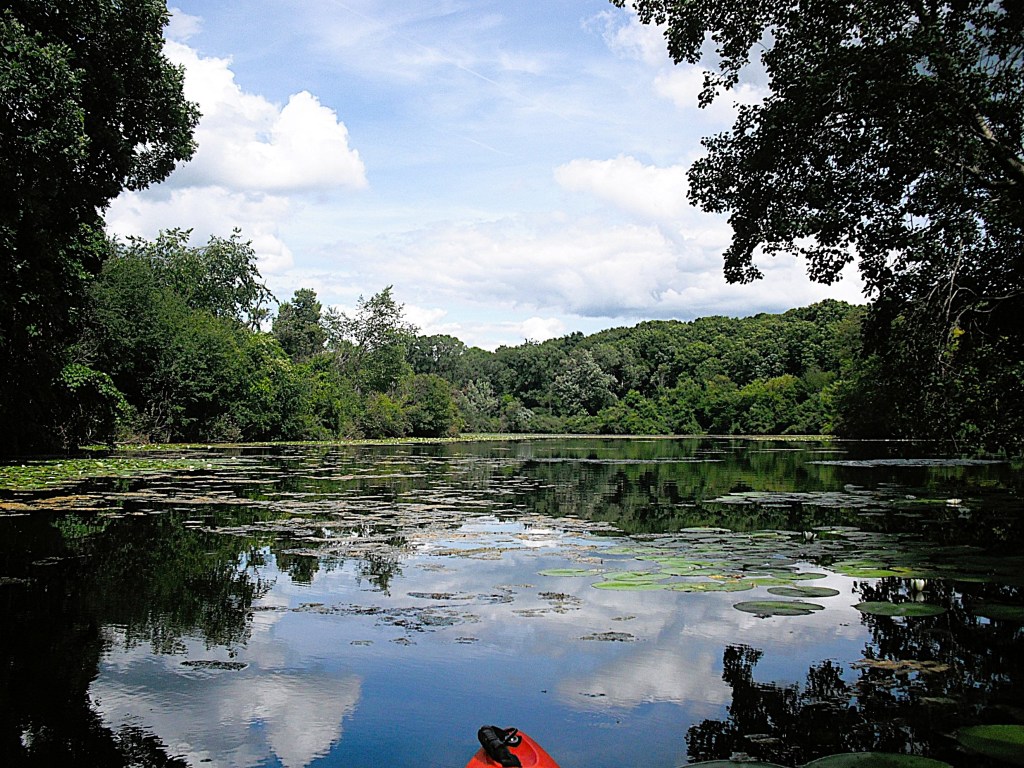
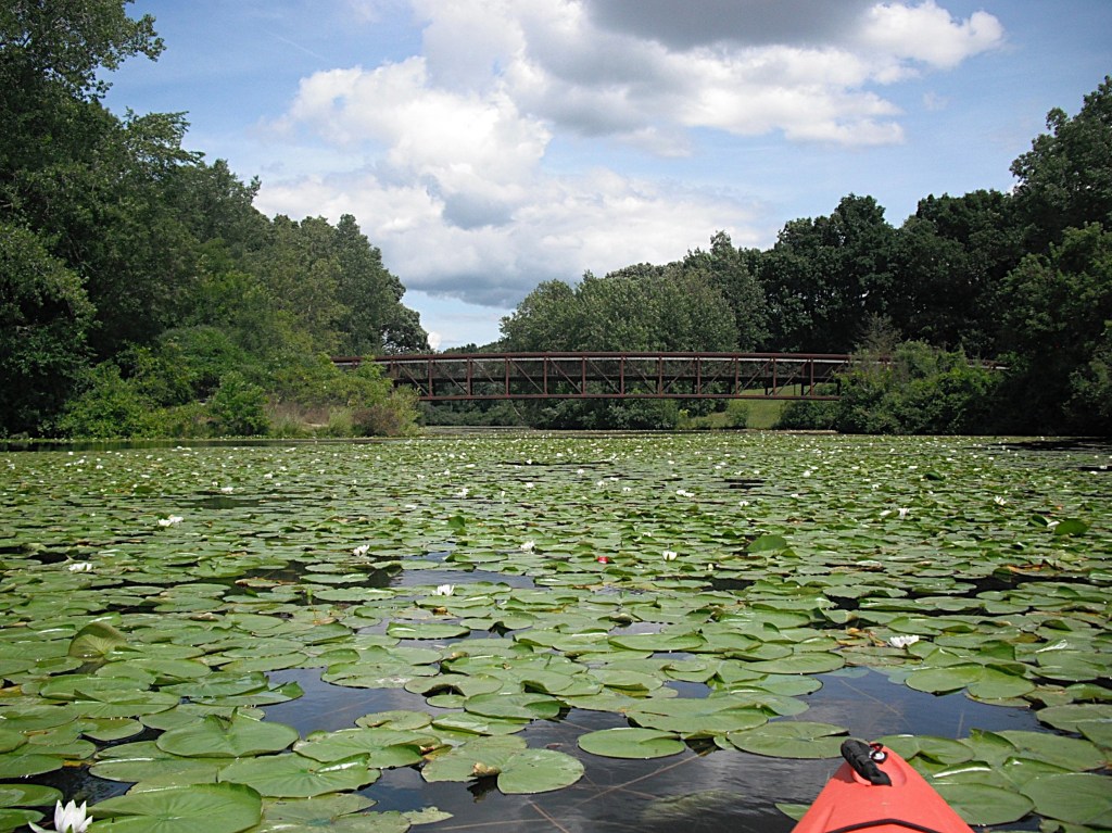
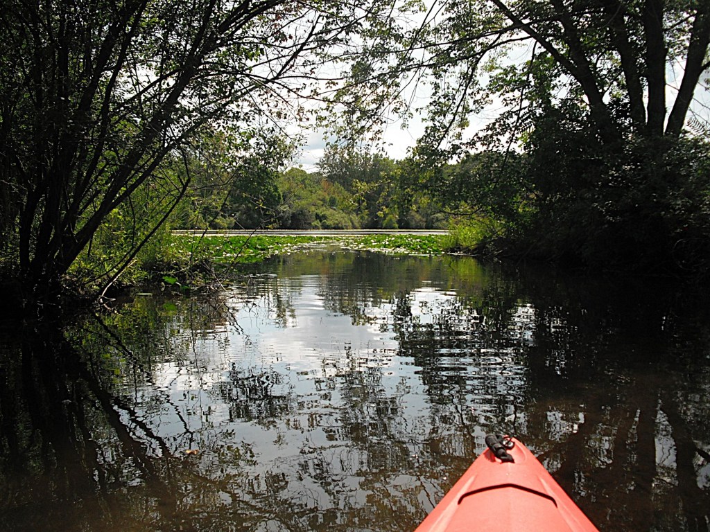
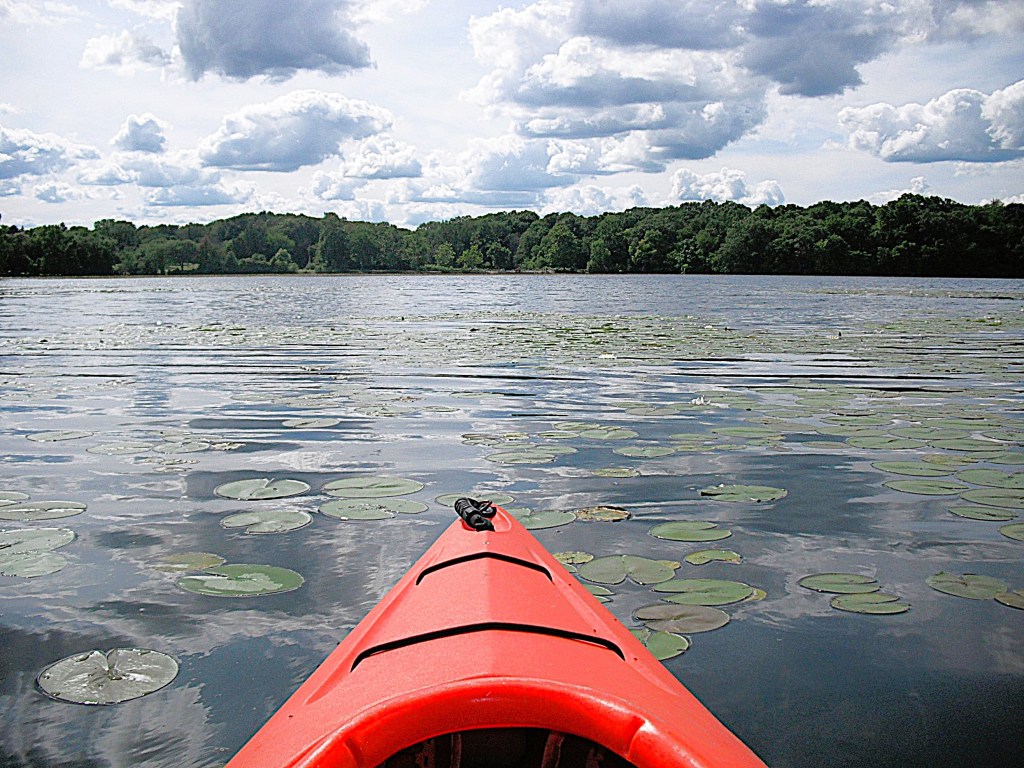
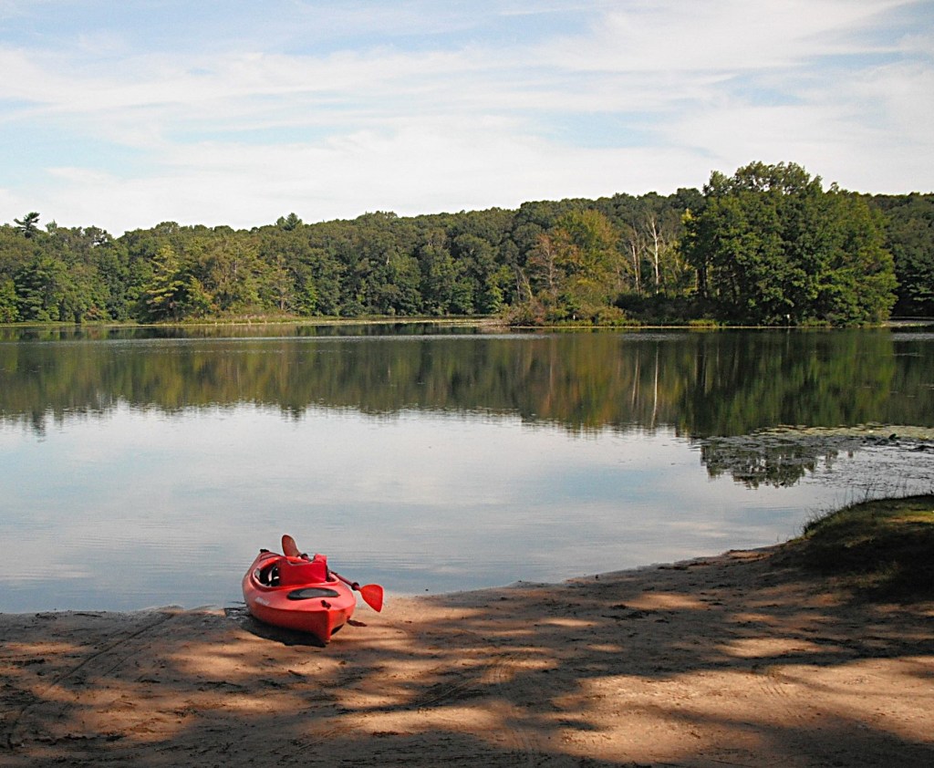
Between Gull Road and Patterson Street, on the west side of the river, is a short channel that takes you to a small lake and Verburg Park.
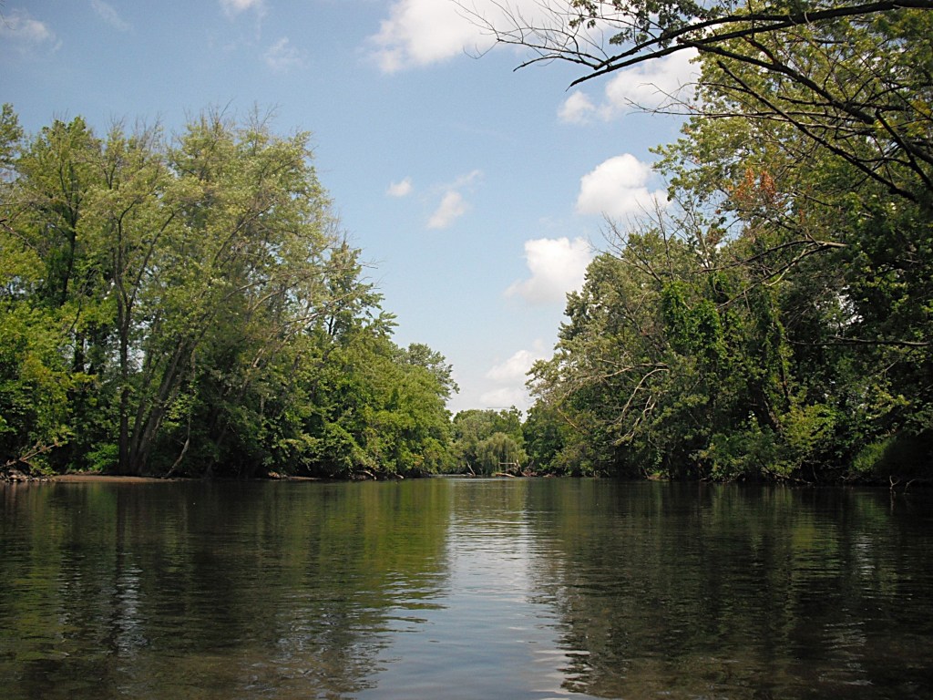
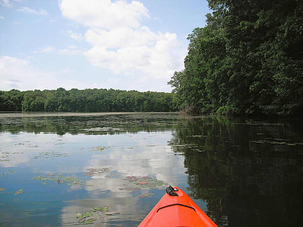
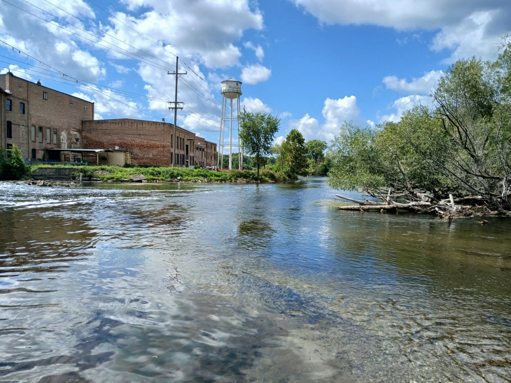
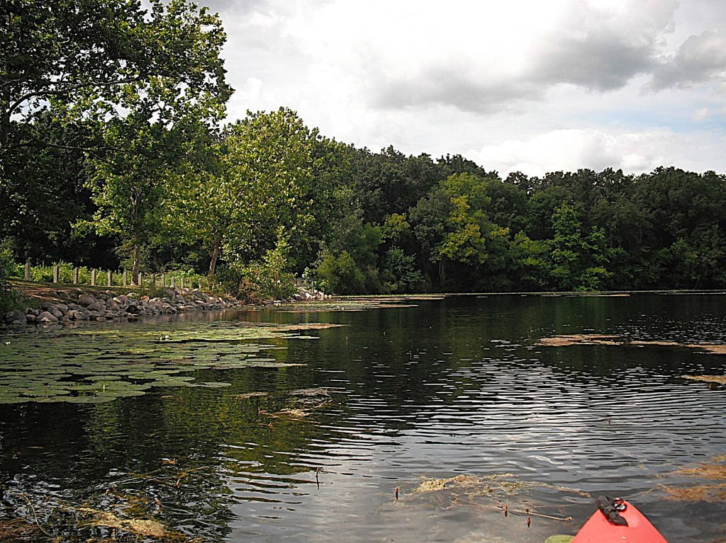
Downstream from the Patterson Street bridge, on the west bank, is the Kalamazoo Municipal Water Treatment Plant. Sometimes, the plant can have an unpleasant odor. Not much of the plant is visible from the river. A very noticeable power line is on the east bank of the river. The wooded shorelines of the rest of this stretch make up for the two distractions. Spring Valley Creek flows into the river from the east.
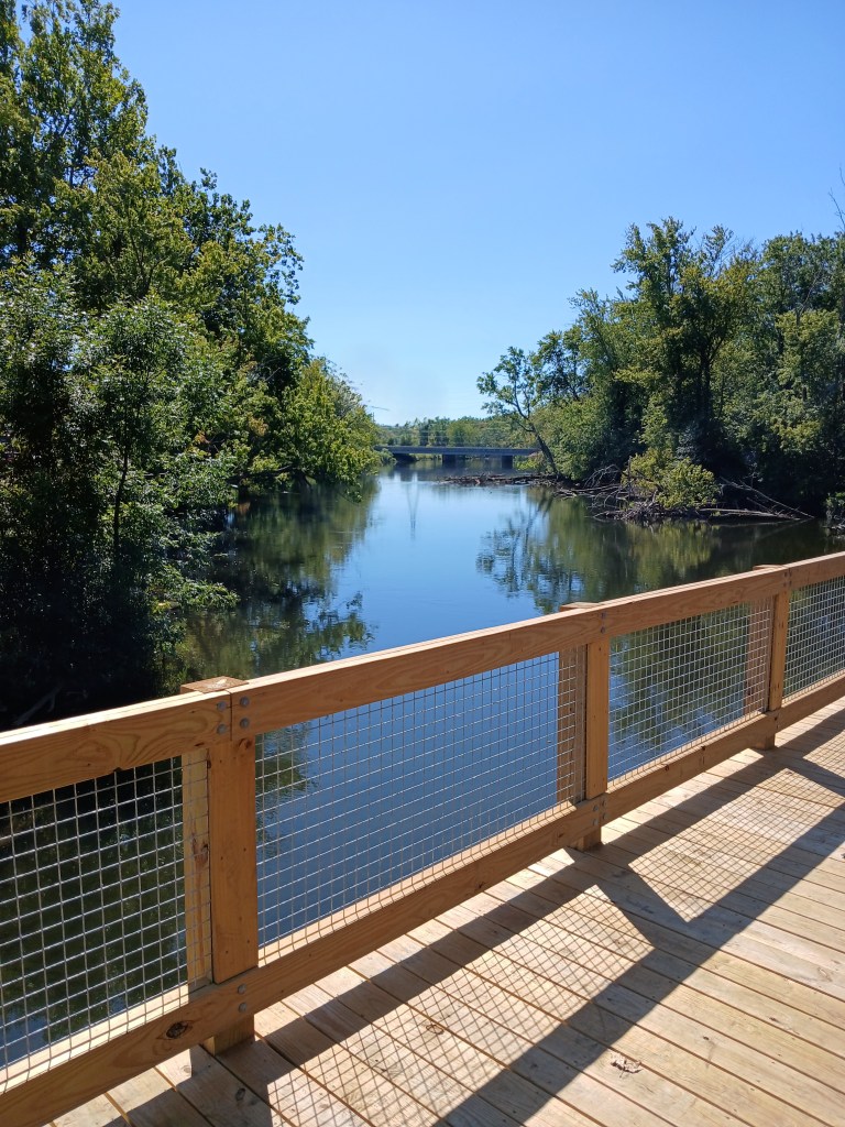
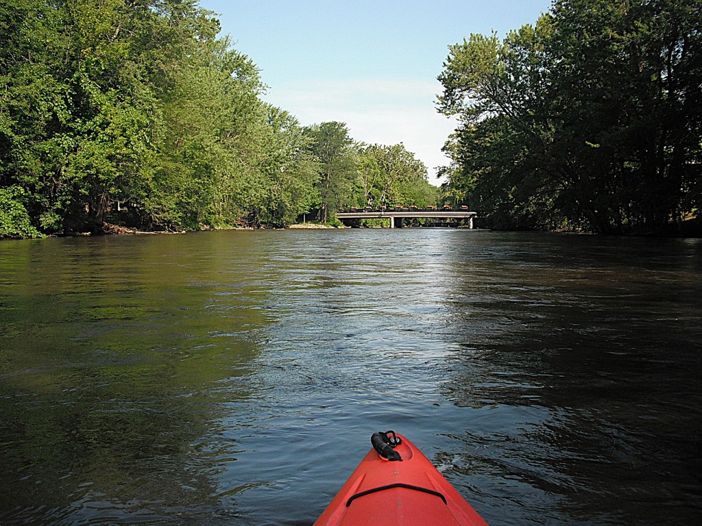
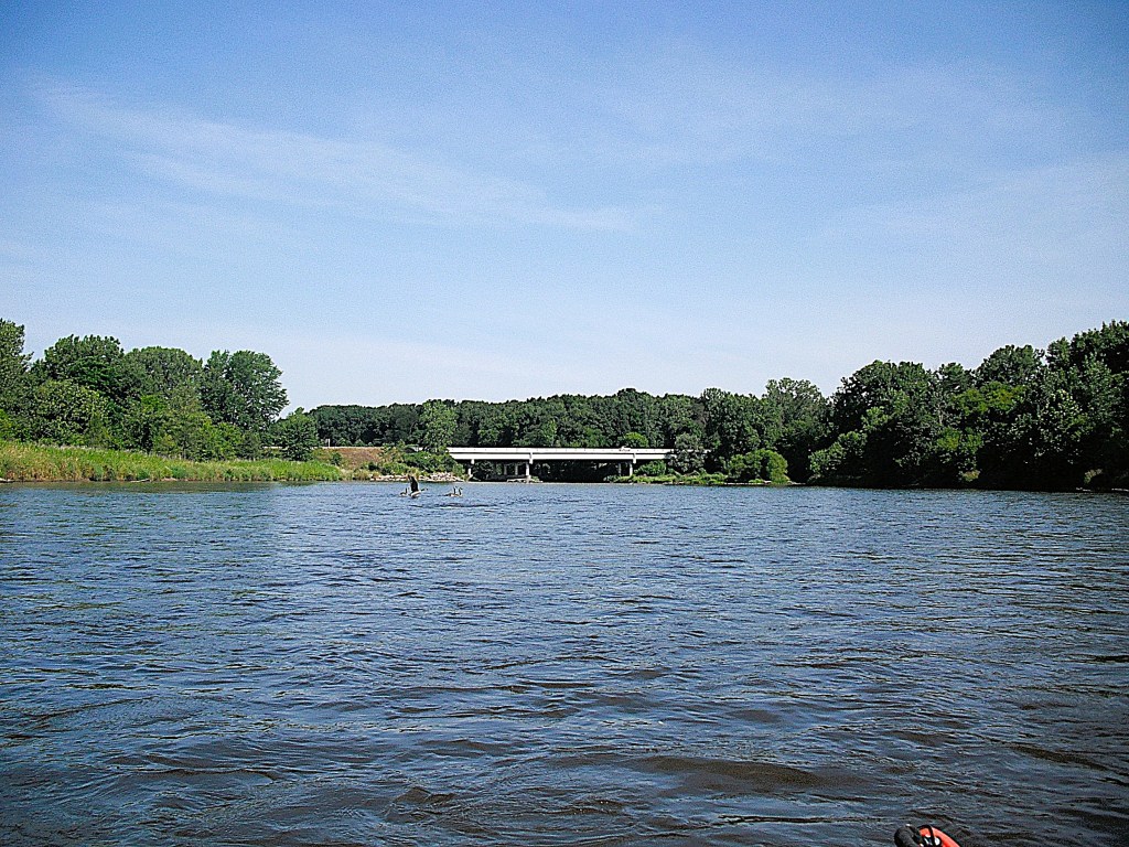
The trip ends just downstream from the Mosel Avenue bridge in the city of Parchment. The access is River Front Park, on the east side of the river, just upstream from the railroad bridge. The linear park lies between the river and Commerce Lane. Several years after I took this trip, the railroad bridge was removed. Part of the old bridge is now a deck. Concrete steps lead down to the river, upstream from the deck. This photo views the Mosel Avenue bridge from the park deck.