RIVER FRONT PARK TO D AVENUE
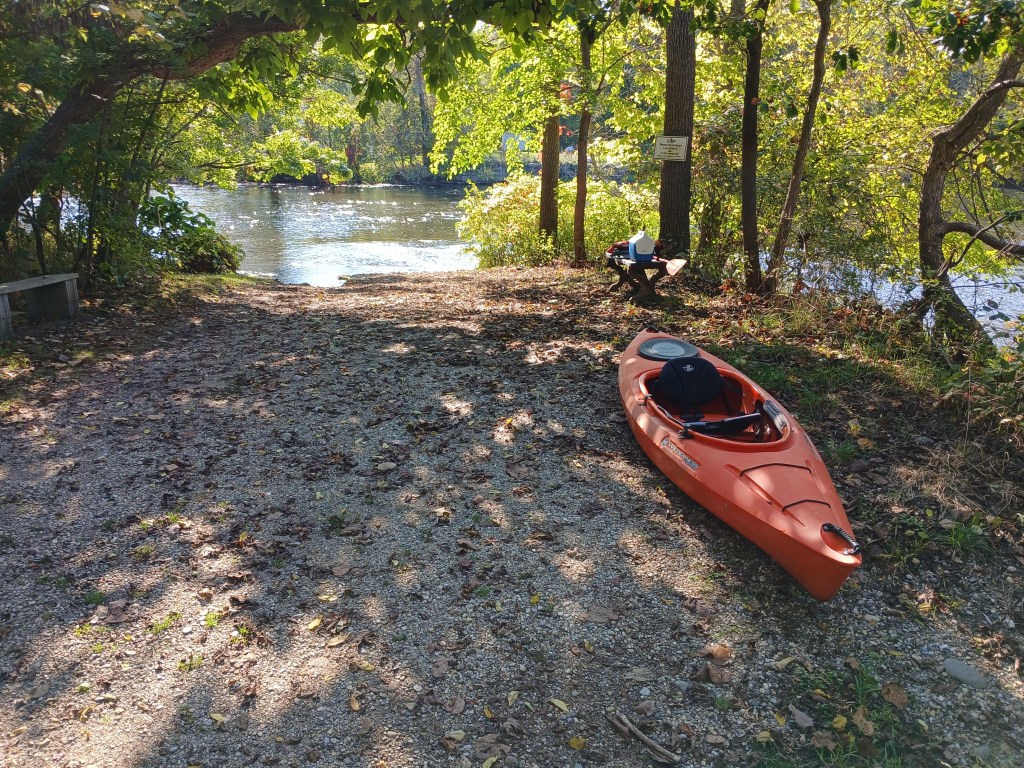
River Front Park is a small linear park between the Kalamazoo River and Commerce Lane in Parchment. On the north end of the park, steps and a boat slide lead down a small hill to the river’s edge. A deck overlooks the river next to the boat landing. Parking is on the side of the road. No restrooms.
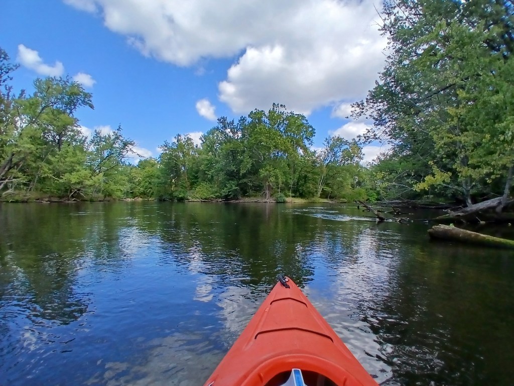
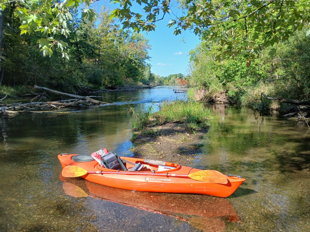
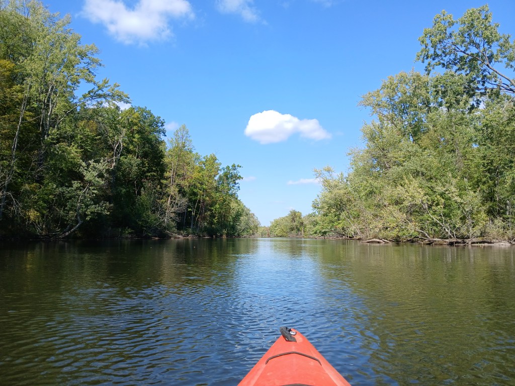
This trip is suitable for all skill levels. The river is wide with a sand and gravel bottom. The current varies between slow and moderate. The depth ranges from a foot deep to over six feet deep. The last time I kayaked this stretch of the Kalamazoo River was in late September of 2025. Water levels were extremely low.
Downstream from the landing, around a couple of bends, the old Hercules plant is on the right riverbank. Just past the factory, a railroad bridge spans the river.
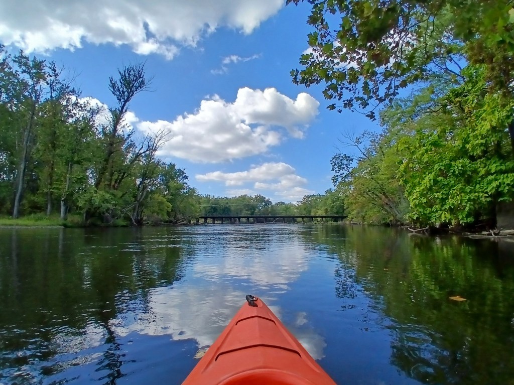
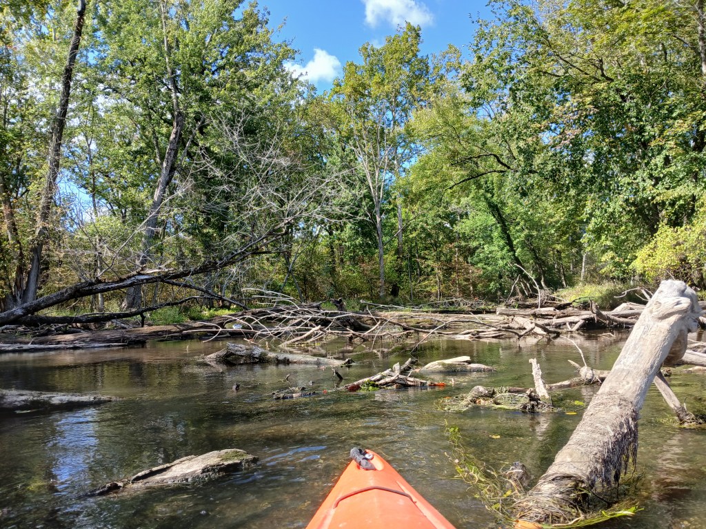
The current pushes trees and tree limbs against the bridge supports, forming logjams. I found two open passages under the bridge. The rest were blocked. Maybe more will be open when you make your trip. It’s quite possible that you might have to portage.
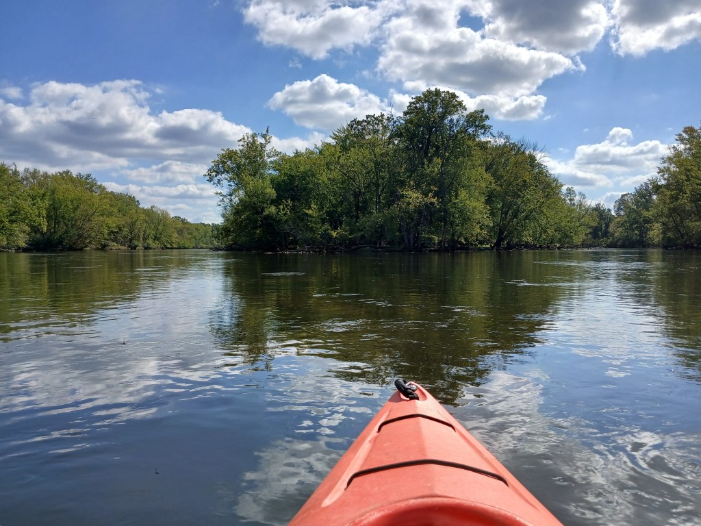
After a long straight stretch, the river splits in two around the 0.4 mile long Glenn Allen Island, a nature preserve.
Both channels around the island are navigable.
I arbitrarily chose the west channel.
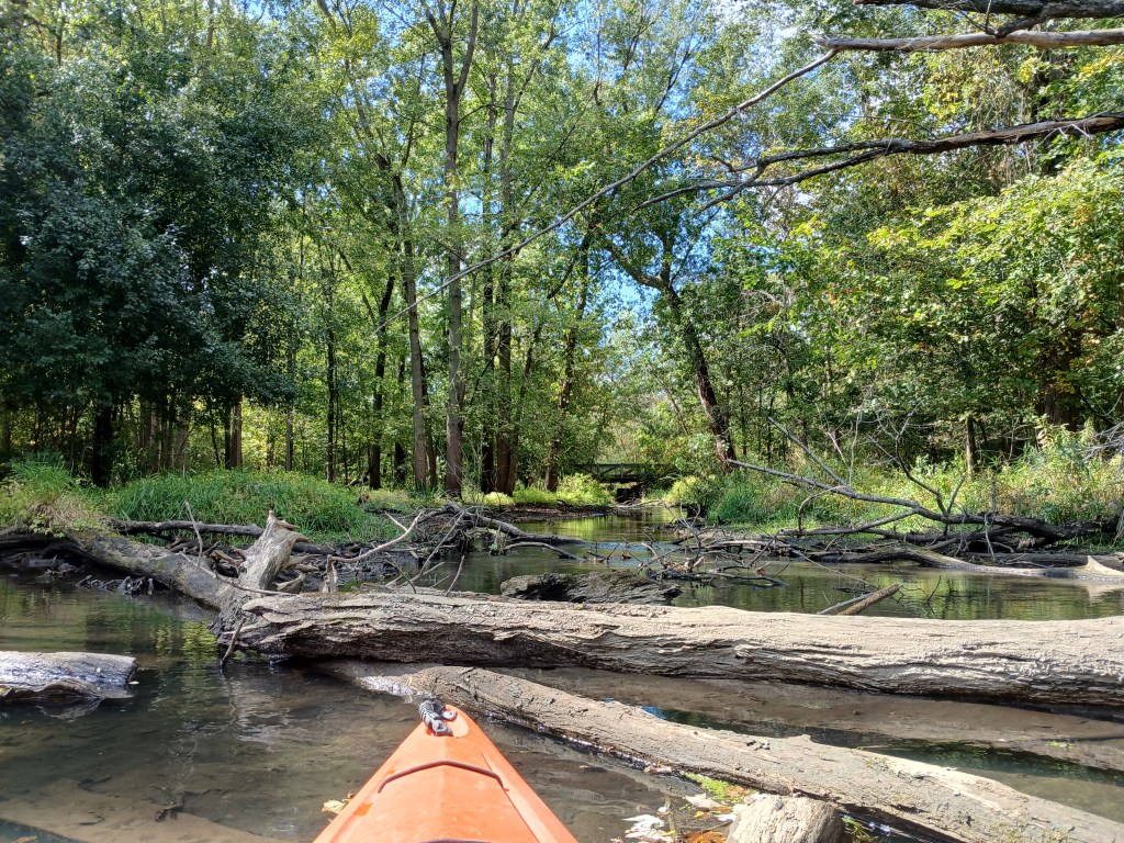
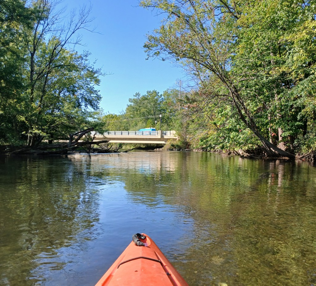
The West Street Drain flows into the west channel. Back in the day, the drain was home for brook trout. The bridge in the center of the photo is for the Kalamazoo River Valley Trail.
A look upstream at the north end of Glenn Allen Island:
Islands are always fun to paddle around and explore.
A shell bar alongside an island provided a nice spot for a break. Shoals made of small mussel shells are quite common on some parts of the Kalamazoo River.
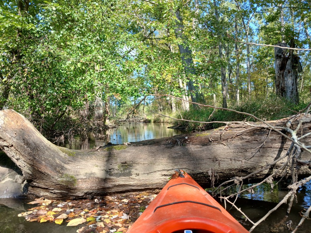
Passage around some of the islands was impossible.
Spring Brook (trout stream) flows into the river from the east.

The Kalamazoo Nature Center features 1100 acres with plenty of hiking trails and a deck overlooking the river.
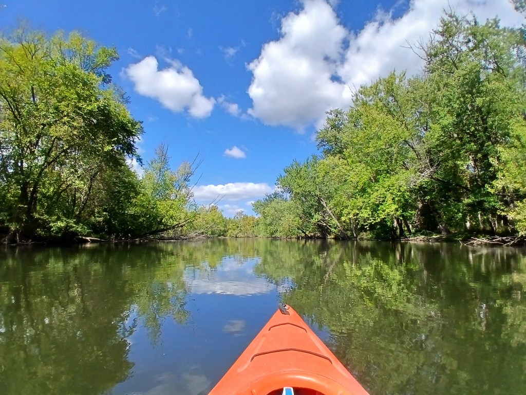
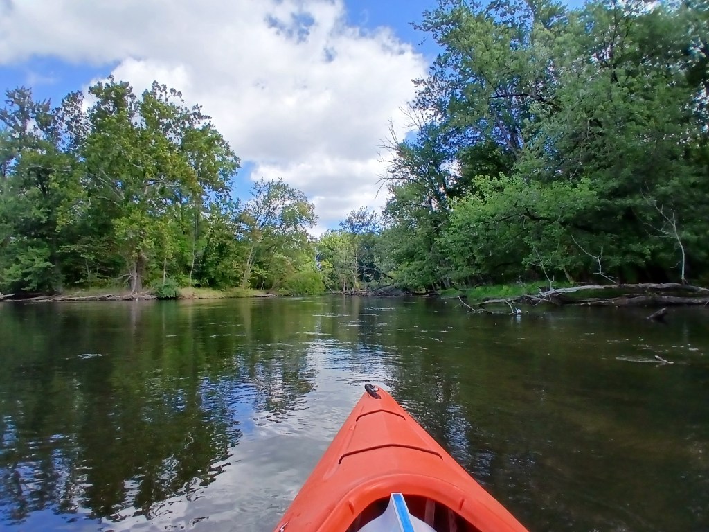
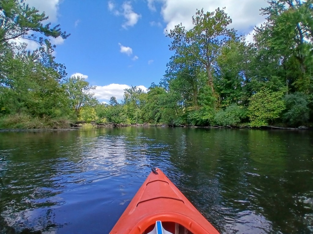
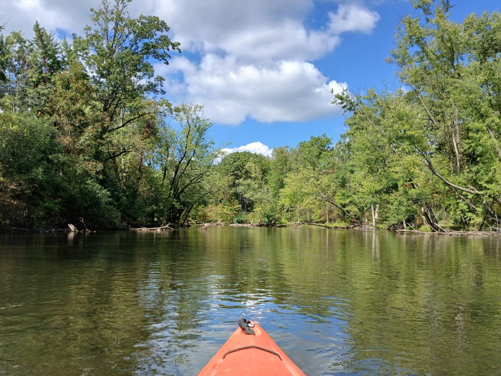
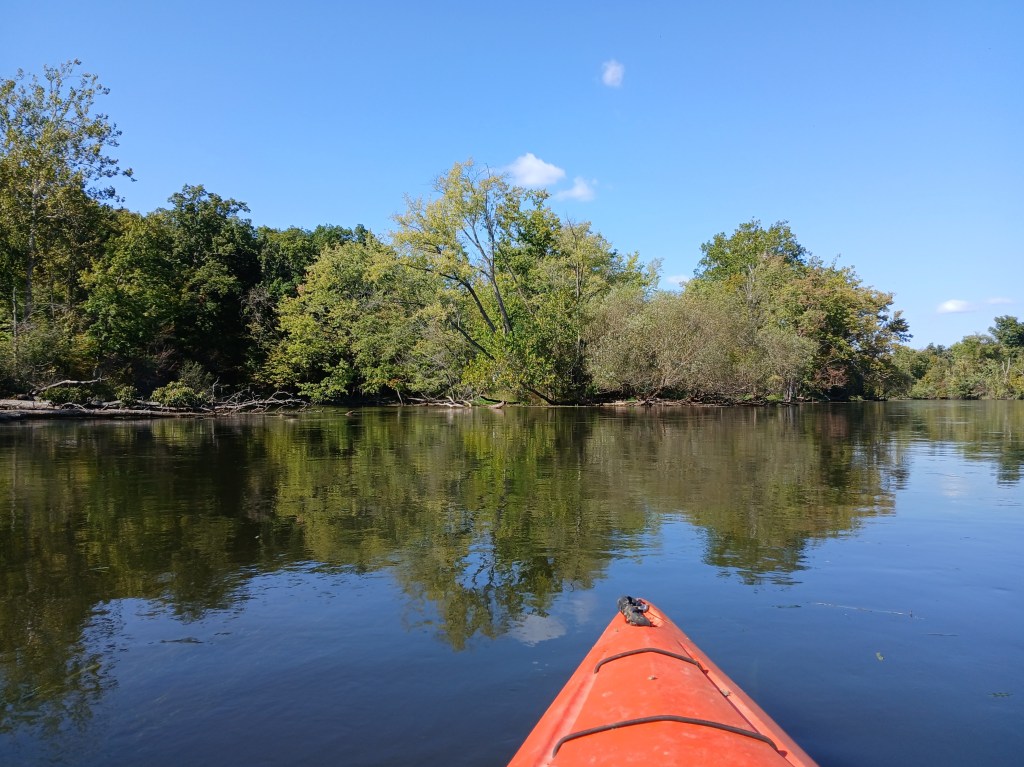
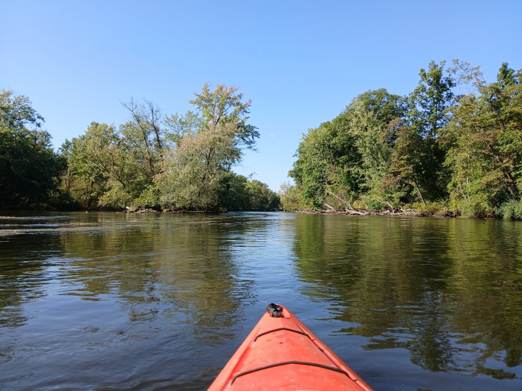
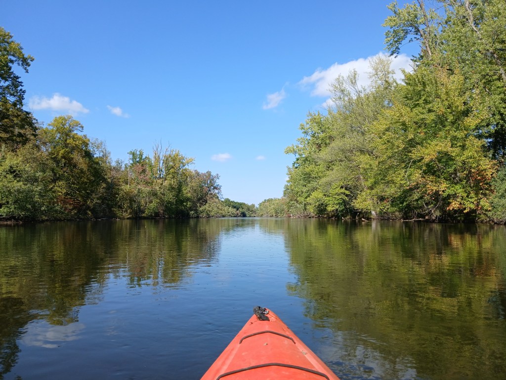
The river flows through the wooded countryside with long straightaways in between gentle curves.
At the end of the trip, two islands that appear as one island are immediately upstream from the D Avenue bridge.
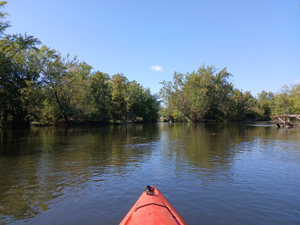
I recommend taking the east (right) channel around the islands. The current is a bit faster around the islands and down river to the landing.
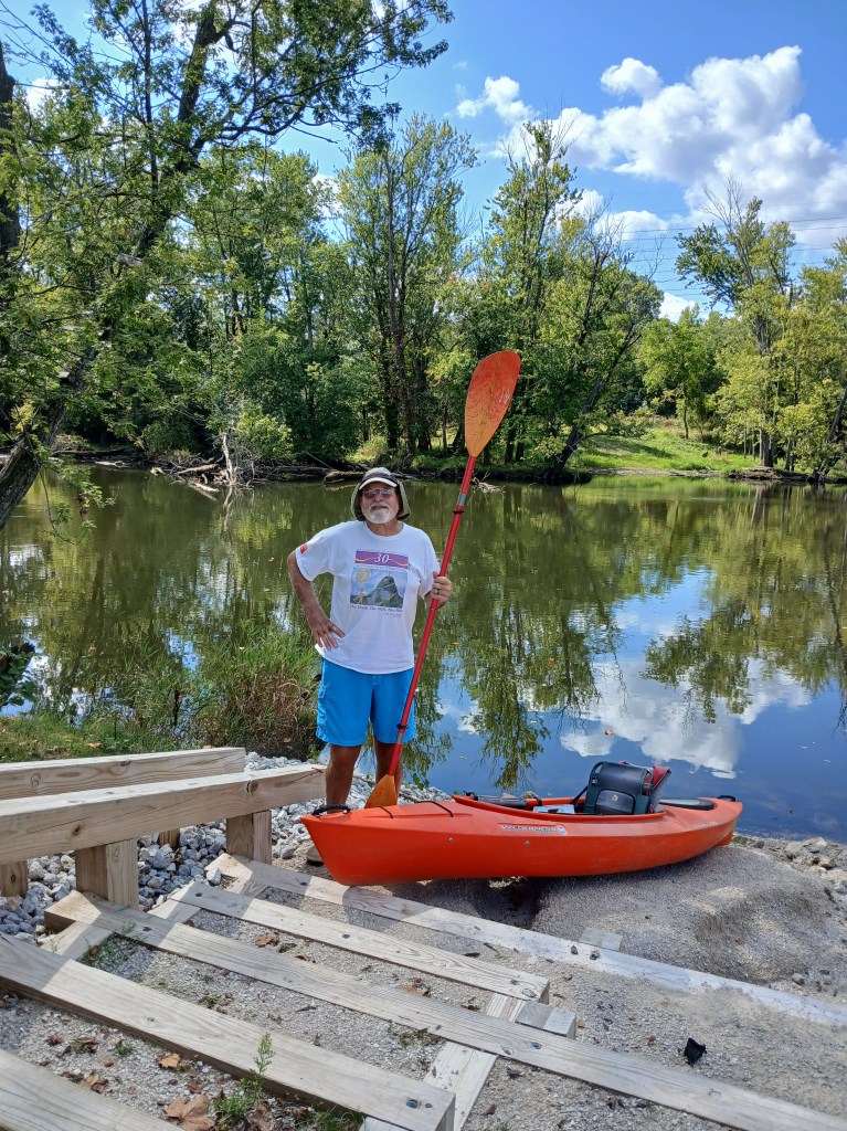
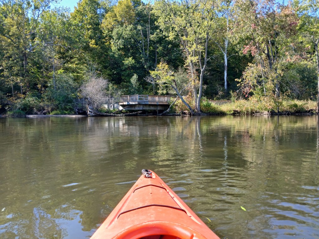
The boat landing is on the east side of the river, 300 feet downstream from the bridge. No restrooms.
This access is on private property. The property owners have been allowing access to the river for many years. Their kindness and generosity toward boaters and anglers allows everyone to enjoy this scenic river. Please respect their property. Fees are one dollar per boat and one dollar per vehicle. There is a collection box on a small deck at the rear of the home, by the garage. Fees are subject to change.