LAKE ALLEGAN, ALLEGAN COUNTY

In early summer of 2021, I kayaked a stretch of the Kalamazoo River with my friends, Dan and Tyler. We traveled the river from Allegan City Dam to Echo Point on Lake Allegan. It looked like Lake Allegan was in need of further exploration, so I set out in mid-July 2021 to check it out.

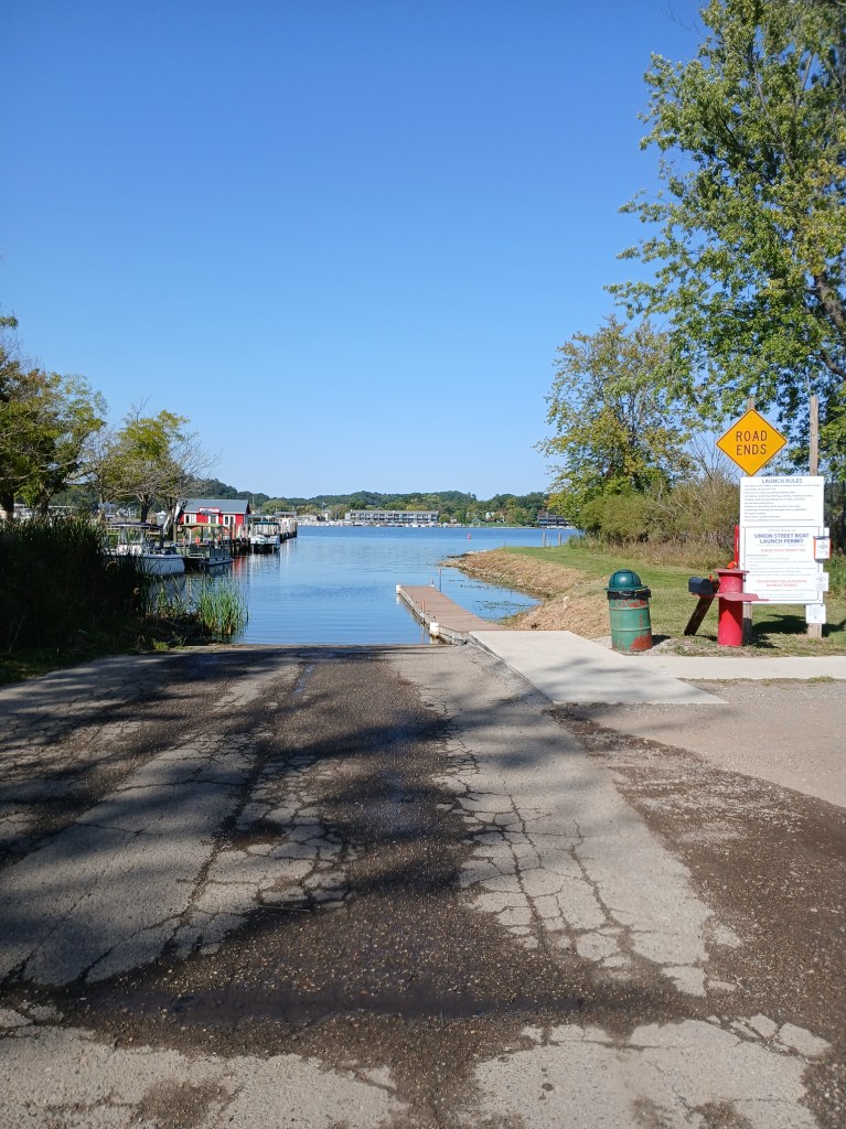
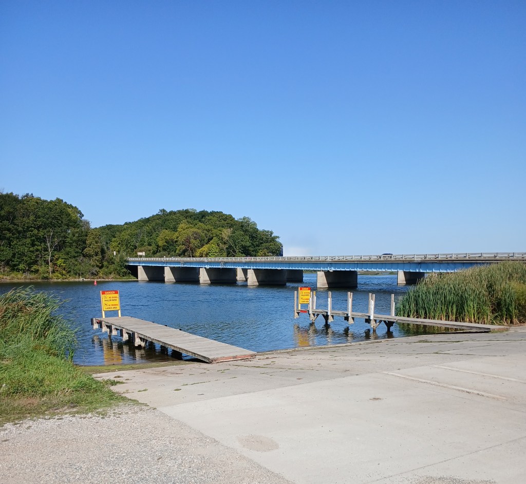
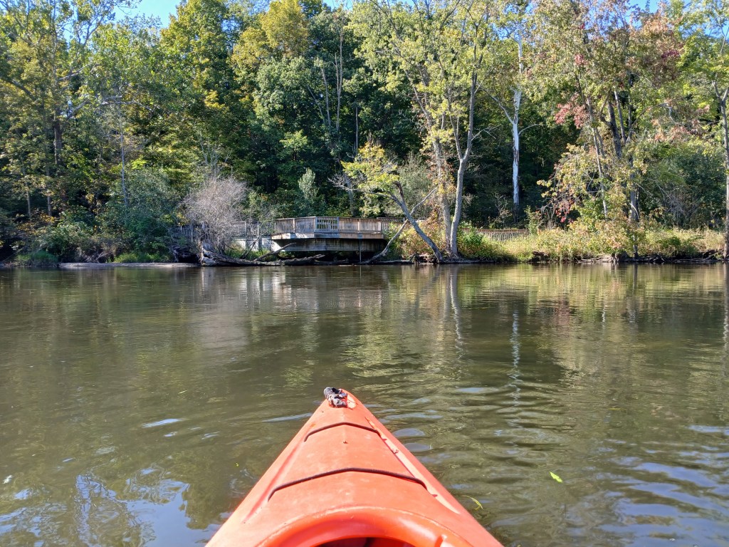
Lake Allegan is an impoundment of the Kalamazoo River. The Calkins dam, commonly referred to as the Allegan Dam, is located on the northwest corner of the lake. Public land borders the lake on each side of the dam. There is a boat landing east of the dam, on Allegan Dam Road.

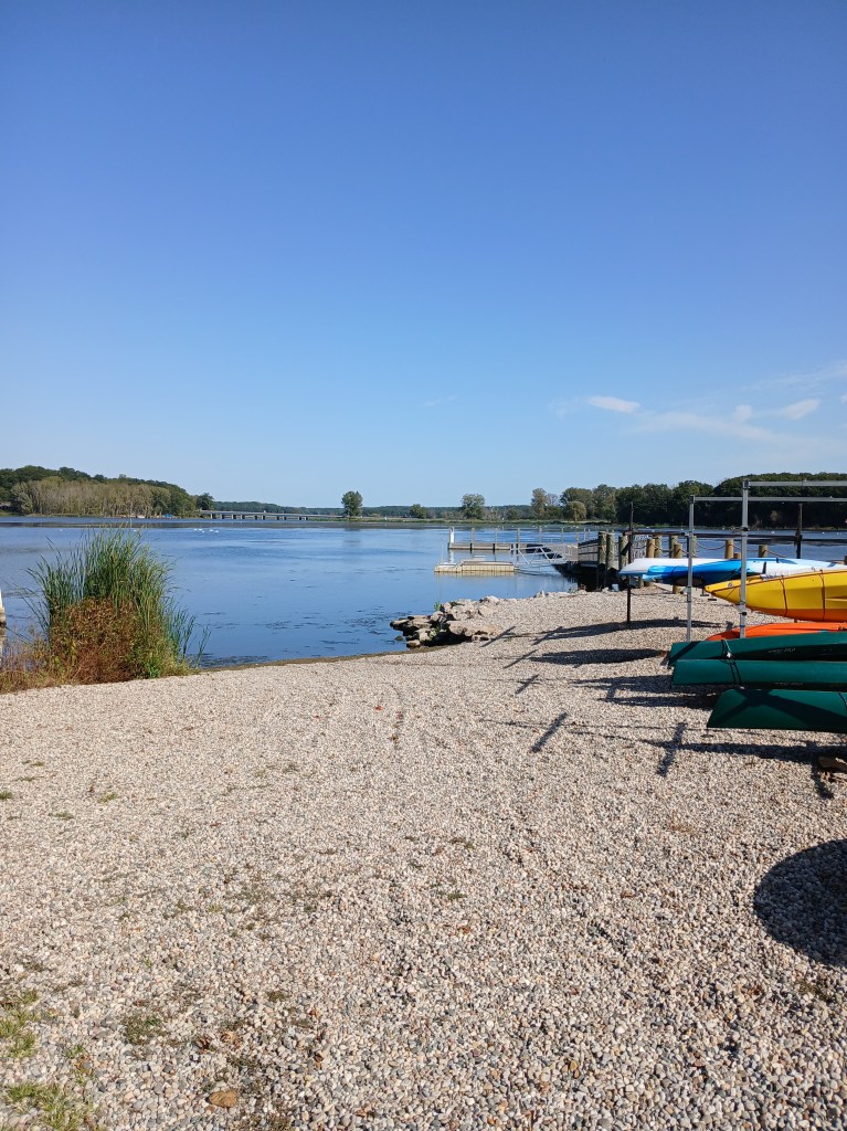
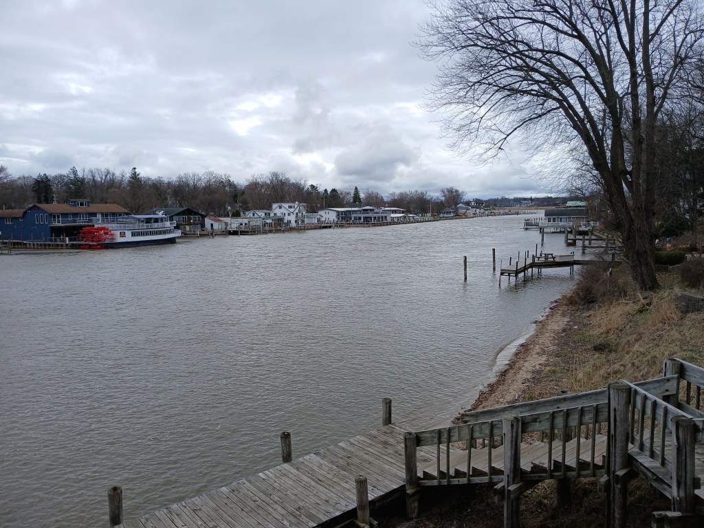
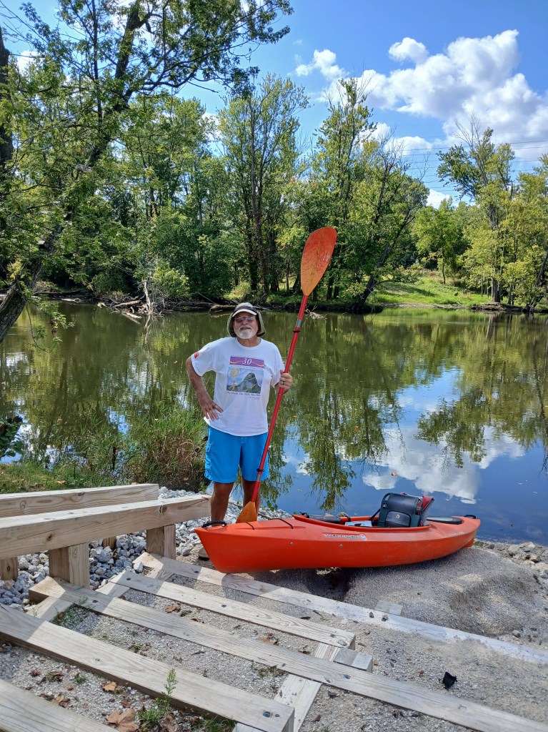
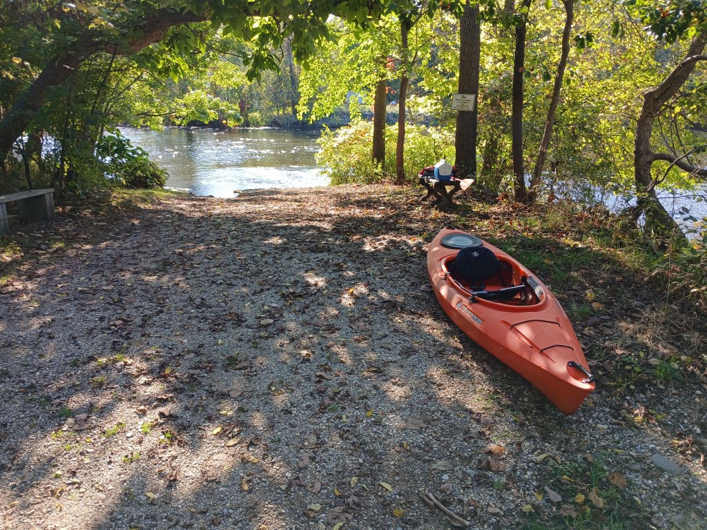
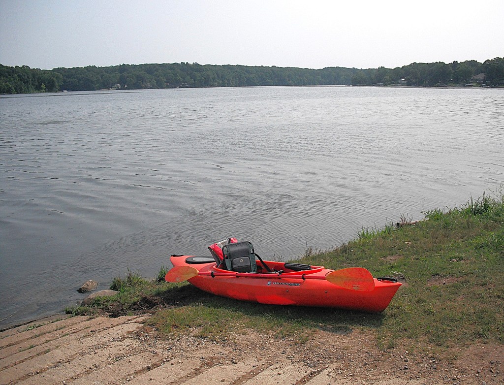
I used the MDNR Echo Point Access Site on the south side of the lake, on Monroe Road, west of the city of Allegan. It is centrally located near places that I wanted to explore. Public land borders the lake on both sides of the boat ramp.

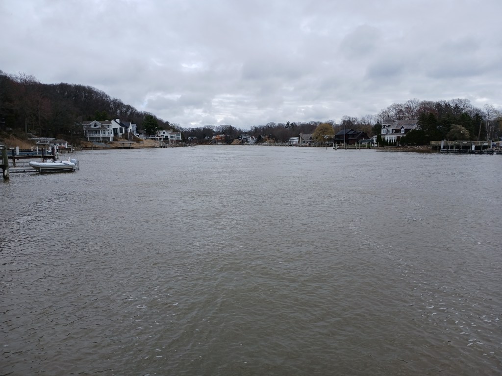
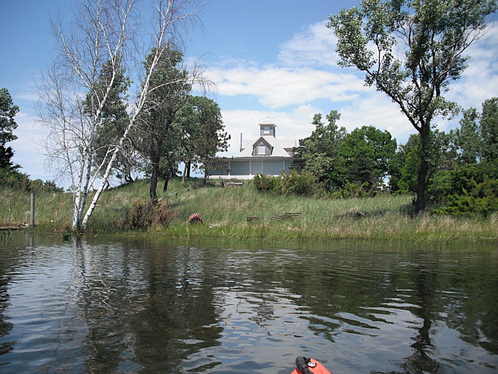
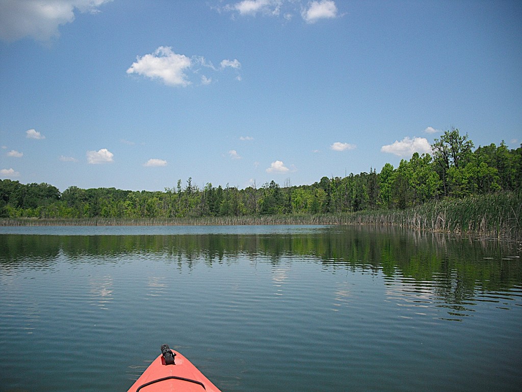
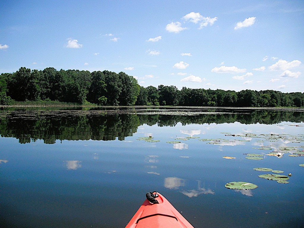
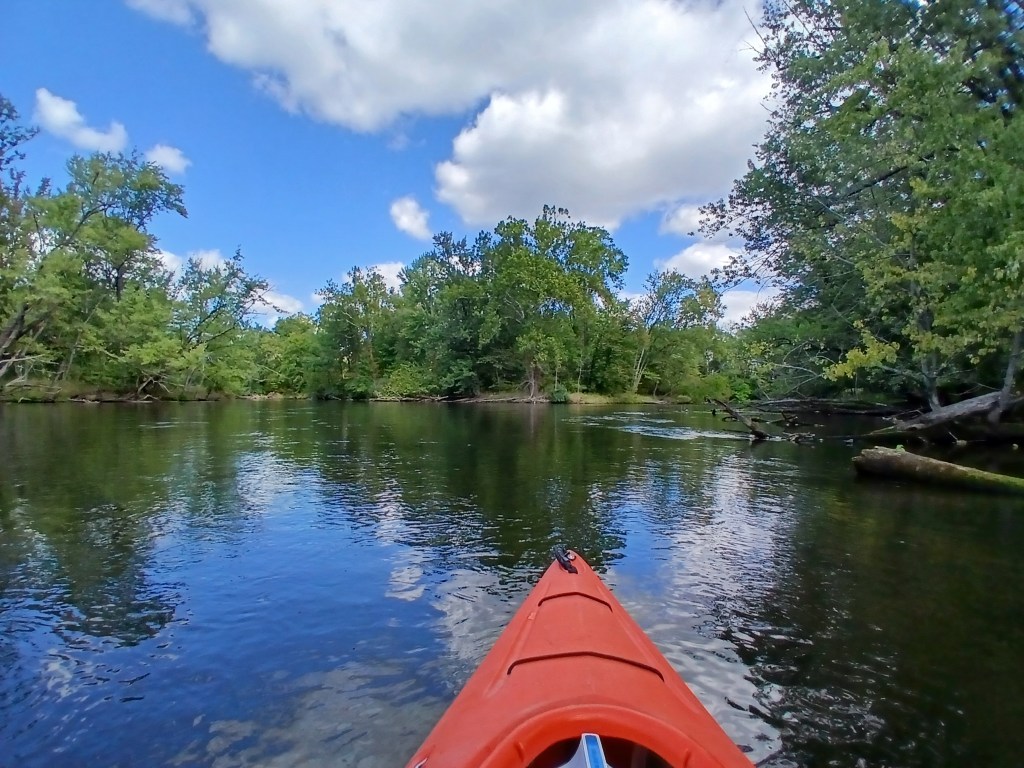
Most of the land bordering Lake Allegan is residential private property. Many of the homes are set back from the water’s edge. Most of the homes are spaced apart from each other. This gives the shoreline a more undeveloped feel. This makes for a pleasant coastline cruise.

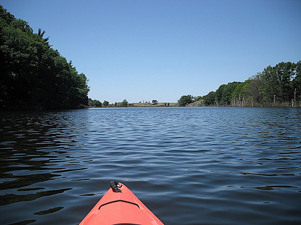
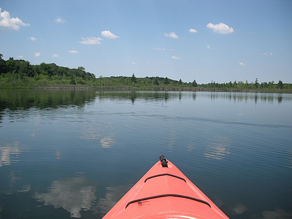
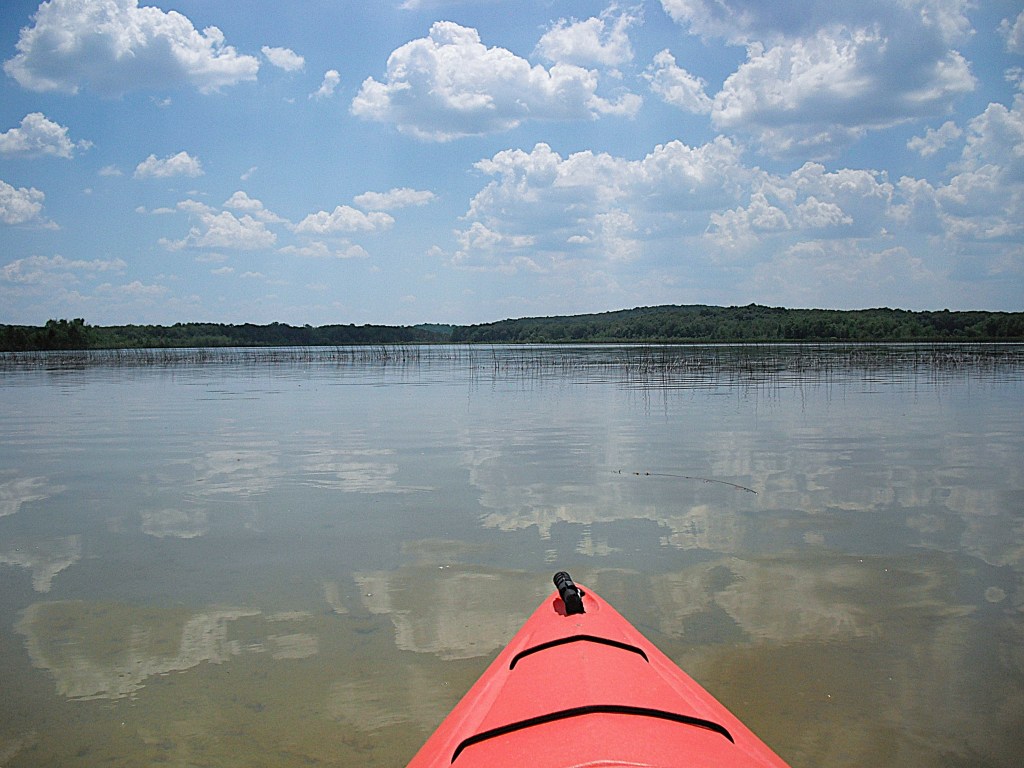
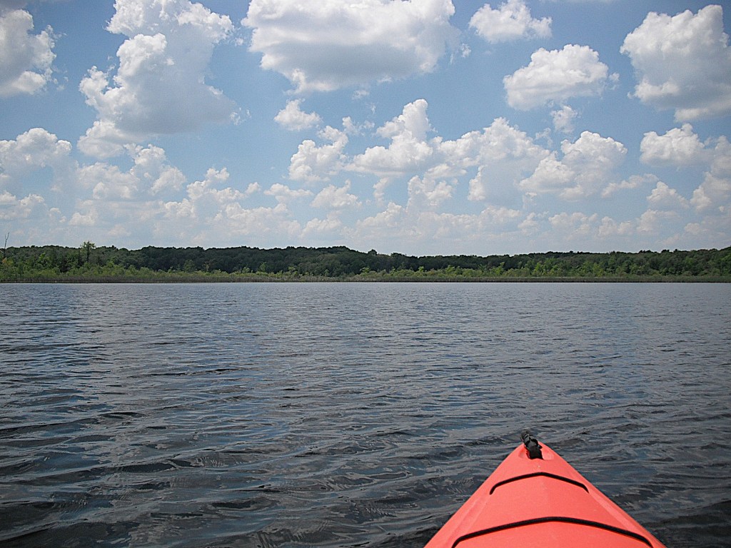
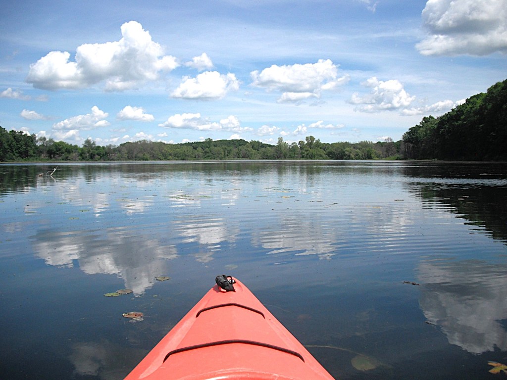
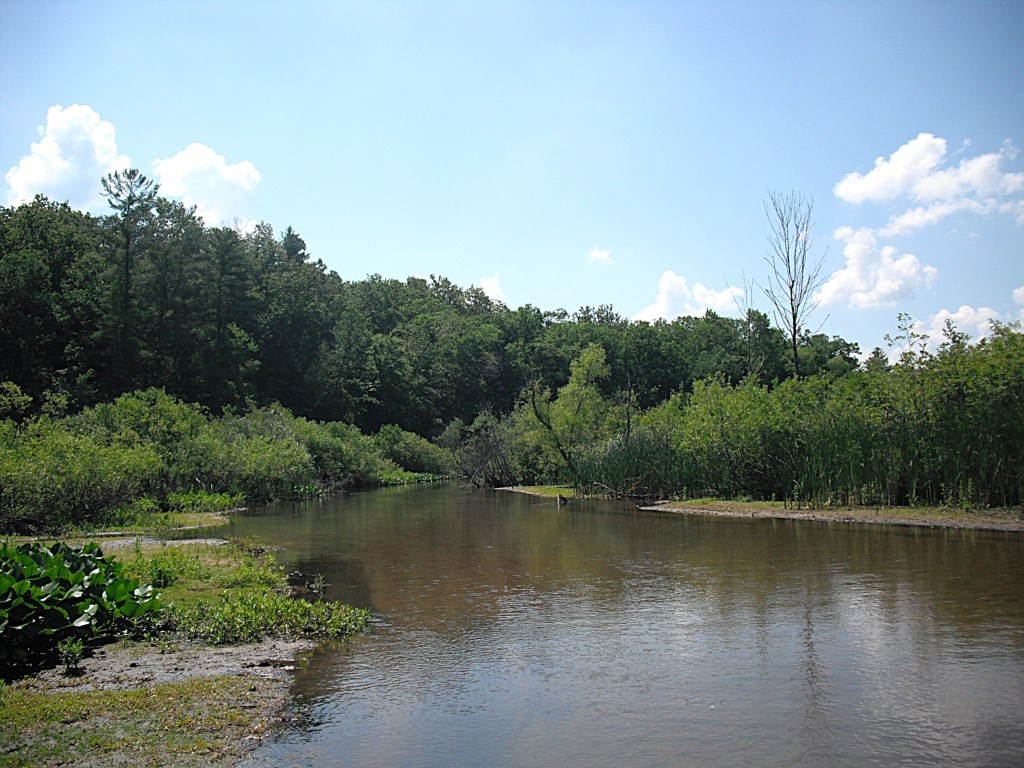
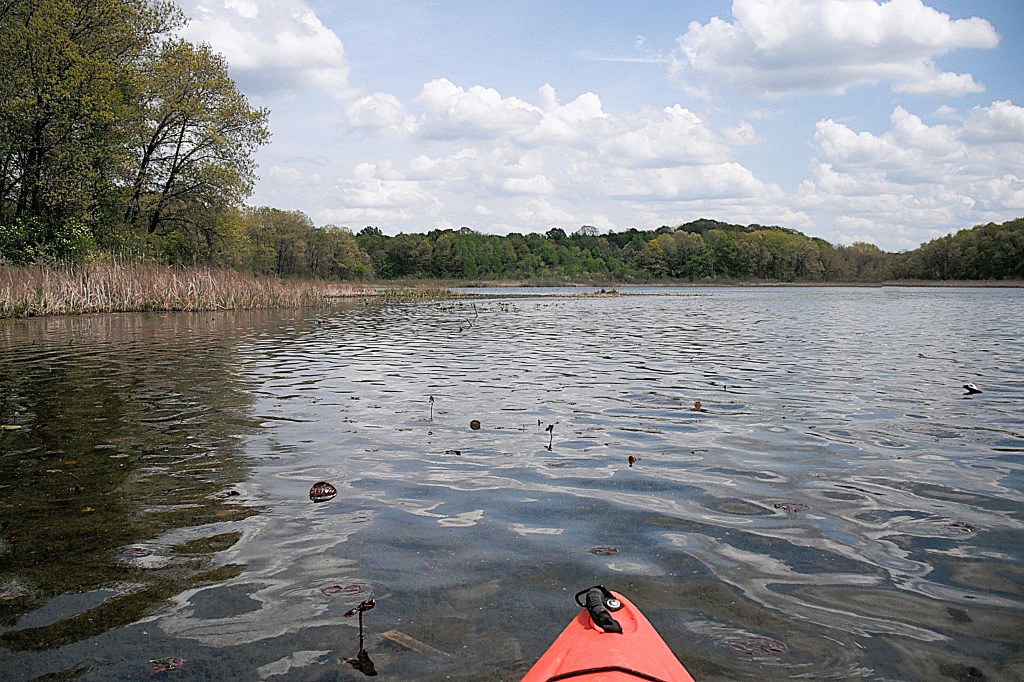
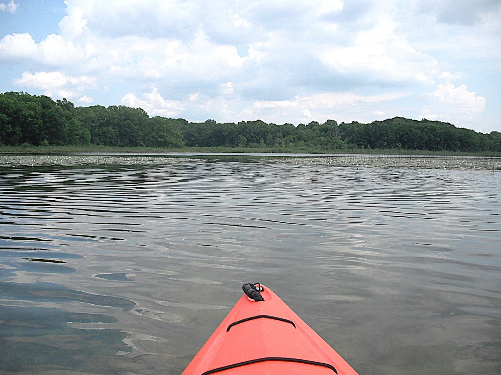
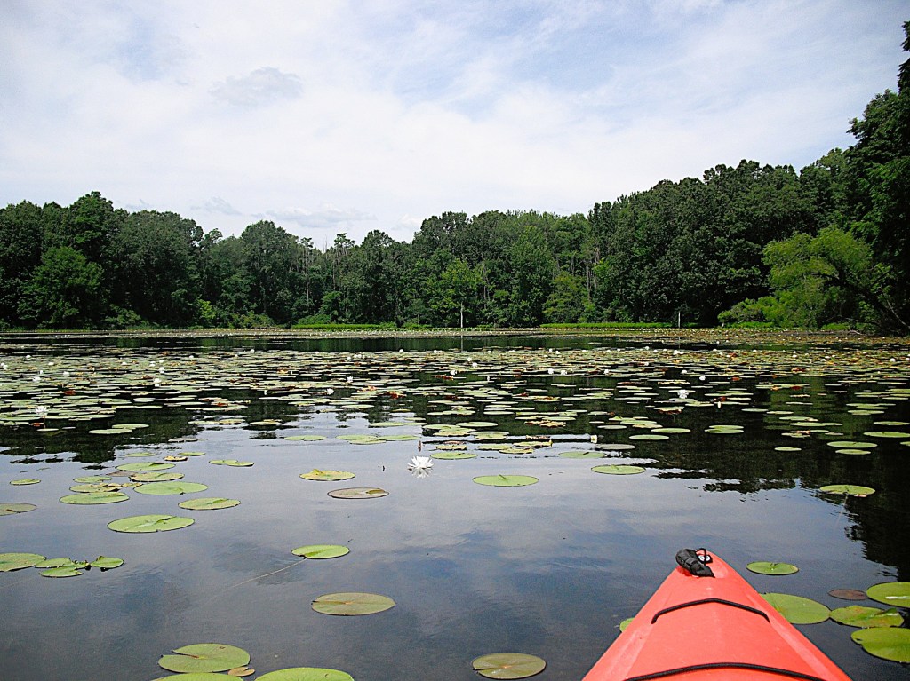
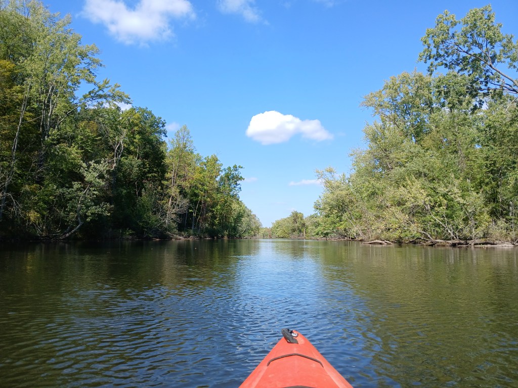
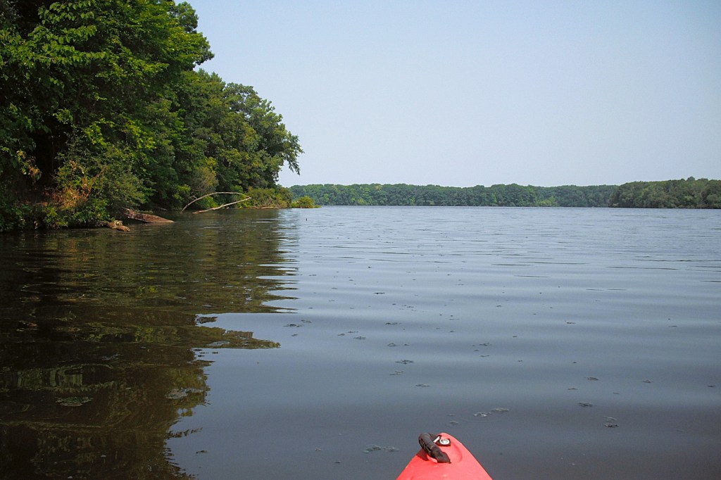
The 1600 acre lake is six miles long, so wind and waves can be a factor when kayaking, especially wind coming from a westerly direction. I kayaked the lake on a weekday and there was no boat traffic.

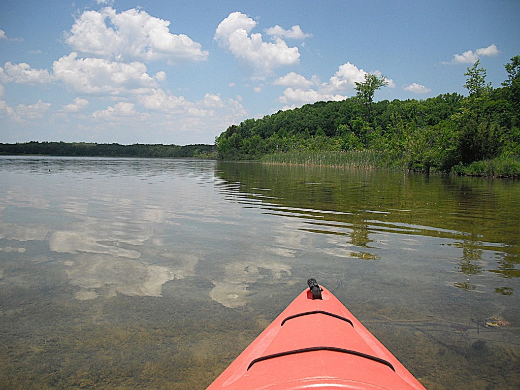
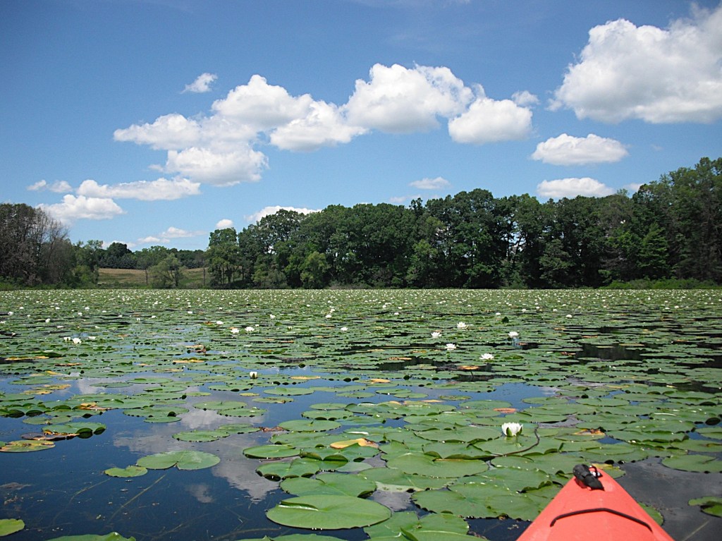
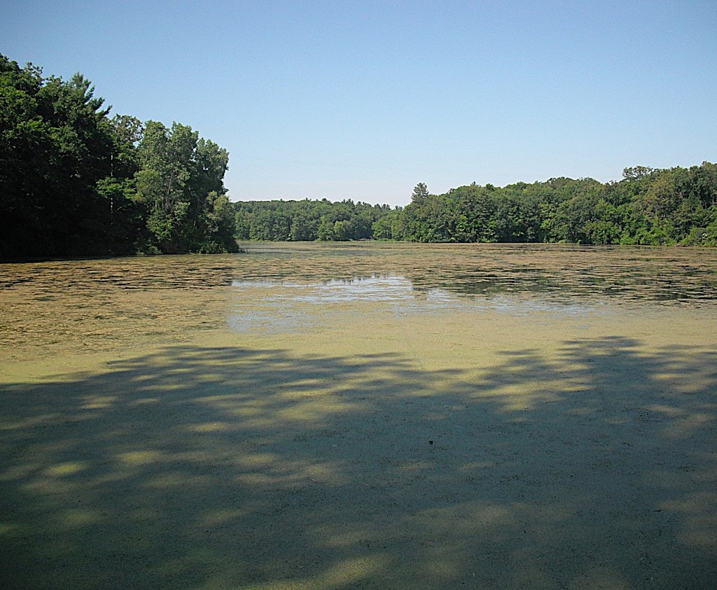
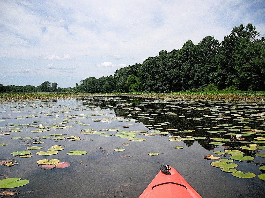
Some kayakers may not like Lake Allegan because of the poor water quality. The water looked dirty and sub-surface visibility is limited to less than three feet. Some portions of the lake were partly covered with small pieces of floating organic goop. In other words, don’t plan on going for a swim. The lake had no odor other than the usual “lake smell” that you get from all waters. I found that the water quality was a very minor distraction and it didn’t detract from my enjoyment of the lake.

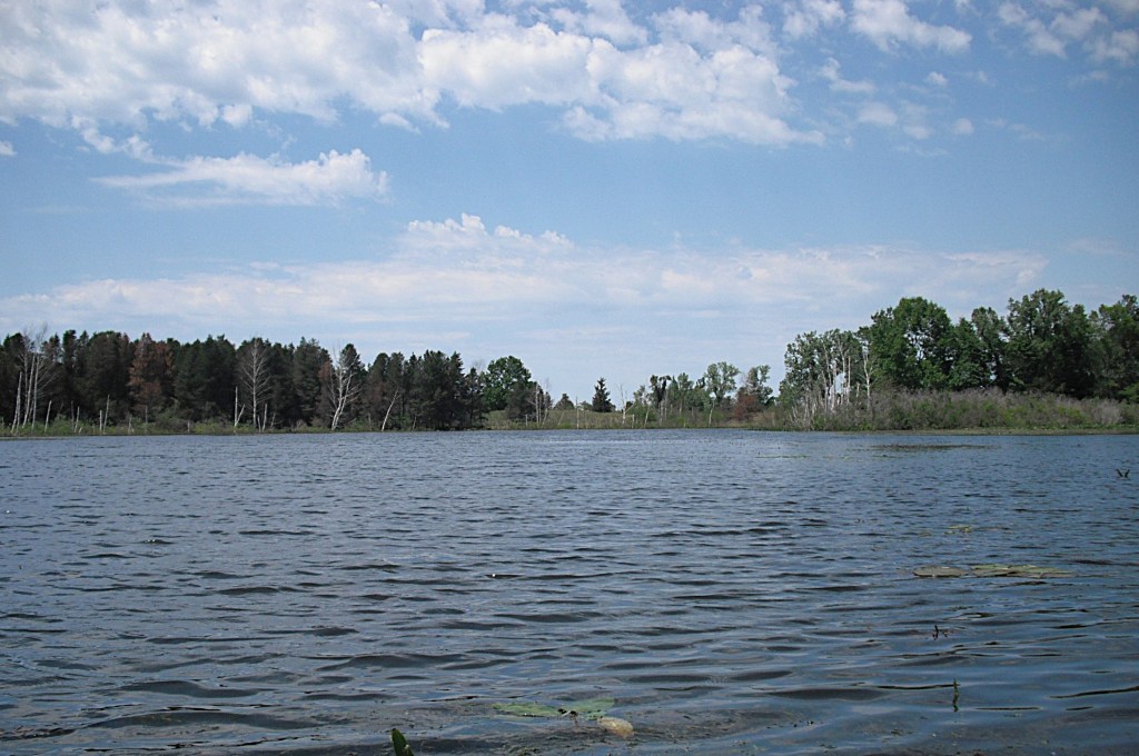
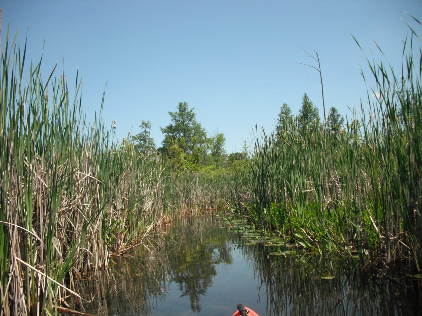
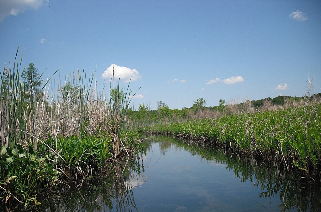
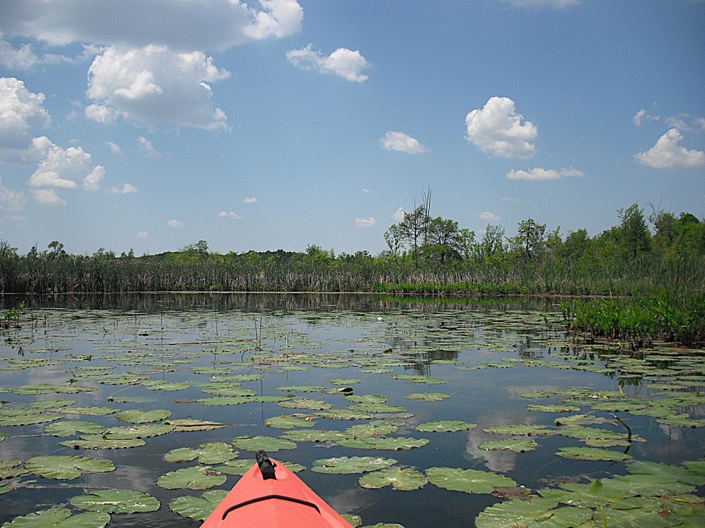
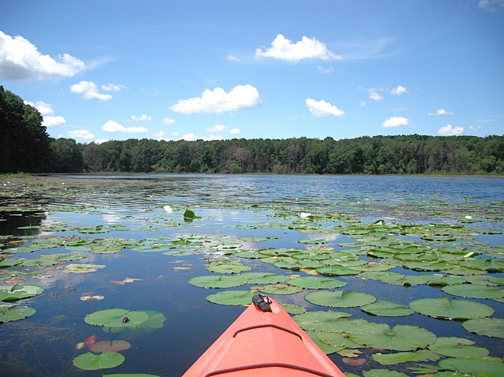
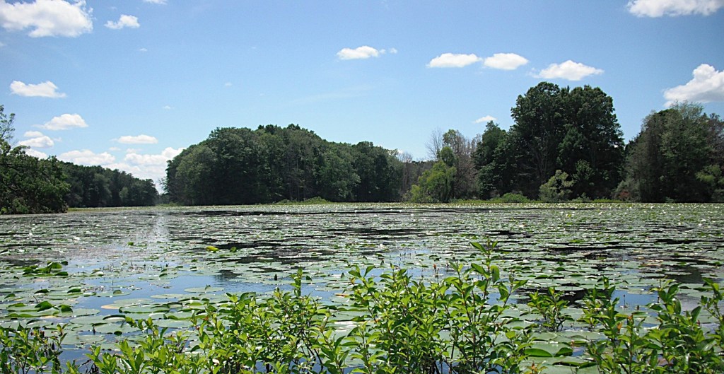
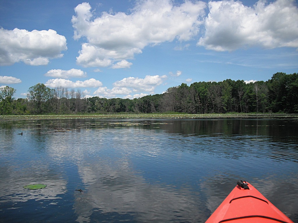
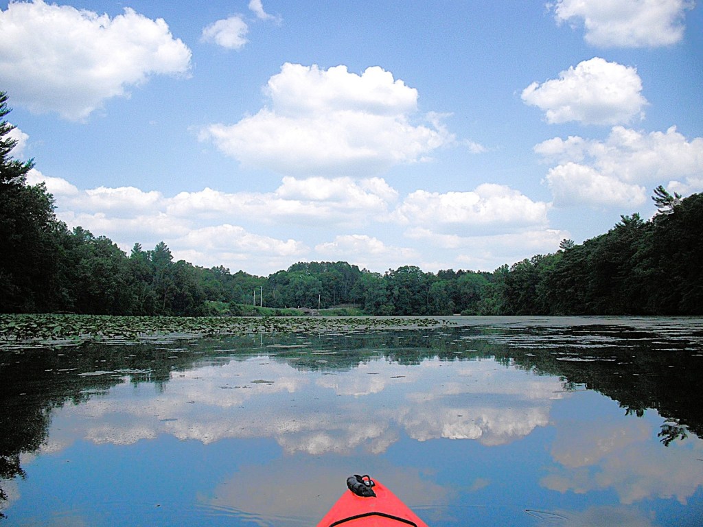
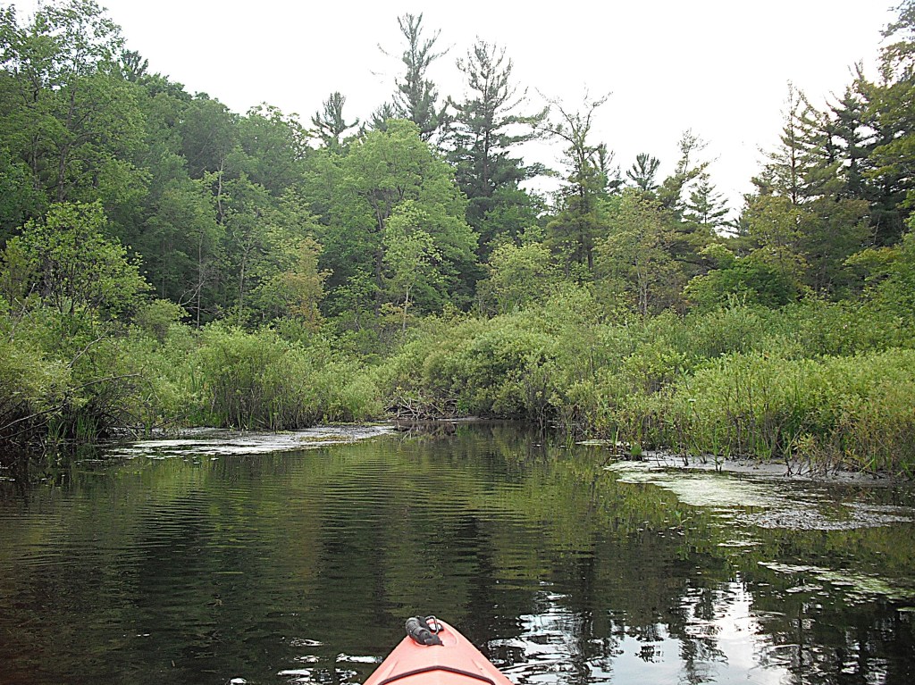
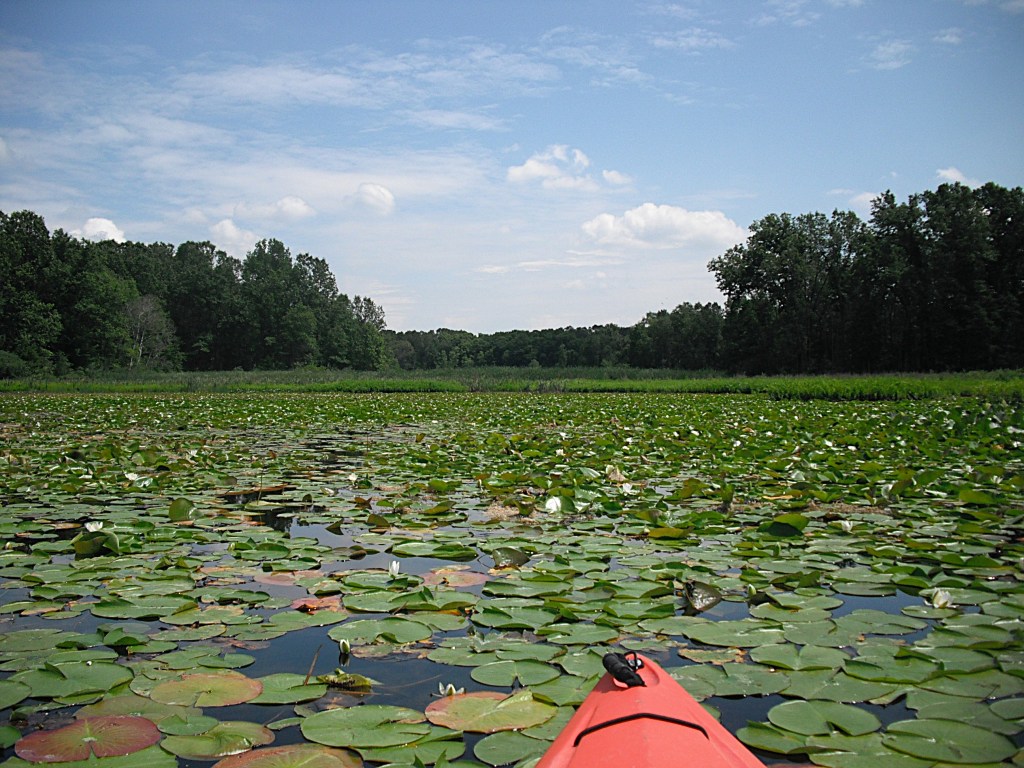
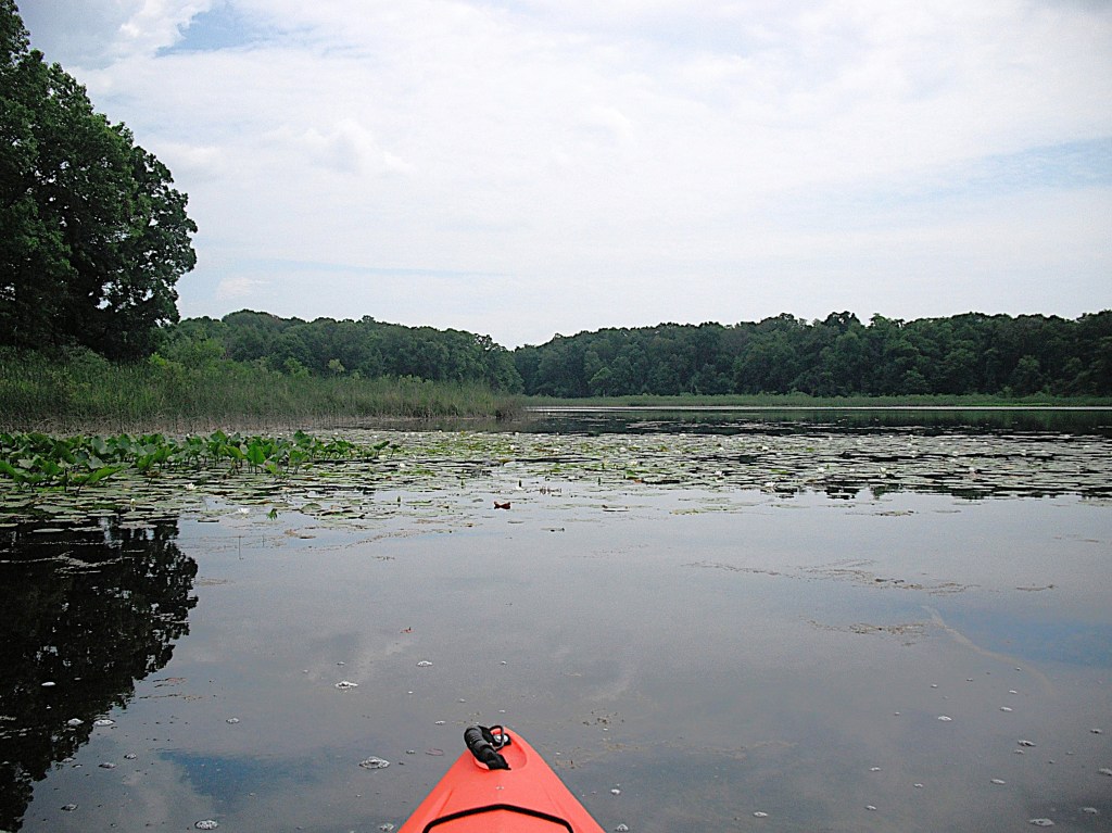
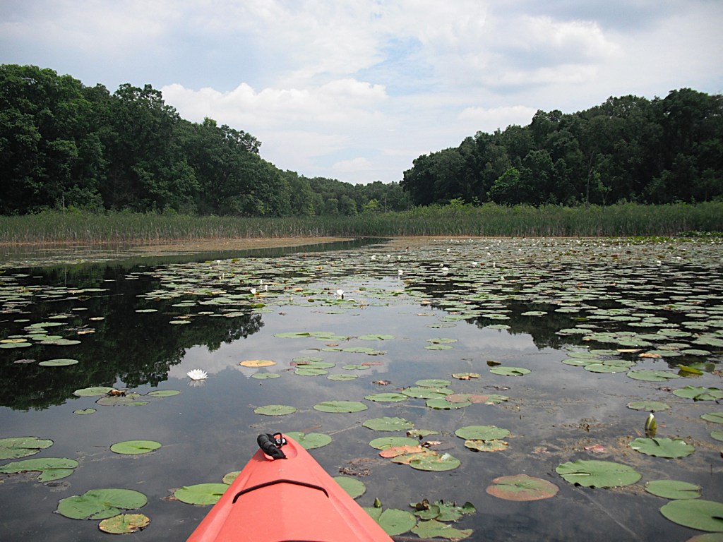
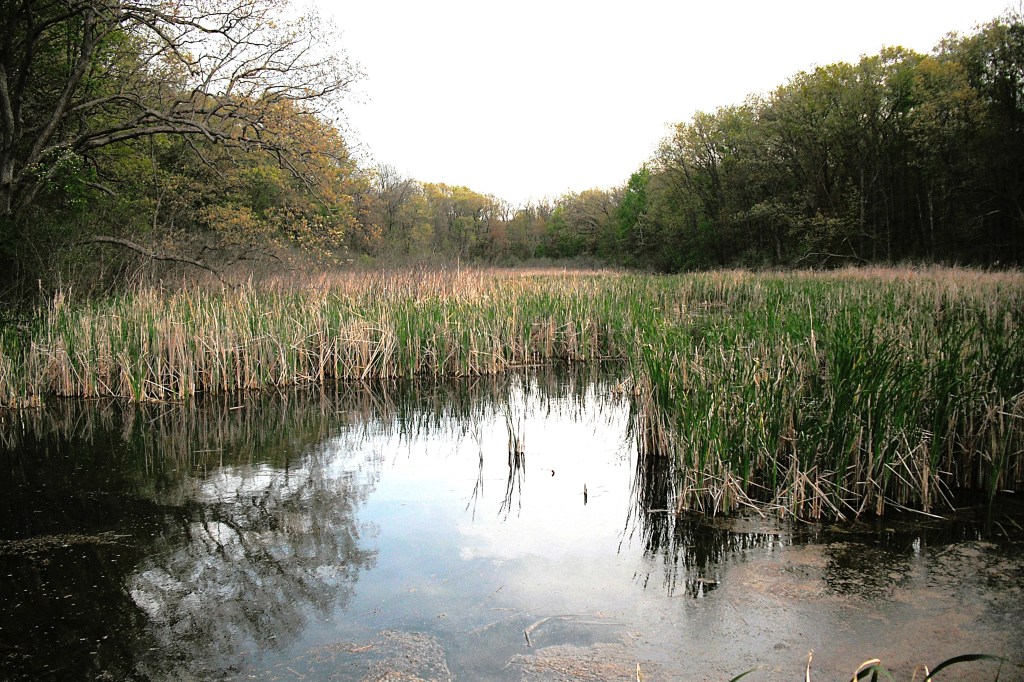
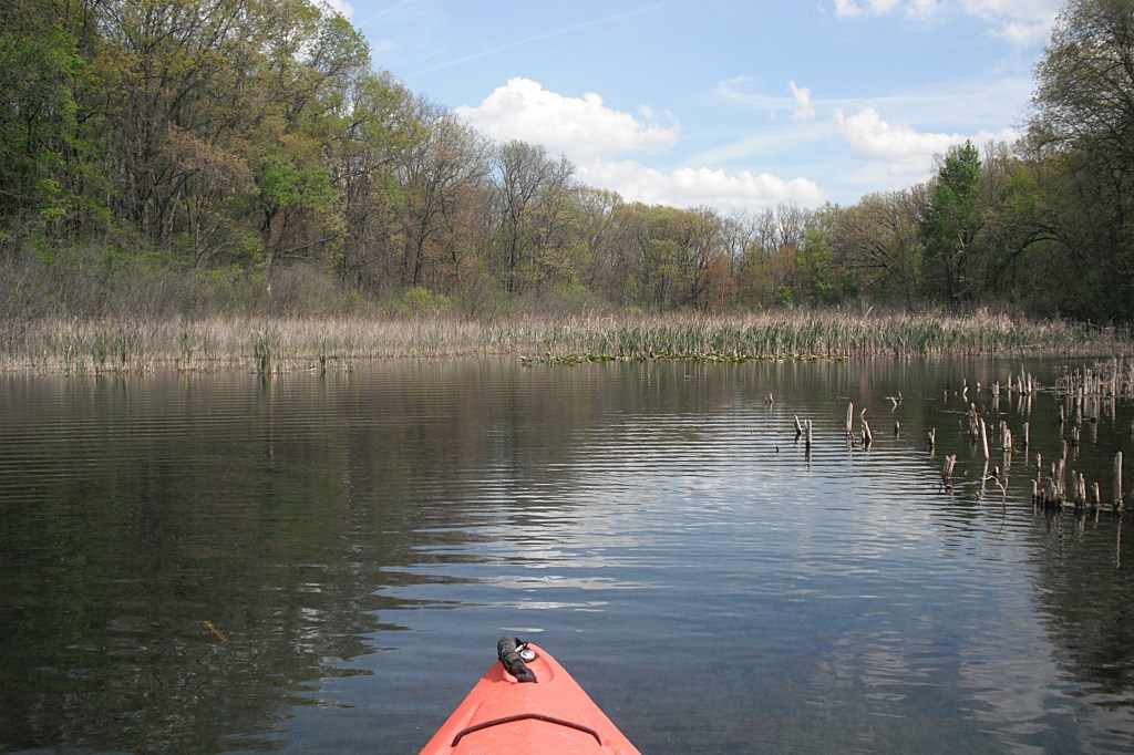
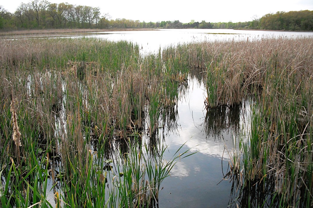
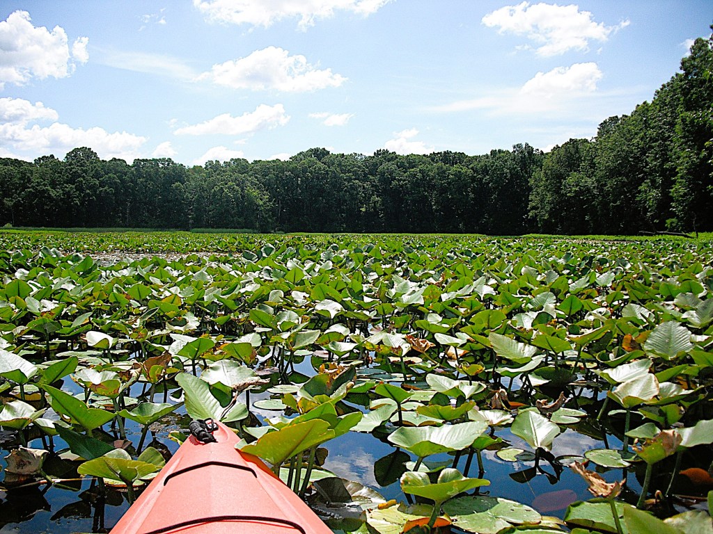
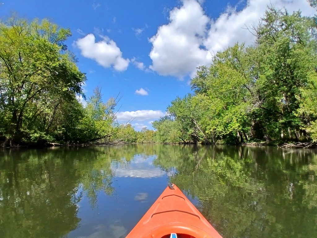
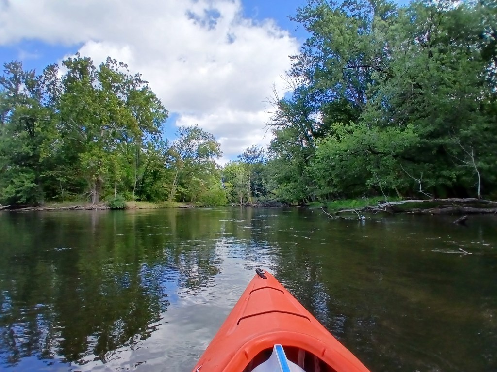
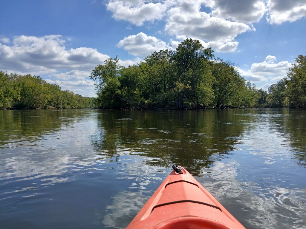
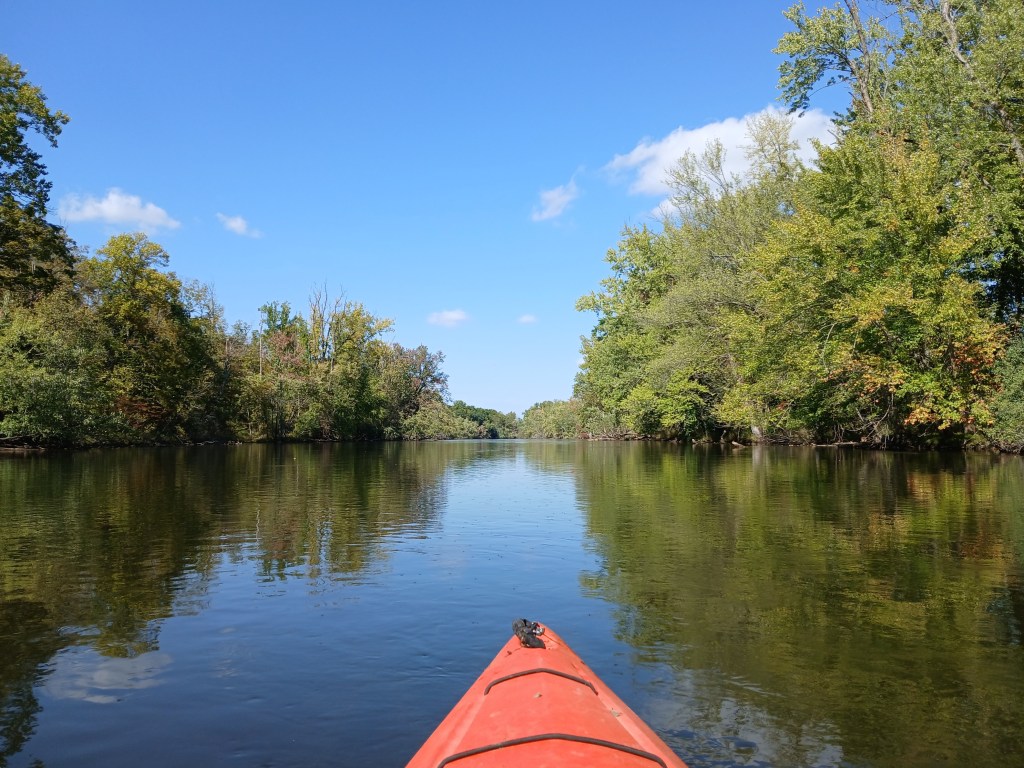
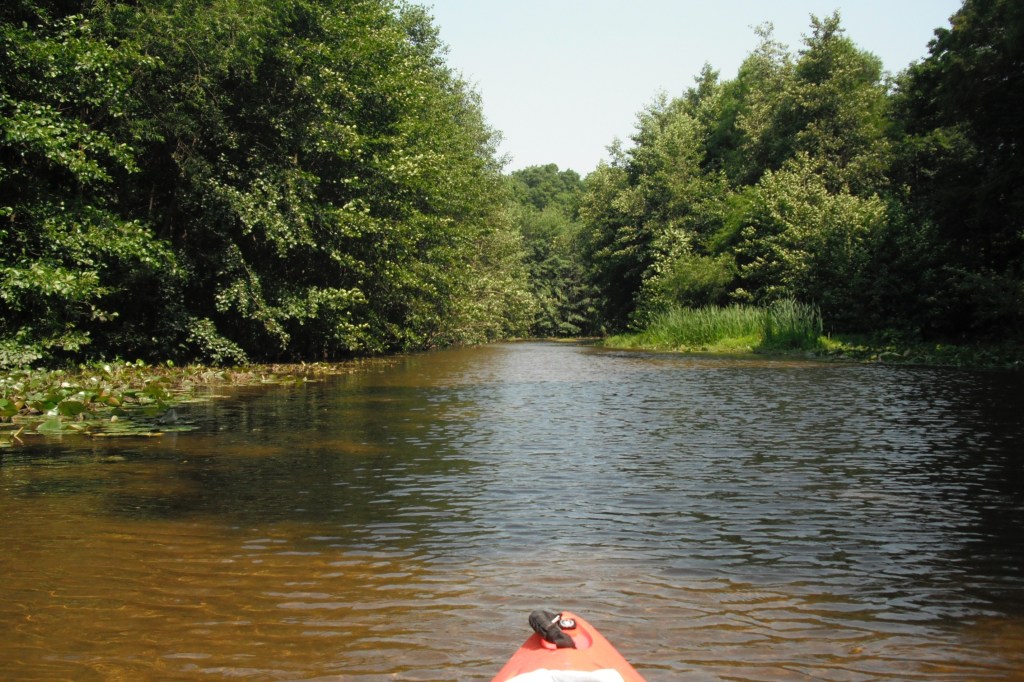
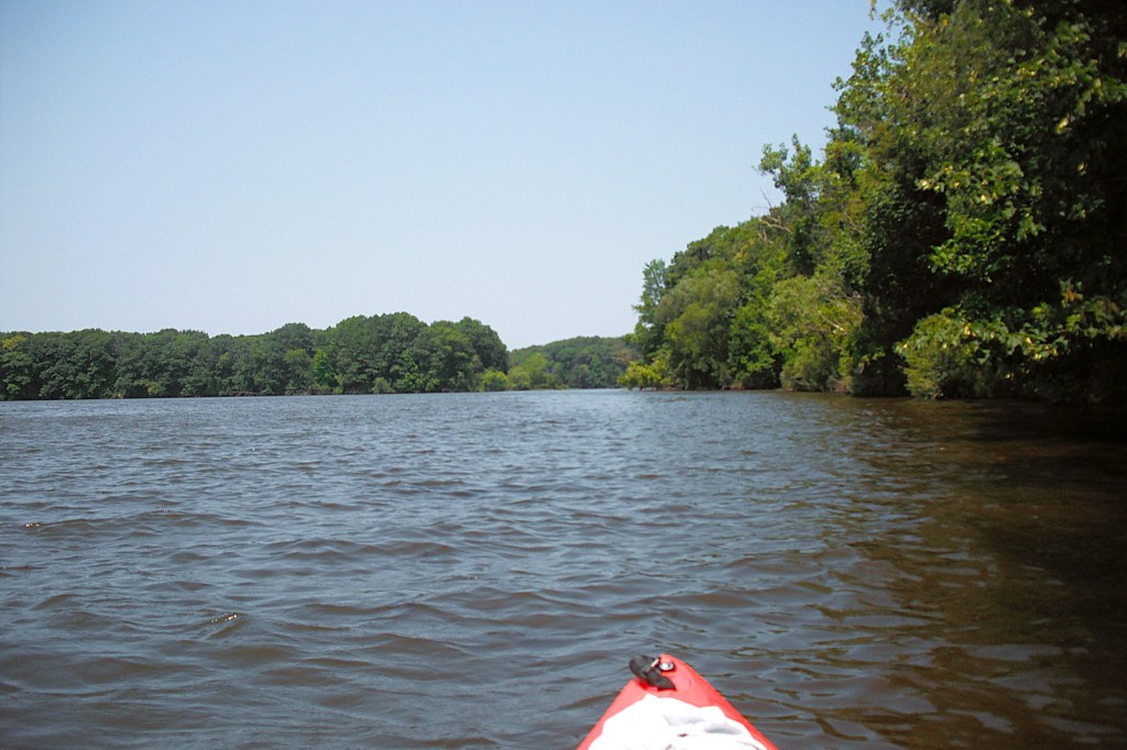
One of the features of Lake Allegan is Dead Fish Cove. It is located on the north side of the lake, northeast of Echo Point. There are no dead fish.

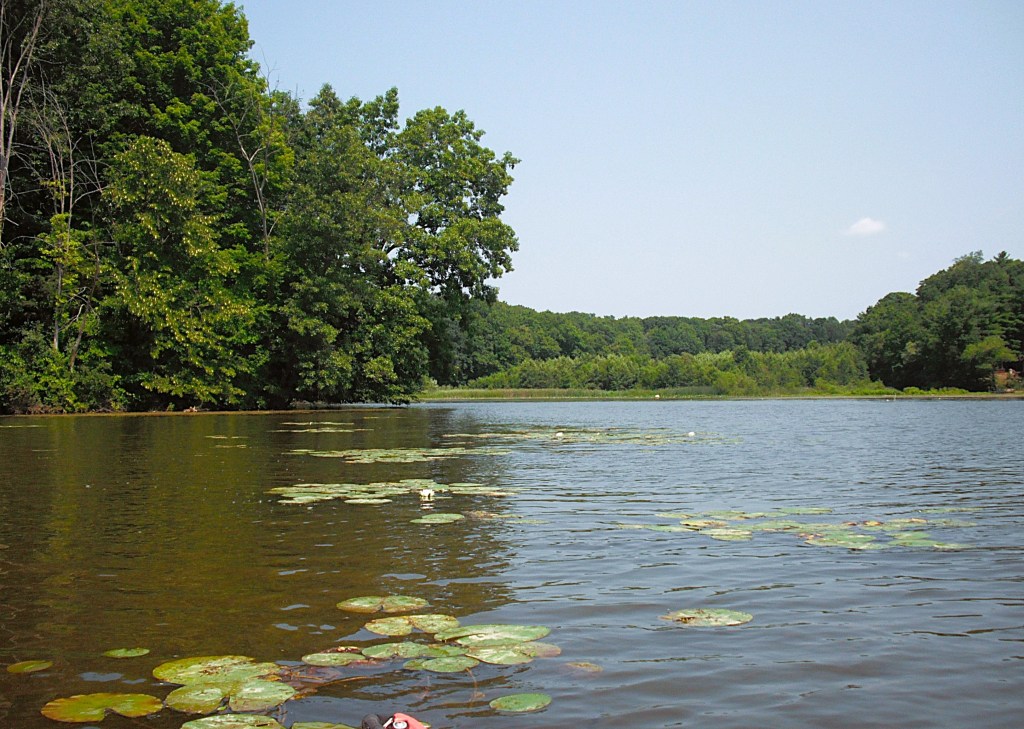
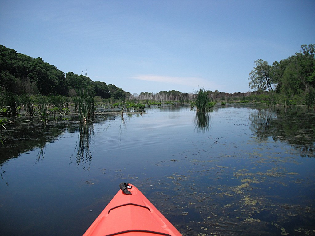
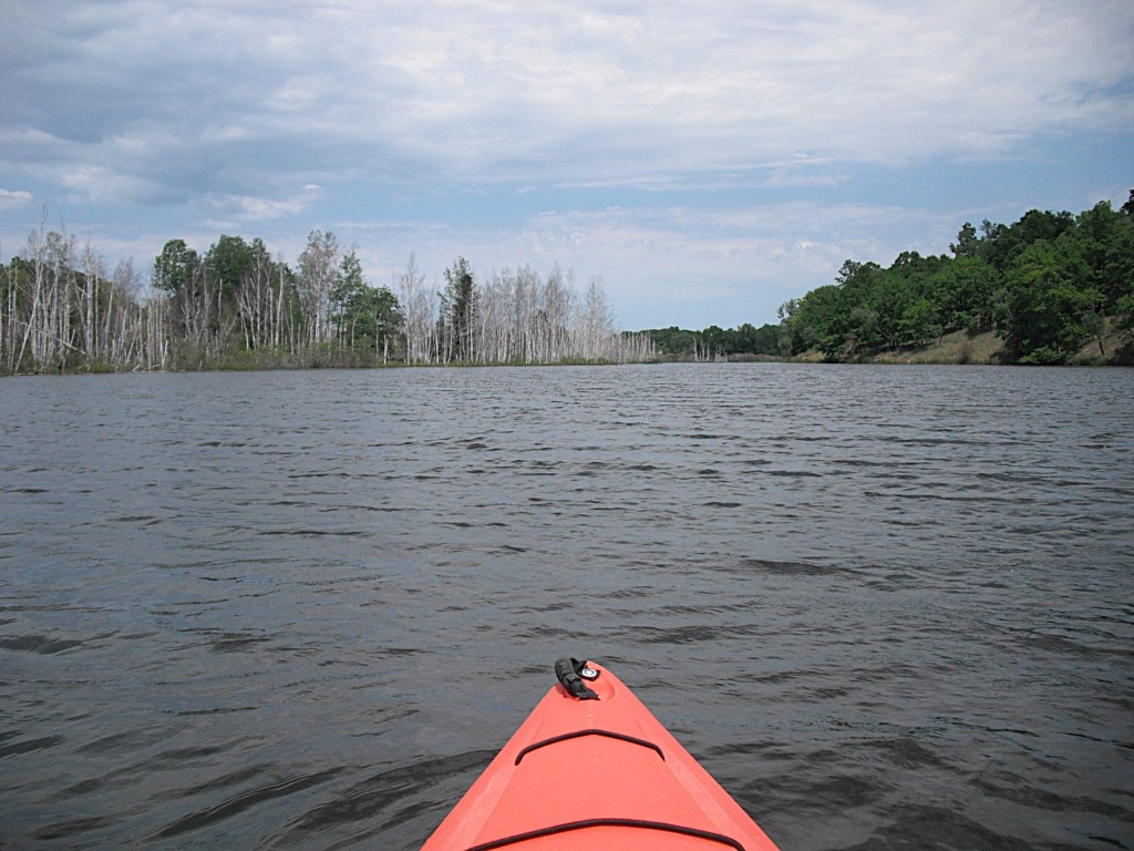
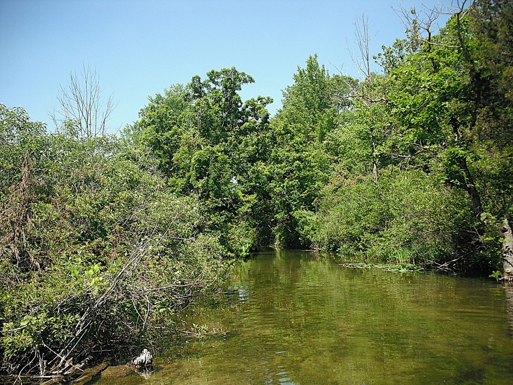
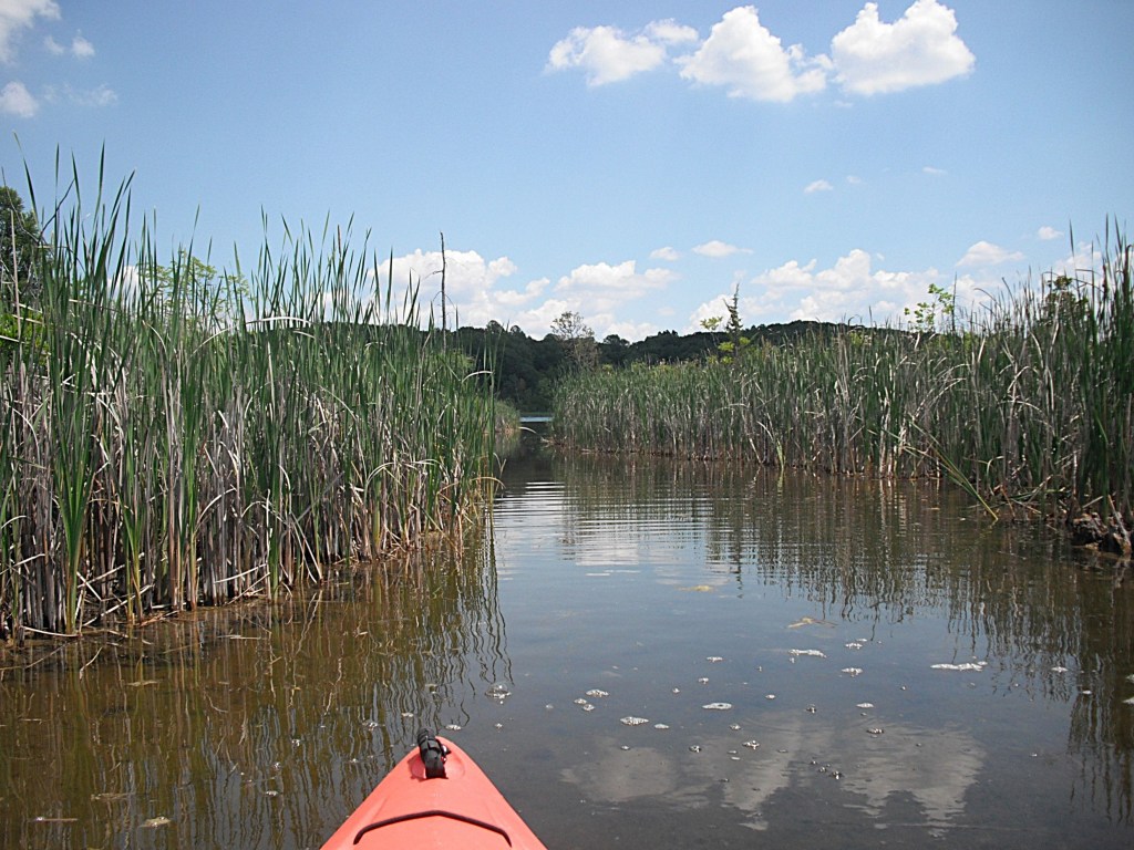
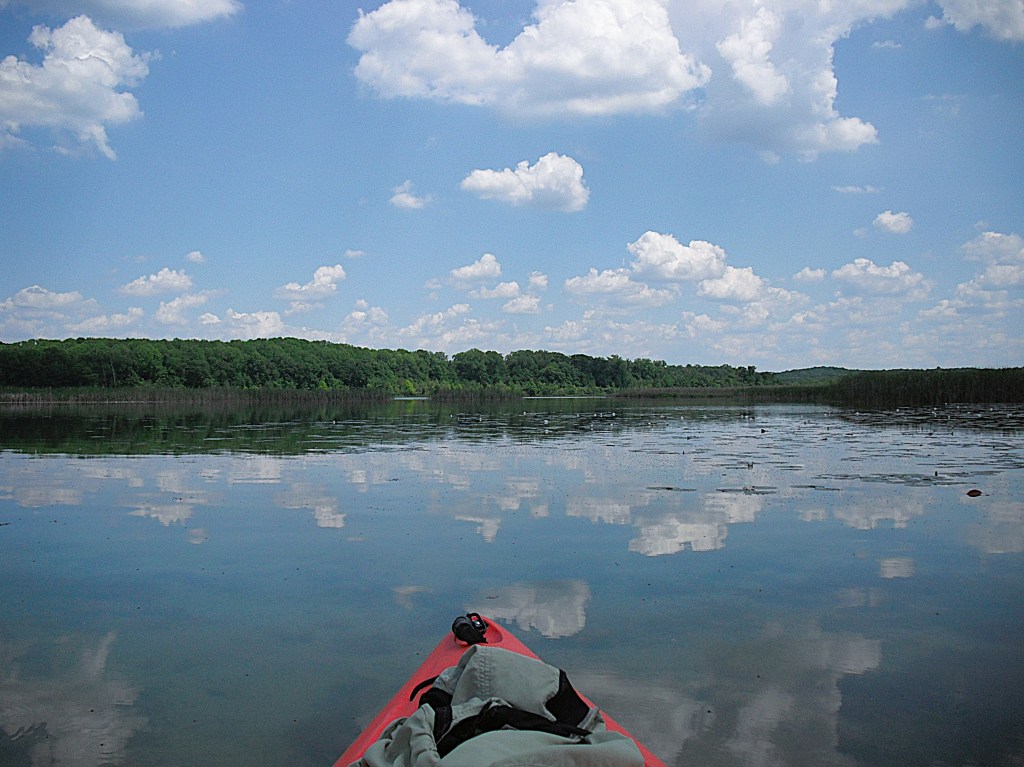
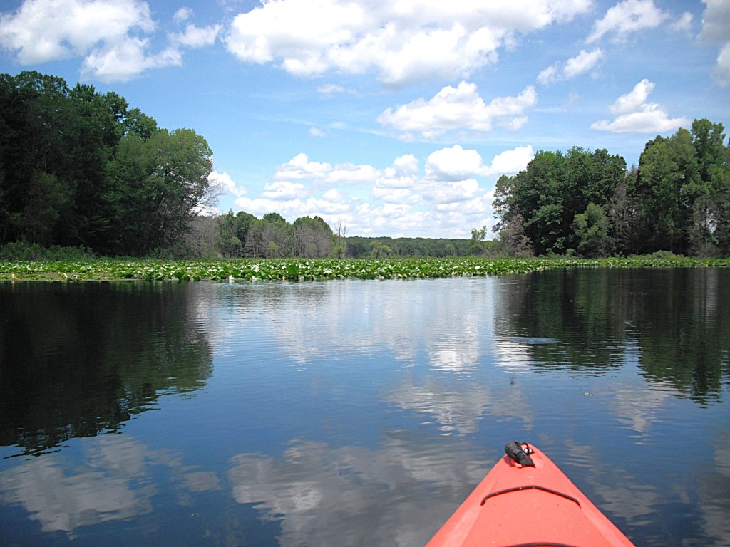
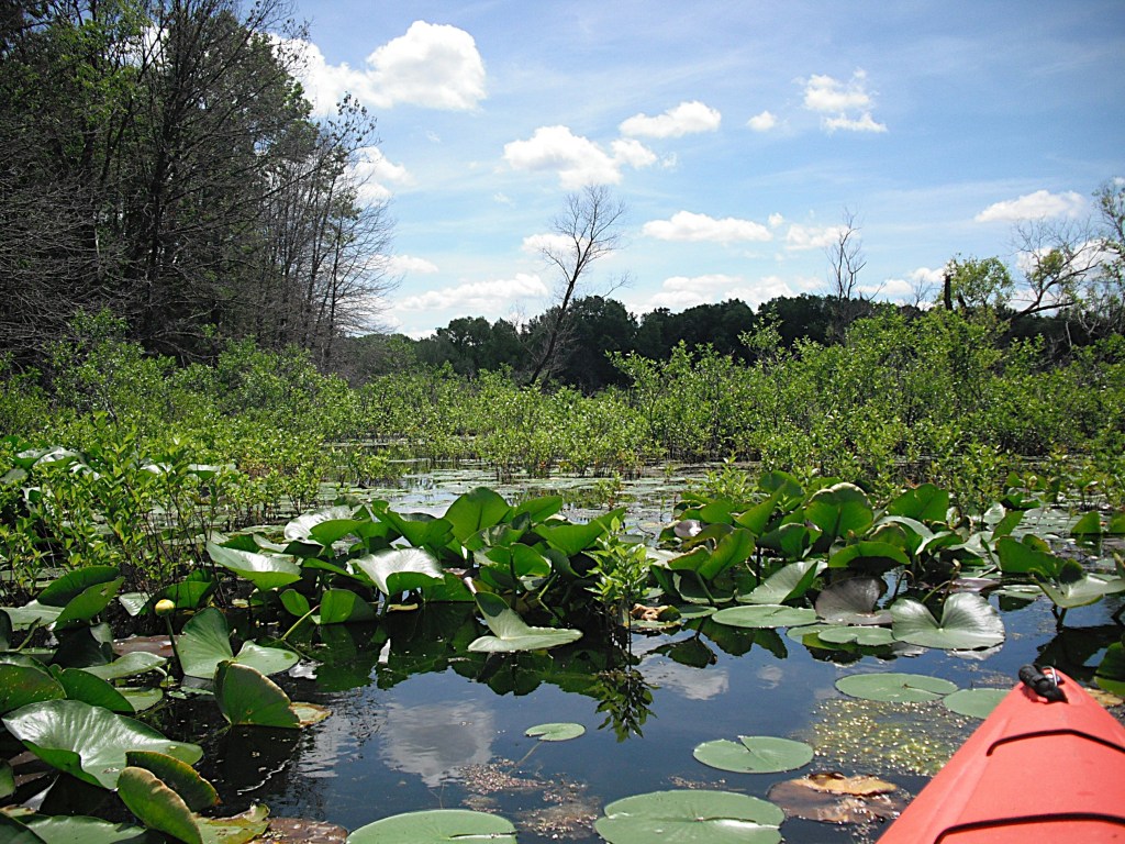
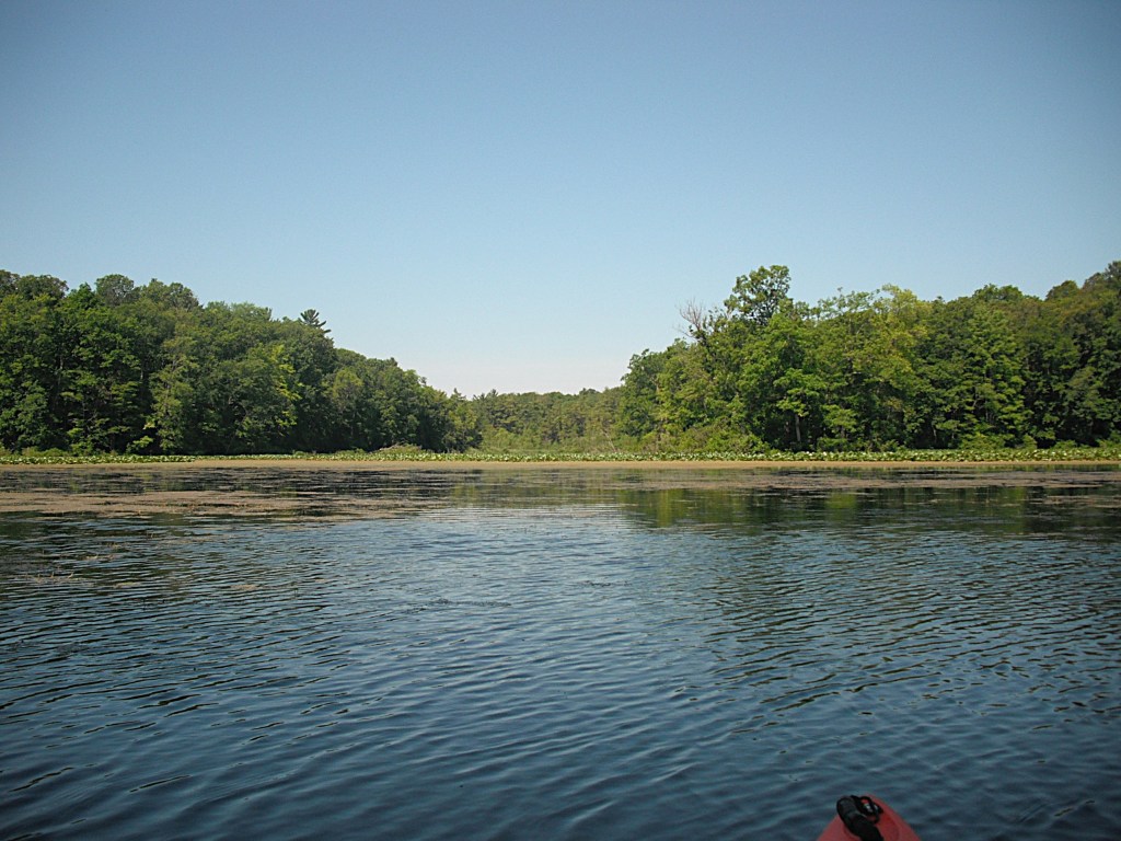
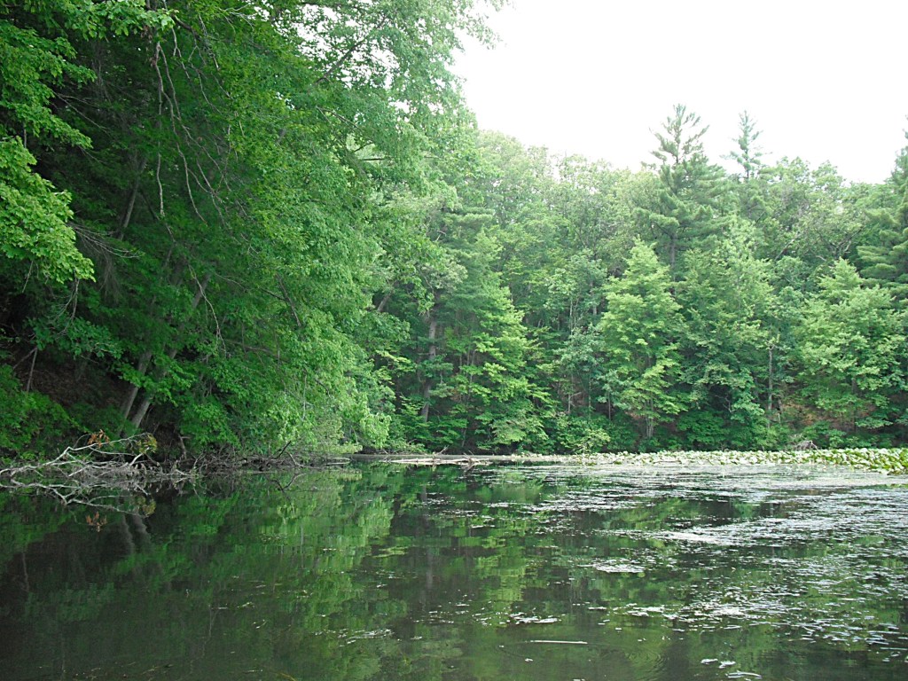
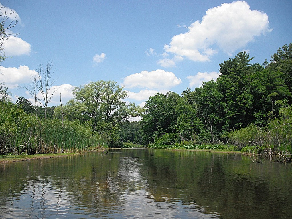
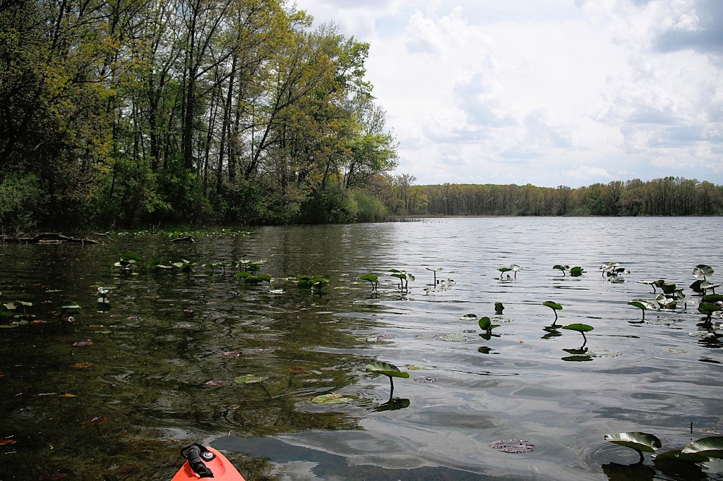
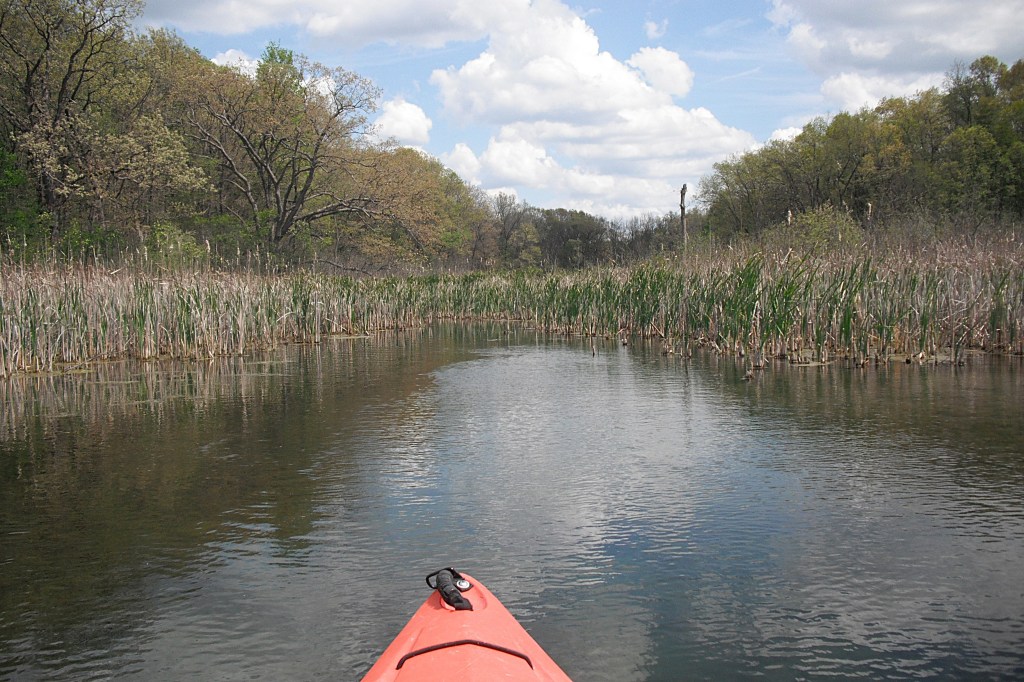
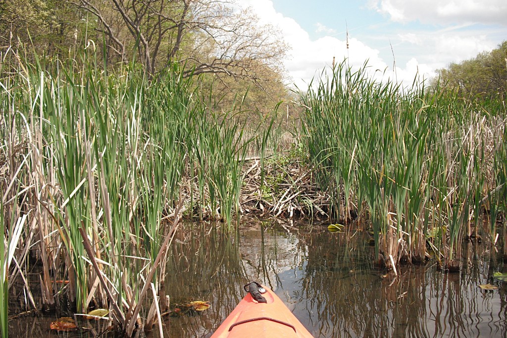
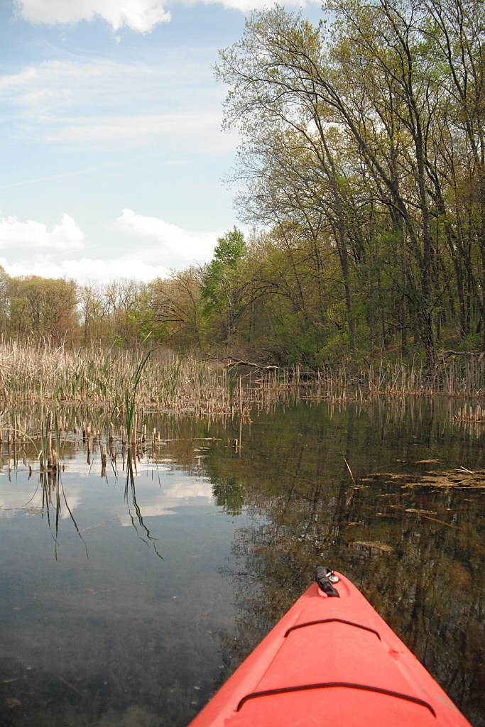
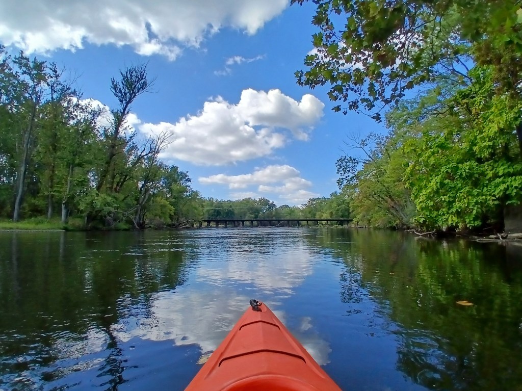
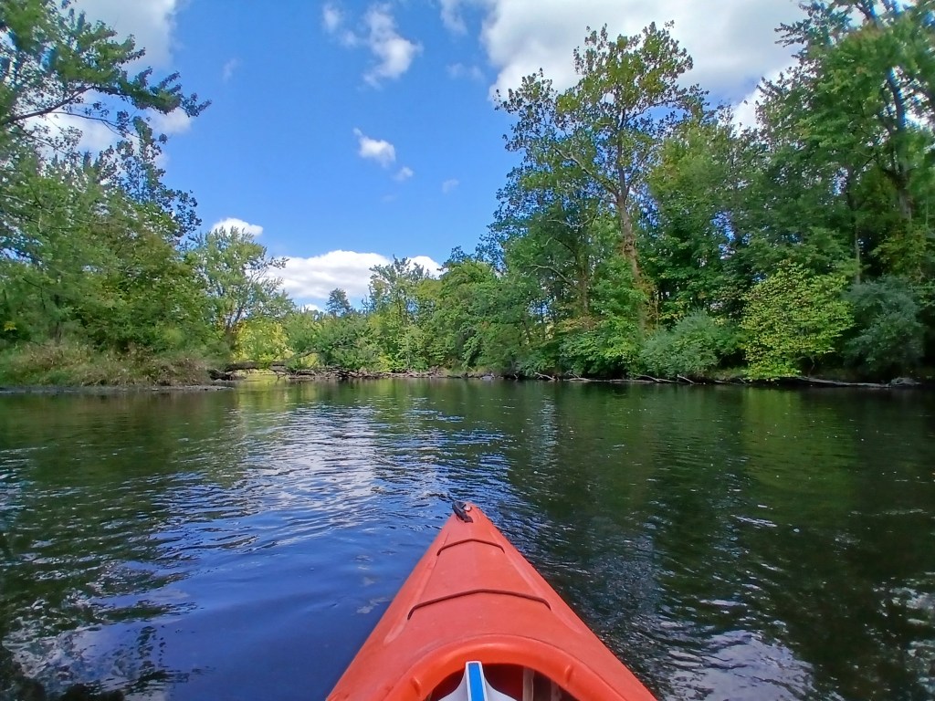
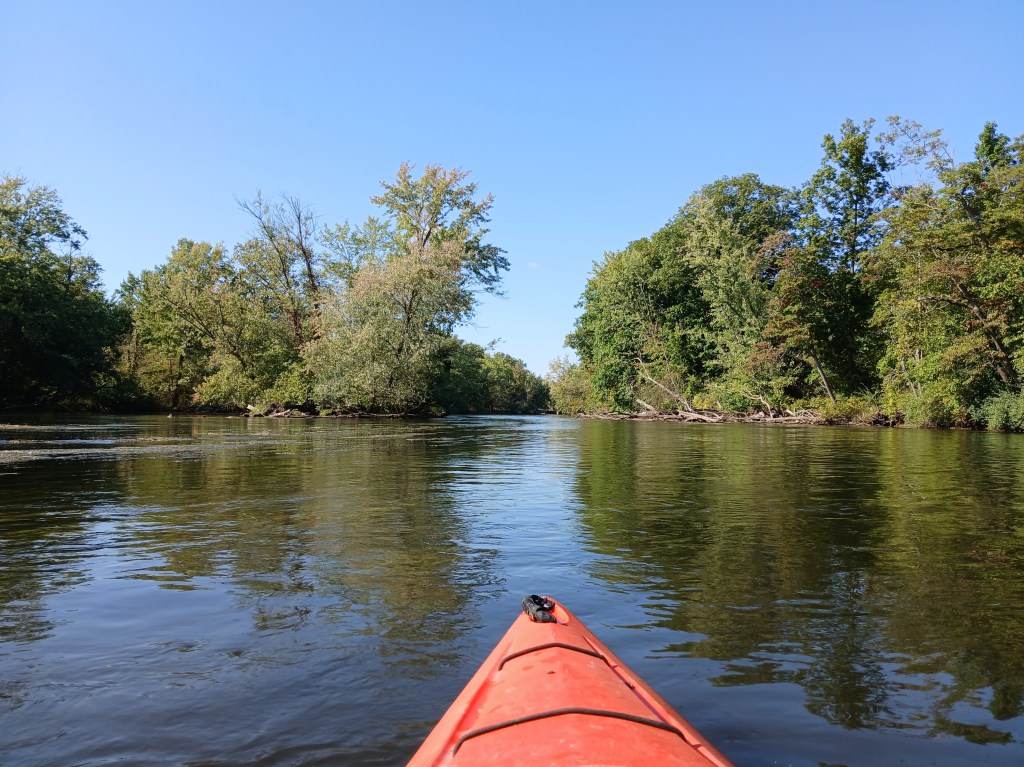
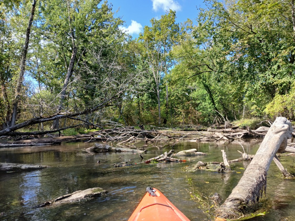
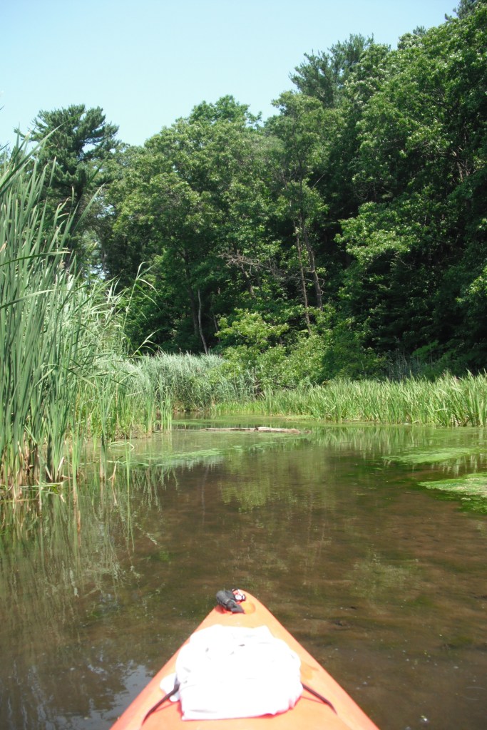
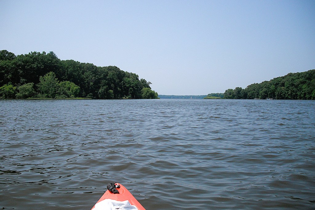
There are two channels of Dumont Creek that flow into the north end of the cove, forming an island in between the two channels. The west channel is only navigable for a short distance, but it is worth checking out.

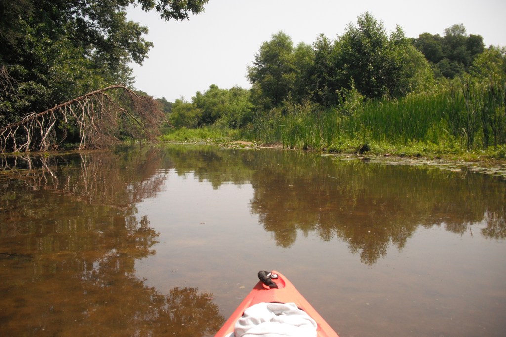
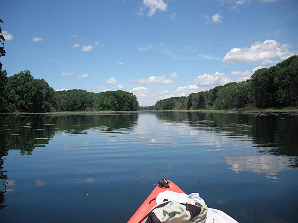
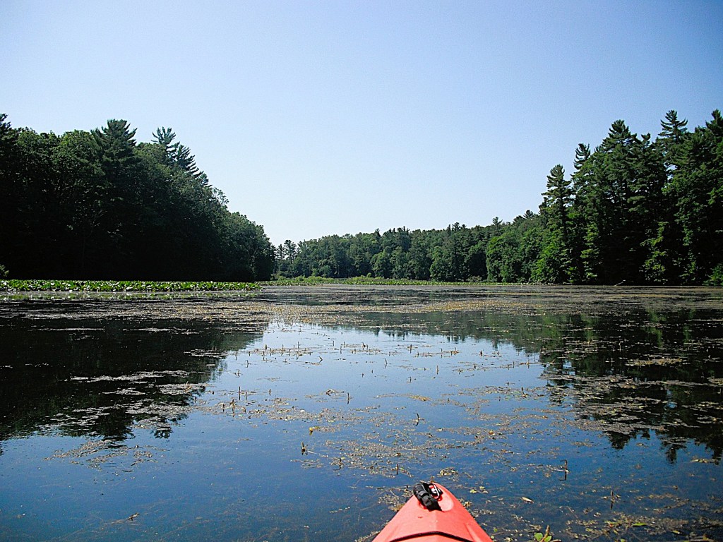
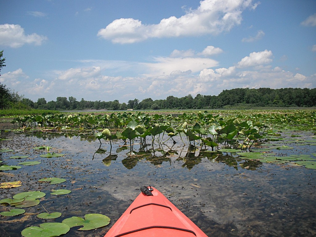
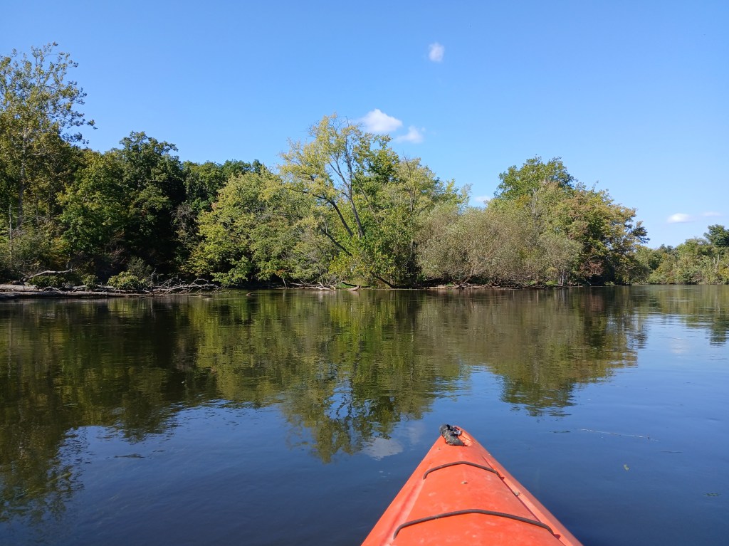
The east channel is much more scenic.

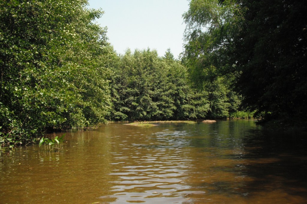
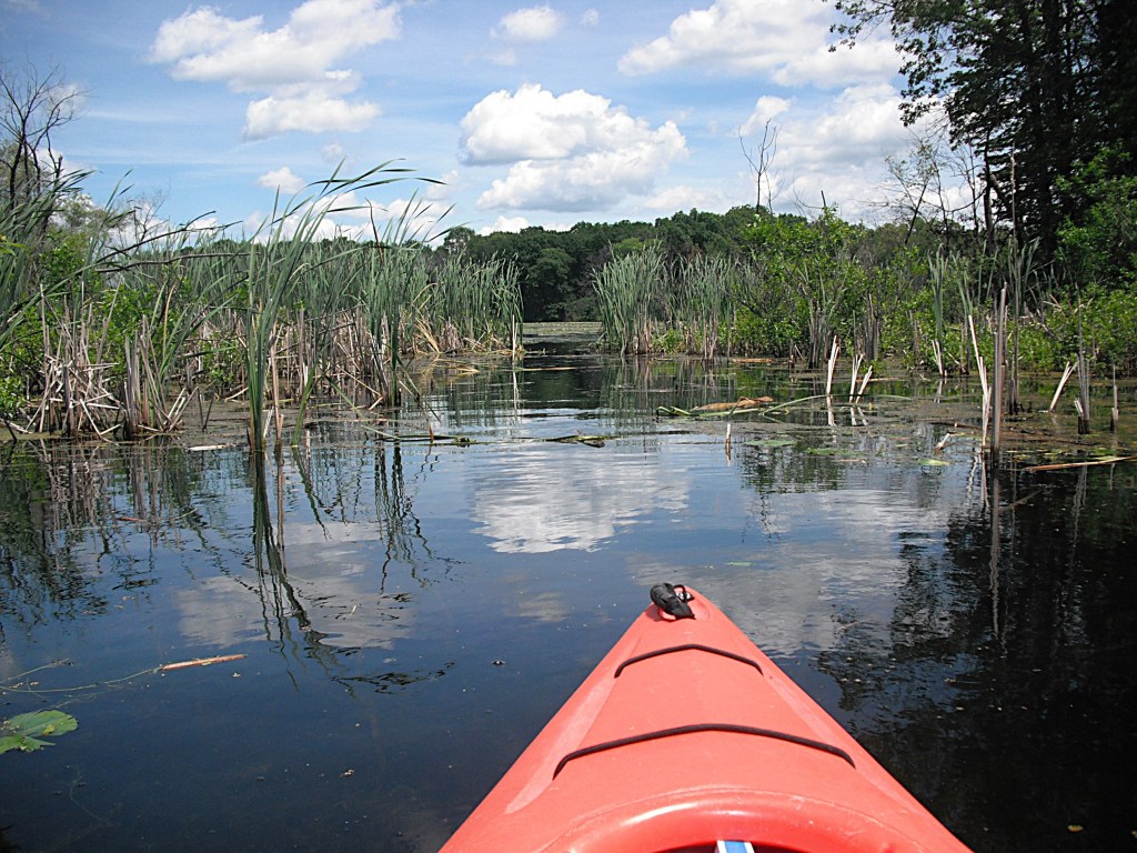
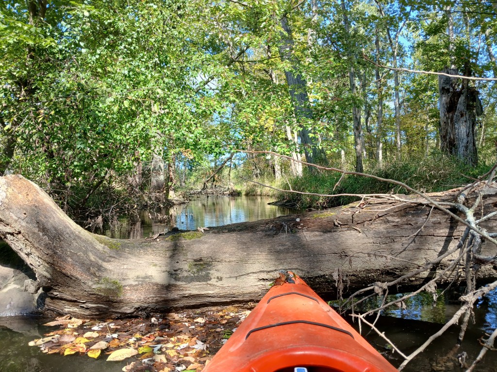
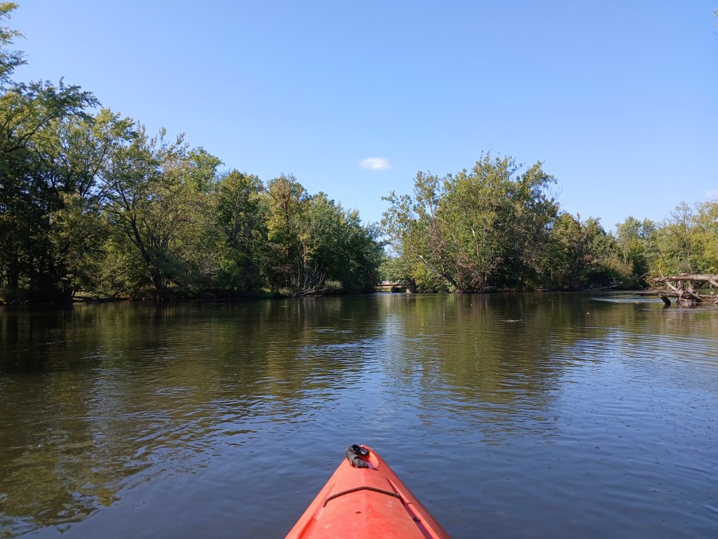
You can paddle it to the north side of the island, where the creek splits into the two channels.

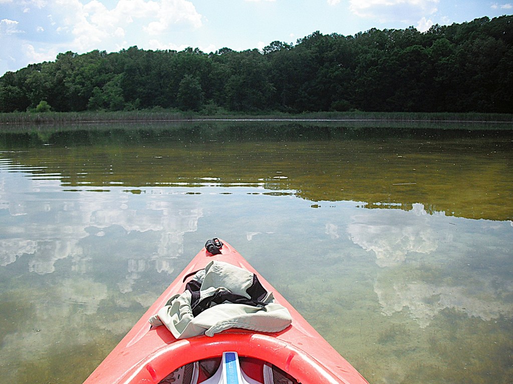
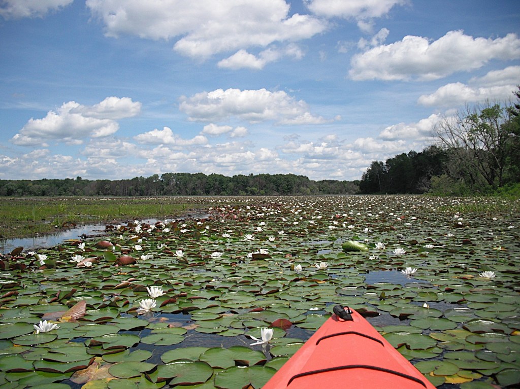
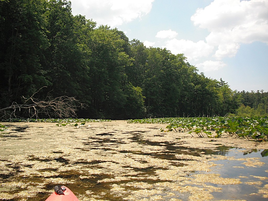
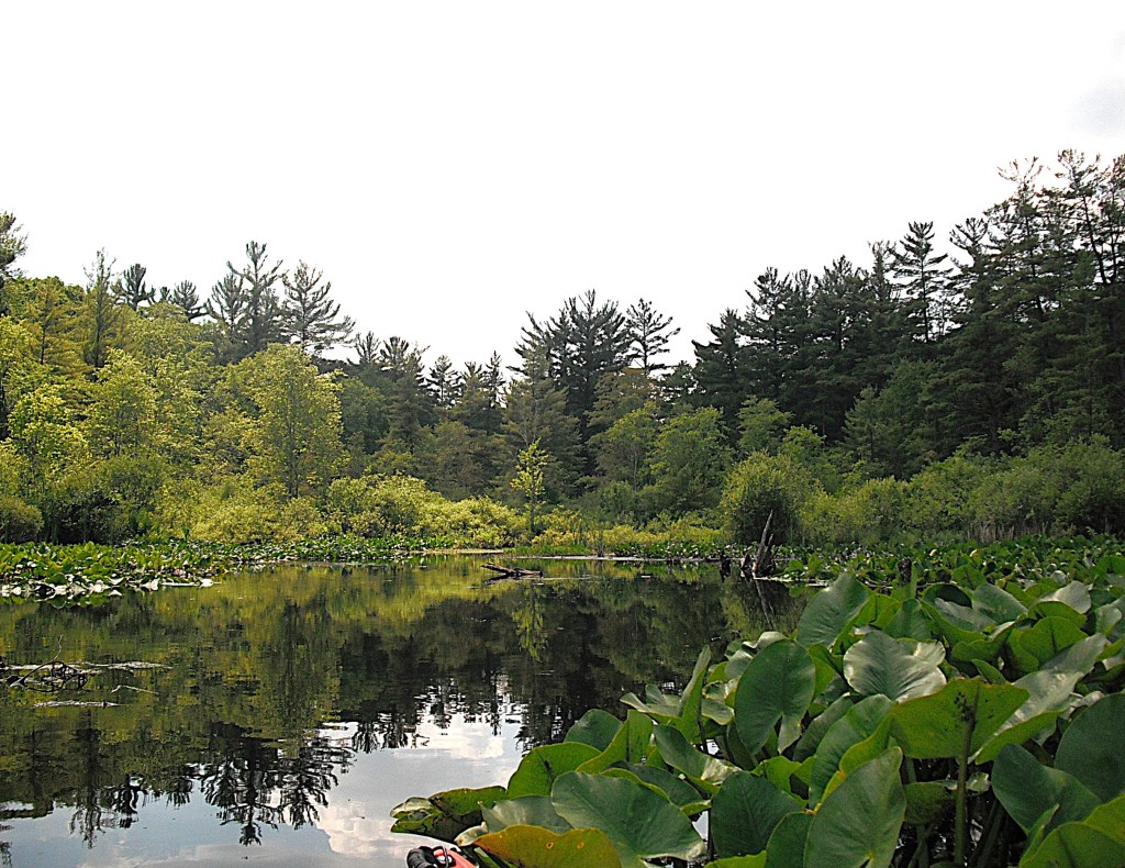
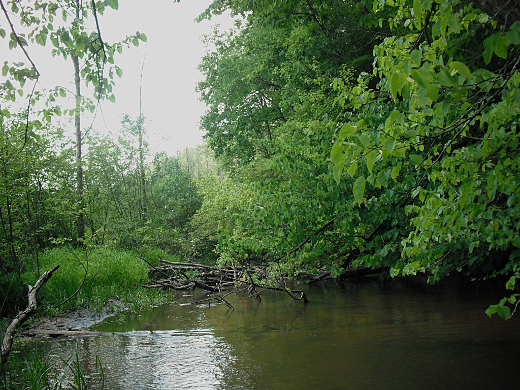
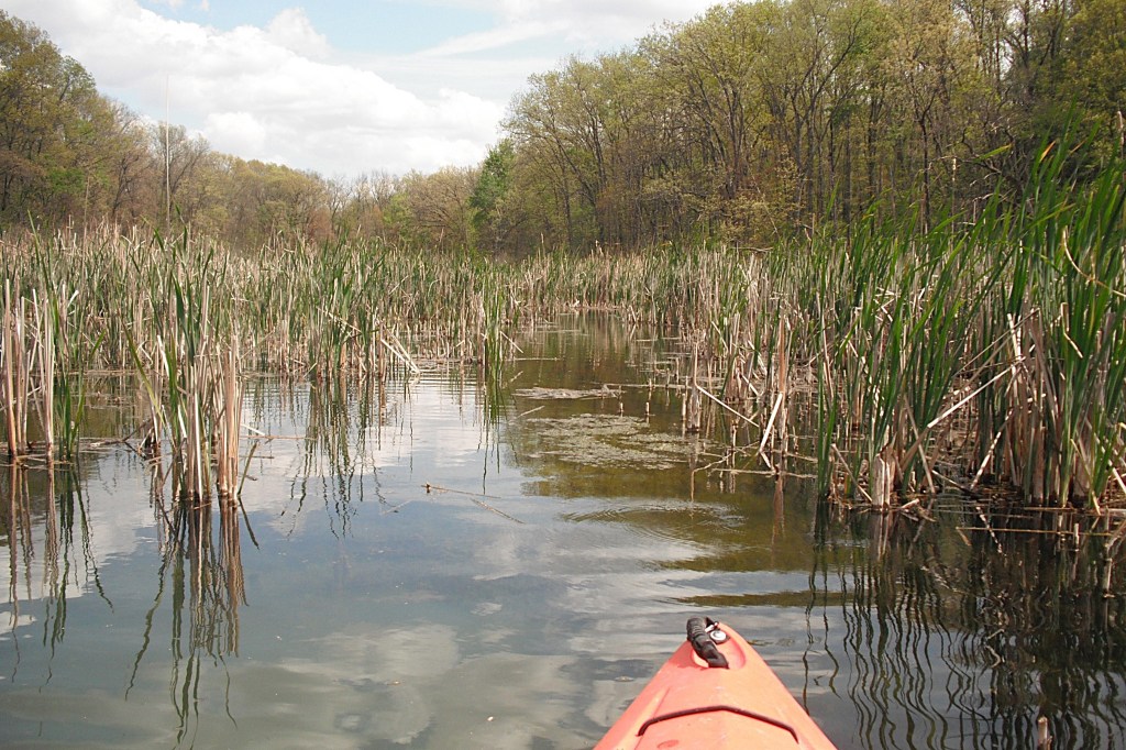
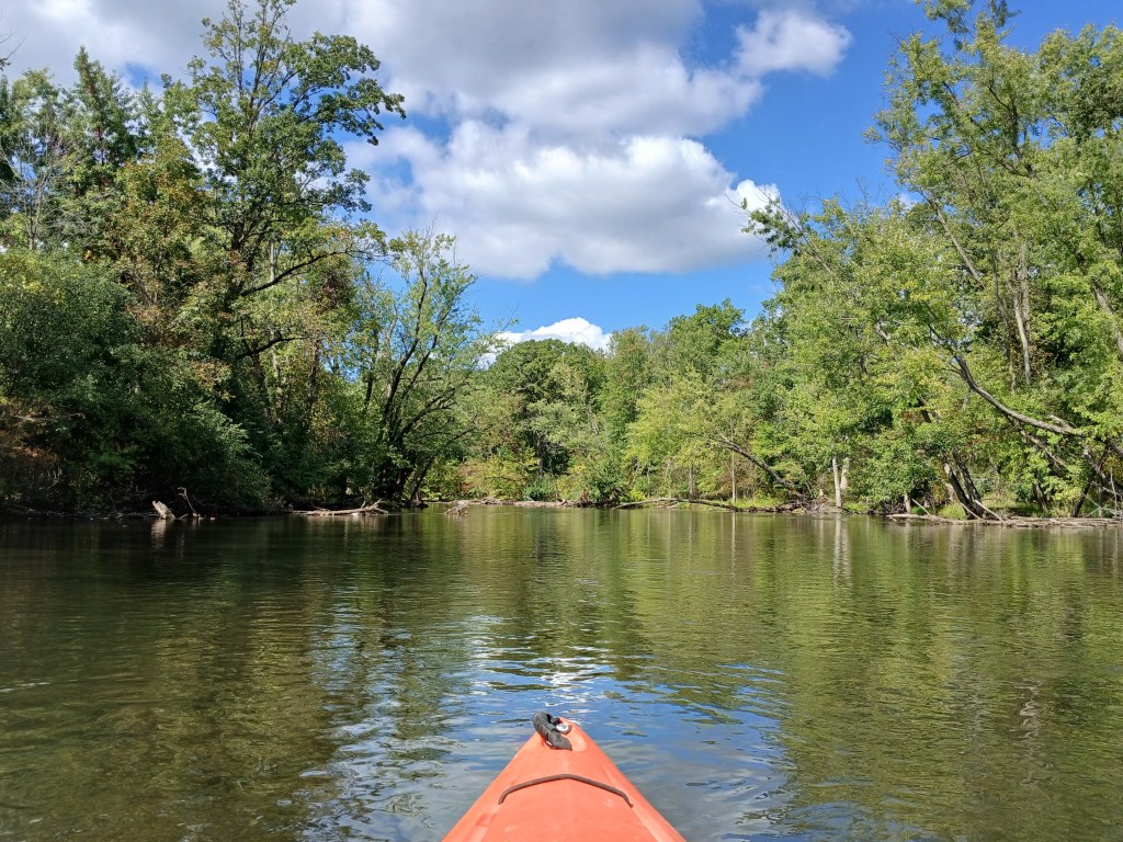
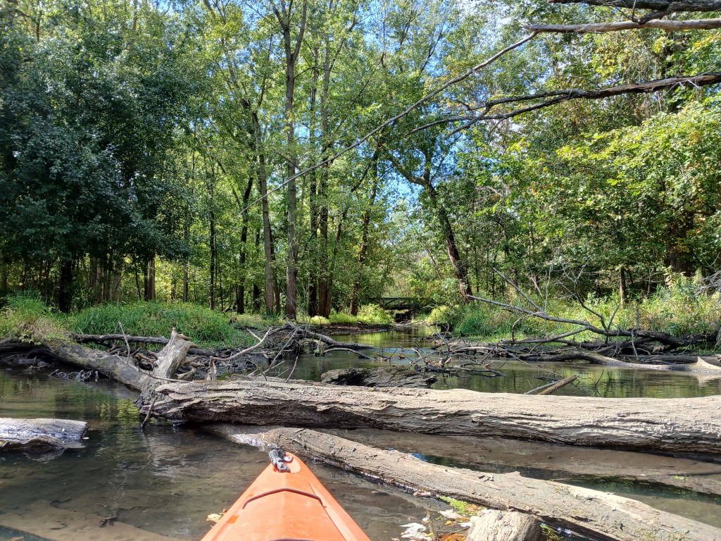
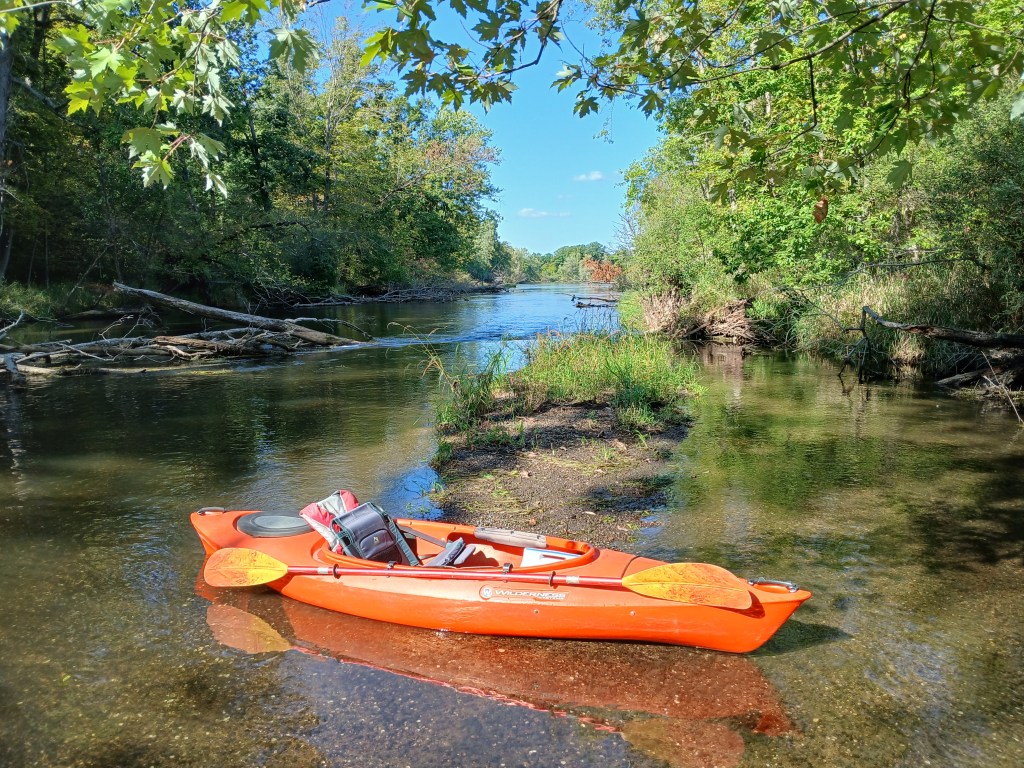
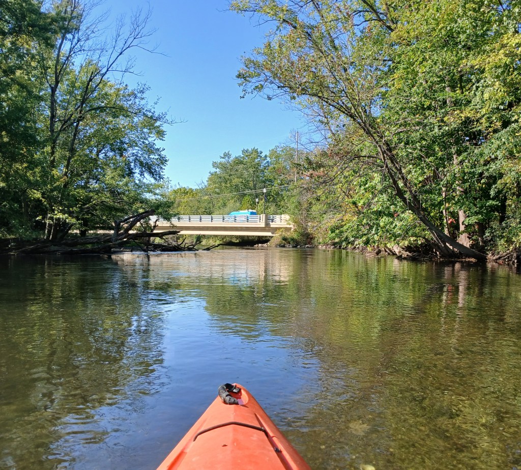
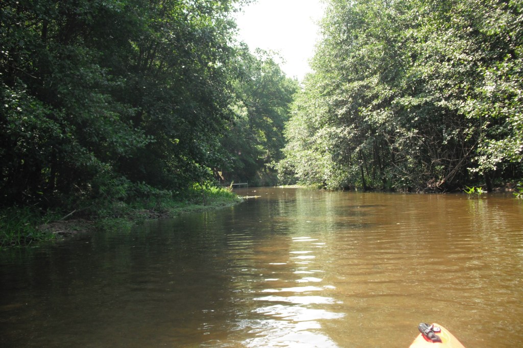
The channels are shallow in spots and you will have to search for water deep enough to float your boat. Upstream from the fork in the creek, the water is too shallow for further exploration. This short stretch of Dumont Creek turned out to be the most scenic part of my trip.

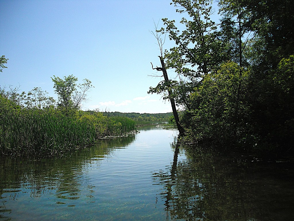
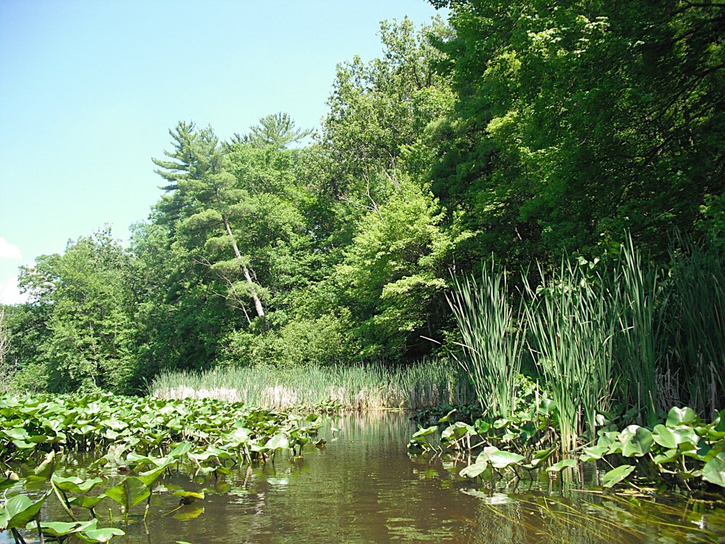
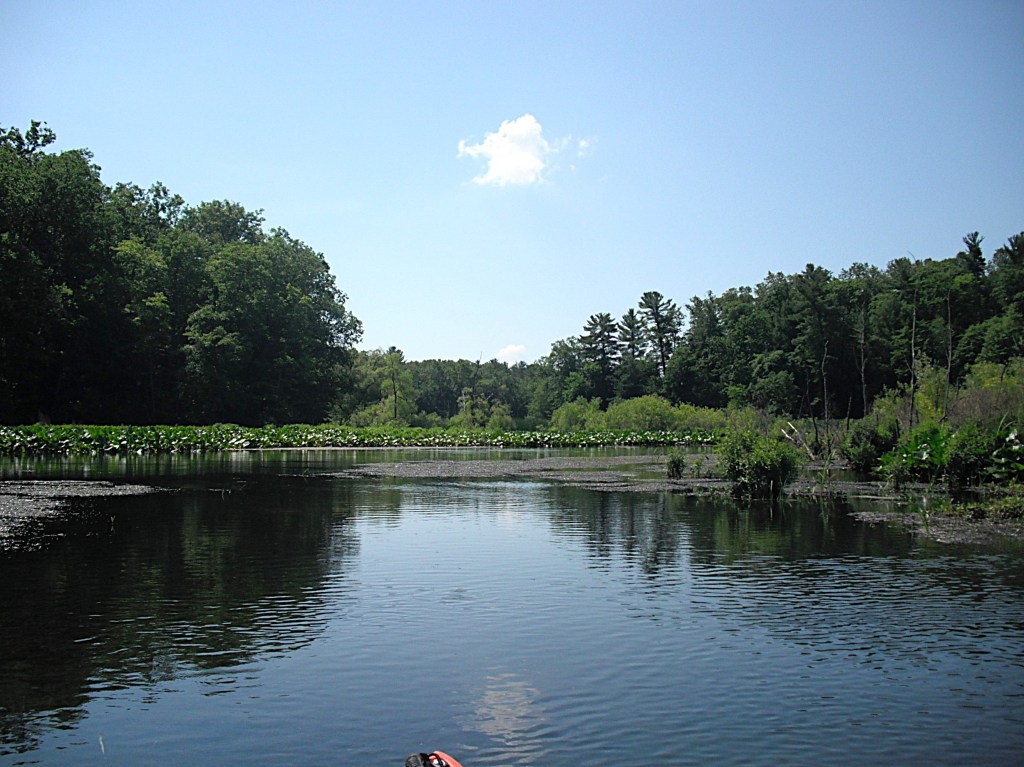
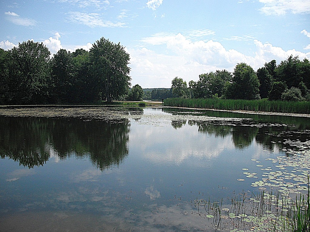
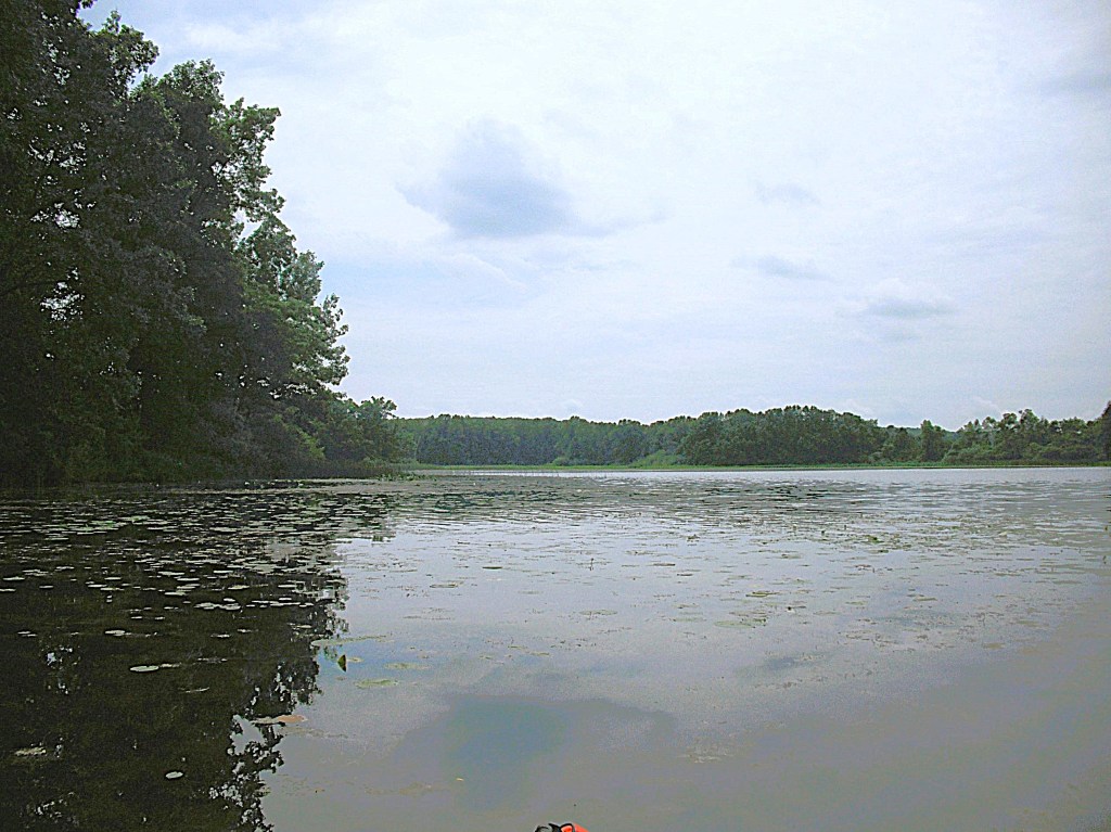
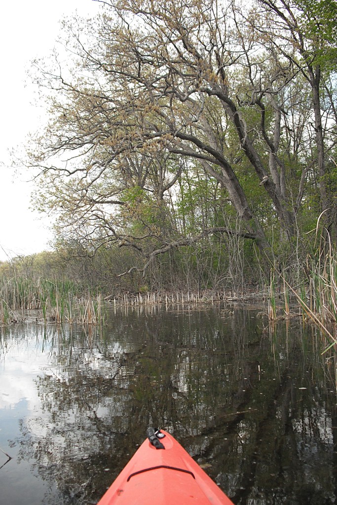
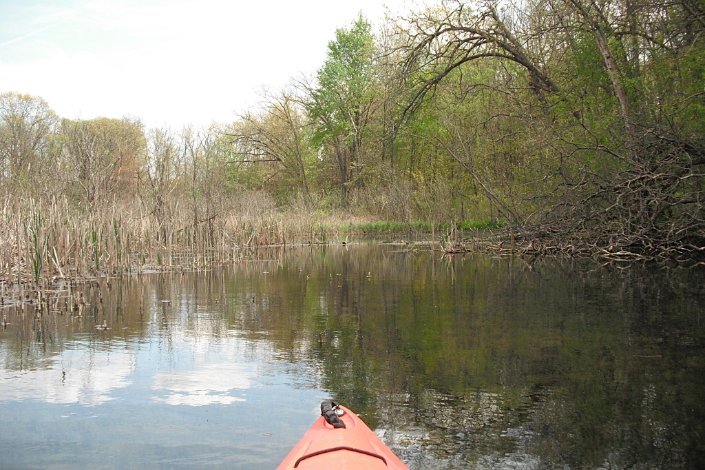
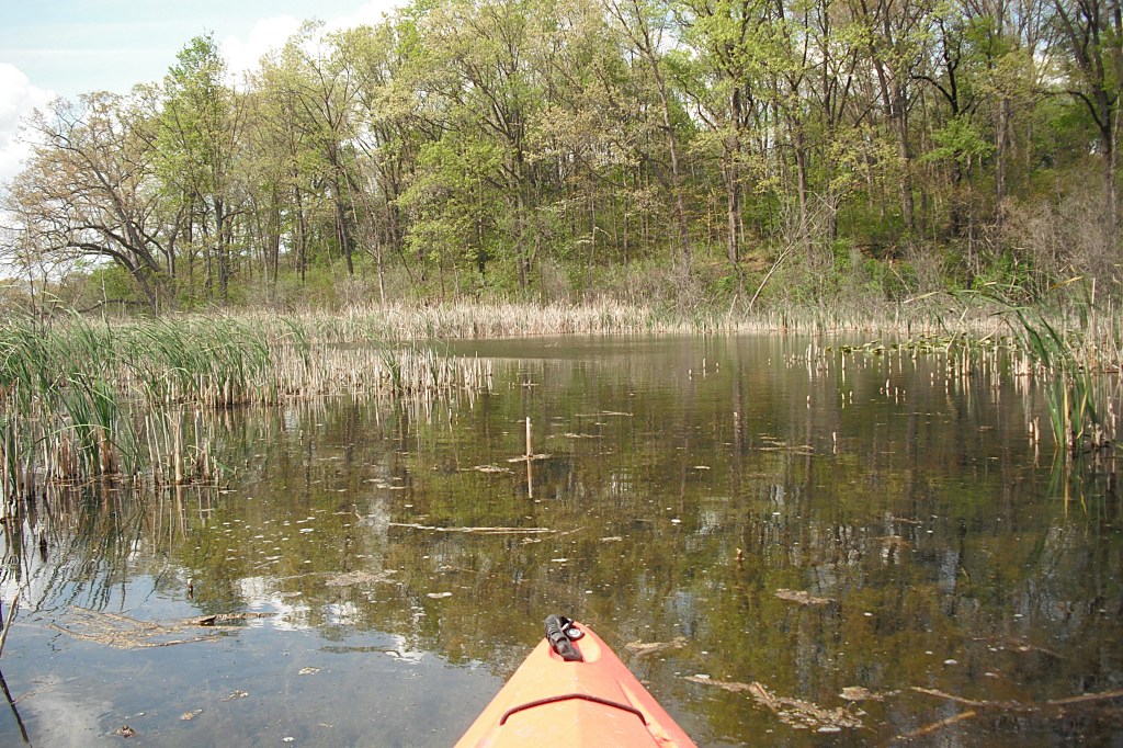
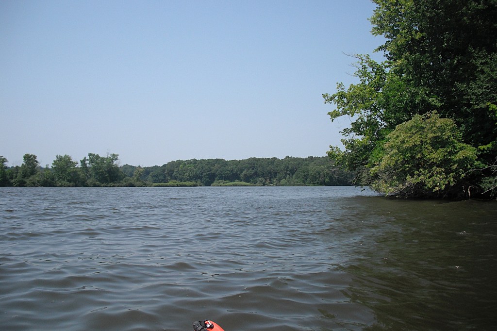
About three quarters of a mile west of Dead Fish Cove, the shoreline curves north into a cove.

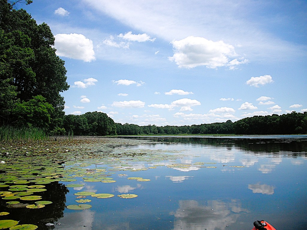
In the back of the cove, I explored a small unnamed stream flowing through a swamp. Even though it was only navigable for a short distance, I found it to be scenic and worthy of a visit.

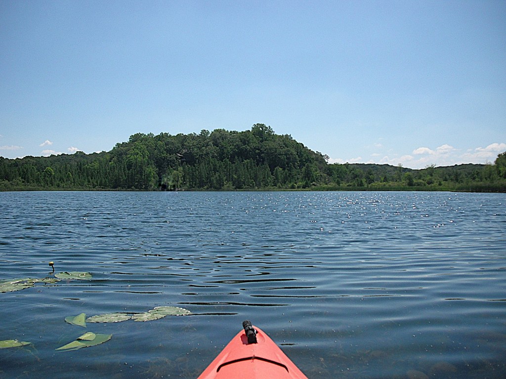
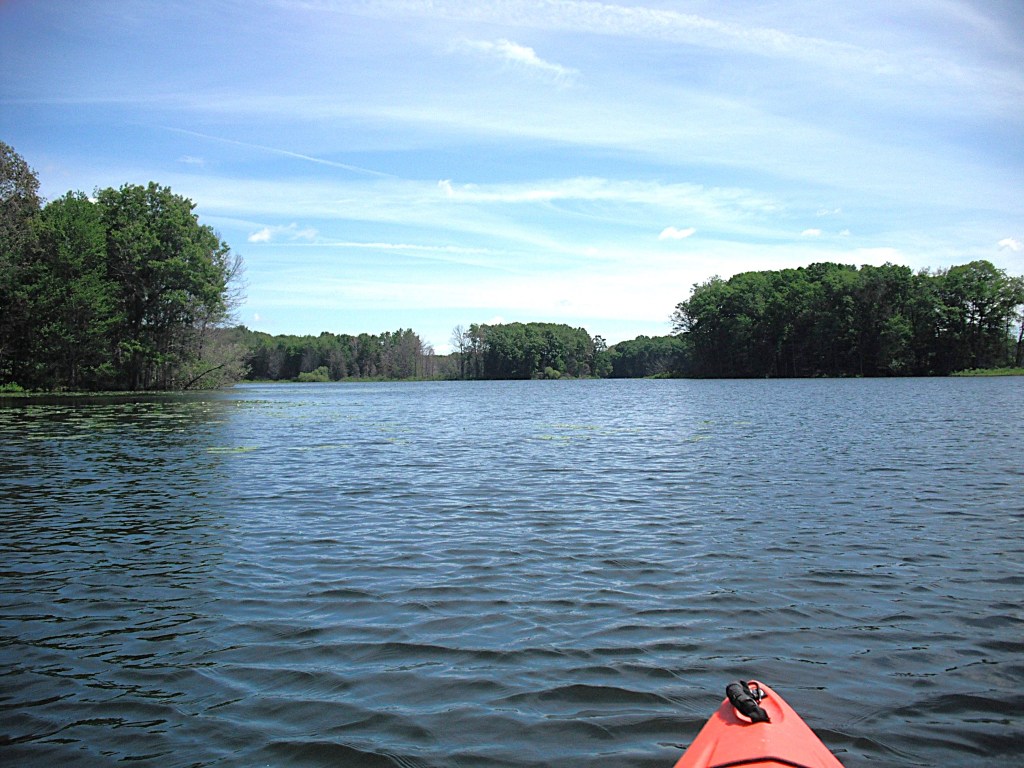
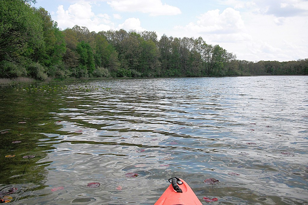
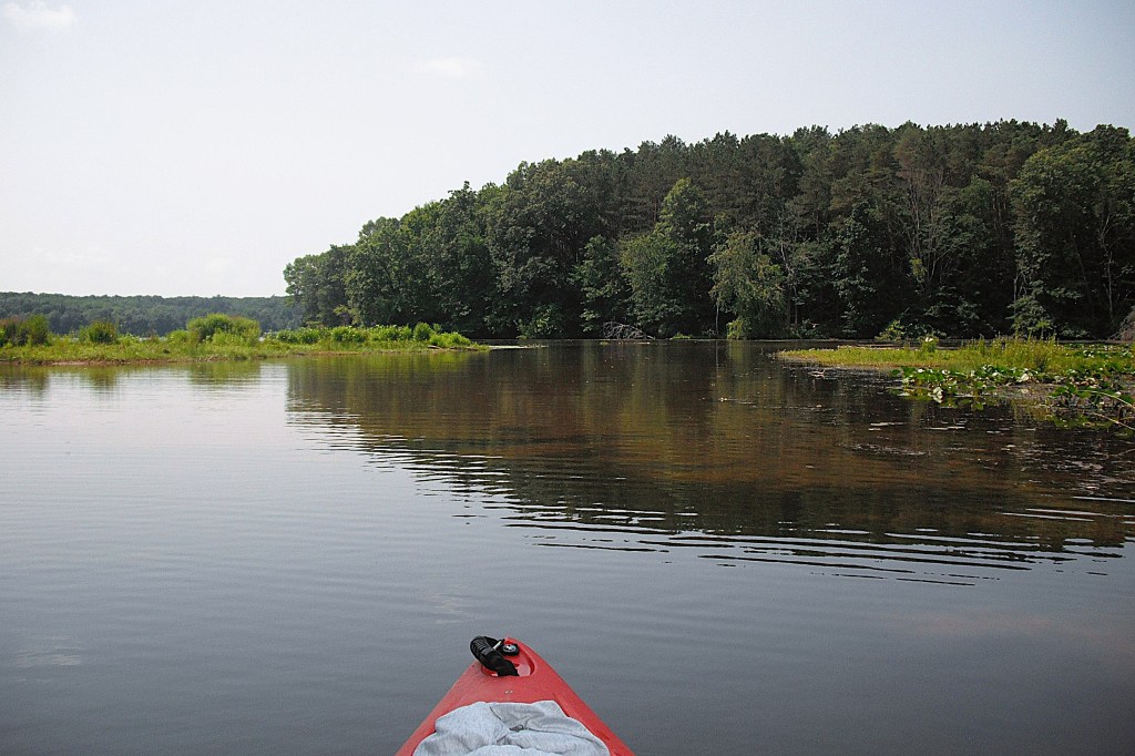
The three islands on the lake are not named, so I will refer to them as Small, Medium, and Large. The islands are located about three quarters of a mile northwest of the Echo Point landing. The islands are all uninhabited.

Small island is separated from the mainland by a shallow, narrow channel. I found Small Island to be a uninteresting clump of vegetation.

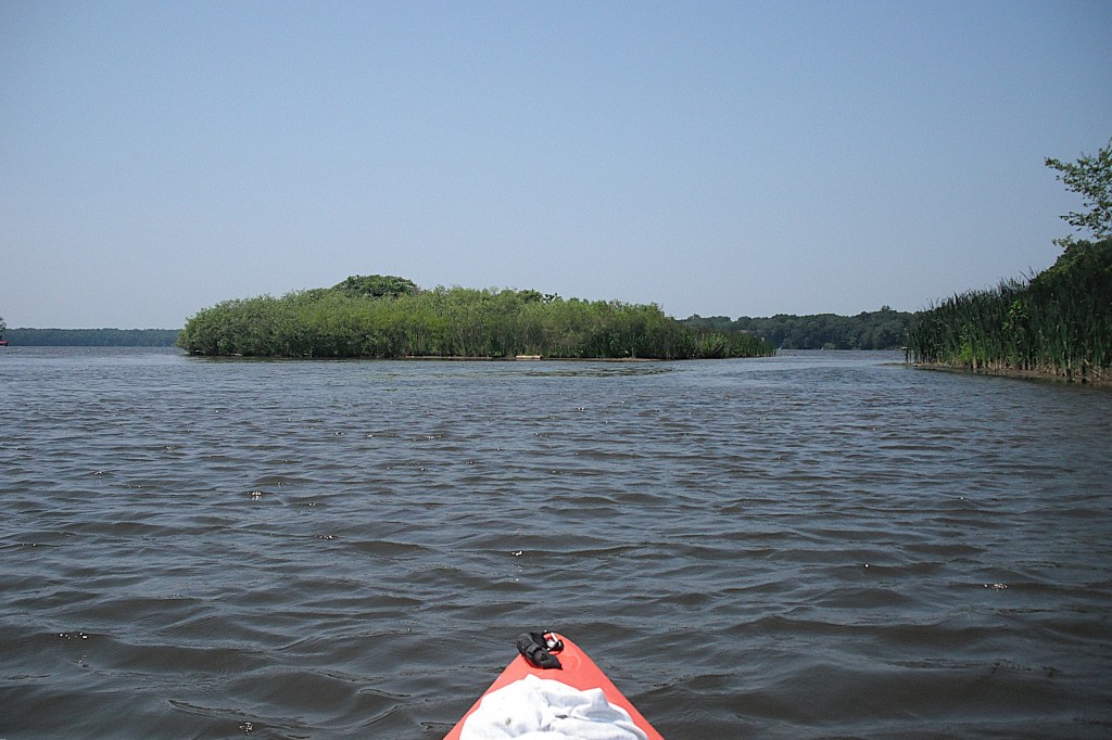
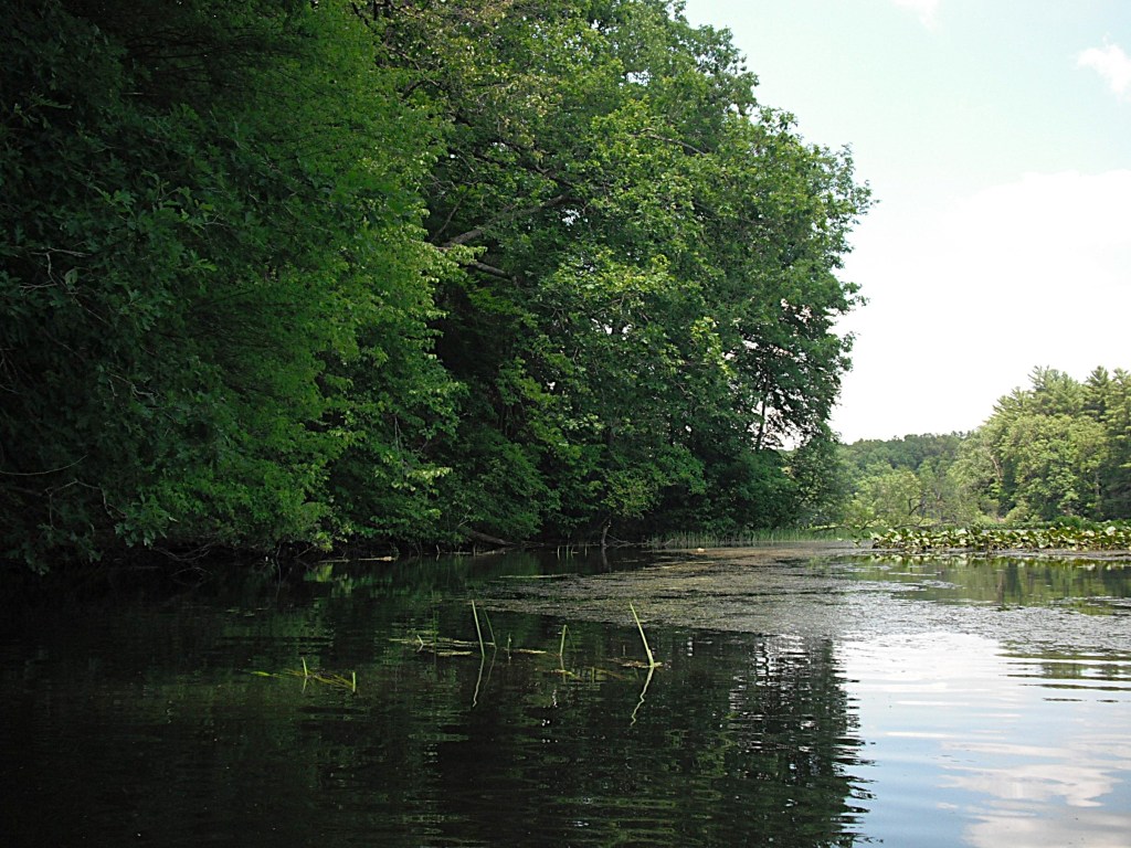
Medium Island has swampy lowland and some high ground with a few large trees. Much of the shoreline is lined with brush.

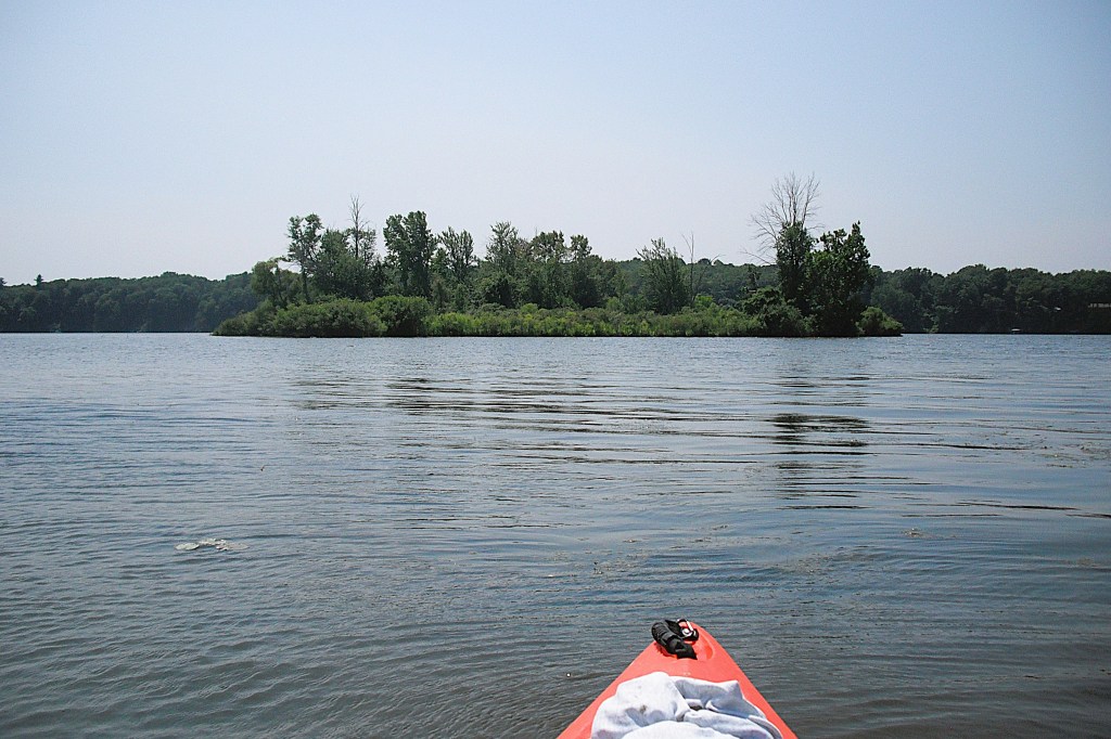
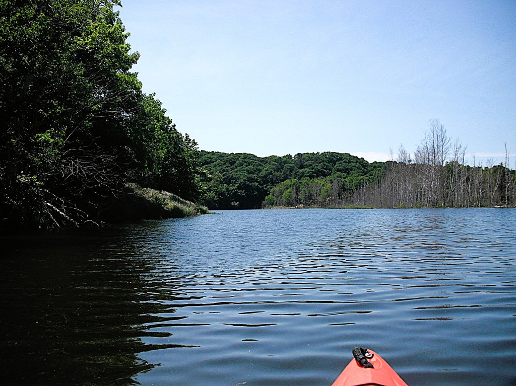
I found Large Island to be the most interesting of the three islands and I spent most of my time there. The north end had some swampy lowland.

The rest of the island was heavily wooded high ground. Much of Large Island featured steep banks down to the water’s edge.

On the east side of Large Island, I found a spot that showed signs of visitors. I stopped there and took a break for lunch under the shade of a huge oak tree.

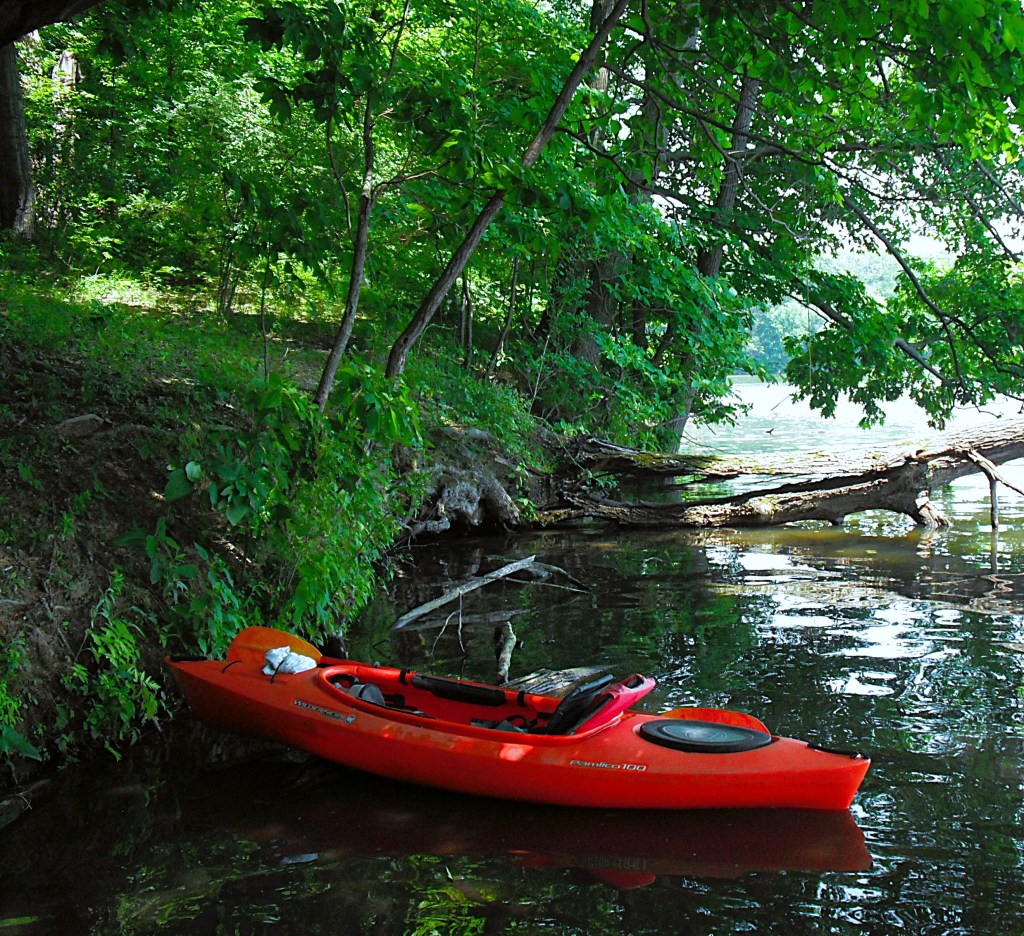
After lunch, I hiked a short, wide path up the steep bank that led to a informal campsite, complete with a rock campfire ring and half of a picnic table. There were two footpaths that led into the woods from the campsite. I didn’t hike the trails, choosing to explore with my kayak instead.

After my lunch break, I continued paddling around the island. On the southern tip of the island, I discovered a vertical cliff rising up from the shoreline. That point also gave me a nice scenic view of the west end of the lake.

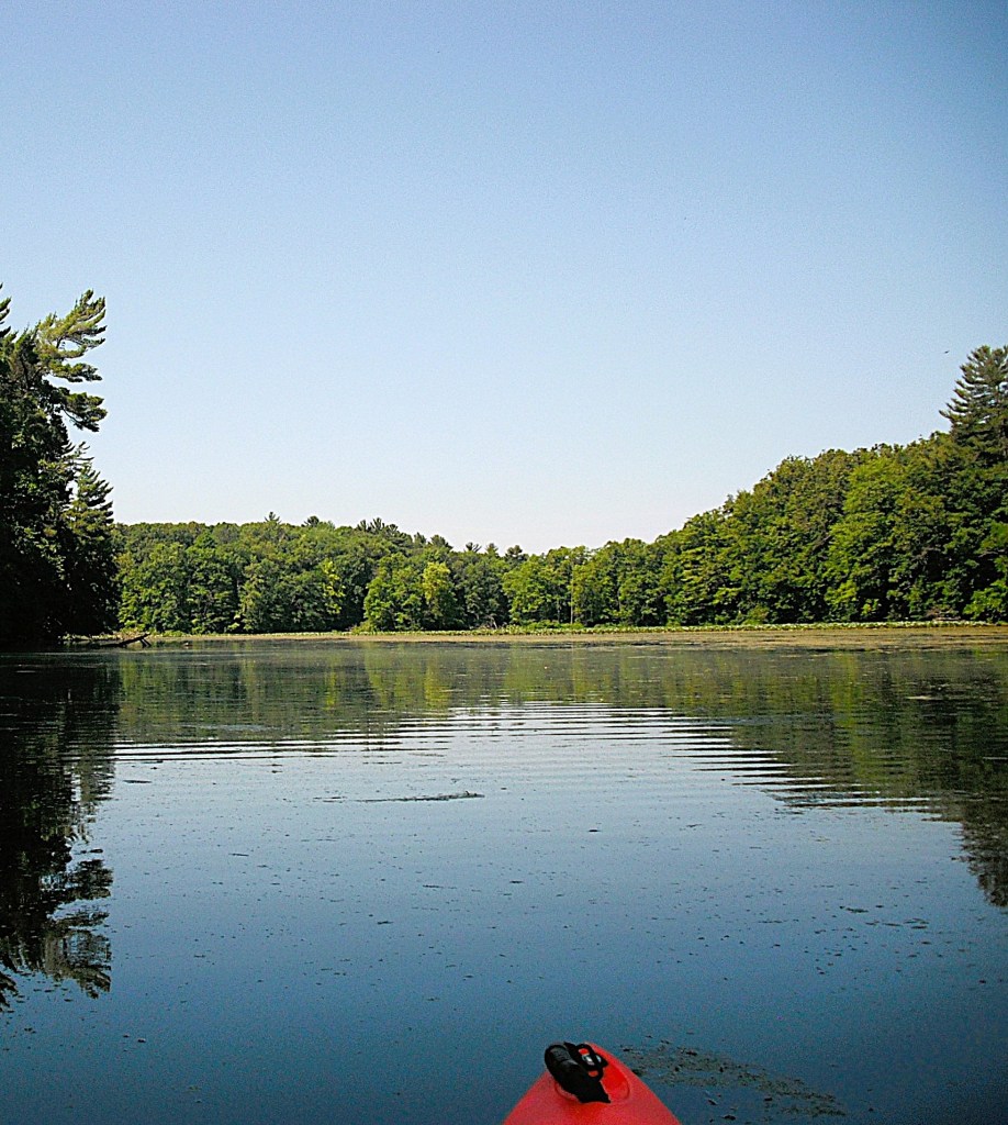
By the time I finished seeing everything that I wanted to see, it was late afternoon and time to head back to the landing. With a stiff breeze at my back, it seemed to take very little time to reach the Echo Point landing, ending another scenic day on the water. I thoroughly enjoyed kayaking Lake Allegan: Dead Fish Cove, Dumont Creek, the unnamed stream, and the islands. I hope you get a chance to explore Lake Allegan. If you do, you’ll be glad that you did!

SAUGATUCK, ALLEGAN COUNTY

When I first visited Saugatuck in the 1970’s, it was a sleepy little village with practically no visitors besides some boaters. Now it is a year round tourist mecca with throngs of people. It’s still a enjoyable place to visit. Taking a stroll downtown should be part of your visit.

Your kayaking adventure includes Kalamazoo Lake, Kalamazoo River, and Oxbow Lake. This is a round trip. Launch and take out are at the same spot. I used the Union Street boat launch on Kalamazoo Lake. It is located on Blue Star Highway just southwest of the Blue Star Bridge over the Kalamazoo River. A replica lighthouse is next to the landing and serves as a good landmark. Fee is seven bucks as of June 2020.

If you don’t mind a longer trip, there are two landings upstream between the Blue Star Bridge and the I-196 Bridge: Wades Bayou and Schulz Park.

My trip began on a weekday in early June of 2020. I lucked out. There was no boat traffic so I paddled due north across the middle of Kalamazoo Lake. If boat traffic is heavy, I recommend paddling the shoreline of Kalamazoo Lake as much as possible. The Kalamazoo River flows pretty much in a northerly direction through Saugatuck and points downstream. When you enter the Kalamazoo River from Kalamazoo Lake, observe the rules of navigation and paddle on the east side of the river.

Boats of all shapes and sizes line the water’s edge on both sides of the river. The village waterfront is an interesting mix of bars, shops, restaurants, lodging, and businesses. A chain ferry crosses the river and it has the right-of-way over all vessels, including kayaks. Once you leave the business district, the river takes on a more rural character.

Hills go down to the river’s edge. Beautiful homes are perched on the sides and tops of the hills. Boats are docked in front of the homes. Saugatuck takes on a entirely different look during the colder months of the year. The following photos were taken from shore on a winter-like day in early April.

Fast forward to summer! Just before the river makes a slow curve to the west toward the river mouth, there is a swampy area on the west side of the river. This is where the channel to Oxbow Lake begins.

The channel is easy to spot and heads west through the swamp to Oxbow Lake. The lake was formed when a new river channel was constructed in 1906. The ends of the old river channel drifted shut with silt and sand and the lake was created. The only development on the lake is the small Oxbow School Of Art. Much of the land surrounding the lake is parkland and nature preserve, so it has a remote feel. On the east and south sides of the lake, steep wooded dunes come right down to the water’s edge. Some of the wooded dunes are over 200 feet tall.

The north and west sides of the lake are characterized by wetlands and low dunes.

Parts of the lake are lined with dead birch trees, victims of high water.

There is a home on the southwest end of the lake. It was originally a lighthouse. The lighthouse was destroyed by tornado in 1956 and was rebuilt using some of the original materials salvaged from the 1859 structure.

This scenic body of water nestled in the dunes is a true gem.

Sadly, all trips must come to an end. After you paddle back to the river, you have the option of heading downstream to the river mouth and Lake Michigan. Otherwise, head south, upstream, towards the village. Paddle on the west side of the river. I shared the river with the stern paddle wheeler “Star of Saugatuck”.

As before, exercise caution with the boat traffic. I was concerned that paddling against the current on the return route would be difficult. My fears were unfounded. The current was negligible, practically nonexistent next to the shore. I lucked out and had a stiff breeze at my back on the way across Kalamazoo Lake and I didn’t have to paddle much across the lake to the landing. I hope you have as good of a time as I did on this adventure.

BIG FISH, LIME, and HORSESHOE LAKES, MILL POND, BARRY COUNTY

Big Fish Lake is located just east of Orangeville, south of Gun Lake. To get to the lake, take a two-track trail north from West Guernsey Lake Road, between Enzian Road and Norris Road. The primitive boat launch is on Orangeville Creek, a tributary of the Gun River.

If you go downstream, You will arrive at a lake simply called Mill Pond.

The lake is created by a dam. Below the dam, a two-track trail travels from the road down to the edge of the creek and emerges on the other side of the creek. The trail then continues on up to the road. This spot is locally known as “car wash”. Mill Pond has a fully developed waterfront and is worth a look.

A short paddle upstream on the creek from the landing takes you to Big Fish Lake.

The lake is surrounded by state land, Barry State Game Area. The lakefront has no development. Tamarack Creek flows into Big Fish Lake on the south end.

I have not paddled up the creek past the West Guernsey Lake Road bridge, but I think it is only navigable for a short distance. Months after this was written, my friend, Dan, kayaked up the creek, all the way to Tamarack Lake. He had a hard time fitting under the bridge. Heading straight east across Big Fish Lake from Orangeville Creek, you will find a creek mouth on the east shore. This narrow, winding, unnamed creek will take you through a cattail marsh to Horseshoe Lake.

Horseshoe Lake consists of two connected bodies of water. I will refer to them as the south basin and the north basin. The first lake that you come to is the south basin.

It has one home that is barely noticeable.

The stream connecting the south basin to the north basin is short, narrow, and lined with water willow.

The north basin of Horseshoe Lake is undeveloped.

A tiny pond is adjacent to the far end of the north basin of Horseshoe.

After you return to Big Fish Lake, head north along the east shore.

At the northeast end of Big Fish Lake, there is a short channel through a cattail marsh leading to Lime Lake.

This lake is only about 20% developed, all in one portion of the lake, so there is plenty of wild shoreline to explore.

At the north end of Big Fish Lake, a steep hill goes down to the water’s edge. A trail goes down the hill and where it meets the water is a good spot to take a break and go for a swim.

The west shore of Big Fish Lake, viewed from the north, is primarily cattail marsh.

At the northwest end of Big Fish Lake, there is a large shallow pond back in the cattails that is fun to explore.

After cruising around the perimeter of the pond, I called it a day and paddled back to Orangville Creek and the landing. It’s easy to spend a whole day exploring Big Fish Lake and the surrounding lakes!

LOWER CROOKED LAKE, BARRY COUNTY

Lower Crooked Lake is located southwest of the village of Delton. It is bounded by three roads: Milo Road, Norris Road, and Parker Road. Part of Parker Road sits on a narrow causeway that separates Upper Crooked Lake from Lower Crooked Lake. A really nice boat launch is located on the southwest corner of Lower Crooked. It is a Prairieville Township park and the fee is seven bucks (fee subject to change). The lake consists of two connected bodies of water. I’ll call them the south basin and the north basin. The connector is called the narrows and it is a mile long. There are about six homes on the lake, all on the south basin. There is a private campground next to the boat launch, but it never shows much activity. Almost all of the property surrounding the lake is owned by Michigan State University and is called Lux Arbor Reserve. In summer, some areas of the lake are choked with aquatic veggies. It’s still fun to visit the lake in the warmer months, but some parts of the lake will not be easily accessible.

The south basin features two islands and many coves to explore.

On the south basin, I paddled through some brush and found a good sized lake. It doesn’t have a name.

The narrows is the easiest way to travel between the north basin and the south basin.

A cove can be accessed from the narrows by a wide channel. It’s not easy to explore this cove during summer because of the excessive aquatic vegetation.

There is a alternate route between the north basin and the south basin. It involves paddling through three separate, unnamed lakes.

Some of the passages from lake to lake are narrow channels that cross submerged two-track trails.

Other passages are through thick brush.

Some of these passages can be very difficult to find. Some are hidden. I have a hard time finding some of them.

I last paddled the alternate route in June of 2020, when water levels were very high. I didn’t have to get out of my kayak to complete the route. During years of low water levels, I would advise NOT to take the alternate route. The lake to lake passages would have to be portaged, not paddled. The portages would be on private property and they are posted, no trespassing. During low water levels, the area is patrolled by a security vehicle. You will get caught. I know, because I got caught. The security guard let me go with a reprimand. Lucky me!

The north basin of Lower Crooked Lake is shallow and completely covered by lily pads.

There are a few small spots of open water. This huge pad field looks impassable but it is actually quite easy to paddle and explore.

Lower Crooked Lake will give you hours of kayaking enjoyment, so visit it soon!

SWAN CREEK POND and SWAN CREEK, ALLEGAN COUNTY

Swan Creek Pond is an impoundment of Swan Creek. The dam is on the north side of the lake. 118th Avenue sits on top of the dam. The spillway is under the 118th Avenue bridge. The lake is surrounded by Allegan State Game Area, formerly known as Allegan State Forest. Back in the day, there was a state forest campground, Pine Point, on the lake. It became a Allegan County park. Now, all that is left of the park is the primitive boat launch. The entrance to the landing is on the west side of 44th Street, between 118th Avenue and 117th Avenue.

After some research in January of 2022, I found that the dam was slated for removal. Details were unavailable because the removal was still in the planning stages. I was told by a MDNR representative that removal could begin in 2023. I checked again in 2025 and the removal is still in the planning stages. I don’t know how this will effect kayaking on this scenic waterway. I advise paddling it soon, before it is gone forever.

I haven’t visited Swan Creek Pond in several years so I decided to give it a try in July of 2020. You can imagine my surprise when I found the lake covered with duckweed, algae, and other aquatic vegetation!

I thought about going to the nearby Lake Allegan instead. After consideration, I decided to stay with Swan Creek Pond. I was glad that I did. The vegetation did not cover the whole lake. Although the water surface on parts of the lake was not very scenic, the beautiful heavily wooded hillsides surrounding the lake made up for it.

The mostly hardwood forest is interspersed with huge pine trees.

The lake is shaped like a T. The top of the T is parallel to the the dam and 118th Avenue.

The boat launch is at the east end of the top of the T. The west end of the top of the T is a long cove with a unnamed creek channel flowing through it.

I headed west in the top of the T, up the unnamed creek channel. The channel is easy to follow and is covered with floating slop.

The slop gradually gives way to a clear creek channel.

There is a beaver lodge just off the channel, on the north side. My progress ended at the beaver dam.

I next headed south along the stem of the T, following the Swan Creek channel.

Small waterways branch off the main creek channel and are fun to explore.

I followed one shoreline waterway for a long distance.

I returned to the Swan Creek channel and continued south. Swan Creek gradually emerges from the pond.

Some parts of the creek are wide and shallow with a sand bottom.

You will have to walk your kayak through some of these shallow spots. After the shallows, the creek gets narrow and will require some maneuvering.

Soon, downed trees will block your way. I did not try to go any farther. It looked futile.

I headed back downstream toward the landing.

The scenic beauty of this waterway is unsurpassed.

FORT CUSTER STATE RECREATION AREA, KALAMAZOO COUNTY

The entrance to Fort Custer State Recreation Area is on the north side of M96, east of the village of Augusta. The park is known for hiking, mountain biking, and horseback riding. The campground is modern, with restrooms and electricity. The Kalamazoo River flows through the park. The boat landing on the river is a good place to begin a trip to Galesburg or end a trip from Battle Creek. The recreation area is also popular for its four lakes. The lakes drain into the Kalamazoo River. Eagle Lake has a excellent boat ramp, picnic shelters, and a swimming beach. The other three lakes share a common access area. Whitford and Lawler Lakes are on the south side of the access. Jackson Hole Lake is on the north side. Park signs will direct boaters to each lake.

Some parts of these four lakes are not easily accessible in summer because of excessive aquatic vegetation growth. There is a post with photos and info for each of the four lakes.

WHITFORD LAKE, KALAMAZOO COUNTY

FORT CUSTER STATE RECREATION AREA

The entrance to Fort Custer Recreation Area is on highway M96, just east of the village of Augusta. Follow the park signs to the access site. Whitford Lake is on the south side of the landing. The landing is shared by Whitford, Lawler, and Jackson Hole Lakes.

The dam that creates Whitford Lake is at the end of a cove on the west end.

There is also a fishing pier and a picnic shelter on the west end. There is a large, shallow cove on the south side.

You can venture into this cove by paddling areas of sparse pad and weed growth.

A couple years ago, during springtime, this cove was loaded with carp. I paddled in and sat still. I was surrounded. At times, the carp bumped into my boat. One large carp nestled tight against the side of my kayak with its back out of the water, so I petted him. Judging from his reaction, he didn’t like it.

After touring Whitford, you can continue on to Lawler or head back to the landing.

LAWLER LAKE and LAWLER BEAVER POND, KALAMAZOO COUNTY

FORT CUSTER STATE RECREATION AREA

The entrance to Fort Custer State Recreation Area is on the north side of M96, just east of the village of Augusta. Follow the park signs to the Whitford Lake access site. Whitford, Lawler, and Jackson Hole Lakes share the same boat launch area. The Whitford and Lawler landing is on the south side of the site. Whitford Lake and Lawler Lake look like one single body of water. It’s hard to tell where one ends and the other begins. Paddle east across Whitford Lake to Lawler Lake.

There is a large shallow area on the east end of Lawler.

The shallow water continues to the southeast corner of the lake. Some areas are too shallow to float a kayak. There is a deeper channel through the southeast shallows. It is not always bordered by aquatic vegetation.

The channel leads to a creek mouth.

Follow the small creek to a beaver dam.

To portage the dam, I paddled the bow of my kayak to the base of the dam. While seated, I put a leg over each side of my boat and slid forward to the tip of the bow. I carefully and gingerly stood up on the dam, stepped up to the top of it, and pulled my kayak over. I did all this without falling into the marsh! It wasn’t easy.

The backwaters of the beaver dam do not fit the stereotype of the typical beaver pond. The backwaters consist of many different size ponds connected by channels, all within a cattail marsh surrounded by forest.

I thoroughly explored the backwater area.

I didn’t want to leave until I saw everything that there was to see.

Exploring the beaver pond is as good as it gets.

I finally satisfied my curiosity and returned to the dam.

On the way back, I used a different technique to portage the beaver dam. I paddled as fast as I could and slid about half way over it. I stayed in my kayak and used “scooting” to get the rest of the way over the dam. It’s like sitting in a chair and “scooting” it up to the dinner table. It sounds odd, but it works! I returned to Lawler Lake and on to Whitford Lake and the landing. The pristine beauty of the beaver dam backwater is hard to beat. It’s definitely the highlight of Lawler Lake.

JACKSON HOLE LAKE, KALAMAZOO COUNTY

FORT CUSTER STATE RECREATION AREA

The entrance to Fort Custer Recreation Area is on highway M96, just east of the village of Augusta.

Jackson Hole Lake is the shallowest of the four lakes within the recreation area. Some parts of the lake are not easily accessible in the summer due to thick fields of lily pads and other aquatic vegetation. Early spring and late fall are the best times to explore the lake. The lake is still fun to paddle in the summer, so I ventured out in July 2020.

Follow the park signs to the access site. The Jackson Hole Lake landing is on the north side of the site. The dam is on the northwest corner of the lake. At first glance, the lake looks completely covered with vegetation.

That first look can be deceiving. You will discover that most of the lake is accessible by paddling areas of sparse pad growth. The largest spot of open water is in the middle of the east end. The far east end is covered with lily pads.

There is a large cove on the southeast corner of the lake that is not visible from the landing. The cove is easily paddled, but not in summer.

There is a cove on the northeast corner of the lake that deserves a look.

No matter what season, Jackson Hole Lake is a scenic destination for paddlers.

KALAMAZOO RIVER, KALAMAZOO COUNTY, PARCHMENT TO COOPER

RIVER FRONT PARK TO D AVENUE

River Front Park is a small linear park between the Kalamazoo River and Commerce Lane in Parchment. On the north end of the park, steps and a boat slide lead down a small hill to the river’s edge. A deck overlooks the river next to the boat landing. Parking is on the side of the road. No restrooms.

This trip is suitable for all skill levels. The river is wide with a sand and gravel bottom. The current varies between slow and moderate. The depth ranges from a foot deep to over six feet deep. The last time I kayaked this stretch of the Kalamazoo River was in late September of 2025. Water levels were extremely low.

Downstream from the landing, around a couple of bends, the old Hercules plant is on the right riverbank. Just past the factory, a railroad bridge spans the river.

The current pushes trees and tree limbs against the bridge supports, forming logjams. I found two open passages under the bridge. The rest were blocked. Maybe more will be open when you make your trip. It’s quite possible that you might have to portage.

After a long straight stretch, the river splits in two around the 0.4 mile long Glenn Allen Island, a nature preserve.

Both channels around the island are navigable.

I arbitrarily chose the west channel.

The West Street Drain flows into the west channel. Back in the day, the drain was home for brook trout. The bridge in the center of the photo is for the Kalamazoo River Valley Trail.

A look upstream at the north end of Glenn Allen Island:

Islands are always fun to paddle around and explore.

A shell bar alongside an island provided a nice spot for a break. Shoals made of small mussel shells are quite common on some parts of the Kalamazoo River.

Passage around some of the islands was impossible.

Spring Brook (trout stream) flows into the river from the east.

The Kalamazoo Nature Center features 1100 acres with plenty of hiking trails and a deck overlooking the river.

The river flows through the wooded countryside with long straightaways in between gentle curves.

At the end of the trip, two islands that appear as one island are immediately upstream from the D Avenue bridge.

I recommend taking the east (right) channel around the islands. The current is a bit faster around the islands and down river to the landing.

The boat landing is on the east side of the river, 300 feet downstream from the bridge. No restrooms.

This access is on private property. The property owners have been allowing access to the river for many years. Their kindness and generosity toward boaters and anglers allows everyone to enjoy this scenic river. Please respect their property. Fees are one dollar per boat and one dollar per vehicle. There is a collection box on a small deck at the rear of the home, by the garage. Fees are subject to change.