NULL ROAD BRIDGE TO THREE RIVERS CONSERVATION PARK
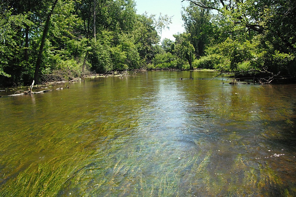
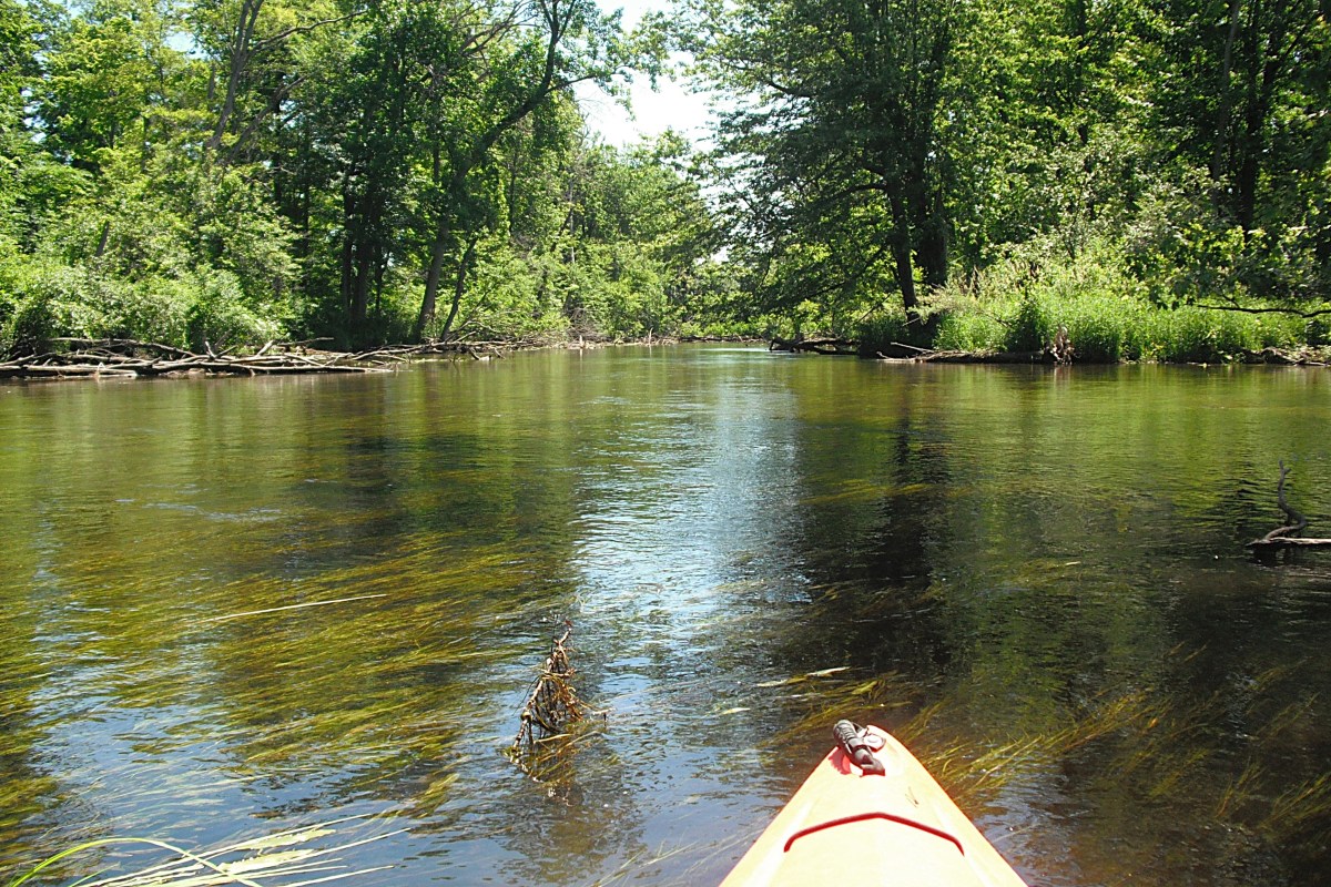
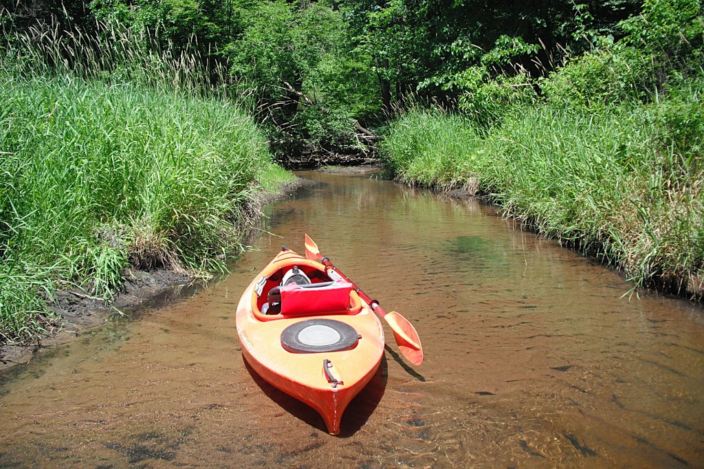
The Rocky River is not rocky in this stretch of the river. The bottom is mostly sand and gravel with mud along much of the shoreline. Consequently, it’s not easy to find a good spot to pull up on the riverbank to take a break. The clear river runs thirty to fifty feet wide and ranges in depth from one to three feet.
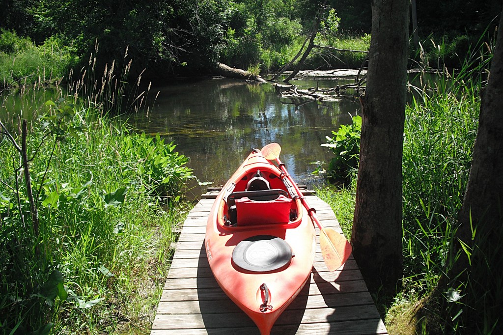
Rocky River access is northwest of Three Rivers, at the Null Road bridge. A boardwalk with a canoe/kayak slide is on the north side of the road, on the west side of the river.
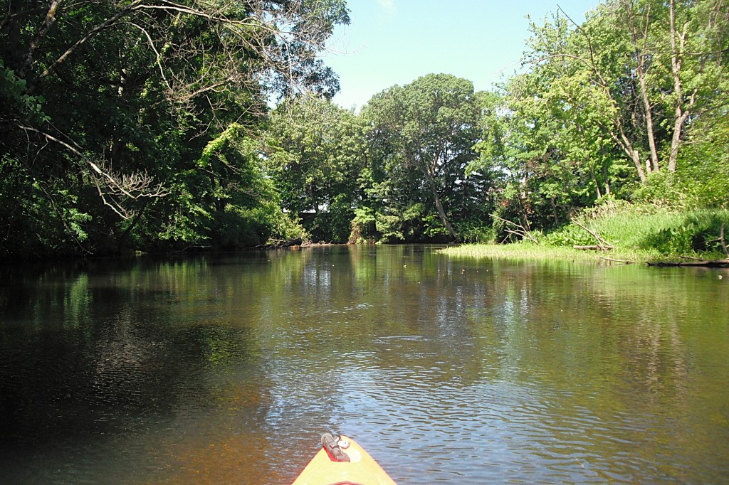
There are a few waterfront homes on the shore, but much of the riverbank is undeveloped. The river current is slow to moderate.
The wooded river corridor makes for a pleasant scenic paddle. Fallen trees will require some maneuvering. If you possess basic paddling skills, then you should have no problems.
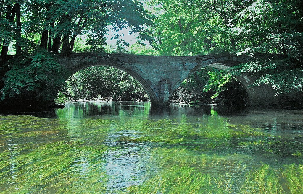
The old Cowling Road bridge still spans the river. It was built in 1904 and is no longer in use.
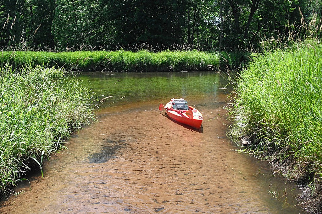
I paddled into the shallow Armalege Drain for a lunch break. I took advantage of a three foot deep hole off the drain mouth and went for a dip in the cool waters of the river.
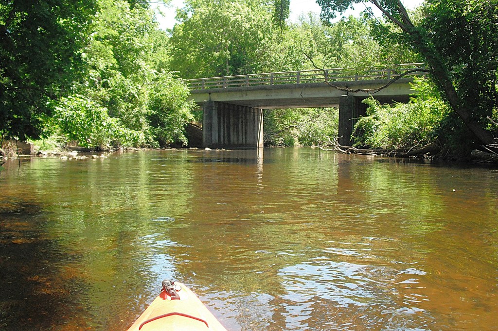
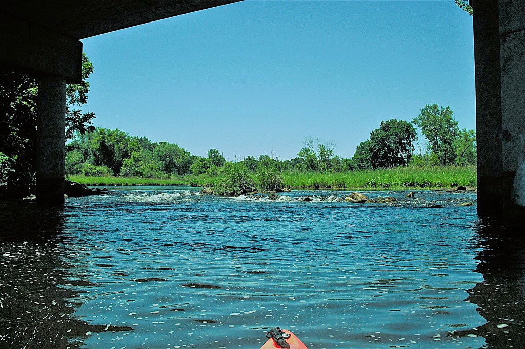
After passing under the US131 bridge and the Hoffman Street bridge, the river flows through open country with a few trees.

There is a small Class I rapids at the Moore Street bridge.
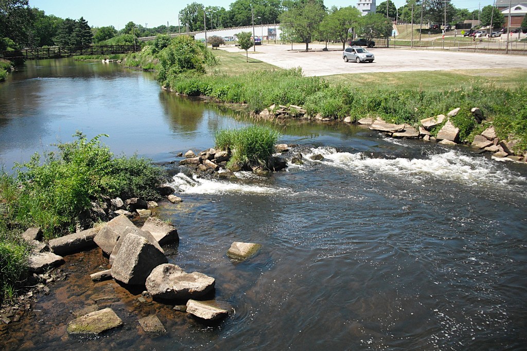
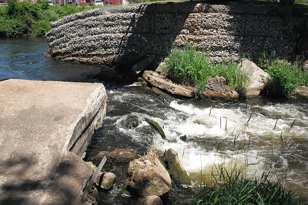
There are Class I and Class II rapids in downtown Three Rivers. Before starting a trip, I recommend viewing the rapids and formulating a plan. Portaging is an option. Always paddle within your limits and experience level.
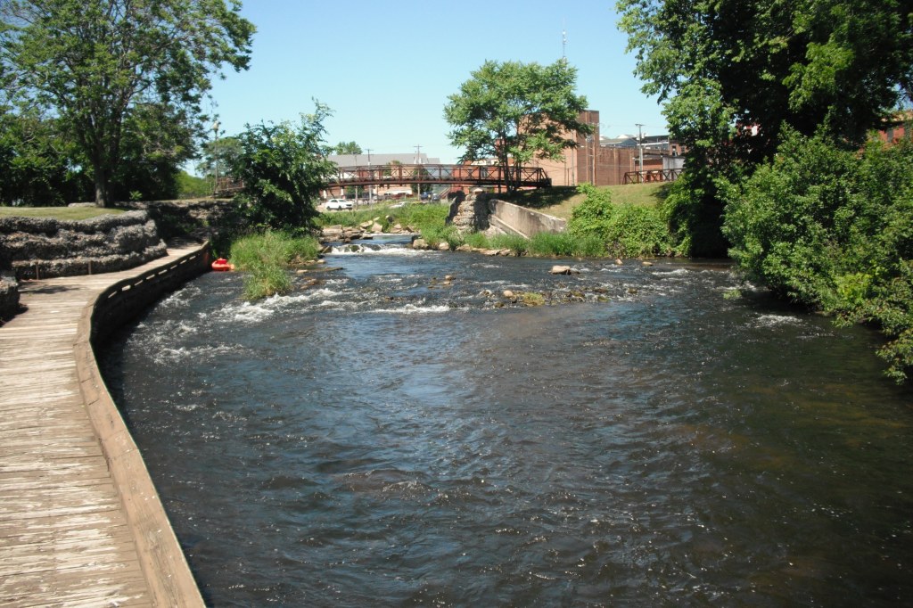
Memory Isle and Memory Isle Park are inside the Three Rivers city limits. The rapids are immediately downstream from Memory Isle. The rapids are the result of a dam failure and washout back in 1992. If you are going to portage the rapids, then take the channel on the right side of the island. Pull up on the mainland shore. The portage will be obvious. There is no handy place to put your kayak back in the water after portaging. This looked like the best spot. If I remember correctly, the wooden walkway is about three feet above the level of the river.
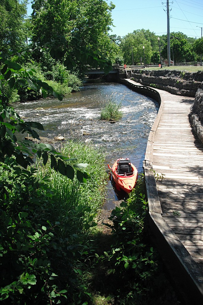
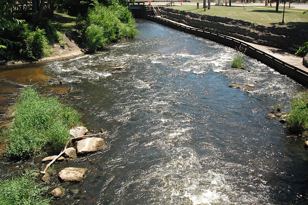
Go to the left side of the island if you intend to run the rapids. The rapids can be treacherous, so make your choice wisely. In the photo, compare the size of the rapids to the size of the auto in the parking lot.
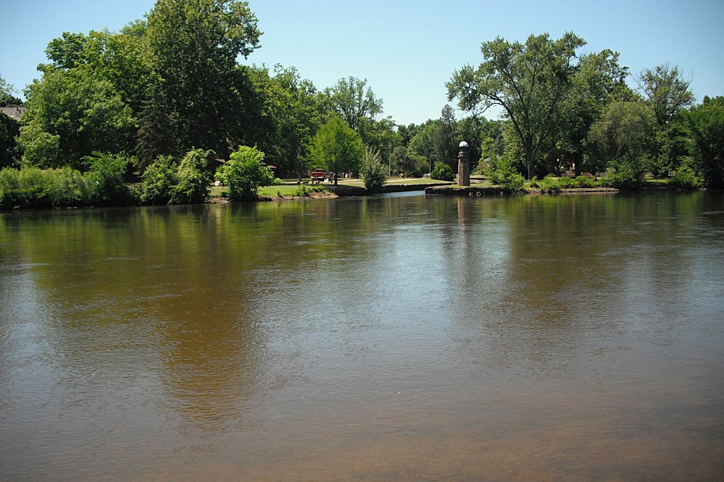
Downstream from the rapids, the Rocky River flows into the St. Joseph River at Scidmore Park. Directly across the St. Joe River from the mouth of the Rocky River is the Conservation Park boat landing, marking the end of the trip.