The Pottawatomi Marsh lies within Saugatuck and Manlius Townships, between New Richmond and Douglas in western Allegan County. The Kalamazoo River flows through the north end of the wetland. The Morrison Bayou branches off the river in the northeast corner of the marsh and rejoins the river in the southwest corner of the marsh, creating a circle tour for kayakers.

I’ll be the first to admit that parts of this trip can be monotonous. Some boaters may find that kayaking long distances through swampy terrain is boring. I found that the scenery of the marsh was in sharp contrast to the geography of most of my trips. I enjoyed the difference.
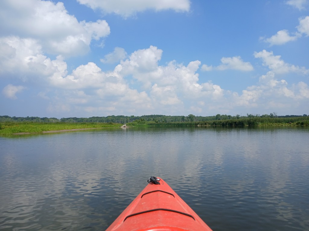
Throughout most of the circle tour, the Pottawatomi Marsh is treeless. Skeletons of dead trees are scattered around the wetland. The shoreline is mostly cattails, grasses, lily pads, and brush. Two areas of wooded riverbank are at the northeast and the northwest corners of the circle tour. The water clarity of the swamp is mostly cloudy. It’s easy to run aground on the many sandbars if you aren’t paying attention. Places to get out of your kayak and take a break are limited and dependent on water level. The current ranges from slow to moderate. I’m an old fart in my early seventies and I had no problem navigating against the current. Remember, the last half of the circle tour is downstream. It’s somewhat easier paddling.
Waterfowl constitutes most of the wildlife in the Pottawatomi Marsh: ducks, geese, herons, and snowy egrets. Birds of prey soared overhead, but they were too far away for me to identify.
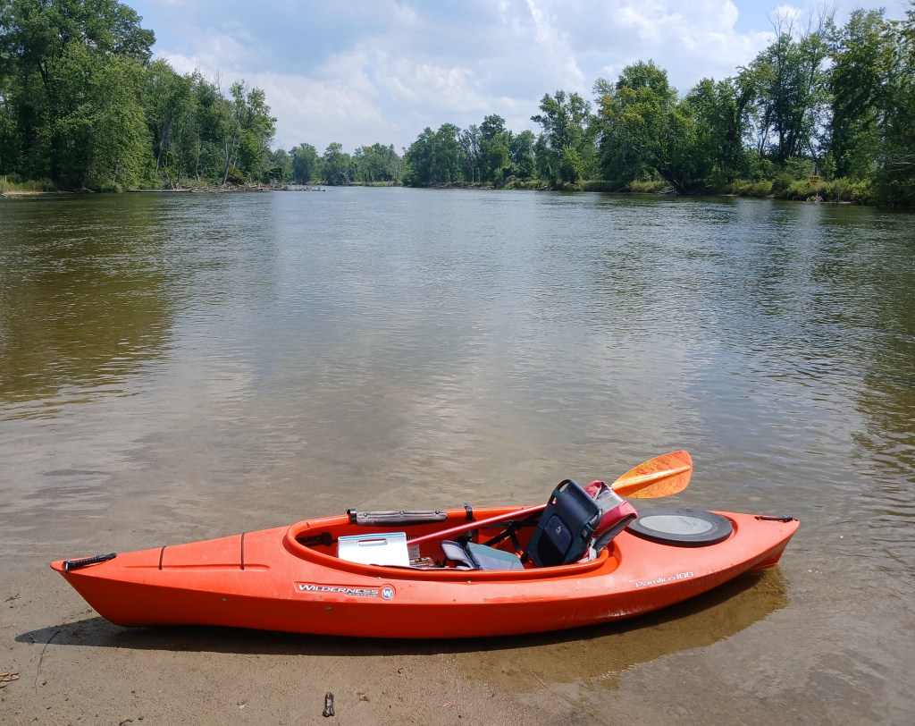
The boat landing for this trip is the MDNR Hacklander Landing. The entrance to this Kalamazoo River access is at the intersection of 130th Avenue, Riverside Road, and 63rd Street. The landing features a concrete boat ramp, a dock, and a vault toilet. A very short channel leads to the river.

The Kalamazoo River and the Morrison Bayou join together at the landing. Since this is a circle tour, it doesn’t matter which waterway a kayaker chooses to start on. Both choices cover the same water, only in different directions. Both trips head upstream from the landing. I arbitrarily chose to start out on the Morrison Bayou.

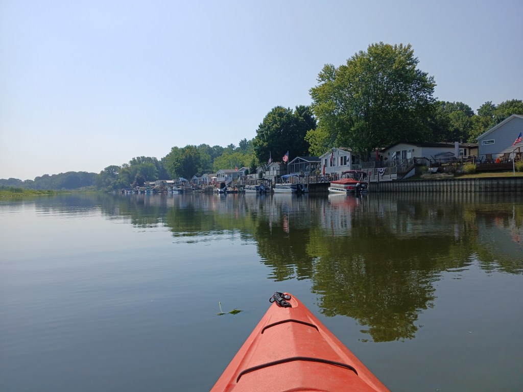
Shortly after leaving the landing, the south riverbank is occupied by the Deep Harbor Marina and the Riverside Estates Mobile Home Community.
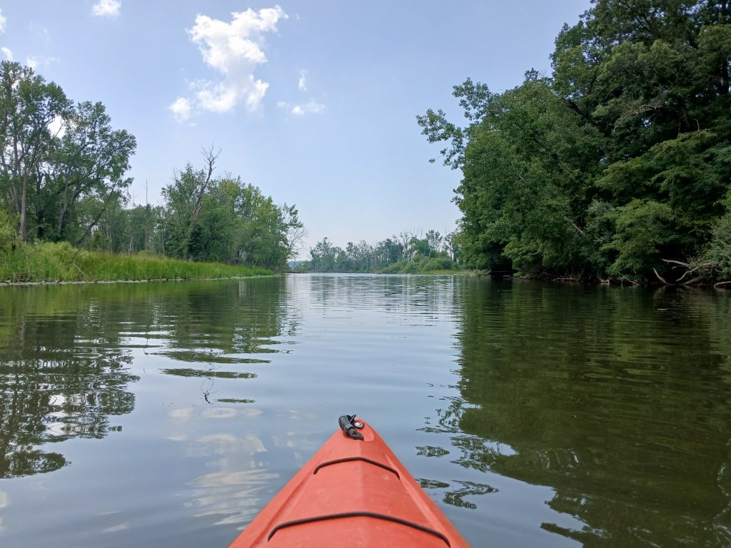
Continuing upstream, the bayou snakes its way through the marsh.
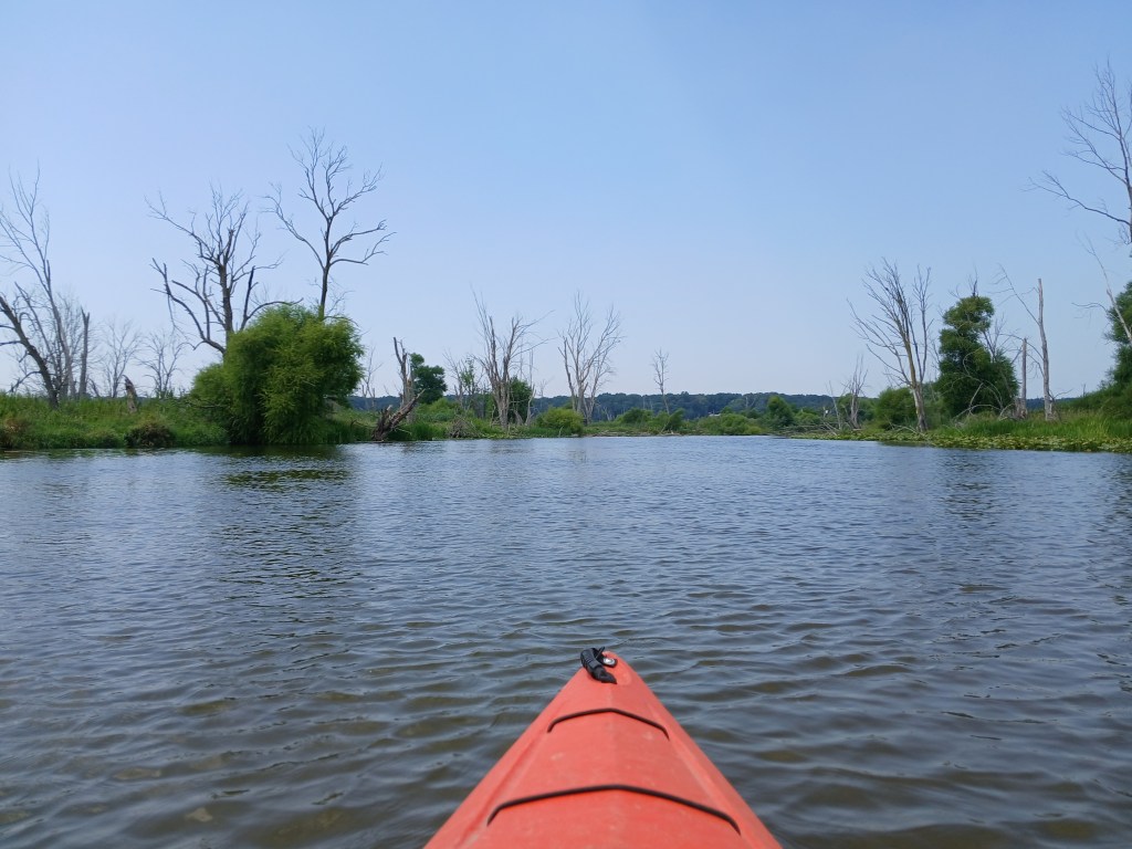
Trees in the distance indicate that the Kalamazoo River is getting closer.

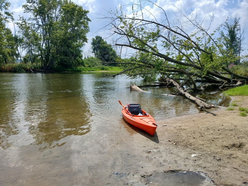
Just before I turned west (left) from the Morrison Bayou to the Kalamazoo River, a conveniently located sandbar offered a place to stop for an extended break. This is the last chance to get out of your kayak until the boat landing.
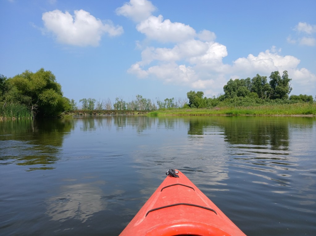
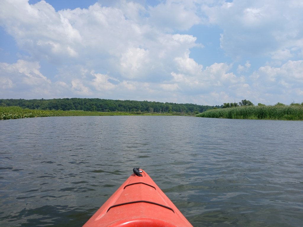
A look upstream at the Kalamazoo River:
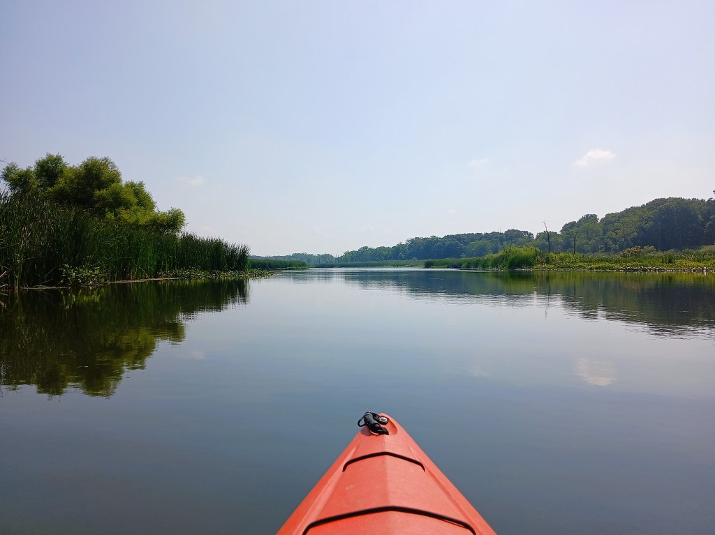
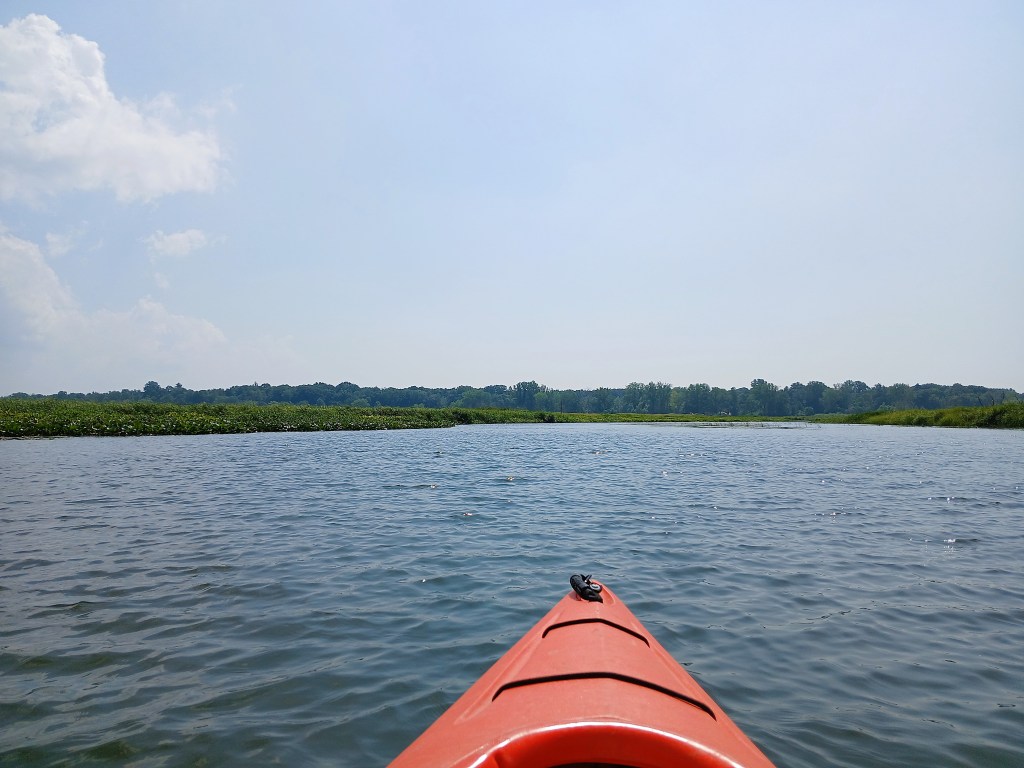
A view downstream at the Morrison Bayou:
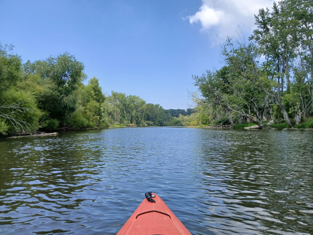
I felt rejuvenated after the break and paddled with renewed energy. The wooded riverbanks were a welcome change of scenery.
When the shoreline transitions from woods to marsh, the river splits in two around an island. Take the channel on the right. The left channel is wider with less trees in the water, but it is blocked by fallen trees farther downstream. How do I know all this? I went the wrong way!
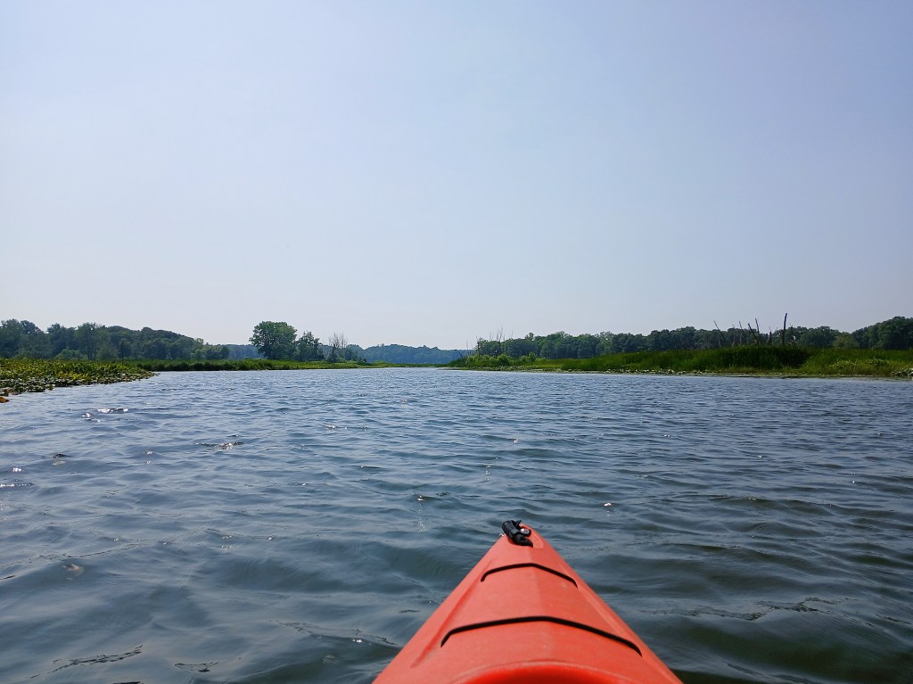
After a series of curves, the Kalamazoo heads west on the north side of the marsh.
The river changes directions and flows south along a wooded shoreline.

The scenery returns to marshland.
When the Morrison Bayou joins the Kalamazoo River, the boat landing is on the south riverbank, marking the end of the trip. It’s difficult to see the bayou and the landing from a distance. The bayou is on the left and the landing is at the narrower channel that’s just left of center in the photo:
A circle tour is a great way to see the Pottawatomi Marsh. If you’re looking for a different kayaking experience, then this wetland is for you.