This trip on the Portage River begins at the south end of Portage Lake, at the MDNR public access on Silver Street. Paddle east from the landing to the river mouth at the southeast corner of the lake.
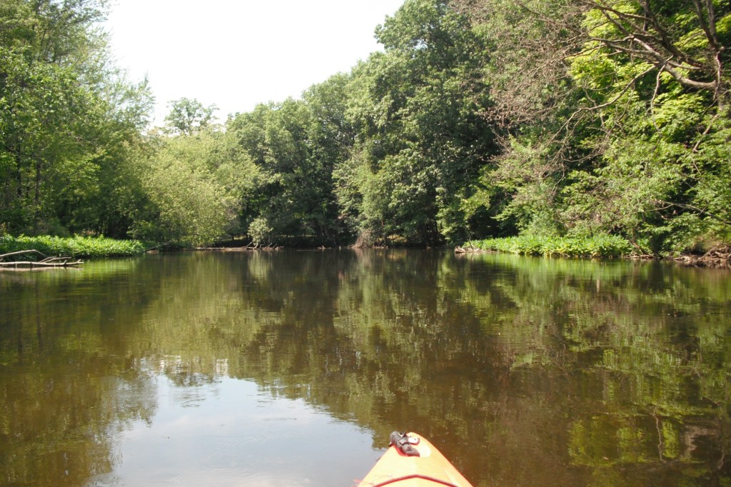
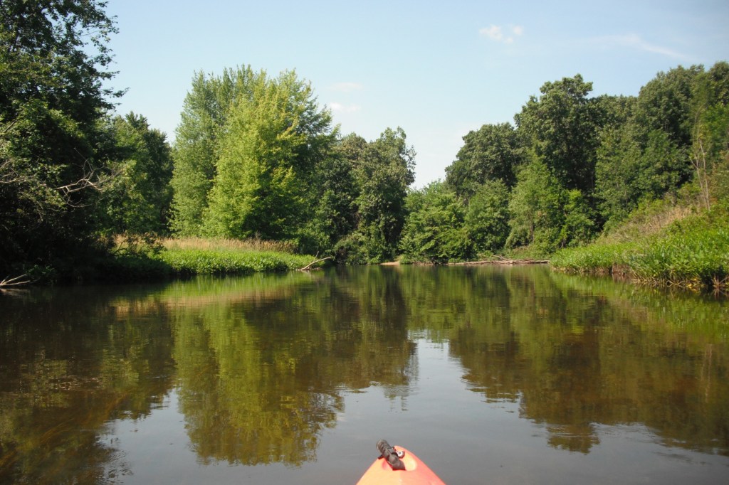
The river flows through agricultural land and farmers use the river as a water source for irrigation. The river corridor is wooded. There are a few waterfront homes, but the riverbanks are mostly undeveloped.
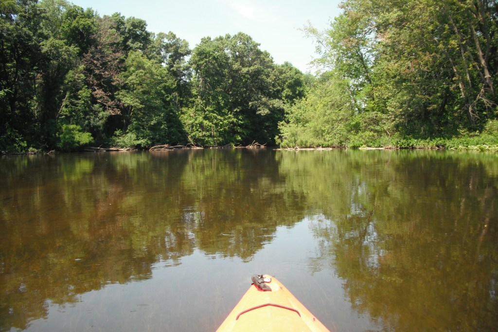
The current is slow and the depth ranges from one to three feet. The river is mostly clear over a sand and gravel bottom. The solid bottom extends to much of the shoreline, making it easy to find a good spot to get out of your kayak and take a break.
For the first part of the trip, from Portage Lake to Parkville, the river is wide and mostly clear of obstructions. It’s easy to paddle.
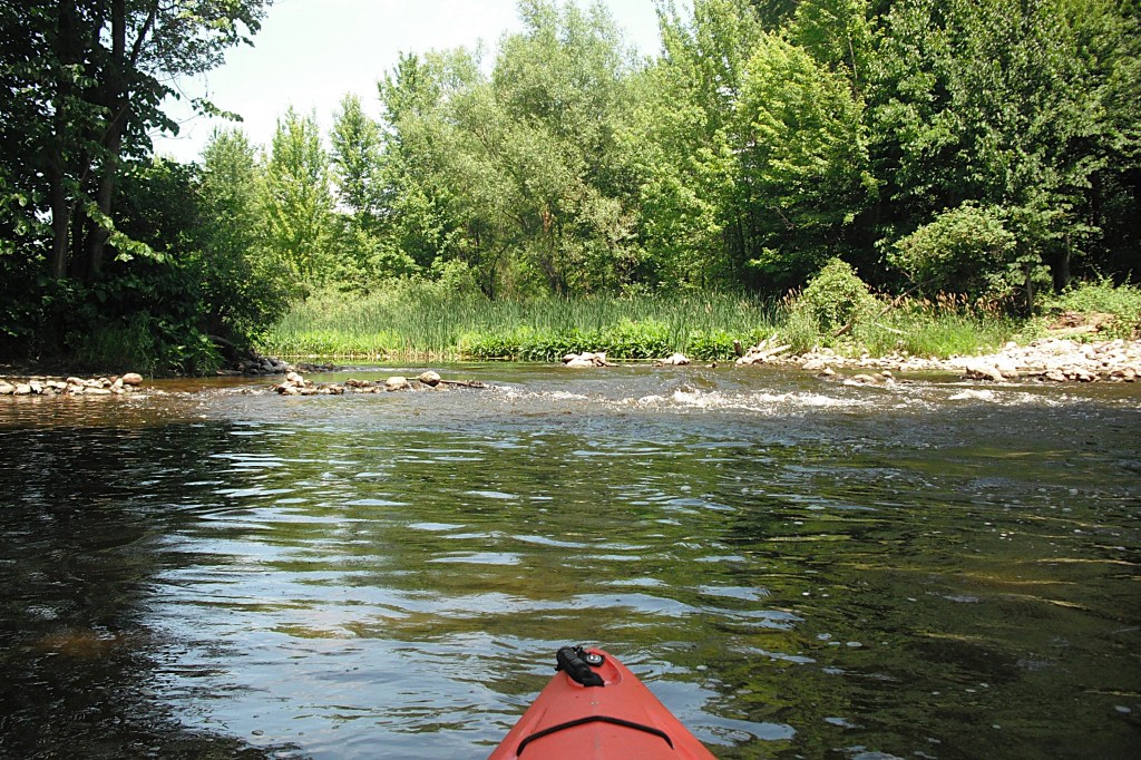
In Parkville, the remnants of an old dam has created a small rapids. The dam diverted flow to a millrace which is still visible. The millrace powered a grain mill. The mill was in operation from 1909 to 1929. Sadly, there isn’t much left of this historic landmark.
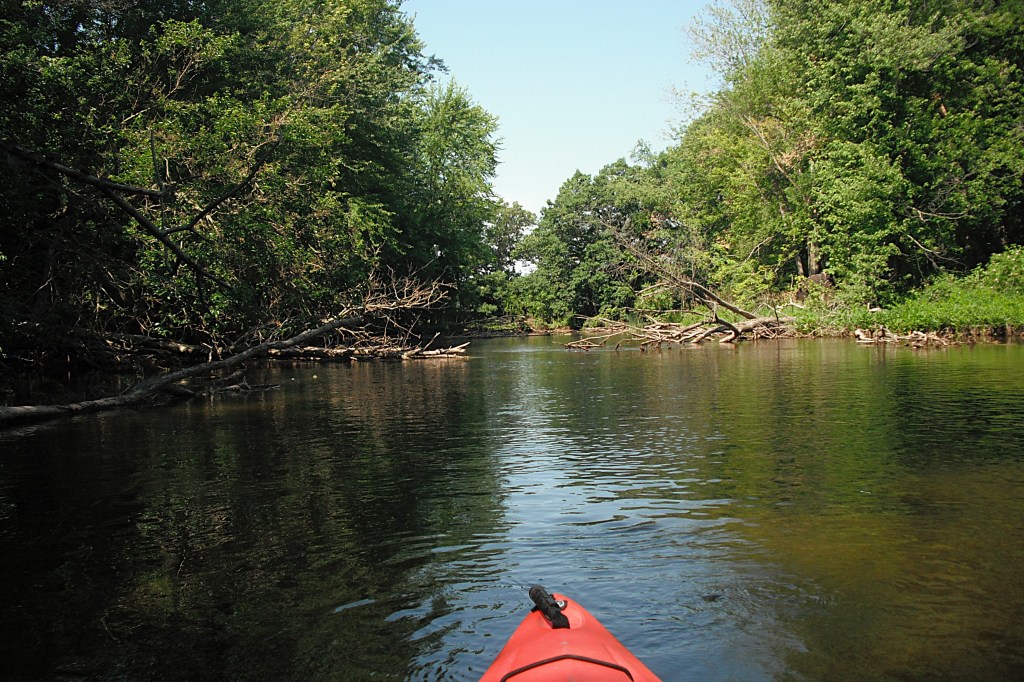
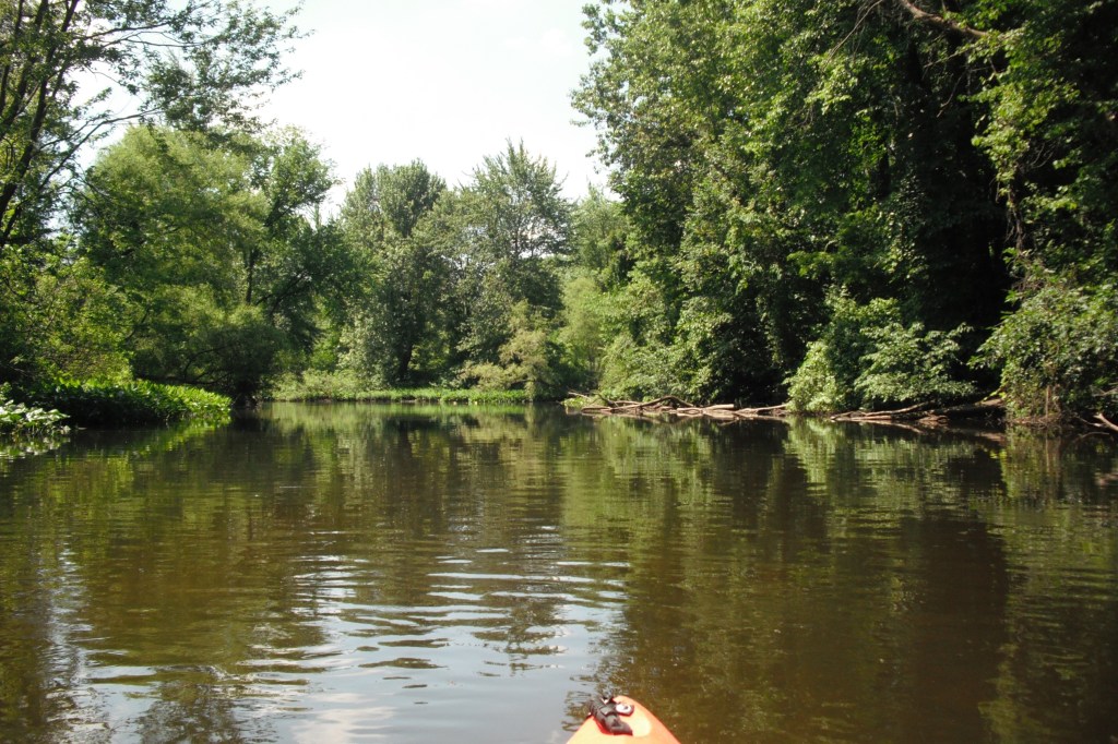
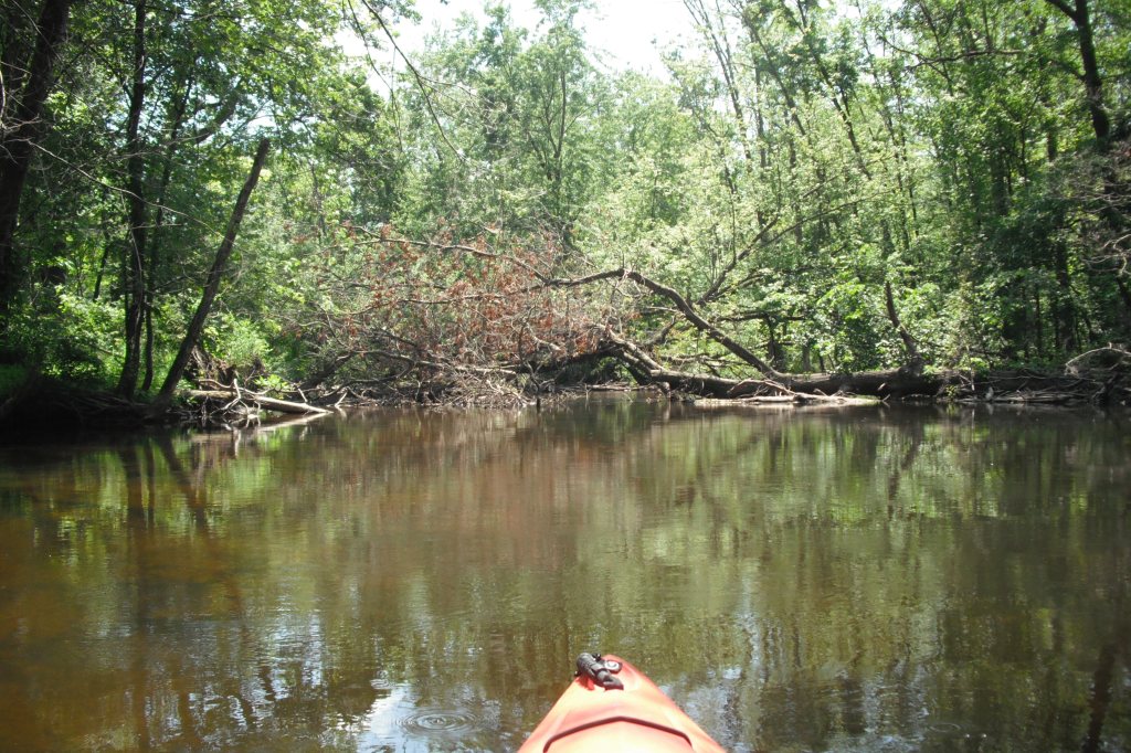
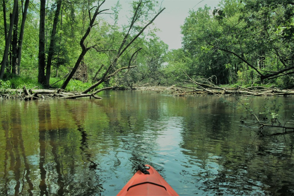
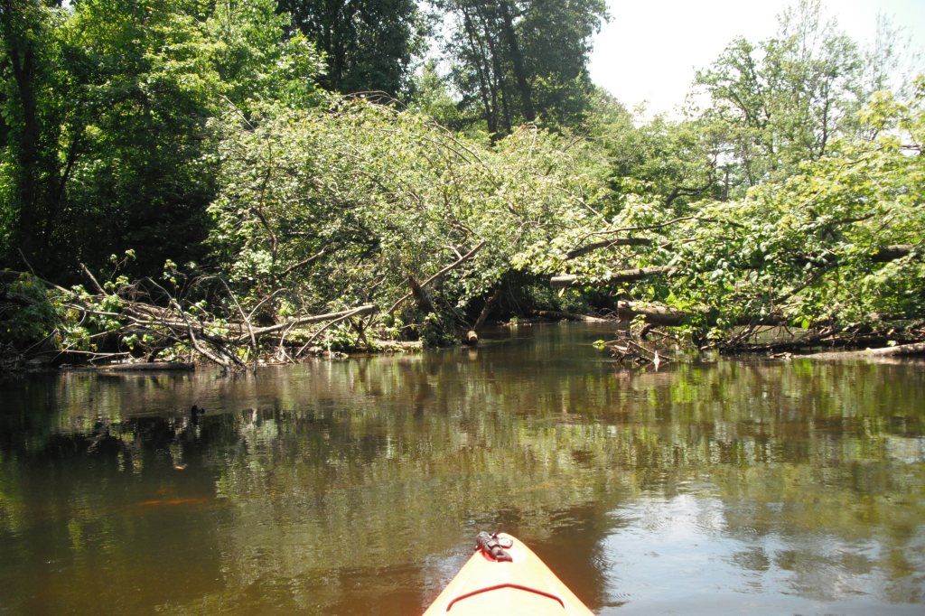
Between Parkville and North Fisher Lake Road, there are a lot of fallen trees in the river. Maneuvering is required. There is always a way to get through without portaging.
The next bridge past the Parkville Road bridge is the North Fisher Lake Road bridge. It marks the end of the trip. The small landing is on the north side of the river, on the east side of the bridge. Parking is on the side of the road. I’m sure you’ll find this stretch of the Portage River to be a pleasure to paddle!