MDNR MORROW LAKE ACCESS SITE TO COMSTOCK MERRILL PARK
This relatively short water trail takes kayakers on a tour of a portion of Morrow Lake. There is a portage at Morrow Dam followed by a short trip down the Kalamazoo River.
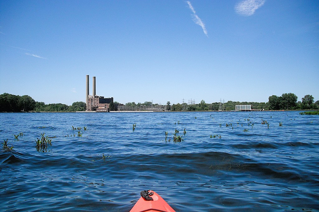
Morrow Lake was formed by the construction of Morrow Dam on the Kalamazoo River in 1941. The lake was a source of cooling water for a power plant at the dam. The plant closed in 1983 and a hydro-electric power plant was built. That plant is still in operation.
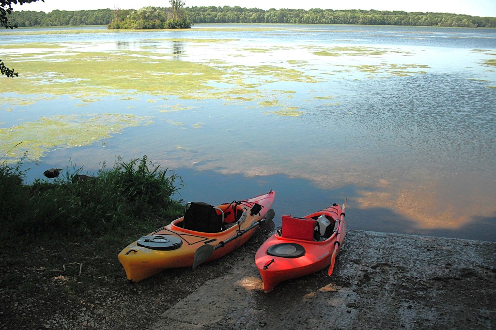
The lake was drained in 2019 for dam repair. It was refilled in 2021. Since the refill, some areas of the lake that were previously open water are now covered with vegetation. Floating mats of algae are scattered around the lake.
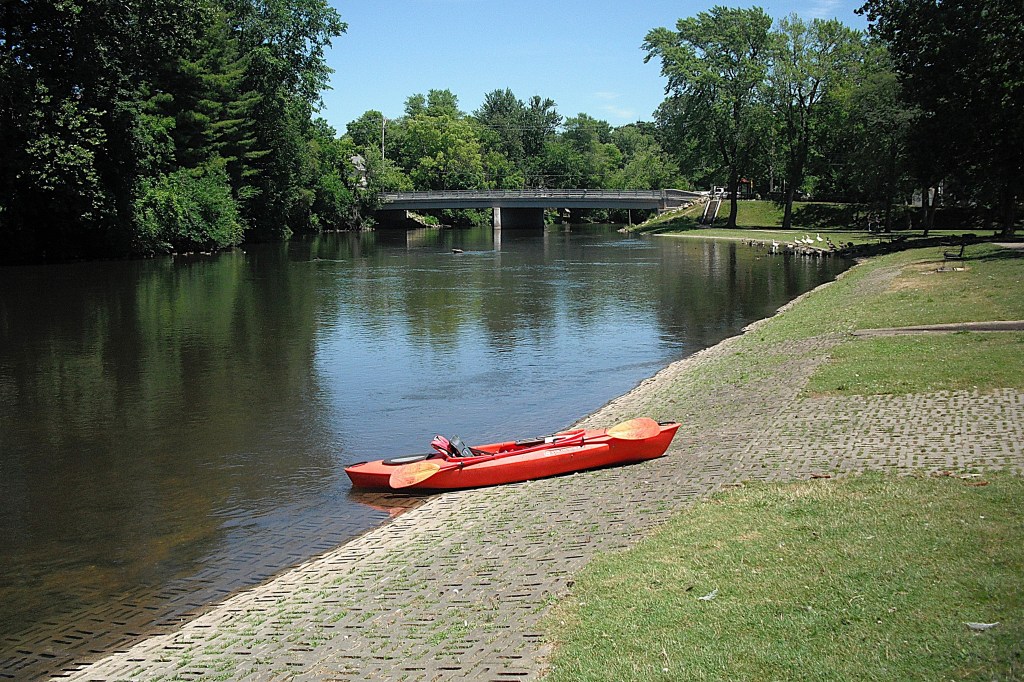
The trip starts at the MDNR Morrow Lake Access Site. Take Rosemont Road south from highway M96, about halfway between Comstock and Galesburg. The boat landing is at the end of Rosemont Road, on Plaza Avenue.
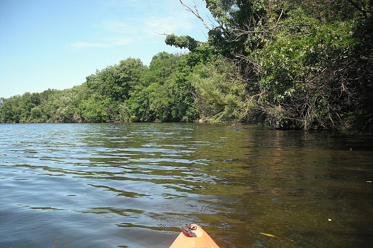
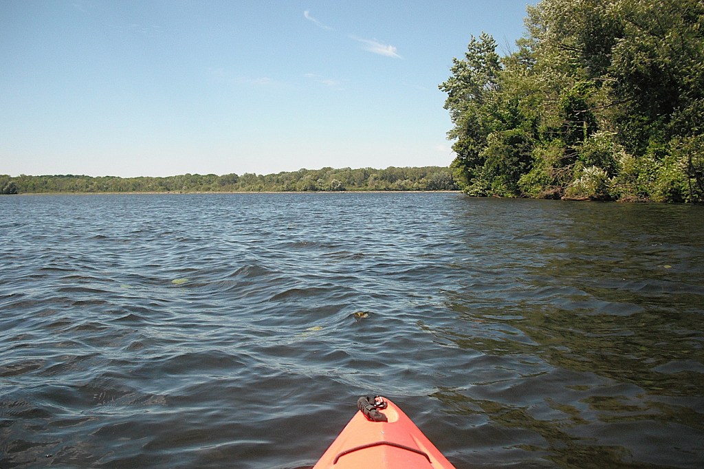
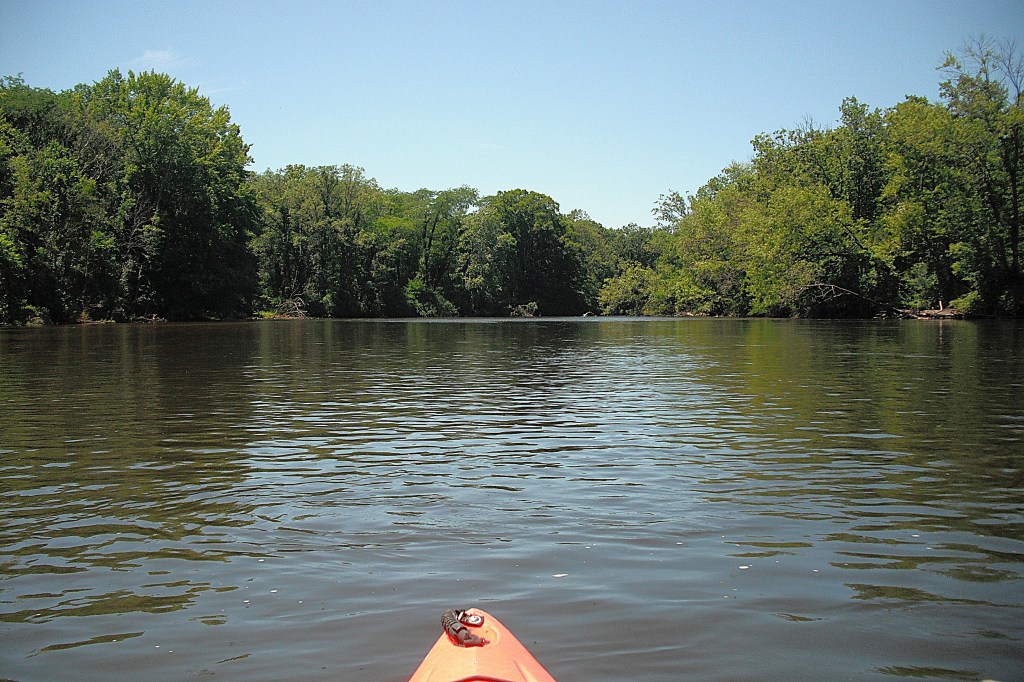
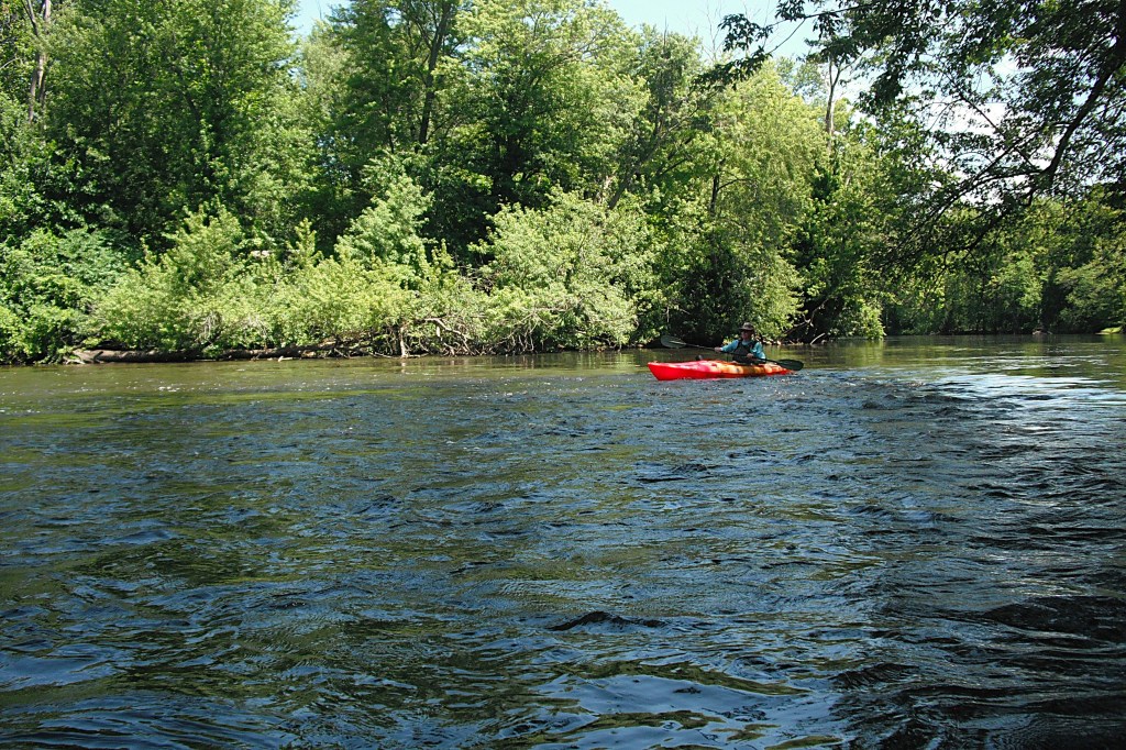
The water trail follows the north shore of Morrow Lake west to the dam. The wooded shoreline makes for a scenic paddle.
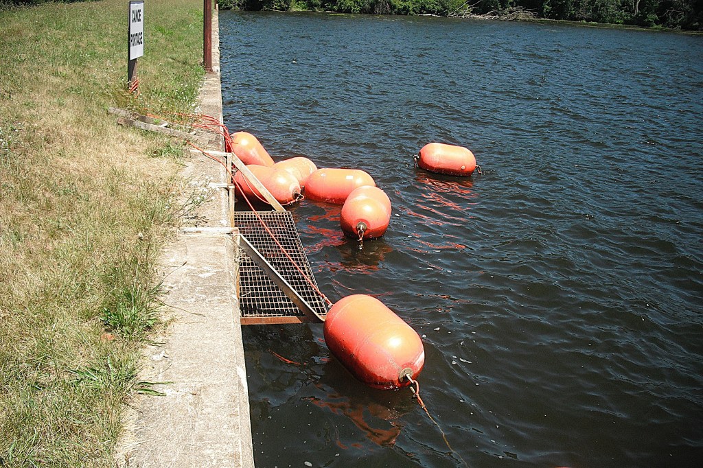
At the dam, there is a concrete seawall extending north from the hydro-electric power plant. Next to a “Canoe Portage” sign, there is a steel platform hanging from the wall that is suspended above the water. Slide out of your kayak onto the platform, stand up, and lift your kayak over the wall. I thought the process was rather awkward, almost difficult. I still have the imprint of that grate on my butt.
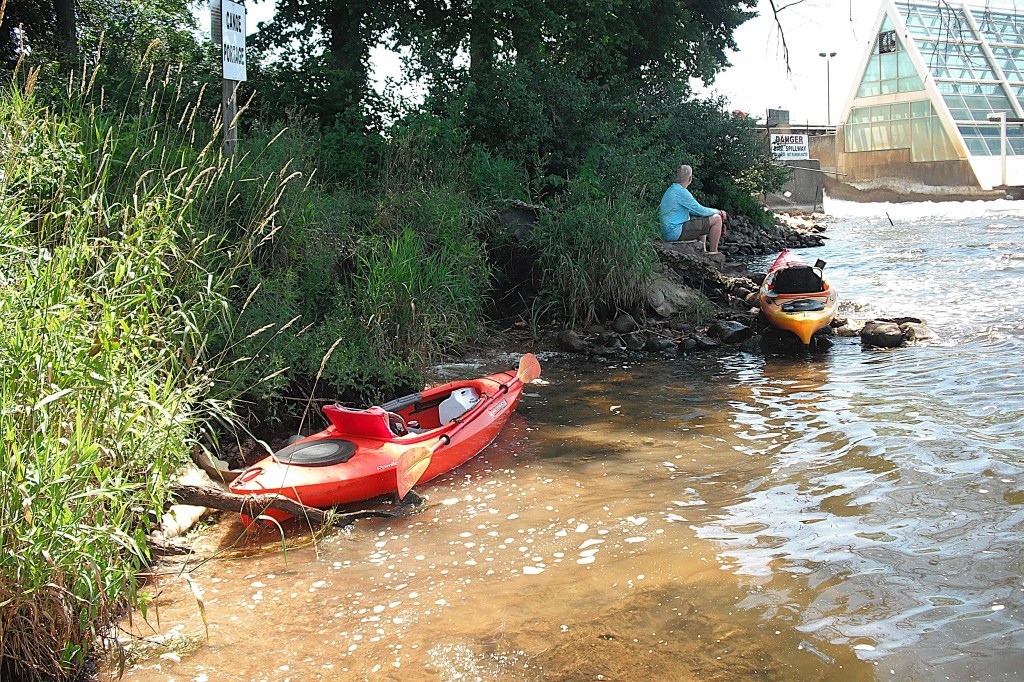
West of the wall, at the bottom of an embankment, there is a short trail through a small wooded area. At the end of the trail, concrete steps lead down to the river. At the bottom of the steps, rough water from the spillway can be expected. There is a better place to get in your kayak that is slightly downstream from the steps.
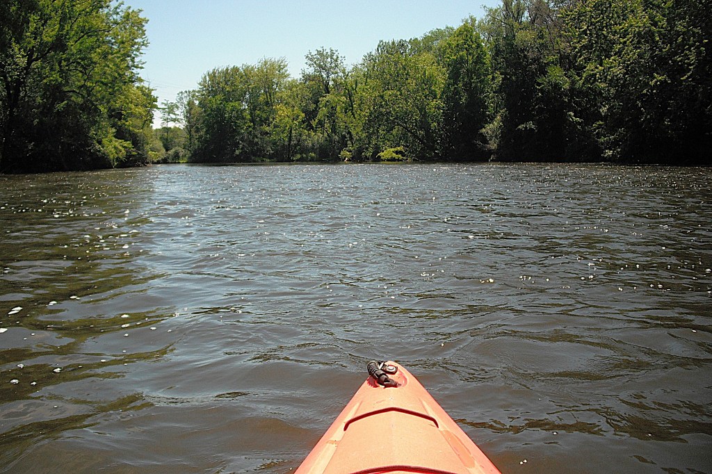
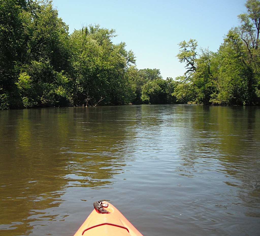
The river flows west from the dam to Merrill Park. The water depth varies from a foot deep to over six feet deep. The current is moderate to fast over a sand, gravel, and rock bottom.
Heading downstream from the dam, there is a mid-river island and a power plant access bridge. The river is navigable on both sides of the island. Past the bridge, there are two sections of riffled fast water.
At the end of a long straight stretch of the river, there is another island.
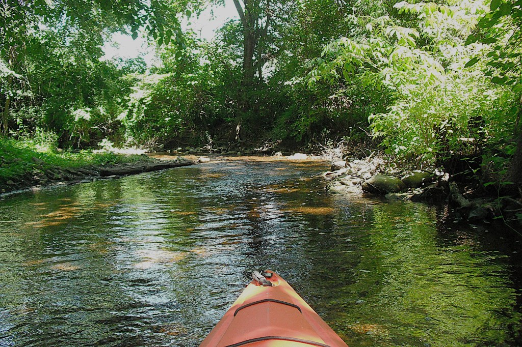
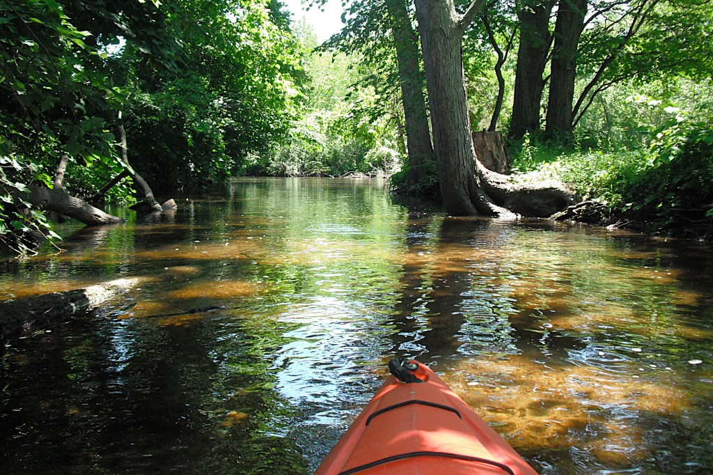
Comstock Creek flows into the river on the north side of the island. The creek is only navigable for a short distance, but it’s worth checking out.
Between the island and the River Street bridge, there is a small rapids on the south half of the river.
The trip ends at Merrill Park, downstream from the River Street bridge, on the south side of the river. The park is south of Highway M96, on the corner of River Street and Comstock Avenue.