This stretch of the Kalamazoo River is not for everyone. There are four sets of class I and class II rapids. These include whitewater and standing waves. If you are a beginner or an inexperienced paddler and you are unsure of your ability to handle rapids, then wait until you gain more experience before you tackle this portion of the Kalamazoo. These rapids are no joke.
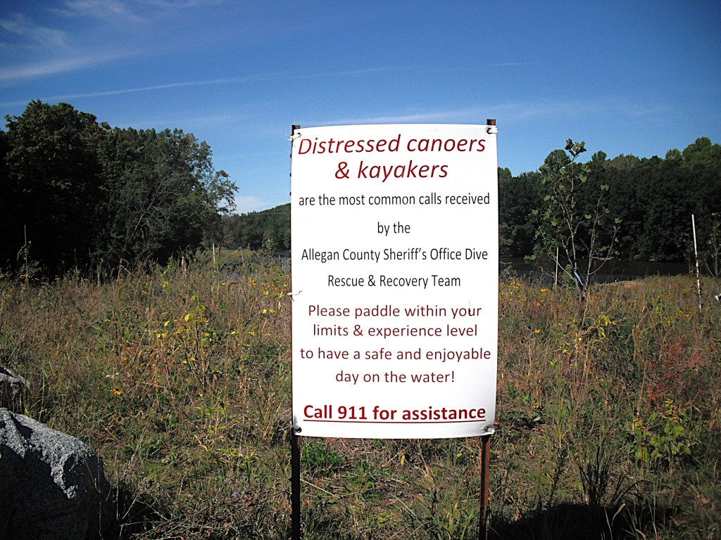
I have kayaked these rapids twice and came out smelling like a rose both times. Luck was with me. Veteran paddlers with previous experience in rapids will have no problems. In the rapids, everything happens at an accelerated rate, so you must have fast reactions and be able to make sound decisions instantly.
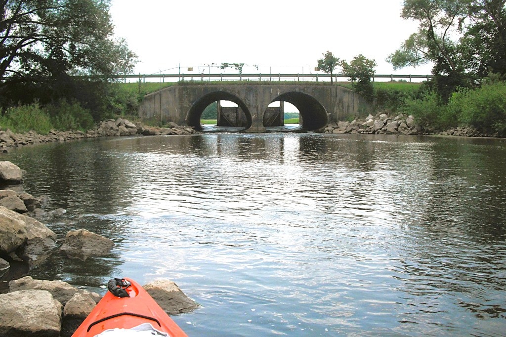
If you are unsure about your ability to handle rapids, a scouting trip on dry land might be helpful. I was a little apprehensive about this voyage, so I decided to take a scouting trip. What could it hurt? Rapids number one can be seen from the Farmer Street bridge in Otsego. The other three rapids are west of Otsego. Rapids number two can be viewed from the highway M89 bridge deck. To see rapids number three, hike west from a small parking area at the end of 19th Street, on the north side of the river. There is a river access site at rapids number four on River Road, on the south side of the river.
The degree of difficulty of the rapids varies with the water level of the river. Higher water means greater difficulty. My first trip took place in mid-August of 2021 and the river level was higher than normal seasonal flow. Even though the river level was lower during my dry land reconnaissance, scouting still helped me to prepare for the rapids.
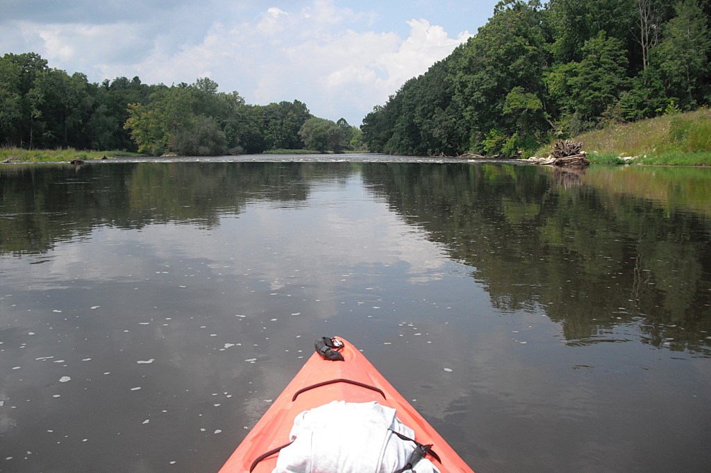
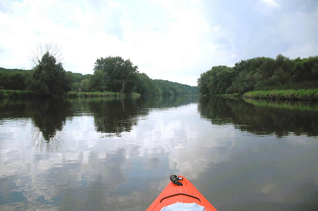
The voyage begins in the city of Otsego. There is a parking area on the east side of Farmer Street, north of highway M89. It is on the south side of the river. Follow the paved river walk east to a dock with a launch ramp.
Before you push off from the ramp, make sure that you are ready for action. The first set of rapids comes up very quickly. It’s right after you pass under the Farmer Street bridge and it spans the river from bank to bank.
If you position your boat in the middle of the river, then you should have no problem with these rapids. Large rocks just below the surface of the water can be a concern if you aren’t paying attention. The rapids ends before you approach the North Street bridge.
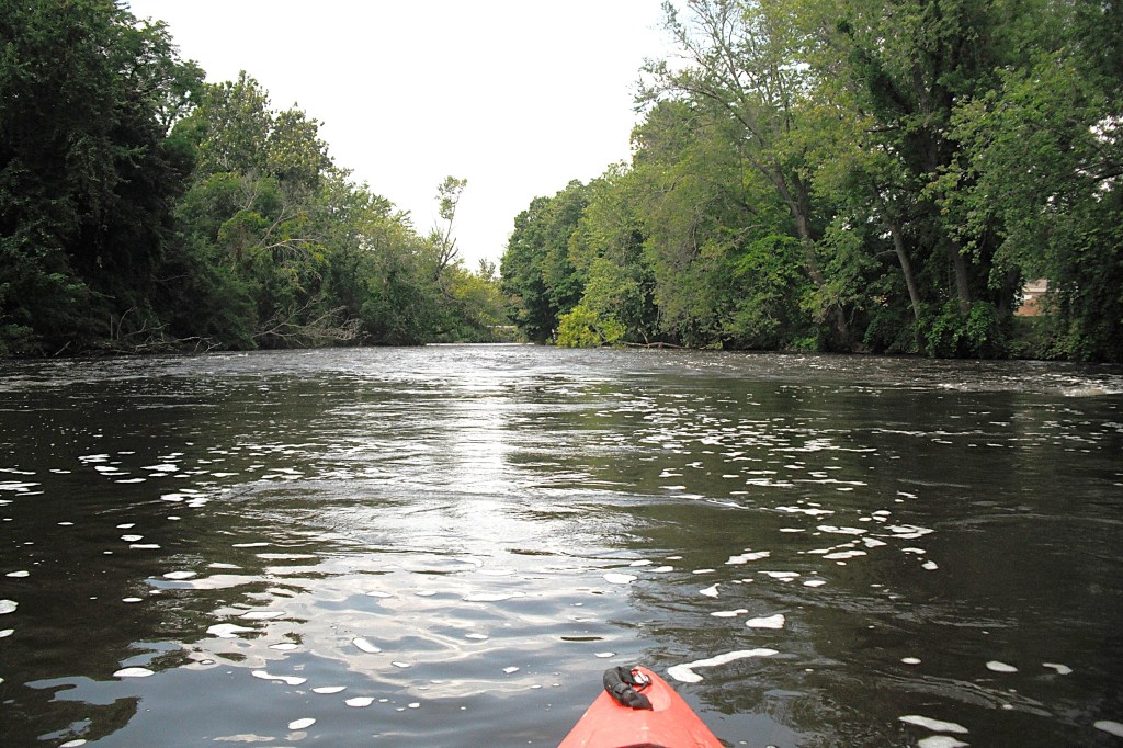
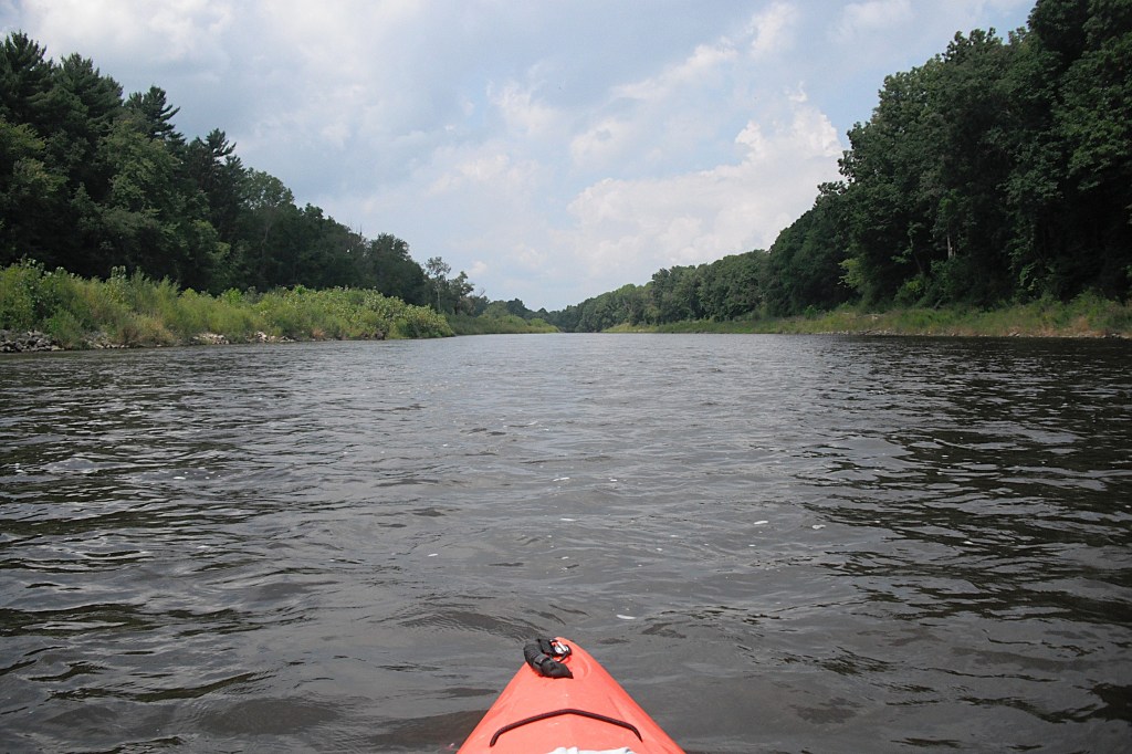
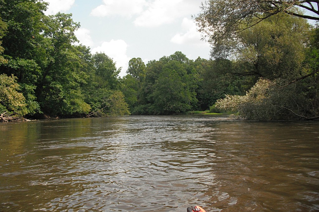
Between the North Street bridge and the M89 bridge, the river moves at a relaxing pace. The shoreline is wooded and the waterfront is mostly undeveloped.
As you approach the M89 bridge, prepare yourself for the second set of rapids, which begins immediately after you cross under the bridge.
I positioned my kayak in the middle of the river, between the two bridge supports. After you pass under the bridge, stay away from the two wing dams on your left.
This rapids will require some maneuvering to keep out of trouble. The river makes a right turn and the rapids will try to push your kayak toward the left bank, so paddle accordingly. Downstream from the right turn, the river settles down and you can breathe easier.
Continuing downstream, a boat landing is on the south side of the river. The vehicle entrance for the landing is on Jefferson Road, across the street from the Pine Creek Impoundment.
The west end of Jefferson Road serves as a dam of Pine Creek, forming the impoundment. Downstream from the dam, Pine Creek flows through two culverts under Jefferson Road and continues on to the Kalamazoo River. I paddled up Pine Creek from the river to view the spillway of the dam and take a short break. The gates were wide open and the lake had been drained.
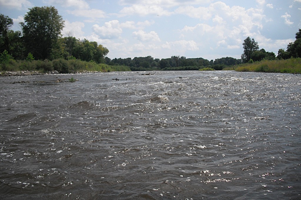
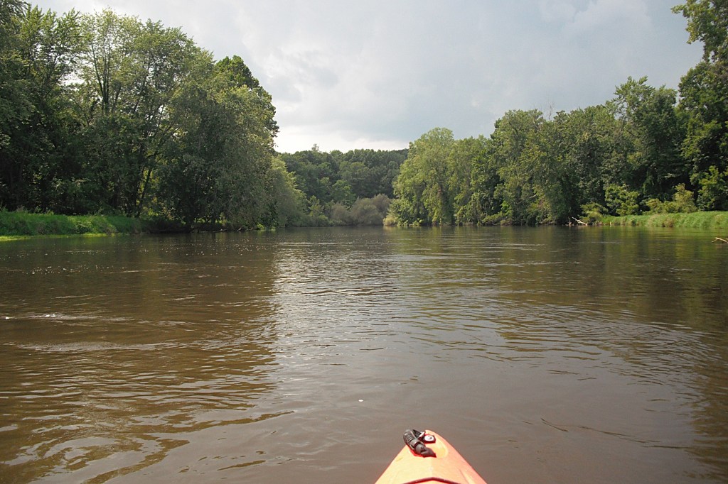
The mouth of Pine Creek is a good spot to begin preparing for the third set of rapids. This rapids is the longest and the most difficult. I positioned my kayak on the south (left) side of the river, fairly close to the river bank. Some of the standing waves are quite big and you can’t miss all of them. Be prepared for waves breaking over the bow of your kayak. Some may wash into your cockpit if you don’t have a spray skirt. On one of my trips during high water levels, I took on a lot of water. I could hardly paddle with all that water sloshing around. I had to pull up on the riverbank and empty it out. A spray skirt would have come in handy. Lesson learned!
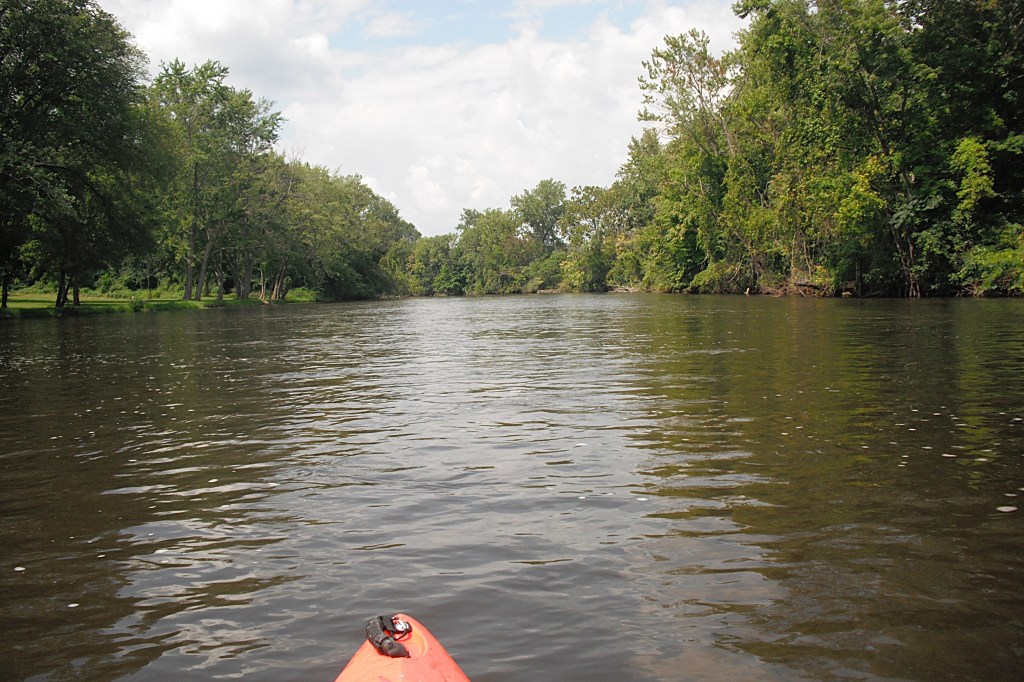
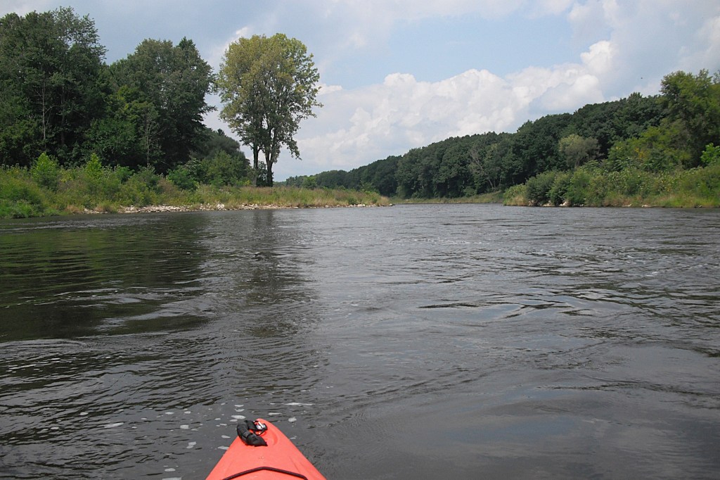
After the rapids, the river once again settles down to an easier pace. Paddling the rapids can be very intense, so it’s nice to be able to relax in between sections of whitewater.
The fourth and final set of rapids is easier than the last one. I recommend positioning your kayak in mid-river and you will come out just fine.
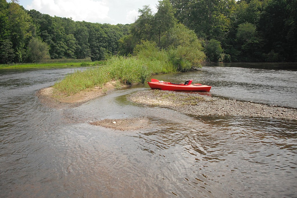
A boat landing is located on the south side of the river, at the tail end of the rapids, upstream from an island. The boat ramp is not visible from the rapids. Plan ahead and position your kayak accordingly if you plan on using this landing. The vehicle entrance to this access is on River Road. Update: The river is temporarily closed between this landing and Trowbridge Dam, so end your trip here. The river will reopen when dam removal and remediation is finished.
After the rapids, the river returns to a moderate pace. You’ll be able to enjoy the scenic woodlands that border the river.
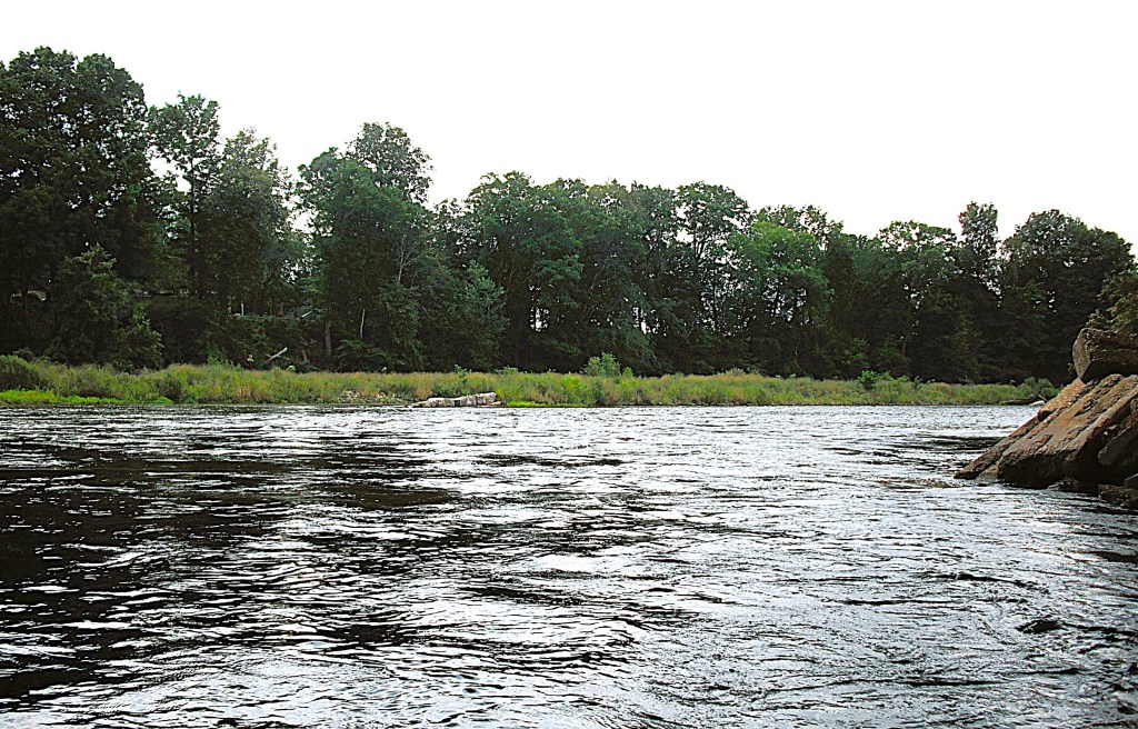
As you are heading downriver, keep an eye out for a high bluff topped with travel trailers. When you round a bend at the base of the bluff, there is a small island that’s a perfect spot for a break.
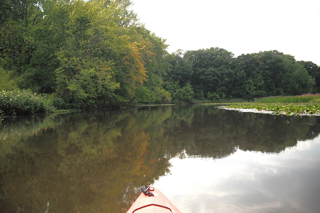
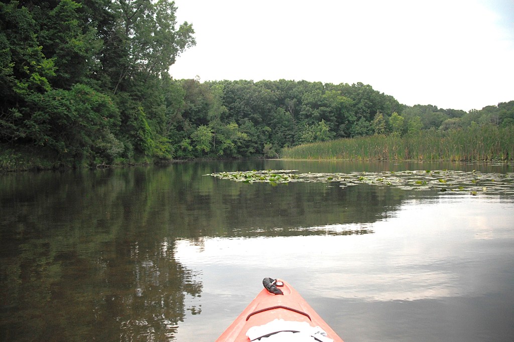
Farther downstream, there is a golf course on the bank of the river. The river widens and the current slows to a crawl at the golf course and remains that way down to Trowbridge Dam.
Just before you reach the dam, the river splits in two around a large island. The channel that is south (left) of the island is a scenic area to explore. The south channel may be too shallow to paddle during low water levels. It was easy to navigate during my trip.
A short distance downstream from the island is Trowbridge Dam. A rope with buoys spans the river above the dam. There are signs that direct you to the gravel boat ramp on the south side of the river.
The easiest way to get to the boat landing by vehicle is to head south on 26th Street from highway M89, between Otsego and Allegan. After you cross the bridge over the river, take the first gravel drive on your left. This drive will take you to a parking area and the boat landing.
The Trowbridge Dam is scheduled for removal. From what I could gather, work begins in 2025. The stretch of river between rapids number four and the Trowbridge Dam could be closed. Check with the proper authorities when you plan your trip. Update: The river is temporarily closed between rapids number four and the Trowbridge Dam. End your trip at the boat landing located on the south side of the rapids as described earlier in this post.
