ALLEGAN CITY DAM TO ECHO POINT LANDING
This trip is roughly six miles. Five and one half of those miles have little to no current. The current is slow for the first half mile. Because of the width of the Kalamazoo River and the size of Lake Allegan, kayakers can expect to be effected by wind. The combination of wind and no current means paddlers should be prepared to expend a lot of energy. If you tire easily, this trip may not be for you.
River access is at the Allegan City Dam. Head southeast on Mill District Road from its intersection with State Street and Water Street. Immediately after crossing the bridge over the old mill race, turn south. The dam and a small parking lot are at the end of the road. The shore at the boat launching area is lined with rip-rap consisting of concrete chunks and rocks. Use caution. Footing can be treacherous.
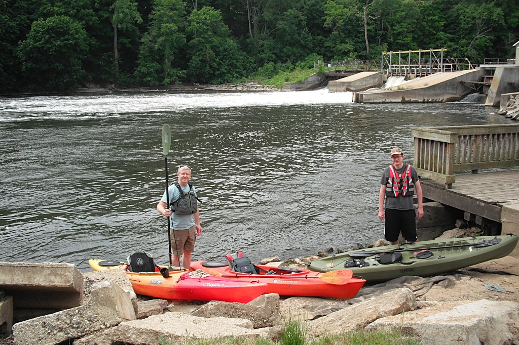
My friends, Dan and his son Tyler, joined me on this trip. Dan is a veteran paddler. This is Tyler’s first season as a kayaker and he has already proven himself to be a able paddler. We took this trip in early June of 2021 during drought conditions. The river level was low and the water was unexpectedly dirty.
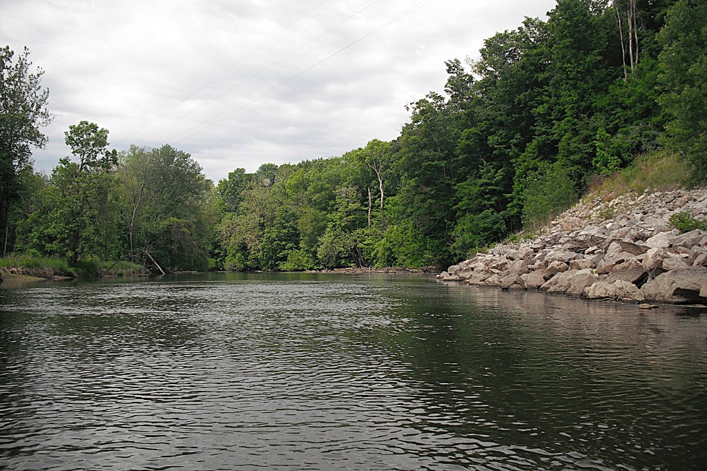
The portion of the pool below the dam that is directly downstream from the spillway is dangerously turbulent and is to be avoided. At the tail end of the pool is a exposed rocky shoal. The only way around this rocky island is a shallow rapids on the north end of it. We pulled our kayaks up on the shore of the island and walked over to the channel to investigate.
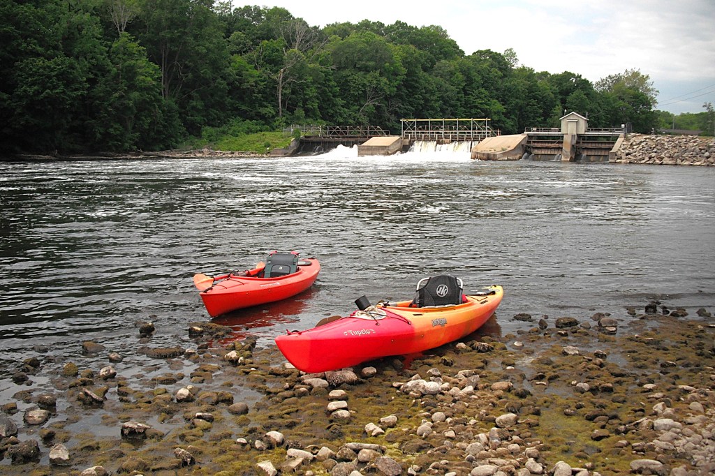
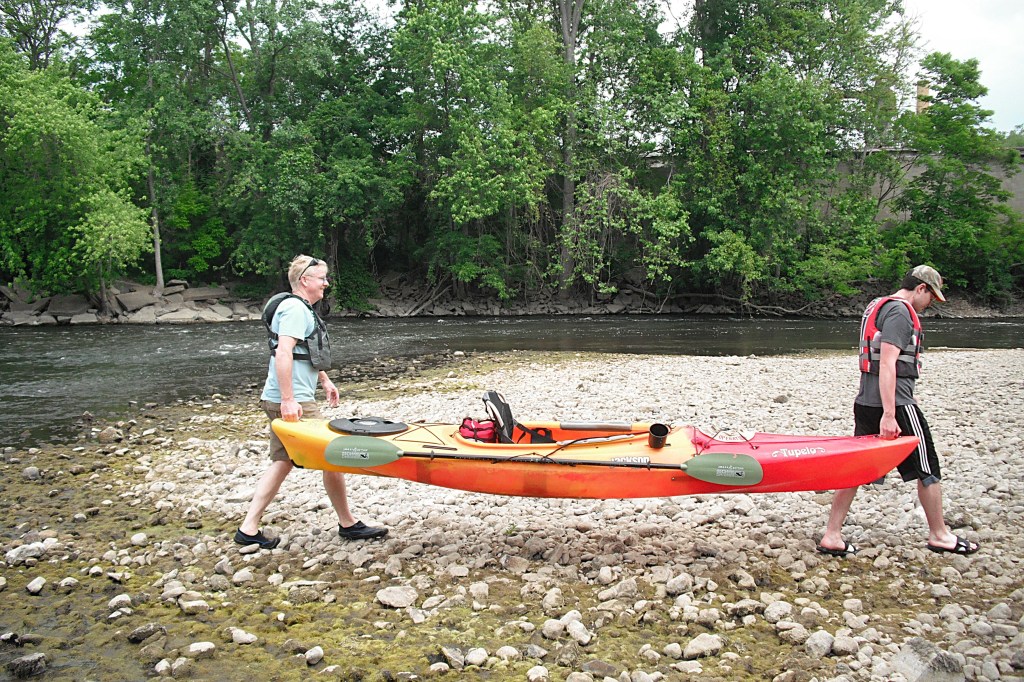
We studied the rapids and the area downstream. It looked like we would run aground in the shallow water of the rapids. The force of the strong current below the rapids looked like it would push us toward a huge block of concrete that was in the river channel. There was a submerged obstruction just underneath the surface of the water between the block and the river bank. The obstacles looked unavoidable. We decided that it was too shallow and too risky for safe passage. We portaged over the island. Paddlers with more experience and better skills may find this short stretch to be challenging. Maybe the water will be deeper when you take this trip.
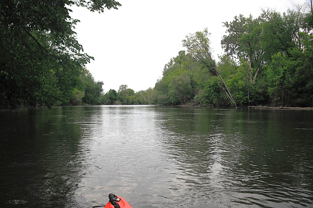
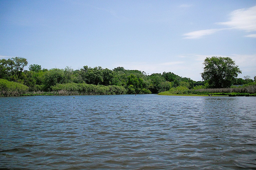
The river winds its way through a series of wide loops on its way to Lake Allegan. There are two bends on the first loop that are lined with rip-rap to prevent erosion.
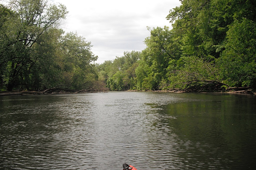
Most of the city scenery is blocked from view by the wooded river corridor.
On the north side of town, the Grand Street(M222) bridge spans the river. About a quarter mile downstream from the Grand Street bridge, Trestle Trail Park and Jaycee Park are on the south bank of the river. There is also a pedestrian bridge over the river. The bridge was formerly a New York Central Railroad swing bridge.
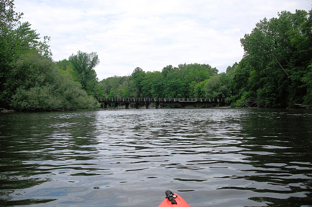
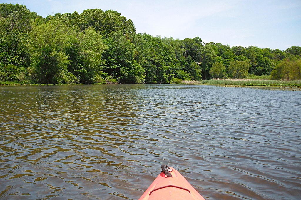
West of the two parks and the bridge, a mid-river island was a convenient spot for a break. We beached our kayaks and had lunch on a sandbar.
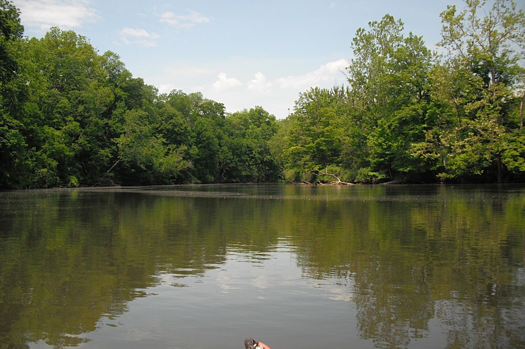
Past the island, the river turned north and widened considerably.

On the day of our trip, this was the spot where the wind began effecting our voyage. For the rest of the day, the wind would dictate our course. It was blowing a steady 20 mph with gusts over 30 mph. We paddled out of the wind whenever practical.
The river forms a large loop around the Allegan County Fairgrounds. At the north end of the loop, the river divides into channels around several islands. I’m not sure how many islands there are, but I think there are five. You can’t see all of the islands from any one spot. We chose the southern-most channel around the islands, but any channel will do. Keep an eye out for shallow water.
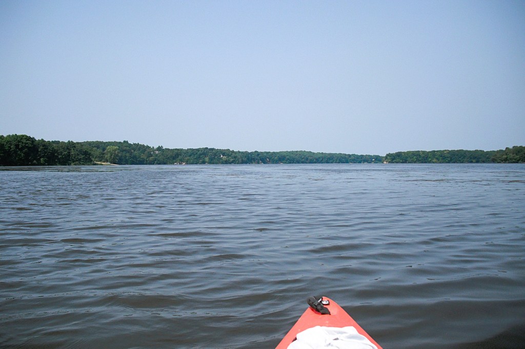
After the islands, the channels combine to form one wide waterway all the way to Lake Allegan.

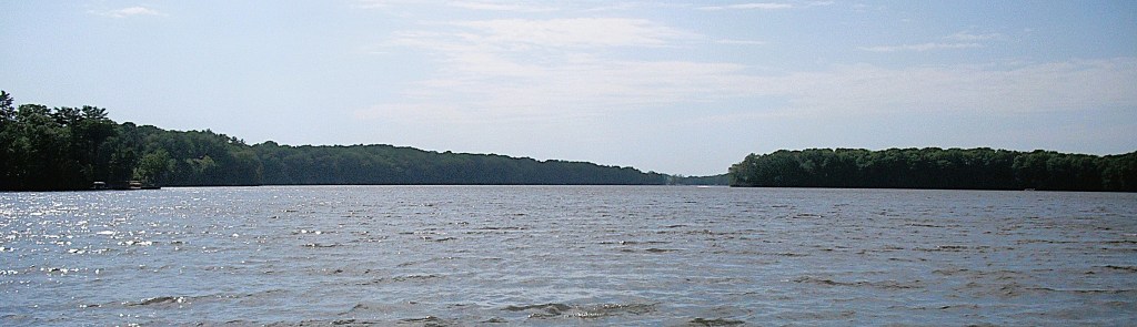
We entered Lake Allegan at the M40/M89 highway bridge over the Kalamazoo River. The lake is a reservoir behind the Allegan Dam, also called the Calkins Dam. The shoreline of Lake Allegan is developed, but most of the homes are spaced far apart.
The 1600 acre lake is six miles long.
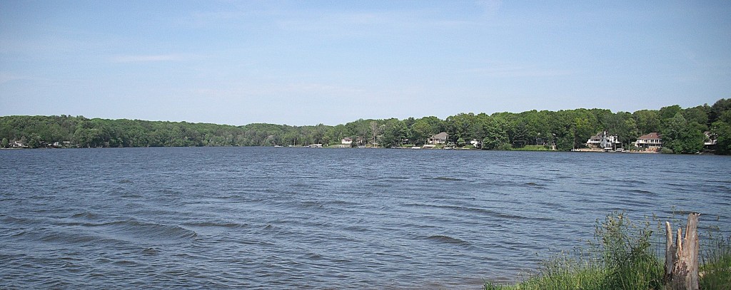
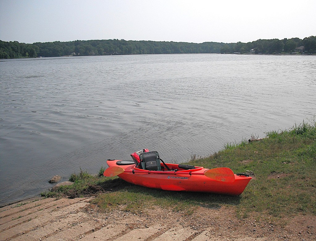
The lake access that we chose, Echo Point, was less than half way across the lake, but it felt twice that long, paddling against that wind. The Echo Point boat landing is west of Allegan, on Monroe Road, on the south side of the lake.
For a longer trip, touring the whole lake, there is a boat landing next to the dam, on Allegan Dam Road, on the northwest corner of the lake. I chose to explore Lake Allegan on my next trip.
We found this trip to be tranquil and scenic. The combination of windy conditions and no river or lake current tested our endurance. We were tired but happy at the end of our trip. It was another segment of our goal: to paddle the Kalamazoo River from Albion to Lake Michigan. Completed segments have been posted. The remaining segments will be posted as we kayak them. If you replicate our journey down the Kalamazoo, you’ll see why it’s my favorite river. Several years after I wrote this post, we completed our Kalamazoo River journey from Albion to Saugatuck. It took eighteen individual trips. The memories will last a lifetime!
