Big Fish Lake is located just east of Orangeville, south of Gun Lake. To get to the lake, take a two-track trail north from West Guernsey Lake Road, between Enzian Road and Norris Road. The primitive boat launch is on Orangeville Creek, a tributary of the Gun River.
If you go downstream, You will arrive at a lake simply called Mill Pond.
The lake is created by a dam. Below the dam, a two-track trail travels from the road down to the edge of the creek and emerges on the other side of the creek. The trail then continues on up to the road. This spot is locally known as “car wash”. Mill Pond has a fully developed waterfront and is worth a look.
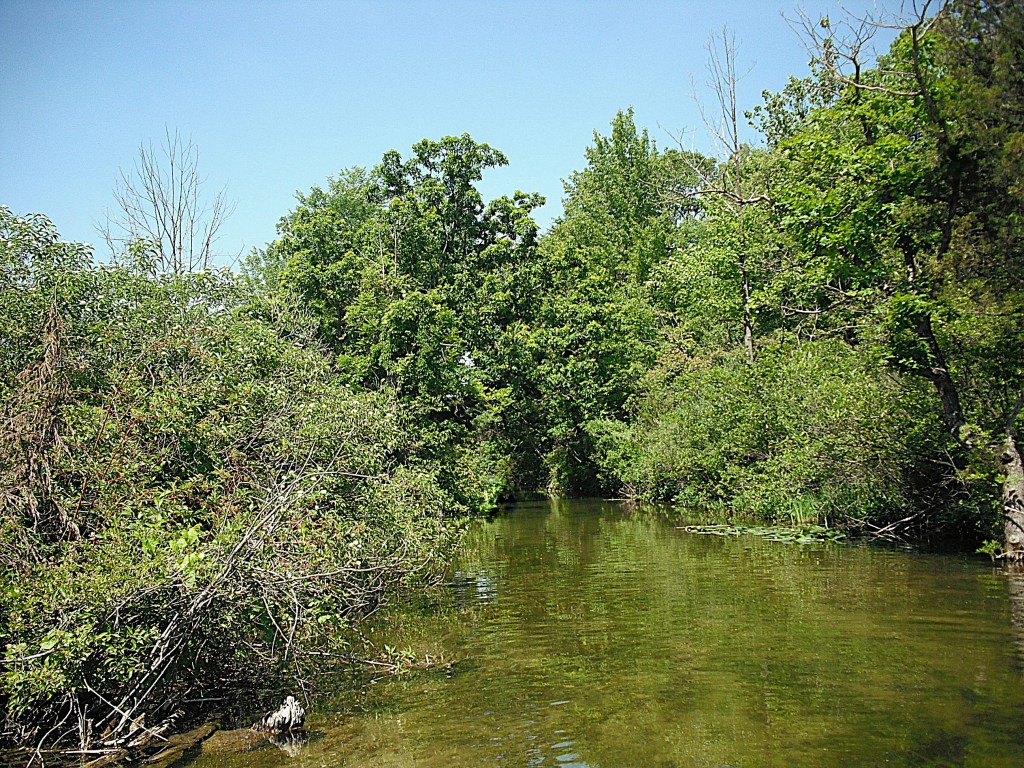
A short paddle upstream on the creek from the landing takes you to Big Fish Lake.
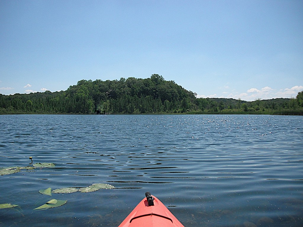
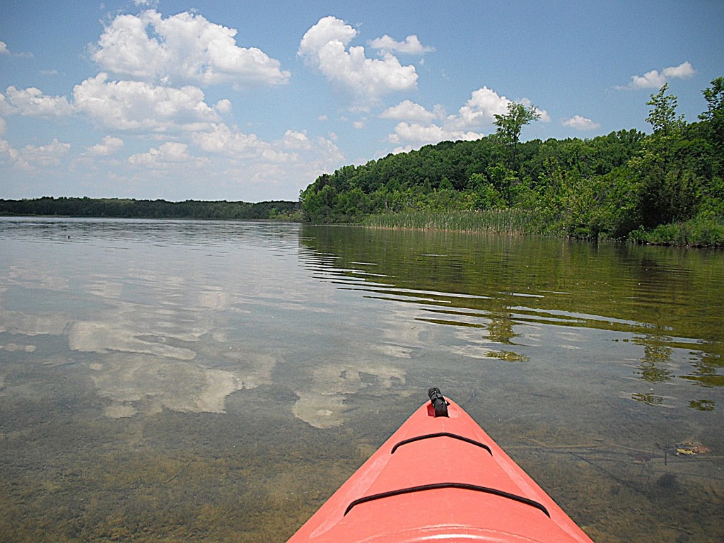
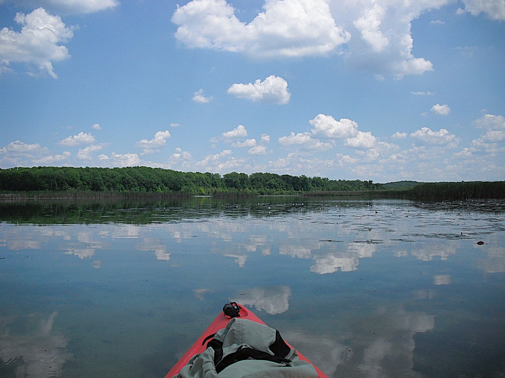
The lake is surrounded by state land, Barry State Game Area. The lakefront has no development. Tamarack Creek flows into Big Fish Lake on the south end.

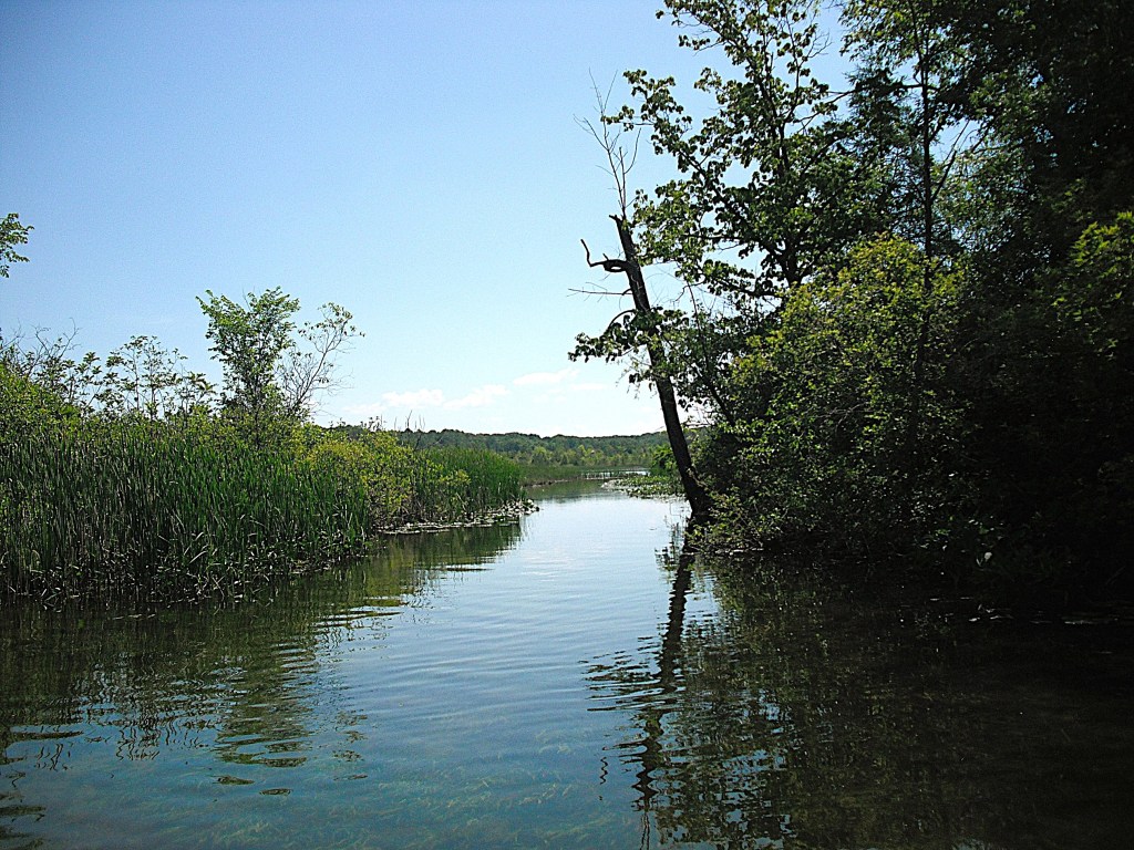
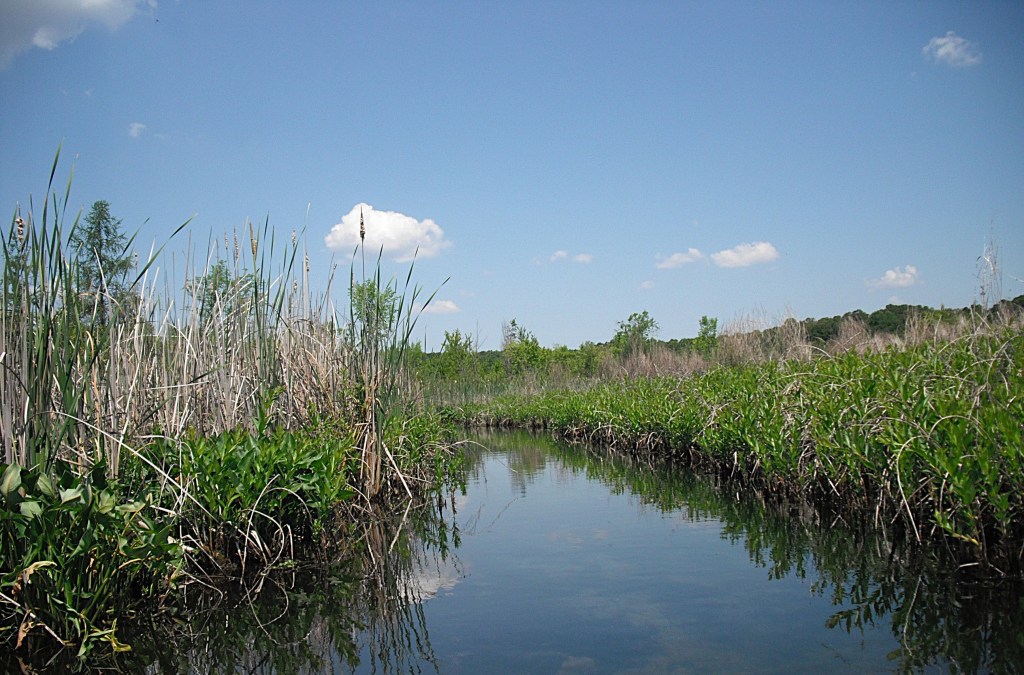
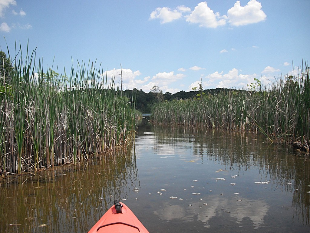
I have not paddled up the creek past the West Guernsey Lake Road bridge, but I think it is only navigable for a short distance. Months after this was written, my friend, Dan, kayaked up the creek, all the way to Tamarack Lake. He had a hard time fitting under the bridge. Heading straight east across Big Fish Lake from Orangeville Creek, you will find a creek mouth on the east shore. This narrow, winding, unnamed creek will take you through a cattail marsh to Horseshoe Lake.
Horseshoe Lake consists of two connected bodies of water. I will refer to them as the south basin and the north basin. The first lake that you come to is the south basin.
It has one home that is barely noticeable.
The stream connecting the south basin to the north basin is short, narrow, and lined with water willow.
The north basin of Horseshoe Lake is undeveloped.
A tiny pond is adjacent to the far end of the north basin of Horseshoe.
After you return to Big Fish Lake, head north along the east shore.
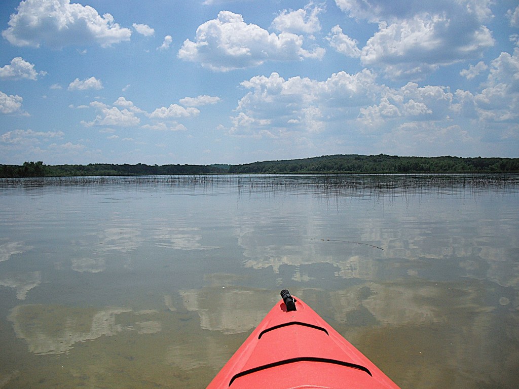
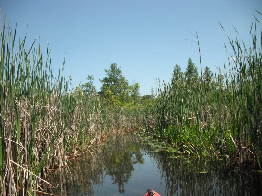
At the northeast end of Big Fish Lake, there is a short channel through a cattail marsh leading to Lime Lake.
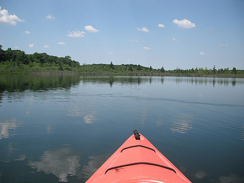
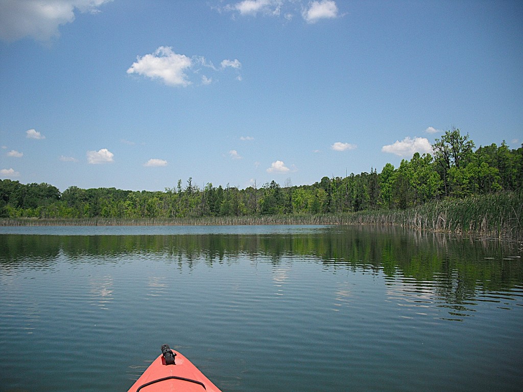
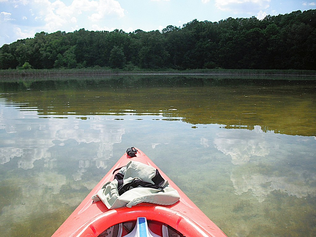
This lake is only about 20% developed, all in one portion of the lake, so there is plenty of wild shoreline to explore.
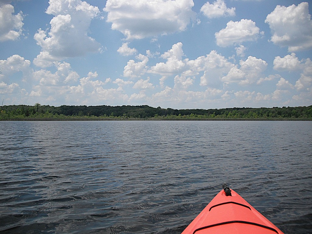
At the north end of Big Fish Lake, a steep hill goes down to the water’s edge. A trail goes down the hill and where it meets the water is a good spot to take a break and go for a swim.
The west shore of Big Fish Lake, viewed from the north, is primarily cattail marsh.

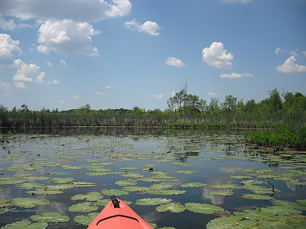
At the northwest end of Big Fish Lake, there is a large shallow pond back in the cattails that is fun to explore.
After cruising around the perimeter of the pond, I called it a day and paddled back to Orangville Creek and the landing. It’s easy to spend a whole day exploring Big Fish Lake and the surrounding lakes!
