Plainwell has two city parks with boat landings on the Kalamazoo River. I have used both landings on different occasions. Either one is a good choice. Darrow Park is on the west side of the river on Hicks Street, south of M89.
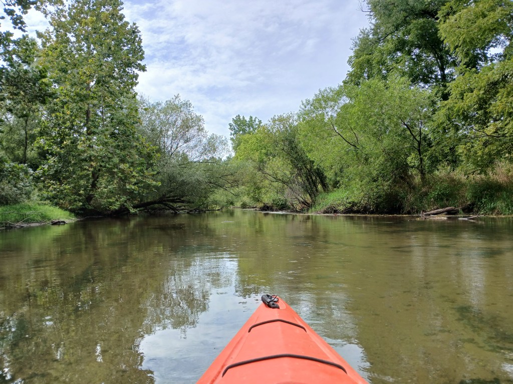
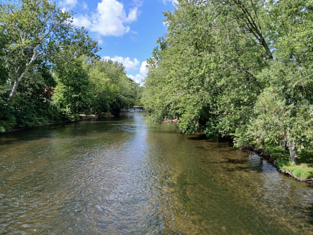
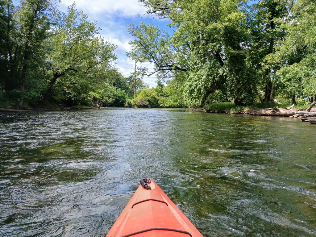
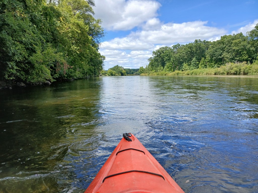
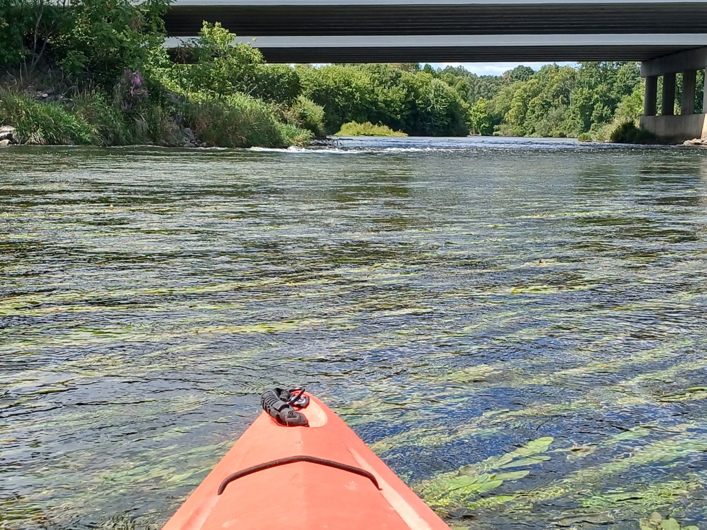
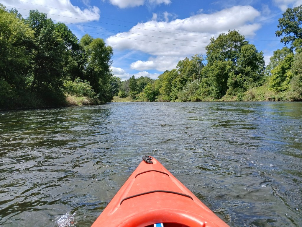
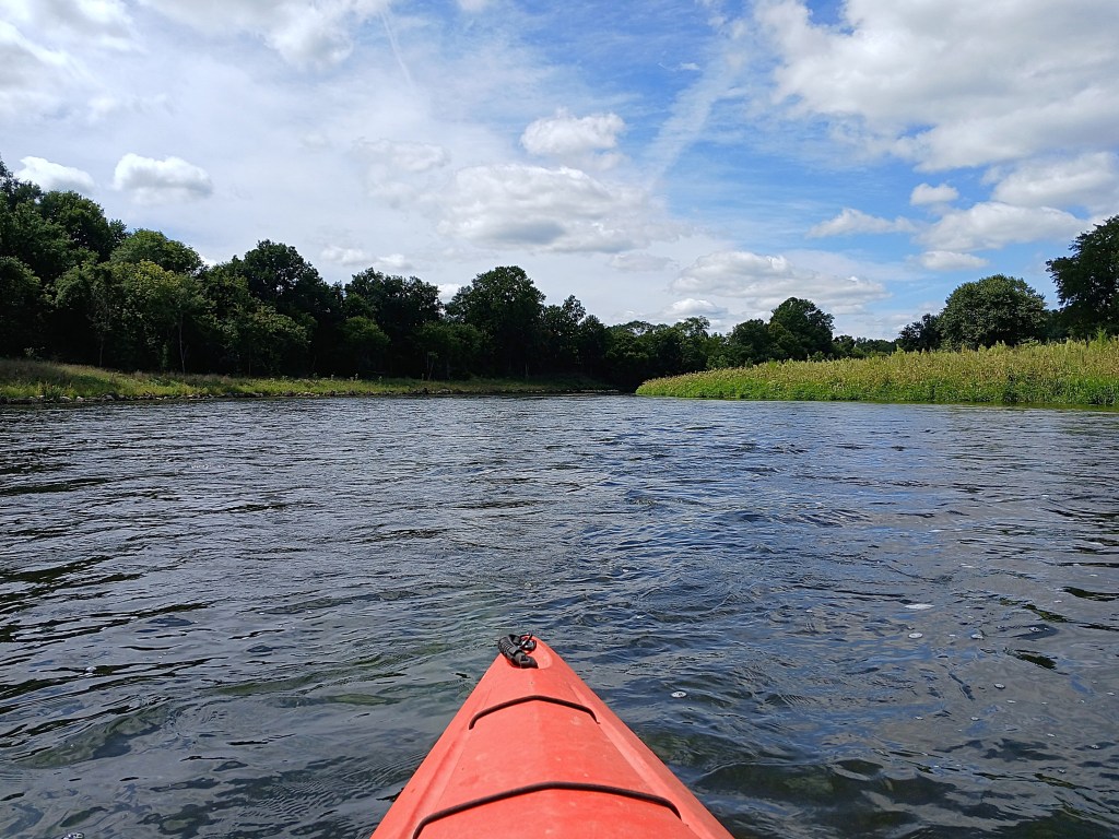
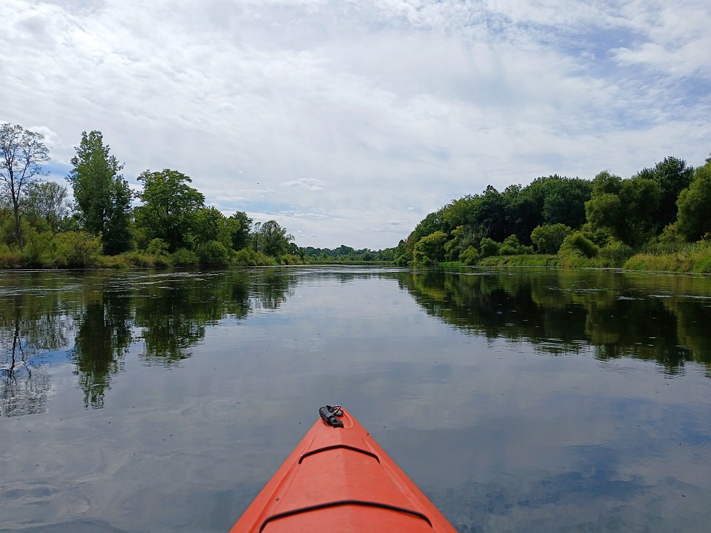
The next three photos follow the Kalamazoo River through Plainwell from Darrow Park to the 10th Street/Main Street bridge.
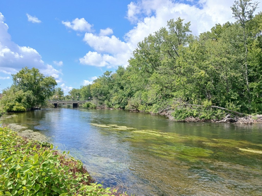
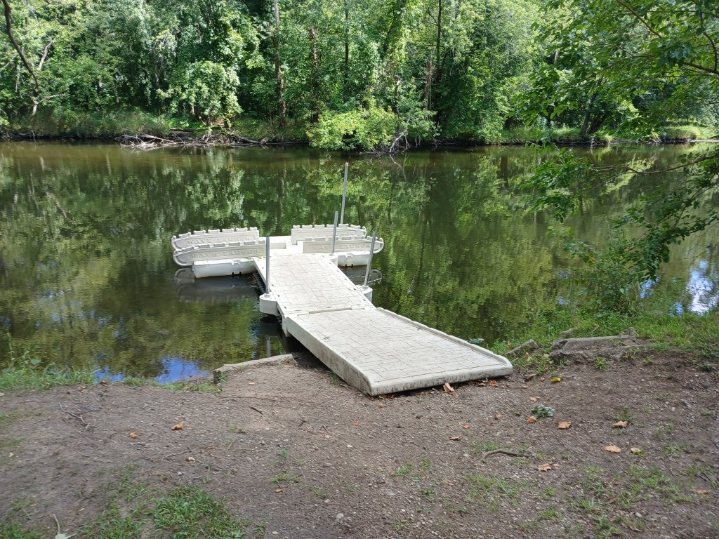
Two islands are immediately downstream from the 1oth Street bridge. Fannie Pell Park is south of the first island. I started my trip at the Pell Park boat landing.
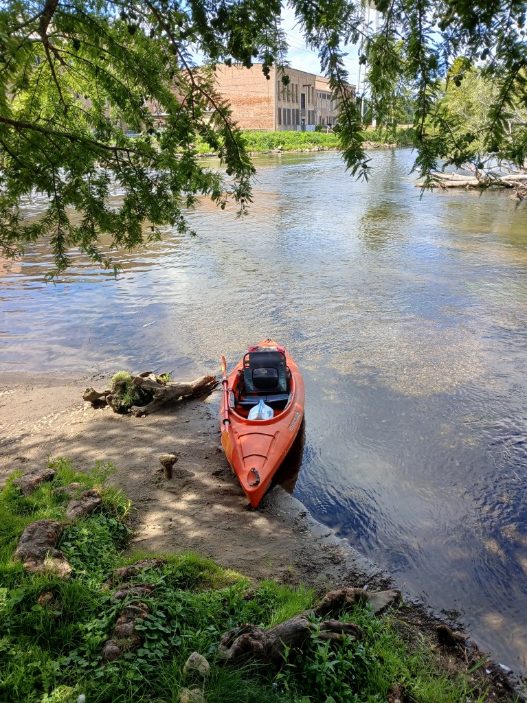
The friendly folks at Plainwell Kayak Company spotted my car at the landing in Otsego for a reasonable fee. They also rent kayaks.
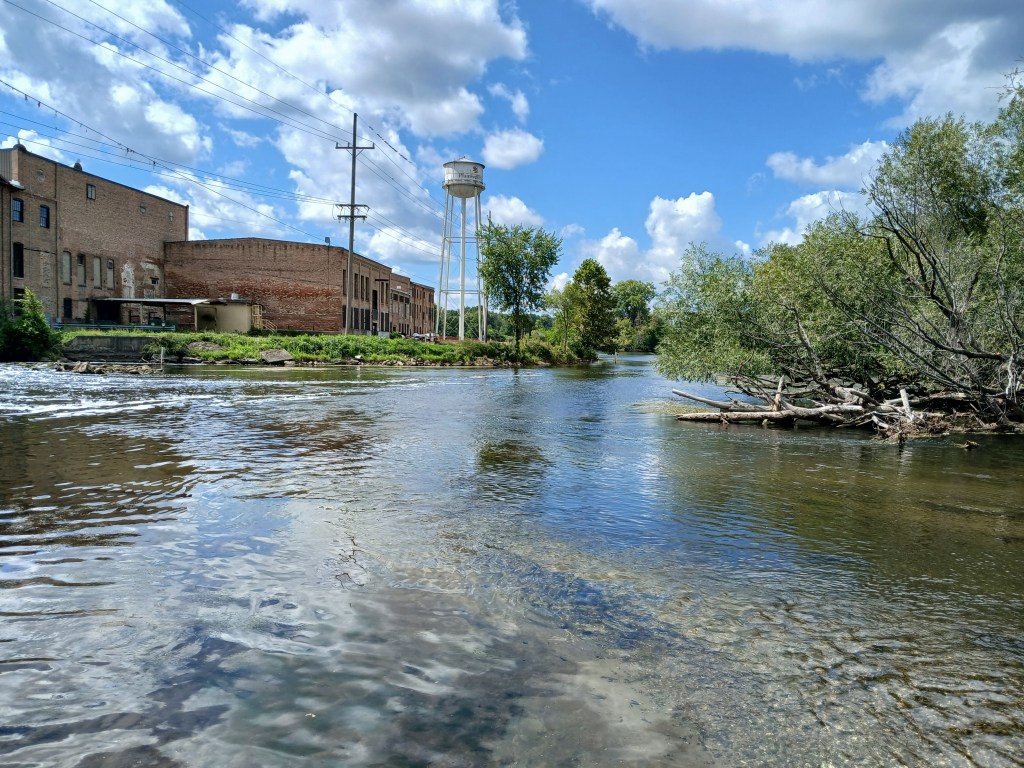
The Plainwell Mill Race flows into the Kalamazoo River next to Pell Park

Downstream from Pell Park, the old paper mill dominates the scenery.
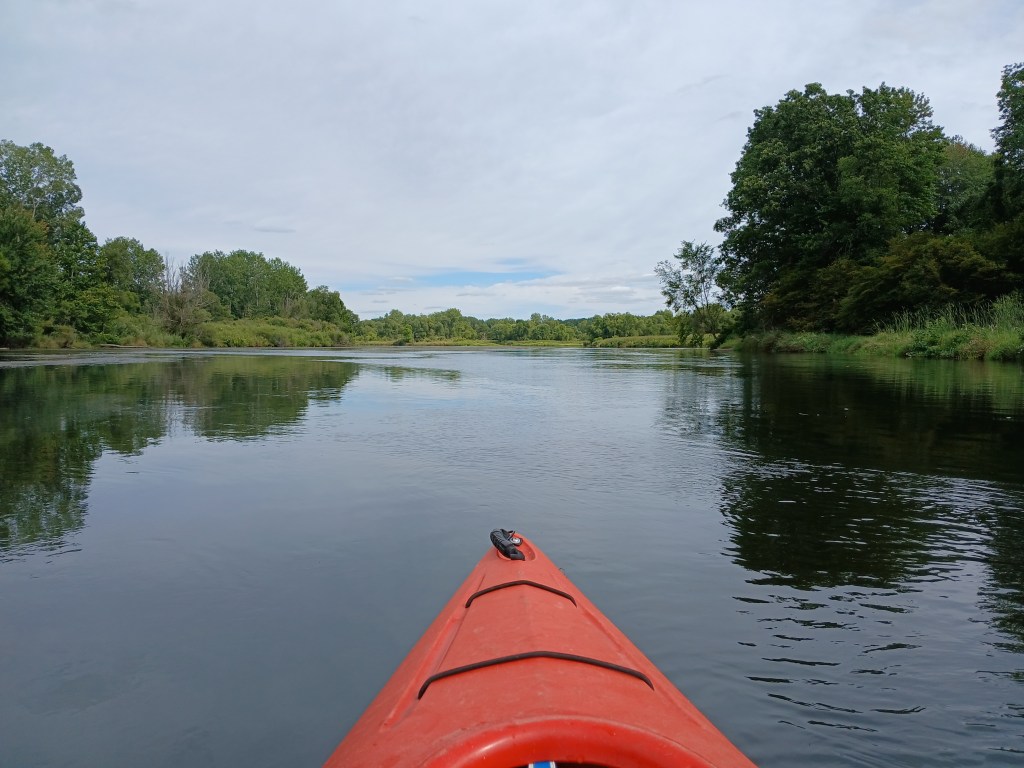
Just past the mill, the river splits into four channels around three islands.
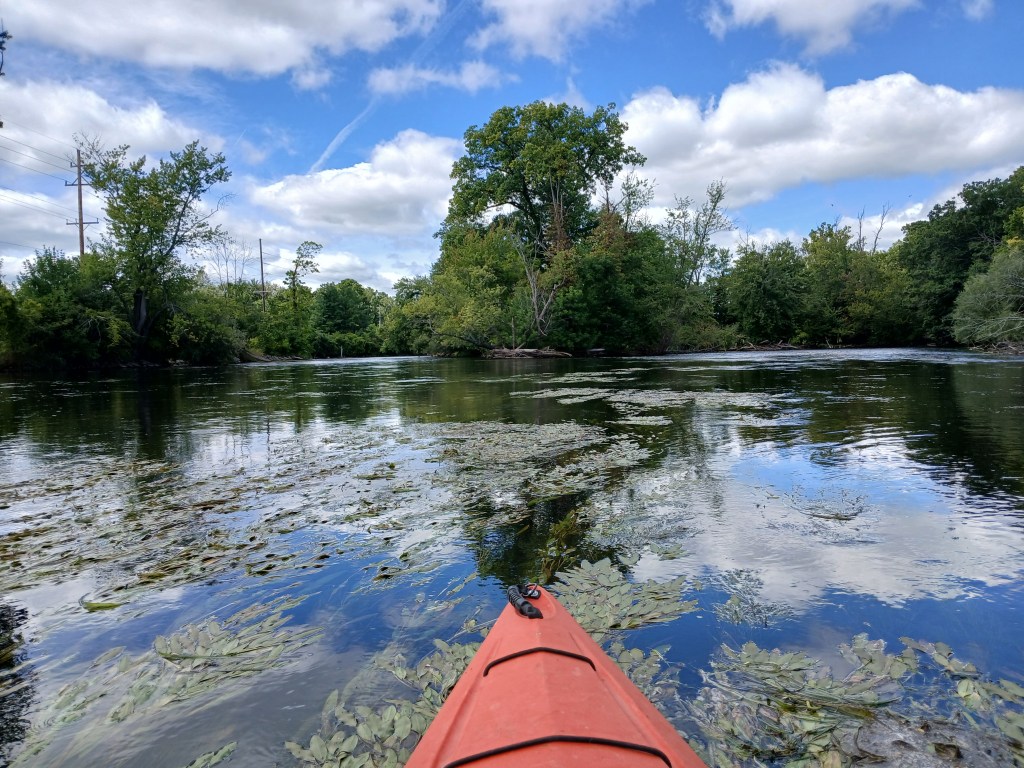
The south (left) two channels are recommended for safe passage.
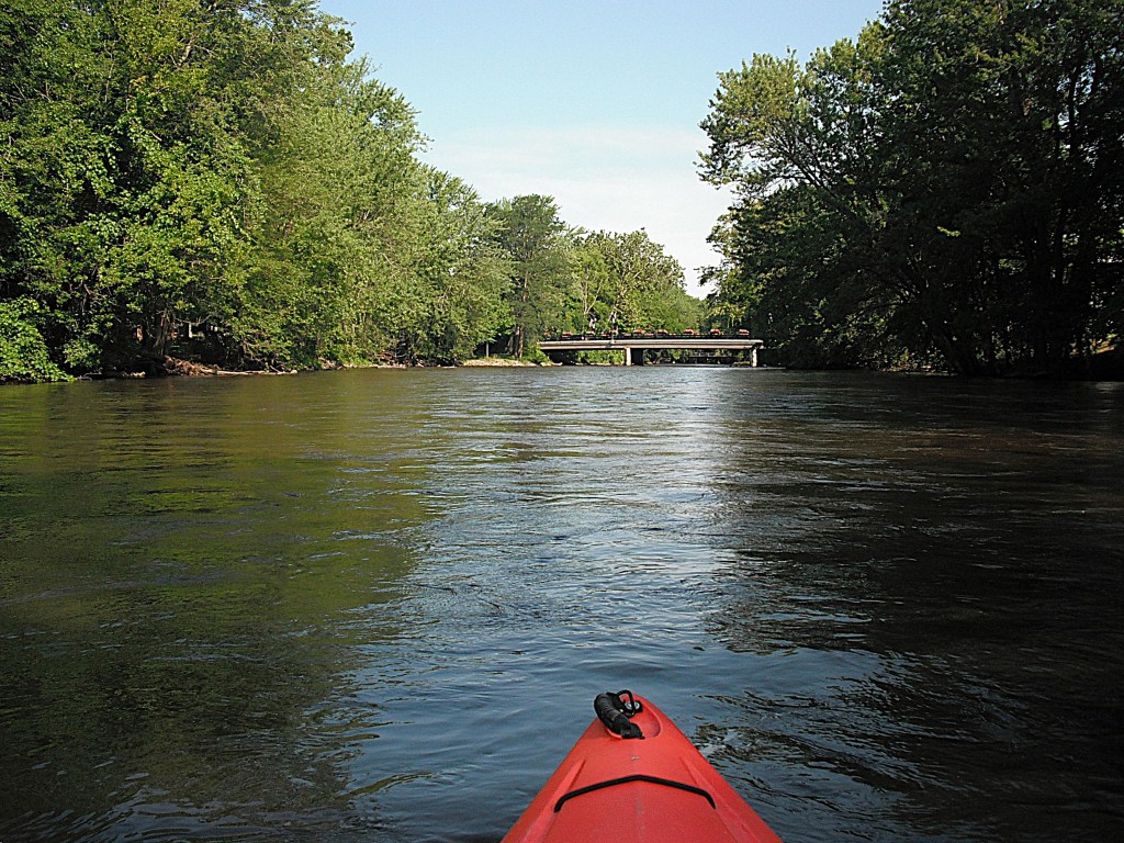
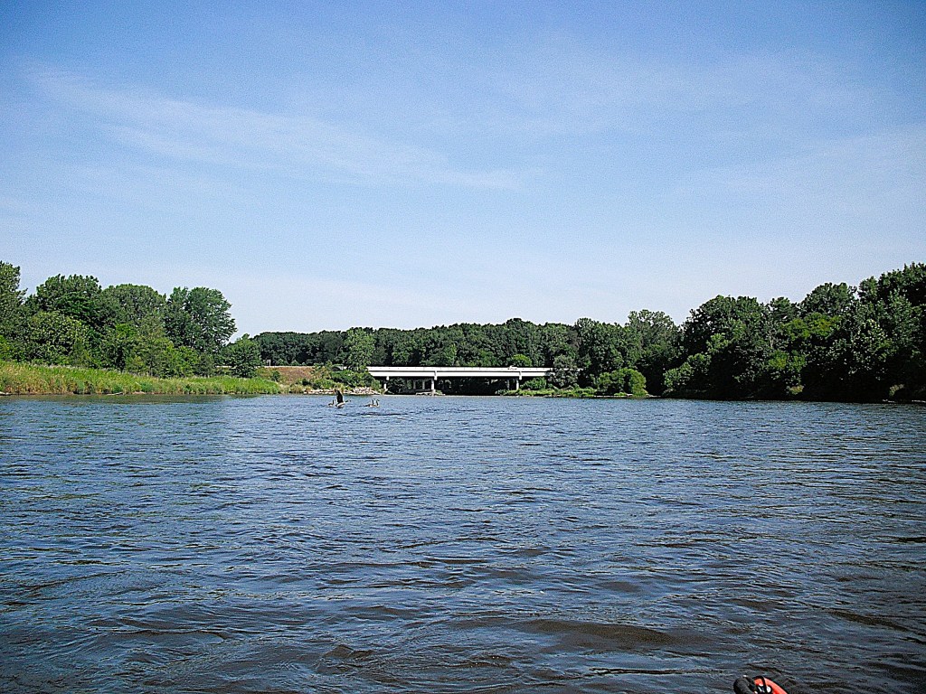
Continuing downstream, the river flows straight west to the US131 bridge.
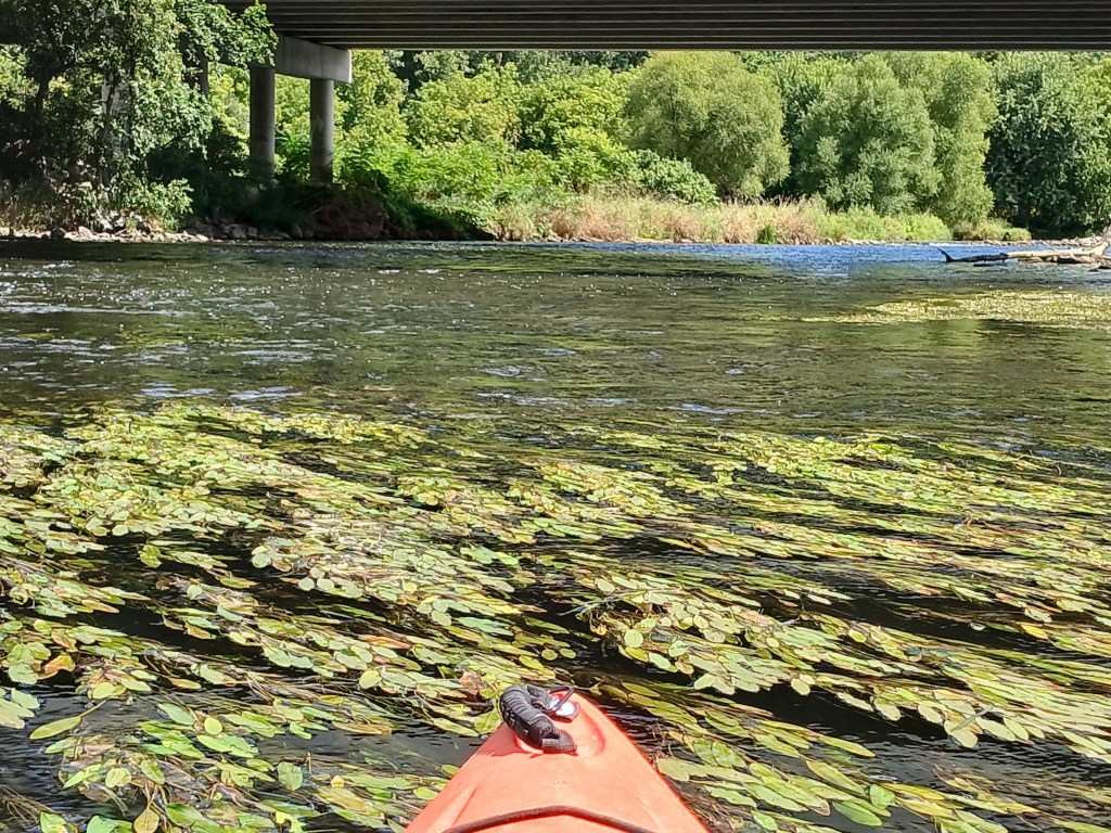
Under the bridge, light rapids are waiting for kayakers. Choose between two channels, one on either side of the center bridge support. The left photo is the north channel viewed from downstream. The right photo is the south channel viewed from upstream. Both channels are rocky.
The former site of the Plainwell Dam is about a mile downstream from the US131 bridge. The dam was removed and the river was restored to its original course. When the backwater of the dam was drained, the contaminates of the exposed lake bed and riverbank were removed. The result of all this is a mile of river with swift current and some light rapids.
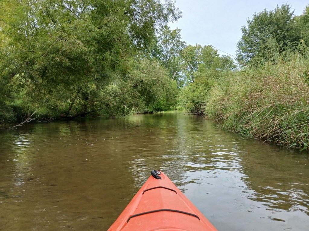
Downstream from the old dam site, the river slows and divides into many channels, creating a bunch of islands. “Spreads” is a common term for this feature. I recommend exploring around the islands of this partially wooded lowland. There’s always a chance that some of the channels might be blocked by fallen trees, so be prepared to turn around and seek another channel.

Eventually, all the channels of the spreads combine to form one channel.
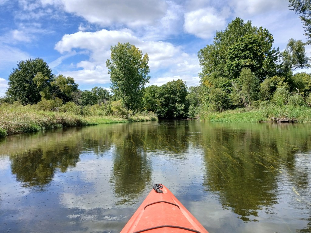
After the spreads, I explored a small channel that branched off to the north.
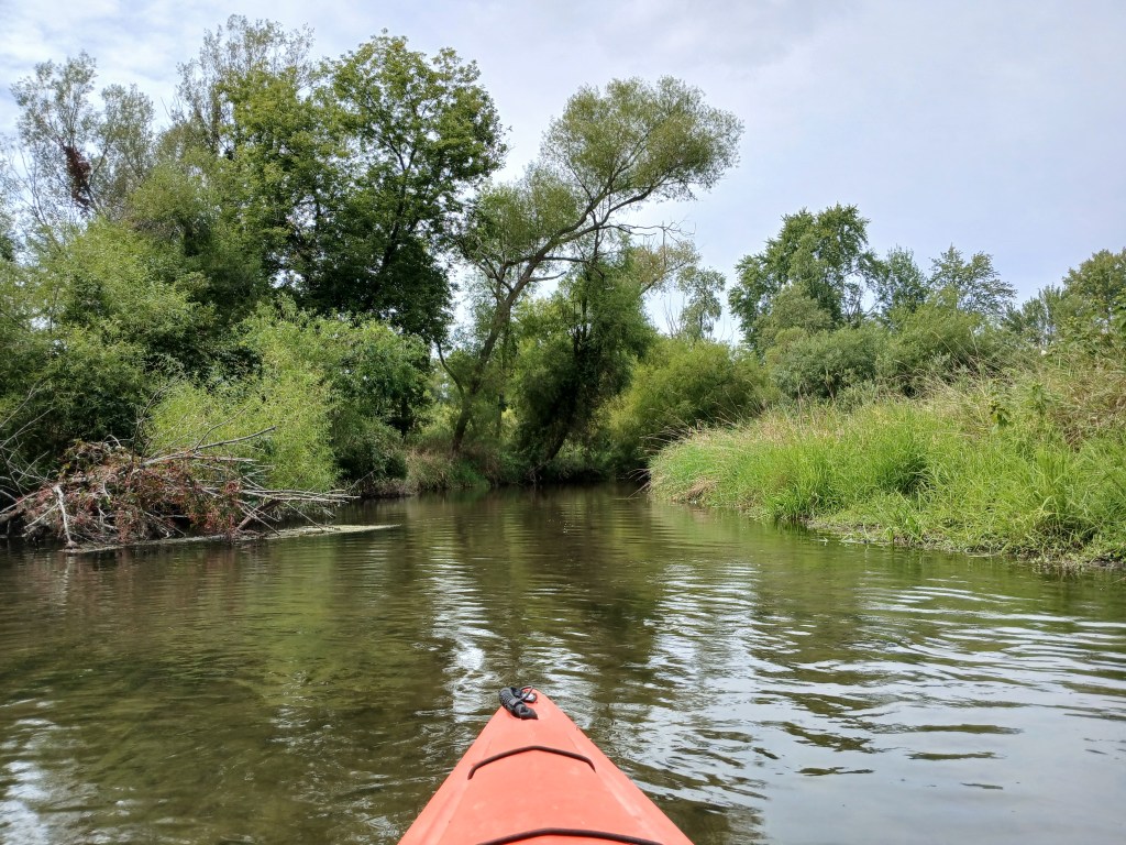
The Gun River flows into this channel, but it wasn’t navigable. I continued down the channel.
After an easy portage, the channel rejoined the river.
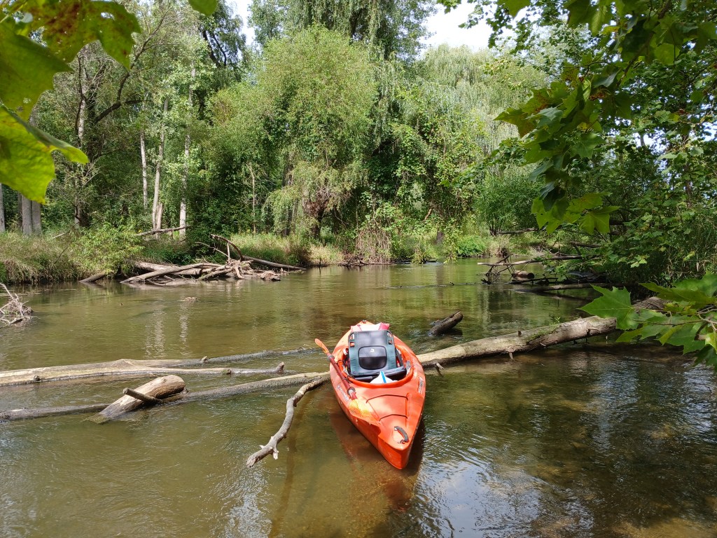
This side trip was cool!
When the USG Mill (formerly Otsego Paper Mill) comes into view, you will be close to the end of your trip. The Jewel Street boat landing is on the south side of the river, 500 feet upstream from the Otsego City Dam. If you go over the dam, then you missed the landing.

On this trip, the Kalamazoo River was right next to the busy Plainwell-Otsego commercial corridor. The scenery on the river made me forget about the hustle and bustle that’s just a short distance away.