LEVEL PARK/OAK PARK TO FORT CUSTER STATE RECREATION AREA
The origin of this trip is in the communities of Level Park and Oak Park on the west side of the city of Battle Creek. Kalamazoo River access is at a bridge on a road that appears to have two names: Custer Drive and Clark Road. The access is on the south side of the river, on the east side of the road. A two-track trail that is between the guardrail and the woods will take you to a small parking area and a short footpath downhill to the water. A better landing is directly across the river, on the north side of the river, on the east side of the bridge. The trail to the riverbank isn’t the greatest. I recommend hauling your kayak in a truck or a SUV if you plan to use this access. You will paddle under the bridge to begin your trip.
My friend Dan, a accomplished paddler, made the trip with me.
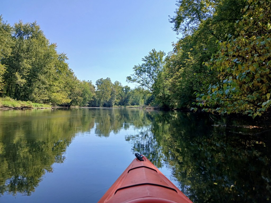
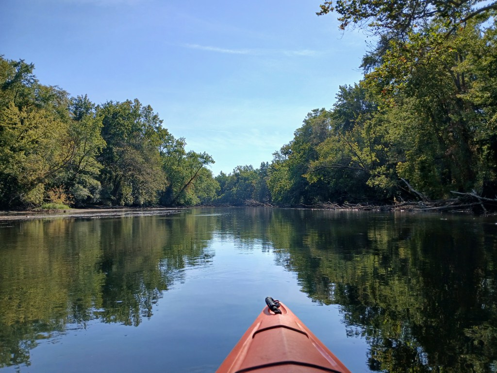
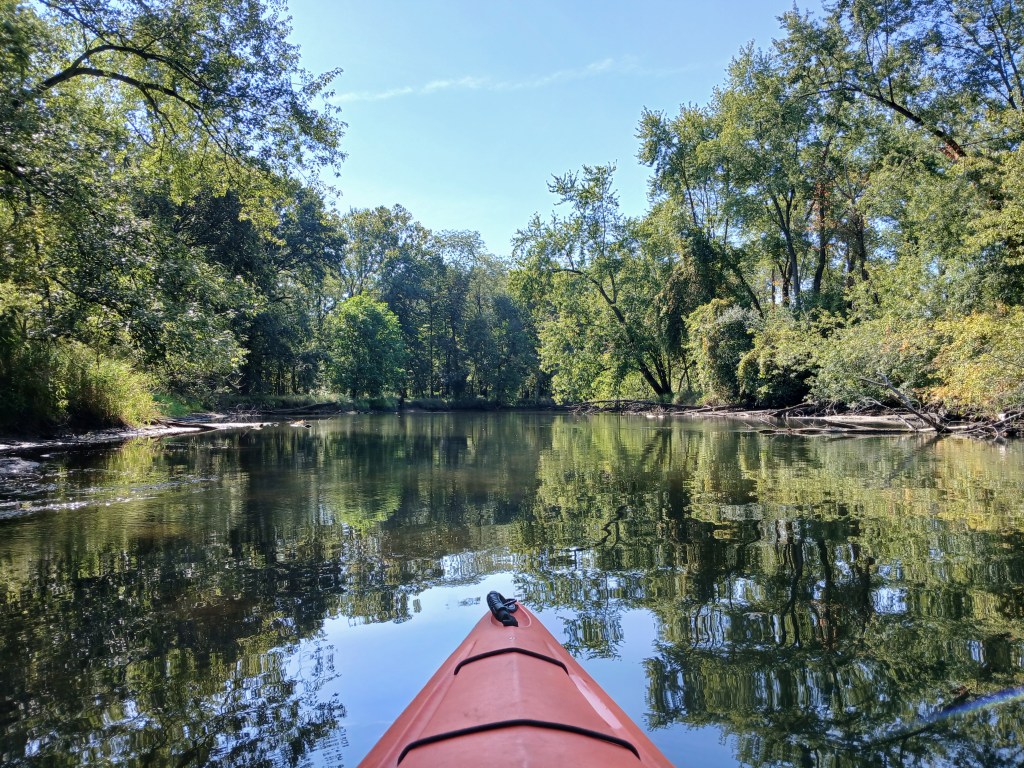
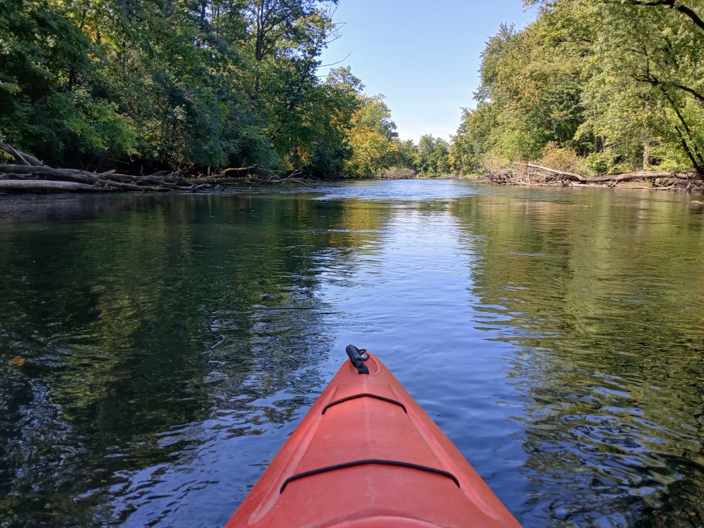
This stretch of the river is wide with slow current and is easily paddled by kayakers of all skill levels. Almost all of the shoreline is wooded. We tried to explore around the many islands, but we were turned back by log jams, downed trees, and shallow water.
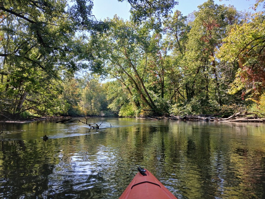
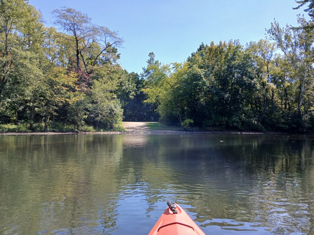
There are plenty of sandbars that invite you to take a break. We stopped for lunch and continued on with our voyage.
There are only two bridges to paddle under and they are on the last leg of the trip. The M96 bridge and a railroad bridge are right next to each other.
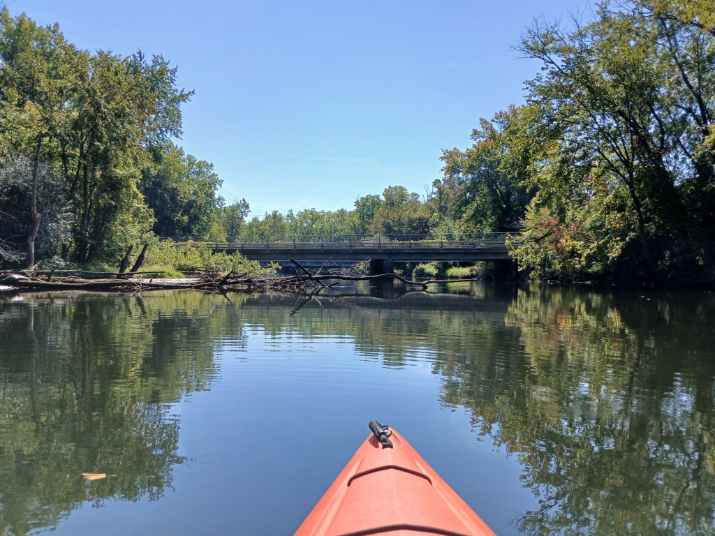
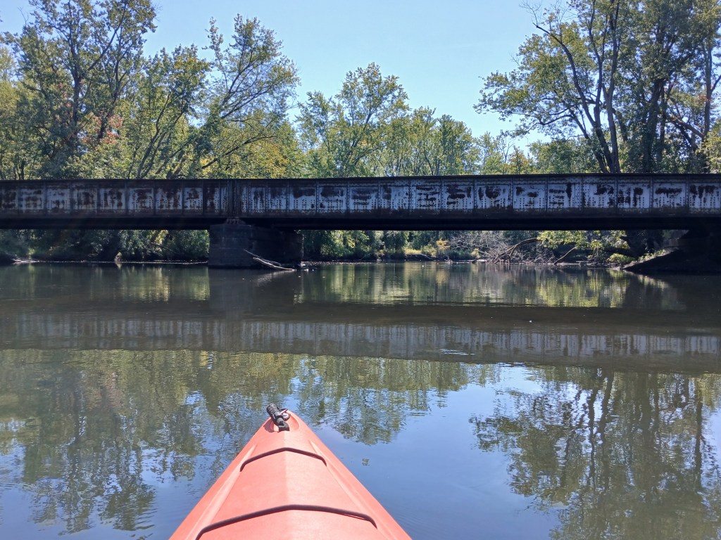
Downstream from the two bridges is a section of riffled water with a few boulders.
This part of the river forms the western boundary of Fort Custer State Recreation Area. Continuing downstream, the park boat landing is on the left (east) side of the river. This river access marks the end of the trip.
The vehicle entrance to the recreation area is on the south side of highway M96, just east of the village of Augusta. There are park signs that will direct you to the boat landing.
