D AVENUE TO DARROW PARK
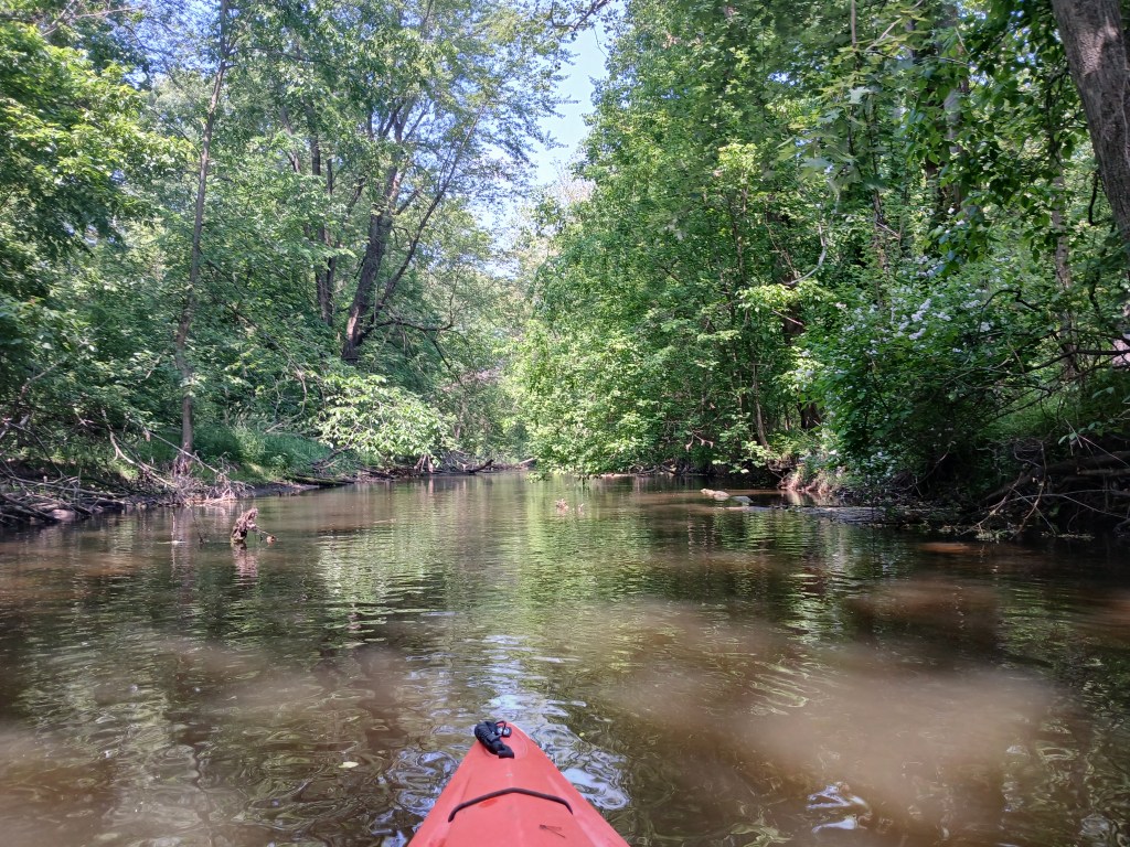
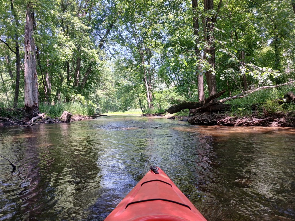
Over the years, I have kayaked the Kalamazoo River from Albion to Lake Michigan. This stretch of the Kalamazoo, from D Avenue to Plainwell, has always been my favorite. There are very few roads or houses that are close to the river, so it feels remote, like being “up north”.

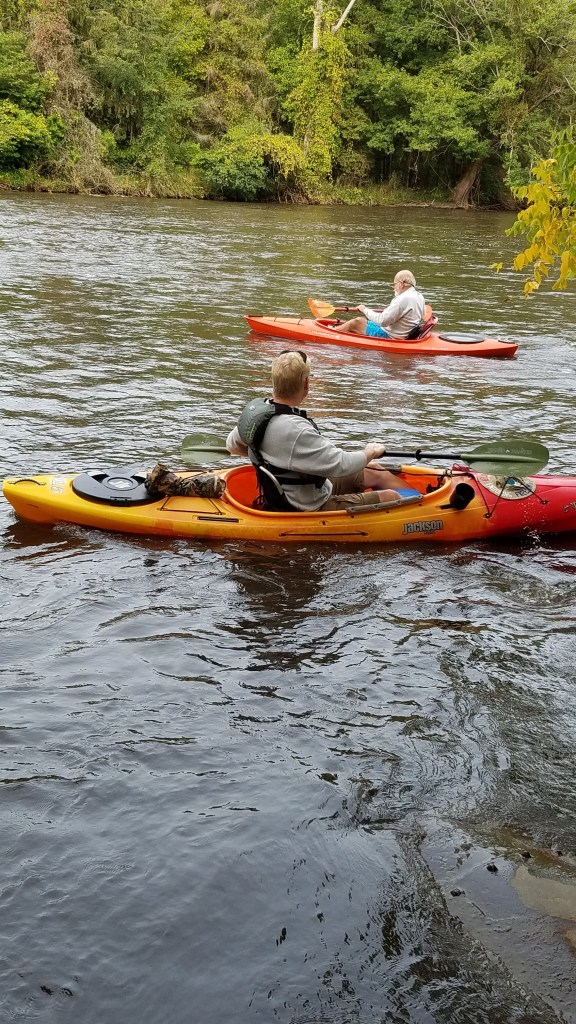
My friend Dan took a day off from work so he could join me on this river voyage. We launched our kayaks at the D Avenue bridge access site in Kalamazoo County. It is on the north side of the bridge, on the east side of the river. The site is privately owned and the fee is one dollar per boat and one dollar per vehicle. Fees subject to change.

We kayaked the river in mid-September and the river was high and dirty. The current in this section varies between slow and moderate, but there are a few stretches of fast water. It is suitable for kayakers of all skill levels. Most of the shoreline is heavily wooded.
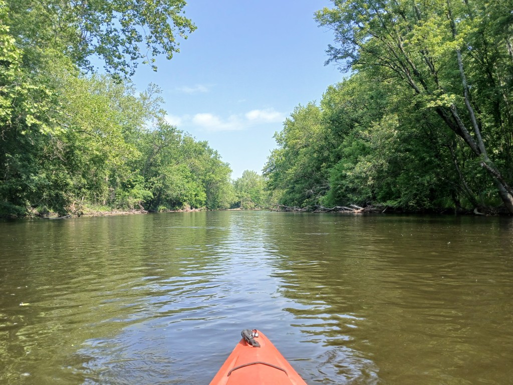
Exploring around the many islands is a enjoyable part of the excursion.
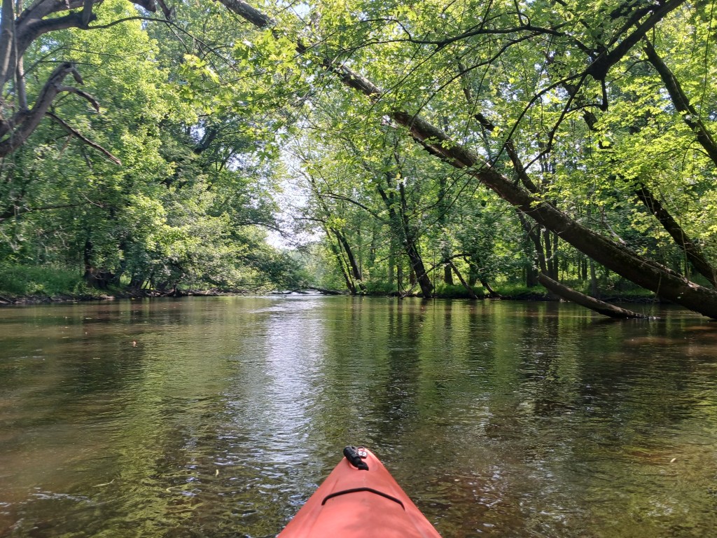
We were unable to paddle around many of the islands due to logjams and fallen trees, but we didn’t care. It’s all part of the fun!
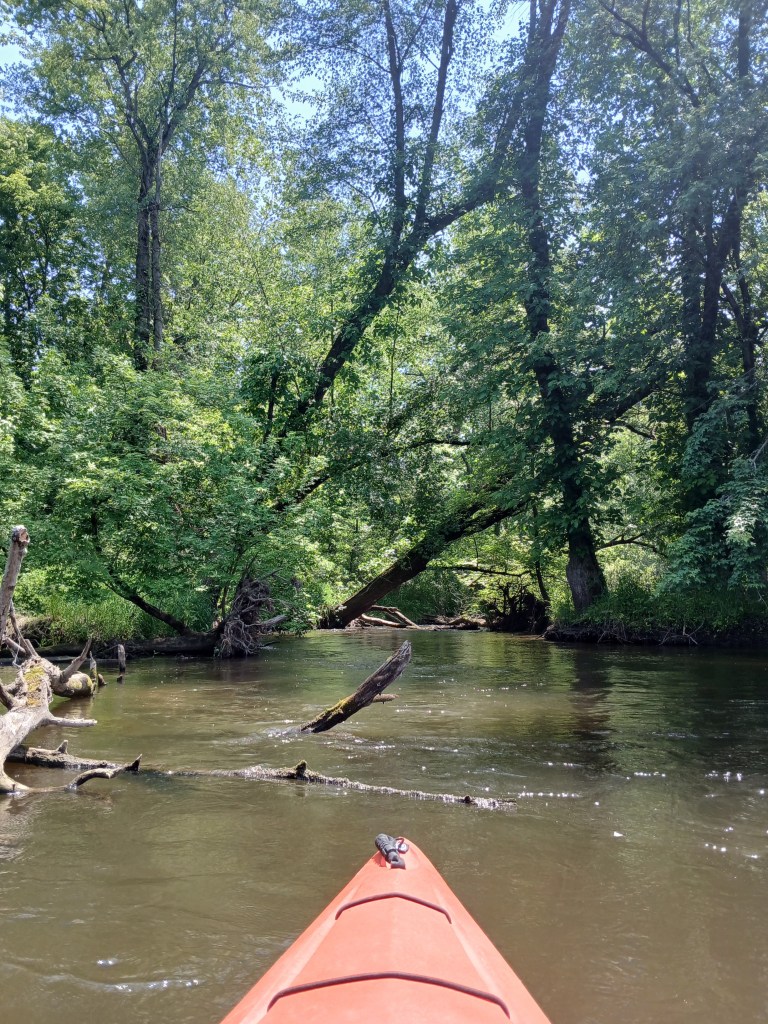
Silver Creek enters the river from the northeast. Paddling up the creek is a nice little side trip. During low water levels, the creek can be too shallow to kayak.
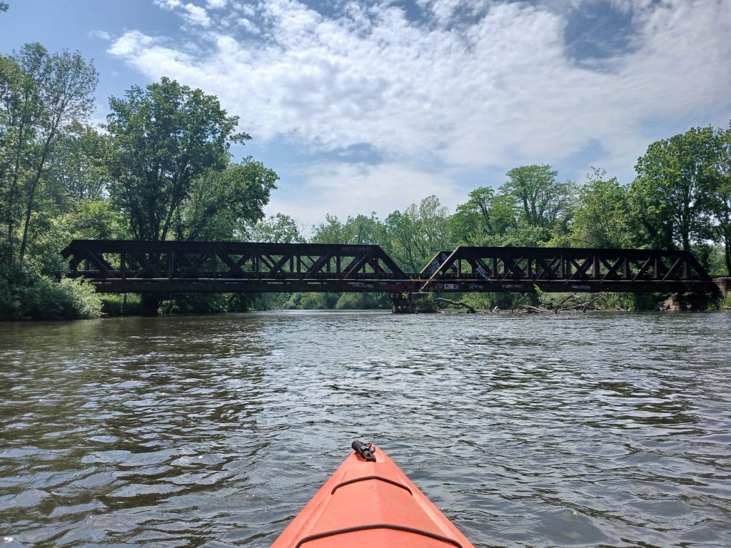
Farther downstream, a railroad bridge spans the river. The pony truss bridge was built in 1900 and is still in use.
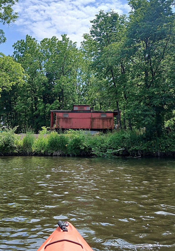
At the end of a straight stretch of the river, a railroad caboose is marooned on the left riverbank.
A short distance downstream, the river splits in two, around a large island.
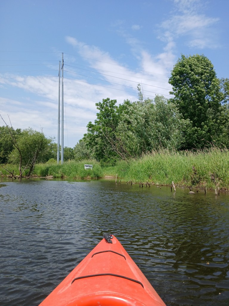
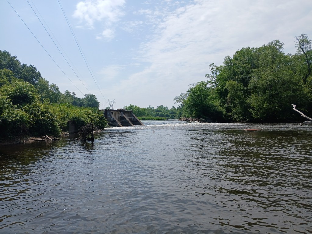
Both channels around the island are navigable. After paddling around the island, the channels converge and there is a dam spanning the river. This dam diverts water to the millrace, which flows off to the left, above the dam. The river flows over the dam. The millrace rejoins the Kalamazoo River farther downstream, creating the island that the city of Plainwell is situated on. Hence the nickname, “The Island City”. There are three options when you approach the dam. Option one is paddling the millrace through town and taking out at Fannie Pell Park. The second option is paddling over the dam. This option can be dangerous for beginners and inexperienced kayakers. We decided to take option three, which is portaging the dam and continuing down the river. The portage is on the right side of the structure. There is a sign identifying the portage and a footpath that will take you downstream from the dam. Make your choice wisely. Always paddle within your limits and abilities. Be safe.
Once you get back in your kayak, Plainwell is only a short paddle away.
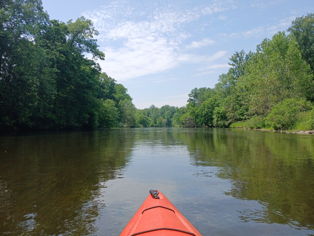
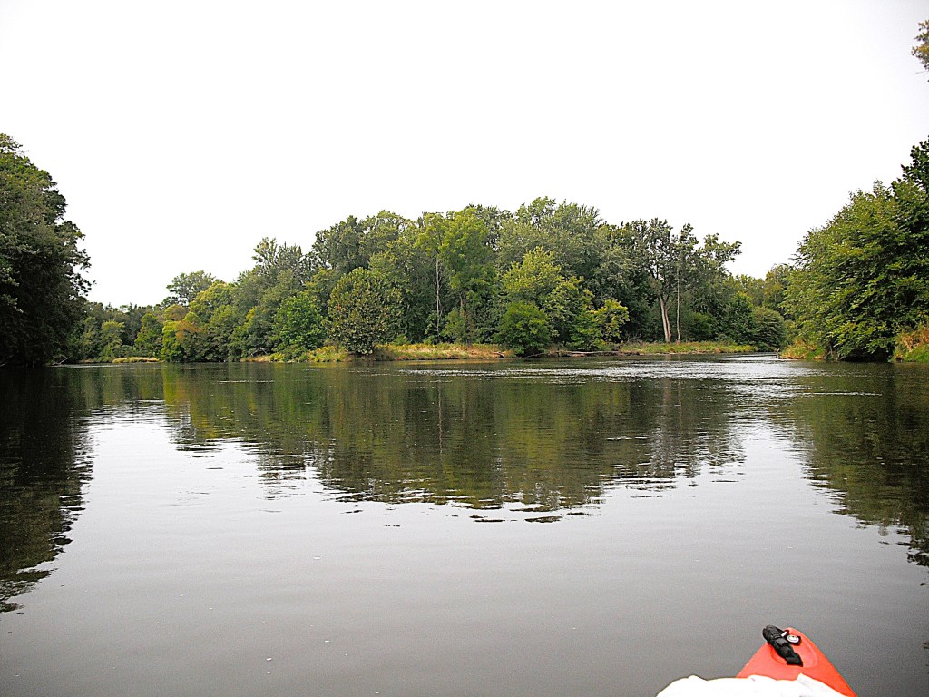
When you paddle into Plainwell, your take out site, Darrow Park, is on the west side of the river on Hicks Street. Heading north on Hicks Street will take you to Highway M89. You can also continue downstream and take out at Sheridan Park on Sheridan Avenue (not a good access site) or Fannie Pell Park on 10th Street/Main Street. Here’s one last look at the river.